The best gravel rides around Smeltertown
4.7
(6)
64
riders
6
rides
Gravel biking around Smeltertown, Colorado, offers diverse landscapes within Chaffee County, known as the "Heart of the Rockies." The region features a mix of rolling ranch country roads, high alpine passes, and trails through pine and aspen forests. Riders encounter varied terrain, from smooth gravel sections to challenging climbs, with views of the Collegiate Peaks and the Arkansas River. High-desert rock formations also contribute to the area's distinct scenery.
Best gravel bike trails around Smeltertown
- The most popular gravel bike…
Last updated: June 28, 2026
20
riders
32.8km
03:02
790m
790m
Hard gravel ride. Very good fitness required. Mostly paved surfaces. Suitable for all skill levels.
4.7
(3)
11
riders
36.6km
02:15
400m
400m
Moderate gravel ride. Good fitness required. Mostly paved surfaces. Suitable for all skill levels.

Sign up for free
4.8
(4)
13
riders
15.4km
00:52
80m
80m
Easy gravel ride. Great for any fitness level. Mostly paved surfaces. Suitable for all skill levels.
4
riders
9.60km
00:38
140m
140m
Easy gravel ride. Great for any fitness level. Mostly paved surfaces. Suitable for all skill levels.
11
riders
56.2km
04:25
990m
990m
Hard gravel ride. Very good fitness required. Mostly paved surfaces. Suitable for all skill levels.
Our route recommendations are based on thousands of hikes, rides, and runs completed by other people on komoot.
Start today with a free account
Your next adventure awaits.
Login or Signup
Tips from the Community

Hillside Drive runs right along the historic Tennessee Pass Subdivision Railway for about a mile
0
0
The summit of Calumet Mountain at 2956 m {about 9000 feet) rises to the west of Ute trail -here viewed across the west flank of the Continental divide, with higher snowcapped ranges in the distance
1
0
The Salida River Trail is a popular walking and biking trail just a few blocks north of the Historic downtown. This attractive trail parallels the Arkansas River, where you can often see whitewater rafters and kayakers in the summer months. This northern section runs along two small lakes as well.
0
0
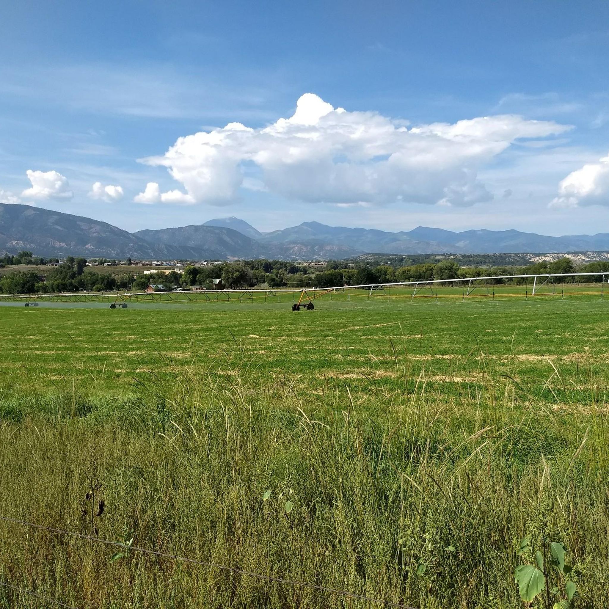
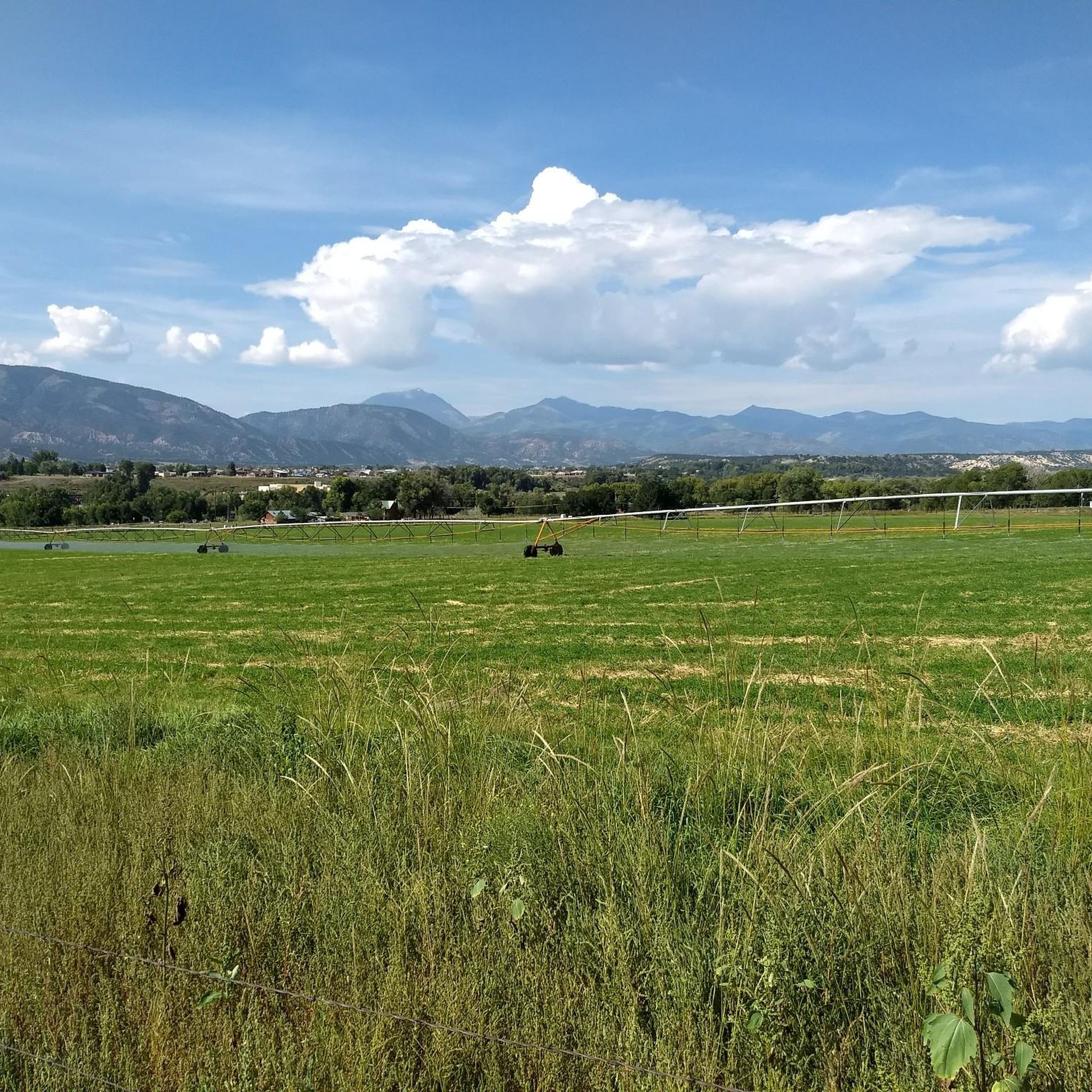
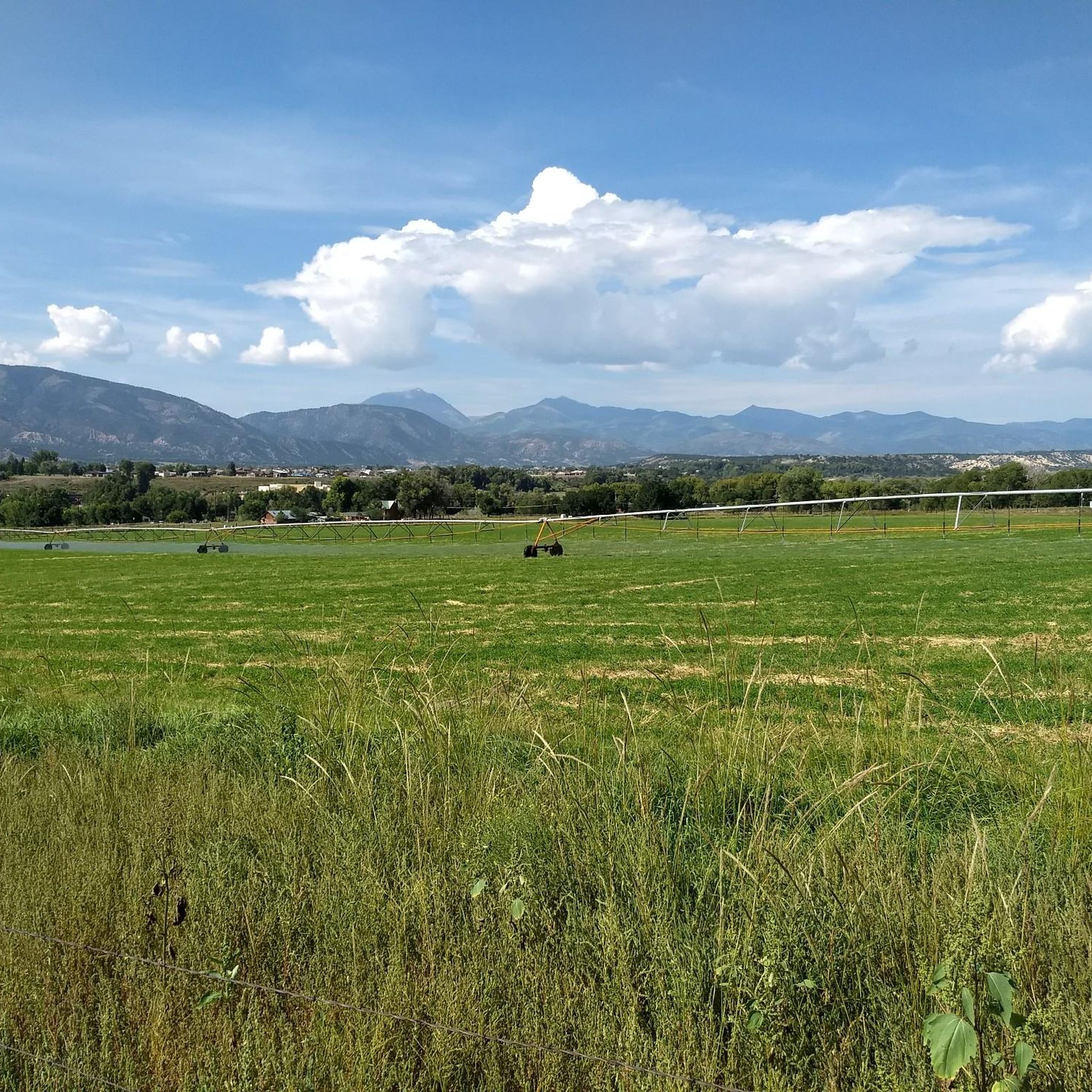
Sweeping views across open prairie to the snow-capped Rocky Mountains
1
0

The Salida River Trail is a popular walking and biking trail just a few blocks north of the Historic downtown. This attractive trail parallels the Arkansas River, where you can often see whitewater rafters and kayakers in the summer months.
0
0

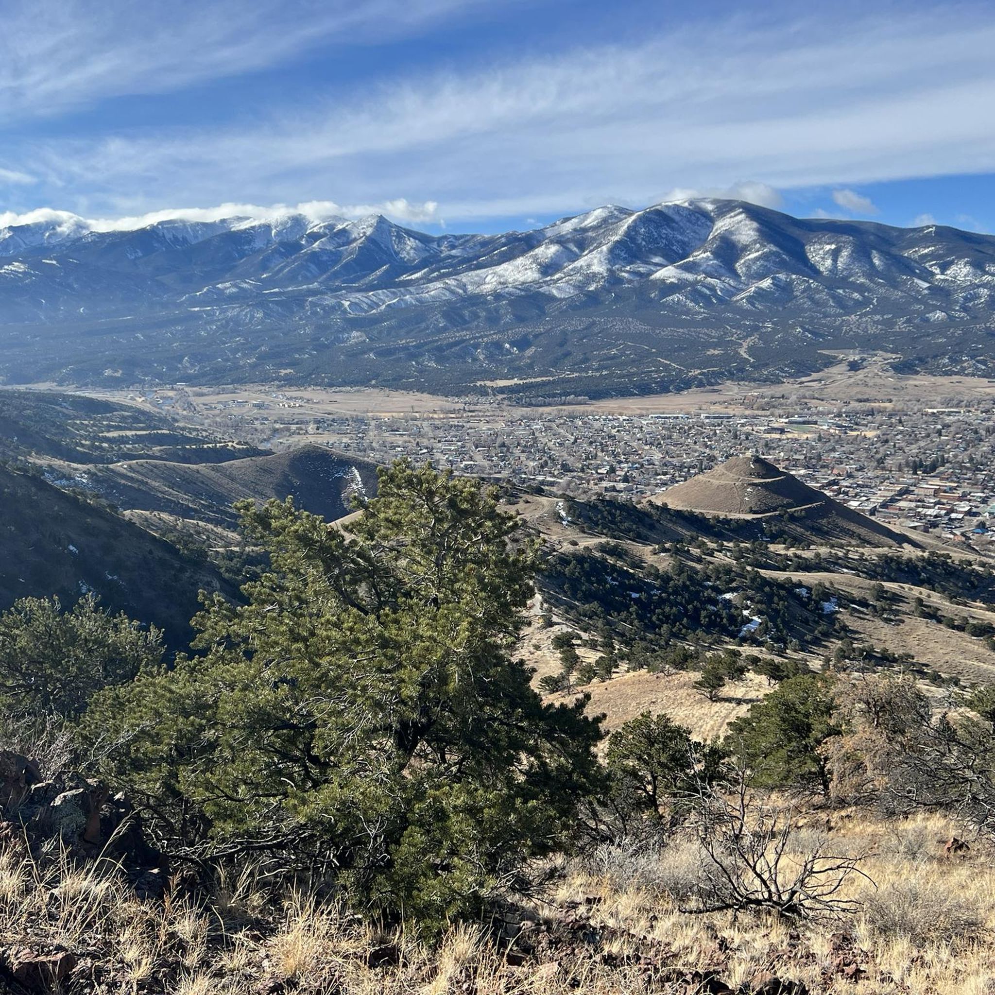
Salida is a beautiful mountain town located in the heart of the Rockies in central Colorado. This little gem has a lot to keep you busy: no matter if you are an artistic mind or an outdoor enthusiast.
0
0
Super fun trail with lots of techy uphill features if you ride towards CR 175. The trail can be ridden in both directions and is easier – and more fun – if you start at CR 175.
1
1
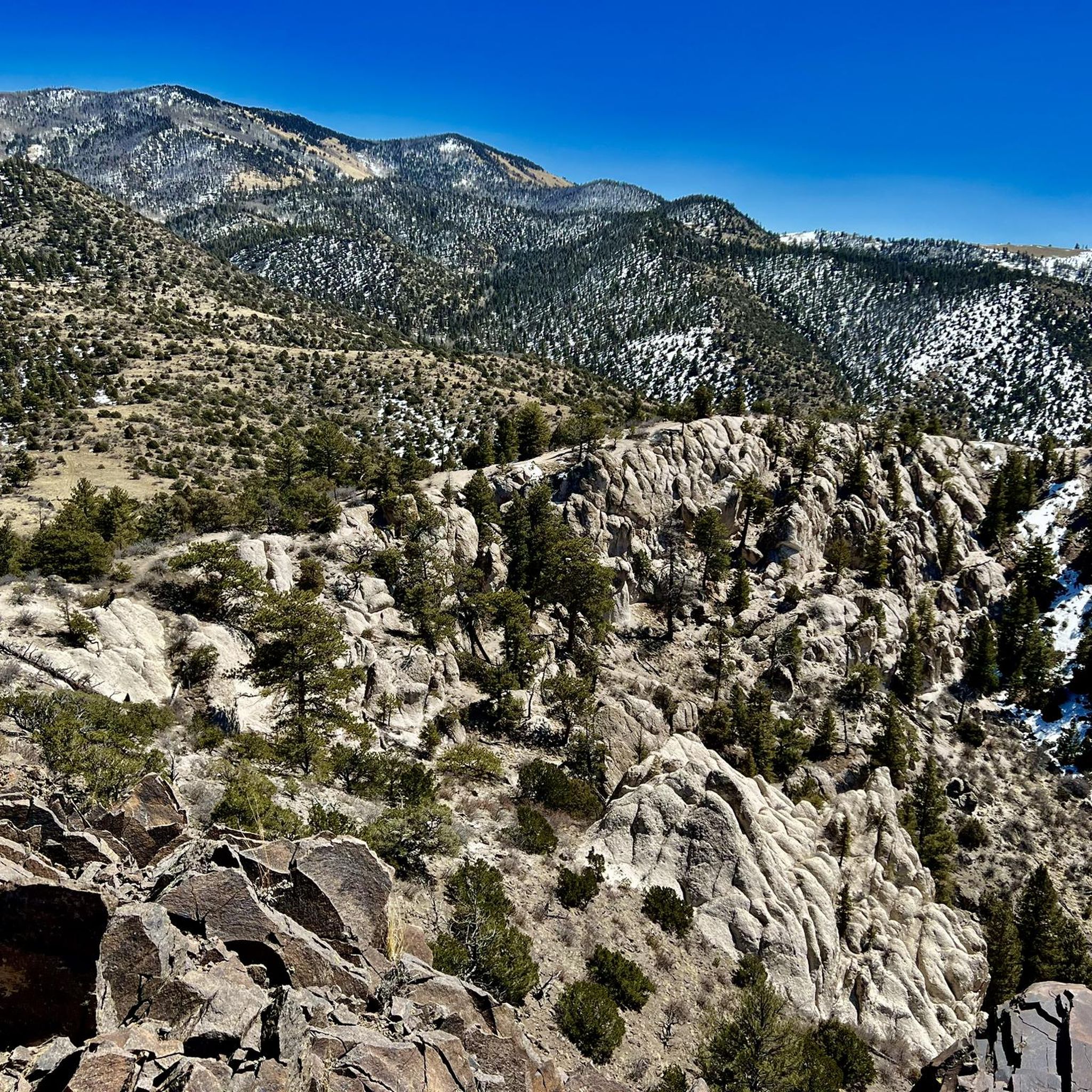
Overlook with panoramic views along the Continental Divide mountains
2
0
Frequently Asked Questions
What kind of terrain can I expect on gravel bike trails near Smeltertown?
The Smeltertown area, nestled in Chaffee County's "Heart of the Rockies," offers a diverse range of gravel biking terrain. You'll find everything from rolling ranch country roads to challenging high alpine passes. Routes often traverse pine and aspen forests, providing spectacular views, especially during fall. Expect to encounter smooth gravel sections, packed dirt roads, and some steeper, rockier inclines. The landscape also features high-desert rock formations and stunning vistas of the Collegiate Peaks and the Arkansas River.
How many gravel bike trails are available around Smeltertown?
There are several gravel biking routes around Smeltertown, offering options for various skill levels. You can find a mix of easy, moderate, and difficult trails. For instance, there are two easy routes, one moderate, and two difficult routes listed in this guide, providing a good starting point for exploration.
What is the best time of year for gravel biking in Smeltertown?
Smeltertown and the surrounding Salida area are known as Colorado's "banana belt" due to their relatively mild winters and cool summers. This makes it enjoyable for outdoor activities year-round. However, the fall is particularly spectacular when the aspen groves change color, offering breathtaking scenery. Always check local weather conditions, especially for higher alpine passes, as conditions can vary seasonally.
Are there any family-friendly gravel biking options near Smeltertown?
While many routes offer challenging climbs, there are options suitable for families or those looking for an easier ride. For example, the Railroad trail, Hillside Dr – Tenderfoot Hill loop from Salida is an easy 6-mile (9.6 km) trail that leads through local landscapes and is often completed in under an hour, making it a good choice for a more relaxed outing.
What are some notable landmarks or attractions I might see along the gravel bike trails?
Many gravel routes offer scenic views of the majestic Collegiate Peaks and the Arkansas River. You might also encounter the historic 365-foot Smeltertown Smokestack, a relic from the mining era. The nearby town of Salida itself is a highlight, with its historic downtown. For specific points of interest, consider exploring areas like North Backbone Trail or Historic Downtown Salida.
Are there any loop routes for gravel biking in Smeltertown?
Yes, several gravel biking routes in the area are designed as loops, allowing you to start and finish in the same location. Examples include the Historic Downtown Salida – North Backbone Trail loop from Salida, which is a challenging 20.4-mile (32.8 km) ride, and the Historic Downtown Salida – Tenderfoot Hill loop from Salida, a moderate 22.8-mile (36.6 km) path with scenic views.
What do other gravel bikers enjoy most about gravel biking in Smeltertown?
The area is highly rated by the komoot community, with an average score of 4.7 stars from over 6 reviews. Riders frequently praise the diverse terrain, from challenging climbs to smooth gravel sections, and the stunning natural beauty, including views of the Collegiate Peaks and the Arkansas River. The variety of routes catering to different skill levels is also a popular aspect.
Are there any advanced or difficult gravel biking routes in the area?
Yes, Smeltertown offers challenging routes for experienced gravel bikers. The region is known for its high alpine passes and significant climbs. An example of a difficult route is the Historic Downtown Salida – North Backbone Trail loop from Salida, which covers 34.8 miles (56 km) with substantial elevation gain, providing a demanding ride through varied terrain.
Can I find places to eat or drink near the gravel biking trails?
The nearby town of Salida serves as a hub for outdoor activities and offers a charming historic downtown. Here you'll find various amenities, including art galleries, restaurants, and cafes where you can refuel after your ride. Many routes start or pass close to Salida, making it convenient to access these services.
Is there public transport available to reach Smeltertown or Salida for gravel biking?
While Smeltertown itself is an unincorporated community, the larger town of Salida is the main access point for the region's outdoor activities. Public transport options directly to Smeltertown might be limited. It's generally recommended to have personal transportation to access the various trailheads and explore the wider Chaffee County area effectively.
Are there specific areas for parking when accessing gravel bike trails?
Many gravel biking routes in the Smeltertown area are accessible from Salida, where you can typically find parking. For specific trailheads, it's advisable to check individual route descriptions on komoot for details on designated parking areas. Given the region's popularity for outdoor recreation, parking is generally available near popular access points, though it can fill up during peak times.
What are the elevation gains like on gravel bike trails around Smeltertown?
Gravel bike trails around Smeltertown can feature significant elevation gains, especially on routes that traverse high alpine passes. For instance, the Historic Downtown Salida – North Backbone Trail loop from Salida includes over 2,500 feet (790 meters) of climbing. Even moderate routes like the Historic Downtown Salida – Tenderfoot Hill loop from Salida can have over 1,300 feet (400 meters) of ascent, so be prepared for varied and often challenging climbs.
Most popular attractions around Smeltertown

Get inspired with the komoot mobile app


Explore more
Browse the best Gravel rides in other regions.
