The best gravel rides around Shaw Heights
4.8
(21)
250
riders
19
rides
Gravel bike trails around Shaw Heights traverse a landscape characterized by open spaces and established trail networks. The terrain often includes a mix of paved and unpaved paths, suitable for gravel biking. Routes frequently pass by natural features such as lakes and offer views of distant peaks. The area provides varied surfaces for gravel cyclists, from smoother trails to more challenging sections.
Best gravel bike trails around Shaw Heights
- The most popular gravel bike trail is Coal Creek Trail –…
Last updated: August 23, 2026
4.6
(5)
46
riders
Moderate gravel ride. Good fitness required. Mostly paved surfaces. Suitable for all skill levels.
4.0
(1)
9
riders
23.6km
01:41
140m
140m
Easy gravel ride. Great for any fitness level. Mostly paved surfaces. Suitable for all skill levels.

Sign up for free
5.0
(1)
13
riders
66.9km
04:01
570m
570m
Hard gravel ride. Very good fitness required. Mostly paved surfaces. Suitable for all skill levels.
18
riders
Moderate gravel ride. Good fitness required. Mostly paved surfaces. Suitable for all skill levels.
6
riders
Easy gravel ride. Great for any fitness level. Mostly paved surfaces. Suitable for all skill levels.
Get access to more routes and recommendations from other explorers.
Sign up for free
Already have an account?
Our route recommendations are based on thousands of hikes, rides, and runs completed by other people on komoot.
Start today with a free account
Your next adventure awaits.
Login or Signup


Tips from the Community

Warembourg Open Space is a peaceful spot along Coal Creek and the Coal Creek Regional Trail, shaped through conservation efforts by Boulder County, Louisville, and Lafayette. Established in 1999 and 2003, it offers hikers a lovely riparian habitat with cottonwoods, wildlife, and scenic creekside views—a perfect place for an easy, immersive walk close to nature.
0
0

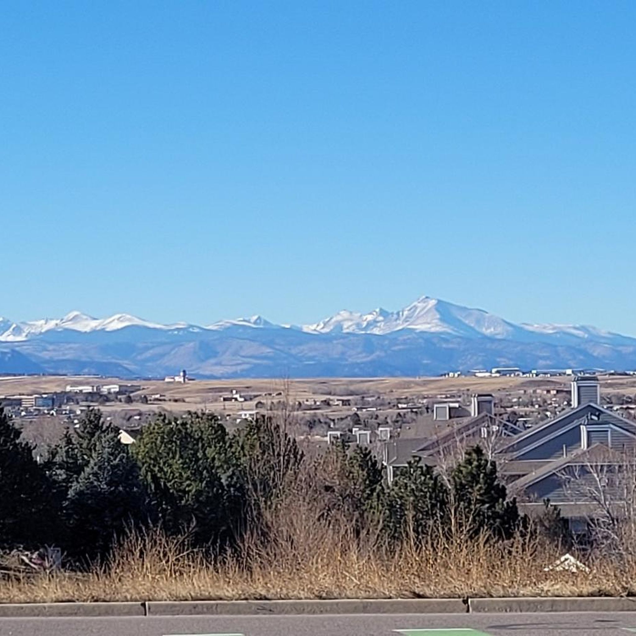
This packed dirt multi-use path runs over the rolling hills of the Ruth Roberts Preserve, linking the Lake Link and Rock Creek Trails. From here, you get panoramic views of Colorado's Front Range.
0
0
This packed dirt multi-use trail runs for nearly nine miles, from Lac Amora Open Space to McKay Lake. It links many small lakes, ponds, and streams in Broomfield, and is a great connector for other trails.
0
0


After losing their nest to a lightning strike in August, it was unclear which location the eagles would choose for their to new nest. With limited suitable nesting trees in the area—including one along the trail near their previous nest—they have now settled in a tree here, near the southern end of S. 104th St.
0
0

If you're a bird enthusiast, the Bald Eagle Viewing Hide is a must-see. It's in a quiet spot with an elevated view, so spotting eagles is way easier. The best times to go are early mornings or late afternoons when the eagles are more active. Don’t forget your binoculars and camera!
0
0

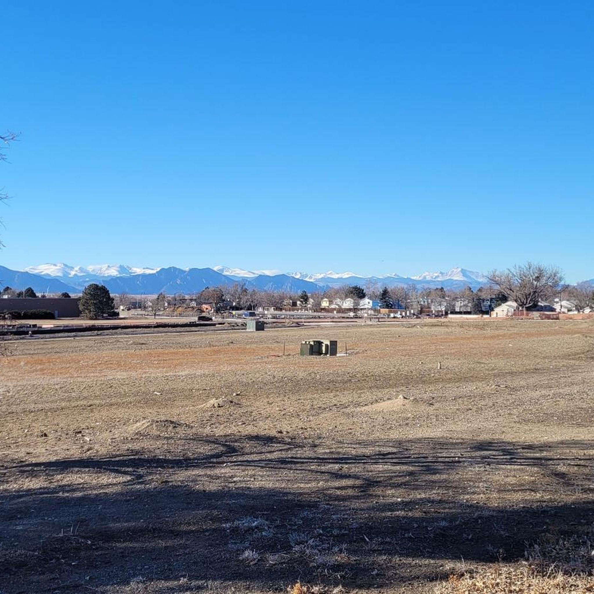
Nice park with a view of the Front Range. Also, great way to connect the Croke Canal Trail to West 66th Ave and the Ralston Creek Trail.
0
0
Frequently Asked Questions
How many gravel bike trails are available in Shaw Heights?
Shaw Heights offers a good selection of gravel biking routes, with over 15 trails to explore. These routes cater to various skill levels, from moderate to more challenging rides.
What kind of terrain can I expect on the gravel bike trails in Shaw Heights?
The gravel bike trails in Shaw Heights feature a diverse landscape, characterized by open spaces and established trail networks. You'll encounter a mix of paved and unpaved paths, offering varied surfaces suitable for gravel cycling. Many routes also provide views of distant peaks and natural features like lakes.
Are there any family-friendly gravel biking options in Shaw Heights?
Yes, Shaw Heights has routes suitable for families. For a moderate ride that's not too long, consider the Standley Lake – View of Stanley Lake loop from Standley Lake N Trailhead. It's a 14.7 km path that offers scenic views and is generally well-regarded for its accessibility.
What are some notable natural features or landmarks I can see along the gravel trails?
Many gravel routes in Shaw Heights pass by interesting natural features. You can ride past Standley Lake, explore the Lowell Ponds Wildlife Area, or follow sections of the Big Dry Creek Trail and South Platte River Trail. These offer opportunities to enjoy the local environment and observe wildlife.
What do other gravel bikers say about the trails in Shaw Heights?
The gravel biking routes in Shaw Heights are highly rated by the komoot community, with an average score of 4.8 stars from over 10 reviews. Riders often praise the varied terrain, the network of open space trails, and the scenic views, particularly those of distant peaks like Longs Peak.
Are there any challenging gravel bike routes for experienced riders?
Absolutely. For experienced riders seeking a challenge, the Greenway Trail – Meadowlark Trail loop from Jefferson Academy Elementary is a difficult 49.9 km route that takes you through established greenway and meadow areas. Another demanding option is the 65.3 km Sterns Lake – Aquarius Open Space loop from Arvada.
Are dogs allowed on the gravel bike trails in Shaw Heights?
While many open spaces and trails in the region are dog-friendly, it's always best to check specific regulations for each trail or open space you plan to visit. Look for signage at trailheads regarding leash requirements and waste disposal.
What is the best time of year to go gravel biking in Shaw Heights?
Given the varied terrain and open spaces, spring and fall generally offer the most pleasant conditions for gravel biking in Shaw Heights, with milder temperatures and beautiful scenery. Summer can be enjoyable, but be prepared for warmer weather, especially on exposed sections. Winter riding is possible, but conditions may vary with snow and ice.
Are there any circular gravel bike routes in Shaw Heights?
Yes, many of the gravel bike routes in Shaw Heights are designed as loops, allowing you to start and end at the same point. Examples include the popular Coal Creek Trail – View of Longs Peak loop from The Field Open Space and the Adler-Fingru Open Space – Aquarius Open Space loop from The Field Open Space.
Where can I park when visiting the gravel bike trails in Shaw Heights?
Many of the gravel biking routes in Shaw Heights start from open spaces or trailheads that typically offer parking facilities. For instance, routes like the Coal Creek Trail loop often begin from areas like The Field Open Space, which usually provides designated parking for trail users. Always check specific trailhead information for parking availability.
Are there any gravel routes that offer views of distant peaks?
Yes, several gravel routes in Shaw Heights are known for their scenic views, including glimpses of distant peaks. The Coal Creek Trail – View of Longs Peak loop from The Field Open Space is a prime example, offering clear views of Longs Peak on a good day.
What is the longest gravel bike route available in Shaw Heights?
For those looking for a longer ride, the Sterns Lake – Aquarius Open Space loop from Arvada is one of the longest gravel bike routes, covering approximately 65.3 km (40.6 miles) with significant elevation gain, making it a challenging and rewarding experience.
Most popular attractions around Shaw Heights

Get inspired with the komoot mobile app


Explore more
Browse the best Gravel rides in other regions.
