The best gravel rides around Lake San Marcos
3.5
(2)
86
riders
16
rides
Gravel biking around Lake San Marcos offers a diverse network of routes that combine paved and unpaved surfaces across varied terrain. The region is characterized by scenic trails, challenging climbs, and connections to significant natural features like Lake Hodges and Double Peak Park. These routes traverse a landscape that includes rolling hills, open spaces, and sections of double track, providing a comprehensive gravel riding experience.
Best gravel bike trails around Lake San Marcos
- The most popular gravel bike trail is Hodges Dam – Lake Hodges loop from Palomar College, a 57.6 miles (92.8 km) trail that takes 6 hours 35 minutes to complete. This difficult route features extensive sections around Lake Hodges, combining varied surfaces and significant elevation gain.
- Another top favourite among local gravel bikers is Lake Hodges – Coast to Crest Trail loop from Cal State San Marcos, a difficult 35.0 miles (56.3 km) path. This route connects natural features and offers expansive views across the region, often completed in about 3 hours 59 minutes.
- Local gravel bikers also love the Elfin Forest Trail – Questhaven Nature Trail loop from Hunter 1940 Parking Lot, an 18.8 miles (30.3 km) trail leading through varied natural areas, often completed in about 2 hours 47 minutes.
- Gravel biking around Lake San Marcos is defined by diverse landscapes, including sections around Lake Hodges, challenging climbs, and connections to natural preserves. The network offers options for different ability levels, from moderate to difficult routes.
- The guide includes highly-rated routes that showcase the best of the region's landscape. More than 75 gravel bikers have used komoot to explore Lake San Marcos's varied terrain.
Last updated: July 9, 2026
54
riders
99.5km
06:56
1,290m
1,290m
Hard gravel ride. Very good fitness required. Mostly paved surfaces. Suitable for all skill levels.
10
riders
56.8km
04:04
490m
490m
Hard gravel ride. Very good fitness required. Mostly paved surfaces. Suitable for all skill levels.

Sign up for free
14
riders
43.5km
03:01
650m
650m
Hard gravel ride. Very good fitness required. Mostly paved surfaces. Suitable for all skill levels.
3.0
(1)
14
riders
59.5km
04:14
800m
800m
Hard gravel ride. Very good fitness required. Mostly paved surfaces. Suitable for all skill levels.
7
riders
Hard gravel ride. Very good fitness required. Mostly paved surfaces. Suitable for all skill levels.
Get access to more routes and recommendations from other explorers.
Sign up for free
Already have an account?
Our route recommendations are based on thousands of hikes, rides, and runs completed by other people on komoot.
Start today with a free account
Your next adventure awaits.
Login or Signup

Tips from the Community

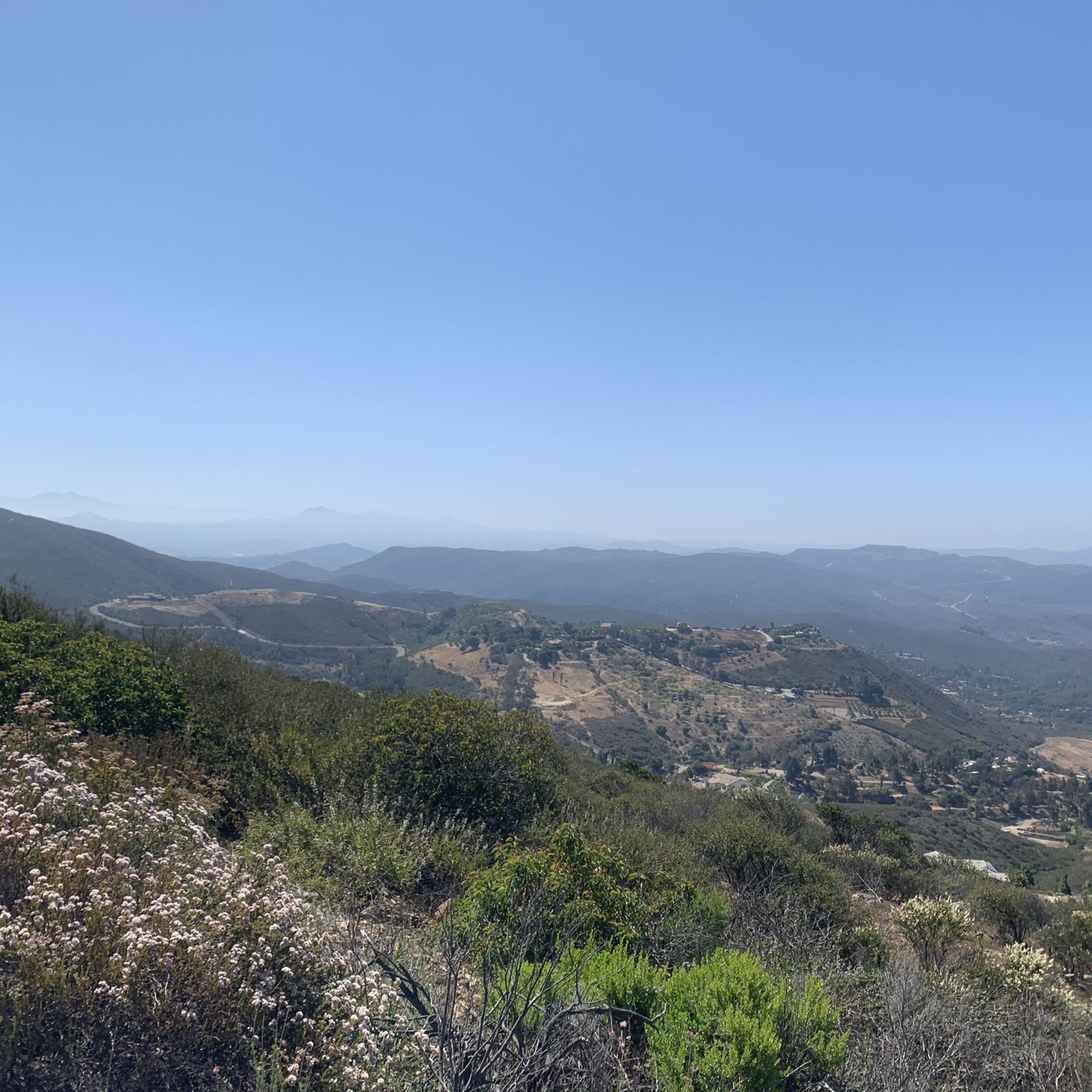
A nice lookout point over I-15. Just think of all the traffic you don't have to mess with while you're on a bike!
0
0

Lake Drive passes through the community of Del Dios and runs along Lake Hodges to the dam, offering scenic views of the lake and countryside. This road is also used as part of the Coast to Crest Trail. Hodges Dam was constructed in 1918; the reservoir is a key feature of this route. The trail is a mix of hard-packed doubletrack and some tighter singletrack near the dam, great for beginner and intermediate riders. It is popular for its ease and proximity to trailheads and rewarding views of the dam.
0
0

The Santa Fe Valley Trail is a 3.6-mile trail in the San Dieguito River Park. Parking is available at the San Dieguito River Park staging area. The trail starts near a private golf club, with a narrow single track running alongside a chain link fence. It then passes under a bridge and includes several wooden footbridges over creeks. As you continue, you get nice views of the riverbed and might see wildflowers in the spring and summer. The trail features gentle switchbacks out of the riverbed that help make the climb manageable and leads to a great view at the top. Leashed dogs are allowed, but for the safety of pets and people, be aware that rattlesnakes do live in the area. This is a popular spot for hikers, so please be respectful when riding this trail.
0
0

The David Kreitzer Lake Hodges Pedestrian Bridge is the longest stress ribbon bridge in the world and runs over the San Dieguito River/Lake Hodges. The bridge gates open at 6 a.m. and close at 9 p.m. daily.
0
0
Stop at this viewpoint for great views of the San Pasqual Valley and a possible hawk sighting!
0
0

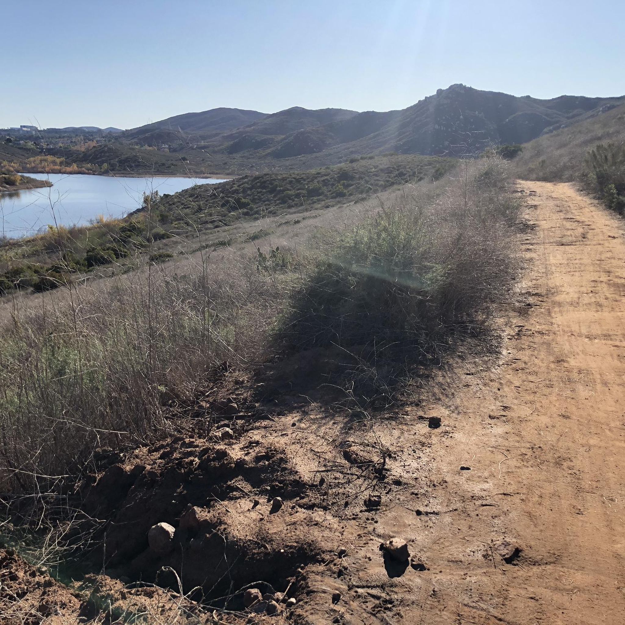
This trail is mostly flat and winds along the west bank of Lake Hodges, offering views of the water and the dam along the way.
0
0
This viewpoint gets its name from the rock wall that winds around in the shape of a snake. Here, you'll find stunning views of Lake Hodges Dam and the San Dieguito River, along with a Pipe Scope Sculpture.
0
0

This lovely reservoir has loads of nice trails around it. It is a great place for mountain biking with nice views. It is created by the damming of the San Dieguito River.
0
0
Frequently Asked Questions
How many gravel bike trails are available around Lake San Marcos?
There are over 20 gravel bike routes documented on komoot around Lake San Marcos, offering a wide range of options for different skill levels and preferences.
What is the general difficulty level of gravel biking trails in this area?
The gravel biking trails around Lake San Marcos vary significantly in difficulty. While there is one easy route, the majority of the 20 available tours are rated as moderate (5 routes) or difficult (14 routes). Expect challenging climbs and varied terrain on many of the longer loops.
Are there any family-friendly or easy gravel bike routes near Lake San Marcos?
Yes, while many routes are challenging, there is one easy gravel bike route available. For a more accessible outdoor experience, consider exploring the trails around Discovery Lake, which offers a loop trail, playground, and picnic area, though specific gravel routes there may vary.
What kind of natural features and landscapes can I expect to see on these gravel rides?
Gravel rides around Lake San Marcos offer diverse landscapes, including rolling hills, open spaces, and sections of double track. You'll encounter significant natural features like Lake Hodges, and can enjoy panoramic views from elevated points such as Double Peak Park. The region is known for its rugged beauty and varied terrain.
Are there any notable landmarks or viewpoints along the gravel bike trails?
Absolutely. Many routes offer stunning views. Double Peak Park, accessible via a two-mile trek or by driving, provides panoramic vistas of the valleys, ocean, and Rancho Santa Fe. You might also encounter scenic spots like Ridgetop Picnic Area or the beautiful San Dieguito Reservoir, which are highlights in the area.
What is the best time of year to go gravel biking around Lake San Marcos?
San Marcos benefits from near-perfect weather year-round, making gravel biking enjoyable in most seasons. However, the mild winters are particularly pleasant for riding, avoiding the hotter summer months. Always check local weather conditions before heading out.
Are there any loop routes for gravel biking in the area?
Yes, many of the gravel routes around Lake San Marcos are designed as loops, allowing for comprehensive exploration of the diverse terrain. Examples include the popular Hodges Dam – Lake Hodges Trail loop from San Elijo Hills and the Elfin Forest Trail – Questhaven Nature Trail loop from Hunter 1940 Parking Lot.
Where can I find parking for gravel bike trails near Lake San Marcos?
Parking availability varies by trailhead. For instance, the Hodges Dam – Lake Hodges loop can be accessed from Palomar College, and the Elfin Forest Trail – Questhaven Nature Trail loop starts from the Hunter 1940 Parking Lot. Always check the specific tour details on komoot for recommended starting points and parking information.
What are some of the longer gravel biking routes available?
For longer rides, consider routes like the Hodges Dam – Lake Hodges loop from Palomar College, which spans 57.6 miles (92.8 km) with significant elevation gain. Another extensive option is the Hodges Dam – Lake Hodges loop from Buena Creek Road, covering a similar distance.
What do other gravel bikers enjoy most about the Lake San Marcos area?
Gravel bikers frequently praise the diverse network of trails that combine paved and unpaved surfaces, offering a comprehensive riding experience. The challenging climbs, scenic views, and connections to natural features like Lake Hodges are often highlighted as key attractions. Many appreciate the 'gravelly, goodness fun' on sections around Lake Hodges.
Are there any specific challenging sections or climbs to be aware of?
Yes, the region is known for its challenging sections. Riders often encounter 'rollercoaster action' on double tracks and significant climbs. Raptor Ridge, for example, features a kilometer climb averaging 9%, and Lilac Hill (though paved) has pitches in the high teens. Some routes may even require pushing your bike on very steep portions.
Can I access these trails using public transport?
While specific public transport connections to every trailhead are not detailed, routes like the Lake Hodges – Coast to Crest Trail loop start from Cal State San Marcos, which may have better public transport accessibility. It's advisable to check local transit options for specific starting points.
Are there places to eat or drink near the gravel bike trails?
Lake San Marcos and the surrounding North County area offer various amenities. While specific cafes or pubs directly on the trails are not listed, you'll find options in the nearby neighborhoods and towns. It's a good idea to plan your route to pass through or near these areas for refreshment stops.
Most popular attractions around Lake San Marcos

Get inspired with the komoot mobile app


Explore more
Browse the best Gravel rides in other regions.
