The best gravel rides around East Foothills
4.0
(1)
25
riders
4
rides
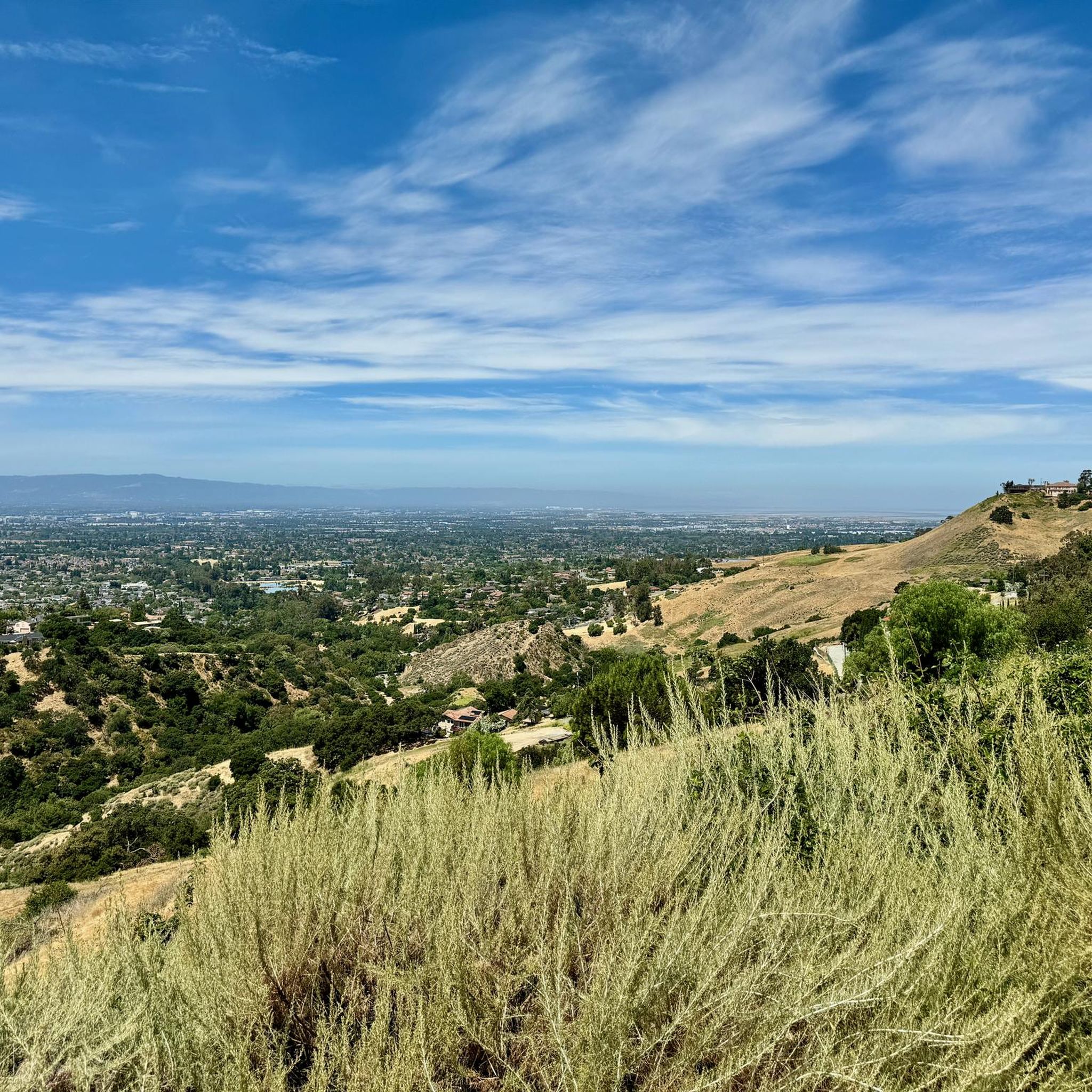
Gravel biking around East Foothills offers a diverse landscape for riders. The region features a mix of natural areas, including ponds, creeks, and river trails, alongside more developed surroundings. Terrain varies from relatively flat sections near waterways to significant climbs, with some routes gaining over 700 meters in elevation. This combination provides varied riding experiences across its trails.
Best gravel bike trails around East Foothills
- The most popular gravel bike trail is Climb with beautiful views – Piedmont Ponds loop…
Last updated: November 9, 2026
6
riders
34.7km
02:35
750m
760m
Hard gravel ride. Very good fitness required. Mostly paved surfaces.
7
riders
11.8km
00:51
160m
160m
Moderate gravel ride. Good fitness required. Mostly paved surfaces.

4.0
(1)
4
riders
40.7km
03:09
940m
940m
Hard gravel ride. Very good fitness required. Mostly paved surfaces.
3
riders
Hard gravel ride. Very good fitness required. Mostly paved surfaces.
5
riders
Moderate gravel ride. Good fitness required. Mostly paved surfaces.
Our route recommendations are based on thousands of hikes, rides, and runs completed by other people on komoot.
Start today with a free account
Your next adventure awaits.
Tips from the Community

Nestled in Fremont just north of San Jose, Old Mission San José, originally built by the Spanish in 1797, was painstakingly restored after decades of neglect. Visitors can step into history as they tour the original doors of the 1809 adobe church. Guided and self‑guided tours, the former being led by knowledgeable docents, bring the Rancho to life.
0
0

It's a great spot for enjoying nature close to the city. The park is well-known for its Penitencia Creek Trail, which stretches for about four miles. It offers a peaceful escape and a chance to connect with local wildlife and greenery.
0
0
When in season you will see a lot of beautiful oleander lining the road along this stretch.
0
0

Along the Guadalupe River you will find a conglomeration of little scenic parks. There is Columbus Park, Taylor Street Rock Garden, a rose garden, a community garden, playgrounds, running trails by the river, and more. There is an interconnected network of bike paths and roads to explore here.
0
0

Alum Rock Park, established in 1872, is one of California's oldest municipal parks, spanning 720 acres. Visitors can enjoy hiking, biking, horseback riding, and family picnicking with amenities like picnic tables, barbecue pits, restrooms, and a playground in the mid-canyon area. The park is wheelchair accessible and open daily from 8 a.m. to half an hour after sunset, a great spot to explore year-round.
0
0
Visitors to the Penitencia Creek Trail can view the water-filled Dr. Robert W. Gross Recharge Ponds. These ponds, part of a system designed to recharge underground aquifers, are crucial for maintaining healthy groundwater levels that supply nearly half of Santa Clara County's water. While the ponds support wildlife, their primary purpose is water filtration, and visitors are reminded not to introduce fish or animals into the ponds.
0
0

A nice spot with interpretive signs. The trail you're cycling on (the Guadalupe River Trail) is essentially the backbone of San Jose's still-growing trail network, running in fragments along both sides of the river and even into downtown San Jose.
0
0
Alviso Marina County Park, located along Alviso Slough, serves as the gateway to the Don Edwards San Francisco Bay National Wildlife Refuge. This 20.6-acre park offers opertunities for hiking, biking, bird watching, and kayaking, with scenic views of the surrounding mountains and wildlife. Visitors can explore the park's boardwalks, picnic areas, and boat launch, which has access to San Francisco Bay. The park is part of the San Francisco Bay Area Water Trail and is ADA-compliant, ensuring accessibility for all visitors.
0
0
Frequently Asked Questions
How many gravel bike trails are available in East Foothills?
The East Foothills region offers several gravel biking routes, with 5 distinct tours currently available on komoot. These routes cater to various skill levels, from moderate to difficult.
Are there any easy or beginner-friendly gravel routes in East Foothills?
While the East Foothills routes tend to be moderate to difficult, the Piedmont Ponds – Upper Penitencia Creek loop from Berryessa is a moderate option, covering 11.8 km with less significant elevation changes compared to other routes. It's a good choice for those looking for a less strenuous ride.
What are the options for advanced gravel bikers looking for a challenge?
For experienced gravel bikers seeking a challenge, the Oleander Along Evans Road – Ohlone College loop from Milpitas is a difficult route with over 900 meters of elevation gain. Another demanding option is the Climb with beautiful views – Piedmont Ponds loop from Berryessa, featuring significant climbs and scenic vistas.
Are there any loop trails for gravel biking in East Foothills?
Yes, many of the gravel routes in East Foothills are designed as loops. For instance, the Moffett Federal Airfield – Stevens Creek bridge loop from San Jose Diridon offers a 52.5 km circular ride through varied terrain. Another option is the Guadalupe River Trail – Guadalupe River Trail loop from San Jose Diridon, which follows the river.
What kind of natural features or attractions can I expect to see along the gravel bike trails?
The East Foothills region is characterized by a mix of natural areas. Along the trails, you can encounter ponds, creeks, and river trails. Notable natural highlights include the Piedmont Ponds and the Penitencia (Gross) Ponds. You might also pass through areas like Alum Rock Park.
Are there any specific viewpoints or scenic spots along the gravel routes?
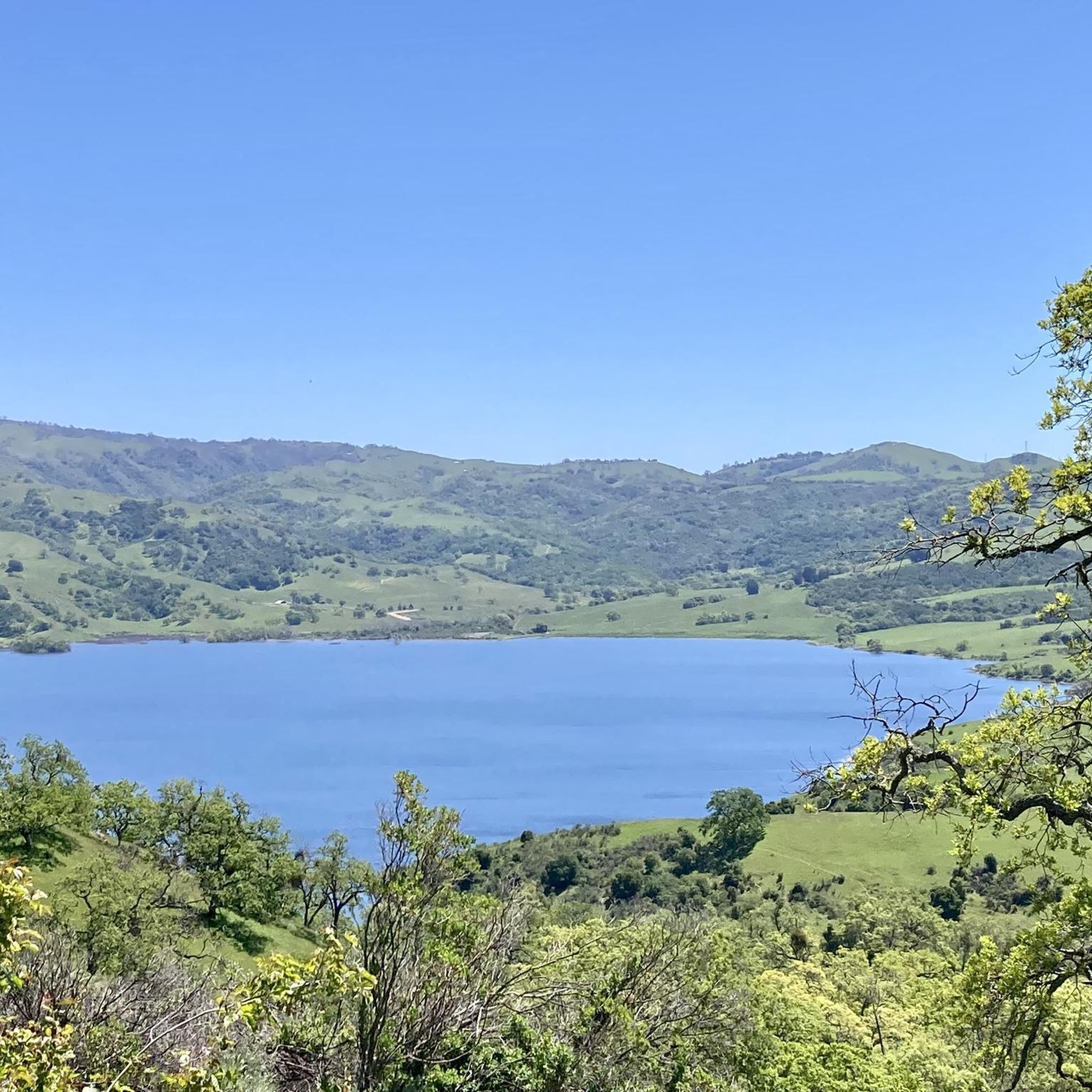
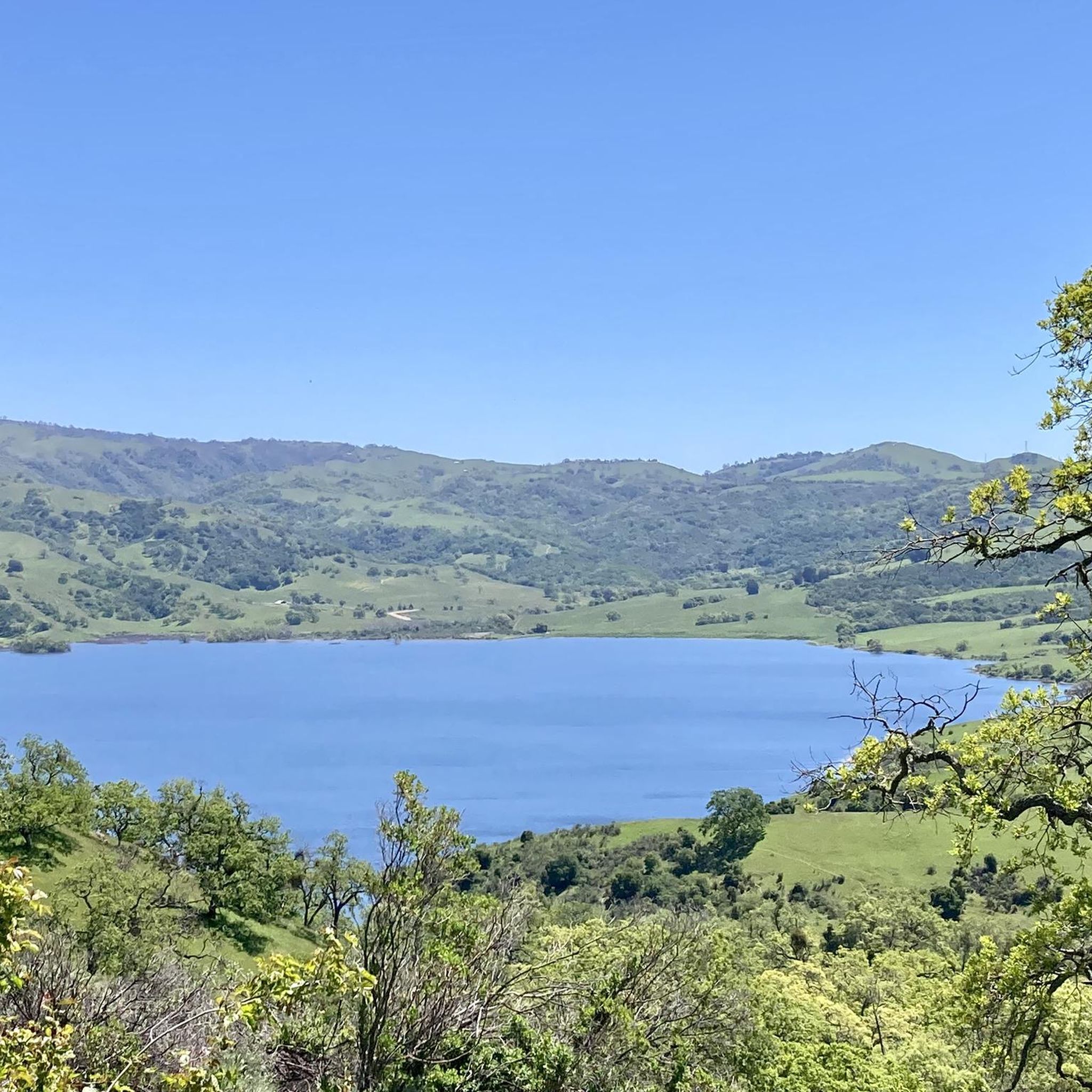
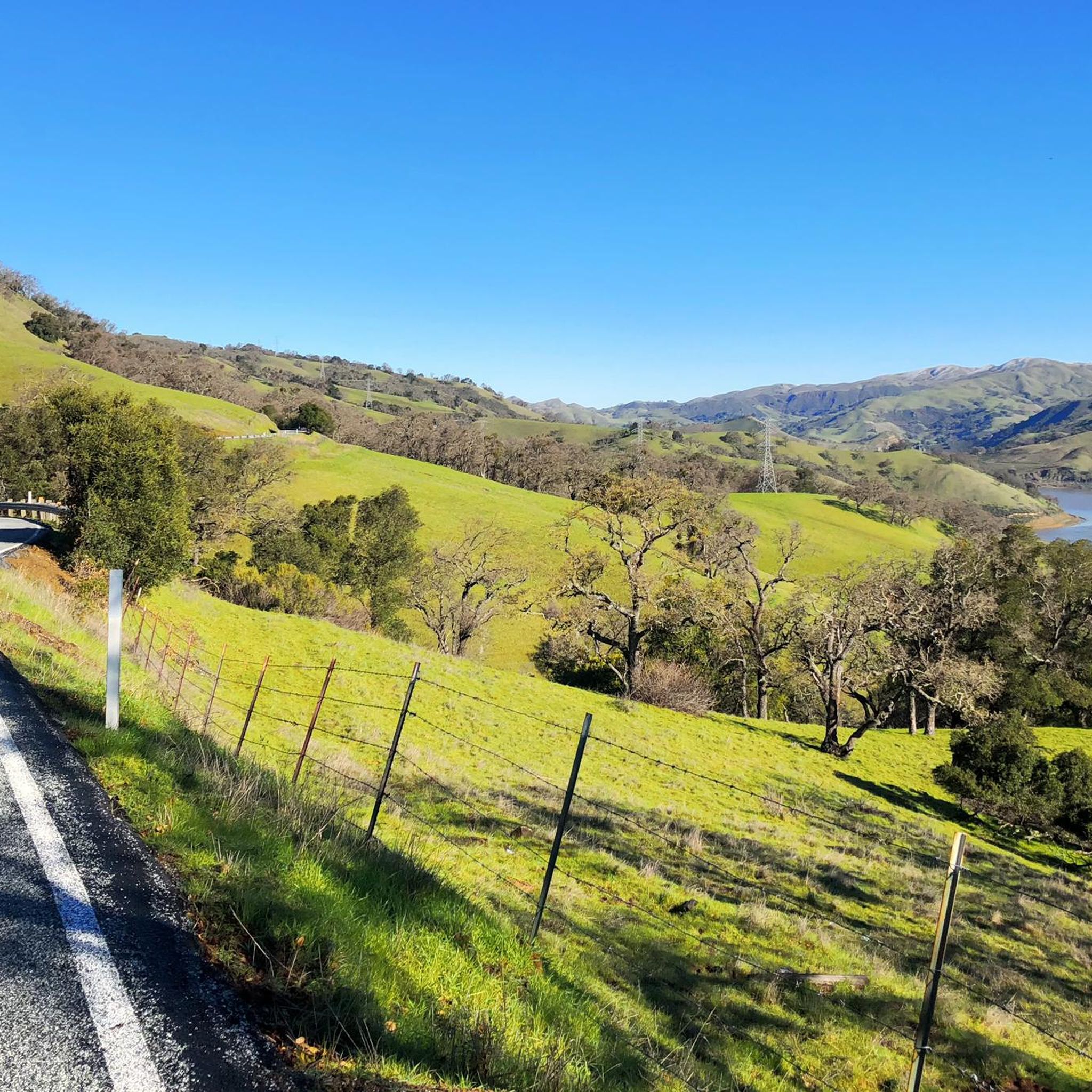
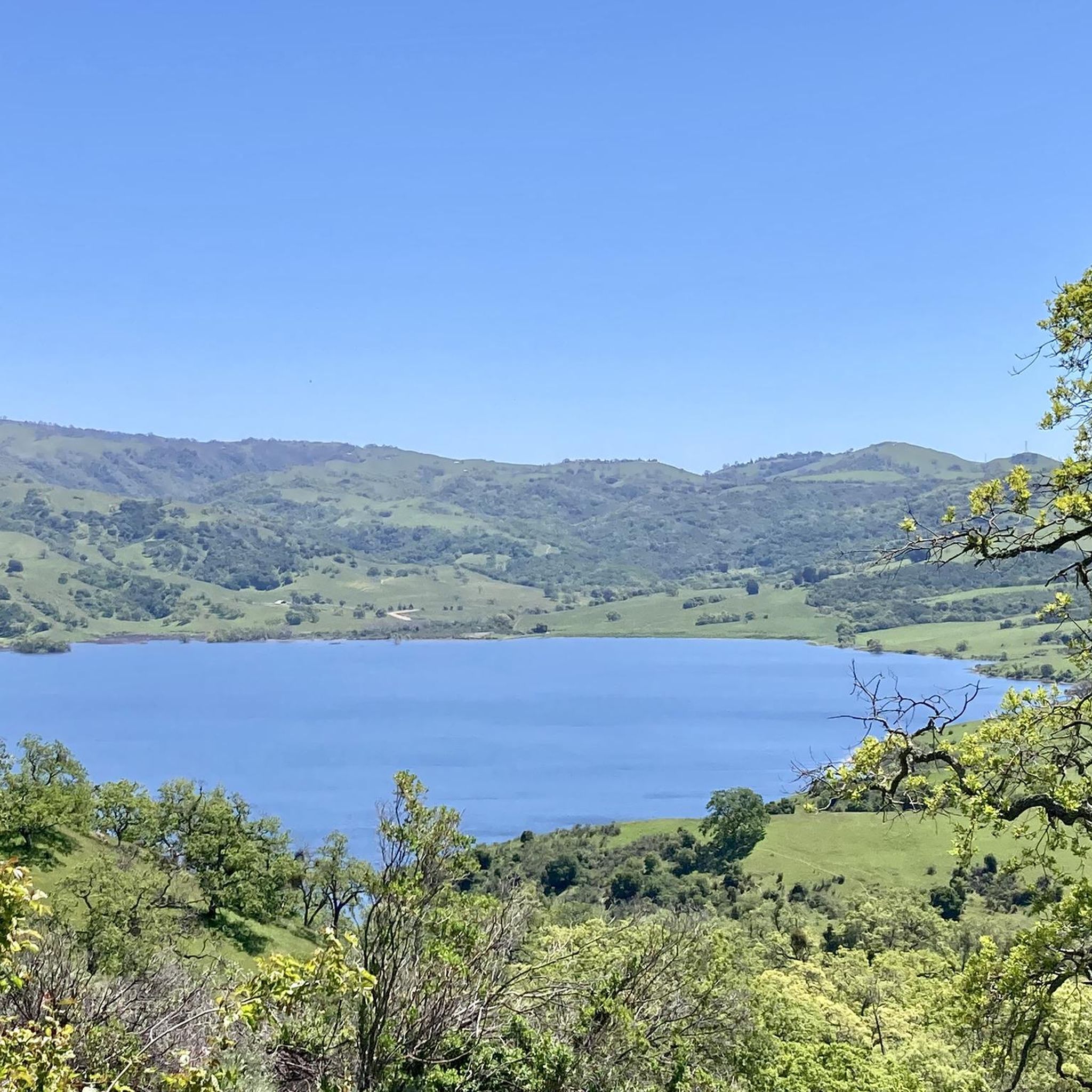
Many routes offer scenic views, especially those with significant elevation. The Climb with beautiful views – Piedmont Ponds loop from Berryessa is specifically highlighted for its beautiful vistas. Additionally, the Calaveras Reservoir Scenic Segment is a notable highlight in the area that offers picturesque views.
What is the best time of year for gravel biking in East Foothills?
The East Foothills generally offer pleasant conditions for gravel biking for much of the year. Spring and fall typically provide mild temperatures and beautiful scenery. While specific winter conditions can vary, it's always advisable to check local weather forecasts before heading out, especially after heavy rains which might affect trail surfaces.
What do other gravel bikers say about the trails in East Foothills?
The gravel biking routes in East Foothills are highly regarded by the komoot community, holding an average rating of 4.0 stars. Riders often appreciate the diverse landscape, which includes a mix of natural areas like ponds and creeks, alongside challenging climbs and varied terrain.
Are there any family-friendly gravel biking options in East Foothills?
For families, routes with moderate elevation changes and well-maintained paths are ideal. The Piedmont Ponds – Upper Penitencia Creek loop from Berryessa, at 11.8 km with moderate difficulty, could be a suitable option for families looking for a less demanding ride through natural areas.
Where can I find parking for gravel biking in East Foothills?
Many routes start from accessible points, often near urban centers or parks. For example, tours originating 'from Berryessa' or 'from San Jose Diridon' typically have parking available in those areas. It's recommended to check the specific tour details on komoot for parking information at the trailhead you plan to use.
Are there any historical or cultural landmarks along the gravel trails?
While the focus is on natural landscapes, you might encounter interesting points of interest. For example, the Lupe the Mammoth monument is a unique landmark in the vicinity. The Guadalupe River Trail, Park & Gardens also offers a blend of nature and developed park areas.
Are the gravel trails in East Foothills suitable for dogs?
Many natural parks and trails in the East Foothills region allow dogs, often requiring them to be on a leash. However, specific regulations can vary by park or trail segment. It's best to check the rules for individual trails or parks like Alum Rock Park or the Guadalupe River Trail before bringing your dog.
Most popular attractions around East Foothills

Get inspired with the komoot mobile app


Explore more
Browse the best Gravel rides in other regions.
