The best gravel rides around Coto De Caza
43
riders
12
rides
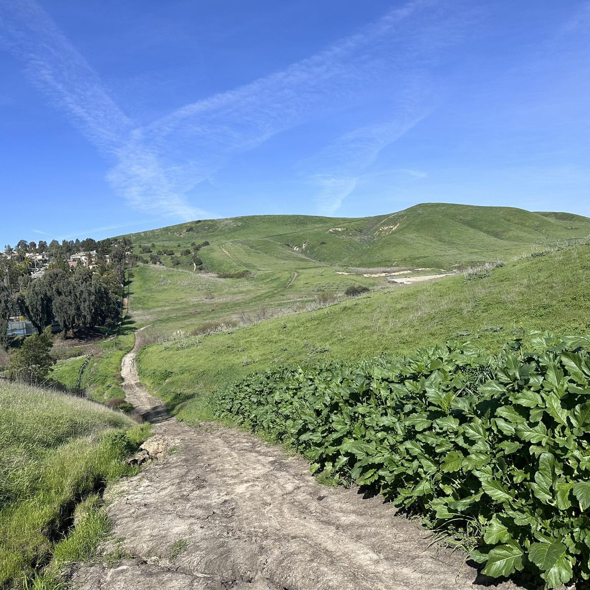
Gravel biking around Coto De Caza offers an extensive network of trails through Southern California's coastal hills. The region is characterized by rolling hills, lush canyons, and majestic oak groves, providing varied terrain for gravel cyclists. Over 40 miles of trails wind through diverse biotic communities, including southern oak woodland, riparian areas, and chaparral. This landscape, with its significant proportion of unpaved surfaces, is ideal for gravel biking.
Best gravel bike trails around Coto De Caza
- The most popular gravel…
Last updated: July 9, 2026
17
riders
Moderate gravel ride. Good fitness required. Mostly paved surfaces. Suitable for all skill levels.
5
riders
28.8km
01:57
460m
460m
Hard gravel ride. Very good fitness required. Mostly paved surfaces. Suitable for all skill levels.

Sign up for free
9
riders
69.9km
05:27
1,630m
1,630m
Hard gravel ride. Very good fitness required. Mostly paved surfaces. Suitable for all skill levels.
6
riders
39.1km
02:47
550m
550m
Hard gravel ride. Very good fitness required. Mostly paved surfaces. Suitable for all skill levels.
6
riders
Hard gravel ride. Very good fitness required. Mostly paved surfaces. Suitable for all skill levels.
Get access to more routes and recommendations from other explorers.
Sign up for free
Already have an account?
Our route recommendations are based on thousands of hikes, rides, and runs completed by other people on komoot.
Start today with a free account
Your next adventure awaits.
Login or Signup
Tips from the Community

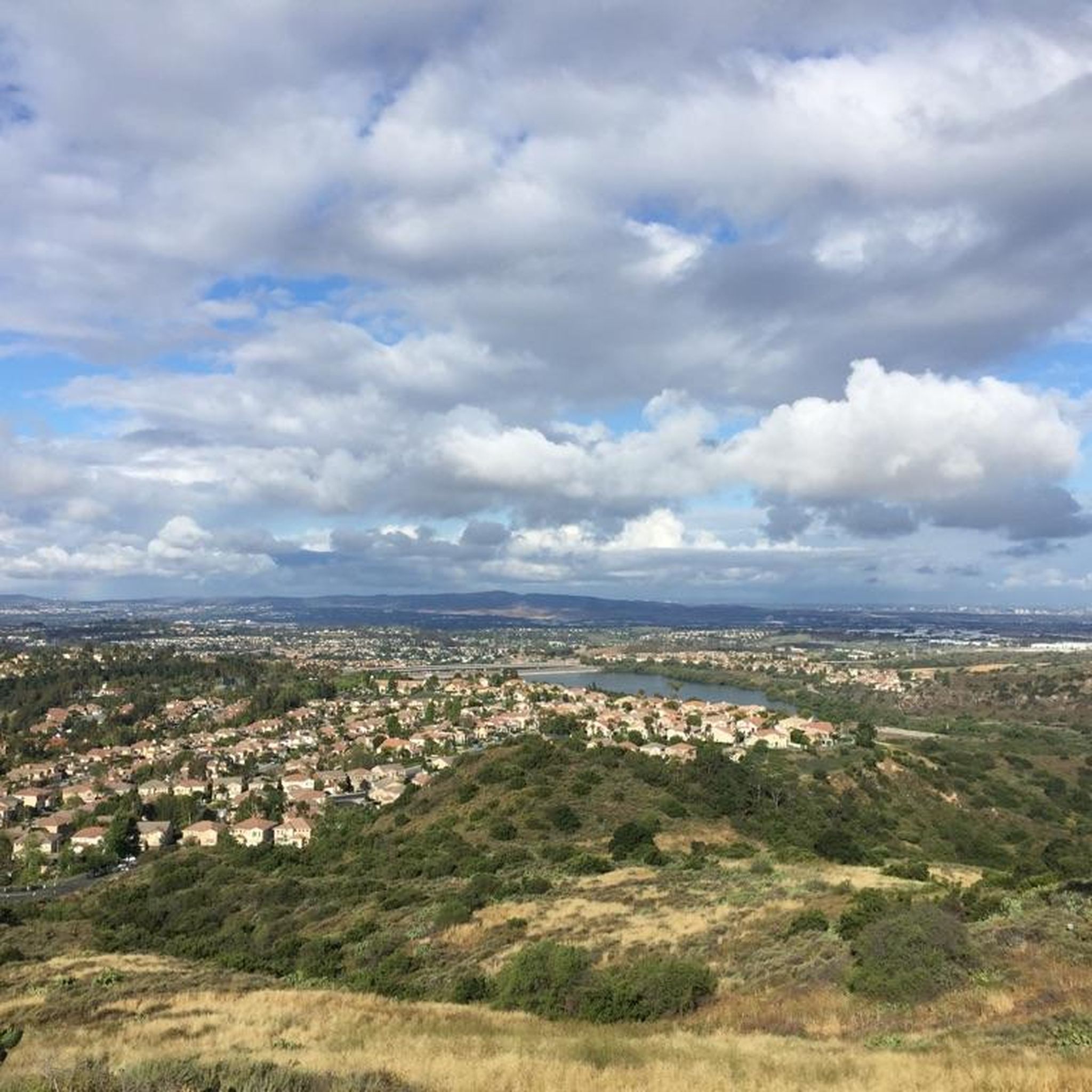
You can explore a variety of singletrack and wide gravel paths through the park. Some trails are shaded while others take you out above the canyon with vistas of Orange County. There are restrooms, picnic tables, and camping available. The park charges a $3 fee.
0
0

The Arroyo Trabuco Trail crosses the Trabuco Creek here (and a good number of times along the route). Depending on the season and conditions, you may well find that bombing through is not an option, so just be prepared for some wet feet.
0
0

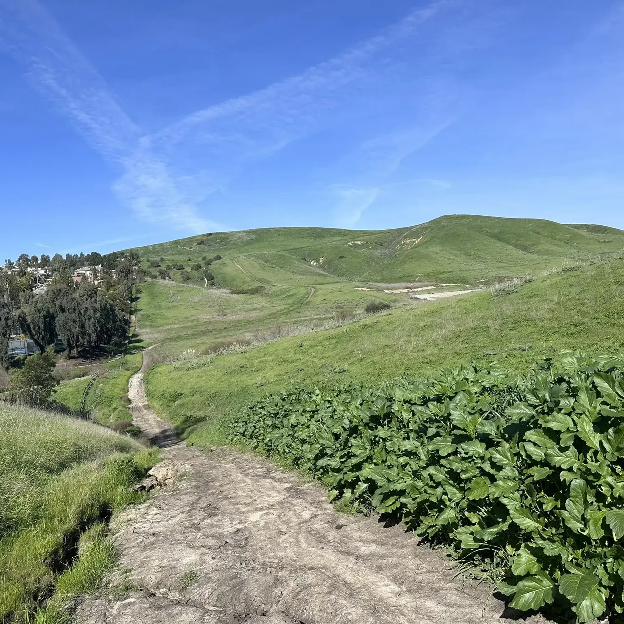
The Mathis Canyon Trail is a tough climb in the Aliso and Wood Canyons Wilderness Park. There are a couple rolling sections to catch your breath, but be prepared for a tough (but fun) ride.
1
0

Santiago Canyon Road is a scenic favorite for road cyclists in Orange County. It’s a long, winding stretch with rolling hills, light traffic, and wide shoulders in most parts. The views of open hills and oak trees make the climb worth it, and you’ll find classic stops along the way for a break.
0
0
Cook’s Corner is a classic stop for cyclists riding through Santiago Canyon and one of the most popular biker hangouts in Southern California. It’s casual and bike-friendly, with shaded picnic tables and plenty of space to park. Grab a burger or a cold drink, rest your legs, and soak in the lively atmosphere—especially on weekends when it’s packed with motorcycles and live music.
0
0
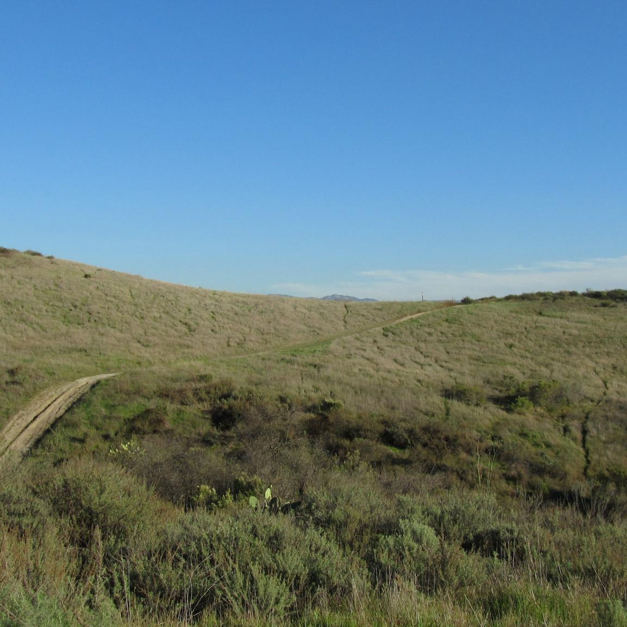
The trail here is easy, flat, packed dirt along the neighborhood creek with ample shade. This is a great local trail and is relatively lightly trafficked. There is no parking at the western trailhead.
0
0
Santiago Canyon Road is a great option for a ride with rolling hills and great views. As you get to the top of each hill, you are treated with a great view of the valley you just climbed out of.
0
0

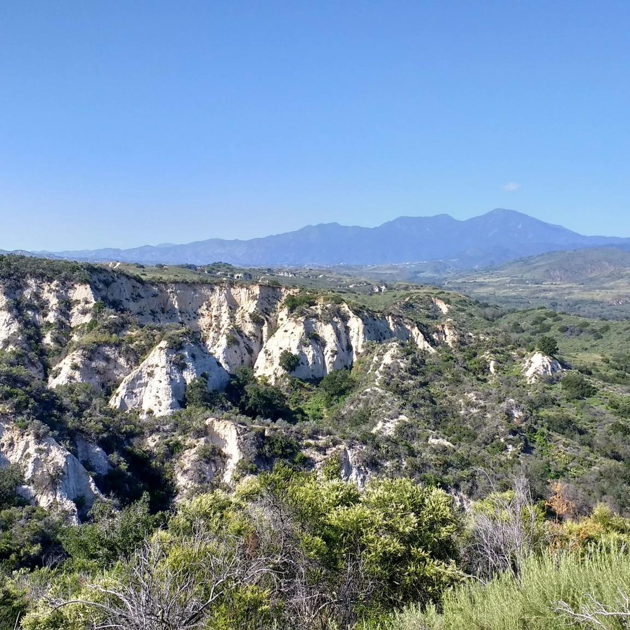
Whiting Ranch Wilderness Park is a 2,500-acre park in southern Orange County. The park offers 17 miles of graded roads and single track through woodland canyons, rolling grassland hills, and red rock formations.
0
0
Frequently Asked Questions
What kind of terrain can I expect on gravel bike trails around Coto De Caza?
Gravel biking around Coto De Caza offers a diverse landscape of rolling hills, lush canyons, and majestic oak groves. You'll find an extensive network of trails, many with significant unpaved surfaces, winding through southern oak woodland, riparian areas, native grasslands, and chaparral. This varied terrain provides both scenic beauty and engaging challenges for gravel cyclists.
How many gravel bike trails are available in the Coto De Caza area?
There are around 14 gravel bike routes available in the Coto De Caza area, ranging from moderate to difficult. These trails offer a variety of distances and elevation gains, ensuring options for different skill levels.
Are there any challenging gravel bike routes for experienced riders?
Yes, Coto De Caza offers several challenging routes for experienced gravel bikers. For instance, the Wood Canyon Trail – Shady Canyon Trail loop from Laguna Niguel/Mission Viejo is a difficult 67.2 km ride with over 1200 meters of elevation gain. Another demanding option is the Whiting Ranch Trailhead – Whiting Ranch viewpoint loop from Laguna Hills, which covers 39.1 km with over 550 meters of ascent.
What are some moderate gravel biking options in Coto De Caza?
For a moderate challenge, consider the Waterworks Flow Trail – Trabuco Creek loop from Santa Margarita Catholic High School, which is 29.8 km long with about 330 meters of elevation gain. Another good choice is the Serrano Creek Trail – Serrano Creek Trail loop from Laguna Hills, a 32.0 km route with around 280 meters of climbing.
What natural features or wildlife might I encounter on the trails?
As you explore the gravel trails, you'll ride through diverse biotic communities including southern oak woodlands, riparian areas, and chaparral. The region is home to wildlife such as majestic deer, soaring hawks, and playful squirrels. You might also encounter sycamore trees and various plant species, especially within areas like Thomas F. Riley Wilderness Park.
Are there any interesting landmarks or attractions near the gravel bike trails?
Yes, there are several points of interest nearby. You could visit the historic Mission San Juan Capistrano. For natural beauty, explore O'Neill Regional Park or the unique geological formations at Red Rock Trail — Whiting Ranch Wilderness Park and Red Rock Canyon. If you're looking for a scenic viewpoint, Santiago Peak offers panoramic views.
Is there a waterfall I can visit while gravel biking in the area?
Yes, you can find Holy Jim Falls in the vicinity of Coto De Caza. It's a notable natural feature that can be a rewarding stop during your gravel biking adventure.
What do other gravel bikers say about the trails in Coto De Caza?
The gravel biking routes around Coto De Caza are highly regarded by the komoot community, with an average rating of 4.0 stars. Riders often praise the extensive network of trails, the varied terrain, and the beautiful natural surroundings that make for an immersive outdoor experience.
Are there any specific parks or wilderness areas connected to the Coto De Caza trail system?
Coto De Caza's trail system connects to broader regional networks and borders significant natural reserves. Thomas F. Riley Wilderness Park, a 548.3-acre park with 5 miles of multi-use trails, is directly adjacent. The area is also close to larger natural expanses like the Cleveland National Forest and Ronald W. Caspers Wilderness Park, offering vast opportunities for exploration.
Are there any loop trails for gravel biking in Coto De Caza?
Many of the gravel bike routes in Coto De Caza are designed as loops, allowing you to start and finish at the same point. Examples include the Waterworks Flow Trail – Trabuco Creek loop from Santa Margarita Catholic High School and the Mathis Canyon Trail – Aliso Creek Trail loop from Laguna Hills, providing convenient circular journeys.
Where can I find food or drinks after a ride in Coto De Caza?
After your ride, you might consider visiting Cook's Corner, a well-known local spot that serves as a pub and gathering place, offering a chance to relax and refuel.
Most popular attractions around Coto De Caza

Get inspired with the komoot mobile app


Explore more
Browse the best Gravel rides in other regions.
