The best gravel rides around Aptos
4.0
(2)
65
riders
7
rides
Gravel biking around Aptos features diverse terrain where coastal areas meet redwood forests and canyons. The region is characterized by significant elevation changes, with trails winding through dense second and third-growth redwood forests and along serene creek-side paths. Many routes utilize old logging roads, offering a mix of gentle grades and steeper sections, providing varied experiences for gravel cyclists.
Best gravel bike trails around Aptos
- The most popular gravel bike trail is Aptos Creek Fire Road Loop, a 35.7 miles (57.4 km) trail that takes 6 hours 23 minutes to complete. This difficult route climbs through redwood forests, offering a challenging experience.
- Another top favourite among local gravel bikers is Hihn's Mill and Ridge Trail Loop, a moderate 10.3 miles (16.6 km) path. This route winds through scenic redwood forests, providing a balanced ride.
- Local gravel bikers also love the Wilder Beach Natural Preserve – Needle Rock loop from Beach Station (Santa Cruz), a 19.7 miles (31.7 km) trail leading through coastal areas and natural preserves, often completed in about 2 hours 9 minutes.
- Gravel biking around Aptos is defined by majestic redwood forests, scenic coastal views, and varied terrain from old logging roads to fire roads. The network offers options for different ability levels, from moderate rides to more difficult climbs.
- The routes in Aptos are highly rated by the komoot community with an average score of 4.9 stars from a small number of reviews. Nearly 100 gravel bikers have used komoot to explore Aptos's varied terrain.
Last updated: November 11, 2026
5.0
(1)
13
riders
57.4km
06:24
1,350m
1,350m
Embark on the Aptos Creek Fire Road Loop, a difficult gravel biking adventure that takes you through diverse landscapes. You will cover 35.7 miles (57.4 km) and climb a substantial 4437 feet (1352 metres) in elevation, typically taking around 6 hours and 23 minutes to complete. The route begins with gentle rollers past olive farms and vineyards before ascending into the majestic redwood forests of The Forest of Nisene Marks State Park, offering a rewarding challenge for experienced riders.
Planning your visit requires good to very good fitness due to the significant elevation gain and steep inclines, with some sections exceeding a 10% grade. While parts of the Aptos Creek Fire Road itself can help build stamina for beginners, the entire loop is considered a hard gravel ride demanding advanced riding skills. Be prepared for a long day in the saddle and ensure your bike is in excellent condition for the varied terrain.
This challenging loop offers more than just a workout; as you gain elevation, the scenery transitions to oak trees, and you might catch views of Aptos and the Pacific Ocean from overlooks like the Santa Rosalia Viewpoint. The long descent follows the path of a former logging railroad, providing a shaded and historically rich journey back. It's a route that combines natural beauty with a glimpse into the region's past.
3.0
(1)
3
riders
16.6km
01:51
420m
430m
The Hihn's Mill and Ridge Trail Loop offers a moderate gravel biking experience through the lush Soquel Demonstration State Forest. You will navigate a varied landscape, from scenic dirt and gravel climbs on Hihn's Mill Road to potentially technical singletrack sections on the Ridge Trail. This route covers 10.3 miles (16.6 km) with a total elevation gain of 1392 feet (424 metres), typically taking around 1 hour and 51 minutes to complete. Keep an eye out for glimpses of surrounding ridges and consider a stop at the Santa Rosalia Viewpoint for expansive vistas.
When planning your visit, remember that this route is situated within the popular Soquel Demonstration State Forest. Hihn's Mill Road serves as a crucial access point and return route for many trails in the area. Parking is generally available, but it is always wise to check local regulations before you arrive to ensure a smooth start to your ride. This forest is a favored spot for outdoor activities, so an early start can help you avoid crowds.
This loop provides a unique opportunity to explore a forest characterized by tall redwood trees and dappled sunlight filtering through the canopy. The combination of Hihn's Mill Road and the Ridge Trail offers a dynamic ride, blending smoother sections with more challenging terrain. The Soquel Demonstration State Forest is a significant natural area, making this route a great way to experience its diverse environment and extensive trail network.

23
riders
46.0km
03:07
560m
560m
Hard gravel ride. Very good fitness required. Mostly paved surfaces.
11
riders
Moderate gravel ride. Good fitness required. Mostly paved surfaces.
4
riders
Moderate gravel ride. Good fitness required. Mostly paved surfaces.
Get access to more routes and recommendations from other explorers.
Already have an account?
Our route recommendations are based on thousands of hikes, rides, and runs completed by other people on komoot.
Start today with a free account
Your next adventure awaits.
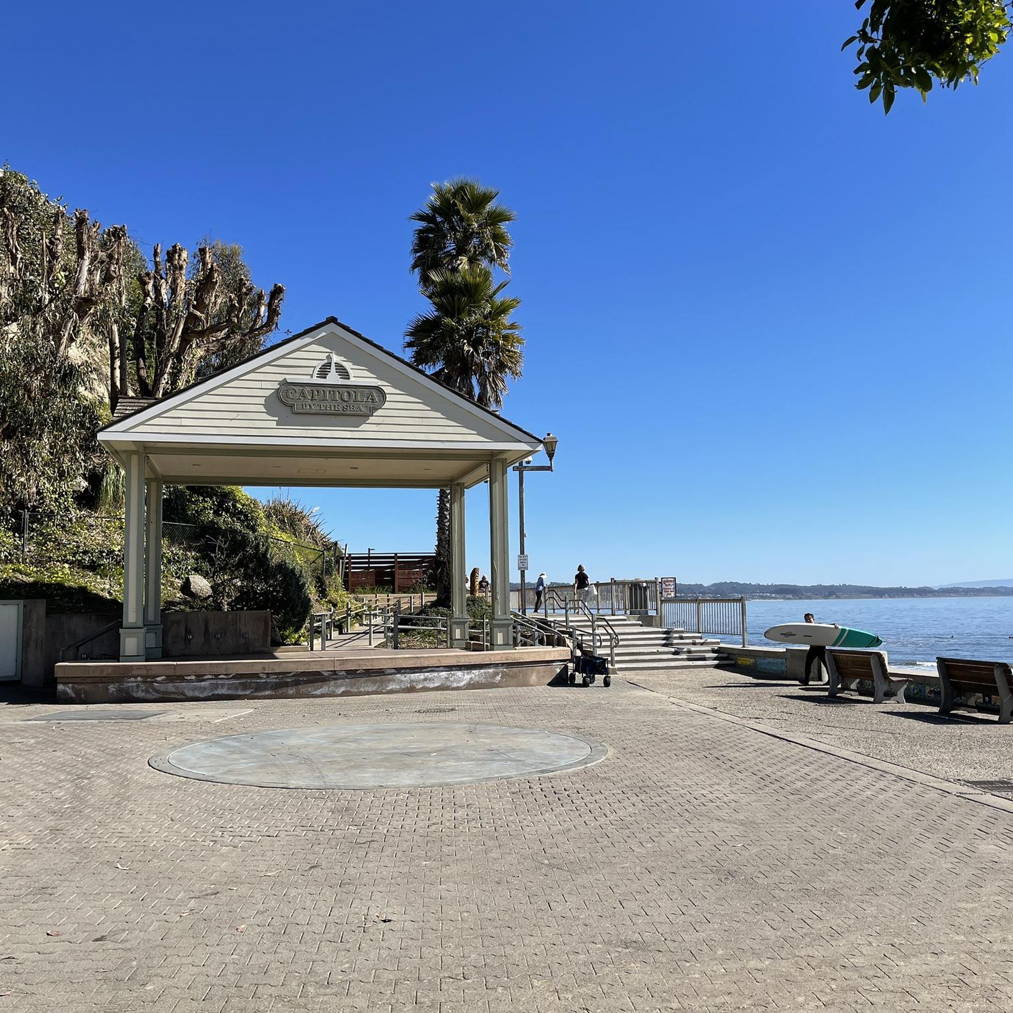
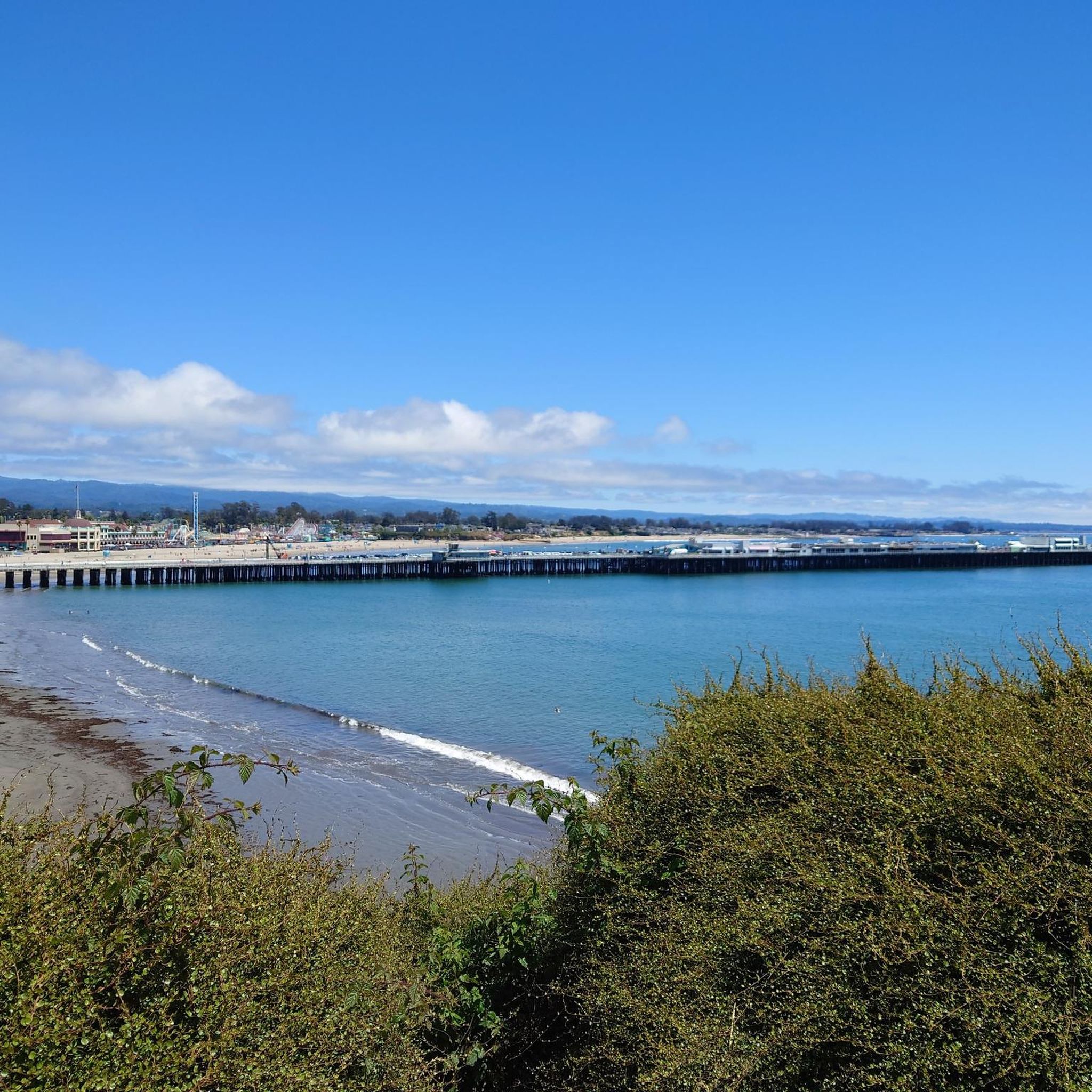
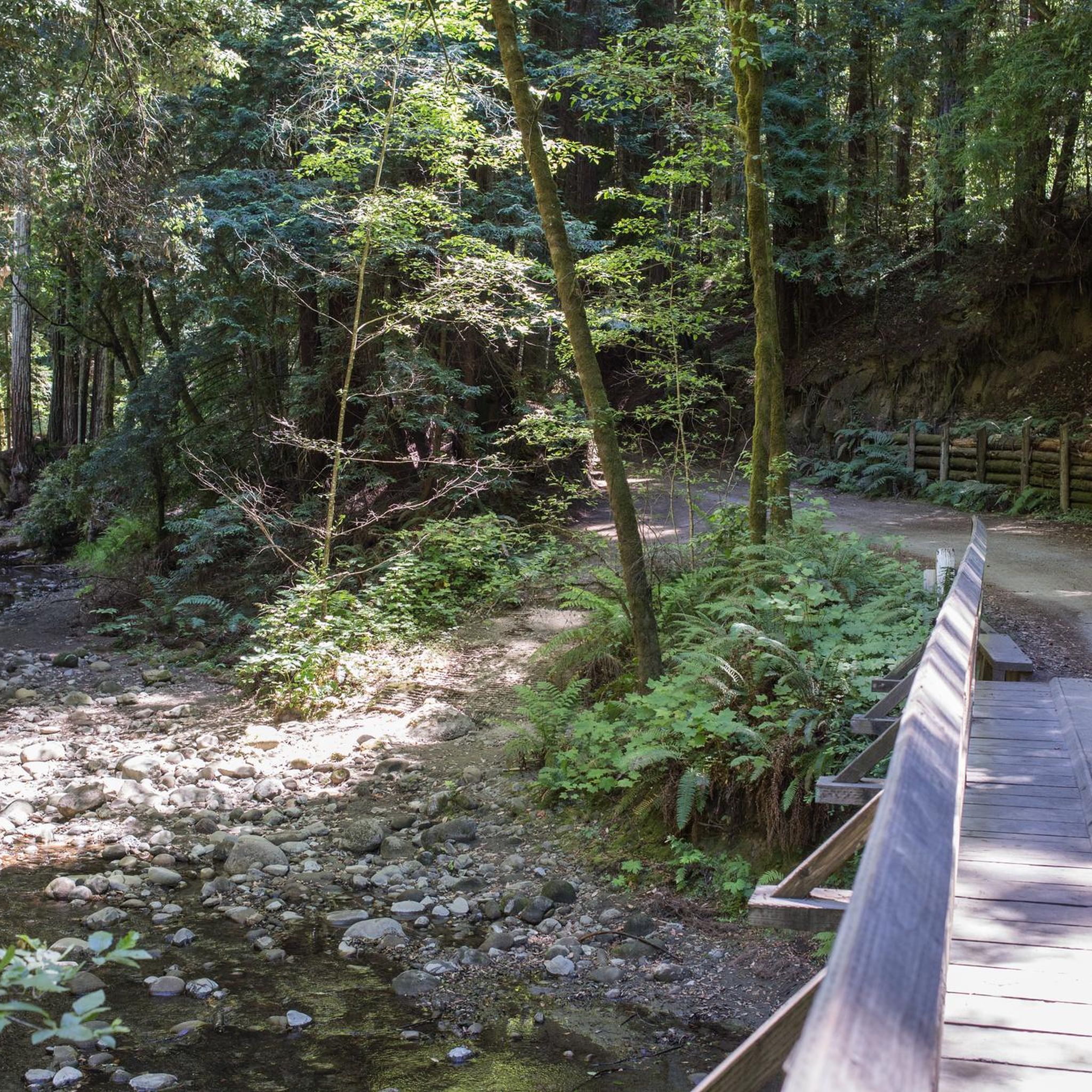

Tips from the Community

Nice little lookout point well off the beaten parh.
0
0
What's special about this path is that it takes you from Santa Cruz to the Wilder Ranch Park without using Route 1. Once there, you have multiple dirt path choices to ride around up into the park.
0
0

While there are more formal memorials to the sport of surfing a little ways south at the Lighthouse and north at the official Surfer Memorial Sculpture, this spot is more personal. Here along West Cliff Drive is the famous surfing spot known as Steamer Lane. For all its fame and pleasure, surf conditions, accidents and bad luck exact a fatal toll. An informal memorial up on the cliff remembers surfers who have died.-It's next to a staircase leading down to the beach. The wooden plaques are all custom, hand-routed tributes by friends or family. The carved messages, lacking biographical details (because they are well-known locals?) are sometimes adorned with flower arrangements and small keepsakes along the fence. While these memorials of surfer deaths are also sad, there is a somewhat relaxed atmosphere at this spot. The surfers were doing what they loved, and knew the risks.
1
0

Stunning Natural Bridge Beach is known for its natural arches made of fine clay or mud rock, carved by time, water, and wind. The beach is also known for being home to a colony of monarch butterflies, with over 150,000 coming to live here for the winter. If you're lucky, you might even spot whales!
0
0

Hihn's Mill Road serves as an access point for most of the rides in the area. It's right by the parking lot some most of the time you'll be starting or ending your ride along this stretch of double track.
0
0

The Santa Cruz Riverwalk runs along the San Lorenzo River levee from the Highway 1 Bridge to the Santa Cruz Beach Boardwalk, providing easy access to downtown Santa Cruz.
0
0

In the summer of 1885, three young Hawaiian princes ignited the California coast's surfing phenomenon by introducing their boards and the ancient Hawaiian sport to the American mainland. A commemorative plaque near the former lighthouse, now home to a quaint surfing museum, immortalizes this significant moment in history.
0
0
The surfer statue along West Cliff Drive is a landmark of Santa Cruz. The statue stands at 18 feet tall and was inspired by members of the 1936 Santa Cruz Surfing Club.
0
0
Frequently Asked Questions
How many gravel bike trails can I find around Aptos?
Aptos offers a diverse network of 9 gravel bike trails, catering to various skill levels. These routes traverse majestic redwood forests, serene creek-side paths, and scenic coastal areas, providing a rich outdoor experience.
What kind of terrain can I expect on Aptos gravel bike trails?
The terrain around Aptos is quite varied, ranging from dense redwood forests to coastal paths. Many routes utilize old logging roads, which can offer a mix of gentle grades and steeper sections with switchbacks. You'll encounter significant elevation changes as trails rise from near sea level to over 2,600 feet in the coastal mountains, providing both challenging climbs and enjoyable descents.
Are there any beginner-friendly or family-friendly gravel bike trails in Aptos?
Yes, while some routes are challenging, there are options suitable for beginners and families. The main legal dirt trail for bikes in The Forest of Nisene Marks State Park, Aptos Creek Road, starts with a mix of pavement and gravel and transitions into a dirt road. Much of this road follows an old logging railroad grade, providing a generally gentle and easy ride, though some sections can be steeper. For a moderate experience, consider the Hihn's Mill and Ridge Trail Loop, which winds through scenic redwood forests.
What are some notable landmarks or viewpoints along Aptos gravel bike routes?
Many routes offer stunning views, particularly within The Forest of Nisene Marks State Park. An 18-mile out-and-back journey on Aptos Creek Road can lead to Sand Point Overlook, which provides panoramic views of Monterey Bay, Santa Cruz, and the surrounding mountains. Additionally, coastal routes like the Wilder Beach Natural Preserve – Needle Rock loop offer scenic views of the Pacific Ocean and natural preserves.
What is the best time of year for gravel biking in Aptos?
Aptos is generally pleasant for gravel biking year-round. The redwood forests offer shade, making rides enjoyable even during warmer months. During winter, trails can be wet, but the mild California climate often allows for riding. Always check local weather and trail conditions before heading out.
Are there any circular gravel bike routes in Aptos?
Yes, Aptos features several excellent loop trails. A challenging option is the Aptos Creek Fire Road Loop, which covers 35.7 miles and climbs through redwood forests. For a moderate ride, the Hihn's Mill and Ridge Trail Loop is a popular choice, winding through scenic redwood forests.
What attractions are near the gravel bike trails in Aptos?
Beyond the trails, Aptos offers several attractions. You can visit Aptos Village County Park for picnic facilities and direct access to Aptos Creek. The nearby beaches like Moran Lake Beach and Park, Seacliff State Beach, and Rio Del Mar Beach are popular for relaxation and water activities. Polo Grounds County Park also provides nature trails and a bike jump track.
What do other gravel bikers enjoy most about gravel biking in Aptos?
The area is highly rated by the komoot community, with an average score of 4.9 stars. Reviewers often praise the majestic redwood forests, the varied terrain from old logging roads to fire roads, and the scenic coastal views. The diverse network offers options for different ability levels, from moderate rides to more difficult climbs, ensuring a fulfilling experience for cyclists.
Are there any specific permits or regulations for gravel biking in Aptos?
For The Forest of Nisene Marks State Park, which hosts many gravel routes, it's always advisable to check the official California State Parks website for the latest regulations regarding trail access, permits, and any specific rules for biking. You can find more information at ca.gov.
Are there any routes that combine forest and coastal views?
Yes, Aptos's unique geography allows for routes that blend both environments. While many trails delve deep into the redwood forests, some routes, especially those closer to the coast or leading out of The Forest of Nisene Marks, can connect to or offer glimpses of the Pacific Ocean. The Wilder Beach Natural Preserve – Needle Rock loop, though starting from Santa Cruz, is a prime example of a route leading through coastal areas and natural preserves.
Where can I find parking for gravel biking in Aptos?
Parking is generally available at key access points for popular trails. For routes within The Forest of Nisene Marks State Park, there are designated parking areas. For coastal rides, parking can often be found near beaches like Seacliff State Beach or Rio Del Mar Beach. It's always recommended to check specific trailheads or park websites for detailed parking information and any potential fees.
Most popular attractions around Aptos

Get inspired with the komoot mobile app


Explore more
Browse the best Gravel rides in other regions.
