The best gravel rides around Hayward
4.6
(13)
102
riders
15
rides
Gravel bike trails around Hayward traverse the diverse landscapes of the San Francisco Bay Area, featuring extensive bayfront paths and creek-side routes. The region is characterized by its flat to gently rolling terrain along the shoreline and through marshlands. Riders can explore a network of trails that follow the Alameda Creek and the Hayward Regional Shoreline, offering varied surfaces for gravel biking.
Best gravel bike trails around Hayward
- The most popular gravel bike trail is San Francisco Bay Trail, a 38.2 miles (61.4 km) trail that takes 4 hours 9 minutes to complete. This route offers extensive bayfront riding with minimal elevation changes.
- Another top favourite among local gravel bikers is Bayview Trail Observation Deck – Alameda Creek Trail loop from Visitor Contact Station & Restroom, a moderate 22.7 miles (36.5 km) path. This loop combines creek-side trails with bay views.
- Local gravel bikers also love the Hayward Regional Shoreline – Heron Bay loop from Oyster Bay Regional Shoreline, a 17.3 miles (27.9 km) trail leading through the Hayward Regional Shoreline, often completed in about 1 hour 29 minutes.
- Gravel biking around Hayward is defined by bayfront paths, creek trails, and shoreline loops. The network offers options for different ability levels, from easy shoreline rides to moderate loops with varied terrain.
- The routes in Hayward are highly rated by the komoot community with an average score of 4.7 stars from over 9 reviews. More than 100 gravel bikers have used komoot to explore Hayward's varied terrain.
Last updated: August 31, 2026
4.0
(2)
15
riders
61.4km
04:09
100m
100m
The San Francisco Bay Trail offers a remarkable gravel biking journey, weaving through a tapestry of urban waterfronts, marshy estuaries, and salt flats. You'll encounter a diverse range of surfaces, from smooth paved paths to sections of loose gravel and packed dirt, particularly around natural areas like Hayward Regional Shoreline. Keep an eye out for seabirds and seals as you pedal, enjoying panoramic views of the Bay and glimpses of iconic landmarks, making for a truly engaging ride.
Planning your adventure on this extensive network is straightforward, with numerous access points and excellent public transport connections, including BART, Caltrain, and ferries, allowing for flexible start and end points. While the route is generally moderate, covering 38.2 miles (61.4 km) with a gentle 340 feet (104 metres) of elevation gain over approximately 4 hours and 9 minutes, some unpaved sections can be bumpy, so a gravel bike is highly recommended. Always carry enough water, especially on sunny days, and consider starting early to make the most of the experience.
What makes the San Francisco Bay Trail truly stand out is its ambitious scope as a continuous 500-mile loop around the entire Bay, with over 350 miles already completed. It's not just a recreational path but also a vital transportation network, connecting communities and diverse ecosystems. This blend of natural beauty, urban integration, and varied terrain ensures that the trail caters to a wide range of cyclists, from those seeking an easy, scenic ride to more experienced gravel bikers looking for a substantial day out.
5.0
(2)
15
riders
Moderate gravel ride. Good fitness required. Mostly paved surfaces. Suitable for all skill levels.

Sign up for free
5.0
(1)
16
riders
43.7km
02:11
100m
100m
Moderate gravel ride. Good fitness required. Mostly paved surfaces. Suitable for all skill levels.
4.5
(2)
13
riders
Easy gravel ride. Great for any fitness level. Mostly paved surfaces. Suitable for all skill levels.
5.0
(2)
9
riders
Moderate gravel ride. Good fitness required. Mostly paved surfaces. Suitable for all skill levels.
Get access to more routes and recommendations from other explorers.
Sign up for free
Already have an account?
Our route recommendations are based on thousands of hikes, rides, and runs completed by other people on komoot.
Start today with a free account
Your next adventure awaits.
Login or Signup
Tips from the Community

The Bay Trail is paved and takes you right up along the water's edge. On the inland side of the causeway, you can see the tidal marshlands that comprise Heron Bay.
1
0

At this spot along the trail, you can see some Archimede's screw pumps at work. These interesting mechanisms are an old school system for irrigation.
0
0

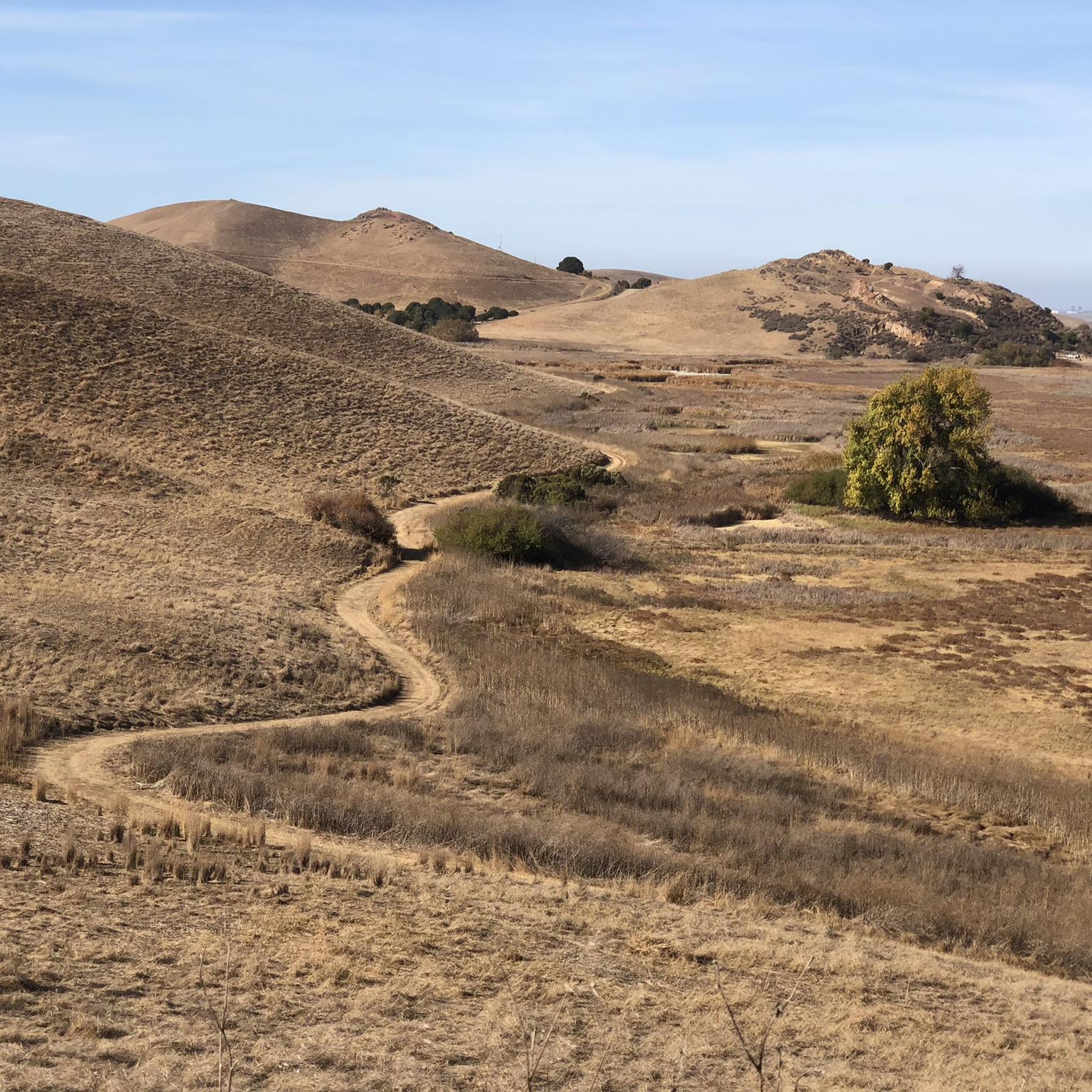
Entry point to the Hayward Shoreline trail. You'll have to travel through some industrial areas to reach this point, and the trail is gravel. Not overly populated, but there is some road noise from the San Mateo bridge.
0
0
Long gravel stretch was no issue for my hybrid commuter on a dry day. Nice and quiet, it's a lightly populated trail.
0
0

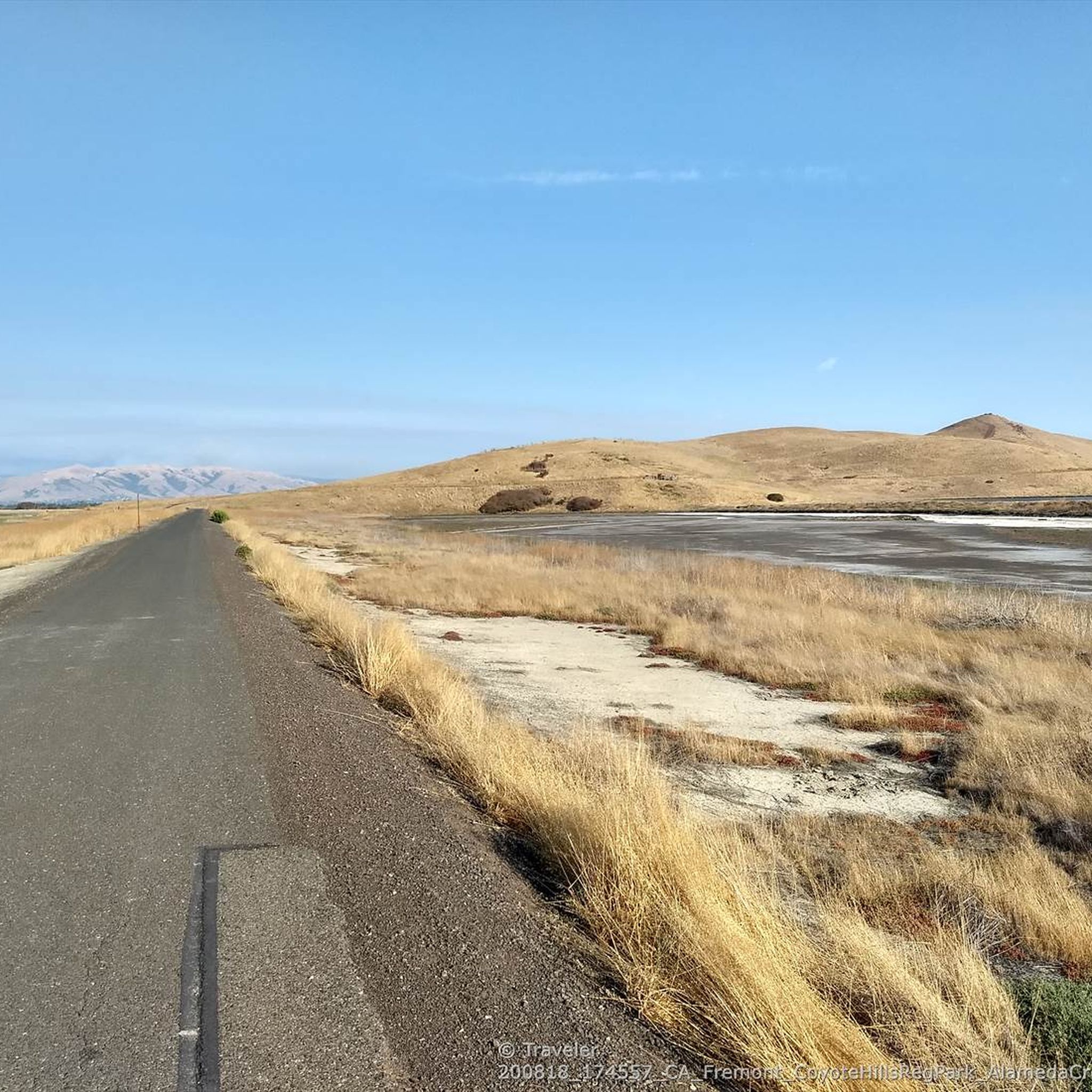
The San Francisco Bay Trail is a long bike route, and the Alameda Creek section is a nice, paved part of it. This segment is just one part of the extensive 500-mile trail that encompasses the Bay Area. Cyclists can enjoy a smooth ride along the Alameda Creek section.
0
0

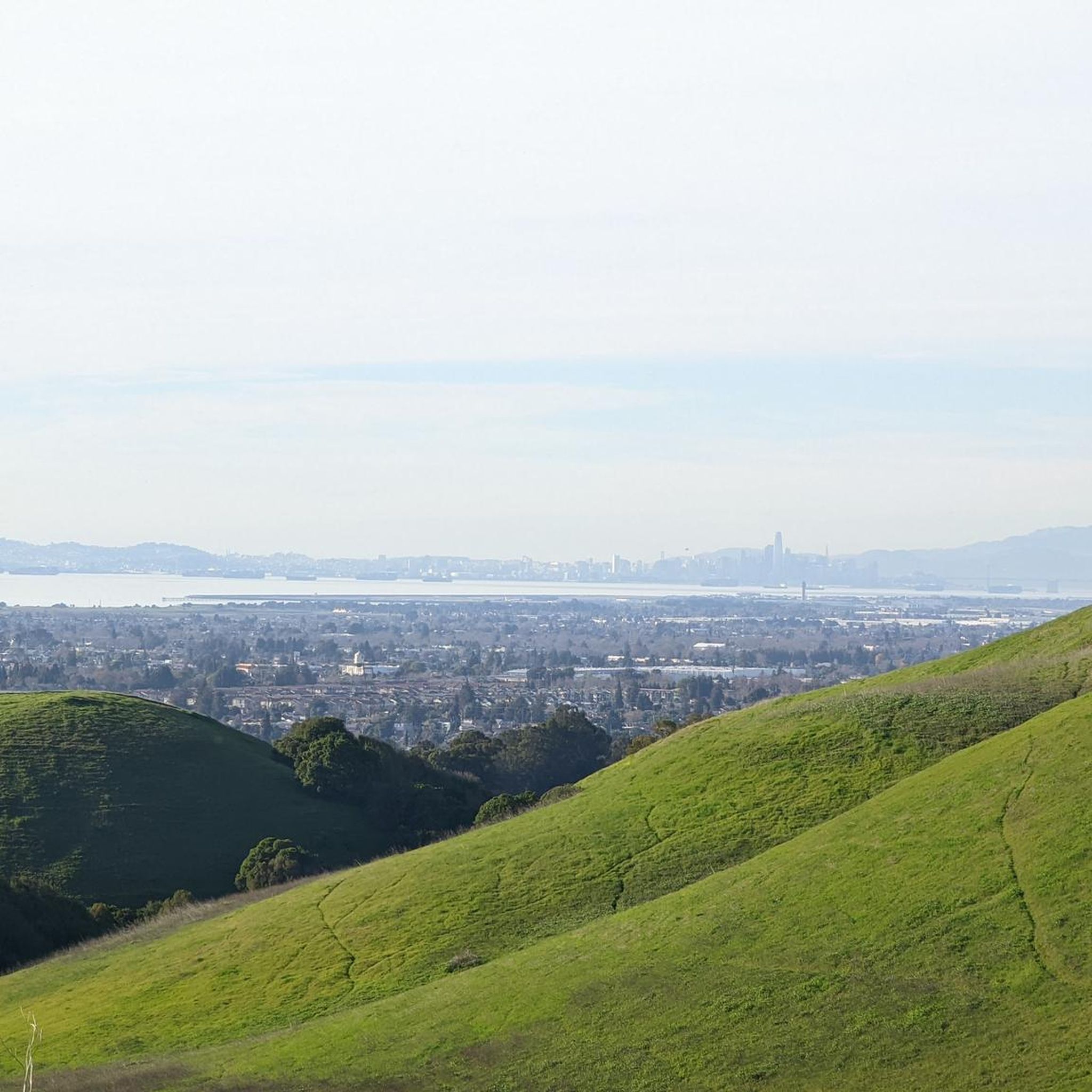
This stretch of trail offers stunning, panoramic overlooks of the water, including San Francisco Bay.
0
0

The Hayward Shoreline Interpretive Center, established in 1986, is a fantastic educational center for school groups and the public to learn about the significance and history of the wetlands surrounding San Francisco Bay. Several exhibits, programs, and activities are designed to cultivate appreciation, respect, and stewardship for the bay and its diverse wildlife. There is parking and restrooms available here.
1
0
Frequently Asked Questions
How many gravel bike trails are available around Hayward?
There are over 20 gravel bike trails around Hayward, offering a variety of experiences for different skill levels. You'll find options ranging from easy shoreline rides to more moderate loops with varied terrain.
What kind of terrain can I expect on gravel bike trails in Hayward?
Gravel bike trails in Hayward primarily feature flat to gently rolling terrain along the San Francisco Bay shoreline and through marshlands. You'll encounter extensive bayfront paths and creek-side routes, with varied surfaces suitable for gravel biking.
Are there any family-friendly gravel bike trails in Hayward?
Yes, many of the trails around Hayward are suitable for families due to their generally flat terrain and scenic views. The Hayward Regional Shoreline – Heron Bay loop from Oyster Bay Regional Shoreline is an easy 17.3-mile (27.9 km) route that offers a pleasant ride through the shoreline area.
What are the most popular gravel biking routes in Hayward?
Local gravel bikers frequently enjoy the San Francisco Bay Trail, which is a long bayfront ride. Another favorite is the Bayview Trail Observation Deck – Alameda Creek Trail loop from Visitor Contact Station & Restroom, combining creek-side paths with bay views.
What can I see along the gravel bike trails in Hayward?
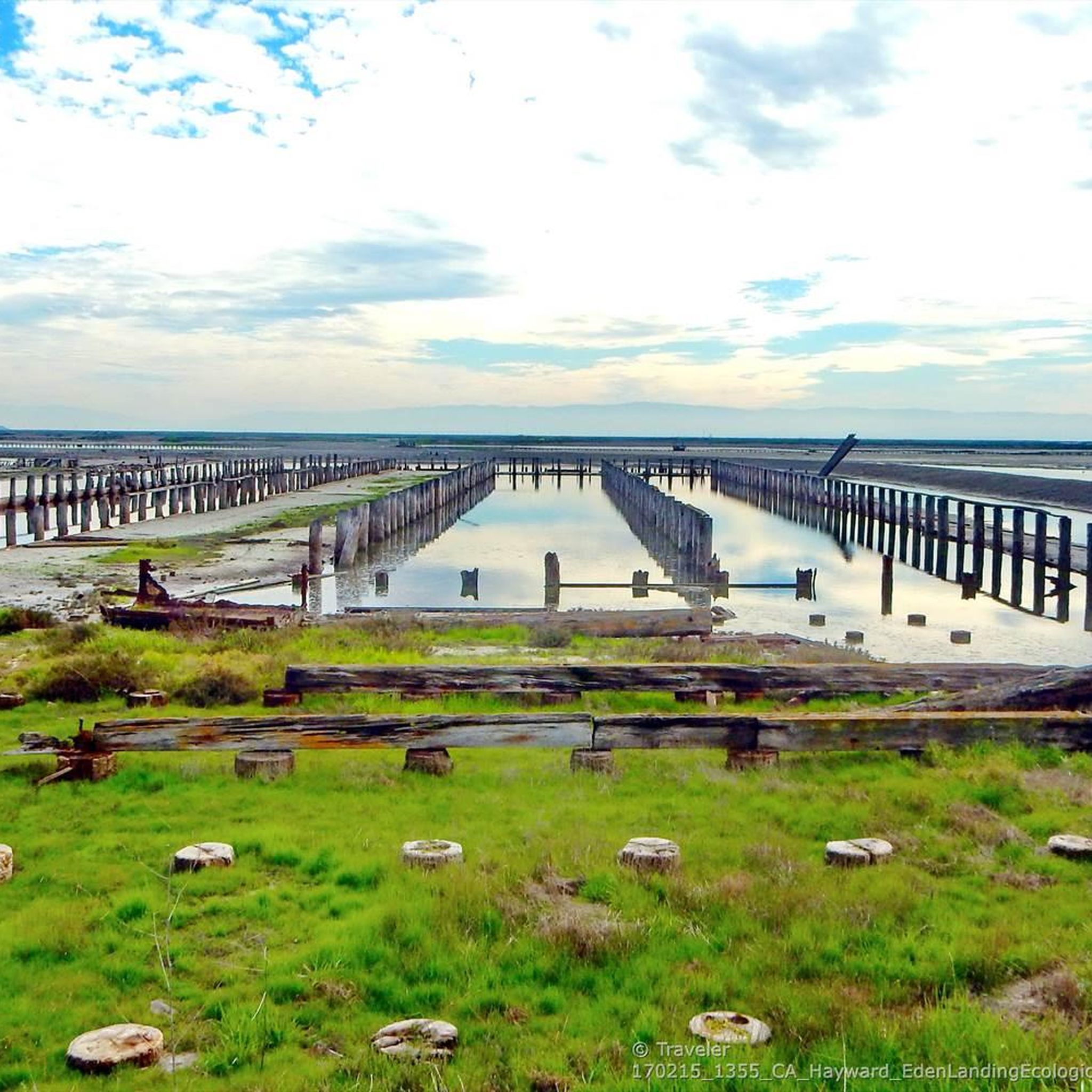
Along the gravel bike trails, you can explore various natural and historical points of interest. Highlights include the Hayward Regional Shoreline, the Eden Landing Ecological Preserve, and the Oracle Lagoon. You might also encounter the Interpretive Center - Hayward Regional Shoreline Museum for local insights.
Are there any circular gravel routes in Hayward?
Yes, there are several excellent circular gravel routes. The Bayview Trail Observation Deck – Alameda Creek Trail loop from Visitor Contact Station & Restroom is a popular moderate 22.7-mile (36.5 km) loop. Another option is the Alameda Creek Trail – Bayview Trail Observation Deck loop from Union City, which is a 32.2 km moderate loop.
What is the difficulty level of gravel biking in Hayward?
Gravel biking in Hayward offers a range of difficulty levels. Most routes are classified as easy to moderate, with 2 easy routes, 16 moderate routes, and 2 difficult routes available. The terrain is generally flat to gently rolling, making it accessible for many riders.
What do other gravel bikers enjoy most about gravel biking in Hayward?
The area is highly rated by the komoot community, with an average score of 4.7 stars from over 9 reviews. Riders often praise the extensive bayfront paths, the scenic creek-side routes, and the varied terrain that offers something for different ability levels.
Are there any specific trails that follow the Alameda Creek?
Yes, the Alameda Creek is a prominent feature in Hayward's gravel biking network. Routes like the Bayview Trail Observation Deck – Alameda Creek Trail loop from Visitor Contact Station & Restroom and the Alameda Creek Trail – Bayview Trail Observation Deck loop from Union City utilize sections of the Alameda Creek Trail, offering pleasant rides alongside the creek.
What is the longest gravel bike trail in Hayward?
The longest gravel bike trail listed is the San Francisco Bay Trail, which spans 38.2 miles (61.4 km). This route provides an extensive bayfront riding experience with minimal elevation changes.
Are there any trails that offer views of the San Francisco Bay?
Absolutely. Many gravel trails in Hayward offer stunning views of the San Francisco Bay. The San Francisco Bay Trail is specifically designed for extensive bayfront riding, and the Bayview Trail Observation Deck – Alameda Creek Trail loop from Visitor Contact Station & Restroom also provides excellent bay views.
Most popular attractions around Hayward

Get inspired with the komoot mobile app


Explore more
Browse the best Gravel rides in other regions.
