The best gravel rides around Malibu
4.7
(8)
237
riders
13
rides
If you've ever tried to plan gravel biking around Malibu, you know how quickly the options can become overwhelming. With so many fire roads and trails crisscrossing the Santa Monica Mountains, it's tough to tell which routes are genuinely worth your time and effort, and which are just filler. That's where we come in. Our komoot community has ridden, mapped, and reviewed countless miles here, so we've curated a shortlist of the best gravel bike trails in Malibu to save you the guesswork.
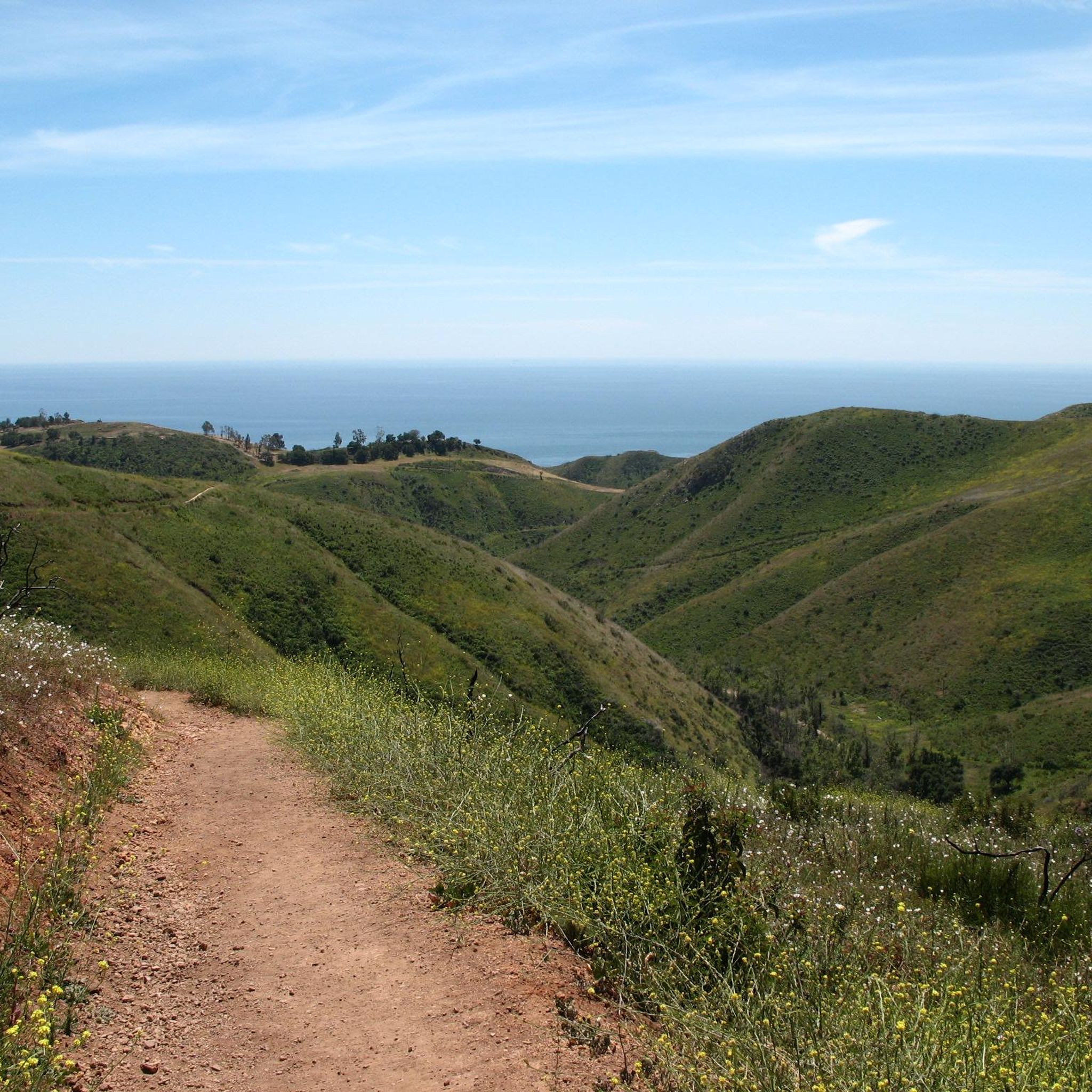
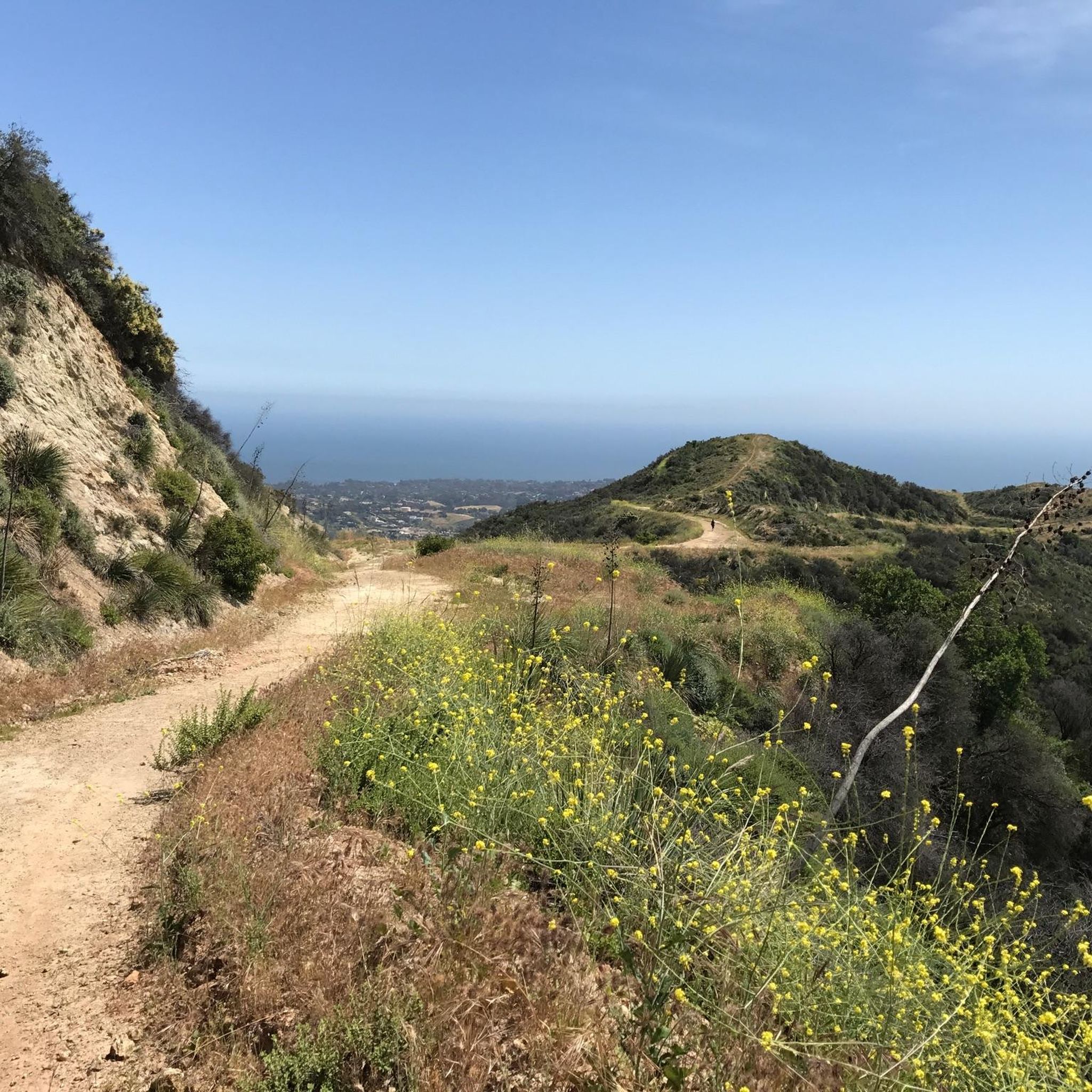
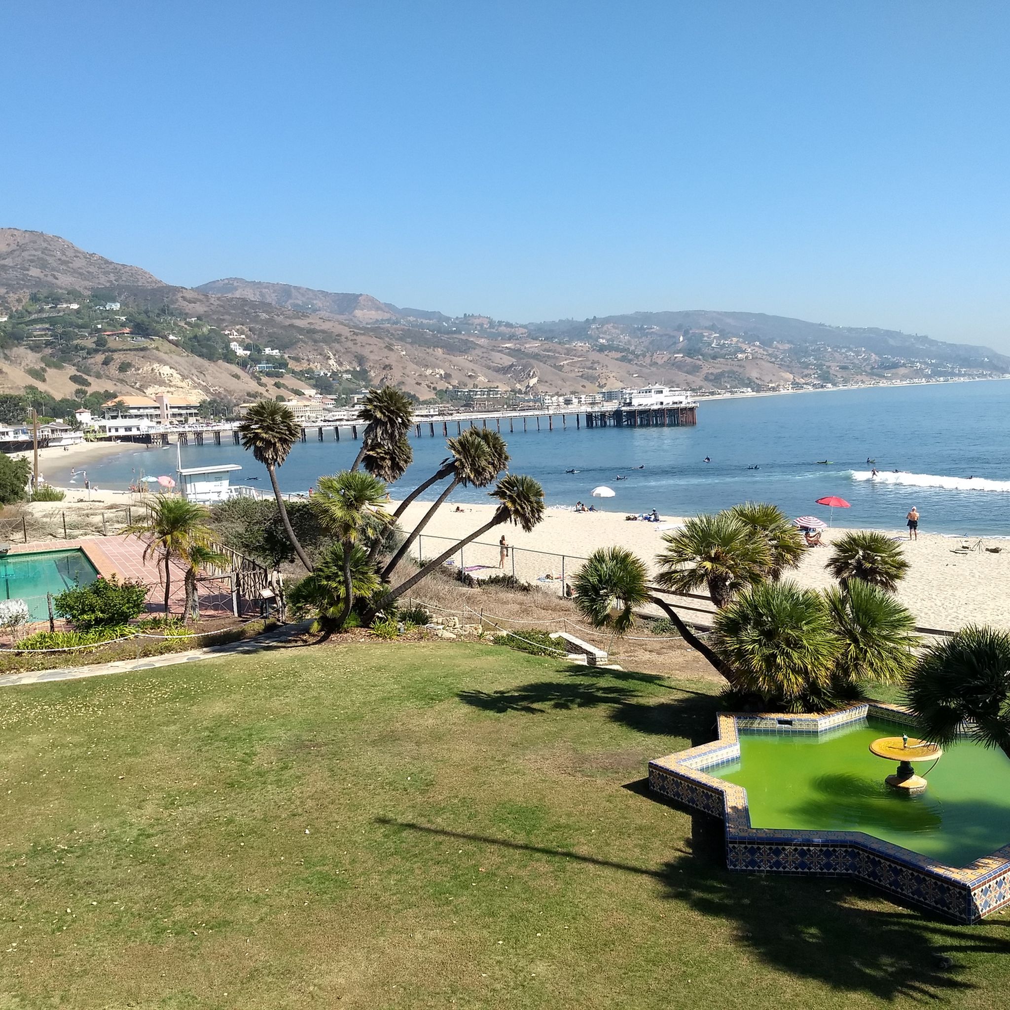
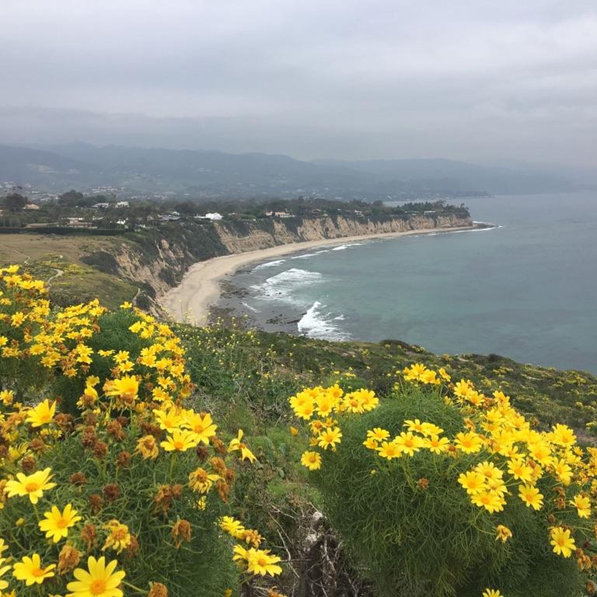
Gravel biking in Malibu is all about dramatic contrasts: rugged mountain terrain meets stunning coastal views, with extensive fire roads winding through canyons, past peaks, and into oak and sycamore woodlands. You'll find everything from easy, flowy paths to demanding climbs, often with loose dirt and decomposing asphalt under tire. The region's diverse landscape means you can ride from the ocean's edge up into the hills, experiencing varied elevations and scenic vistas.
If you only do one ride, we'd start with the Malibu Creek State Park loop, a fantastic moderate route at 13.9 miles (22.4 km) that offers a great taste of the area's scenic park landscapes. For something a bit easier, the Inspiration Loop Trail is an accessible 4.3 miles (6.9 km) path with lovely views over the surrounding hills. With over 200 gravel bikers having explored Malibu with komoot, you're in good company to find your next adventure.
Last updated: May 31, 2026
1
riders
22.4km
01:35
280m
280m
The Malibu Creek State Park loop offers a fantastic gravel biking experience, blending varied terrain with captivating scenery. You'll navigate wide fire roads and scenic dirt paths, winding through oak woodlands and California grasslands. Keep an eye out for the historic M*A*S*H Helipad, a unique landmark along the way, as you take in panoramic views of the Santa Monica Mountains. This route provides a great mix of challenge and reward for gravel biking enthusiasts.
This moderate 13.9-mile (22.4 km) loop involves 917 feet (280 metres) of elevation gain, typically taking around 1 hour and 35 minutes to complete. Located just 25 miles from downtown Los Angeles, the park is easily accessible for a day trip. While specific parking information isn't detailed, arriving early is always a good strategy, especially on busy days. Remember to bring plenty of water, as sections of the trail can be exposed.
Beyond its natural beauty, Malibu Creek State Park is notable for its rich Hollywood history, having served as a filming location for over 100 movies and TV shows. The park's diverse ecosystem also means you might spot local wildlife like deer and coyotes amidst the unique volcanic rock formations. It's a popular choice for those seeking a scenic and moderately challenging gravel biking adventure near the city.
6.91km
00:33
140m
140m
The Inspiration Loop Trail offers a delightful 4.3-mile (6.9 km) gravel biking experience, winding through Will Rogers State Historic Park. You'll gain about 468 feet (143 metres) on this easy route, which takes roughly 33 minutes to complete. The wide, hard-packed dirt path leads you past eucalyptus trees and, in spring, vibrant wildflowers, culminating in spectacular panoramic views from Inspiration Point.
This family-friendly gravel biking route is accessible year-round and is well-suited for beginners or those seeking a relaxed ride. Located within Will Rogers State Historic Park, the trailhead is easy to find, and the path is clearly signed. As a multi-use trail, you'll share the path with hikers and horseback riders, so be mindful of others.
Beyond the scenic vistas, the Inspiration Loop Trail is notable for its connection to the larger Backbone Trail System, offering options for extending your ride if you're feeling ambitious. Its location within a State Historic Park also means you're close to other attractions like the Will Rogers stables and the Will Rogers Polo Field, adding a touch of history and local context to your outing.

73
riders
Hard gravel ride. Very good fitness required. Mostly paved surfaces. Suitable for all skill levels.
9
riders
Hard gravel ride. Very good fitness required. Mostly paved surfaces. Suitable for all skill levels.
8
riders
29.0km
02:34
850m
850m
Hard gravel ride. Very good fitness required. Mostly paved surfaces. Suitable for all skill levels.
Get access to more routes and recommendations from other explorers.
Already have an account?
Our route recommendations are based on thousands of hikes, rides, and runs completed by other people on komoot.
Start today with a free account
Your next adventure awaits.
Tips from the Community

From Eagel Rock to Parker Mesa is very sandy at the moment
0
0

Topanga State Park has a lot of great trails, mostly for hikers; you have plenty of mountain bike options too, but only on the fire roads. No dogs allowed — sorry!
0
0

Tucked in the Santa Monica Mountains near Agoura Hills, Malibou Lake is a private reservoir surrounded by rustic homes and hillsides dotted with oak trees. Created in 1922, the Medea and Triunfo creeks feed the reservoir, which sits adjacent to Malibu Creek State Park. The lake has a long history as a Hollywood filming location, most notably Frankenstein (1931)—the iconic scene of the monster and a little girl.
0
0

This is an interesting historic landmark as well as a working polo field. There is parking on the north side of the field and if you ride through on a Saturday or Sunday, you might even catch a game here.
0
0
The Will Rogers Historic Stable was at the center of this historic ranch’s equestrian life. Up to 30 horses lived, trained, and rested there. Riders would gather in the large rotunda to saddle up, and polo horses were cared for and turned out after matches. Will Rogers even built a hidden staircase to access it unnoticed and wrote about how his horses lived better than he did.
0
0

San Vicente Mountain Park, located 2.7 miles west of the 405 freeway on an unpaved section of Mulholland Drive, has awesome 360-degree views and access to extensive hiking, mountain biking, and equestrian trails. The 10.2-acre park has public picnic areas, bathrooms, and is a gateway to Westridge Canyonback Park and the 20,000-acre “Big Wild” wilderness area. A short walk along a wide dirt road leads visitors to this historic site, which once housed a Nike-Ajax missile radar station during the Cold War (1956–1968). The original radar tower now provides panoramic views of the Santa Monica Mountains, Encino Reservoir, San Fernando Valley, and Los Angeles Basin, making it one of the best spots in the region to watch a sunset.
1
0

Sweeping panoramic overlook across Pacific Palisades, West LA, Santa Monica, and the Pacific Ocean bay at the junction of Paseo Miramar and Los Leones Trail
0
0

Your climb up to the ridgeline will be rewarded with an excellent view of the surrounding area.
0
0
Frequently Asked Questions
How many gravel bike trails are available in Malibu?
Malibu offers a selection of 12 gravel bike trails, catering to various skill levels. You'll find 1 easy route, 1 moderate route, and 10 difficult routes, ensuring a challenge for experienced riders and accessible options for beginners.
What are the difficulty levels of gravel bike trails in Malibu?
The gravel bike trails in Malibu range from easy to difficult. For a relaxed ride, consider the Inspiration Loop Trail. More challenging options, like the Sullivan Canyon Overlook – The Hub loop, offer significant elevation gains and longer distances for advanced riders.
What kind of terrain can I expect on Malibu's gravel bike routes?
Malibu's gravel routes feature a diverse landscape, primarily characterized by rugged mountain terrain and extensive fire roads within the Santa Monica Mountains. You'll encounter a blend of coastal beauty and challenging inland routes, navigating through canyons, past rugged peaks, and through areas with oak and sycamore woodlands. Some trails, like those in Zuma Ridge, offer 100% gravel sections with steady climbs.
Are there any family-friendly gravel bike trails in Malibu?
While many trails in Malibu are geared towards more experienced riders, the Inspiration Loop Trail is an easy 4.3-mile path that offers accessible riding with views over the surrounding hills, making it a good option for families looking for a less strenuous gravel experience.
What natural features or landmarks can I see along the gravel bike trails?
Malibu's gravel trails offer stunning natural features and landmarks. You can explore the rugged peaks and lush woodlands of Malibu Creek State Park, or enjoy panoramic ocean and city views from trails in Topanga State Park. Highlights include the Malibu Creek Rock Pools and the scenic Temescal Canyon Falls. The Santa Monica Pier and Will Rogers State Beach are also nearby attractions.
What do other gravel bikers enjoy most about riding in Malibu?
The komoot community highly rates gravel biking in Malibu, with an average score of 4.7 stars. Riders often praise the diverse landscape, from rugged mountain fire roads to stunning coastal views, and the variety of trails suitable for different skill levels. The 'otherworldly views' and the blend of challenging climbs with beautiful scenery are frequently highlighted.
Are there any circular gravel bike routes in Malibu?
Yes, Malibu offers several circular gravel bike routes. A popular option is the Malibu Creek State Park loop, a 13.9-mile trail with moderate elevation gain. Another is the Inspiration Loop Trail, an easy 4.3-mile loop with scenic views.
What is the best time of year for gravel biking in Malibu?
Malibu is generally pleasant for gravel biking year-round, thanks to its mild climate. However, spring and fall often offer the most comfortable temperatures and clear skies, making them ideal. Summer can be warm, especially inland, while winter might bring occasional rain, but also lush green landscapes.
Are there any trails that offer ocean views?
Absolutely. Many trails in Malibu provide stunning ocean views, especially those climbing from Pacific Coast Highway (PCH) into the canyons. Point Mugu State Park, for instance, offers gravel options like Sycamore Canyon, known for its non-technical terrain and ocean vistas. Trails from Topanga State Park, such as the Eagle Rock – The Hub loop from The Getty Villa, also provide panoramic ocean views.
Where can I find parking for gravel bike trails in Malibu?
Parking is generally available at the trailheads of major parks and popular routes. For example, Malibu Creek State Park and Topanga State Park have designated parking areas. It's advisable to check specific park websites or komoot tour details for precise parking locations and any potential fees before your ride.
Are there any waterfalls accessible from gravel bike routes?
While not directly on a gravel bike route, you can find stunning waterfalls nearby. Escondido Falls, one of the tallest in the Santa Monica Mountains, is a 3.5-mile hike away. Solstice Canyon also features a picturesque three-tiered waterfall. These can be excellent post-ride explorations.
Can I access Malibu's gravel trails using public transport?
Public transport access to some trailheads in Malibu can be limited, as many routes are located within the Santa Monica Mountains. However, some routes, like the Sullivan Canyon Overlook – The Hub loop, can be started from more accessible points like Downtown Santa Monica, which has better public transport connections. Planning your route start and end points carefully is recommended.
Most popular routes around Malibu
Most popular attractions around Malibu

Get inspired with the komoot mobile app


Explore more
Browse the best Gravel rides in other regions.
