The best gravel rides around Santa Clara
4.6
(23)
262
riders
35
rides
Gravel biking around Santa Clara offers diverse terrain across its varied landscapes, extensive park systems, and numerous trails. The region features a mix of paved and unpaved surfaces, including dirt loops and fire roads, suitable for different skill levels. Riders can explore baylands, river trails, and natural areas, benefiting from a climate that allows for year-round outdoor activity. This environment provides opportunities for both flat, scenic rides and more challenging routes with elevation.
Best gravel bike trails around Santa Clara
- The most popular gravel bike trail is New Chicago Marsh – Alviso Marina County Park loop from River Oaks, a 21.8 miles (35.1 km) trail that takes 2 hours 58 minutes to complete. This moderate route is suitable for all skill levels, offering views along the bay.
- Another top favourite among local gravel bikers is Stevens Creek bridge – San Francisco Bay Trail loop from Sunnyvale, a difficult 52.3 miles (84.2 km) path. This route is mostly paved, providing a harder gravel ride experience.
- Local gravel bikers also love the Vasona Lake – Camden Ponds loop from Bascom, a 26.3 miles (42.3 km) trail leading through parklands and around reservoirs, often completed in about 3 hours 49 minutes.
- Gravel biking around Santa Clara is defined by baylands, river paths, and varied park terrain, offering options for different ability levels.
- The routes in Santa Clara are highly rated by the komoot community with an average score of 4.4 stars from over 10 reviews. More than 200 gravel bikers have used komoot to explore Santa Clara's varied terrain.
Last updated: October 2, 2026
5.0
(4)
34
riders
Moderate gravel ride. Good fitness required. Mostly paved surfaces. Suitable for all skill levels.
4.3
(3)
18
riders
Moderate gravel ride. Good fitness required. Mostly paved surfaces. Suitable for all skill levels.

5.0
(2)
18
riders
Easy gravel ride. Great for any fitness level. Mostly paved surfaces. Suitable for all skill levels.
5.0
(2)
34
riders
42.7km
03:18
1,010m
1,010m
Hard gravel ride. Very good fitness required. Mostly paved surfaces. Suitable for all skill levels.
4.5
(2)
7
riders
23.5km
01:59
500m
500m
Hard gravel ride. Very good fitness required. Mostly paved surfaces. Suitable for all skill levels.
Get access to more routes and recommendations from other explorers.
Already have an account?
Our route recommendations are based on thousands of hikes, rides, and runs completed by other people on komoot.
Start today with a free account
Your next adventure awaits.
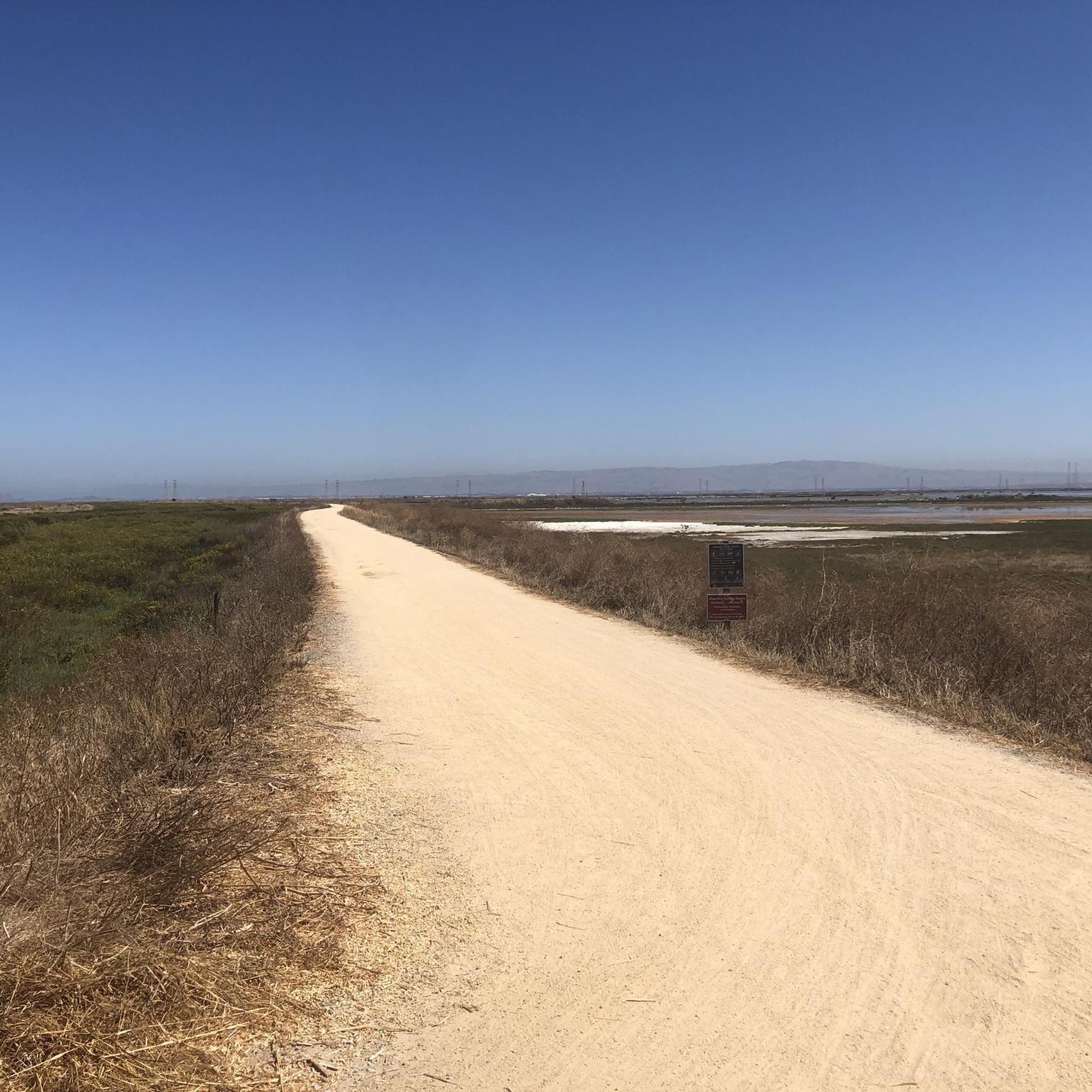
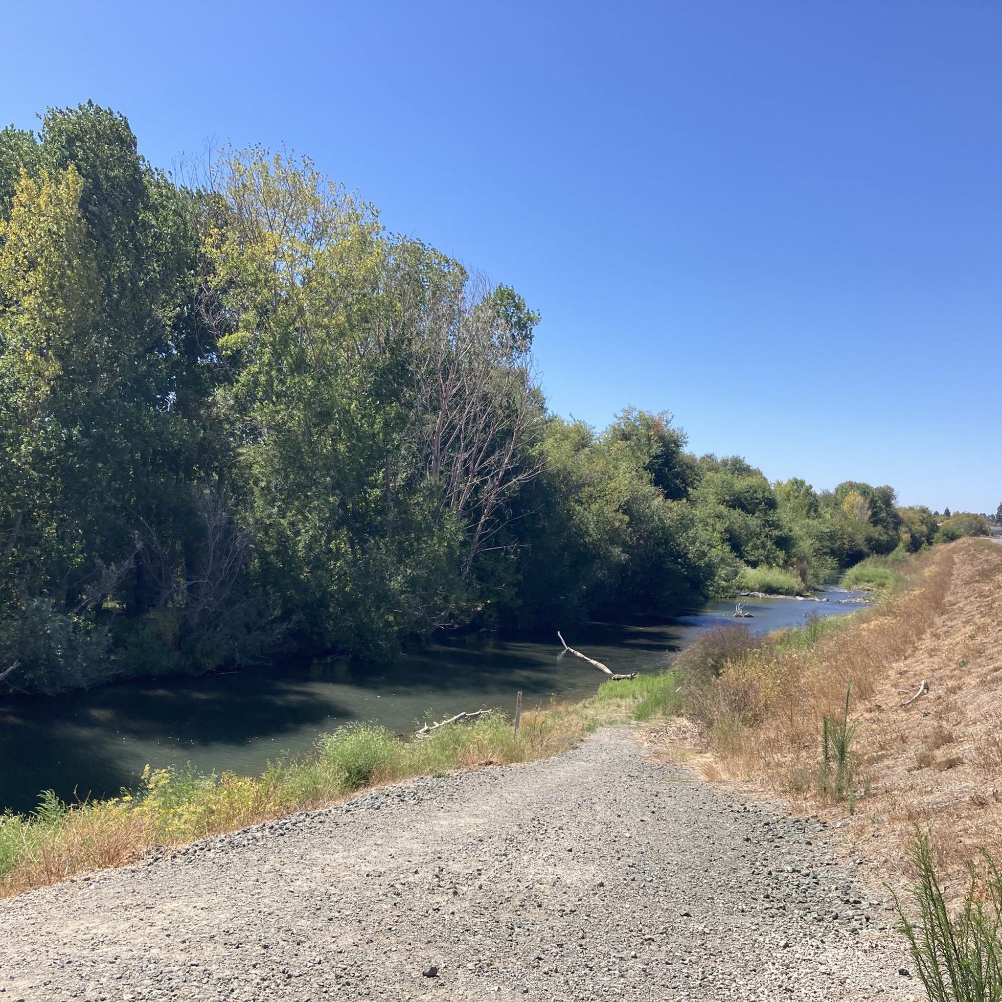
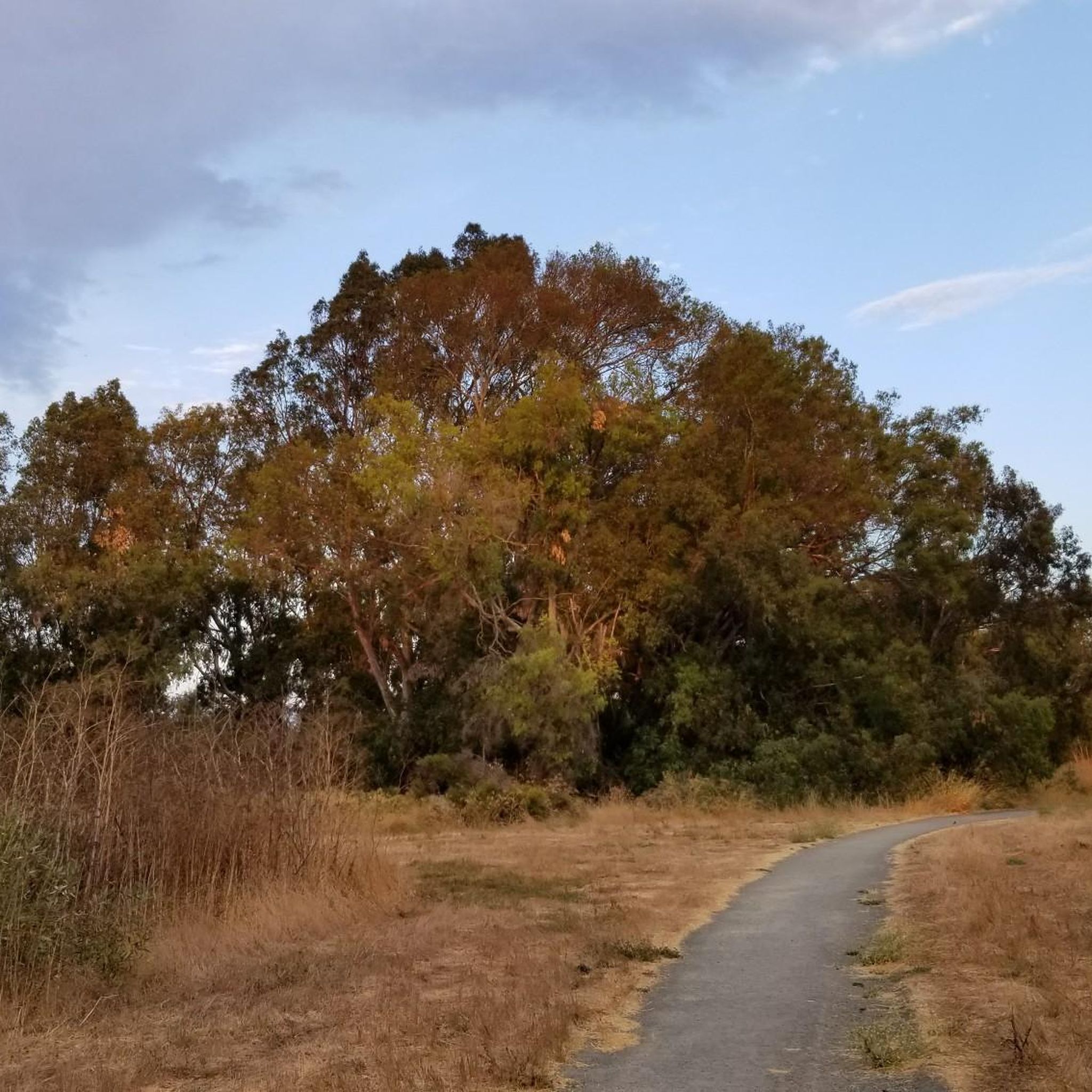
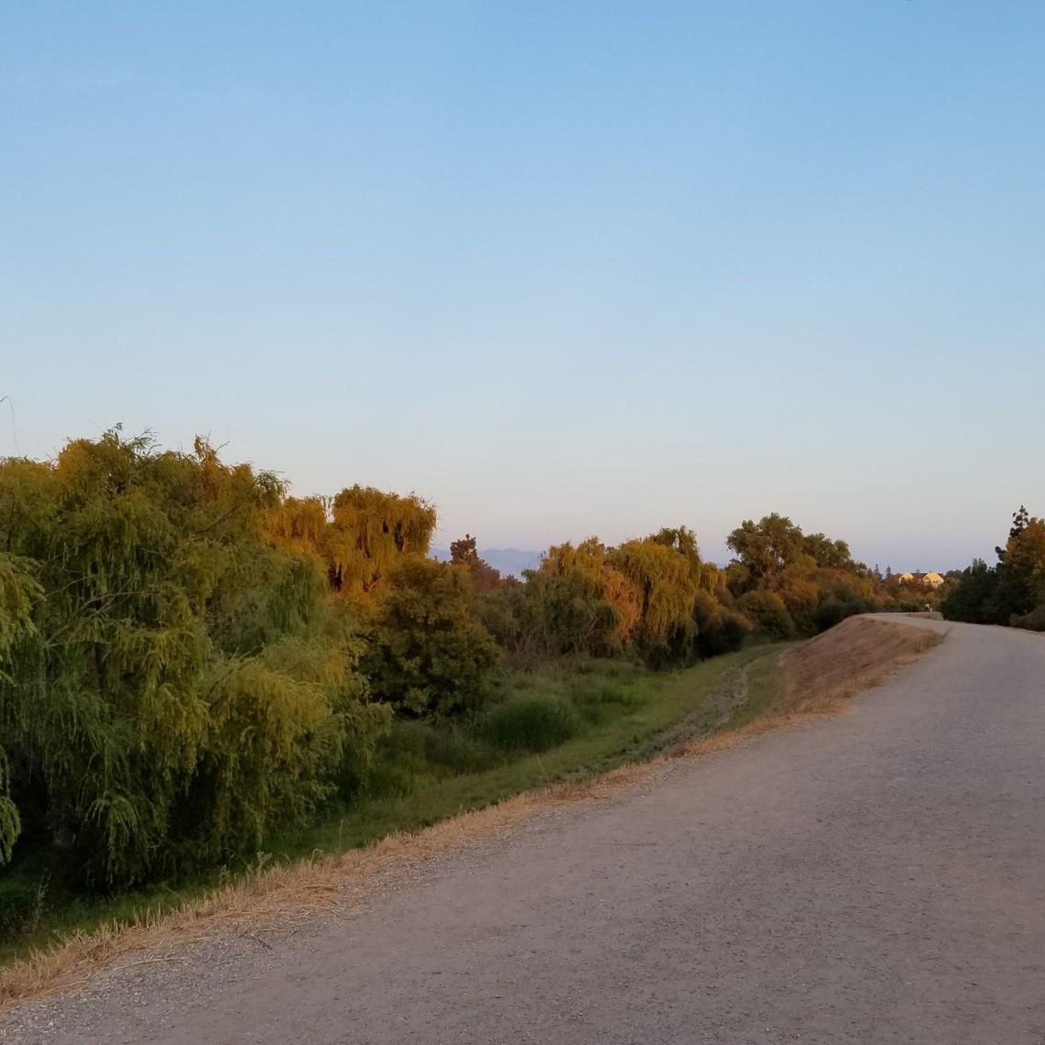
Tips from the Community


Stevens Creek Reservoir spans 87 acres and is surrounded by a 1,063-acre park. Visitors can enjoy hiking, horseback riding, picnicking, and limited fishing. Seasonal boating for low-power boats is available from mid-April to mid-October. The park is open daily from 8 a.m. to sunset, with vehicle entry fees collected year-round at the Chestnut parking lot. Visitors can explore natural beauty and historic remnants like the Villa Maria orchard.
0
0


Stevens Creek Reservoir spans 87 acres and is surrounded by a 1,063-acre park. Visitors can enjoy hiking, horseback riding, picnicking, and limited fishing. Seasonal boating for low-power boats is available from mid-April to mid-October. The park is open daily from 8 a.m. to sunset, with vehicle entry fees collected year-round at the Chestnut Parking Lot. Visitors can explore natural beauty and historic remnants like the Villa Maria orchard.
1
0

The San Francisco Bay Trail is a flat, paved trail that runs along the border of the bay. It is a great place for a run because it is traffic free and has great views.
0
0

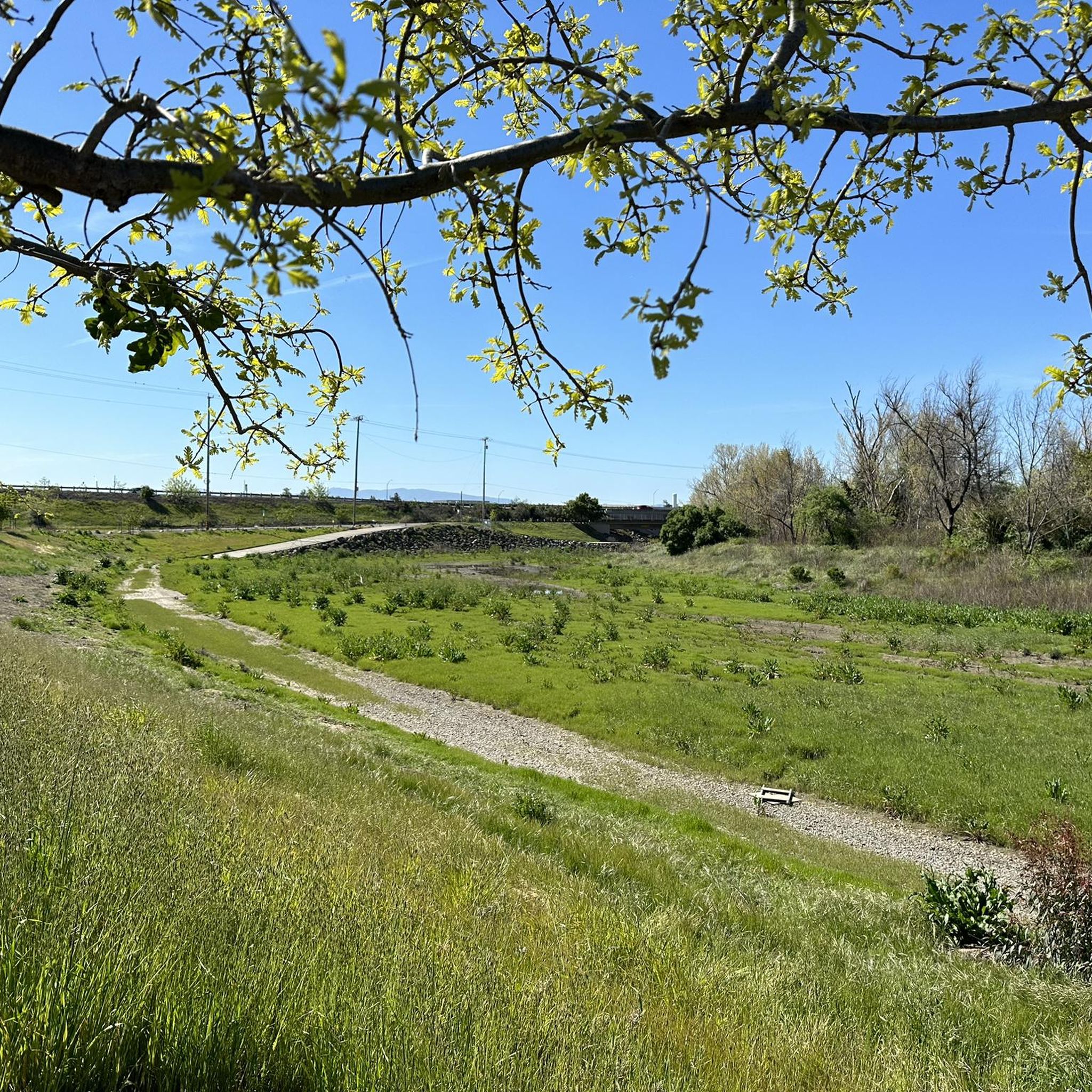
Charming bridge crossing Seven's Creek Boulevard at the north end of Creekside Park. Nearby, you’ll find the historic Stocklmeir Farmhouse in Blackberry Farm Park.
0
0
Frequently Asked Questions
How many gravel bike trails are available around Santa Clara?
There are over 40 gravel bike trails around Santa Clara, offering a diverse range of experiences for all skill levels. These routes cover varied landscapes, from baylands to river paths and park terrain.
What are some easy gravel bike routes for beginners or families in Santa Clara?
For an easy and family-friendly gravel ride, consider the Moffett Federal Airfield – Stevens Creek bridge loop from Santa Clara-Great America. This route is about 16 miles (25.8 km) long and suitable for any fitness level, offering a gentle introduction to gravel biking in the area.
Are there any challenging gravel bike trails in Santa Clara for experienced riders?
Yes, experienced riders looking for a challenge can explore routes like the Stevens Creek bridge – San Francisco Bay Trail loop from Sunnyvale. This difficult 52.3 miles (84.2 km) path is mostly paved but offers a harder gravel ride experience with significant distance and elevation changes.
What kind of scenery can I expect on Santa Clara's gravel bike trails?
Santa Clara's gravel trails offer diverse scenery, from serene bay views and marshlands to lush parklands and river paths. You can expect to see native plants and wildlife, especially along routes near the bay and natural areas like Ulistac Natural Area and Alviso Marina County Park. Many routes also feature views of the surrounding hills and urban landscapes.
What are some notable natural attractions or landmarks along the gravel routes?
Many routes pass by or near beautiful natural features. You can explore areas like Camden Ponds and Vasona Lake, which are often part of popular loops. The Former salt ponds – Alviso wetlands offer unique landscapes and birdwatching opportunities. For panoramic views, look for trails that offer vistas like the View of Saratoga and the Bay Area from Hunters Point.
What is the best time of year for gravel biking in Santa Clara?
Santa Clara benefits from a 'Goldilocks climate'—not too hot, not too cold—tempered by the Pacific Ocean and San Francisco Bay. This allows for comfortable outdoor enjoyment, including gravel biking, year-round. Even in winter, many trails remain accessible, though underpasses on river trails like the Guadalupe River Trail can flood after heavy rain.
Are there any gravel bike routes that are primarily loop trails?
Yes, many gravel bike routes in Santa Clara are designed as loops. For instance, the Camden Ponds – Vasona Lake loop from Winchester is a moderate 14.8 miles (23.8 km) trail that takes you through parklands and around reservoirs, offering a circular experience.
What do other gravel bikers say about the trails in Santa Clara?
The gravel biking routes in Santa Clara are highly rated by the komoot community, with an average score of 4.4 stars from over 10 reviews. Reviewers often praise the diverse terrain, the scenic bay views, and the variety of options available for different skill levels.
Where can I find parking for gravel bike trails in Santa Clara?
Many parks and trailheads in Santa Clara offer designated parking areas. For example, parks like Alviso Marina County Park, Vasona Lake County Park, and Central Park typically have parking facilities. It's advisable to check specific park websites or komoot tour details for precise parking information for your chosen route.
Can I access gravel bike trails in Santa Clara using public transport?
Santa Clara has a public transportation network, including VTA (Valley Transportation Authority) buses and light rail, which can provide access to various areas. While direct access to every trailhead might vary, many routes, especially those along the Guadalupe River Trail or near urban parks, are often reachable via public transport connections. Check VTA schedules and route maps for the most current information.
Are there any gravel routes that offer a mix of paved and unpaved surfaces?
Yes, Santa Clara's gravel biking scene is characterized by a mix of surfaces. Many routes, such as the Vasona Lake – Camden Ponds loop from Bascom, combine paved sections with unpaved gravel paths, fire roads, and even some singletrack, providing a varied riding experience.
Most popular routes around Santa Clara
Most popular attractions around Santa Clara

Get inspired with the komoot mobile app


Explore more
Browse the best Gravel rides in other regions.
