The best gravel rides around Belvedere
4.7
(17)
391
riders
28
rides
Gravel biking around Belvedere offers diverse terrain within the scenic Tiburon Peninsula in Marin County, California. The region features an undulating landscape with varied soil conditions and serpentine rock outcrops. Riders can expect routes that provide panoramic views of the San Francisco skyline, Angel Island, and Mount Tamalpais. The area's natural features include serene lagoons and nature reserves, contributing to a varied outdoor experience.
Best gravel bike trails around Belvedere
- The most popular gravel bike trail is Sausalito — Mill…
Last updated: July 1, 2026
5.0
(1)
57
riders
32.6km
02:21
570m
570m
Hard gravel ride. Very good fitness required. Mostly paved surfaces. Suitable for all skill levels.
11
riders
94.7km
09:14
2,760m
2,760m
Hard gravel ride. Very good fitness required. Mostly paved surfaces. Suitable for all skill levels.

Sign up for free
4.5
(2)
13
riders
27.8km
02:53
890m
890m
Hard gravel ride. Very good fitness required. Mostly paved surfaces. Suitable for all skill levels.
5.0
(1)
32
riders
31.9km
02:21
600m
600m
The Sausalito — Mill Valley Path – Bothin Marsh Preserve loop offers a fascinating gravel biking experience, blending smooth paved sections with the potential to connect to more rugged terrain.…
15
riders
45.7km
03:59
1,180m
1,180m
The Phoenix Lake – Fish Gulch trail junction loop from Mill Valley offers a demanding yet incredibly scenic gravel biking adventure. You'll wind through diverse landscapes, from the cool shade…
Get access to more routes and recommendations from other explorers.
Sign up for free
Already have an account?
Our route recommendations are based on thousands of hikes, rides, and runs completed by other people on komoot.
Start today with a free account
Your next adventure awaits.
Login or Signup
Tips from the Community


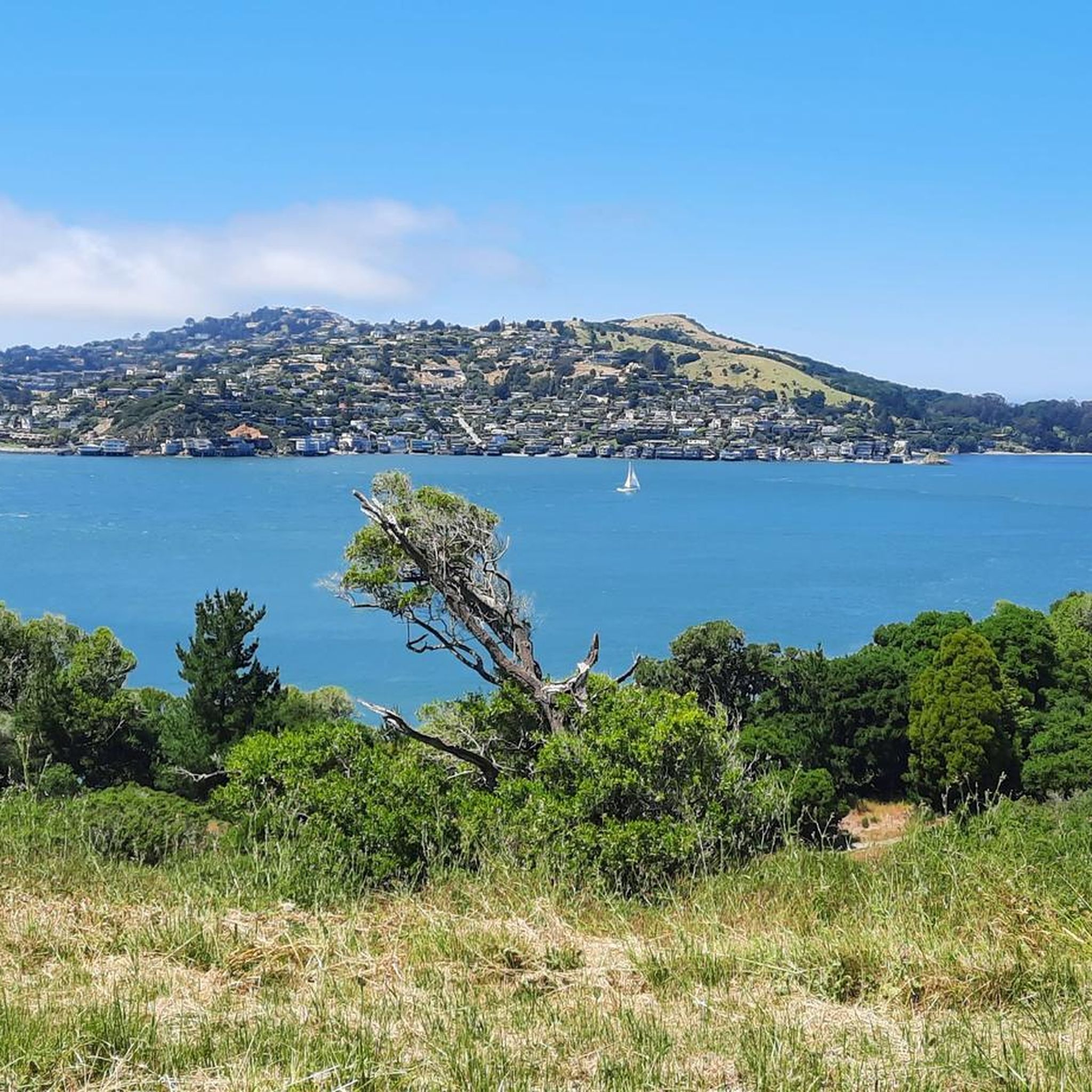
Arrival of the magnificent Golden Gate crossing
0
0

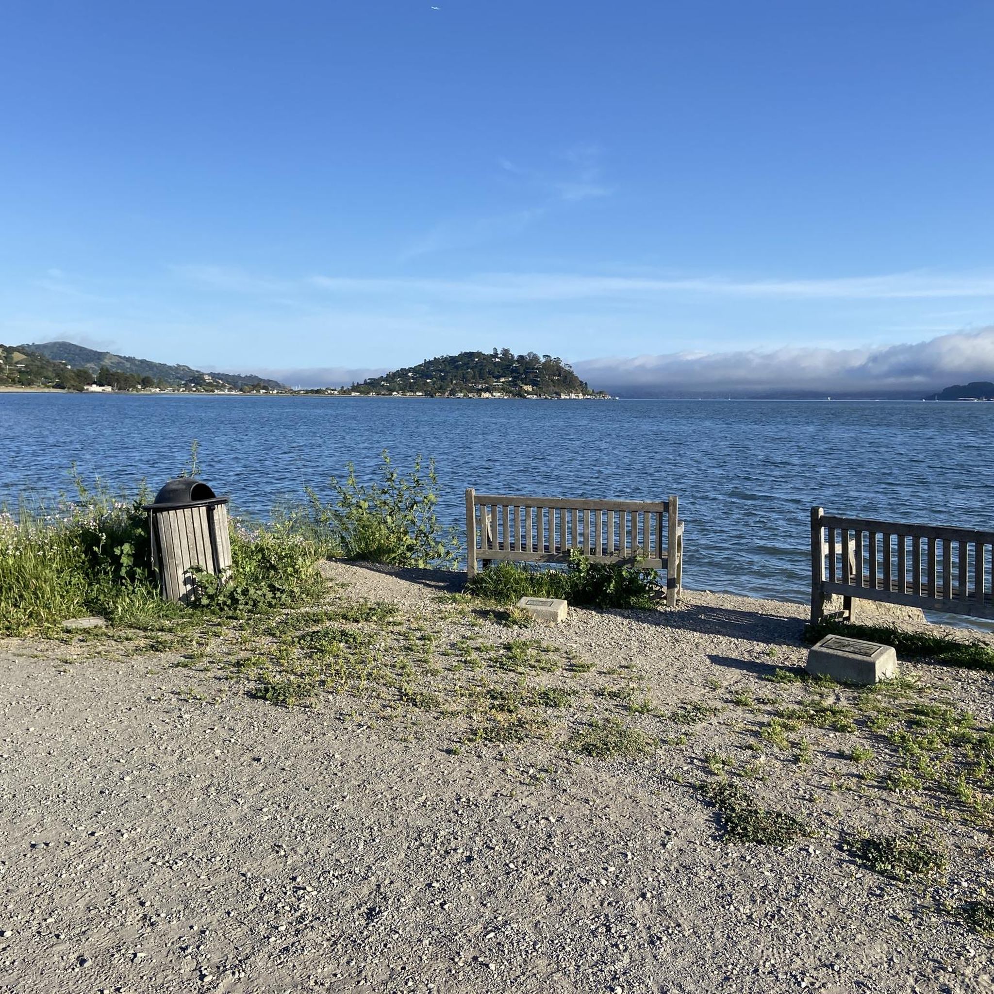
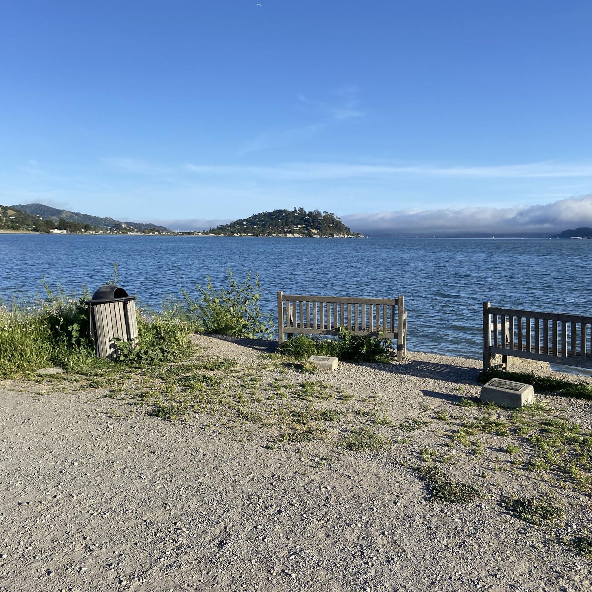
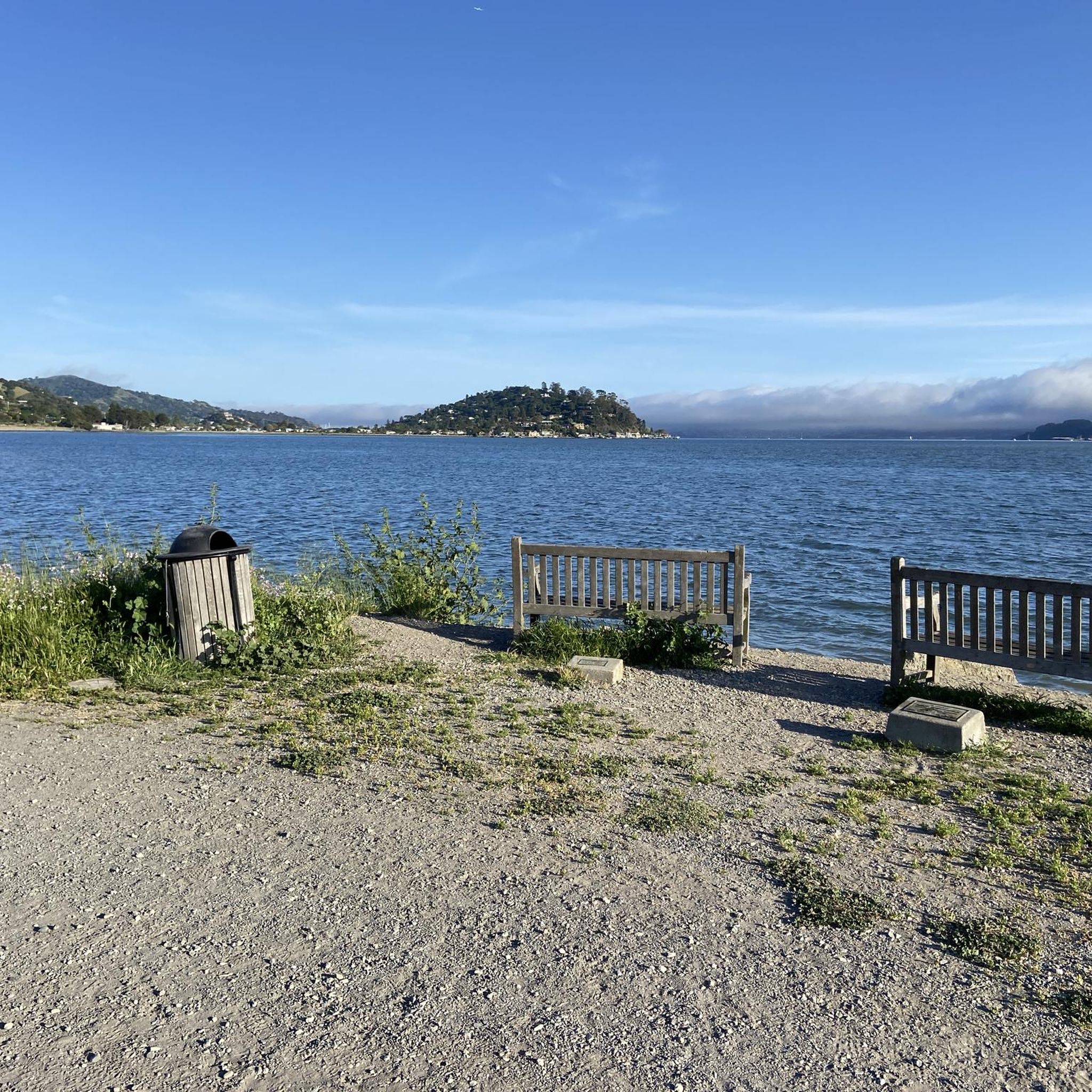
Good vantage point.
0
0


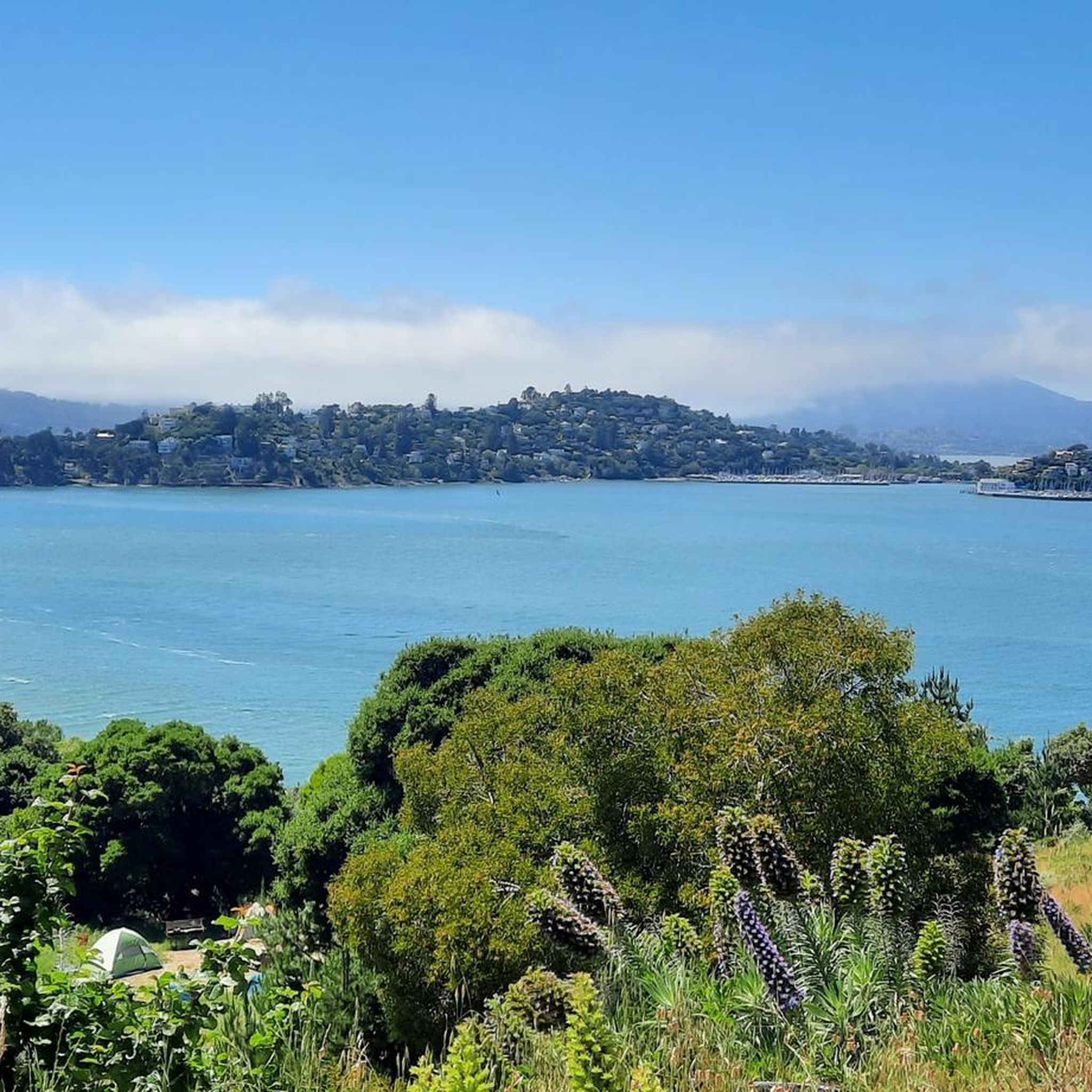
A nice place, but the bike parking fee and the price of an ice cream are a complete rip off!
0
0

This tidal sanctuary runs along the Mill Valley-Sausalito Pathway and the Charles F. McGlashan Pathway. More than 400 species of migratory birds rest here after their long flights, and if you pass through in the early morning or late evening, the sunrises and sunsets reflect beautifully on the surface of this 106-acre marsh.
0
0

From easiest to hardest climbs out of phoenix lake from this junction: -Shaver Grade, easy grade, longer, shaded and pretty -Eldridge Grade, medium, good length and can connect you to mt tam east peak -Fish Grade fire road, very steep, we hiked the bikes
1
0
Frequently Asked Questions
What kind of terrain can I expect on gravel bike trails around Belvedere, California?
Gravel biking around Belvedere, located on the Tiburon Peninsula in Marin County, California, features an undulating landscape with varied soil conditions and serpentine rock outcrops. You'll encounter diverse natural areas, offering panoramic views of the San Francisco skyline, Angel Island, and Mount Tamalpais.
Are there many gravel biking routes available in the Belvedere area?
Yes, there are over 40 gravel biking routes around Belvedere. The komoot community has explored these varied terrains extensively, with over 500 gravel bikers using komoot to discover the area.
What is the general difficulty level of gravel bike trails near Belvedere?
The gravel biking routes around Belvedere are primarily challenging. Out of over 40 routes, 31 are rated as difficult, and 10 are moderate. There are no easy routes listed, so riders should be prepared for significant elevation gains and varied terrain.
Can you recommend a challenging gravel bike loop with good views?
For a challenging ride with significant elevation and great views, consider the Pantoll Road loop from Mill Valley. This difficult 34.6 km route involves nearly 909 meters of ascent, taking you through the scenic Marin County landscape.
Are there any longer gravel biking routes for advanced riders?
Advanced riders looking for a longer challenge might enjoy the Bothin Marsh Preserve – Pantoll Road loop from Tamalpais-Homestead Valley. This difficult route spans 48.5 km and features an impressive 1297 meters of elevation gain, offering a demanding and rewarding experience.
What are some notable landmarks or attractions I might see near the gravel trails?
While riding, you might catch glimpses of iconic sights like the Golden Gate Bridge. Other nearby attractions include historical sites like Fort Point and natural areas such as the Bothin Marsh Preserve, which is featured in some routes.
What do other gravel bikers say about the routes in Belvedere?
The routes in Belvedere are highly rated by the komoot community, with an average score of 4.6 stars from over 10 reviews. Riders often praise the diverse terrain and the stunning panoramic views of the San Francisco Bay area.
Are there any gravel routes that pass through natural preserves or offer unique natural features?
Yes, the Old Mine Trail (lower) 🌲 – Coast View Trail loop from Tamalpais-Homestead Valley leads through diverse natural areas. The region itself is known for its serene Belvedere Lagoon, ideal for bird watching, and the Tiburon Uplands Nature Reserve, which offers scenic trails.
What is the best time of year for gravel biking in Belvedere, California?
Marin County, where Belvedere is located, generally offers pleasant biking conditions for much of the year. Spring and fall typically provide mild temperatures and clear skies, making them ideal. Summers are often cool and foggy, especially near the coast, while winters are mild but can bring rain. Always check local weather forecasts before heading out.
Are there any routes that offer views of the San Francisco Bay and surrounding areas?
Many routes in the Belvedere area provide scenic vistas. For example, the Marincello Trail – Sausalito — Mill Valley Path loop from Alta offers varied terrain and excellent views of the surrounding bay area, including the San Francisco skyline and Angel Island.
Are there any gravel routes that are less crowded?
While specific crowd levels can vary, exploring routes during off-peak hours or weekdays can often lead to a more solitary experience. Routes like the Phoenix Lake – Fish Gulch trail junction loop from Mill Valley, while popular, might offer quieter sections, especially further into the ride.
What should I bring for a gravel bike ride in Belvedere?
Given the challenging nature and significant elevation gains of many routes, it's essential to bring plenty of water, snacks, a repair kit, and appropriate layers of clothing. The weather can change, especially with coastal influences. A GPS device or a loaded komoot tour on your phone is also highly recommended for navigation.
Most popular attractions around Belvedere

Get inspired with the komoot mobile app


Explore more
Browse the best Gravel rides in other regions.
