The best gravel rides around Lafayette
3.5
(8)
77
riders
16
rides
Gravel biking around Lafayette, California, offers varied terrain across hills and open spaces in the East Bay region. The landscape features rolling hills, some with significant elevation changes, and provides views of Mount Diablo and the surrounding areas. Routes often combine paved sections with unpaved fire roads and gravel paths, catering to different levels of technical skill. The area's geography supports both challenging climbs and more moderate rides through natural settings.
Best gravel bike trails around Lafayette
- The most popular…
Last updated: July 3, 2026
12
riders
55.6km
03:57
960m
960m
Hard gravel ride. Very good fitness required. Mostly paved surfaces. Suitable for all skill levels.
2.0
(1)
6
riders
Moderate gravel ride. Good fitness required. Mostly paved surfaces. Suitable for all skill levels.

Sign up for free
3.0
(1)
12
riders
67.4km
04:59
1,460m
1,460m
Hard gravel ride. Very good fitness required. Mostly paved surfaces. Suitable for all skill levels.
5.0
(2)
8
riders
44.3km
03:15
820m
820m
Hard gravel ride. Very good fitness required. Mostly paved surfaces. Suitable for all skill levels.
13
riders
31.5km
02:15
530m
530m
Hard gravel ride. Very good fitness required. Mostly paved surfaces. Suitable for all skill levels.
Get access to more routes and recommendations from other explorers.
Sign up for free
Already have an account?
Our route recommendations are based on thousands of hikes, rides, and runs completed by other people on komoot.
Start today with a free account
Your next adventure awaits.
Login or Signup
Tips from the Community

Mount Diablo, is the Bay Area second-highest peak at 1173m (3849ft). The challenging climb features constantly fluctuating gradients averaging 8%, with tough sections up to 18% and a brutal 23% finish in the last 200m. The equally demanding descent requires good bike handling due to tight corners, potholes, and strong winds. The road to the top is open daily from 8 AM till sunset.
0
0
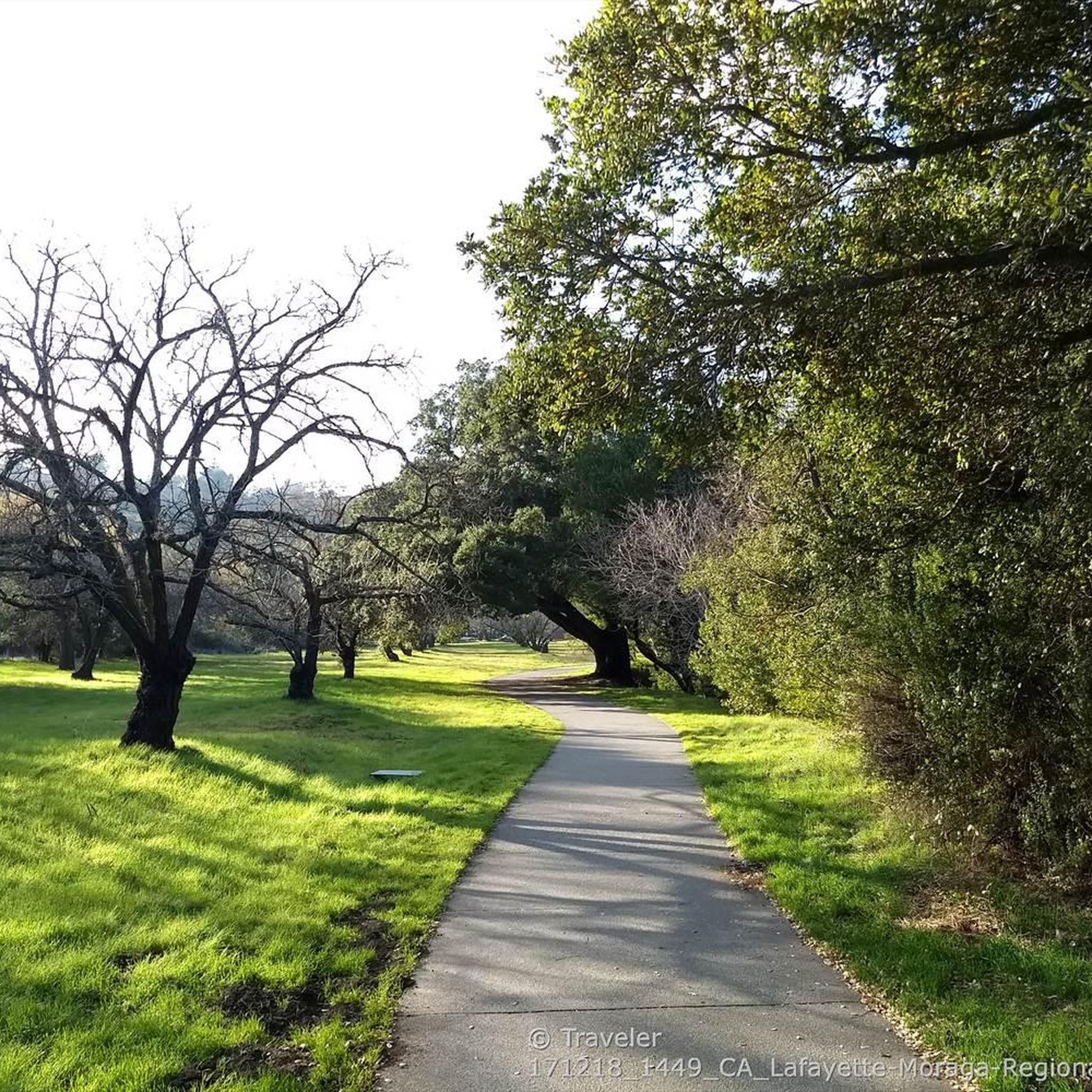
Valle Vista is the trailhead for the paved Lafayette-Moraga Regional Trail, a popular rail-trail for cyclists. There’s a restroom here, but note: the EBMUD dirt trails are hiking-only and require a permit. The bike trail has been officially closed between here and Moraga since a 2019 landslide.
0
0

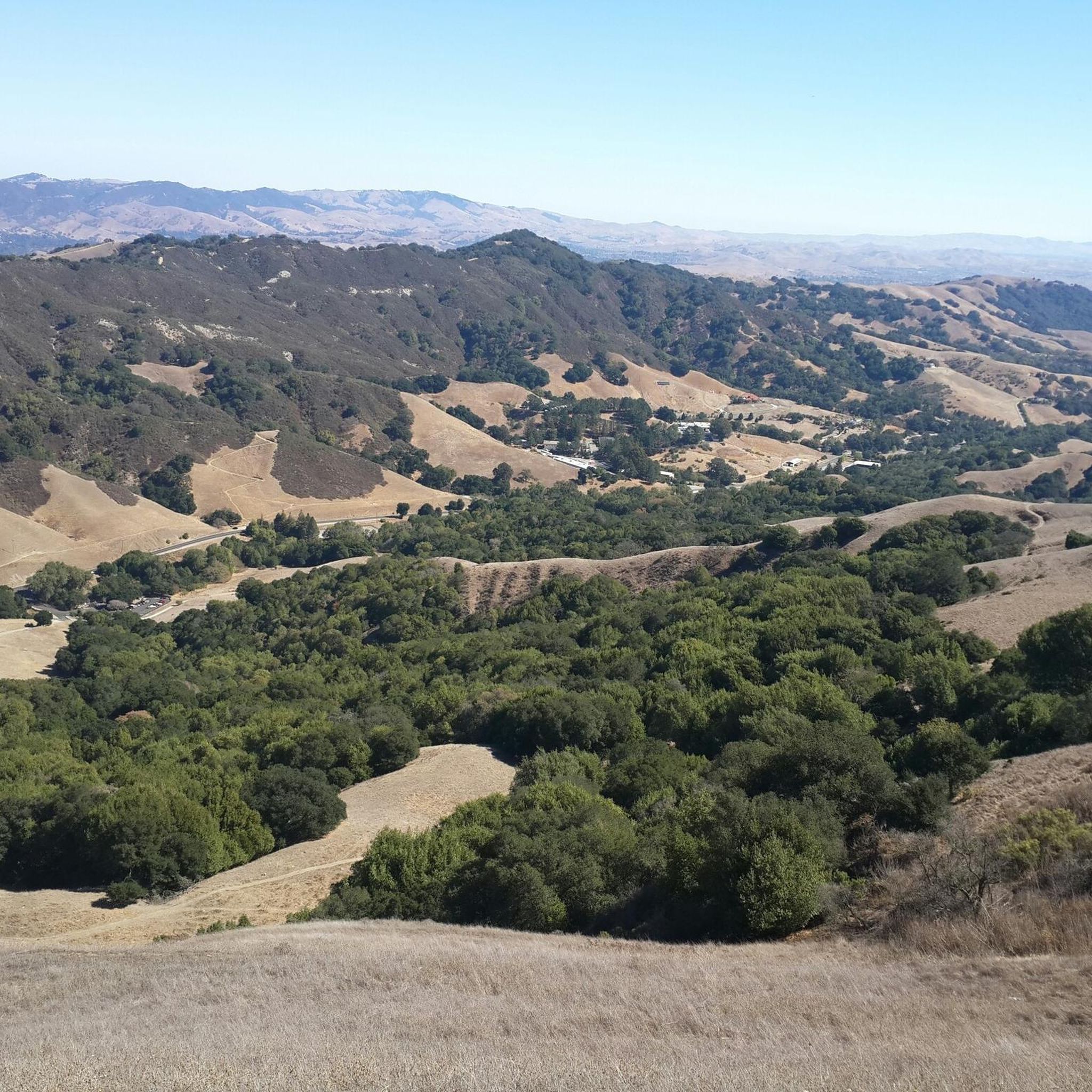
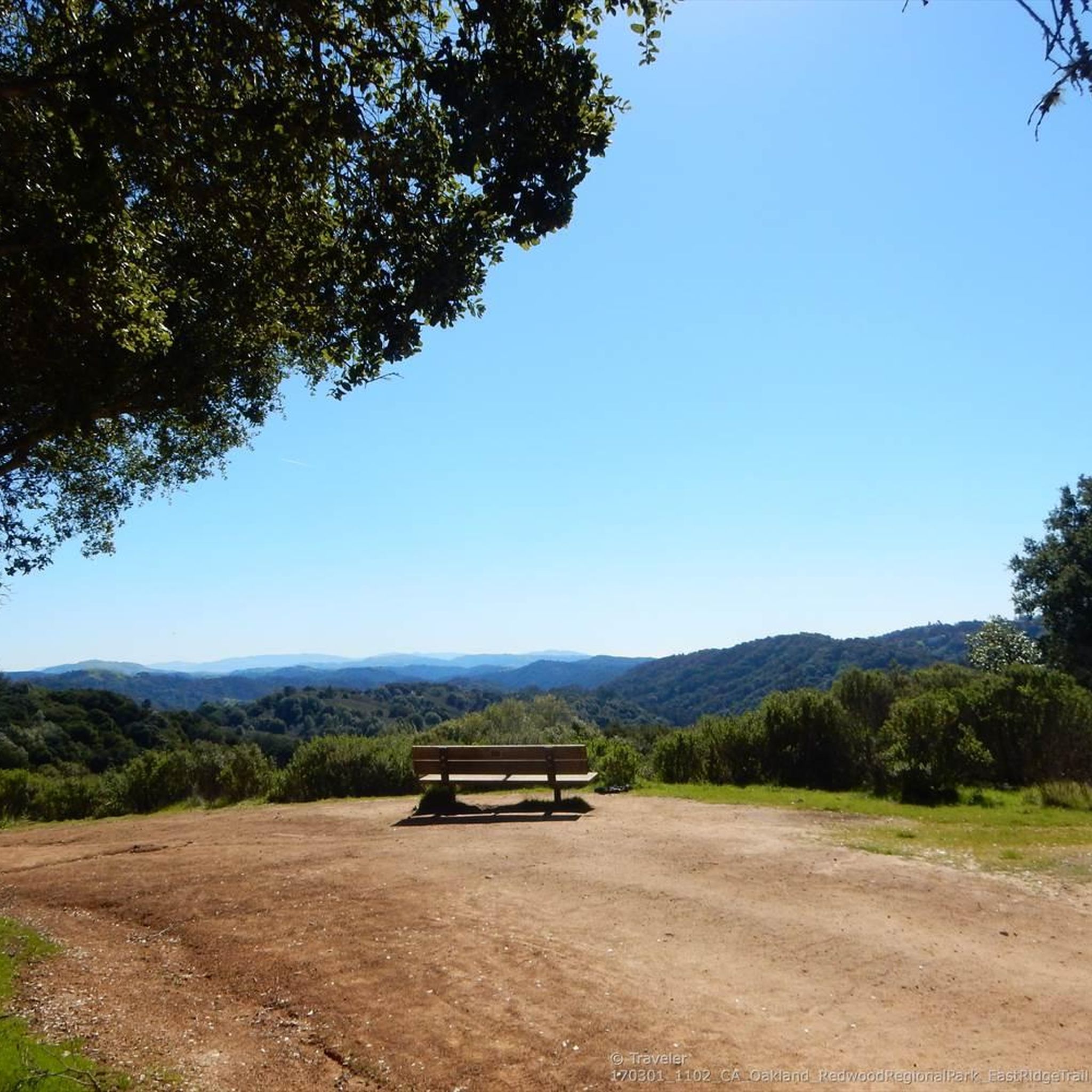
This road parallels the ridgeline above and have great views over the bay and surrounding hills.
0
0

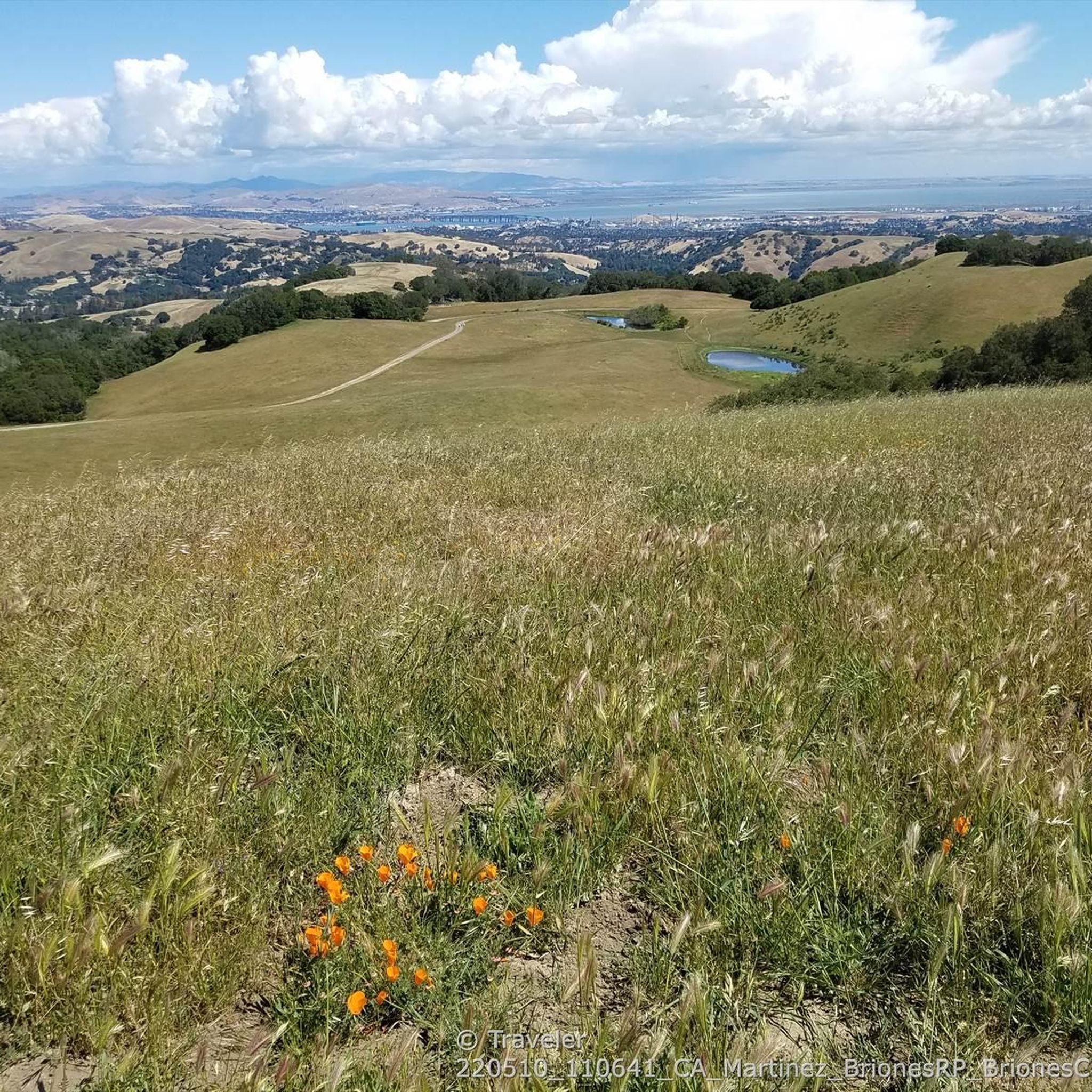
Wildcat Creek Trail is a packed-dirt trail that is about four miles long. One end of the trail is at Jewel Lake, near the Environmental Education Center, and the other end of the trail is at the Alvarado Staging Area. This trail offers great views of Wildcat Creek and has some picnic tables you could stop at along the side of the trail.
0
0


This trailhead begins at the Contra Costa Canal Trail junction. Most of the trail runs along the Ygnacio Canal, where you'll likely see plenty of ducks who inhabit the area. Most of the trail is paved, however, there is an unpaved section near Ygnacio Valley Rd.
0
0

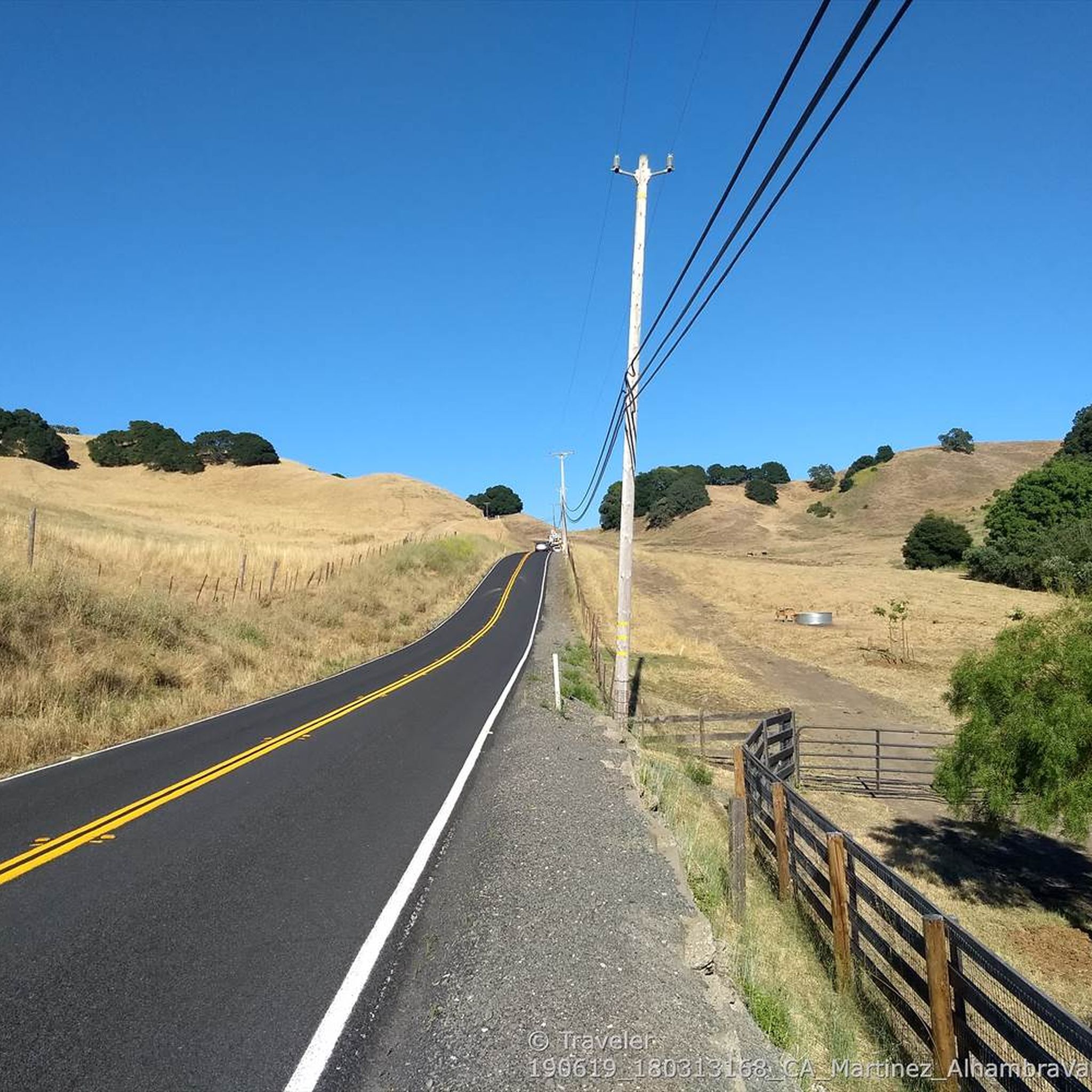
it's a dirt fire road you can see people, hikers, joggers, and other bike riders on. usually in good condition.
0
0
Frequently Asked Questions
How many gravel bike trails are available around Lafayette, California?
There are over 20 gravel bike trails around Lafayette, California, offering a variety of experiences for different skill levels. You'll find a mix of moderate and challenging routes through the East Bay hills.
What kind of terrain can I expect on gravel bike trails in Lafayette, California?
Gravel biking in Lafayette, California, is characterized by rolling hills and open spaces. Routes often combine paved sections with unpaved fire roads and gravel paths. You can expect varied terrain, from moderate climbs to significant elevation changes, with views of Mount Diablo and the surrounding areas.
Are there gravel bike trails suitable for beginners in Lafayette, California?
While many routes in Lafayette are considered difficult, there are options for those with good fitness. For example, the Heather Farm & Lake – Ygnacio Canal Trailhead loop from De La Salle High School is a moderate 17.8-mile trail that features a mix of paved and unpaved sections with manageable elevation gain.
What do other cyclists say about gravel biking in Lafayette, California?
The gravel biking routes in Lafayette are highly rated by the komoot community, with an average score of 4.0 stars from 4 reviews. Over 50 gravel bikers have used komoot to explore the varied terrain, often praising the challenging climbs and scenic views.
Are there any challenging gravel bike routes for experienced riders in Lafayette, California?
Yes, Lafayette offers several challenging routes for experienced gravel bikers. The Curry Point – Mount Diablo Summit loop from Diablo Foothills Regional Park is a difficult 40.0-mile path with over 4,610 feet (1,400 m) of elevation gain, offering extensive views from Mount Diablo. Another demanding option is the Skyline Boulevard – Grizzly Peak Boulevard loop from Lafayette, a 45.5-mile trail with over 4,050 feet (1,230 m) of ascent.
Can I find loop trails for gravel biking in Lafayette, California?
Yes, many gravel biking routes in Lafayette are designed as loops. Examples include the Heather Farm & Lake – Ygnacio Canal Trailhead loop, the Curry Point – Mount Diablo Summit loop, and the Skyline Boulevard – Grizzly Peak Boulevard loop, providing circular routes for your ride.
What attractions or landmarks can I see near the gravel bike trails in Lafayette?
While gravel biking, you can explore several nearby attractions. Consider visiting the Valle Verde Trailhead Lafayette, or for historical context, the Museum of the San Ramon Valley. For scenic views, the Grizzly Peak Vista Point is a notable highlight.
Are there any trails that combine paved and unpaved sections in Lafayette, California?
Yes, many gravel biking routes in Lafayette, California, are characterized by a mix of paved and unpaved sections. This allows for varied riding experiences, transitioning between smooth roads and more rugged fire roads or gravel paths, typical of the East Bay hills.
What is the typical duration for gravel bike rides in Lafayette, California?
Ride durations vary significantly based on the route and your fitness level. Moderate trails like the Heather Farm & Lake – Ygnacio Canal Trailhead loop can take around 2 hours. More challenging routes, such as the Skyline Boulevard – Grizzly Peak Boulevard loop, can extend to over 5 hours due to their length and significant elevation gain.
Are there gravel biking routes with good viewpoints in Lafayette, California?
Absolutely. The region's rolling hills often provide panoramic vistas. Routes like the Curry Point – Mount Diablo Summit loop offer extensive views from Mount Diablo. Additionally, the Grizzly Peak Vista Point is a popular highlight for scenic overlooks.
Are there any longer gravel bike routes for a full day out in Lafayette, California?
For a full day of gravel biking, consider routes that cover significant distances and elevation. The Skyline Boulevard – Grizzly Peak Boulevard loop from Lafayette is a 45.5-mile (73.3 km) trail that typically takes over 5 hours to complete, offering a substantial ride through the East Bay hills.
Most popular attractions around Lafayette

Get inspired with the komoot mobile app


Explore more
Browse the best Gravel rides in other regions.
