The best gravel rides around Sand City
5.0
(3)
85
riders
1
ride
Gravel biking around Sand City offers diverse terrain, from coastal paths to extensive inland trail networks. The region is characterized by unique sand dunes, which contribute to its distinctive natural beauty and varied riding surfaces. Adjacent to Sand City, Fort Ord National Monument provides a vast network of singletrack and fire roads, creating a dynamic environment for gravel cyclists. The Monterey Bay Coastal Recreation Trail also offers a smoother, scenic coastal option.
Best gravel bike trails around Sand City
- The…
Last updated: June 28, 2026
5.0
(3)
66
riders
Hard gravel ride. Very good fitness required. Mostly paved surfaces. Suitable for all skill levels.
5
riders
14.3km
01:18
300m
300m
Moderate gravel ride. Good fitness required. Mostly paved surfaces. Suitable for all skill levels.

Sign up for free
7
riders
Moderate gravel ride. Good fitness required. Mostly paved surfaces. Suitable for all skill levels.
3
riders
22.0km
01:49
430m
430m
Moderate gravel ride. Good fitness required. Mostly paved surfaces. Suitable for all skill levels.
3
riders
13.8km
01:07
300m
300m
Moderate gravel ride. Good fitness required. Mostly paved surfaces. Suitable for all skill levels.
Our route recommendations are based on thousands of hikes, rides, and runs completed by other people on komoot.
Start today with a free account
Your next adventure awaits.
Login or Signup
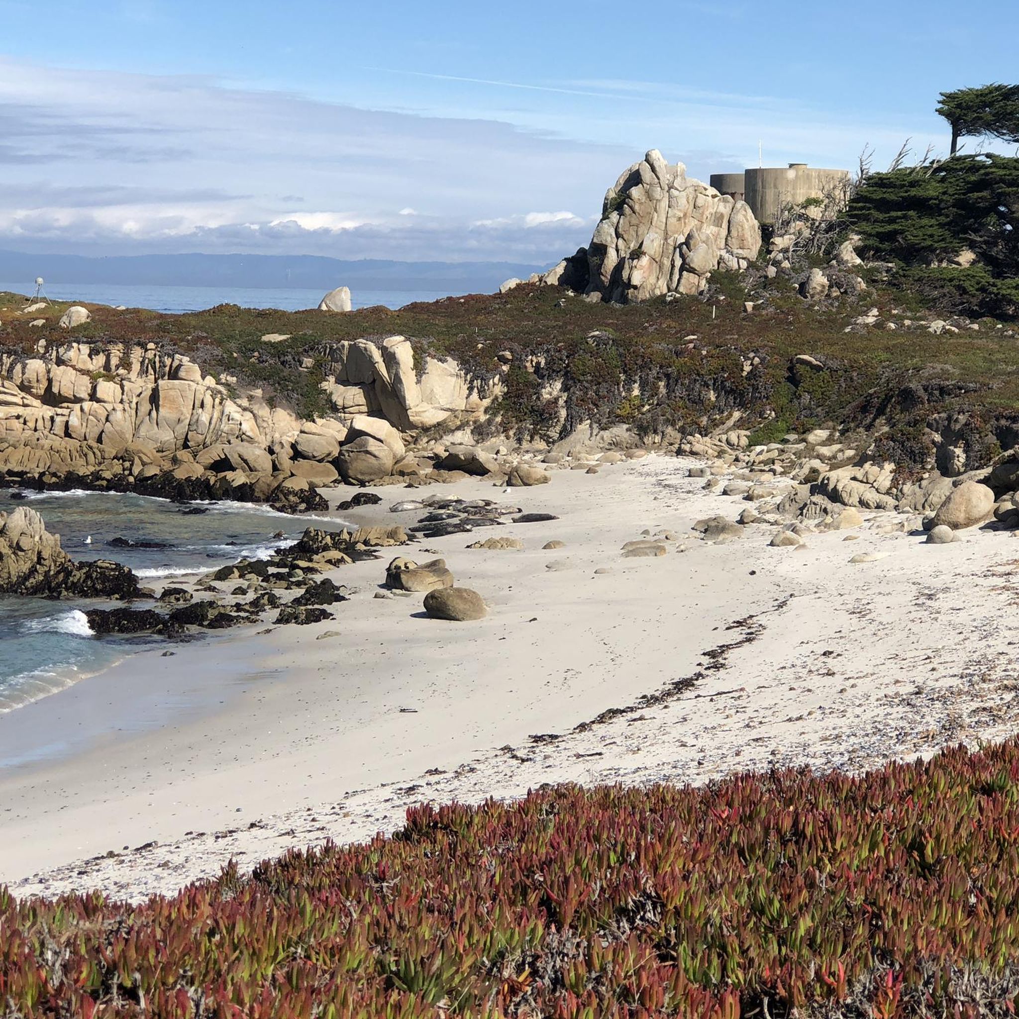
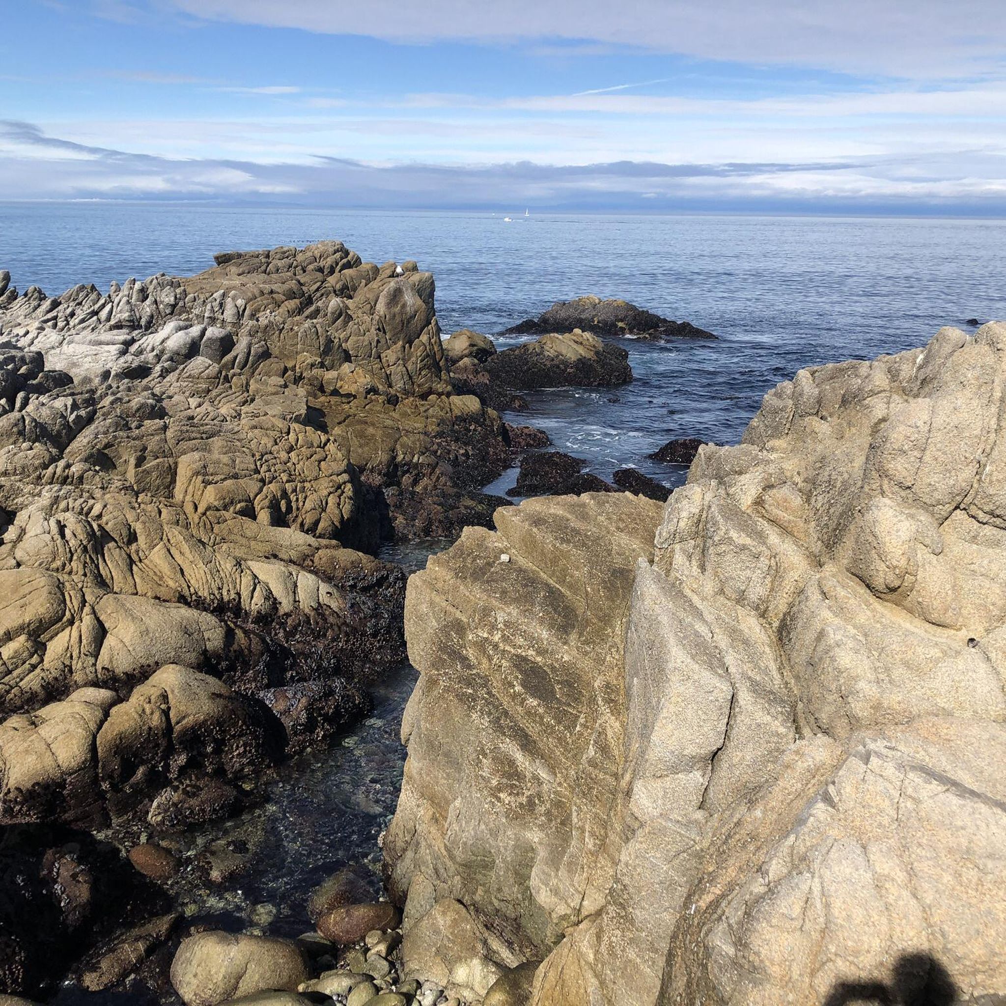
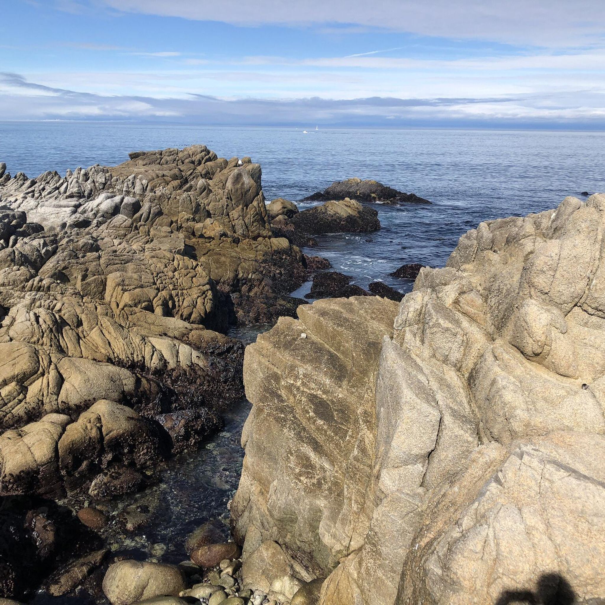
Tips from the Community

A quiet back road in Monterey with gentle curves and rolling terrain. It’s a solid alternative to busier routes, with open views and steady riding through ranchland that adds variety to local loops.
0
0
Mudhen Lake is a nice spot to pause and take in the rural scenery. The calm lake views make a pleasant break for stretching, refilling bottles, and enjoying a moment of stillness before rolling on.
0
0

Nice, small lake in Laguna Seca Recreational Area. It is right along Trail 71, so it is a great place for a quick break to enjoy the peaceful setting.
0
0

As the hill crests out you get sweeping panoramic views of the massive Fort Ord trail network. From here it is all downhill to Barloy Canyon and Mudhen Lake.
0
0
There is a simple gate that allows cyclists to pass with ease but bars the road from vehicular traffic. From here you can access the sprawling Fort Ord trail system.
0
0


At the top of Elliot Hill, you can see expansive views of the surrounding areas. It is also a junction for Little Moab Road and Trail 95.
0
0

Mudhen Lake in Laguna Seca Recreational Area beckons with its scenic allure, creating an ideal haven for biking enthusiasts. Immerse yourself in the breathtaking views of the tranquil lake.
0
0
Frequently Asked Questions
How many gravel bike trails are available around Sand City?
Komoot features over 5 gravel bike routes in the Sand City area, offering a variety of experiences for different skill levels. These include routes within the extensive network of Fort Ord National Monument and options that connect to the scenic Monterey Bay Coastal Recreation Trail.
What kind of terrain can I expect on gravel bike trails near Sand City?
The terrain around Sand City is quite diverse. You'll find a mix of surfaces, particularly within the Fort Ord National Monument, which offers singletrack, doubletrack, and fire roads. These can range from firm, packed dirt to sandy sections, especially in drier conditions. The unique sand dunes contribute to this varied landscape. For a smoother ride, sections of the Monterey Bay Coastal Recreation Trail provide a more accessible, paved option with stunning ocean views.
Are there any family-friendly gravel biking options in the Sand City area?
While many routes in Fort Ord National Monument can be challenging, the Monterey Bay Coastal Recreation Trail offers a very accessible and scenic option suitable for families. It's a paved path that provides stunning ocean views and connects to various attractions, making it a great choice for a relaxed ride. For those looking for a shorter, moderate gravel experience, the Wolf Hill – Jack's Road loop in Fort Ord is 8.9 miles and features varied surfaces.
Can I bring my dog on gravel bike rides around Sand City?
Regulations regarding dogs on trails can vary. While the Monterey Bay Coastal Recreation Trail generally allows leashed dogs, specific trails within Fort Ord National Monument may have different rules. It's always best to check the specific trail regulations or the Fort Ord National Monument website before heading out with your canine companion to ensure a pleasant and compliant experience.
What are some scenic highlights or landmarks I can see while gravel biking?
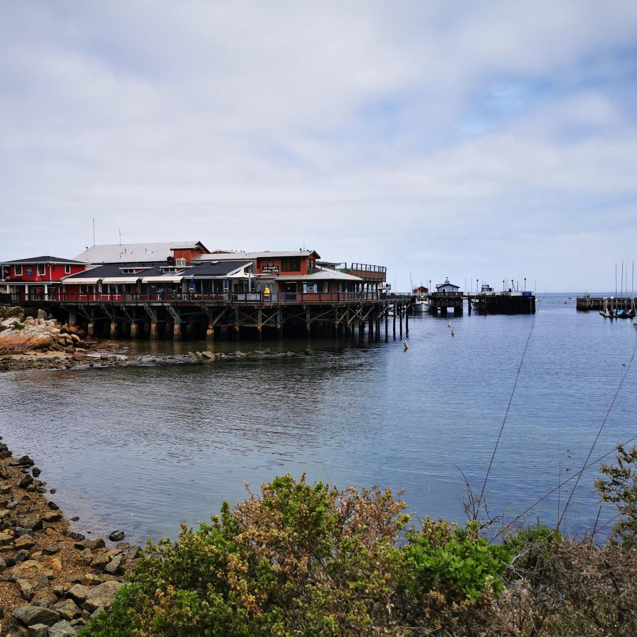
Gravel biking around Sand City offers access to several scenic spots. The Monterey Bay Coastal Recreation Trail provides continuous ocean views. Within Fort Ord National Monument, you'll encounter diverse landscapes, including rolling hills and varied vegetation. Nearby attractions accessible from the coastal trail include Fisherman's Wharf and Cannery Row in Monterey, offering cultural and historical diversions.
Are there any circular gravel bike routes available?
Yes, many of the gravel routes in the Sand City area are designed as loops. For example, the Jack's Road – Fort Ord ⛰️🚵 MTB trailhead loop is a popular 26.6-mile circular route exploring Fort Ord. Another option is the Gigling Road gate – Fort Ord ⛰️🚵 MTB trailhead loop, which is 18.1 miles and also takes you through Fort Ord's extensive network.
Where can I park my car when accessing gravel trails in Sand City?
For trails within Fort Ord National Monument, you can often find parking near trailheads or designated access points, such as those near WeatherTech Raceway Laguna Seca or California State University Monterey Bay, which serve as starting points for several komoot tours. For the Monterey Bay Coastal Recreation Trail, various public parking lots are available along the coast in Sand City and neighboring towns.
Is public transport an option to reach gravel biking areas?
Public transport options to directly access the more remote gravel trails within Fort Ord National Monument might be limited. However, the Monterey-Salinas Transit (MST) system serves the Sand City and Monterey Bay area, which could get you close to sections of the Monterey Bay Coastal Recreation Trail. Check the MST website for routes and schedules that accommodate bikes.
What is the best time of year to go gravel biking in Sand City?
Sand City generally enjoys a mild climate, making gravel biking enjoyable year-round. However, the spring and fall months often offer the most pleasant temperatures and less chance of extreme weather. Winter can bring rain, which can make some sandy sections of Fort Ord National Monument firmer and more rideable, but also potentially muddy. Summer can be warm, especially inland, so early morning rides are recommended.
Are there any permits required for gravel biking in the Monterey Peninsula area?
Generally, no specific permits are required for gravel biking on public trails within Fort Ord National Monument or the Monterey Bay Coastal Recreation Trail. However, it's always a good practice to check the official websites for any specific park or monument you plan to visit, as regulations can change.
What do other gravel bikers say about the trails in Sand City?
The gravel biking routes around Sand City are highly rated by the komoot community, with an average score of 5.0 stars from more than 2 reviews. Riders often praise the diverse terrain, from coastal paths to the extensive network of Fort Ord National Monument, and the beautiful scenery. The variety of routes caters to different ability levels, making it a popular destination for many.
Are there any cafes or places to eat near the gravel biking trails?
Sand City itself has a growing artistic and green community with local establishments. Additionally, the Monterey Bay Coastal Recreation Trail connects Sand City to Monterey and Pacific Grove, where you'll find numerous cafes, restaurants, and pubs, particularly around Fisherman's Wharf and Cannery Row, perfect for a post-ride refuel.
What is the longest gravel bike route available in the area?
The longest gravel bike route highlighted in the area is the Jack's Road – Fort Ord ⛰️🚵 MTB trailhead loop from WeatherTech Raceway Laguna Seca. This challenging route spans 26.6 miles (42.9 km) and explores the varied terrain of Fort Ord National Monument, typically taking around 4 hours and 10 minutes to complete.
Most popular attractions around Sand City

Get inspired with the komoot mobile app


Explore more
Browse the best Gravel rides in other regions.
