The best gravel rides in Cleveland National Forest
4.9
(6)
110
riders
17
rides
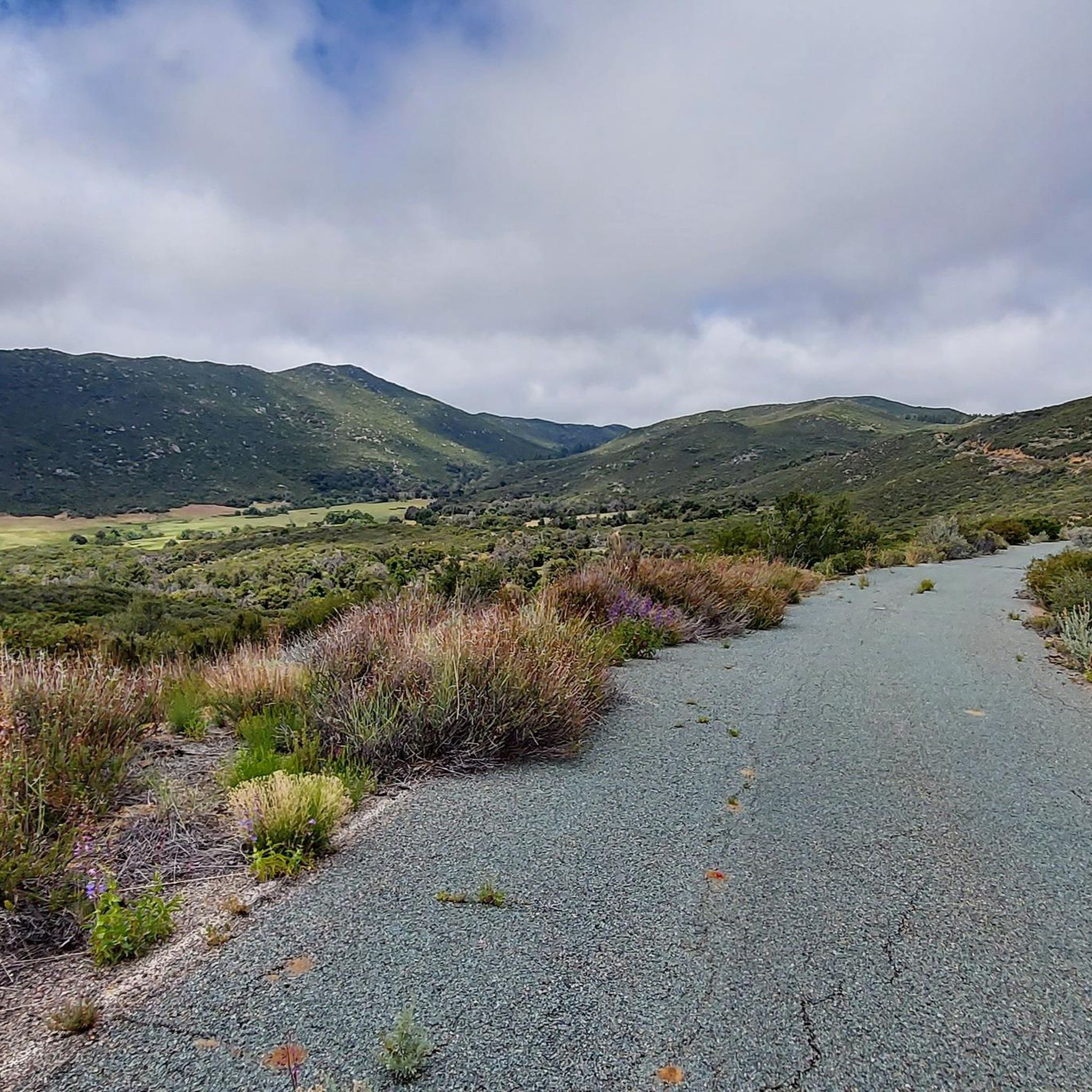
Gravel biking in Cleveland National Forest offers diverse landscapes across over 460,000 acres, spanning chaparral canyons, arroyos, and tree-covered mountains. The terrain features a mix of mostly paved surfaces and robust dirt roads, often with significant elevation changes. Riders can explore riparian areas near water sources and higher mountain elevations, with routes suitable for various skill levels.
Best gravel bike trails in Cleveland National Forest
- The most popular gravel bike trail is Waterworks Flow Trail – Trabuco Creek loop from…
Last updated: June 28, 2026
5
riders
21.3km
01:50
310m
310m
Moderate gravel ride. Good fitness required. Mostly paved surfaces. Suitable for all skill levels.
17
riders
Moderate gravel ride. Good fitness required. Mostly paved surfaces. Suitable for all skill levels.

Sign up for free
5.0
(1)
17
riders
100km
08:18
2,120m
2,120m
Hard gravel ride. Very good fitness required. Mostly paved surfaces. Suitable for all skill levels.
5
riders
40.8km
03:37
940m
940m
Hard gravel ride. Very good fitness required. Mostly paved surfaces. Suitable for all skill levels.
4
riders
72.5km
05:28
1,290m
1,290m
Hard gravel ride. Very good fitness required. Mostly paved surfaces. Suitable for all skill levels.
Get access to more routes and recommendations from other explorers.
Sign up for free
Already have an account?
Our route recommendations are based on thousands of hikes, rides, and runs completed by other people on komoot.
Start today with a free account
Your next adventure awaits.
Login or Signup
Popular around Cleveland National Forest

Bikepacking California — Into The Desert

Pacific Crest Trail from Mexico to Canada – 4,200 kilometres of wilderness
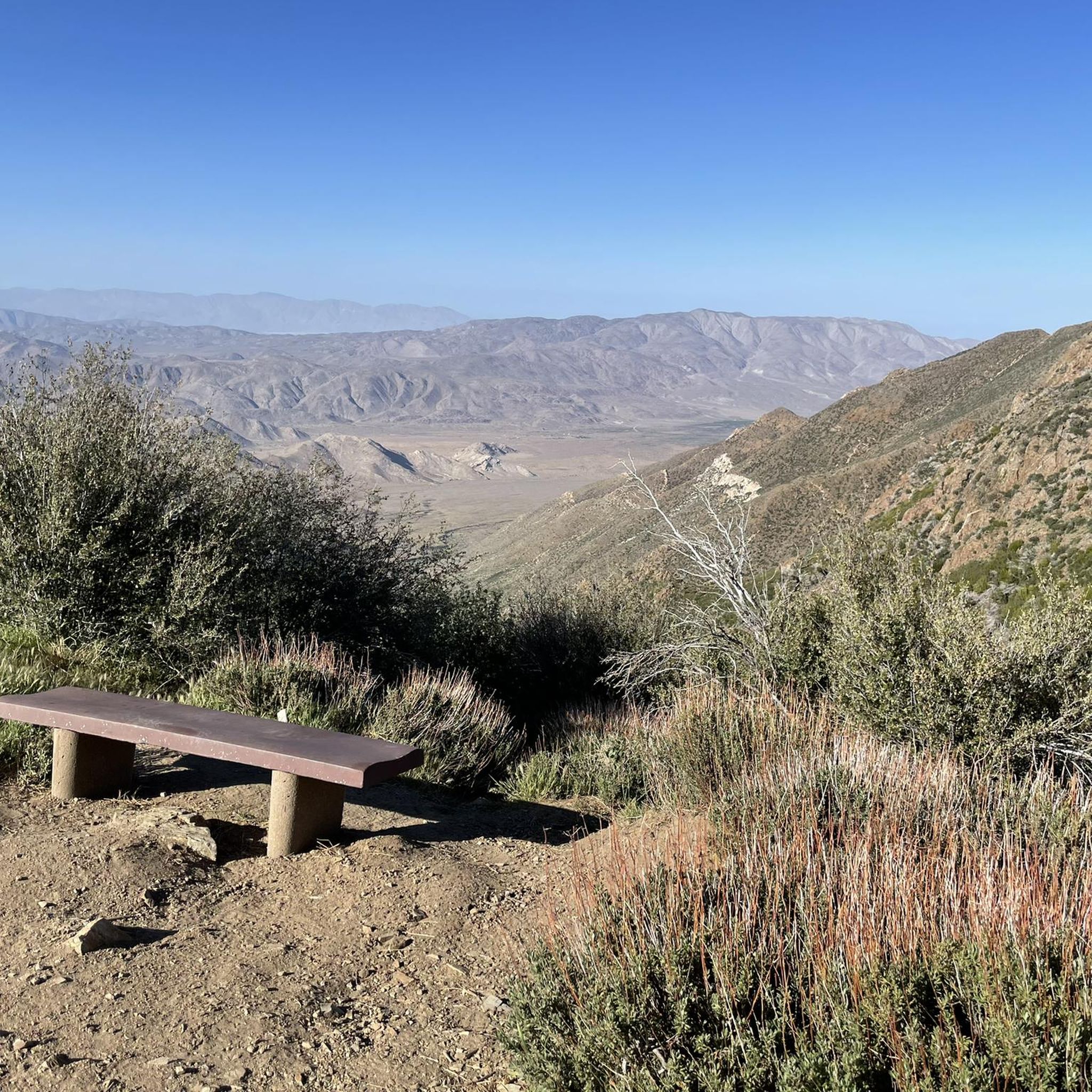
Hiking in Cleveland National Forest
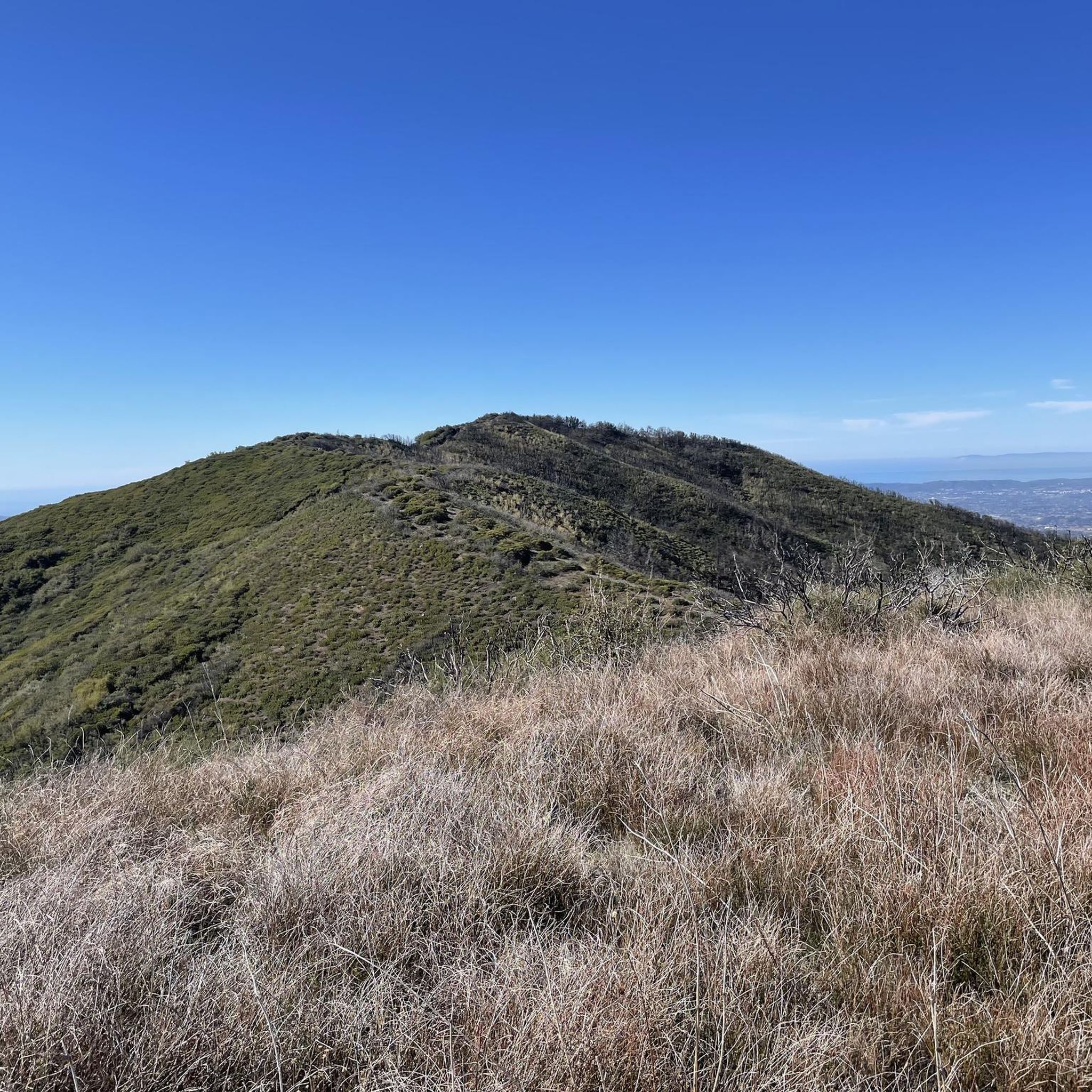
Running Trails in Cleveland National Forest
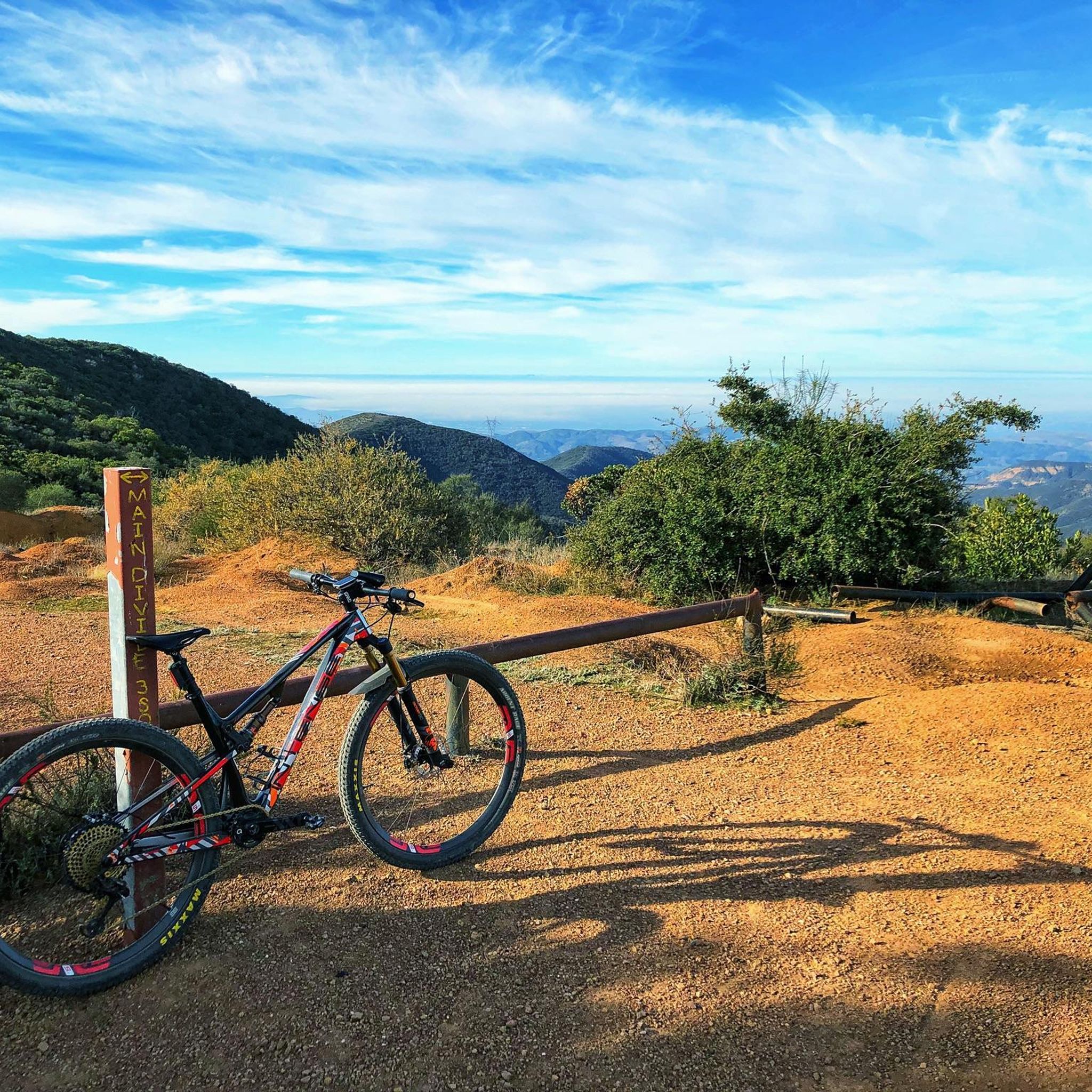
MTB Trails in Cleveland National Forest
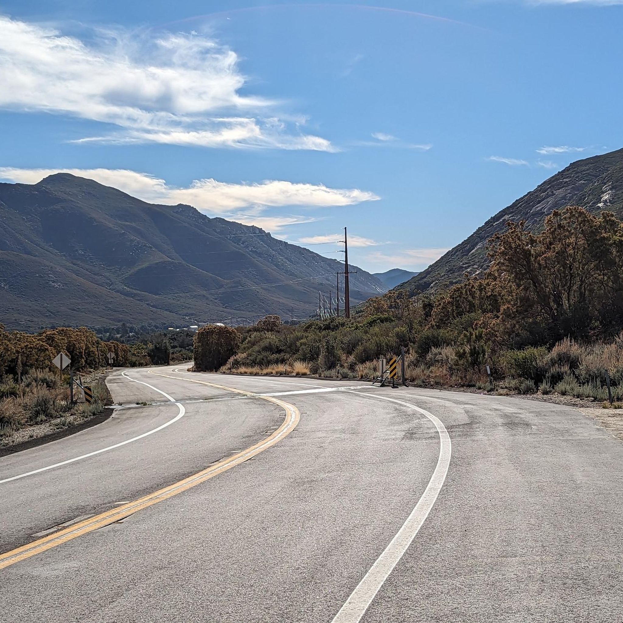
Road Cycling Routes in Cleveland National Forest
Cycling in Cleveland National Forest
Other adventures in Cleveland National Forest


Tips from the Community

You can explore a variety of singletrack and wide gravel paths through the park. Some trails are shaded while others take you out above the canyon with vistas of Orange County. There are restrooms, picnic tables, and camping available. The park charges a $3 fee.
0
0

The Arroyo Trabuco Trail crosses the Trabuco Creek here (and a good number of times along the route). Depending on the season and conditions, you may well find that bombing through is not an option, so just be prepared for some wet feet.
0
0

A quiet pull-off spot just off the highway, surrounded by tall pines and cooler air. The pond itself is small but scenic—a nice excuse to stop, stretch your legs, and enjoy a quick breather before continuing the climb. Not much traffic back here, so it feels like a peaceful break from the road.
0
0

This view of Sierra Peak showcases one of the highest and most easily identifiable peaks in northern Orange County. It stands at 3,045 feet above sea level.
1
0

Long and smooth gravel climb. Beautiful views into the valley, but the climb is very exposed with zero shade so be sure to plan acording to weather. Between Via Arturo and Chiquita Road, there is an entrance to a ranch with a railroad crossing sign. There is a public water spigot on the left side.
0
0

Bring your legs. Grade is steady with no surprises.
0
0

Situated up with the cell towers at 3,045 feet, Sierra Peak offers awesome views of Orange County and the surrounding mountains. Because it's such a long trek from car to summit, you'll likely have most of the route and the peak to yourself.
0
0
The trail is a wide dirt road through what feels like remote terrain, despite being quite close to Orange County. There is some loose rock that could make the descent mildly technical, but otherwise, this is a fairly steady route to Mini Moab and Sierra.
0
0
Frequently Asked Questions
How many gravel bike trails are available in Cleveland National Forest?
Cleveland National Forest offers a selection of 20 gravel bike routes, with the majority (16) rated as difficult, and 4 routes considered moderate. This variety ensures options for experienced riders seeking a challenge, as well as those looking for a less strenuous ride.
What kind of terrain can I expect on gravel bike trails in Cleveland National Forest?
The terrain in Cleveland National Forest is highly diverse, ranging from chaparral canyons and arroyos to tree-covered mountains. You'll encounter a mix of mostly paved surfaces and robust dirt roads. Some routes feature significant elevation changes, and certain sections may require good to very good fitness or advanced riding skills.
Are there any family-friendly gravel biking options in Cleveland National Forest?
While many routes in Cleveland National Forest are rated difficult, there are moderate options available. For a less strenuous experience, consider routes like the Waterworks Flow Trail – Trabuco Creek loop, which is 18.5 miles long with moderate elevation gain. It's always recommended to check the specific route details for distance and elevation to ensure it suits your family's skill level.
What are some notable natural features or landmarks I might see while gravel biking?
Cleveland National Forest is rich in natural beauty and landmarks. You might encounter features like the historic Viejas Grade, the scenic Boulder Creek area, or the expansive views from Engineers Road. For specific points of interest, consider routes that pass by Black Star Falls (especially after rain) or offer views of Lake Cuyamaca. Peaks like Sierra Peak Summit and Sitton Peak also provide stunning vistas.
What is the best time of year to go gravel biking in Cleveland National Forest?
The warm, dry Mediterranean climate of Cleveland National Forest allows for year-round recreation. However, cooler months are often preferred for activities like gravel biking to avoid the intense summer heat. Spring and fall typically offer the most pleasant temperatures for longer rides.
Are there any challenging long-distance gravel routes for experienced riders?
Absolutely. For experienced riders seeking a significant challenge, the Lake Cuyamaca – Camp Hual-Cu-Cuish Ruins loop from Alpine is a difficult 62-mile route with over 2,100 meters of elevation gain, offering extensive views and historical points of interest. Another demanding option is the Maple Springs gate loop from Black Star Canyon, a 29.2-mile difficult trail with nearly 1,200 meters of climbing.
What do other gravel bikers say about the trails in Cleveland National Forest?
The gravel biking routes in Cleveland National Forest are highly regarded by the komoot community, with an average rating of 4.6 stars from over 5 reviews. Riders often praise the diverse landscapes, challenging climbs, and the opportunity to explore varied terrain, from chaparral canyons to mountain roads.
Can I find any historical sites along the gravel biking trails?
Yes, the forest has historical significance. For instance, the Lake Cuyamaca – Camp Hual-Cu-Cuish Ruins loop passes by historical ruins. Additionally, you can find specific historical highlights like Beeks Place, which offers a glimpse into the region's past.
Are there any loop trails for gravel biking in the forest?
Many of the gravel biking routes in Cleveland National Forest are designed as loops, providing a convenient way to explore without retracing your steps. Examples include the Picnic Rock Viewpoint – Sierra Peak Summit loop and the Coast to Crest Trail – Lake Hodges loop, both offering distinct experiences.
What kind of wildlife might I encounter while gravel biking?
Cleveland National Forest is home to diverse wildlife. Depending on the ecosystem you're riding through—from chaparral to oak and conifer forests, or riparian areas—you might spot mountain lions, bobcats, mule deer, foxes, and a variety of native and migratory birds. Always be aware of your surroundings and respect wildlife habitats.
Are there any specific viewpoints or scenic spots accessible by gravel bike?
Yes, many routes offer incredible views. The Picnic Rock Viewpoint – Sierra Peak Summit loop, for example, is named for its scenic outlooks. Other routes, particularly those with significant elevation gain, often provide expansive vistas of the surrounding mountains, canyons, and even glimpses of Anza Borrego State Park.
Most popular routes in Cleveland National Forest
Most popular attractions in Cleveland National Forest

Get inspired with the komoot mobile app


Explore more
Browse the best Gravel rides in other regions.
