The best gravel rides in Medicine Bow-Routt National Forest
4.7
(6)
551
riders
43
rides
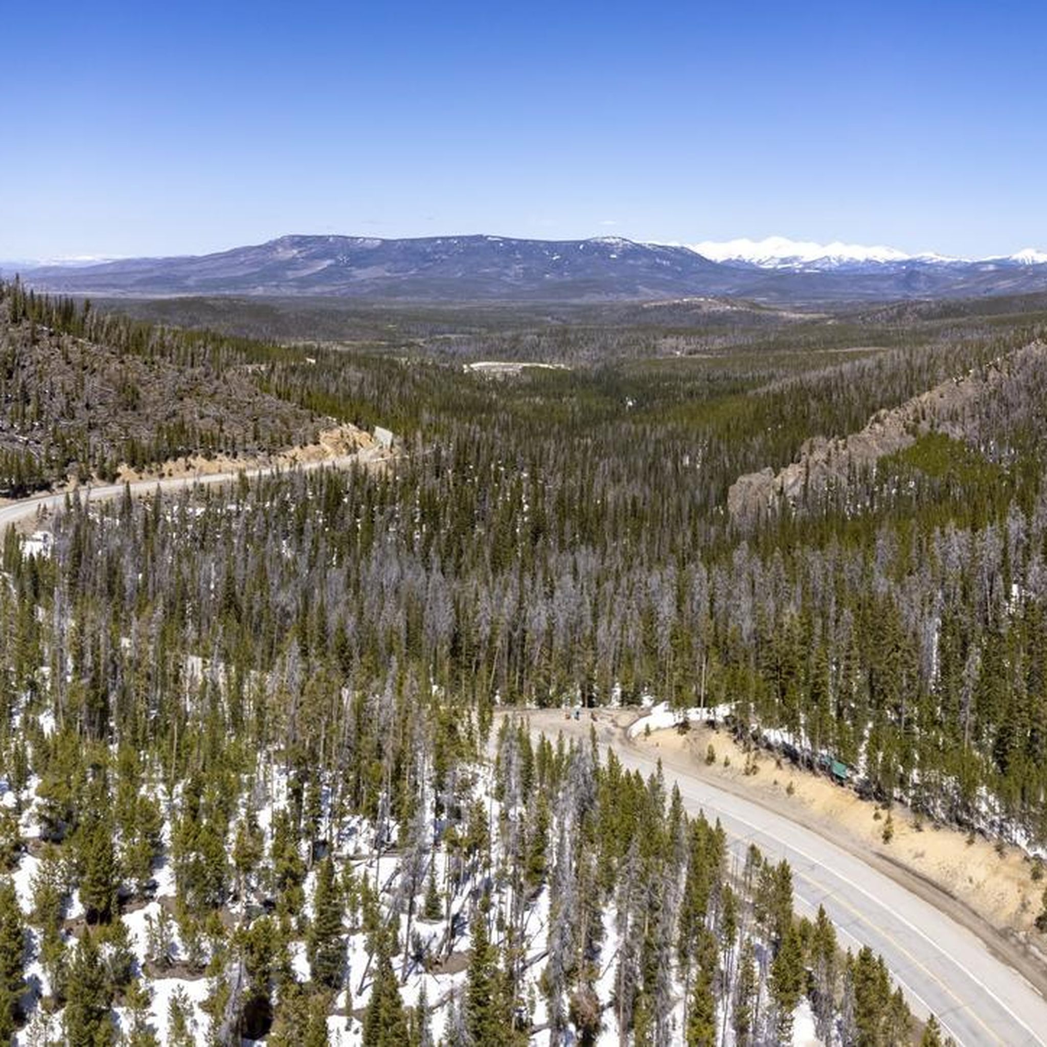
Gravel biking in Medicine Bow-Routt National Forest spans over 2.2 million acres, offering a diverse topography for riders. The region features elevations ranging from 5,500 to nearly 13,000 feet, providing varied terrain from rolling foothills to higher-elevation peaks. An extensive network of gravel roads and trails winds through forests and along rivers, catering to different skill levels. This landscape includes diverse ecosystems, with the Continental Divide splitting the forest.
Best gravel bike trails in Medicine Bow-Routt National Forest
- The most popular gravel bike trail is Yampa River – Hot Springs loop from Steamboat Springs, a 57.9 miles (93.2 km) trail that takes 5 hours 48 minutes to complete. This difficult route explores river valleys and natural hot springs.
- Another top favourite among local gravel bikers is Hot Springs – Yampa River Core Trail loop from Steamboat Springs, a difficult 24.8 miles (39.9 km) path. This route combines riverside riding with access to hot springs.
- Local gravel bikers also love the Hot Springs – Howelsen Ski Jump Park loop from Steamboat Springs, a 22.0 miles (35.4 km) trail leading through varied terrain, often completed in about 2 hours 48 minutes.
- Gravel biking in Medicine Bow-Routt National Forest is defined by extensive gravel roads, diverse ecosystems, and varied elevations. The network offers options for different ability levels, from moderate paths to more difficult climbs.
- The routes in Medicine Bow-Routt National Forest are highly rated by the komoot community with an average score of 5.0 stars from over 5 reviews. More than 500 gravel bikers have used komoot to explore Medicine Bow-Routt National Forest's varied terrain.
Last updated: August 7, 2026
21
riders
40.2km
02:18
280m
280m
Moderate gravel ride. Good fitness required. Mostly paved surfaces. Suitable for all skill levels.
9
riders
Hard gravel ride. Very good fitness required. Mostly paved surfaces. Suitable for all skill levels.

Sign up for free
9
riders
115km
07:43
1,470m
1,470m
Hard gravel ride. Very good fitness required. Mostly paved surfaces. Suitable for all skill levels.
12
riders
60.9km
03:39
550m
550m
Hard gravel ride. Very good fitness required. Mostly paved surfaces. Suitable for all skill levels.
16
riders
27.9km
01:36
260m
270m
Moderate gravel ride. Good fitness required. Mostly paved surfaces. Suitable for all skill levels.
Get access to more routes and recommendations from other explorers.
Sign up for free
Already have an account?
Our route recommendations are based on thousands of hikes, rides, and runs completed by other people on komoot.
Start today with a free account
Your next adventure awaits.
Login or Signup
Popular around Medicine Bow-Routt National Forest

The Continental Divide Trail — Across the sky of America
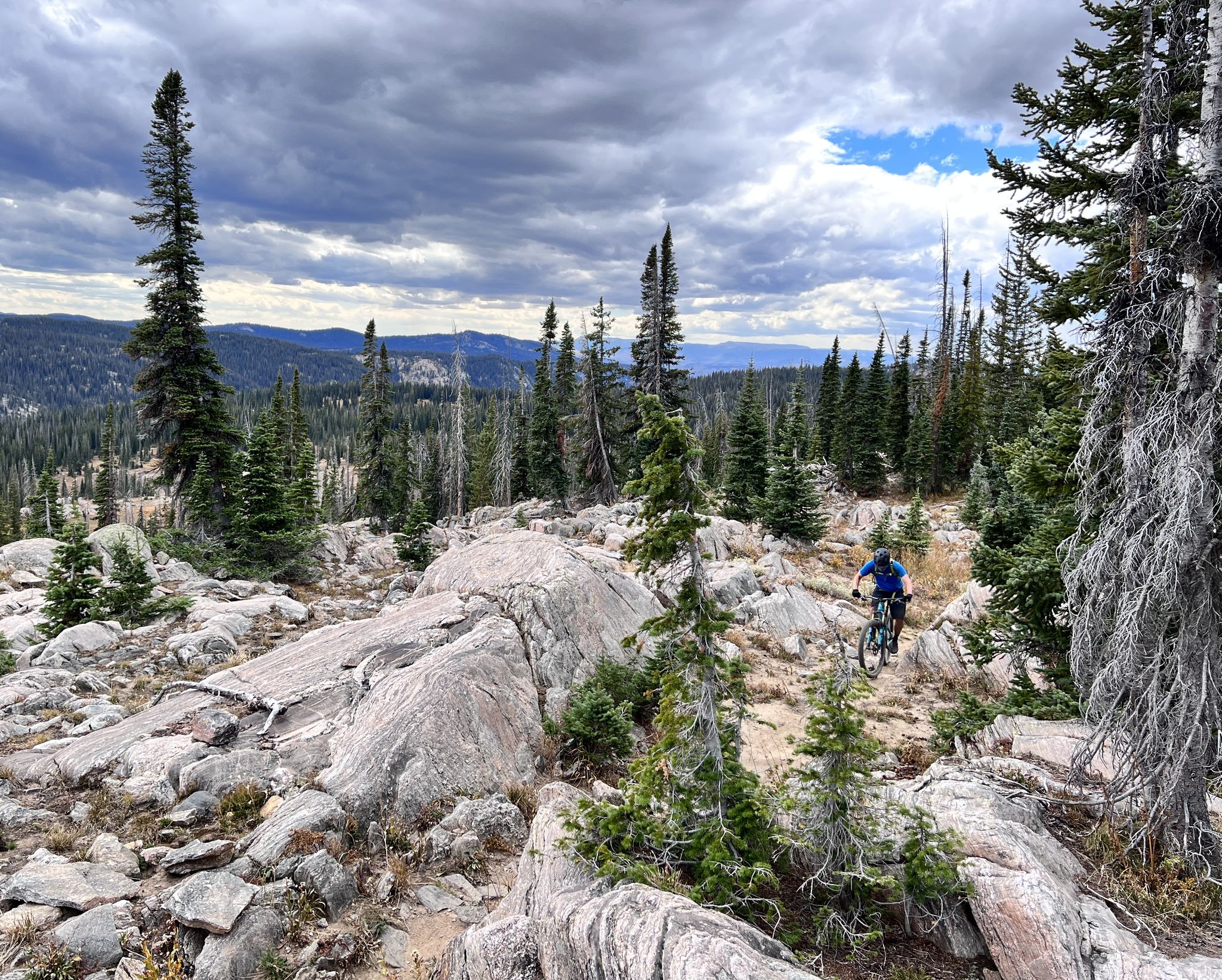
Steamboat Springs – unique singletrack loops in Colorado
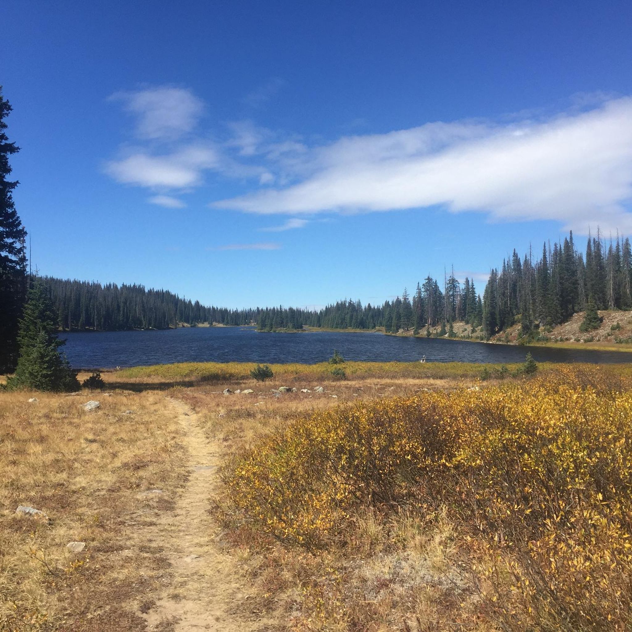
Hiking in Medicine Bow-Routt National Forest
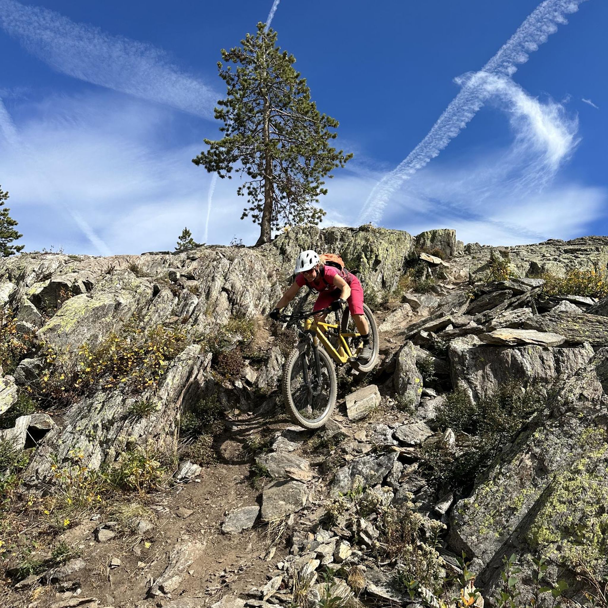
MTB Trails in Medicine Bow-Routt National Forest
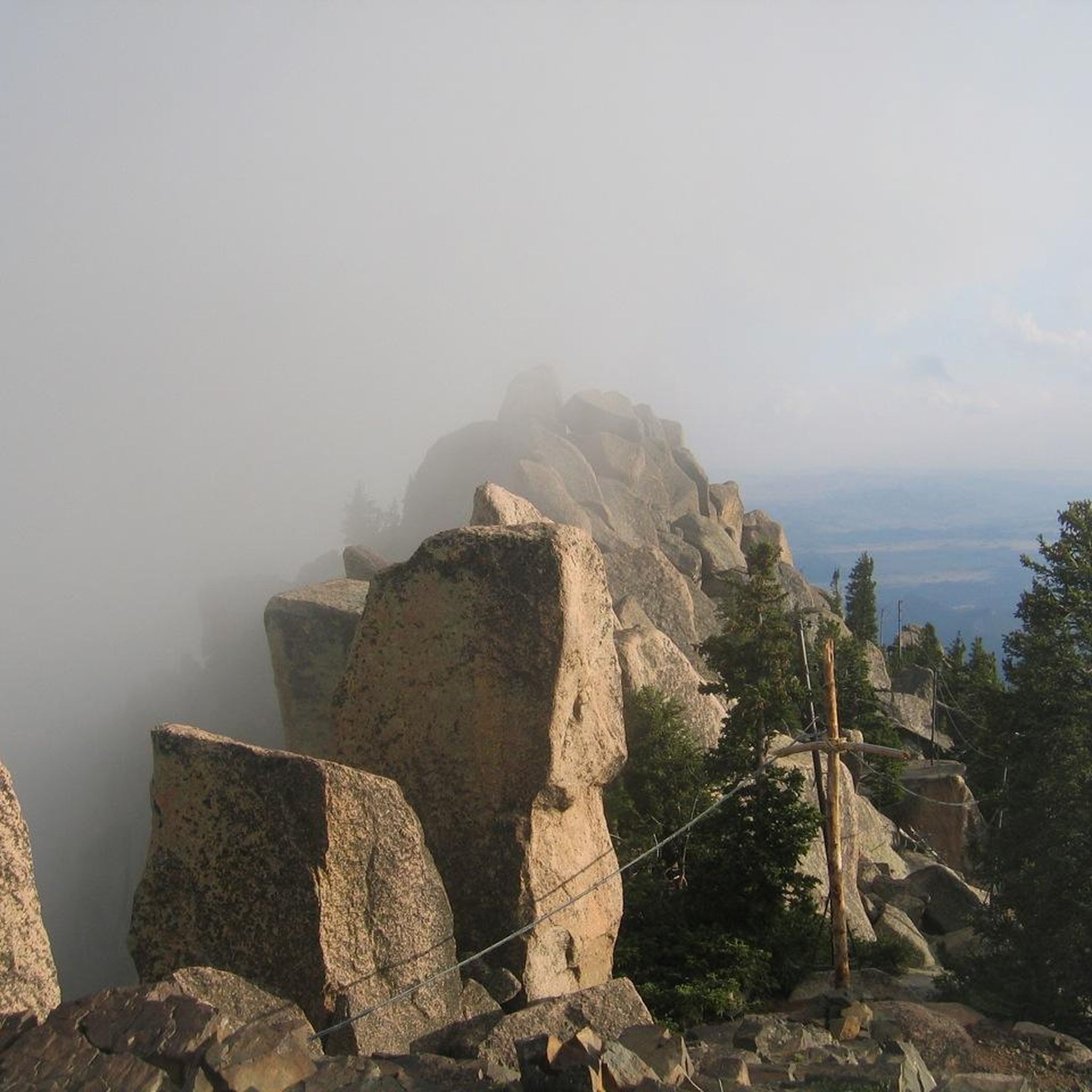
Running Trails in Medicine Bow-Routt National Forest
Road Cycling Routes in Medicine Bow-Routt National Forest
Cycling in Medicine Bow-Routt National Forest
Other adventures in Medicine Bow-Routt National Forest


Tips from the Community

Great campground on the pass, but filter their green 'drinking' water. Dry toilets, picnic tables, fire ring.
2
0

Steamboat Springs is situated at an elevation of 6,700 feet in northwest Colorado. It is known as Ski Town USA, boasting two ski resorts within the town. Steamboat features a historic downtown area with local businesses, restaurants, and geothermal hot springs. Additionally, the Yampa River flows right through downtown.
0
0
Sweetwater Spring has a temperature of 64°F. Sweetwater is one of a number springs that feed Lake Spring. To help dry some of the surrounding marshy land, this lake was created by making a bowl into which a number of springs bubble up and into. While you are here, look on the surface and see if you can tell how many springs flow into Lake Spring. Information and map of all the springs at https://hotspringsguide.net/steamboat-springs-hot-springs-maps-information
1
0
Great paved access from Sioux Trail to this overlook at the boat ramp. Staging parking area serves as a good starting point for rides around Stagecoach Reservoir
0
0
Well-chosen location to create a large reservoir with a small efficient dam. There's a good trailhead parking staging area. Smooth biking across the dam, then continuing on decent gravel to the south.
0
0

Nine mineral springs around Steamboat Springs have been designated as local landmarks, thanks to their cultural and historical significance in this place. This is one of those springs.
0
0
One of the springs that gives this city its name — although the flow of this particular spring seems to have been disrupted by work the railroad did on nearby land.
0
0
Frequently Asked Questions
How many gravel bike trails are available in Medicine Bow-Routt National Forest?
Medicine Bow-Routt National Forest offers over 35 gravel bike trails, catering to a range of abilities from moderate to difficult. The extensive network of gravel roads and trails winds through diverse terrain, providing ample opportunities for exploration.
What kind of terrain can I expect on gravel bike trails in Medicine Bow-Routt National Forest?
The terrain in Medicine Bow-Routt National Forest is highly varied, with elevations ranging from 5,500 to nearly 13,000 feet. You'll encounter everything from rolling foothills to higher-elevation peaks, with routes featuring a mix of smooth gravel roads and more technical, rugged sections. The topography is often described as 'rolling enough to be interesting, but not so steep' that it requires extreme fitness for many rides.
Are there any family-friendly gravel biking options in the forest?
While the guide highlights routes with moderate to difficult ratings, the forest's diverse terrain includes sections that are less steep and more accessible. Look for trails described as 'rolling enough to be interesting' which can be suitable for families seeking a relaxed ride through beautiful scenery. Always check individual route details for specific difficulty and elevation profiles to ensure it matches your family's skill level.
What are some notable natural features or landmarks I can see while gravel biking?
The forest is rich with natural beauty. You can explore areas like the Rabbit Ears Pass, or experience the breathtaking views from Medicine Bow Peak in the Snowy Range. Many routes also follow river valleys, such as the Yampa River, offering scenic riverside riding. The unique rock outcroppings of Vedauwoo are also a significant natural spectacle within the broader forest area.
What is the best time of year to go gravel biking in Medicine Bow-Routt National Forest?
The best time for gravel biking is typically from late spring through early autumn, when trails are clear of snow and weather conditions are generally mild. Due to the varied elevations, some higher-altitude routes may remain snow-covered later into the spring. Always check local conditions before heading out, especially for routes crossing mountain passes.
Are there any circular gravel bike routes available?
Yes, many of the popular gravel bike routes in Medicine Bow-Routt National Forest are designed as loops. For example, the Yampa River – Hot Springs loop from Steamboat Springs and the Hot Springs – Yampa River Core Trail loop from Steamboat Springs are excellent circular options that allow you to start and end at the same point.
What do other gravel bikers enjoy most about the trails here?
The gravel biking experience in Medicine Bow-Routt National Forest is highly rated by the komoot community, with an average score of 5.0 stars. Riders often praise the extensive network of gravel roads, the diverse and scenic landscapes, and the opportunity for exploration away from traffic. The varied elevations and ecosystems also offer a rewarding challenge and beautiful vistas.
Are there any specific routes that explore river valleys or hot springs?
Absolutely. Several routes are known for their proximity to natural hot springs and river valleys. The Hot Springs – Yampa River loop from Steamboat Springs is a great example, combining scenic river riding with access to the area's natural hot springs.
Is public transport available to access gravel biking trailheads?
Public transportation options directly into the more remote areas of Medicine Bow-Routt National Forest are limited. Most visitors typically rely on personal vehicles to reach trailheads. However, for routes originating from towns like Steamboat Springs, local transit might offer some access to starting points within the town itself. It's best to check local transit schedules for specific town-based services.
Do I need a permit for gravel biking in Medicine Bow-Routt National Forest?
Generally, permits are not required for gravel biking on established roads and trails within Medicine Bow-Routt National Forest. However, specific regulations may apply to certain wilderness areas or for commercial activities. Always check the official U.S. Forest Service website or local ranger district for the most current information regarding permits or restrictions, especially if planning to venture into designated wilderness areas.
Are there any visitor centers or facilities within the forest?
Yes, Medicine Bow-Routt National Forest has several visitor centers and ranger stations that can provide maps, information on current trail conditions, and local regulations. These facilities are excellent resources for planning your gravel biking trip and learning more about the area's diverse ecosystems and attractions. Check the U.S. Forest Service website for locations and operating hours.
Can I find cafes or pubs near the gravel biking trails?
While the forest itself is largely undeveloped, towns bordering the Medicine Bow-Routt National Forest, such as Steamboat Springs, Centennial, and Saratoga, offer various amenities including cafes, pubs, and accommodation. For routes starting near these towns, you'll likely find options for refreshments and meals before or after your ride. For more remote trails, it's advisable to carry all necessary supplies with you.
Most popular routes in Medicine Bow-Routt National Forest
Most popular attractions in Medicine Bow-Routt National Forest

Get inspired with the komoot mobile app


