The best gravel rides around Maugerville
40
riders
4
rides
Gravel biking around Maugerville offers routes primarily situated within the Saint John River valley, characterized by flat to gently rolling terrain. The landscape features a mix of agricultural land, riverside paths, and sections of forested trails. Elevation changes are generally modest, with some routes incorporating short, gradual climbs. The region's gravel bike trails often follow established pathways and former rail lines, providing a consistent surface for cycling.
Best gravel bike trails around Maugerville
- The most popular gravel bike trail is…
Last updated: October 5, 2026
19
riders
39.7km
02:07
250m
240m
Moderate gravel ride. Good fitness required. Mostly paved surfaces. Suitable for all skill levels.
15
riders
42.2km
02:22
250m
250m
Moderate gravel ride. Good fitness required. Mostly paved surfaces. Suitable for all skill levels.

4
riders
65.4km
04:10
590m
590m
Hard gravel ride. Very good fitness required. Mostly paved surfaces. Suitable for all skill levels.
2
riders
9.49km
00:28
30m
40m
Easy gravel ride. Great for any fitness level. Mostly paved surfaces. Suitable for all skill levels.
Our route recommendations are based on thousands of hikes, rides, and runs completed by other people on komoot.
Start today with a free account
Your next adventure awaits.


Tips from the Community

The Fredericton Railway Bridge was once a railway bridge, but today is only used to carry pedestrians and cyclists across the Saint John River. In 2008, the bridge was renamed the Bill Thorpe Walking Bridge, after a founder of the Fredericton Trail System, and transports about 600,000 bikers and hikers each year.
0
0
This pavilion has lots of information about the Trans Canada Trail, along with maps and memorials on all 4 walls of the pavilion inside and out. There isn't a roof on the pavilion, so it's not a great escape from the rain or strong sunshine, but a great opportunity to learn.
0
0

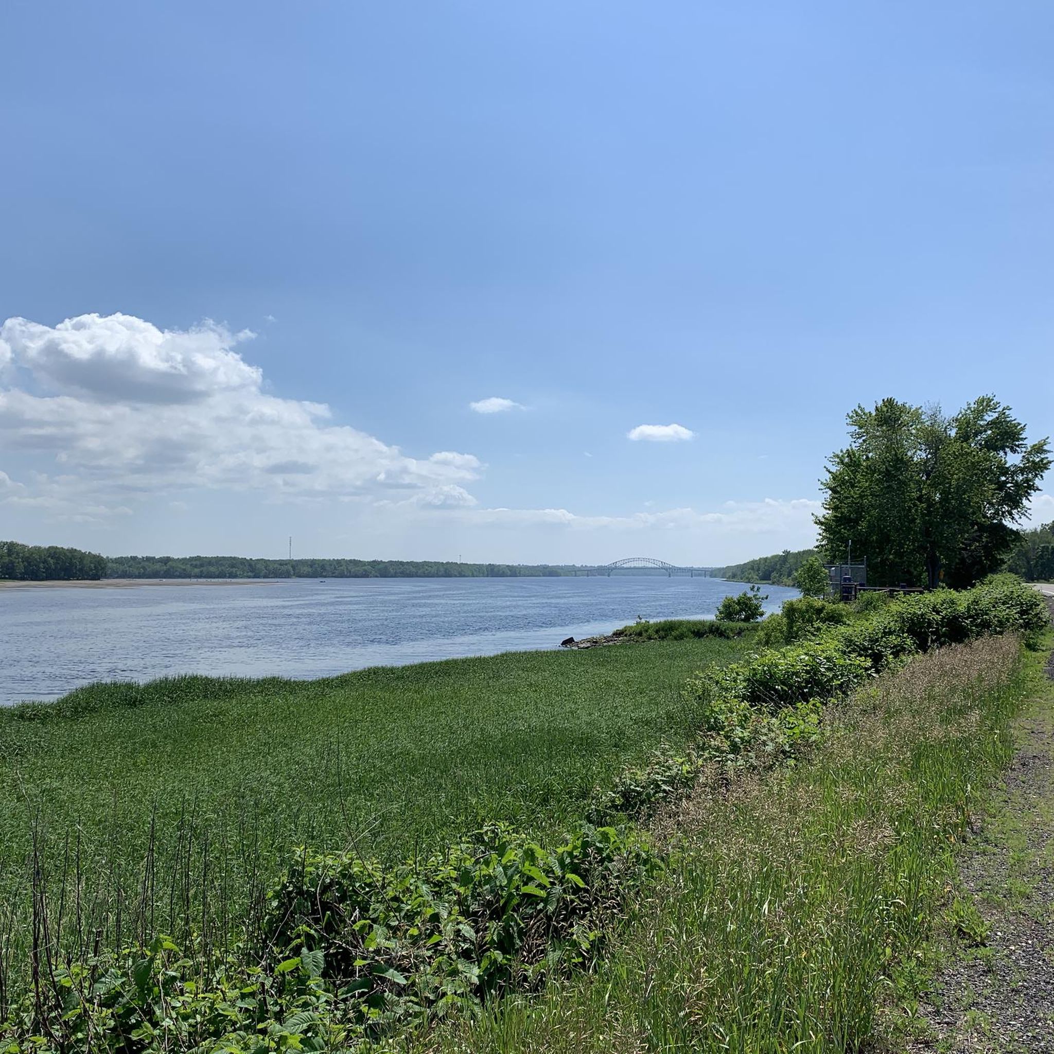
The Saint John River—known traditionally as Wolastoq, meaning “the beautiful and bountiful river”—is the defining waterway of western New Brunswick. Flowing through Fredericton, it creates a broad, calm corridor bordered by open floodplain, forest, and riverside neighbourhoods. Along the north and south riverfront paths, you’ll find long, level stretches ideal for walking, running, and cycling, with clear views across to the opposite bank.
0
0
A long, mostly level multi-use route that traces the quiet corridor of the Nashwaak River on Fredericton’s north side. The compacted-gravel surface makes it easy to walk, run, or cycle, and the trail moves between shaded woodland, open stretches, and short riverside clearings. Views of the Nashwaak appear steadily along the way, especially near bridge crossings and wider bends in the river. The trail takes its name from the Nashwaak River itself, derived from the Wolastoqey (Maliseet) word Nekawäk—often interpreted as “slow current” or “still water,” a fitting description of the calm, steady flow that defines this part of the valley.
0
0

The Saint John River, also known as the Wolastoq, is one of the most important waterways in New Brunswick, flowing for about 673 kilometers through the province to the Bay of Fundy. A section of the river forms the international border between New Brunswick and Maine.
0
0
The North Riverfront Trail is an 8-kilometer, multi-use trail that takes users along the Saint John River from the Bill Thorpe Walking Bridge to Carleton Park.
0
0

Old cotton mill that is now a government building.
0
0
This section of the trail was flooded in April 2025.
0
0
Frequently Asked Questions
What is the general terrain like for gravel biking around Maugerville?
The gravel biking terrain around Maugerville is primarily within the Saint John River valley, featuring flat to gently rolling landscapes. You'll encounter a mix of agricultural land, riverside paths, and forested sections. Elevation changes are generally modest, with some routes including short, gradual climbs.
How many gravel bike trails are available in the Maugerville area?
There are 5 gravel bike trails documented around Maugerville on komoot, offering a variety of experiences for different skill levels.
What is the difficulty level of gravel bike trails around Maugerville?
The trails cater to various skill levels. You'll find 2 easy routes, 2 moderate routes, and 1 more challenging route, ensuring options for both beginners and experienced riders.
Are there beginner-friendly gravel bike trails in Maugerville?
Yes, Maugerville offers beginner-friendly options. An easy route to consider is the Gibson Trail – Marysville Cotton Mill loop from Marysville, which is just under 10 km and takes about 37 minutes to complete.
Are there challenging gravel routes for experienced riders in Maugerville?
For experienced riders seeking a challenge, the Crosstown Trail in Fredericton – Nashwaak Trail loop from Fredericton is a difficult route spanning over 67 km, typically taking more than 4 hours to complete.
What are the typical lengths of gravel bike trails in the Maugerville area?
Trail lengths vary significantly. You can find shorter loops like the Gibson Trail – Marysville Cotton Mill loop from Marysville at about 9.8 km, up to longer routes such as the Crosstown Trail in Fredericton – Nashwaak Trail loop from Fredericton, which is over 67 km long.
When is the best time of year to go gravel biking in Maugerville?
Generally, the best time for gravel biking in Maugerville is from spring through fall, when the weather is mild and trails are clear of snow and ice. Always check local conditions before heading out, especially during shoulder seasons.
What can I see along the gravel bike trails around Maugerville?
Many routes follow the Saint John River, offering scenic views. You might also encounter points of interest like the Lincoln Trail, the Fredericton Botanical Garden, or the historic Fort Hughes Military Blockhouse, depending on your chosen route.
Are the gravel bike trails around Maugerville suitable for families?
Yes, many of the trails, especially the easier and flatter sections along the riverfront and former rail lines, are suitable for families. Routes like the Nashwaak Trail – Carleton Park loop from Fredericton—Oromocto offer a manageable distance and elevation for a family outing.
What do other gravel bikers enjoy the most about gravel biking in Maugerville?
The area is highly rated by the komoot community, with an average score of 5.0 stars. Reviewers often praise the diverse terrain, combining riverfront paths with agricultural and forested sections, and the well-maintained multi-use trails.
Are there any circular gravel bike routes in Maugerville?
Yes, many of the gravel bike routes around Maugerville are designed as loops. For example, the North Riverfront Trail – Nashwaak Trail loop from Fredericton offers a moderate 39.7 km circular path along the riverfront.
Most popular routes around Maugerville
Most popular attractions around Maugerville

Get inspired with the komoot mobile app


Explore more
Browse the best Gravel rides in other regions.
