The best walks and hikes around Kalenborn-Scheuern
4.5
(11809)
41,743
hikers
13
hikes
Hiking around Kalenborn-Scheuern offers diverse terrain shaped by its volcanic past within Germany's Vulkaneifel district. The landscape features ancient volcanic craters known as maars, impressive rock formations, and extensive forests and valleys. This geological history provides varied elevation changes and unique topographical elements for hikers.
Best hiking trails around Kalenborn-Scheuern
- The most popular hiking route is Millstone Cave at Rother Kopf – Unfinished Millstone loop from Kalenborn-Scheuern, a 7.7 miles (12.4 km) trail that takes 3 hours 33 minutes…
Last updated: May 15, 2026
4.7
(15)
59
hikers
Moderate hike. Good fitness required. Easily-accessible paths. Suitable for all skill levels.
5.0
(3)
33
hikers
Hard hike. Very good fitness required. Easily-accessible paths. Suitable for all skill levels.

Sign up for free
5.0
(2)
9
hikers
4.26km
01:11
80m
80m
Easy hike. Great for any fitness level. Easily-accessible paths. Suitable for all skill levels.
4.0
(2)
7
hikers
8.52km
02:24
180m
180m
Moderate hike. Good fitness required. Easily-accessible paths. Suitable for all skill levels.
5.0
(1)
5
hikers
5.57km
01:32
100m
100m
Easy hike. Great for any fitness level. Easily-accessible paths. Suitable for all skill levels.
Get access to more routes and recommendations from other explorers.
Sign up for free
Already have an account?
Our route recommendations are based on thousands of hikes, rides, and runs completed by other people on komoot.
Start today with a free account
Your next adventure awaits.
Login or Signup
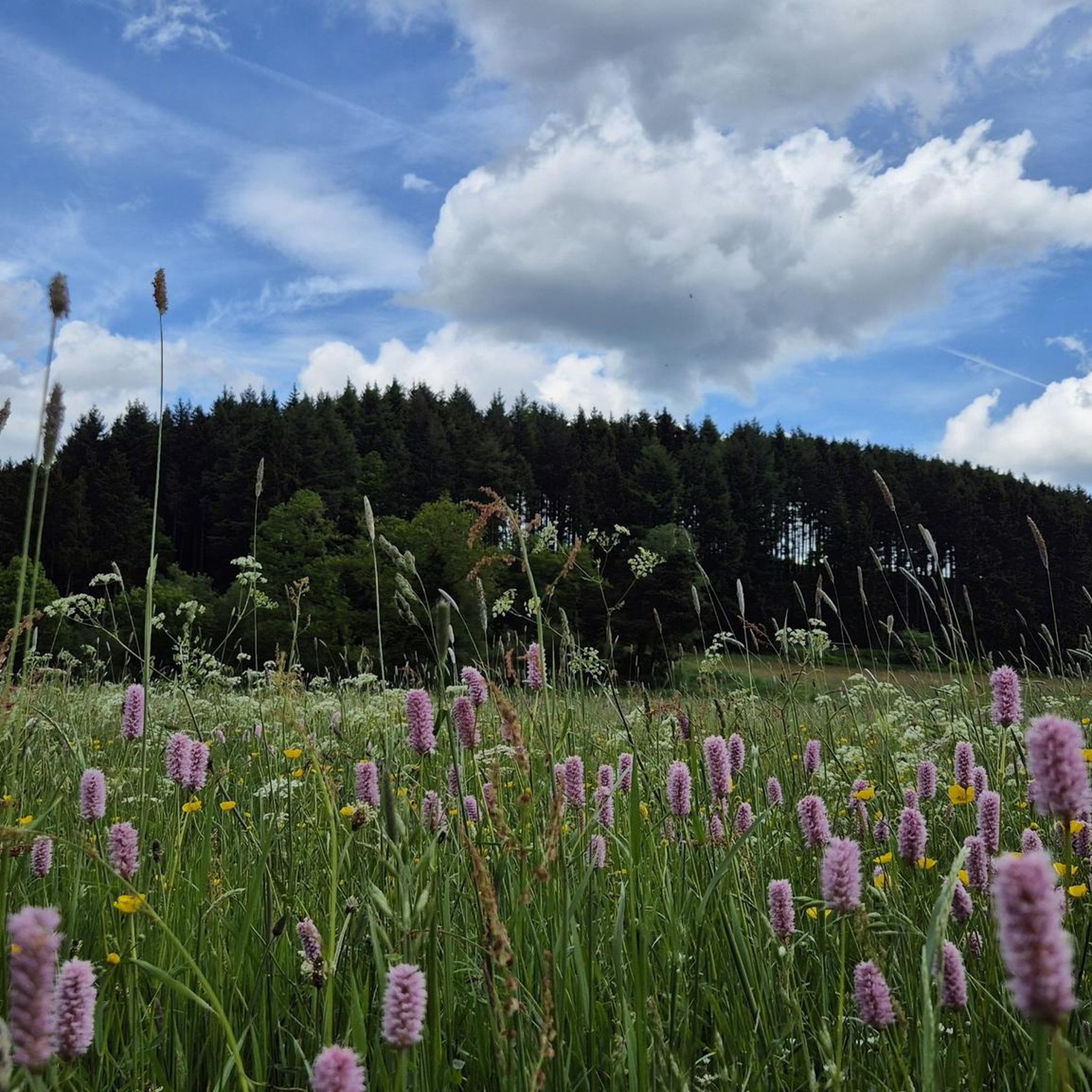
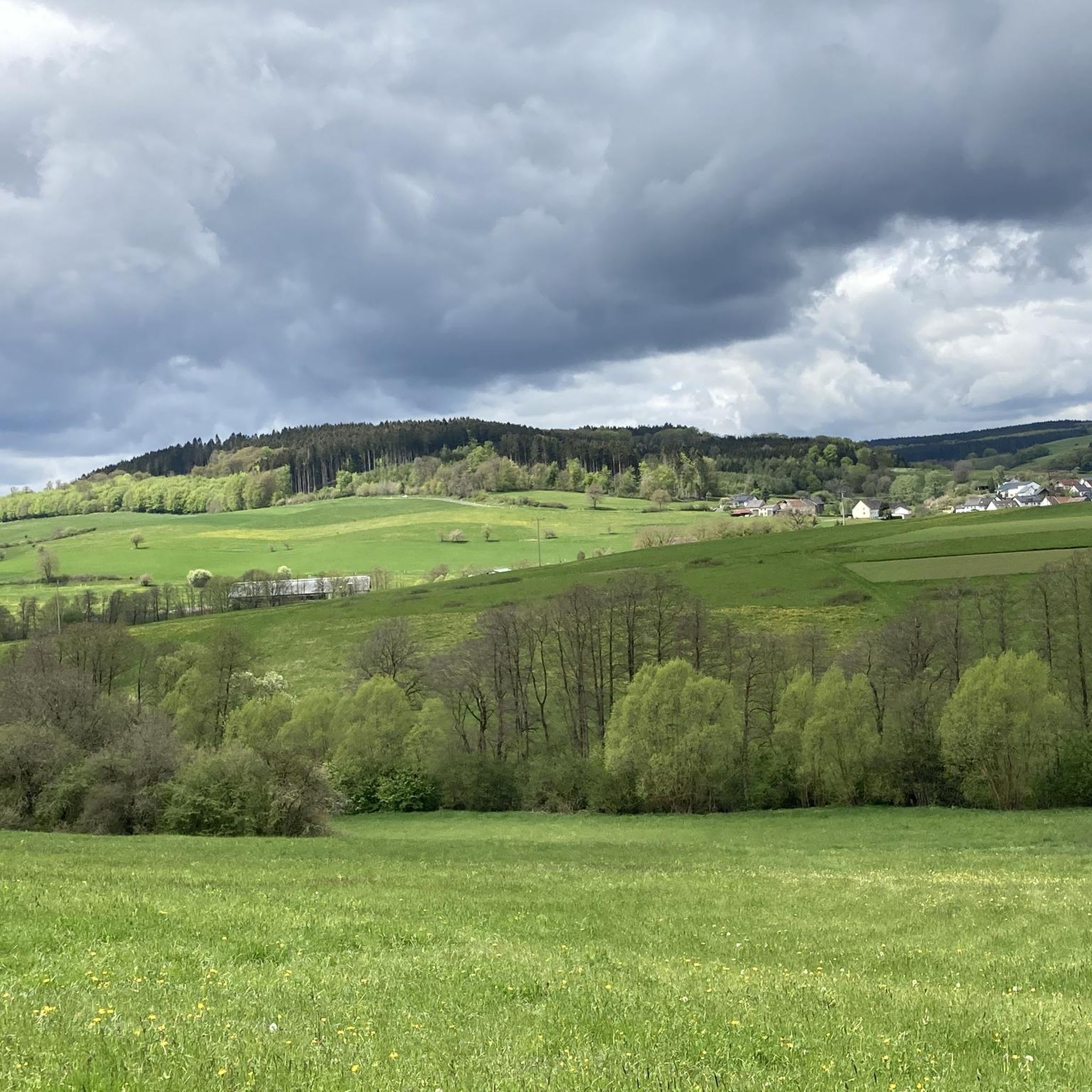
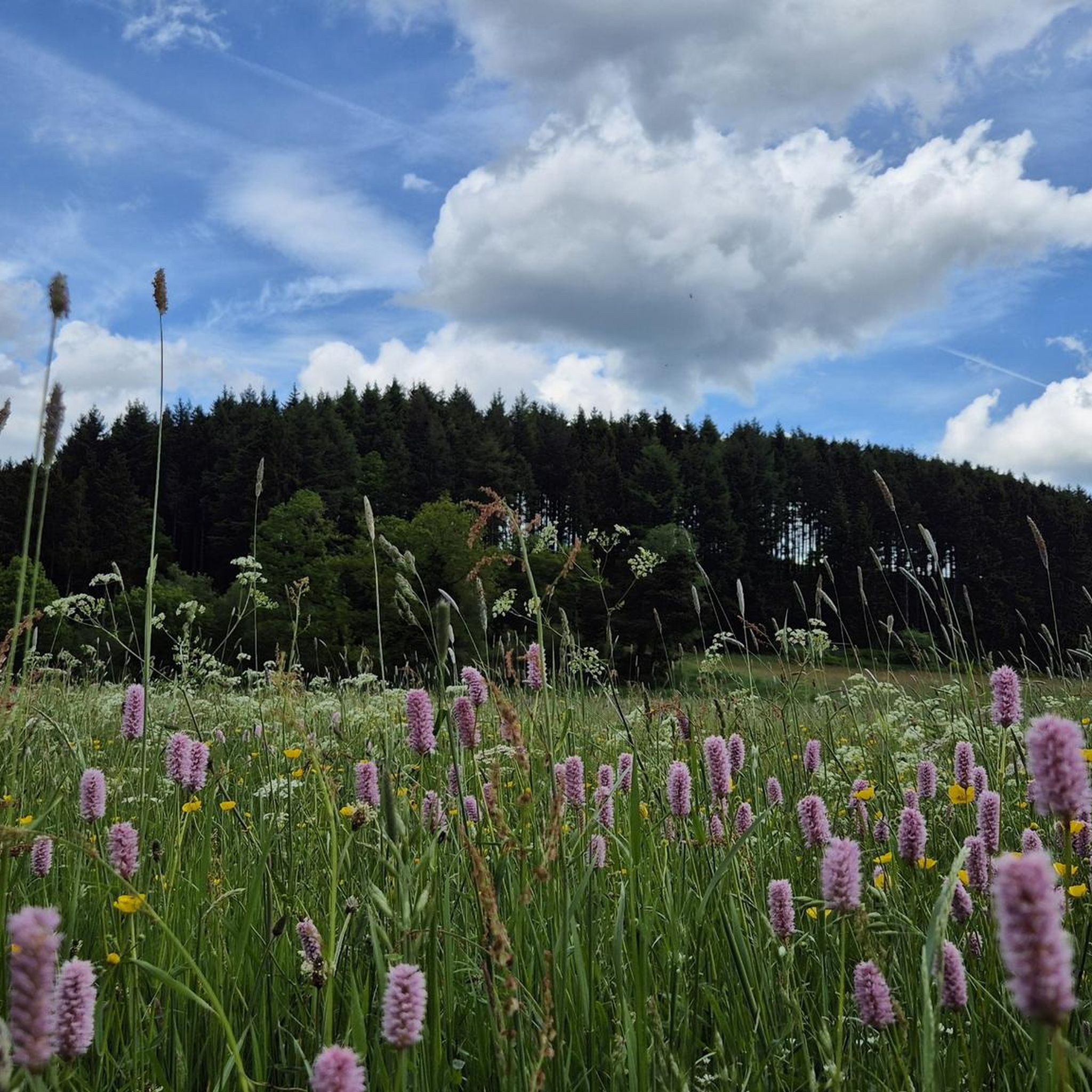
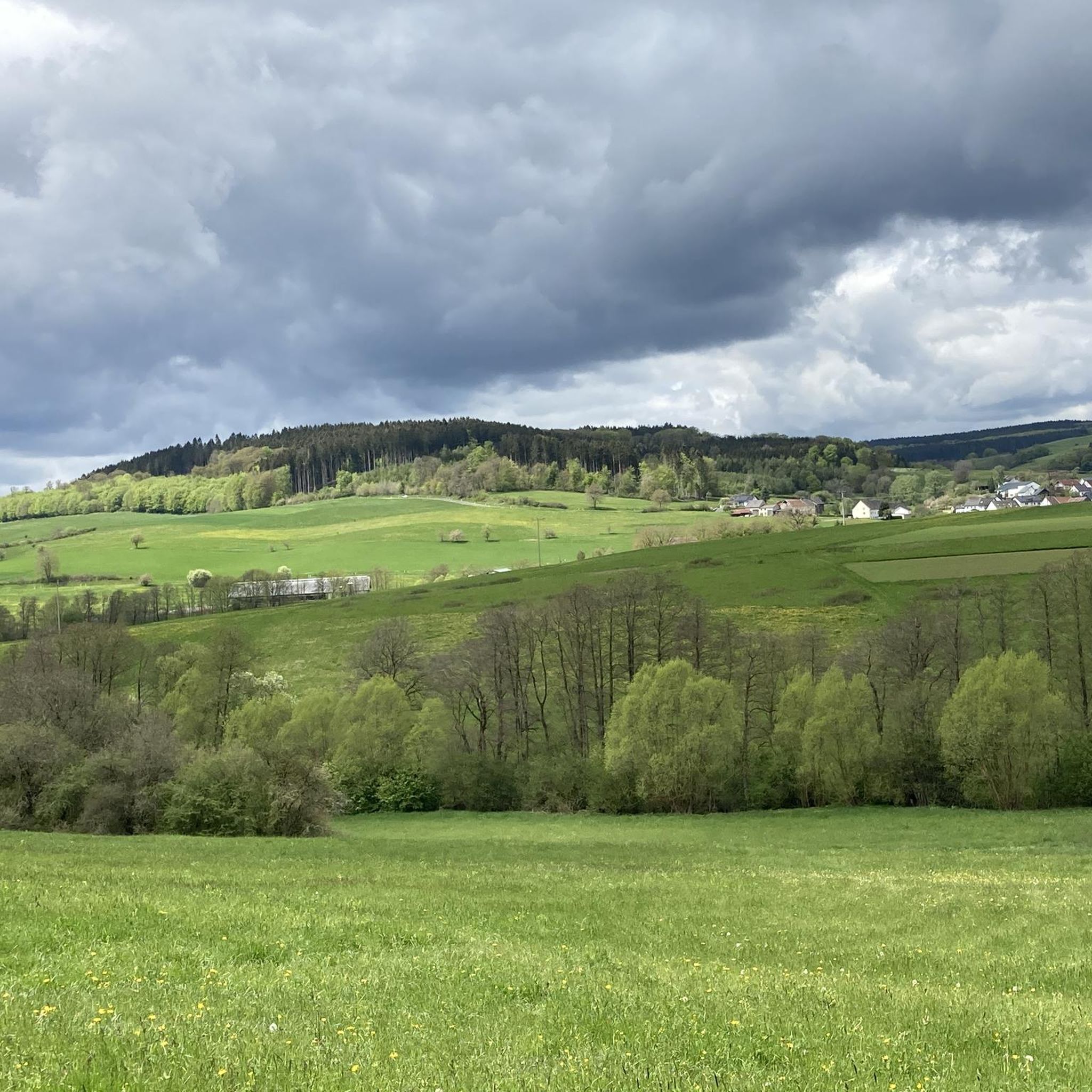

Tips from the Community

Often, the patronage of a Saint Anthony refers to the Franciscan friar from Padua (who is also often asked for help in finding lost things in popular belief), but in this case we go much further back in the history of Christianity.
1
0
To us, such a mill pond, as it presents itself to the viewer here on site – at the Müllenborn hiking parking lot – may seem very ordinary, but in the fantasy world of, for example, Otfried Preußler (1923 to 2013), who became famous for the children's books he wrote, it looks completely different: It is also the habitat of a water sprite family, and his book, still popular today, "The Little Water Sprite" tells of the adventures that the young family members experience in the mill pond. The "Stiftung Lesen" (Reading Foundation) reviews: "The water sprite has invited twenty-seven relatives – and twenty-six have come. Twelve water sprites with their wives, a well sprite and the bridge maiden from the Sankt Nepomuk Bridge! And they have all accepted the invitation because they want to see the little water sprite, of whom the water sprite dad is so proud. And he can be – because the cheeky little rascal can swim as soon as he is born. And he learns everything else faster than his worried parents would like. Sometimes his friend, the thoughtful carp Cyprinus, can only wiggle his fins ... The 1956 children's book classic has already enchanted generations of readers, who, alongside the fantastic adventures of the little water sprite, can also pass on their own childhood memories when reading aloud to children from approx. 5 years of age." (Source: Stiftung Lesen)
2
0

Nice little exhibition and grounds.
0
0
Great all-round view from Rother Kopf with a sun lounger.
0
0

Ideal rest area at Rother Kopf
0
0

The parish church of St. Anthony in Roth near Gerolstein was built in 1899–1900 in the neo-Gothic style and, with its striking tower, dominates the villagescape. It stands on the site of an older chapel dedicated to St. Anthony the Hermit. Inside, there are stained-glass windows and a richly decorated high altar, impressively reflecting the rural Eifel faith of the 19th century.
1
0

Very informative and worthwhile for a first rest.
0
0

Lake Müllenborn – often called Müllenborner Weiher – is picturesquely located in the Müllenborn district north of Gerolstein and is a real insider tip for Komoot tours. The idyllic expanse of water, surrounded by cool forests, invites you to stroll, picnic, and enjoy mindful moments by the water. A beautiful, approximately 6km circular trail leads around the lake, past the historic millstone ruins and along the Oosbach stream – ideal for quiet explorations away from the hustle and bustle. Around Müllenborn, you'll learn firsthand about the region's volcanic history: Oversized basalt blocks from the former Rother Kopf dominate the forest landscape, and you'll repeatedly encounter springs, small bridges, and the remains of old mills – hence the name "Mühlenborn" (Millsborn). The village itself, with its chapel and baroque houses on the shore, provides a charming, historic setting for the lake. The lake is not open for swimming, but in summer, you'll often find locals cooling off or fishing here; provided you have a valid license. A visit to the Müllenborn Lake Festival in July is particularly atmospheric – with brass bands, a festival tent, and a convivial village atmosphere. Just a few hundred meters away is the comfortable Landhaus Müllenborn, a 4-star country hotel with a spa, sauna, and sauna terrace – perfect for relaxing after the circular hike. The Eifelsteig trail runs nearby, and cyclists can also find connections to regional routes such as the Eifel-Ardennes Cycle Route.
0
0
Frequently Asked Questions
What kind of landscape can I expect when hiking around Kalenborn-Scheuern?
Kalenborn-Scheuern is nestled in Germany's Vulkaneifel district, so you'll encounter a unique volcanic landscape. This includes ancient volcanic craters known as 'maars' (some dry, some water-filled), impressive rock formations like the Gerolsteiner Dolomiten, and extensive forests and valleys. The geological history provides varied terrain and unique topographical elements.
Are there easy hiking trails suitable for beginners or casual walkers?
Yes, Kalenborn-Scheuern offers a good selection of easy trails. For instance, the Lenzerath – Felssturz and Fuchsröhre loop from Kalenborn-Scheuern is an easy 2.6 miles (4.3 km) path featuring the Müllenborn rockfall. Another accessible option is the Hiking loop from Kalenborn-Scheuern, which is 3.5 miles (5.6 km) long.
What are some notable natural features or landmarks to look out for on the trails?
The region is rich in natural and historical features. You can explore the ancient millstone caves at Rother Kopf, which are featured on routes like the Millstone Cave at Rother Kopf – Unfinished Millstone loop. Other highlights include the Müllenborn rockfall, impressive rock formations like the Gerolsteiner Dolomiten Rock Formations, and various viewpoints offering panoramic vistas, such as the View of Gerolstein from the Munterley.
Are there any circular hiking routes available?
Yes, many of the trails around Kalenborn-Scheuern are designed as circular routes, allowing you to start and end at the same point. Examples include the Millstone Cave at Rother Kopf – Unfinished Millstone loop and the Old Millstones – Shelter at Rother Kopf loop, both offering a complete circuit through the landscape.
What do other hikers say about the trails in Kalenborn-Scheuern?
The hiking routes in Kalenborn-Scheuern are highly regarded by the komoot community, holding an average rating of 4.5 stars from over 11,000 reviews. Hikers often praise the diverse volcanic landscapes, the well-maintained paths, and the combination of natural beauty with historical points of interest like the millstone caves.
Can I bring my dog on the hiking trails?
Generally, the hiking trails in the Vulkaneifel region are dog-friendly. However, it's always recommended to keep your dog on a leash, especially in nature reserves, near wildlife, or when passing through agricultural areas. Always carry water for your pet and be mindful of local regulations.
What is the best time of year to go hiking in Kalenborn-Scheuern?
The best seasons for outdoor activities in Kalenborn-Scheuern are spring and summer when nature is vibrant and the weather is generally pleasant. Autumn also offers impressive colors, making it a beautiful time for hiking. While winter hiking is possible, be prepared for colder conditions and potential snow, with some areas even offering cross-country skiing.
Are there any family-friendly hiking options?
Many trails in the region are suitable for families, especially the easier, shorter loops. The diverse landscape with its volcanic features and historical sites can be engaging for children. Look for routes with less elevation gain and shorter distances, such as the Lenzerath – Felssturz and Fuchsröhre loop, which is an easy and relatively short option.
Are there places to eat or drink along the trails or nearby?
While specific amenities directly on every trail might be limited, the region has villages and towns where you can find cafes, pubs, and restaurants. It's advisable to check local establishments in Kalenborn-Scheuern or nearby towns like Gerolstein for opening hours before your hike. Packing snacks and drinks is always a good idea.
What are the typical distances and durations for hikes in this area?
Hikes around Kalenborn-Scheuern vary in length and duration. You can find shorter, easy walks like the Lenzerath – Felssturz and Fuchsröhre loop at 2.6 miles (4.3 km) taking about 1 hour 10 minutes. Moderate trails, such as the Shelter at Rother Kopf – Old Millstones loop, can be around 6.6 miles (10.6 km) and take approximately 2 hours 56 minutes.
Is public transport available to reach the trailheads?
Public transport options in rural Eifel regions can be less frequent than in urban areas. While some villages are served by buses, it's often more convenient to reach trailheads by car. It's recommended to check local bus schedules for specific routes and starting points if you plan to rely on public transport.
Are there any castles or historical sites visible from the hiking paths?
Yes, the region combines natural beauty with historical charm. While not open for interior visits, Kerpen Castle (Eifel) is an impressive sight along some hiking routes, adding a touch of history to the landscape. You can also find remnants of ancient Celtic tombs and the millstone caves, showcasing the area's past.
Most popular routes around Kalenborn-Scheuern
Most popular attractions around Kalenborn-Scheuern

Get inspired with the komoot mobile app


Explore more
Browse the best Hikes in other regions.
