The best gravel rides in Columbia County
5.0
(4)
129
riders
15
rides
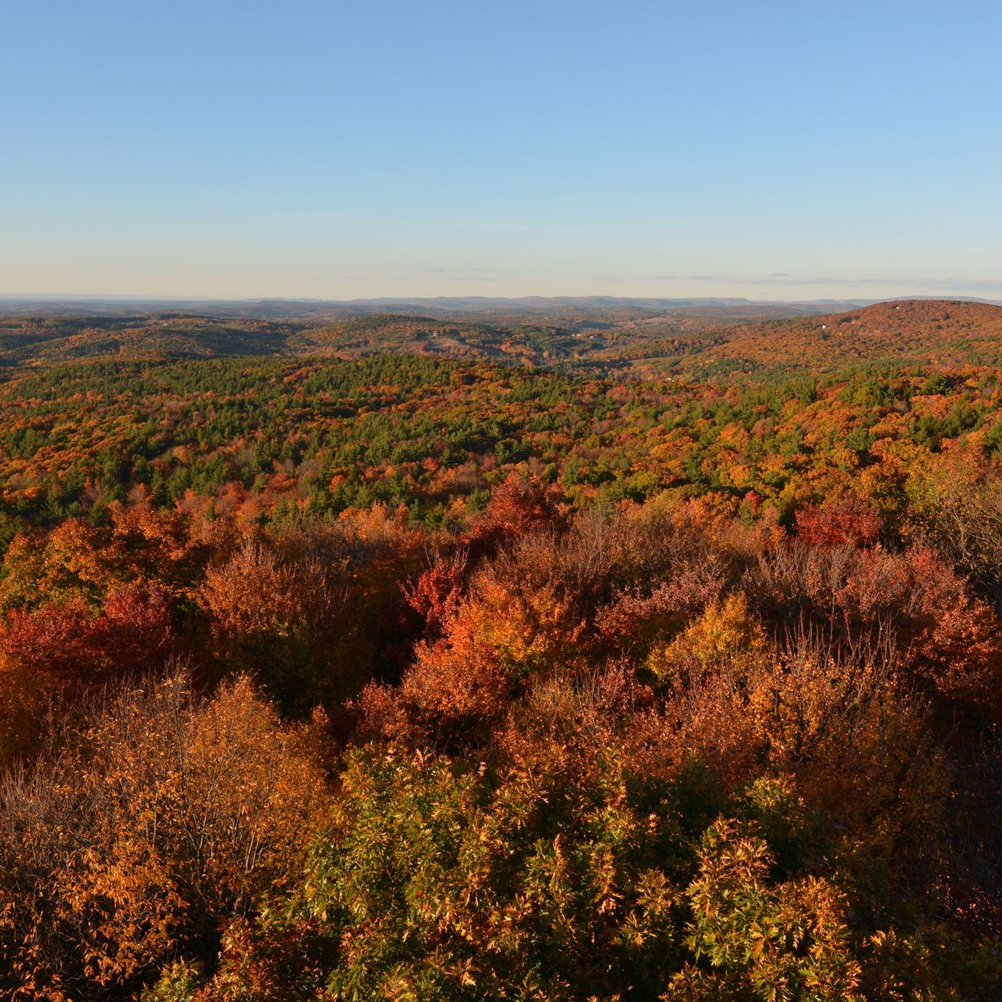
Gravel biking in Columbia County features a diverse landscape characterized by rolling hills, forested paths, and a mix of gravel and dirt roads. The region offers varied terrain with elevation changes, providing both steady climbs and descents. Routes often extend into neighboring states, showcasing a blend of hard-packed dirt and gravel surfaces. Publicly accessible natural areas like Beebe Hill State Forest and Hand Hollow Conservation Area contribute to the county's outdoor appeal.
Best gravel bike trails in Columbia County
- The most popular gravel bike trail is Steel Bridge – Sutherland Pond loop from Town of Chatham, a 41.1 miles (66.1 km) trail that takes 5 hours 25 minutes to complete. This difficult route features significant elevation gain through varied landscapes.
- Another top favourite among local gravel bikers is Guilder Pond – Scoville Library loop from Jug End State Reservation & Wildlife Management Area, a difficult 36.5 miles (58.7 km) path. This route includes substantial climbing and diverse surfaces.
- Local gravel bikers also love the Cone Hill loop from Richmond Conservation, a 25.8 miles (41.5 km) trail leading through rolling hills and forested areas, often completed in about 3 hours 50 minutes.
- Gravel biking in Columbia County is defined by rolling hills, forested paths, and a mix of gravel and dirt roads. The network offers options for different ability levels, from moderate to difficult routes.
- The routes in Columbia County are highly rated by the komoot community with an average score of 5.0 stars from 2 reviews. More than 19 gravel bikers have used komoot to explore Columbia County's varied terrain.
Last updated: November 11, 2026
21
riders
66.2km
04:25
910m
910m
Hard gravel ride. Very good fitness required. Mostly paved surfaces.
14
riders
60.3km
04:40
990m
990m
Hard gravel ride. Very good fitness required. Mostly paved surfaces.

5.0
(1)
3
riders
56.6km
03:57
880m
880m
Hard gravel ride. Very good fitness required. Mostly paved surfaces.
5.0
(1)
5
riders
47.0km
03:11
720m
720m
Hard gravel ride. Very good fitness required. Mostly paved surfaces.
3
riders
61.4km
05:05
1,270m
1,270m
Hard gravel ride. Very good fitness required. Mostly paved surfaces.
5.0
(2)
4
riders
41.5km
03:00
660m
660m
Hard gravel ride. Very good fitness required. Mostly paved surfaces.
4
riders
36.8km
02:17
380m
380m
Moderate gravel ride. Good fitness required. Mostly paved surfaces.
3
riders
35.7km
02:18
410m
410m
Moderate gravel ride. Good fitness required. Mostly paved surfaces.
2
riders
29.3km
02:22
520m
520m
Hard gravel ride. Very good fitness required. Mostly paved surfaces.
68
riders
91.3km
06:56
1,550m
1,550m
Hard gravel ride. Very good fitness required. Mostly paved surfaces.
Get access to more routes and recommendations from other explorers.
Already have an account?
Our route recommendations are based on thousands of hikes, rides, and runs completed by other people on komoot.
Start today with a free account
Your next adventure awaits.


Tips from the Community


Established in 1803, it holds the distinction of being the first free, public library in the United States. This pioneering accomplishment paved the way for public libraries across the nation.
0
0

Although the meeting house is looking a little tired now, it still makes for an impressive sight. You can imagine it in its heyday, a pillar of the community, overlooking the entire town.
0
0
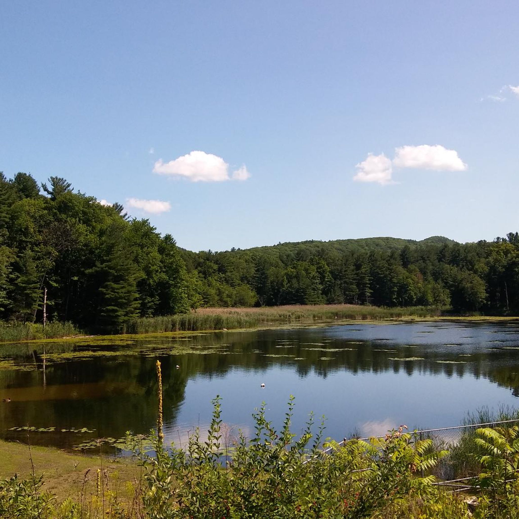
You gain lovely views of the pond through the trees on this road, and there is lay by with a clearing if you'd like a closer view. Keep your eye out for the birds living around the pond.
0
0

This pond is located in Taconic State Park and offers a nice place to cool off with a swimming area and a wading pool for young children. It's a great stopping point to rest and take in the beauty.
0
0

The Hudson Ore Bed and Leet Ore Bed Ponds are two adjacent ponds in West Stockbridge, Massachusetts, close to the border of Massachusetts and New York. These two ponds are nice places to ride past and look for birds and other wildlife.
0
0
Frequently Asked Questions
How many gravel bike trails are available in Columbia County?
Columbia County offers a robust selection of over 15 gravel bike routes, catering to various skill levels. The region is particularly known for its challenging rides, with 12 routes rated as difficult and 3 as moderate.
What kind of terrain can I expect on gravel bike trails in Columbia County?
Gravel biking in Columbia County features a diverse landscape of rolling hills, dense forests, and a mix of hard-packed dirt and gravel roads. You'll encounter significant elevation changes, providing both steady climbs and exhilarating descents. Some routes may also include sections of paved road or even former rail trails.
Are there any easy or beginner-friendly gravel bike routes in Columbia County?
While many routes in Columbia County are rated as difficult, there are moderate options available for those looking for a less strenuous ride. For example, the Beautiful View of the Valley – Steel Bridge loop from Chatham is a moderate 39.7 km trail with over 430 meters of elevation gain, offering a good balance for intermediate riders.
What is the best time of year for gravel biking in Columbia County?
The diverse terrain of Columbia County makes it enjoyable for gravel biking across multiple seasons. Spring and fall offer pleasant temperatures and vibrant scenery, while summer provides longer daylight hours. Be aware that some trails might have varying conditions depending on recent weather, especially after rain.
Are there challenging gravel routes for experienced riders in Columbia County?
Absolutely. Columbia County is well-suited for experienced gravel bikers seeking a challenge. Routes like the Guilder Pond – Scoville Library loop from Jug End State Reservation & Wildlife Management Area, spanning 59.3 km with over 960 meters of elevation gain, offer substantial climbing and diverse surfaces to test your endurance.
Are there loop gravel bike trails in Columbia County?
Yes, many of the gravel bike trails in Columbia County are designed as loops, allowing you to start and end at the same point. Popular loop options include the Steel Bridge – Sutherland Pond loop from Town of Chatham and the Cone Hill loop from Richmond Conservation, providing convenient circular routes for exploration.
Where can I find parking for gravel bike trails in Columbia County?
Many trailheads and state parks in Columbia County offer designated parking areas. For routes starting near Taconic State Park, you can often find parking within the park facilities. Specific parking information for individual routes can usually be found on their respective komoot tour pages.
Are there any scenic viewpoints or natural attractions along the gravel bike trails?
Yes, Columbia County is rich in natural beauty. You can find stunning vistas such as the Sunset Rock Overlook in Taconic State Park, offering panoramic views. The region also boasts waterfalls like those in Taconic State Park and the impressive High Falls, Columbia County's highest waterfall.
Can I find routes that pass by lakes or water features?
Several routes in Columbia County will take you near beautiful lakes and water features. You can explore areas around Sutherland Pond or enjoy views of Kinderhook Lake. Lake Taghkanic State Park also offers opportunities for kayaking and swimming, making it a great stop on a ride.
Are there any historical sites or landmarks accessible by gravel bike?
While primarily focused on natural landscapes, some routes may pass near historical points of interest. For instance, the Clermont State Historic Site is a notable landmark in the area, offering a glimpse into the region's past. Always check the specific route details for nearby attractions.
What do other gravel bikers enjoy most about the trails in Columbia County?
The gravel biking routes in Columbia County are highly rated by the komoot community, with an average score of 5.0 stars. Reviewers often praise the diverse terrain, the challenging climbs, and the scenic beauty of the rolling hills and forested paths. The variety of routes, from moderate to difficult, is also frequently highlighted.
Are there family-friendly gravel biking options in Columbia County?
While many routes are challenging, families looking for a more relaxed experience might consider sections of rail trails or less strenuous loops. It's recommended to check the difficulty ratings and elevation profiles on komoot for specific routes to find those best suited for family outings. Look for routes with lower elevation gain and shorter distances.
Are there any routes that pass by local breweries or places to refuel?
Yes, some routes are conveniently located near local establishments. For example, the S & S Farms and Brewery loop from & S Farm Brewery offers a direct connection to a local brewery, providing a perfect spot to refuel and relax after your ride. Always check opening hours before planning your trip.
Most popular routes in Columbia County
Most popular attractions in Columbia County

Get inspired with the komoot mobile app


Didn’t find what you were looking for?
Check out more Gravel rides throughout Columbia County below and find the perfect route in your destination.
Explore more
Browse the best Gravel rides in other regions.
