The best gravel rides in Weld County
4.9
(99)
981
riders
61
rides
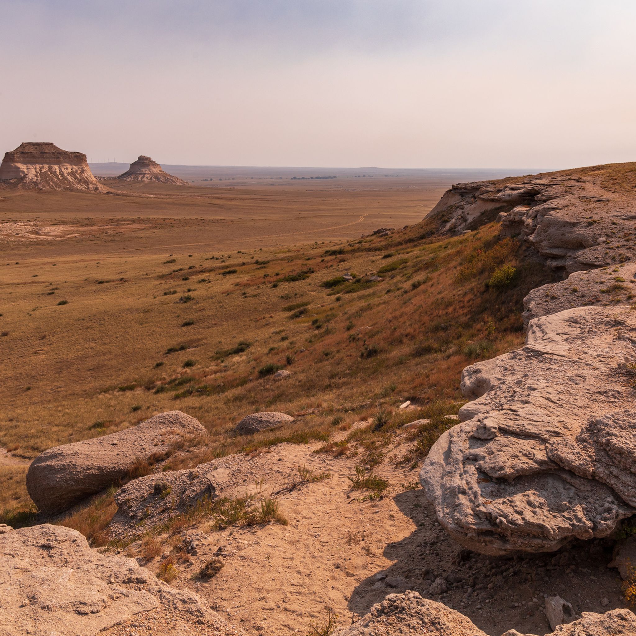
Gravel biking in Weld County offers diverse terrain across expansive prairies and agricultural lands. The region features unique geological formations like the Pawnee Buttes and is crisscrossed by an extensive network of dirt and gravel roads. Portions of the South Platte watershed, including the Cache la Poudre River, also contribute to the landscape, providing varied riding experiences. This environment supports a range of gravel biking routes, from open plains to river corridors.
Best gravel bike trails in Weld County
- The…
Last updated: September 27, 2026
4.4
(22)
63
riders
53.2km
03:34
300m
300m
This moderate 33.1-mile gravel biking loop offers scenic views of the Rocky Mountains, streams, and wildlife in Boulder County.
10
riders
52.9km
03:49
660m
660m
This difficult 32.9-mile gravel biking loop combines the Boulder Creek Path with a challenging climb up Flagstaff Mountain, offering panoram

5.0
(2)
53
riders
41.5km
02:14
220m
220m
Moderate gravel ride. Good fitness required. Mostly paved surfaces. Suitable for all skill levels.
5.0
(1)
21
riders
51.6km
02:54
420m
420m
Moderate gravel ride. Good fitness required. Mostly paved surfaces. Suitable for all skill levels.
5.0
(1)
23
riders
37.7km
02:02
230m
230m
Moderate gravel ride. Good fitness required. Mostly paved surfaces. Suitable for all skill levels.
4.5
(4)
42
riders
40.4km
02:14
270m
270m
Moderate gravel ride. Good fitness required. Mostly paved surfaces. Suitable for all skill levels.
5.0
(2)
43
riders
29.4km
01:31
130m
130m
Easy gravel ride. Great for any fitness level. Mostly paved surfaces. Suitable for all skill levels.
5.0
(1)
13
riders
Moderate gravel ride. Good fitness required. Mostly paved surfaces. Suitable for all skill levels.
4.0
(3)
14
riders
42.6km
02:24
270m
270m
Hard gravel ride. Good fitness required. You may need to push your bike for some segments of this route.
5.0
(2)
13
riders
32.3km
01:43
190m
190m
Moderate gravel ride. Good fitness required. Mostly paved surfaces. Suitable for all skill levels.
Get access to more routes and recommendations from other explorers.
Already have an account?
Our route recommendations are based on thousands of hikes, rides, and runs completed by other people on komoot.

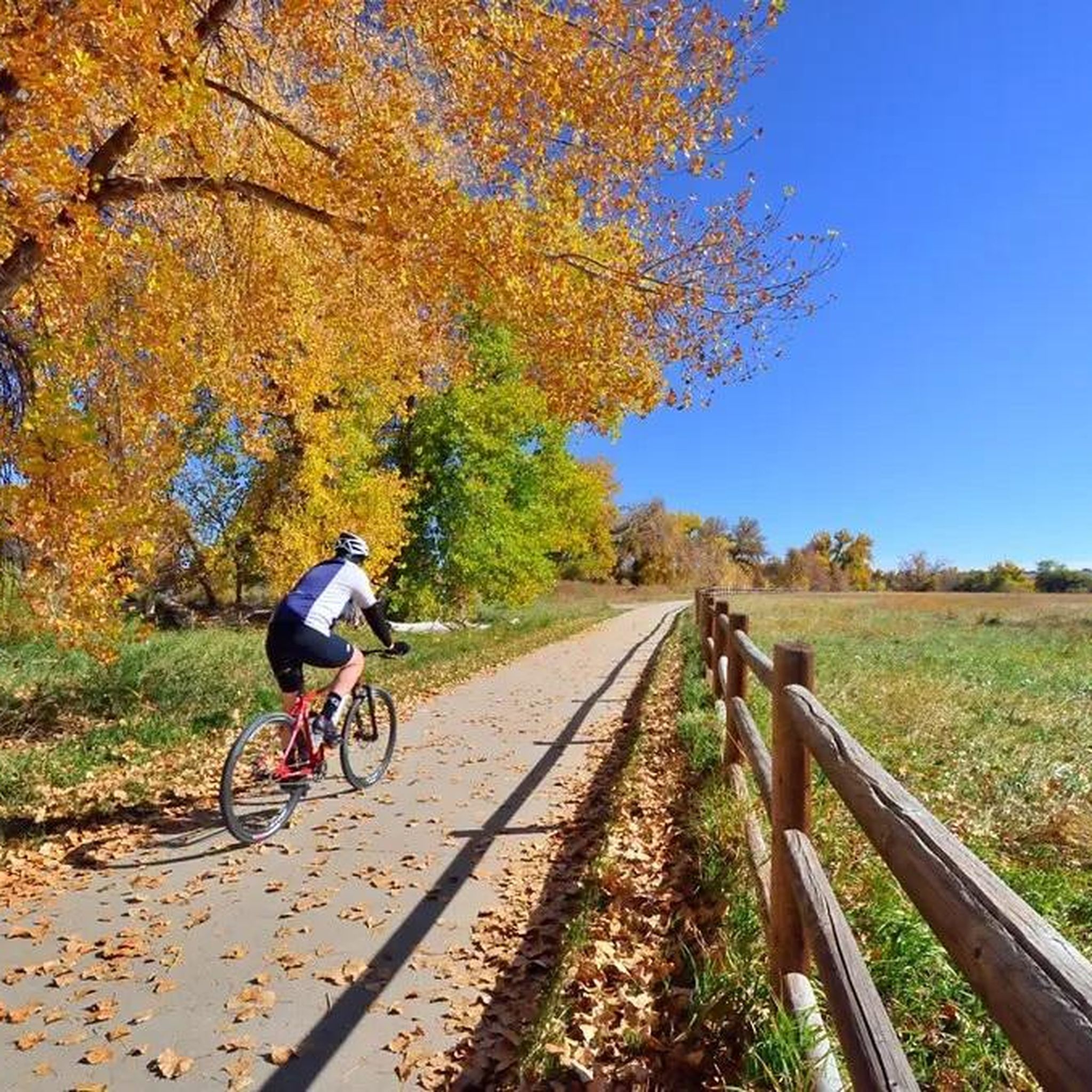
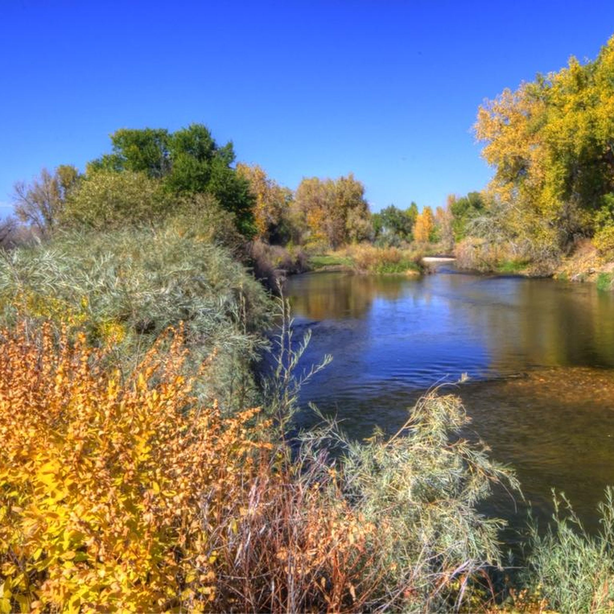
Tips from the Community

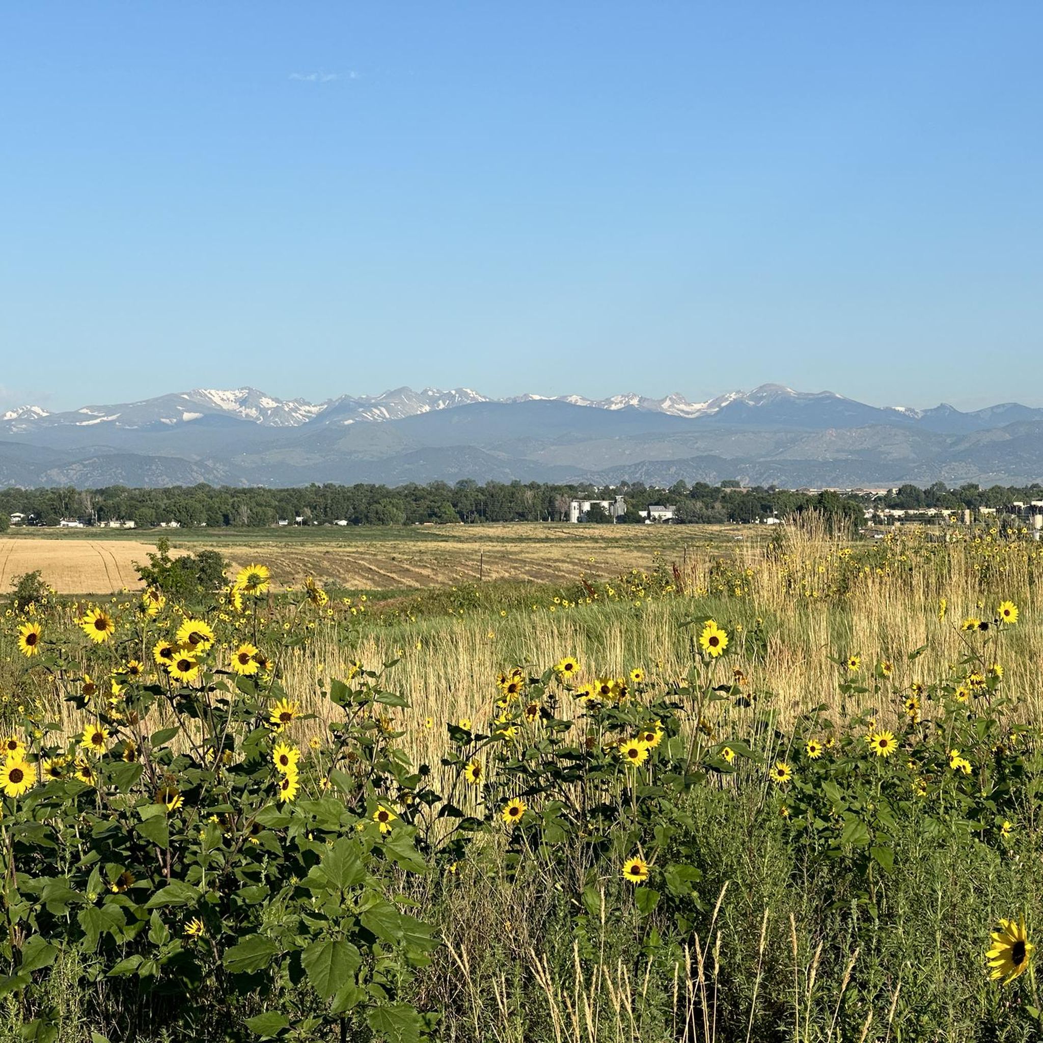
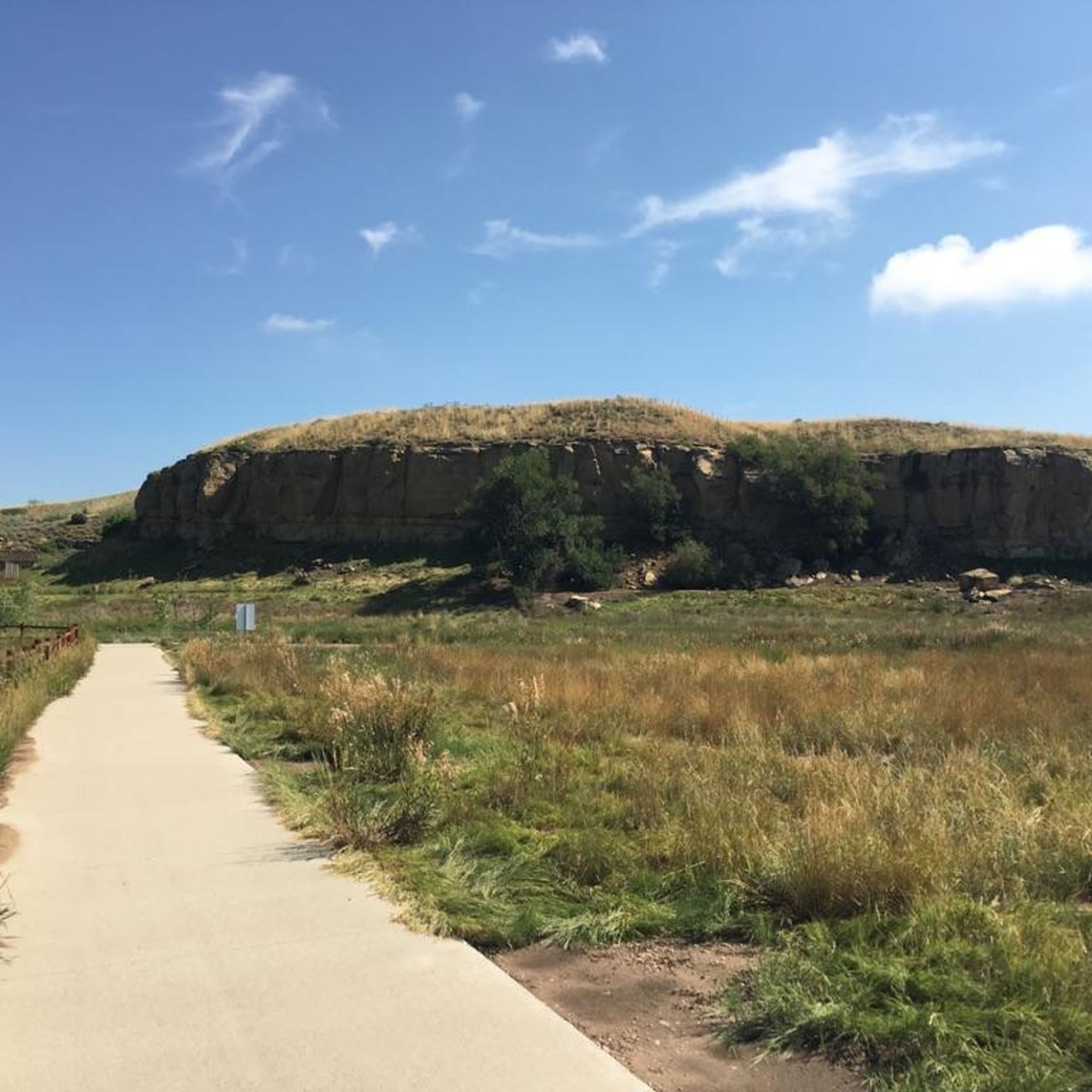
great view of the Front Range and dedicated MTB trails . This trailhead is on highest point of this open space area with the best views.
0
0

Warembourg Open Space is a peaceful spot along Coal Creek and the Coal Creek Regional Trail, shaped through conservation efforts by Boulder County, Louisville, and Lafayette. Established in 1999 and 2003, it offers hikers a lovely riparian habitat with cottonwoods, wildlife, and scenic creekside views—a perfect place for an easy, immersive walk close to nature.
0
0

This packed dirt multi-use path runs over the rolling hills of the Ruth Roberts Preserve, linking the Lake Link and Rock Creek Trails. From here, you get panoramic views of Colorado's Front Range.
0
0
This packed dirt multi-use trail runs for nearly nine miles, from Lac Amora Open Space to McKay Lake. It links many small lakes, ponds, and streams in Broomfield, and is a great connector for other trails.
0
0

The Coal Creek Trail is a long double track trail that runs between the towns Superior, Louisville, Lafayette and Erie. It's an easy, beginner ride perfect for those interested in riding off road.
0
0

After losing their nest to a lightning strike in August, it was unclear which location the eagles would choose for their to new nest. With limited suitable nesting trees in the area—including one along the trail near their previous nest—they have now settled in a tree here, near the southern end of S. 104th St.
0
0

Rock Creek Trail stretches 12 miles from Majestic Drive in Lafayette to Coalton Road and McCaslin Boulevard in Superior. The surface consists of crushed gravel, and the entire length is car-free.
1
0

Frequently Asked Questions
How many gravel bike trails are available in Weld County?
Weld County offers a wide selection of gravel biking routes, with over 80 tours available on komoot. These routes cater to various skill levels, including 27 easy, 44 moderate, and 11 difficult options.
What kind of terrain can I expect on gravel bike trails in Weld County?
Gravel biking in Weld County features diverse terrain, from expansive prairies and agricultural lands to unique geological formations like the Pawnee Buttes. You'll find an extensive network of dirt and gravel roads, with some routes also traversing river corridors within the South Platte watershed, such as the Cache la Poudre River area.
Are there any easy gravel bike trails suitable for beginners or families?
Yes, Weld County has 27 easy gravel biking routes. A good option for a relatively flat and accessible ride is the Somerset Trail – Left Hand Creek Park loop from Longmont Park-n-Ride, which covers about 28.4 km.
What are some challenging gravel biking routes in Weld County?
For experienced riders seeking a challenge, Weld County offers 11 difficult routes. One such route is the Flagstaff Mountain and Boulder Canyon gravel loop — Lafayette, a demanding 52.9 km path with significant climbing. Another difficult option is the Izaak Walton Park – Golden Ponds loop from Longmont, spanning over 63 km.
What natural features or landmarks can I see along the gravel trails?
Weld County's gravel trails offer views of vast prairies, agricultural lands, and distant mountains. You might encounter striking rock formations like the Pawnee Buttes in the Pawnee National Grassland. River corridors, such as the Cache La Poudre River, also provide scenic backdrops. Additionally, areas like the Signature Bluffs Natural Area offer picturesque views.
Are there any circular gravel bike routes in Weld County?
Many gravel routes in Weld County are designed as loops. For example, the Aquarius Open Space – Adler-Fingru Open Space loop from Kneebone Open Space is a popular 38.5 km circular route. Another option is the Coal Creek Trail – View of Longs Peak loop from 119th St & Austin Ave, which is a 46.4 km loop.
What do other gravel bikers say about the trails in Weld County?
The gravel biking routes in Weld County are highly rated by the komoot community, with an average score of 4.8 stars from over 40 reviews. Over 700 gravel bikers have explored the area using komoot, often praising the diverse terrain and the unique high-plains riding experience.
What is the best season for gravel biking in Weld County?
The Pawnee National Grassland area, a significant gravel biking destination in Weld County, is particularly scenic in spring and fall. During these seasons, the weather is typically mild, and wildflowers are in bloom, making for pleasant riding conditions. Summer can be hot, and winter may bring snow, impacting trail conditions.
Are there any trails that offer views of distant mountains?
Yes, many routes across Weld County's vast plains and agricultural lands offer views of distant mountains, including the Rockies. The View of Longs Peak – Aquarius Open Space loop from 119th St & Austin Ave is a specific route known for its mountain vistas.
Where can I find parking or access points for gravel biking trails?
Many trails in Weld County have accessible trailheads and parking. For instance, the Somerset Trail – Left Hand Creek Park loop is accessible from the Longmont Park-n-Ride. The Poudre River Trail and Great Western Trail also have various access points throughout the county.
Are there any parks or open spaces connected to the gravel biking network?
Yes, several parks and open spaces are integrated into or connected to the gravel biking network. These include Sandstone Ranch Community Park, Frank State Wildlife Area, and the Aquarius Open Space, which features in routes like the Aquarius Open Space – Adler-Fingru Open Space loop from Lafayette.
What is the average length of gravel bike trails in Weld County?
The gravel bike trails in Weld County vary significantly in length. While there are shorter options, many popular routes range from 30 km to over 60 km. For example, the Coal Creek Trail and Rock Creek Trail gravel loop is 53.2 km, and the Coot Lake Dock – Left Hand Creek Park loop is 32.9 km.
Most popular routes in Weld County
Most popular attractions in Weld County

Get inspired with the komoot mobile app


Didn’t find what you were looking for?
Check out more Gravel rides throughout Weld County below and find the perfect route in your destination.
Explore more
Browse the best Gravel rides in other regions.
