The best gravel rides in Yolo County
4.0
(3)
57
riders
5
rides
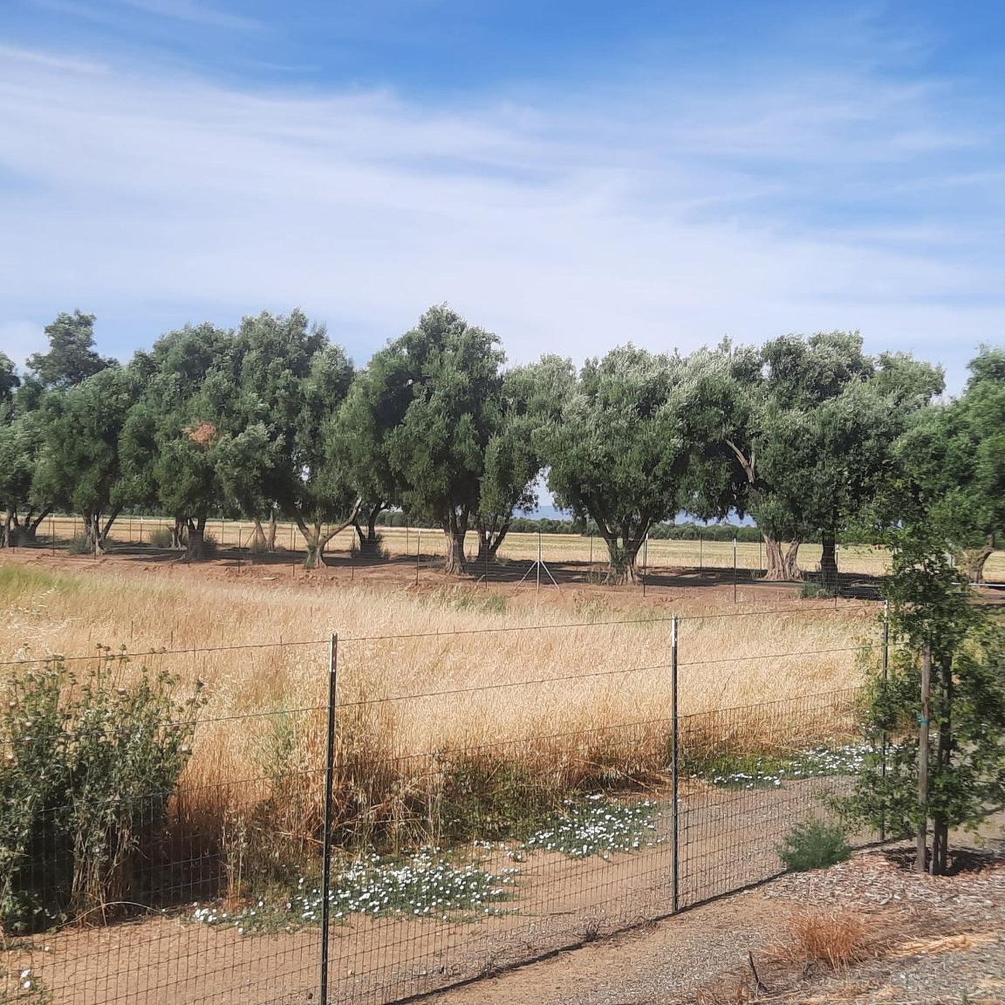
Gravel biking in Yolo County offers a diverse landscape characterized by extensive agricultural lands, natural reserves, and scenic waterways. The region features an abundance of unpaved surfaces, dirt roads, and levee systems, providing varied terrain for gravel cyclists. Riders can explore vast stretches of fertile farmland, including vineyards and orchards, alongside rolling hills and winding canyons. This blend of natural and cultivated environments creates a unique setting for off-road cycling.
Best gravel bike trails in Yolo County
- The most popular…
Last updated: November 11, 2026
18
riders
Easy gravel ride. Mostly paved surfaces.
11
riders
26.0km
01:35
30m
30m
Easy gravel ride. Mostly paved surfaces.

4.0
(3)
22
riders
Easy gravel ride. Mostly paved surfaces.
5
riders
15.9km
01:02
20m
20m
Easy gravel ride. Mostly paved surfaces.
1
riders
16.0km
00:49
10m
10m
Easy gravel ride. Mostly paved surfaces.
Our route recommendations are based on thousands of hikes, rides, and runs completed by other people on komoot.
Start today with a free account
Your next adventure awaits.

Tips from the Community

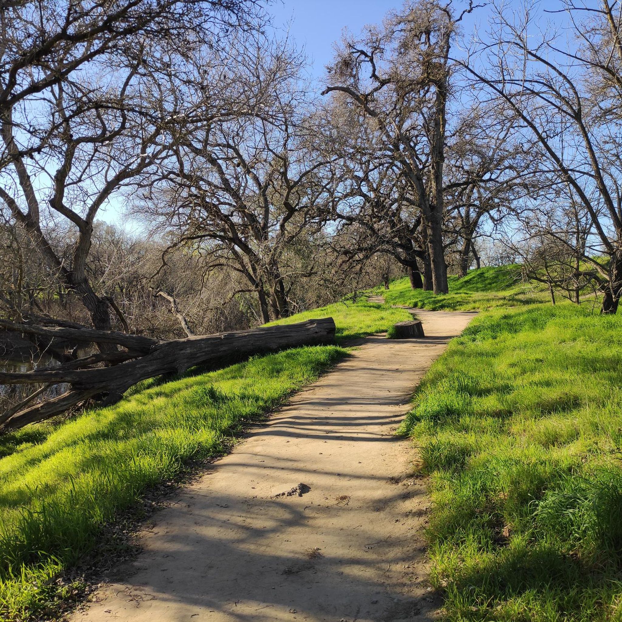
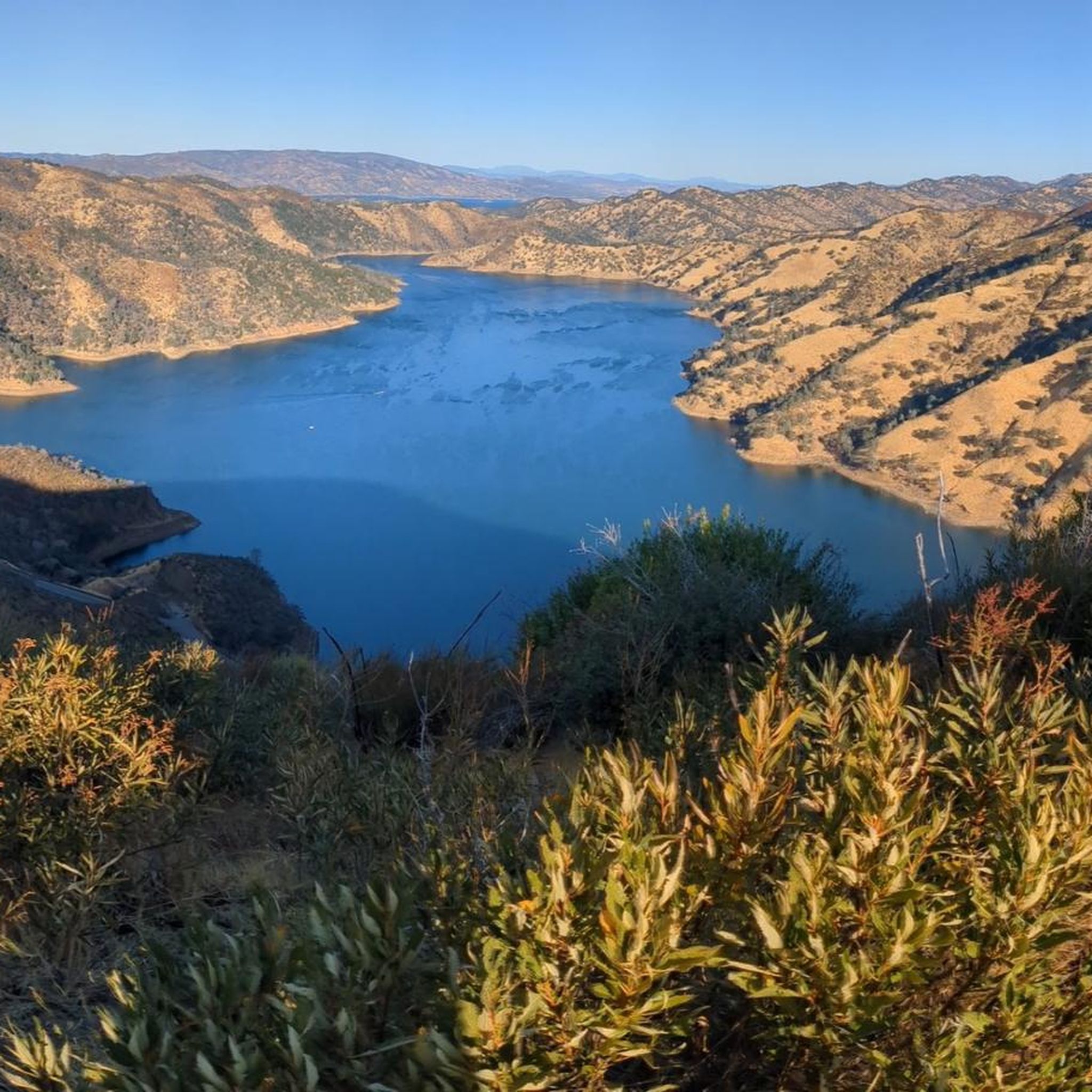
A small farm lake along the trail that can be a nice place to stop and watch the bird life.
0
0

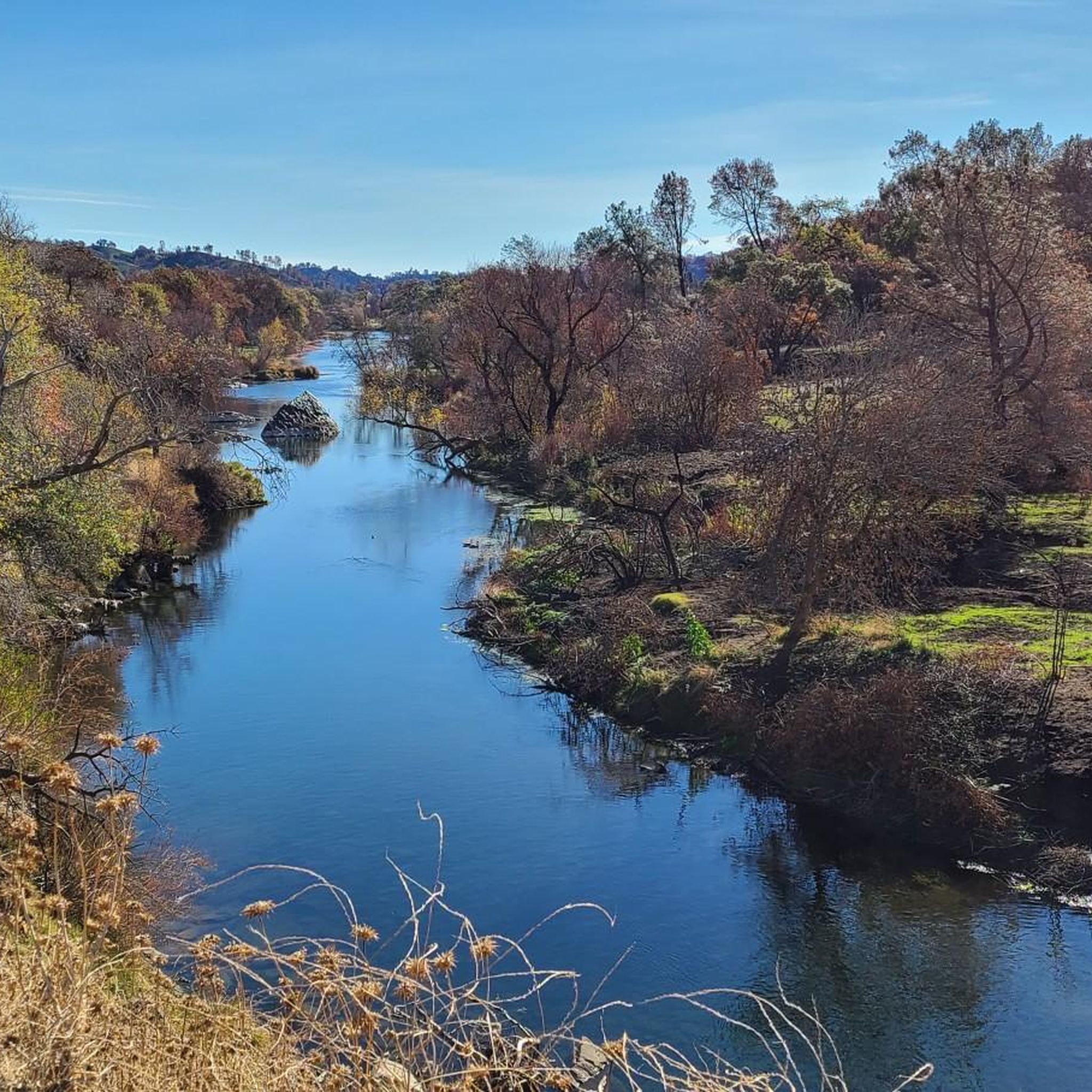
An easy spot to hop off your bike and lounge by the riverside for a little while.
0
0
This paved trail winds between Old Sacramento and Folsom — 32 miles in all — linking you up with lots of parks along the way. Plus some gorgeous views of the river it more or less parallels!
0
0

Little tip-outs on both sides to safely pull over & take pics; the north side (upriver) is deep & boaters fish there. the south side faces down river & the myriad of rapids there. This bridge is one of many along the Jedediah Smith Memorial Bike Trail; a 32 mile, 2 lane multi-use paved path (bikes, peds, equestrian) that runs twix Discovery Park & Granite Bay. IT IS IN ESSENCE OUR BIKE SUPERHIGHWAY..... No Vehicles Allowed. the Jededia is patrolled by red-shirted volunteers, Sac Sheriff & Rangers. there's also Emergency Call Boxes all along it & water spigots too (but only a few! 🤣😆)
0
0

The Harold Richey Memorial Bicycle Bridge, named after county commissioner Harold M. Richey and dedicated to him in 1987, is popular with families and cyclists, especially on weekends. The bridge does not allow cars, with rules on the bridge deck that outline right-of-way guidelines for pedestrians, equestrians, and cyclists.
1
0

The American River Bike Trail is also referred to as the Jedediah Smith Memorial Trail and runs 32 miles from Folsom to Old Sacramento, paralleling the American River.
0
0
The Tower Bridge is a vertical lift bridge that crosses the Sacramento River, connecting Sacramento with West Sacramento. This 160-foot iconic landmark has been in service since 1935.
0
0

This peaceful gravel trail runs alongside the Barge Canal, offering pleasant views of the canal, and you might even catch sight of some barges, as the trail's name suggests. There isn't much shade along the way, so it's best to start your hike early to avoid the heat.
0
0
Frequently Asked Questions
What kind of terrain can I expect on gravel bike trails in Yolo County?
Yolo County's gravel trails are characterized by a diverse mix of agricultural lands, natural reserves, and scenic waterways. You'll primarily encounter unpaved surfaces, dirt roads, and extensive levee systems. Routes often wind through vast stretches of fertile farmland, including vineyards and orchards, alongside rolling hills and winding canyons. Many paths offer scenic views of waterfowl and wildlife, especially along waterways like the American River.
Are there gravel routes suitable for beginners in Yolo County?
Yes, Yolo County offers several easy gravel routes perfect for beginners. For example, the Sutter's Landing Park – Guy West Bridge loop from 29th Street is an easy 16.4-mile (26.4 km) path with minimal elevation gain, offering a pleasant ride along the river. Another accessible option is the American River Bike Trail – Guy West Bridge loop from 59th Street, a 12.4-mile (19.9 km) trail through riverfront parkland.
What are some moderate gravel biking options in Yolo County?
For those looking for a bit more challenge, Yolo County has moderate gravel routes. The American River Bike Trail – Guy West Bridge loop from University/65th Street is a popular 20.2-mile (32.5 km) trail that follows the scenic American River. Another moderate option is the Tower Bridge – Tower Bridge loop from City College, which covers 21.8 miles (35.1 km) with some elevation changes.
Are there any family-friendly gravel biking trails in Yolo County?
Many of the easier, flatter routes along the American River are suitable for families. The extensive network of bike paths in and around Davis also provides safe and enjoyable options. For a relaxed experience, consider paths that wind through agricultural fields or along levees, which often have less traffic and offer scenic views. Always check the specific route details for terrain and distance to ensure it matches your family's comfort level.
What natural features or landmarks can I see along the gravel routes?
Yolo County's gravel routes offer views of diverse natural features and landmarks. You might encounter the fertile agricultural landscapes, including sunflower fields (especially mid-June to mid-July) and vineyards. Waterways like Putah Creek and Cache Creek offer scenic beauty. Specific landmarks include the historic Tower Bridge and Stevenson Bridge. The Lake Spafford area also provides a picturesque setting.
What is the best time of year to go gravel biking in Yolo County?
Spring and fall generally offer the most pleasant weather for gravel biking in Yolo County, with mild temperatures. Summer can be quite warm, but early mornings are often enjoyable. If you're interested in seeing the vibrant sunflower fields, plan your visit between mid-June and mid-July. Winter rides are possible, but be prepared for cooler temperatures and potential rain, which can make some unpaved sections muddy.
Are there any loop gravel trails in Yolo County?
Yes, many of the gravel routes in Yolo County are designed as loops, offering convenient starting and ending points without needing to retrace your path. All the routes highlighted in this guide, such as the American River Bike Trail loops and the Tower Bridge loop, are circular, allowing for a continuous and varied riding experience.
Where can I find parking for gravel bike trails in Yolo County?
Parking availability varies by trailhead. For routes starting near urban areas like Davis or Sacramento, public parking lots or street parking may be available near parks or designated trail access points. For routes in more rural areas like Winters or Capay Valley, look for designated parking areas near trailheads or consider parking in small town centers where permitted. Always check local signage for parking regulations.
What do other gravel bikers enjoy most about gravel biking in Yolo County?
The komoot community highly rates gravel biking in Yolo County, with an average score of 4.2 stars. Reviewers often praise the diverse landscape, which offers a unique blend of agricultural scenery, quiet levee systems, and riverfront paths. Many appreciate the variety of terrain, from smooth gravel to more challenging dirt roads, and the opportunity to explore charming small towns and natural reserves.
Are there opportunities for food and drink along or near the gravel routes?
Yes, Yolo County is known for its agricultural bounty and farm-to-fork dining experiences. Towns like Davis and Winters, which serve as gateways to many gravel routes, offer charming cafes, restaurants, and local markets where you can refuel. The Capay Valley also features organic farms and small shops. Planning your route to pass through these towns can provide excellent opportunities for a mid-ride break or a post-ride meal.
What makes Yolo County a unique destination for gravel biking?
Yolo County stands out for its unique blend of extensive agricultural lands, including vast sunflower fields and vineyards, combined with natural reserves and scenic waterways. The abundance of unpaved surfaces, dirt roads, and levee systems provides a distinct gravel biking experience away from asphalt. This diverse landscape, coupled with a welcoming atmosphere and charming small towns, offers a tranquil yet engaging environment for cyclists of all levels.
Most popular routes in Yolo County
Most popular attractions in Yolo County

Get inspired with the komoot mobile app


Explore more
Browse the best Gravel rides in other regions.
