The best gravel rides in Linn County
4.8
(17)
64
riders
17
rides
Gravel biking in Linn County, Oregon, offers diverse routes across the Willamette Valley and into the Coast Range. The terrain includes low-traffic backcountry byways, scenic farmland, and challenging climbs through forests. Features such as McDonald Research Forest, McCulloch Peak, and Cronemiller Lake are part of the landscape. The region provides a mix of routes, from those traversing agricultural areas to those with significant elevation changes in forested hills.
Best gravel bike trails in Linn County
- The most popular gravel bike…
Last updated: August 21, 2026
5.0
(8)
26
riders
39.1km
02:23
600m
600m
Hard gravel ride. Very good fitness required. Mostly paved surfaces. Suitable for all skill levels.
5.0
(3)
9
riders
36.5km
02:31
780m
780m
Hard gravel ride. Very good fitness required. Mostly paved surfaces. Suitable for all skill levels.

Sign up for free
5.0
(4)
8
riders
29.8km
02:01
540m
540m
Hard gravel ride. Very good fitness required. Mostly paved surfaces. Suitable for all skill levels.
8
riders
29.9km
02:15
770m
770m
Hard gravel ride. Very good fitness required. Mostly paved surfaces. Suitable for all skill levels.
4.0
(1)
1
riders
15.4km
01:18
520m
520m
Hard gravel ride. Very good fitness required. Mostly paved surfaces. Suitable for all skill levels.
8
riders
58.7km
03:56
970m
970m
Hard gravel ride. Very good fitness required. Mostly paved surfaces. Suitable for all skill levels.
5.0
(1)
4
riders
41.6km
02:44
720m
720m
Hard gravel ride. Very good fitness required. Mostly paved surfaces. Suitable for all skill levels.
Get access to more routes and recommendations from other explorers.
Sign up for free
Already have an account?
Our route recommendations are based on thousands of hikes, rides, and runs completed by other people on komoot.
Start today with a free account
Your next adventure awaits.
Login or Signup

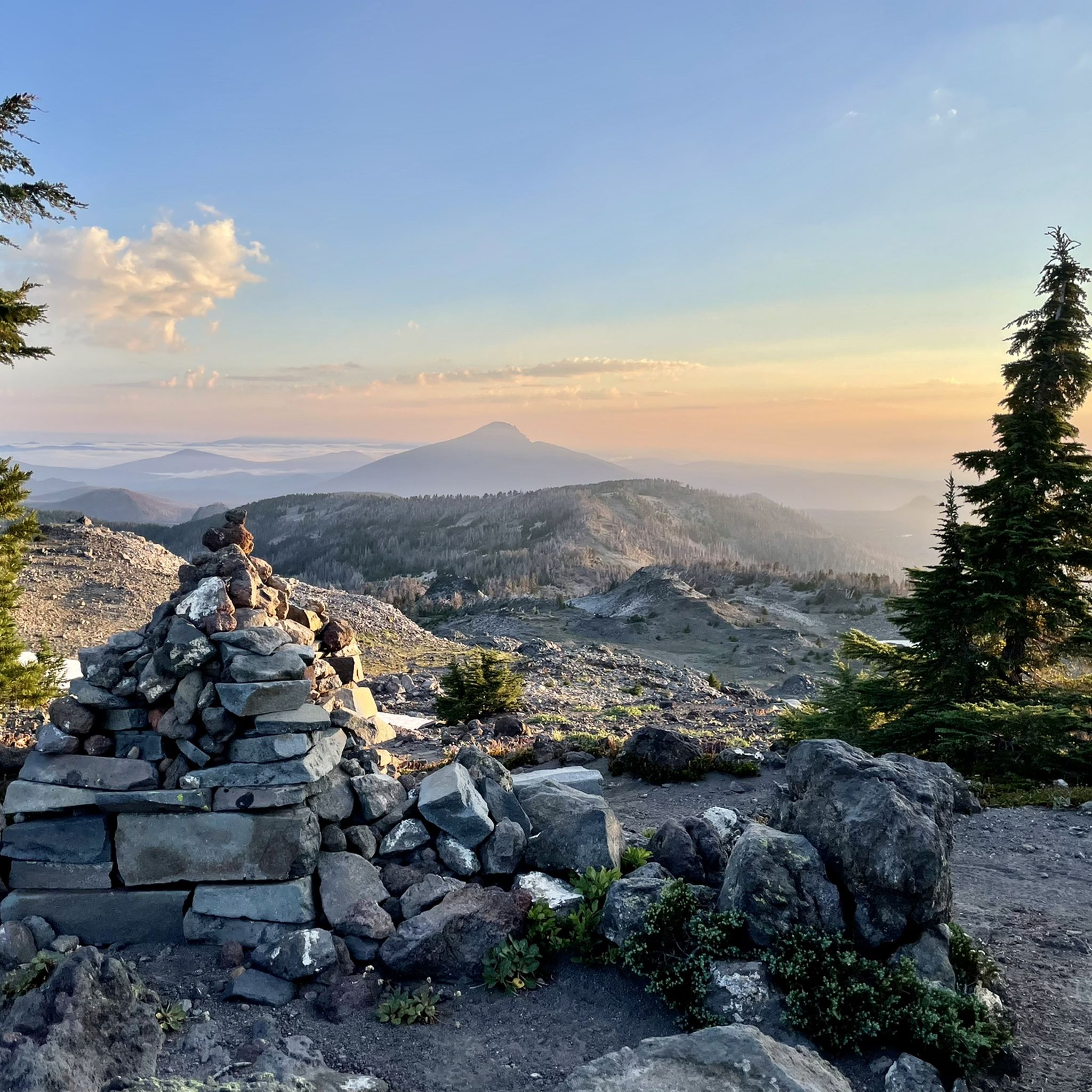
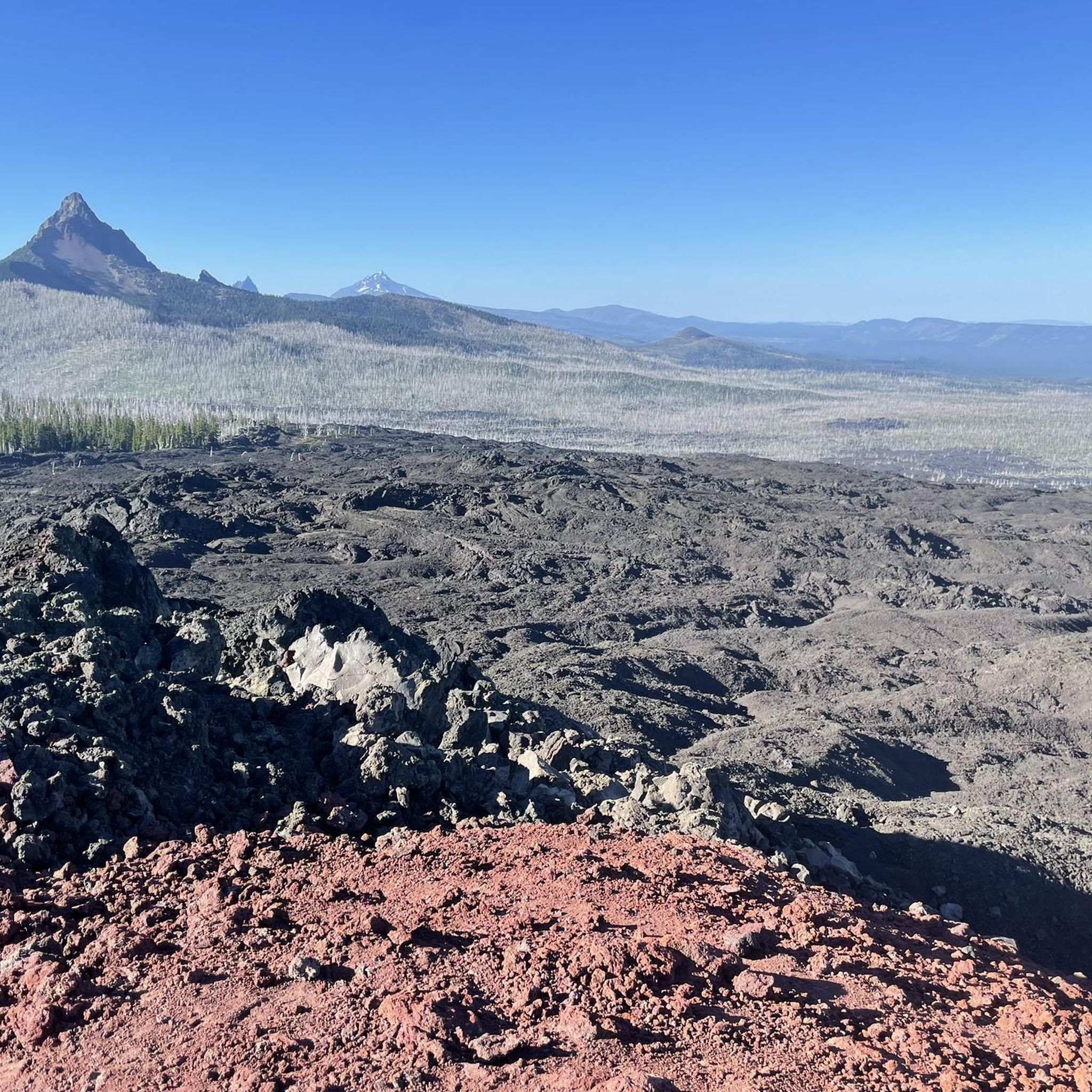
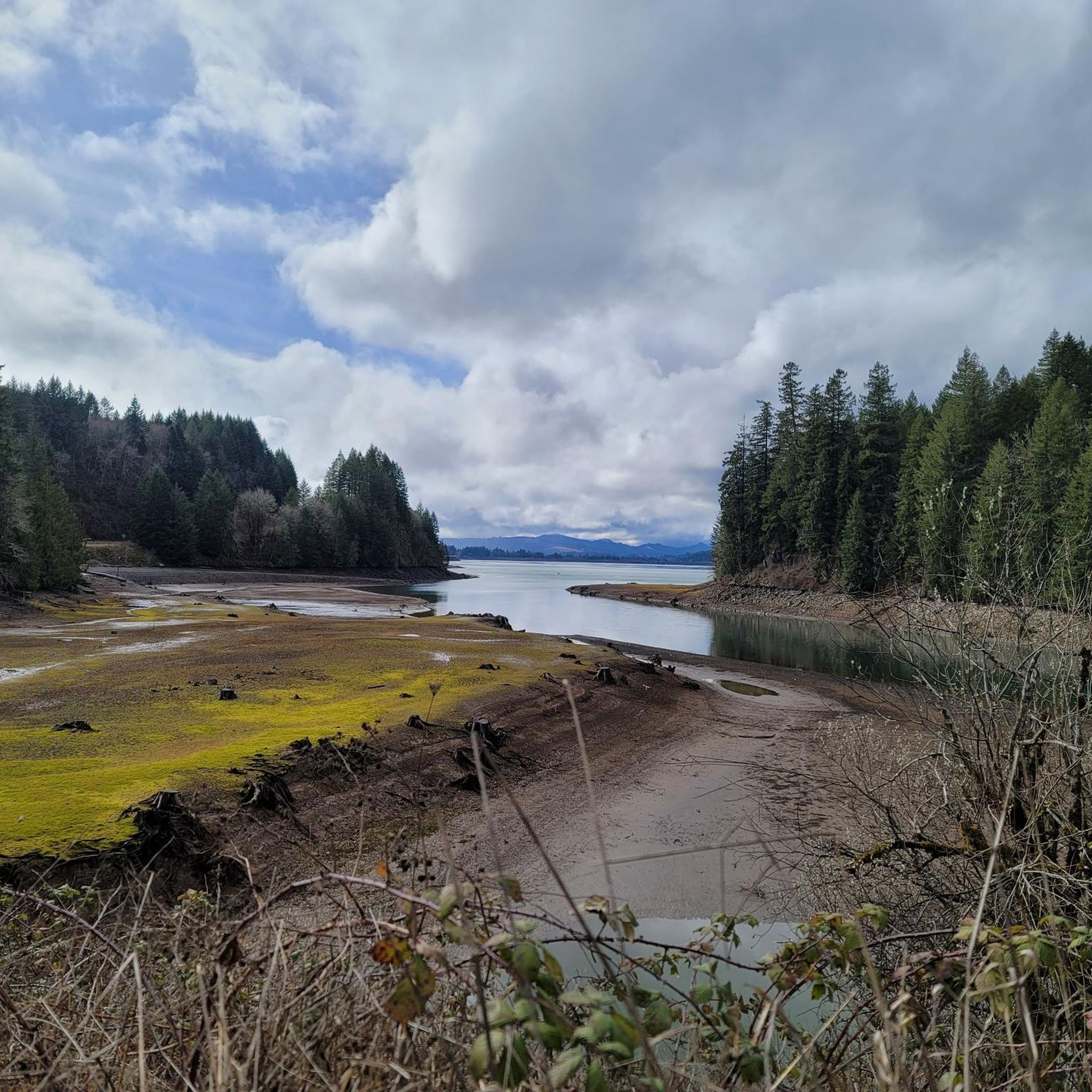

Other adventures in Linn County

Tips from the Community

Peavy Arboretum is a small teaching forest managed by Oregon State University.
0
0
Sulphur Springs Road is the route to take up to Lewisburg Saddle, which is an intersection with parking and access to various trails. This road is open to bikes and cars.
0
0

The saddle has a parking lot with restrooms, and access to a handful of great easy riding trails through the woods.
0
0
Just below the summit the trees open up, and you get a panoramic view south over Philomath and the mountains by Corvallis Watershed.
0
0

As you continue along the upper part of forest service road, you’ll pass a gate and a sign directing you to the C2C trail. If you started from Corvallis follow the signs and turn left onto the North Ridge Extension Trail. The North Ridge Extension Trail is closed to bicycles from October 16 through May 15. Woods Creek Road runs parallel and remains open all year round, so if you prefer this route, continue straight and make a left. If you are coming from the North Ridge Extension Trail, you can make a right here to head toward Old Peak Road.
0
0
Old Peak Road consists of rural gravel roads, Forest Service roads, and single-track dirt trails. It is shared by both hikers and bikers as the first segment of the C2C trail. A permit is required and can be obtained from the Starker Forests Offices. Permit: https://starkerforests.com/land-access/
1
0
If you have the energy, take a detour off the road and head up for some great views of the Coast Range. The path is a bit of a climb, but it's short, and the views will pay you back! It's a nice place for a rest.
0
0

An old gravel road takes you right up to the top of McCulloch Peak, the highest point in McDonald Research Forest. You can get great views of Bald Hill and Dimple Hill from here.
1
0
Frequently Asked Questions
How many gravel bike trails are there in Linn County, Oregon?
Linn County, Oregon, offers a diverse network of over 15 gravel bike trails. These routes traverse varied terrain, from the low-traffic backcountry byways of the Willamette Valley to challenging climbs in the forested Coast Range.
What kind of terrain can I expect on gravel bike trails in Linn County?
Gravel biking in Linn County, Oregon, features a mix of terrain. You'll find low-traffic backcountry byways, scenic farmland, and challenging climbs through forested areas, particularly as you venture into the Coast Range. Routes often include gravel roads, some paved sections, and significant elevation changes.
Are there any family-friendly gravel biking options in Linn County?
While many routes in Linn County, Oregon, are considered difficult due to significant elevation gains, some sections of trails or local parks might offer more gentle riding suitable for families. For example, the Willamette Valley's lowlands feature low-traffic byways that could be explored for shorter, less strenuous rides. Always check individual route details for difficulty and elevation before heading out with family.
What are some notable natural features or landmarks I can see while gravel biking in Linn County?
Linn County, Oregon, offers several interesting natural features and landmarks. You can ride past McKenzie Pass Summit & Dee Wright Observatory, visit Tamolitch Blue Pool, or see the impressive Sahalie Falls. Many routes also feature Little Belknap Crater, Mount Washington Wilderness, and Basalt Formations and Soda Spring at Cascadia State Park. Additionally, routes like the Harry R. Patterson Road – Cronemiller Lake loop pass by Cronemiller Lake, a historic feature.
Are there any circular gravel bike routes in Linn County?
Yes, many gravel bike routes in Linn County, Oregon, are designed as loops. For example, the popular Daves Road 580 – Dimple Hill loop from Brandis Natural Area and the challenging Botanical Pond and Fountains – Harris Bridge loop from College Hill West Historic District are both circular routes. You can also explore the Gravel loop from Oak Creek Trailhead for a shorter, yet challenging, forested loop.
What is the best time of year for gravel biking in Linn County?
Linn County, Oregon, offers varied conditions throughout the year. While specific seasonal recommendations aren't provided, the region benefits from the varied terrain of the Willamette Valley and the Coast Range. Generally, spring and fall offer pleasant temperatures for riding, while summer can be warm. Winter riding might be possible in lower elevations but could involve wet conditions and require appropriate gear.
What do other gravel bikers enjoy most about gravel biking in Linn County?
The gravel biking routes in Linn County, Oregon, are highly rated by the komoot community, with an average score of 4.5 stars from over 9 reviews. Riders often praise the diverse terrain, from scenic farmland to challenging forested climbs, and the opportunities to explore features like McDonald Research Forest and Cronemiller Lake. The variety of routes caters to those seeking both endurance challenges and picturesque rides.
Are there any viewpoints or scenic spots along the gravel bike routes?
Absolutely. Many routes in Linn County, Oregon, offer scenic views. For instance, the Daves Road 580 – Dimple Hill loop includes climbs towards Dimple Hill, providing views of the surrounding area. The McDonald Research Forest is home to McCulloch Peak, which offers great views of Bald Hill and Dimple Hill from its old gravel roads. You can also find specific viewpoints like Iron Mountain Look-out and Carpenter Mountain Lookout.
Are there options for different difficulty levels on Linn County gravel trails?
While most gravel routes in Linn County, Oregon, are considered difficult due to significant elevation gains, the network does offer some variety. The Willamette Valley's lowlands feature low-traffic, backcountry byways that might be less strenuous, while the Coast Range provides more challenging mixed-terrain rides. Always check the route details on komoot for specific difficulty ratings and elevation profiles to match your skill level.
Where can I find parking for gravel bike trails in Linn County?
Many gravel routes in Linn County, Oregon, start from areas with designated parking. For example, the popular Daves Road 580 – Dimple Hill loop begins from Brandis Natural Area, which typically offers parking. The Gravel loop from Oak Creek Trailhead also indicates a starting point with likely parking facilities. It's always advisable to check the specific tour details on komoot for parking information at the trailhead.
Can I bring my dog on gravel bike trails in Linn County?
Policies regarding dogs on trails can vary by specific park or land management area within Linn County, Oregon. While many natural areas are dog-friendly, it's crucial to check the regulations for each specific trail or park you plan to visit. Always ensure your dog is on a leash and that you clean up after them to preserve the natural environment for all users.
Are there any amenities like cafes or accommodation near the gravel bike trails in Linn County?
Linn County, Oregon, includes charming towns and communities within the Willamette Valley that offer various amenities. While specific cafes or accommodations directly on every trail are not guaranteed, you can often find options in nearby towns like Corvallis or other smaller communities. Planning your route to pass through or near these towns can provide opportunities for refreshments and lodging.
Most popular routes in Linn County
Most popular attractions in Linn County

Get inspired with the komoot mobile app


Explore more
Browse the best Gravel rides in other regions.
