The best gravel rides around Etang De Diefenbach
4.5
(2)
60
riders
28
rides
Gravel bike trails around Etang De Diefenbach feature a landscape dominated by the 75-hectare Diefenbach Pond, surrounded by over 320 hectares of forest. The terrain offers a mix of surfaces, including forest paths and unpaved sections, providing varied gravel biking experiences. This region is characterized by its natural features, with routes catering to different fitness levels.
Best gravel bike trails around Etang De Diefenbach
- The most popular gravel bike trail is Sarralbe Town Centre – Étang d hirchbach loop from Farschviller, a 52.8 miles (84.9 km) trail that takes 5 hours 30 minutes to complete, offering a long-distance journey through varied landscapes.
- Another top favourite among local gravel bikers is Mine Wendel – La Mine, Carreau Wendel loop from Farschviller, a difficult 38.6 miles (62.1 km) path. This route explores areas around the historic Mine Wendel, providing a challenging ride with significant elevation gain.
- Local gravel bikers also love the Lower Hoste Pond – The Maginot Fort at Barst loop from Diffembach-lès-Hellimer, a 40.5 miles (65.1 km) trail leading through pond areas and towards historic sites, often completed in about 4 hours 39 minutes.
- Gravel biking around Etang De Diefenbach is defined by the large Diefenbach Pond, extensive forests, and diverse terrain that includes both paved and unpaved sections. The network offers options for different ability levels, from moderate to difficult routes.
- The guide includes highly-rated routes that showcase the best of the region's landscape. More than 40 gravel bikers have used komoot to explore Etang De Diefenbach's varied terrain.
Last updated: July 3, 2026
14
riders
84.9km
05:31
690m
690m
Hard gravel ride. Very good fitness required. Mostly paved surfaces. Suitable for all skill levels.
4.0
(1)
10
riders
56.3km
03:27
450m
450m
Moderate gravel ride. Good fitness required. Mostly paved surfaces. Suitable for all skill levels.

Sign up for free
5.0
(1)
4
riders
32.5km
02:21
280m
280m
Moderate gravel ride. Good fitness required. Mostly paved surfaces. Suitable for all skill levels.
6
riders
65.1km
04:38
570m
570m
Hard gravel ride. Very good fitness required. You may need to push your bike for some segments of this route.
8
riders
61.0km
04:01
780m
780m
Hard gravel ride. Very good fitness required. Mostly paved surfaces. Suitable for all skill levels.
Get access to more routes and recommendations from other explorers.
Sign up for free
Already have an account?
Our route recommendations are based on thousands of hikes, rides, and runs completed by other people on komoot.
Start today with a free account
Your next adventure awaits.
Login or Signup

Tips from the Community


Distant view as far as the Vosges Mountains
0
0

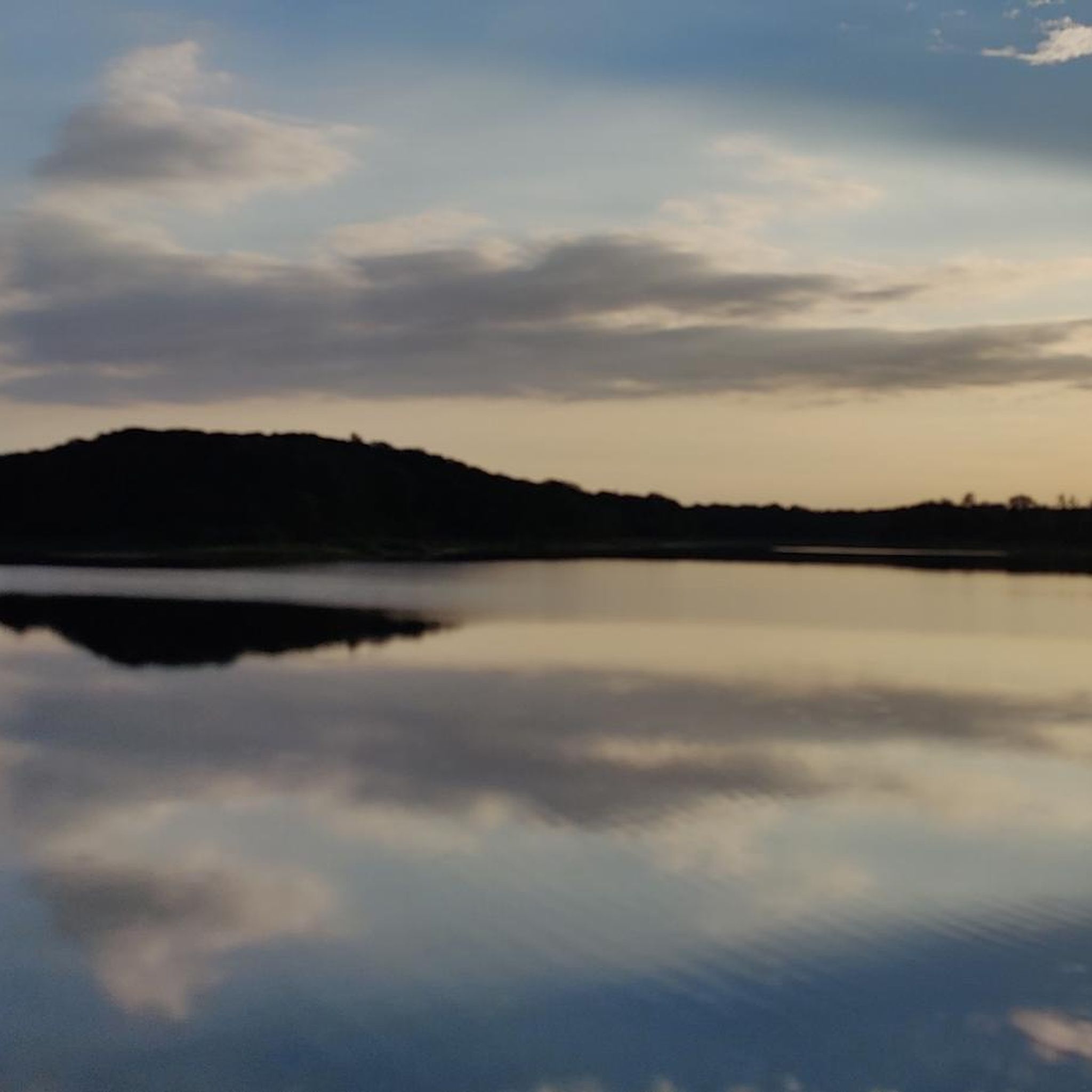
The Hoste Bas pond borders the Hoste Haut pond. It was part of the Maginot Line defense system. Today, they are home to numerous species of fish, much to the delight of anglers.
0
1
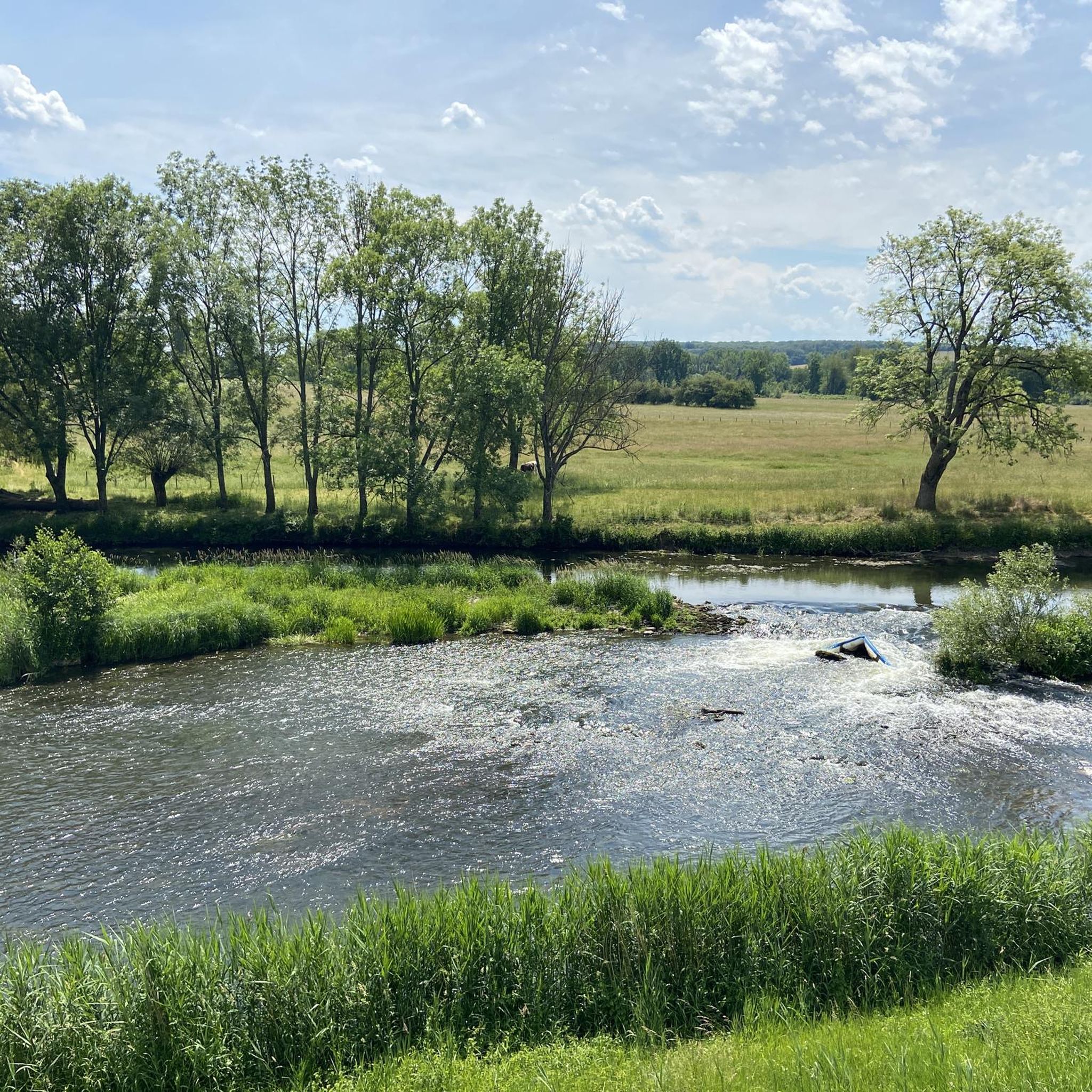
The cycle path runs along the Sarralbe river stop. There are picnic tables for a break.
0
0
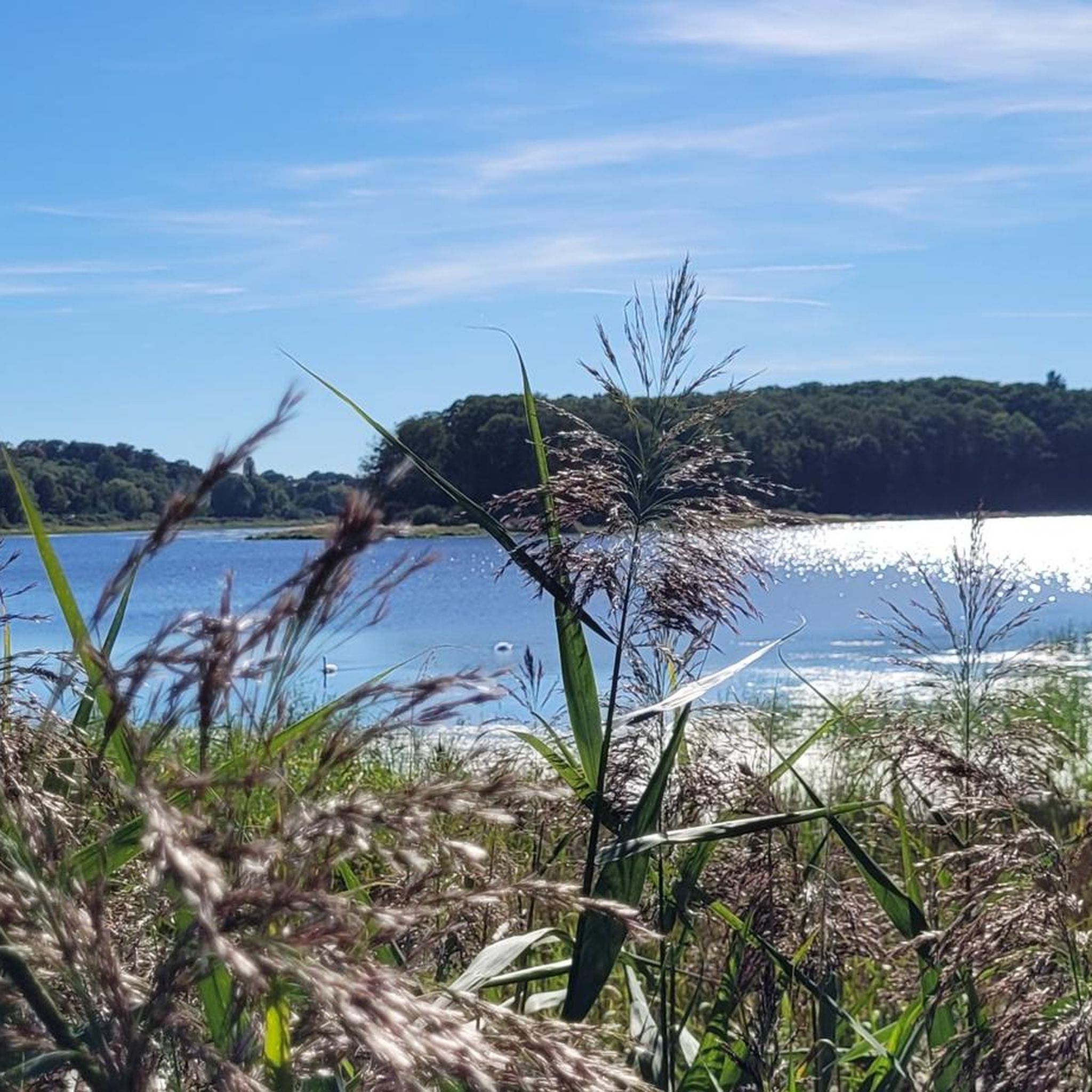
The Diefenbach Pond covers 75 hectares and is one of the must-see sites along the aquatic Maginot Line. It is home to a wide variety of wildlife. It's not uncommon to encounter ducks, geese, and herons on the banks while strolling.
0
0
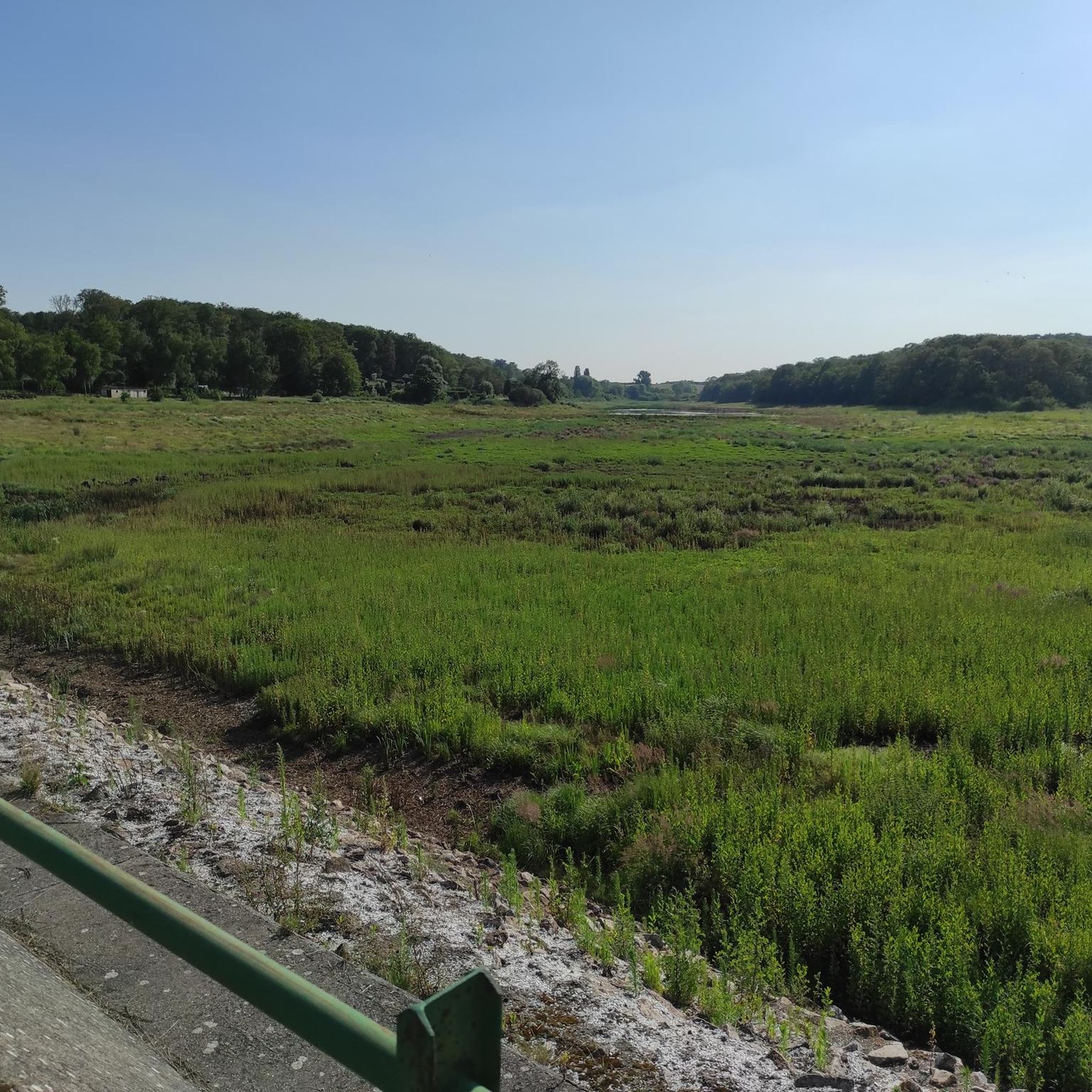
Excavation is difficult to find because it is overgrown and therefore completely unspectacular
1
0
beautiful flat bike path, away from traffic
1
1
beautiful and flat cycle path, away from traffic
0
0
Frequently Asked Questions
How many gravel bike trails are available around Etang De Diefenbach?
There are nearly 40 gravel bike trails around Etang De Diefenbach listed on komoot. These routes offer a diverse range of experiences, from moderate to challenging rides, exploring the pond, forests, and surrounding areas.
What kind of terrain can I expect on the gravel bike trails?
The terrain around Etang De Diefenbach is quite varied. You'll encounter a mix of well-maintained paths, forest trails, and potentially some more rugged sections. While some routes feature mostly paved surfaces, others delve deeper into the extensive forests, offering a true gravel experience.
Are there any family-friendly gravel biking routes in the area?
Yes, there are a few easier routes suitable for families or those looking for a less strenuous ride. While many routes are moderate to difficult, you can find options that allow you to enjoy the scenic beauty without significant challenges. Look for routes with lower elevation gain and shorter distances.
What are some notable natural features or landmarks to look out for while cycling?
The central feature is the tranquil Diefenbach Pond itself, a large 75-hectare body of water with historical significance as part of the 'aquatic Maginot Line'. You'll also cycle through over 320 hectares of extensive forests. Keep an eye out for the ornithological observatory for wildlife viewing, and several routes, particularly on the northern side, lead to magnificent panoramic viewpoints with orientation tables.
Are there any circular gravel routes available?
Many of the gravel routes around Etang De Diefenbach are designed as loops, allowing you to start and finish at the same point. For example, the Farschviller Pond – Monument of the Forest Path loop from Farschviller is a moderate 32.5 km circular route that offers a great experience.
What is the best time of year to go gravel biking in Etang De Diefenbach?
The area offers seasonal beauty throughout the year. Spring brings vibrant wildflowers, while autumn transforms the landscape with warm, striking colors. The extensive forests provide shaded paths, making it pleasant even after rain or during warmer months. Each season offers a unique experience.
Are dogs allowed on the gravel bike trails?
Generally, dogs are welcome on trails in natural areas, especially if kept on a leash. However, specific rules can vary by local regulations or private land. It's always best to ensure your dog is well-behaved and that you clean up after them to maintain the natural environment for everyone.
Where can I find parking for gravel biking near Etang De Diefenbach?
While specific parking areas aren't detailed in every route description, many trails start from villages or accessible points where public parking is typically available. Look for starting points near towns like Farschviller or Grundviller, which often have designated parking facilities for visitors accessing the natural areas.
Are there any cafes or restaurants near the gravel biking routes?
The region around Etang De Diefenbach includes nearby towns such as Puttelange-aux-Lacs, Sarralbe, and Farschviller. These towns are likely to offer cafes, restaurants, or bakeries where you can refuel before or after your ride. Some routes, like the Lower Hoste Pond – Sarralbe Town Centre loop from Farschviller, even lead towards urban centers, making it convenient to find amenities.
What do other gravel bikers enjoy most about the Etang De Diefenbach area?
Gravel bikers frequently praise the diverse landscape, which combines the serene Diefenbach Pond with extensive, refreshing forests. The variety of terrain, from well-maintained paths to more challenging sections, is also a highlight. Many appreciate the opportunity to explore both natural beauty and historical elements, often with rewarding panoramic views.
Are there any particularly challenging gravel routes for experienced riders?
Yes, for experienced riders seeking a challenge, there are several difficult routes with significant elevation gain and longer distances. For example, the Sarralbe Town Centre – Étang d hirchbach loop from Farschviller is a demanding 84.8 km trail, and the Mine Wendel – La Mine, Carreau Wendel loop from Farschviller offers a challenging 63.5 km ride with substantial climbing.
Can I reach Etang De Diefenbach by public transport for gravel biking?
While specific public transport connections directly to trailheads might be limited, you can often reach nearby towns like Sarralbe or Puttelange-aux-Lacs by regional bus or train services. From there, you might need to cycle a short distance to access the main gravel biking areas around the pond. It's advisable to check local transport schedules in advance.
Most popular routes around Etang De Diefenbach

Get inspired with the komoot mobile app


Explore more
Browse the best Gravel rides in other regions.
