The best gravel rides around Ambt Montfort
4.5
(193)
2,445
riders
163
rides
Gravel biking around Ambt Montfort offers diverse landscapes in the Dutch province of Limburg. The region features serene forests, picturesque lakes, and varied terrain suitable for off-road cycling. A notable natural highlight is the Elmpter Schwalmbruch Nature Reserve, which includes unique boardwalk sections through swamp landscapes and marsh grass pastures. The area provides an extensive network of routes traversing natural environments.
Best gravel bike trails around Ambt Montfort
- The most popular gravel bike trail is The Meinweg Heath – Dalheim…
Last updated: July 1, 2026
5.0
(5)
100
riders
52.7km
03:14
220m
220m
Hard gravel ride. Good fitness required. You may need to push your bike for some segments of this route.
5.0
(1)
16
riders
50.3km
03:35
100m
100m
Moderate gravel ride. Good fitness required. Mostly paved surfaces. Suitable for all skill levels.

Sign up for free
5.0
(1)
20
riders
43.0km
03:09
200m
200m
Moderate gravel ride. Good fitness required. Mostly paved surfaces. Suitable for all skill levels.
26
riders
15.5km
01:13
30m
30m
Easy gravel ride. Great for any fitness level. Mostly paved surfaces. Suitable for all skill levels.
4.5
(2)
7
riders
37.0km
02:16
120m
120m
Moderate gravel ride. Good fitness required. Mostly paved surfaces. Suitable for all skill levels.
Get access to more routes and recommendations from other explorers.
Sign up for free
Already have an account?
Our route recommendations are based on thousands of hikes, rides, and runs completed by other people on komoot.
Start today with a free account
Your next adventure awaits.
Login or Signup
Popular around Ambt Montfort
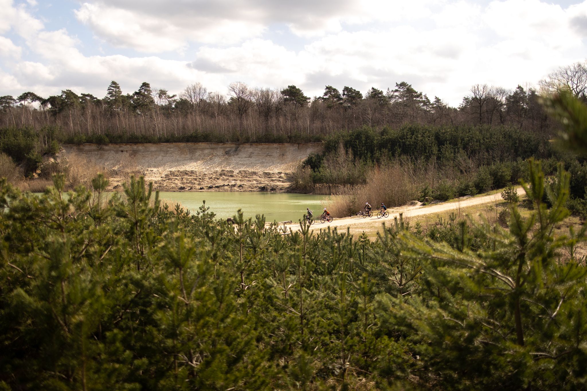
The Pieterpad by bike – From Pieterburen to Sint-Pietersberg
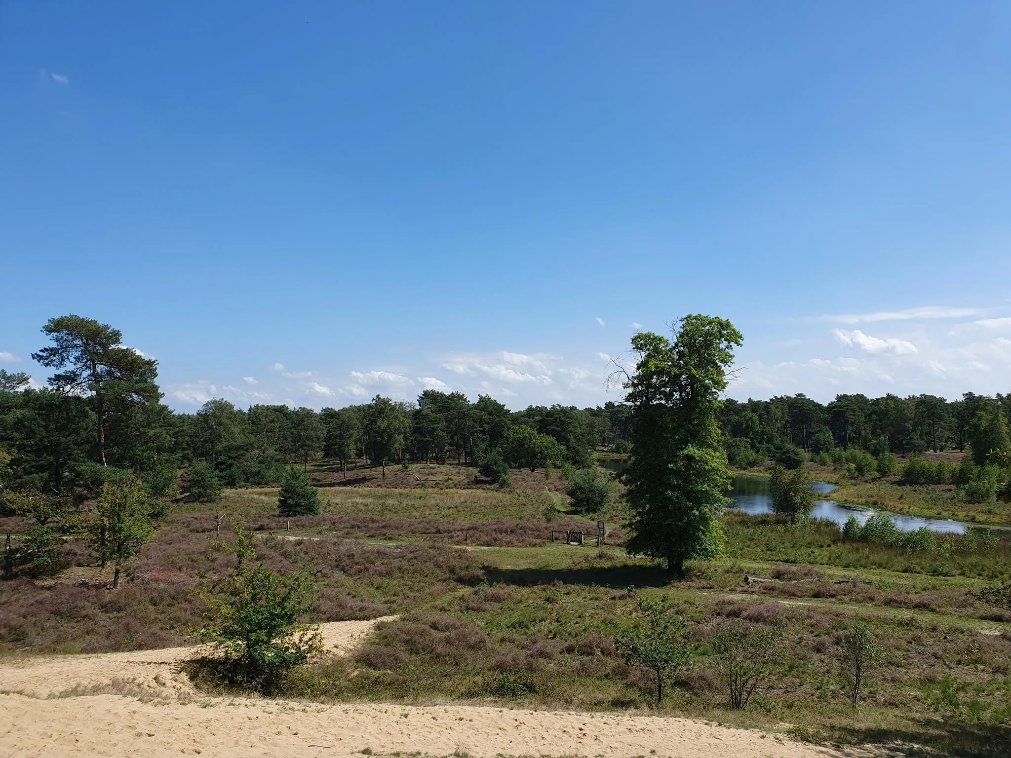
The Maas-Niederrhein Trail - Cross-border hiking in 19 stages
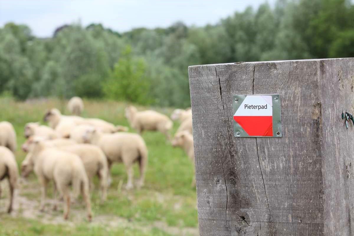
From Kasteel Vorden to the Sint-Pietersberg – Pieterpad long-distance hike part 2
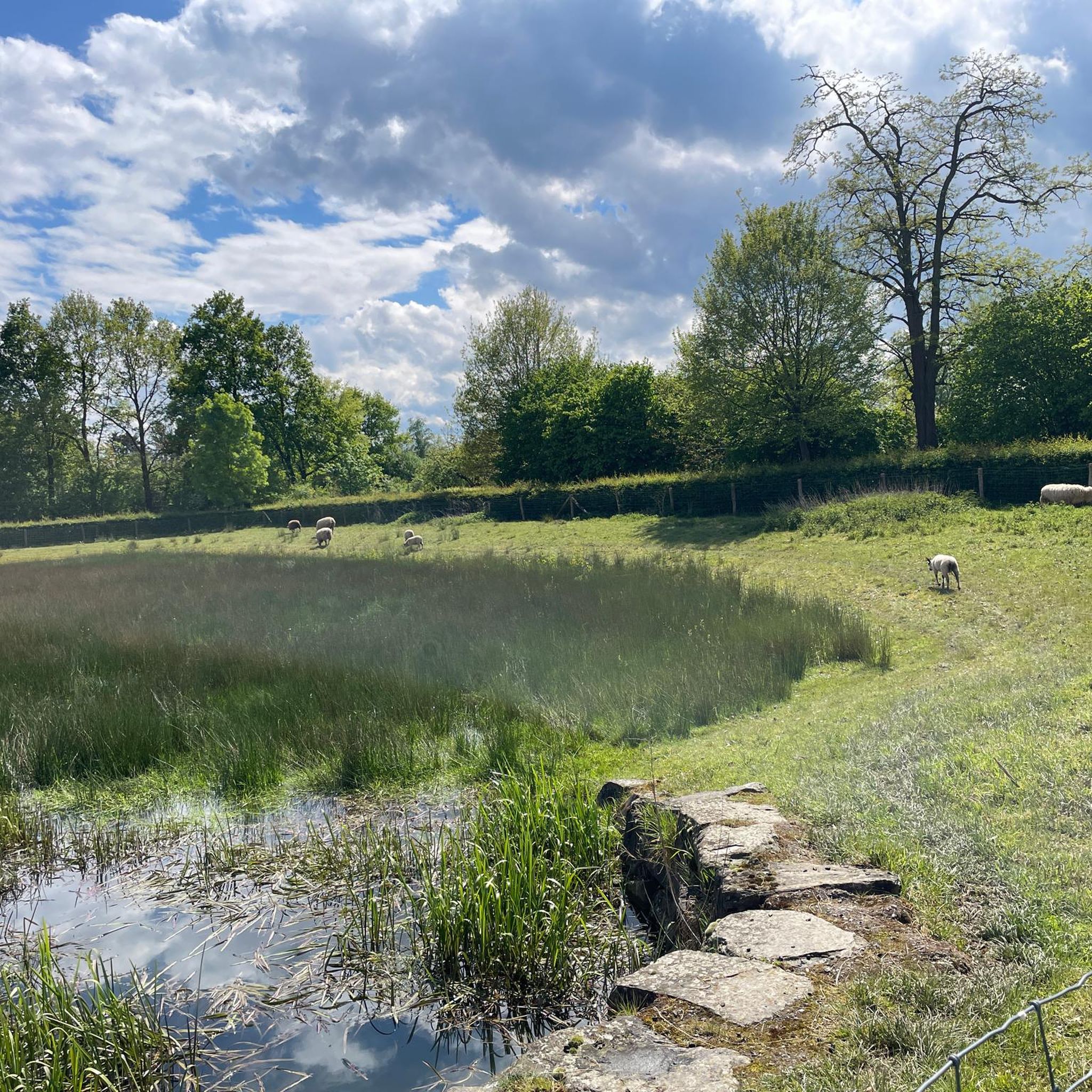
Hiking around Ambt Montfort
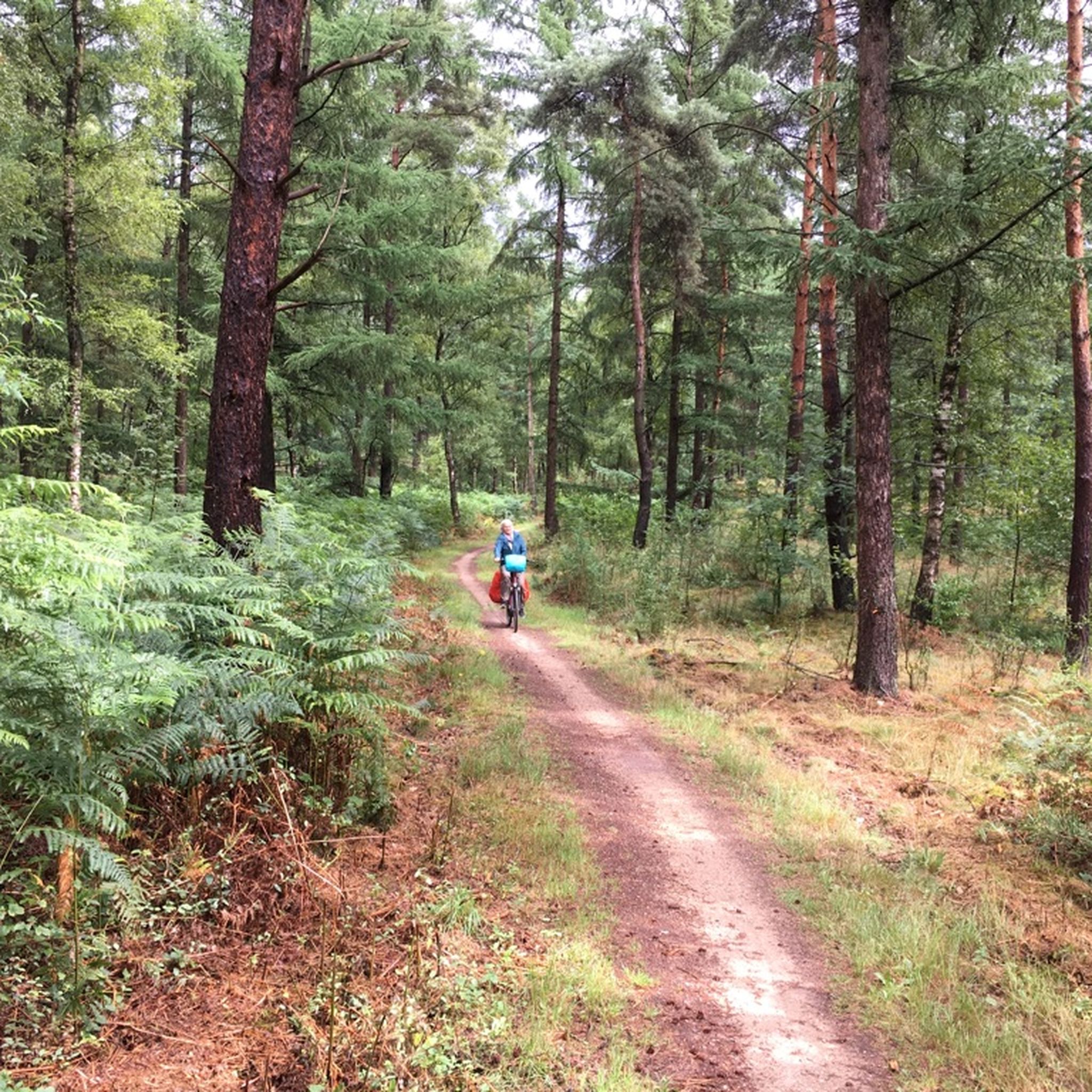
Cycling around Ambt Montfort
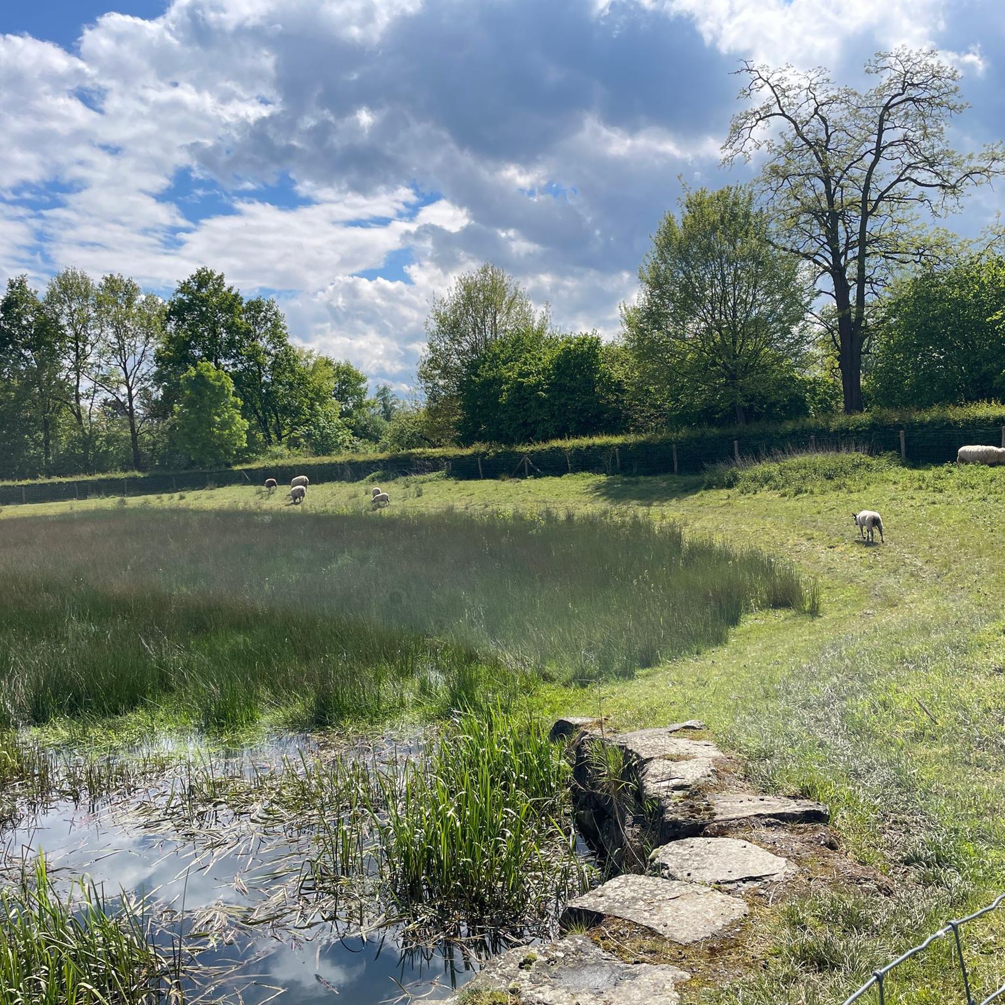
Road Cycling Routes around Ambt Montfort
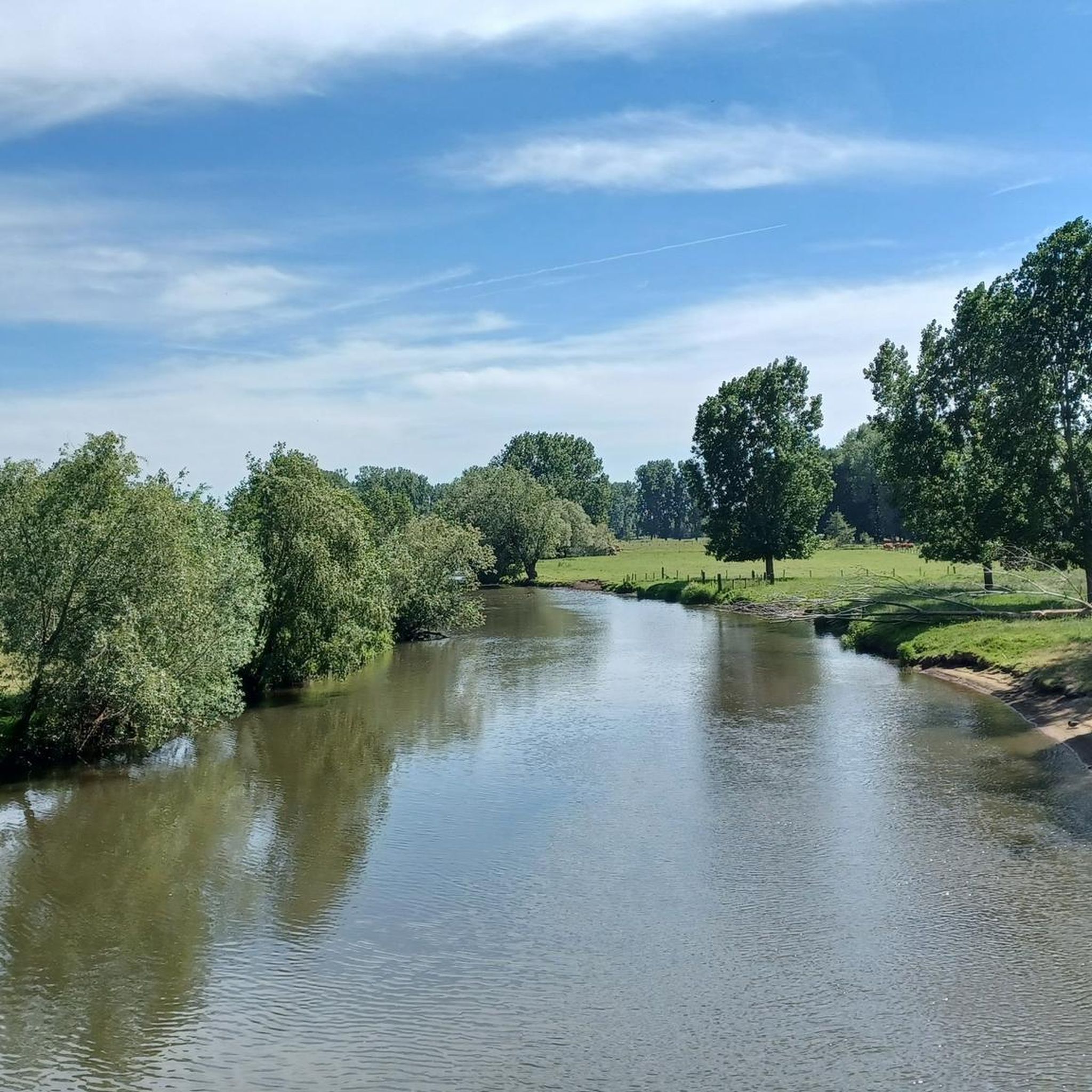
Running Trails around Ambt Montfort
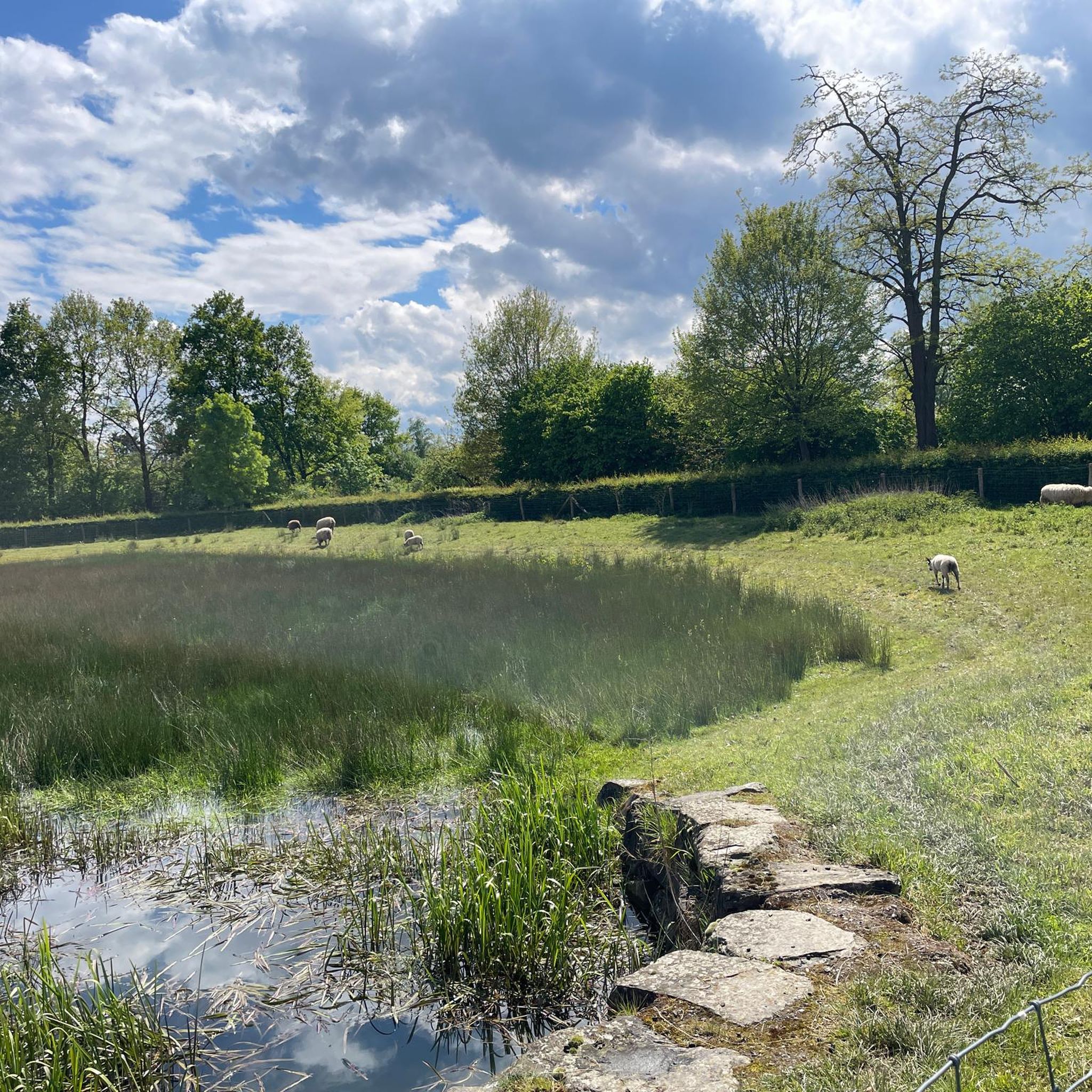
MTB Trails around Ambt Montfort
Other adventures around Ambt Montfort


Tips from the Community

A sand dune, there are more of them in the area. This one is grazed by horses to keep the area open.
0
1
An old gravel pit, but now a bird paradise
1
0
A steep climb or a steep descent at the Hooibaan. That's also possible on the Meinweg.
1
0

Great area 👁️👁️ we recommend it
0
0

In Nationaal Park De Meinweg you will find an important railway heritage, the old IJzeren Rijn railway line. This is a historic railway route that was once one of the most important international railway connections and runs right through the area. Nowadays it is disused and sustainably integrated into the landscape, but the tracks are still clearly recognizable and walkable. The IJzeren Rijn (German: Eisenbahn Rhein) was originally a railway line that led from the port of Antwerp (Belgium) via Weert and Roermond to Mönchengladbach and the Ruhr area (Germany). The line was built between 1879 and 1880 as an important freight connection for the supply of cotton and industrial products to the Rhine and Ruhr areas. Due to political and economic circumstances, the track regularly changed its use and intensity, but it remained in operation for a long time with, among other things, double-track sections. Throughout the 20th century, the use of the IJzeren Rijn declined. In the Netherlands, the line was still used as a single track after the Second World War until the last regular train service between Roermond and Dalheim stopped around 1991. After that, the railway line on that section was taken out of use and fell into disrepair. However, the remaining rails, track beds and alignments were never completely dismantled in the part that runs through De Meinweg, and parts of the alignment are still in the park and are recognizable as old railway lines, overgrown with vegetation and integrated into walking paths. In Nationaal Park De Meinweg, you can freely walk and cycle on this old railway route. Remnants of the alignment itself are visible in the landscape as long straight lines through forest and heathland, and in some places you can even find remnants of rails or track beds. There are various walks around and over this route, including routes that start at Herkenbosch Centrum and cross the old track, where the small bridge and level crossings are part of the experience of the terraced landscape. The track has thus become not only a natural element incorporated by flora and fauna, but also a cultural-historical heritage. The old IJzeren Rijn illustrates how De Meinweg is not only a natural landscape, but also a place where old infrastructure, history, and nature meet.
1
0

Fast route from Oberkrüchten to Herkenbosch.
8
1

Suddenly overwhelmed by this historical fact, super fun
0
0

Easy parking, nice route with occasional challenges
0
0
Frequently Asked Questions
How many gravel bike trails are available in Ambt Montfort?
Ambt Montfort offers an extensive network of over 200 gravel bike trails. This includes 37 easy routes, 116 moderate routes, and 59 more challenging options, catering to various skill levels.
What kind of terrain can I expect on gravel bike trails in Ambt Montfort?
You can expect a diverse landscape featuring serene forests, picturesque lakes, and varied terrain. A significant highlight is the Elmpter Schwalmbruch Nature Reserve, where you'll find unique boardwalk sections traversing swamp landscapes and marsh grass pastures, offering a distinctive riding experience.
Are there gravel trails suitable for beginners in Ambt Montfort?
Yes, Ambt Montfort has 37 easy gravel bike routes, perfect for beginners or those looking for a more relaxed ride. These trails often explore the region's natural beauty without significant technical challenges.
Are there challenging gravel routes for experienced riders?
Absolutely. For experienced gravel bikers seeking a challenge, there are 59 difficult routes available. These trails may feature more elevation gain or technical sections, such as parts of The Meinweg Heath – Dalheim Mill loop from Posterholt, which is rated as difficult.
What natural sights or landmarks can I see along the gravel bike trails?
Many routes pass through or near notable natural attractions. You can explore the tranquil Elmpter Schwalmbruch Nature Reserve, discover the unique Boardwalk Through the Moor in Schaagbachtal, or ride alongside the Swalm River in the Swalmdal. The area also features the De Meinweg National Park.
What do other cyclists say about gravel biking in Ambt Montfort?
The gravel biking experience in Ambt Montfort is highly regarded by the komoot community, with an average rating of 4.7 stars from over 180 reviews. Cyclists often praise the quiet, natural environments, varied terrain, and well-maintained paths that make for an enjoyable ride.
Can I find circular gravel bike routes in the area?
Yes, many of the gravel bike routes in Ambt Montfort are designed as loops, allowing you to start and finish at the same point. Examples include Singletrack Along the Railway – Flow trail in the forest loop from Vlodrop and Effelder Forest Lake – Dalheim Mill loop from Vlodrop.
Is parking available near the gravel bike trails?
Yes, parking is generally available at common trailheads and starting points for many routes in and around Ambt Montfort, particularly near towns like Vlodrop, Posterholt, and Roermond. It's advisable to check specific route descriptions for detailed parking information.
What is the best time of year for gravel biking in Ambt Montfort?
The spring and autumn months typically offer the most pleasant conditions for gravel biking in Ambt Montfort, with mild temperatures and beautiful scenery. Summer can also be enjoyable, especially in the shaded forest sections, while winter rides are possible but may require more suitable gear for colder or potentially wet conditions.
Are there family-friendly gravel biking options in Ambt Montfort?
Given the region's serene forests and picturesque lakes, many of the easier gravel routes are suitable for families. The natural beauty and varied terrain provide an engaging experience for all ages, though specific routes should be chosen based on the family's experience level.
Are dogs allowed on the gravel bike trails?
In many natural areas and on public trails in the Netherlands, dogs are generally allowed but often need to be kept on a leash, especially within nature reserves like Elmpter Schwalmbruch. Always check local signage for specific rules regarding dogs in protected areas.
How long are the gravel bike trails in Ambt Montfort?
The length of gravel bike trails in Ambt Montfort varies significantly. You can find shorter routes, but many popular options range from 25 to 50 kilometers (15 to 30 miles). For example, Effelder Forest Lake – Dalheim Mill loop from Roerdal is about 36.8 km, while Rur River – Confluence of the Wurm and Rur rivers loop from Roermond is around 50.6 km.
Most popular routes around Ambt Montfort
Most popular attractions around Ambt Montfort

Get inspired with the komoot mobile app


Explore more
Browse the best Gravel rides in other regions.
