The best gravel rides around Senillé-Saint-Sauveur
4.9
(18)
318
riders
19
rides
Gravel biking around Senillé-Saint-Sauveur offers diverse landscapes with varied terrain. The region features altitudes ranging from 57 to 146 meters, providing both challenging and scenic routes. Riders can expect a mix of wooded areas, open spaces, and hilly landscapes, suitable for exploring the natural environment. This area is characterized by its varied topography, offering a range of experiences for gravel bikers.
Best gravel bike trails around Senillé-Saint-Sauveur
- The most popular gravel bike trail is Les Ormes – Châtellerault loop from…
Last updated: July 3, 2026
5.0
(1)
53
riders
108km
07:30
920m
920m
Hard gravel ride. Very good fitness required. Mostly paved surfaces. Suitable for all skill levels.
4.8
(4)
25
riders
49.3km
03:16
330m
330m
Moderate gravel ride. Good fitness required. Mostly paved surfaces. Suitable for all skill levels.

Sign up for free
5.0
(1)
27
riders
77.2km
04:49
450m
450m
Hard gravel ride. Very good fitness required. Mostly paved surfaces. Suitable for all skill levels.
5.0
(1)
41
riders
97.7km
06:07
830m
830m
Hard gravel ride. Very good fitness required. Mostly paved surfaces. Suitable for all skill levels.
4.5
(8)
29
riders
58.3km
03:41
360m
360m
Moderate gravel ride. Good fitness required. Mostly paved surfaces. Suitable for all skill levels.
Get access to more routes and recommendations from other explorers.
Sign up for free
Already have an account?
Our route recommendations are based on thousands of hikes, rides, and runs completed by other people on komoot.
Start today with a free account
Your next adventure awaits.
Login or Signup




Tips from the Community

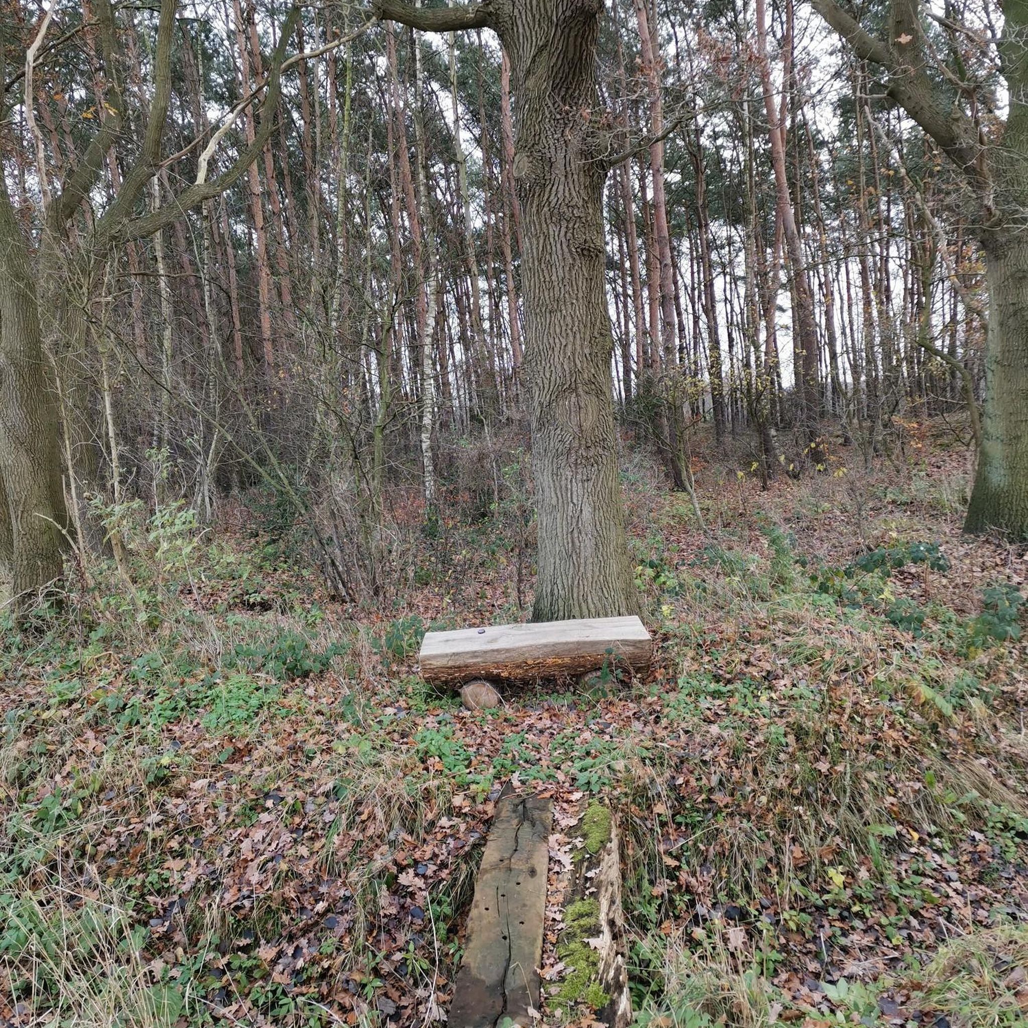
Camping Les Ormes is located on the river
13
0
Beautiful path along the river
14
0

Caution! Between the Futuroscope station and the first few meters of safety, you must drive along a four-lane road (Avenue de Bordeaux). Not for children!
0
0

I don't know?
1
1
Frequently Asked Questions
How many gravel bike trails are available around Senillé-Saint-Sauveur?
There are over 20 gravel bike trails in the Senillé-Saint-Sauveur area, offering a diverse range of experiences. These include 1 easy route, 15 moderate routes, and 8 difficult routes, catering to various skill levels.
What kind of terrain can I expect on gravel bike routes in Senillé-Saint-Sauveur?
The region around Senillé-Saint-Sauveur is characterized by varied terrain, with altitudes ranging from 57 to 146 meters. You can expect a mix of wooded sections, open landscapes, and hilly areas, providing both scenic views and challenging climbs. Routes often feature shaded trails and natural sites.
Are there any family-friendly gravel biking options in the area?
While many routes offer varied terrain, the area does have options suitable for different abilities. For a less strenuous ride, consider exploring some of the easier sections or local paths. The Château de la Motte d'Usseau – Châtellerault loop from Châtellerault is a moderate option that might be suitable for families with some biking experience, offering a distance of 49.3 km.
What are the best times of year for gravel biking in Senillé-Saint-Sauveur?
The Nouvelle-Aquitaine region generally offers pleasant conditions for gravel biking during spring and autumn, when temperatures are milder. Summer can also be enjoyable, especially on routes with shaded sections like the 'Woods of Saint-Sauveur'. It's always a good idea to check the local weather forecast before heading out.
Are there any circular gravel bike routes available?
Yes, many of the gravel bike routes around Senillé-Saint-Sauveur are designed as loops. For example, the popular Les Ormes – Châtellerault loop from Châtellerault is a challenging 107.6 km circular route. Another local favorite is the Châtellerault – Lake Saint-Cyr loop from Châtellerault, a moderate 77.2 km loop.
What points of interest can I see along the gravel bike trails?
The region offers a blend of natural beauty and historical sites. While riding, you might encounter charming landscapes and natural features. For specific landmarks, consider visiting nearby attractions such as the medieval fortifications of La Roche-Posay or the significant Gallo-Roman Theatre of Old Poitiers. The 'Woods of Saint-Sauveur' route is known for its beautiful viewpoints and a remarkable oak tree.
What do other gravel bikers enjoy most about the trails in Senillé-Saint-Sauveur?
The gravel bike routes in Senillé-Saint-Sauveur are highly rated by the komoot community, with an average score of 4.9 stars from over 20 reviews. Riders often praise the diverse landscapes, the mix of wooded and open areas, and the challenging yet rewarding climbs that offer panoramic views. The variety of routes, from moderate to difficult, is also a key highlight.
Are there options for longer, more challenging gravel rides?
Absolutely. For experienced gravel bikers seeking a challenge, routes like the Châtellerault – Angles-sur-l'Anglin loop from Châtellerault offer a difficult 98.1 km path with significant elevation changes and panoramic trails. The Les Ormes – Châtellerault loop from Châtellerault is another demanding option, spanning 107.6 km.
Where can I find parking for gravel biking in Senillé-Saint-Sauveur?
While specific parking spots for each trailhead are not detailed, many routes start from larger towns like Châtellerault, where public parking is generally available. For local exploration within Senillé-Saint-Sauveur, the recently renovated Place Vaudreching offers a local leisure space that might have parking options suitable for accessing nearby trails.
Can I access the gravel trails using public transport?
Senillé-Saint-Sauveur is a rural municipality. While direct public transport to specific trailheads might be limited, larger nearby towns like Châtellerault are better connected by regional transport. From there, you might need to cycle to the starting points of the routes. It's advisable to check local bus or train schedules for connections to Châtellerault.
Are there any specific natural sites or viewpoints to look out for?
Yes, the region is known for its natural beauty. The 'Woods of Saint-Sauveur' are particularly noted for their shaded and hilly landscapes, offering very beautiful viewpoints and natural sites, including a remarkable oak tree. Many routes traverse varied terrain that provides scenic vistas of the surrounding countryside.
Are there any moderate-difficulty routes that are a good balance of distance and challenge?
Certainly. The area features 15 moderate routes that offer a good balance. The Châtellerault – Château de Dissay loop from Châtellerault is a moderate 59.2 km route that provides a rewarding ride without being overly strenuous. Another excellent choice is the Châtellerault – Lake Saint-Cyr loop from Châtellerault, which is 77.2 km and leads through diverse natural scenery.
Most popular routes around Senillé-Saint-Sauveur
Most popular attractions around Senillé-Saint-Sauveur

Get inspired with the komoot mobile app


Explore more
Browse the best Gravel rides in other regions.
