The best gravel rides around Aspach-Michelbach
4.6
(36)
455
riders
55
rides
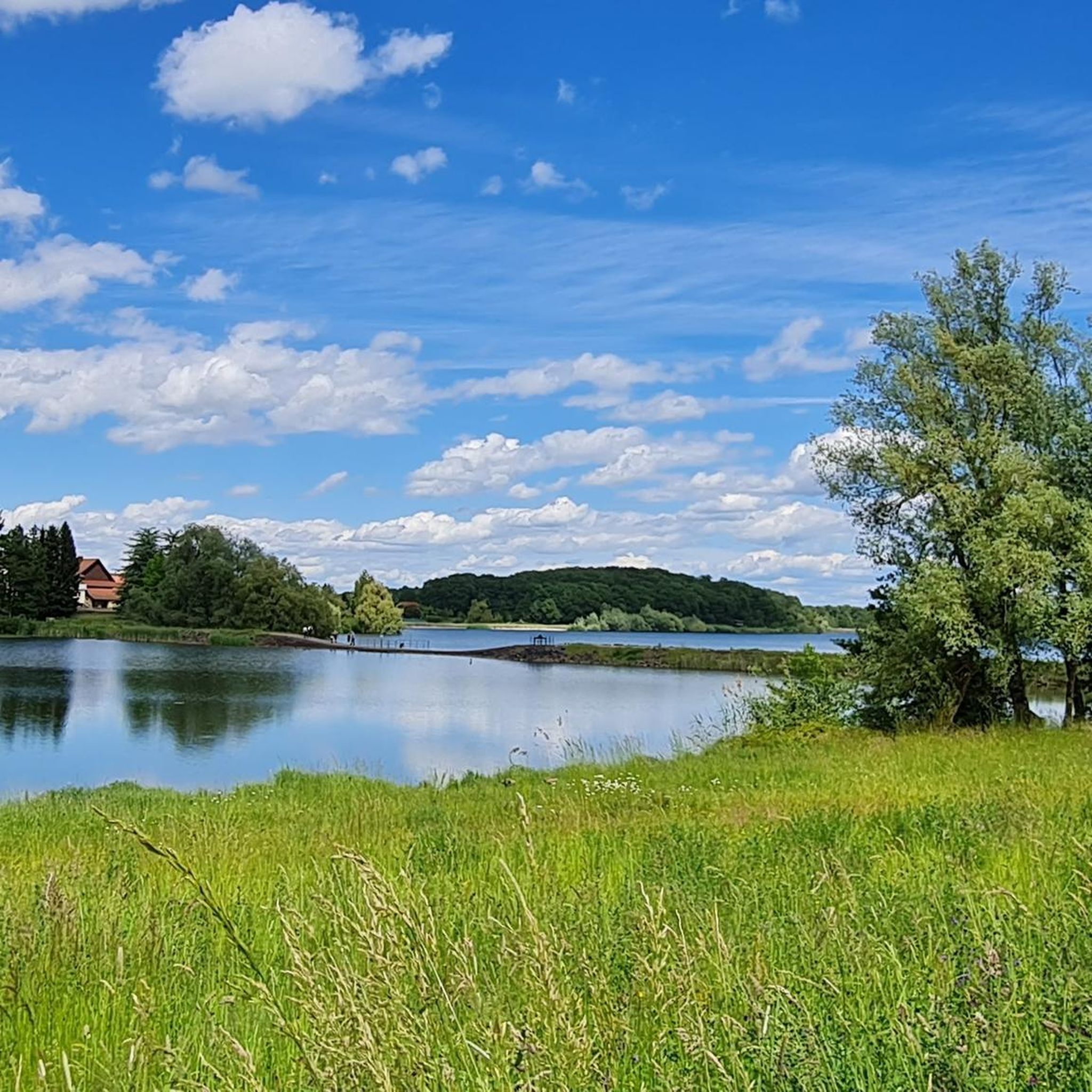
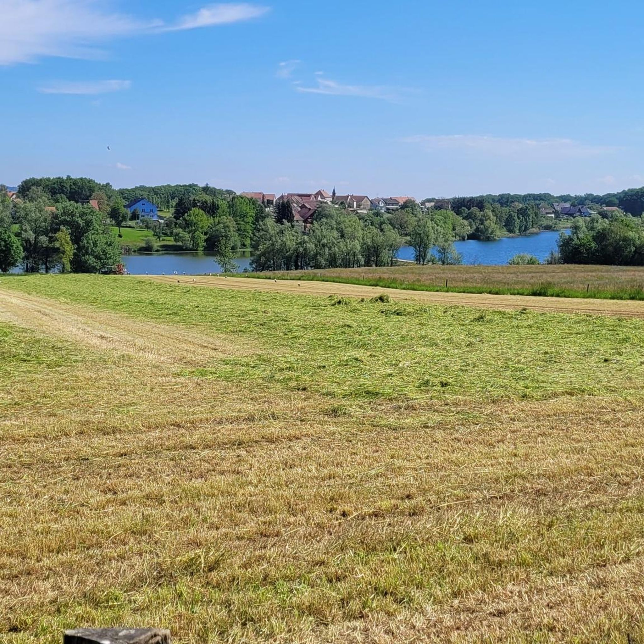
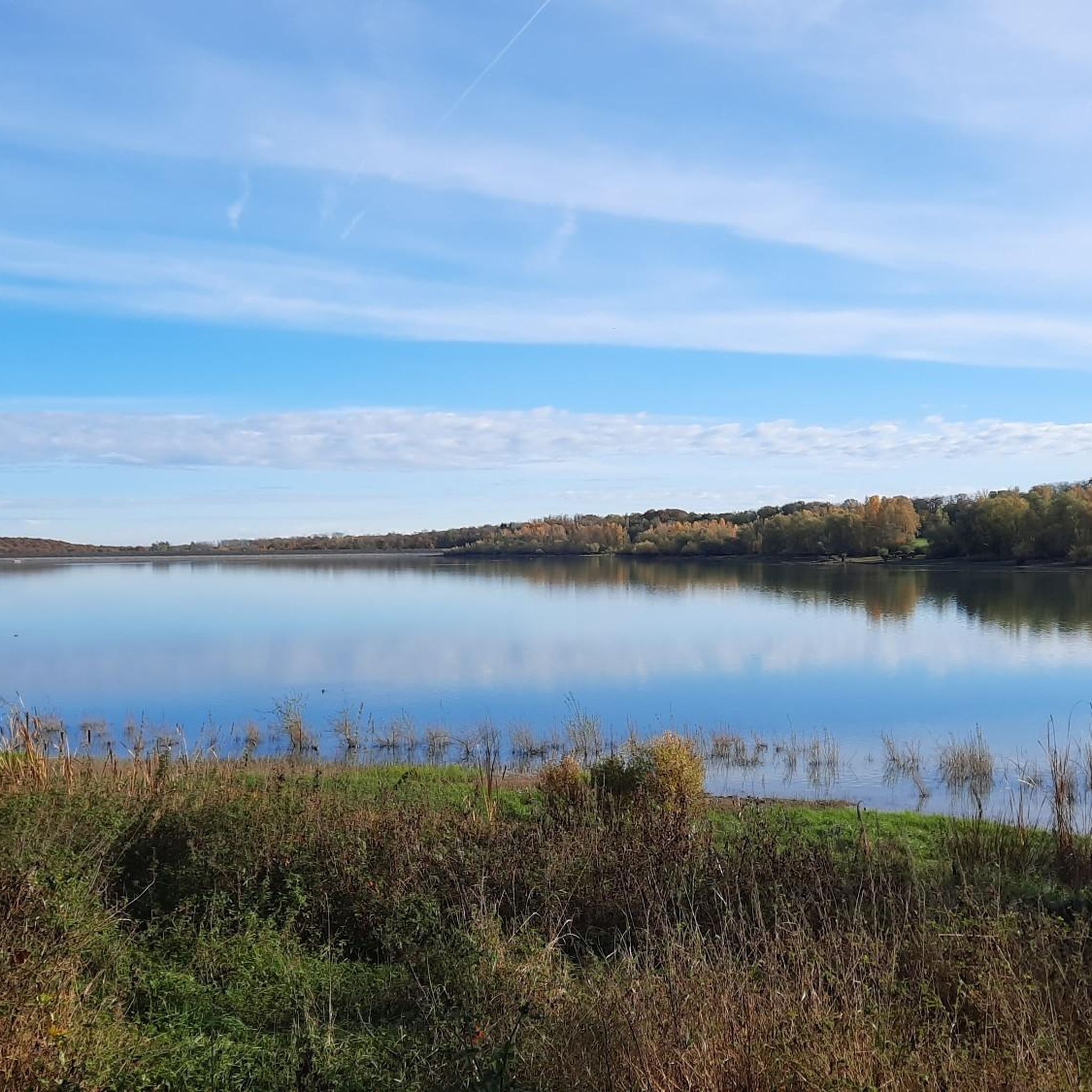
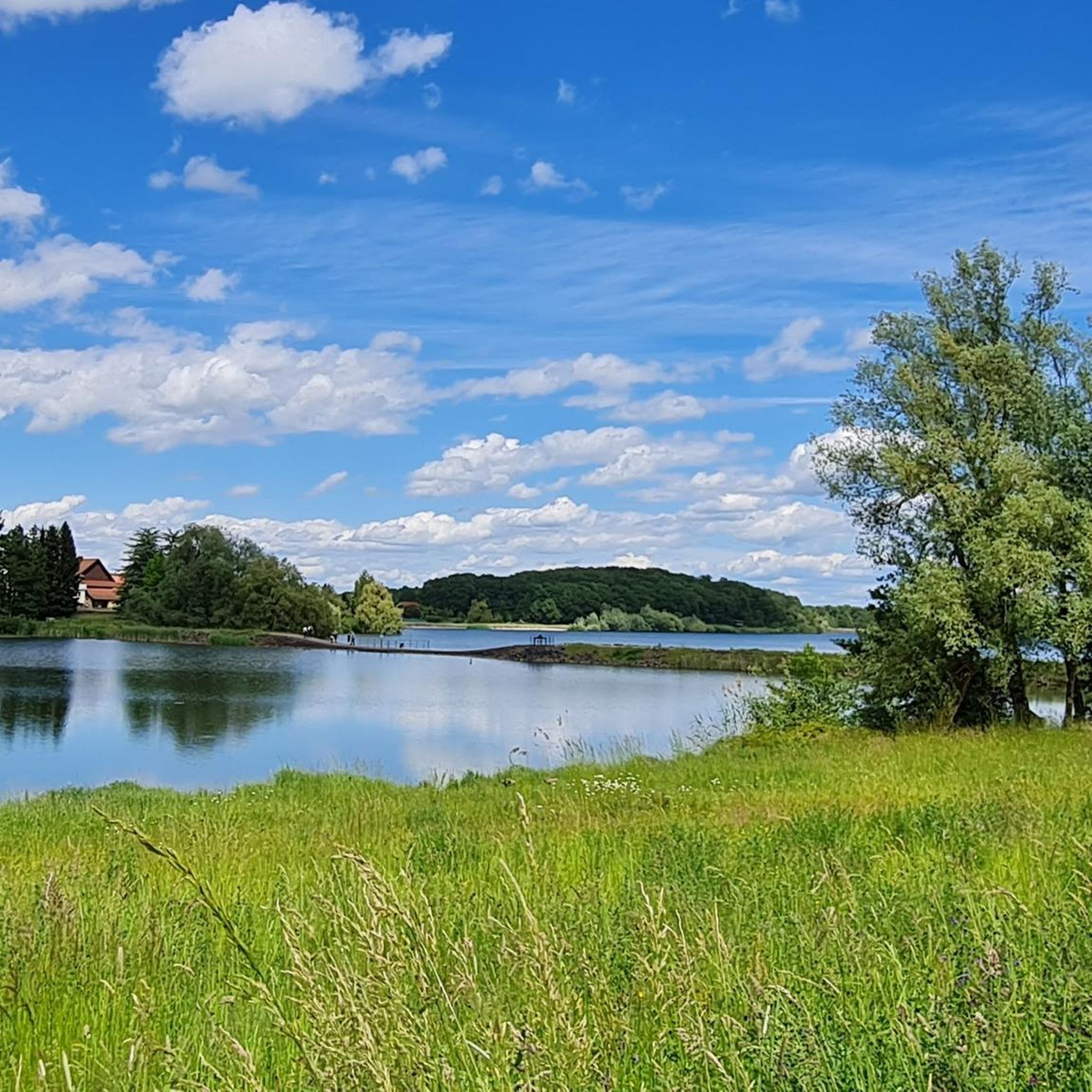
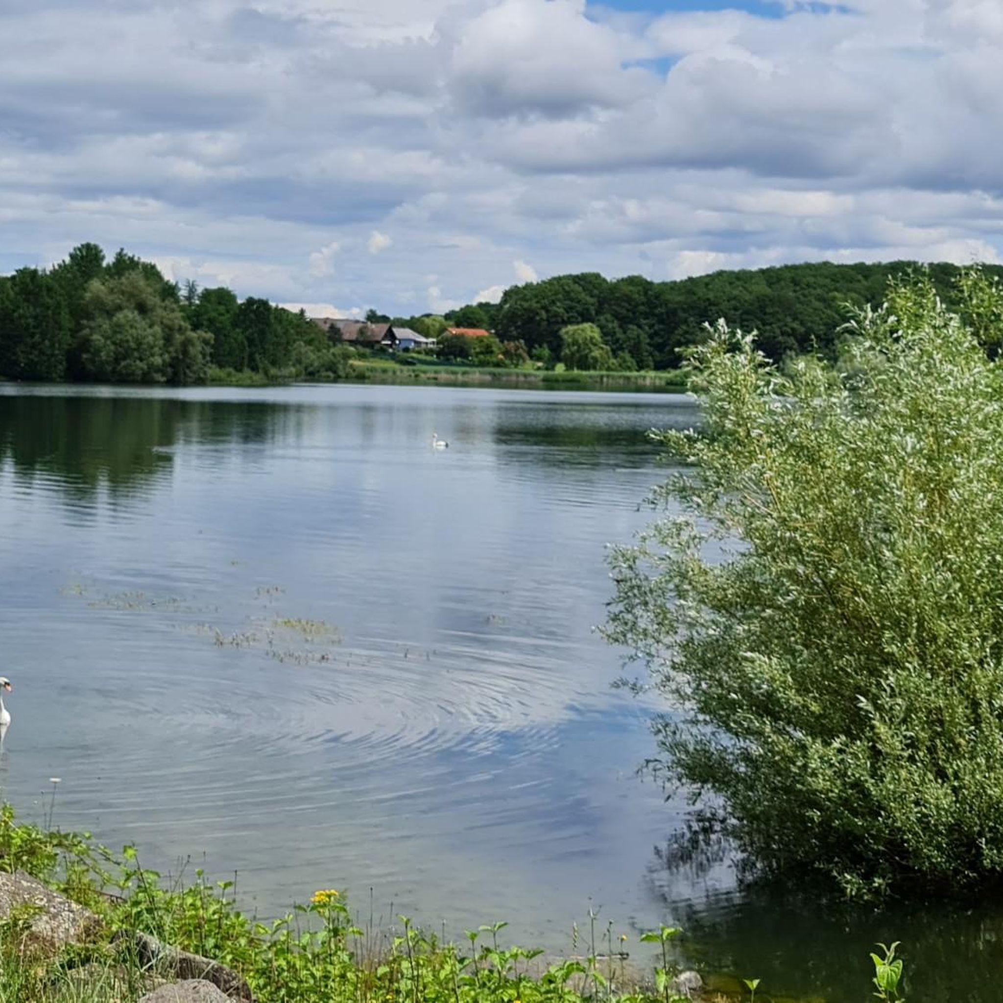
Gravel biking around Aspach-Michelbach offers diverse terrain at the foothills of the Vosges mountains in northeastern France. The region features a mix of forest paths, unpaved roads, and routes around natural features like the Michelbach Lake. Riders can explore varied landscapes, from the tranquil Alsatian countryside with its fields and forests to more challenging ascents into the Vosges foothills. This area provides a suitable environment for gravel biking, combining natural surfaces with scenic views.
Best gravel bike trails around Aspach-Michelbach
…Last updated: November 3, 2026
3.7
(3)
38
riders
41.0km
02:51
790m
790m
Hard gravel ride. Very good fitness required. Mostly paved surfaces.
4.5
(2)
19
riders
25.4km
01:59
720m
720m
Hard gravel ride. Very good fitness required. You may need to push your bike for some segments of this route.

4.0
(1)
6
riders
27.0km
01:53
330m
330m
Moderate gravel ride. Good fitness required. Mostly paved surfaces.
4.5
(2)
7
riders
34.7km
01:56
100m
100m
Hard gravel ride. You may need to push your bike for some segments of this route.
14
riders
97.2km
07:23
2,560m
2,560m
Hard gravel ride. Very good fitness required. Mostly paved surfaces.
Get access to more routes and recommendations from other explorers.
Already have an account?
Our route recommendations are based on thousands of hikes, rides, and runs completed by other people on komoot.
Start today with a free account
Your next adventure awaits.
Tips from the Community

When you drive from the Route des Crêtes towards Le Grand Ballon, you pass the Col du Haag (1233 m) almost unnoticed. Yet, this pass marks a special point on the southern flank of the highest mountain in the Vosges. Here, steep roads from the Thurdal leave the wooded slopes and reach the open heights of the massif. From the col, a typical Vosges landscape unfolds with mountain meadows, scattered farms, and sweeping views. The proximity of the Grand Ballon is felt everywhere: the imposing summit towers above the pass and forms the natural goal of the final climbing kilometers. For cyclists, the Col du Haag is mainly known as the point where difficult climbs from the valleys converge before the road continues to rise to the highest point of the Vosges.
6
0
Le Markstein (1184 m) is meer dan alleen een kruispunt op de Route des Crêtes. Het is echter een echte bergpas en het hoogste punt van de oversteek tussen het Lauch- en Thurdal. Het ligt in het hart van het Vogezenmassief, midden een populair wintersportgebied dat nauw verbonden is met de Grand Ballon
6
0
Le Markstein is a well-known winter sports and outdoor resort in the High Vosges, located at an altitude between 1020 and 1268 meters. The resort is situated directly on the iconic Route des Crêtes and forms an important crossroads and recreational area within the municipalities of Oderen and Lauw (near Wildenstein). At Le Markstein, you will find several traditional Fermes-Auberges and hotels where you can taste the local repas marcaire (a traditional hearty meal from the Vosges). Additionally, the location has gained significant fame in cycling; it is regularly the setting for tough mountain stages in the Tour de France (and the Tour de France Femmes), often as the final challenge after the climbs of Petit Ballon and Platzerwasel.
6
0
The Route des Crêtes (from the D430 near Rothenbach) is one of the most beautiful ridge roads in Europe. The road was originally built in 1914 by the French army to supply the troops at the front during World War I. Today, it is an iconic panoramic route that connects the main peaks of the Vosges.
1
0
The Route des Crêtes (the D430 near Rothenbach) is one of the most beautiful ridge routes in Europe. The road was originally built in 1914 by the French army to supply troops at the front in World War I. Today, it is an iconic panoramic route that connects the main peaks of the Vosges.
6
0
There are no restaurants or cafes at the summit of the Col de Bramont itself. However, the pass serves as a strategic junction. From the summit, you can directly connect to the famous Route des Crêtes (the D431), which links the main mountain peaks of the Vosges. This allows you to easily cycle or hike to larger attractions nearby, such as the Col de la Schlucht, the Hohneck, or the Grand Ballon. The climb is enjoyable due to its 12 hairpin bends on the southern flank (Kruth).
7
0
The climb starts relatively calmly; the first 4.5 kilometers hardly show any significant incline, while the road runs slightly undulating along the Lac de Kruth-Wildenstein reservoir. Only after that does the real climbing work begin over a distance of about 3.5 to 4 kilometers. From that moment on, the road winds its way up via 12 characteristic hairpin bends. The gradient during this section is very constant and fluctuates almost continuously around 5 to 6%, making the climb ideal for finding a steady rhythm. The road is well-asphalted and leads entirely through a dense pine forest. This allows you to cycle delightfully in the shade, although due to the dense vegetation at the top and during the climb, there are few sweeping views of the valley. Once at the top (955m), you can descend directly to the north side towards La Bresse or join the well-known Route des Crêtes to extend the ride to, for example, the Col de la Schlucht or the Grand Ballon.
6
0

This old chapel was erected after the French Revolution on the old path to Thann and fell into disrepair over time. In 1932, the community decided to rebuild it. The current small building has a simple nave, an open porch, and a small bell tower with a bell. In front of the chapel stands a statue of the Virgin Mary, which underscores the character of the place as a pilgrimage and devotional site. The chapel is dedicated to the "Mother of God of Perpetual Help" and belongs to the typical small religious monuments of southern Alsace.
1
0
Frequently Asked Questions
How many gravel bike trails are available around Aspach-Michelbach?
Based on komoot data, there are over 50 gravel bike trails around Aspach-Michelbach, catering to various skill levels. You'll find 5 easy, 13 moderate, and 34 difficult routes to explore.
Are there gravel bike trails suitable for beginners in Aspach-Michelbach?
Yes, Aspach-Michelbach offers a selection of easier routes. While many trails venture into the challenging Vosges foothills, you can find gentler paths, especially around the Michelbach Lake. These routes often feature forest paths and unpaved roads suitable for those new to gravel biking.
What kind of terrain can I expect on gravel bike trails in Aspach-Michelbach?
Gravel biking in Aspach-Michelbach offers a diverse mix of terrain. You'll encounter forest paths, unpaved roads, and lakeside routes, particularly around the Michelbach Lake. Trails also ascend into the foothills of the Vosges mountains, providing varied surfaces and elevation changes.
Are there any circular gravel bike routes in the Aspach-Michelbach area?
Yes, many of the gravel bike routes around Aspach-Michelbach are designed as loops. For example, the Michelbach Dam – Michelbach Lake loop from Aspach-le-Bas offers a moderate 27.5 km ride around the scenic lake.
What natural features or landmarks can I see along the gravel bike trails?
The region is rich in natural beauty. You can ride past the scenic Michelbach Lake and its dam, explore the Michelbach Nature Reserve, and enjoy views of the Vosges mountains. Some routes also offer glimpses of historical sites like the Engelbourg Castle or the Ruins of Freundstein Castle.
Are there any family-friendly gravel bike routes in Aspach-Michelbach?
While specific family-friendly routes are not explicitly detailed, the paths around the Michelbach Lake and through the Alsatian countryside, which pass between fields and forests, are generally less challenging and could be suitable for families. These areas offer a tranquil setting away from steep climbs.
Can I bring my dog on the gravel bike trails in Aspach-Michelbach?
Many outdoor trails in France, especially in natural reserves and forests, generally permit dogs on a leash. The Michelbach Nature Reserve, with its walking trails around the lake, is a popular spot for nature walks. It's always advisable to check local signage for specific restrictions, especially in protected areas, but generally, dogs are welcome on most unpaved paths.
What is the best time of year for gravel biking in Aspach-Michelbach?
The region is enjoyable for gravel biking from spring through autumn. Spring brings blooming landscapes, while autumn offers vibrant foliage. Summer is also pleasant, especially on shaded forest paths. Winter can be challenging due to potential snow and ice, particularly in the higher Vosges foothills.
Are there cafes or places to stop for refreshments along the gravel bike routes?
Aspach-Michelbach and nearby towns offer various amenities. While specific cafes directly on remote gravel paths might be limited, you'll find options in the villages and towns you pass through or start from. Planning your route to include stops in places like Cernay or Steinbach will ensure access to refreshments.
What do other gravel bikers enjoy most about gravel biking in Aspach-Michelbach?
The area is highly rated by the komoot community, with an average score of 4.6 stars from over 20 reviews. Riders often praise the diverse landscapes, from tranquil lakeside paths to challenging ascents in the Vosges foothills, and the mix of natural surfaces that make for engaging gravel rides.
Where can I find parking for gravel bike trails in Aspach-Michelbach?
Parking is generally available in the towns and villages that serve as starting points for many routes, such as Aspach-Michelbach itself, Cernay, or Steinbach. Look for public parking areas, especially near popular trailheads or points of interest like the Michelbach Lake.
Are there any routes that offer significant elevation gain for a challenging ride?
Absolutely. The region is at the foothills of the Vosges mountains, offering routes with substantial climbs. For a significant challenge, consider the Grand Ballon – Hohneck loop from Cernay, which covers 93.4 km with over 2,100 meters of elevation gain, leading through higher elevations of the Vosges.
Most popular routes around Aspach-Michelbach
Most popular attractions around Aspach-Michelbach

Get inspired with the komoot mobile app


Explore more
Browse the best Gravel rides in other regions.
