The best gravel rides around Osselle-Routelle
4.3
(8)
40
riders
38
rides
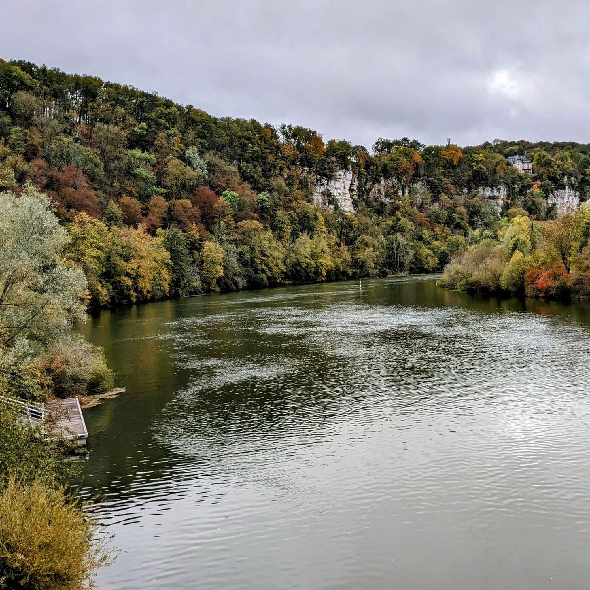
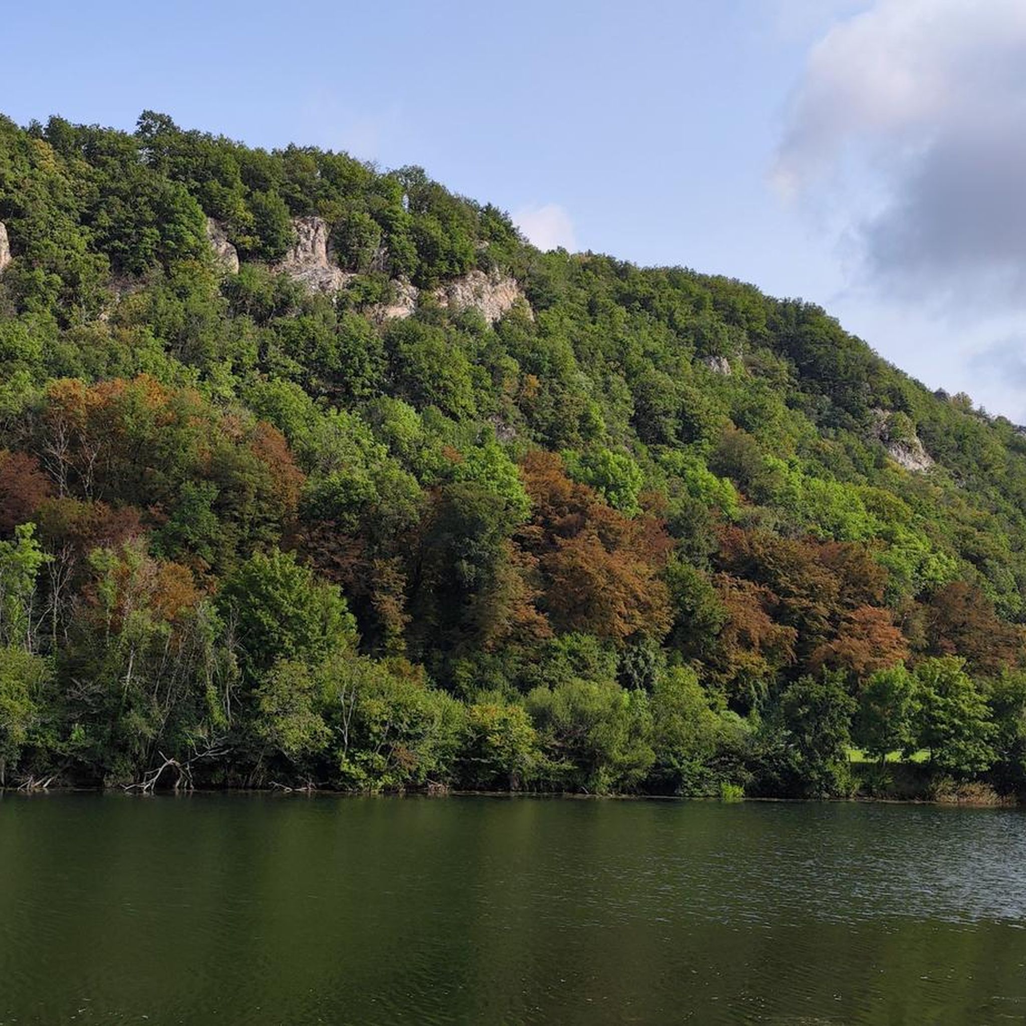
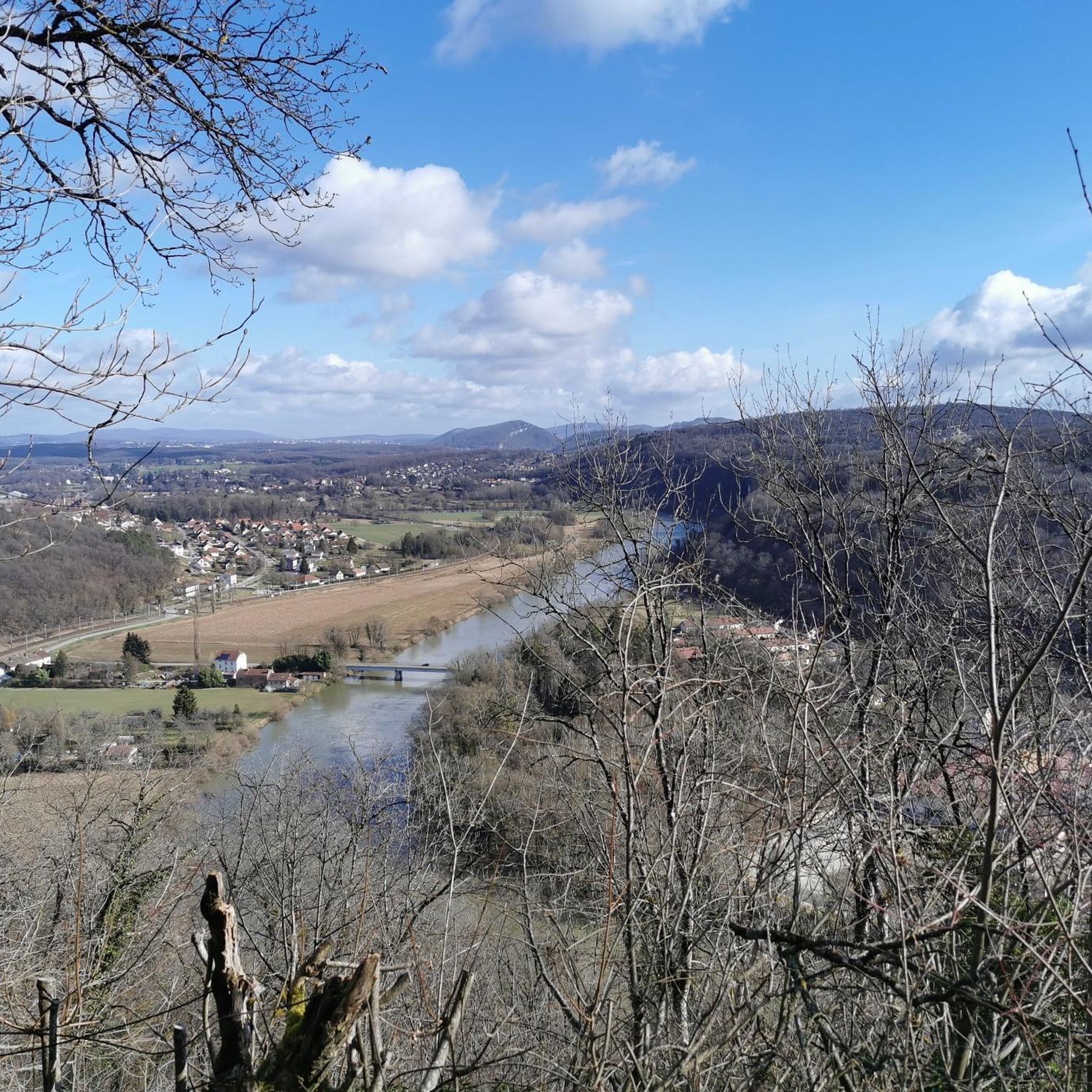
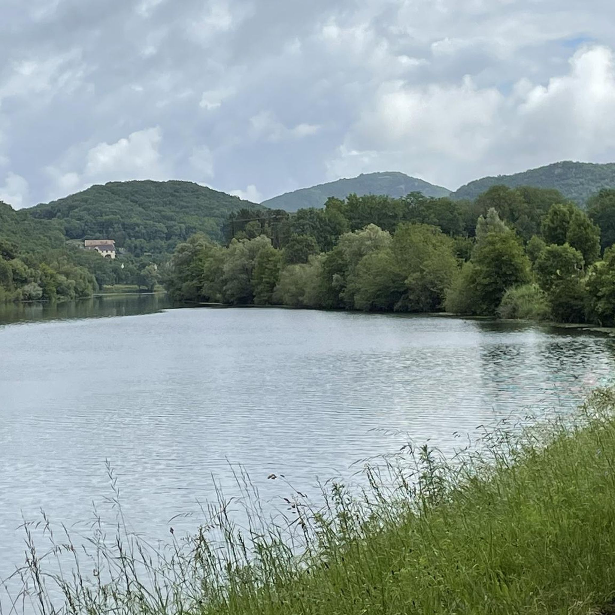
Gravel biking around Osselle-Routelle offers diverse terrain, characterized by a blend of forested paths, secondary roads, and waterways. The region features hilly forests and the meandering Doubs river, providing varied environments for exploration. Its landscape includes both paved and unpaved surfaces, making it suitable for gravel bikes. The area is also crossed by the EuroVelo 6 cycleway, indicating established cycling infrastructure.
Best gravel bike trails around Osselle-Routelle
- The most popular gravel bike trail is Saint-Vit done well done, a…
Last updated: July 3, 2026
4.5
(2)
10
riders
49.0km
04:13
510m
510m
Hard gravel ride. Very good fitness required. Mostly paved surfaces. Suitable for all skill levels.
4.0
(1)
8
riders
33.4km
02:20
400m
400m
Moderate gravel ride. Good fitness required. Mostly paved surfaces. Suitable for all skill levels.

Sign up for free
4.0
(1)
6
riders
26.3km
01:53
350m
350m
Moderate gravel ride. Good fitness required. Mostly paved surfaces. Suitable for all skill levels.
5.0
(3)
7
riders
33.0km
02:19
340m
340m
Moderate gravel ride. Good fitness required. Mostly paved surfaces. Suitable for all skill levels.
4.0
(1)
8
riders
38.6km
02:28
360m
360m
Moderate gravel ride. Good fitness required. Mostly paved surfaces. Suitable for all skill levels.
Get access to more routes and recommendations from other explorers.
Sign up for free
Already have an account?
Our route recommendations are based on thousands of hikes, rides, and runs completed by other people on komoot.
Start today with a free account
Your next adventure awaits.
Login or Signup
Tips from the Community

A few benches with tables under a tree for shade, ideal for a short break
0
0

It's a pity that there is no bicycle tunnel here.
0
0


Lock in the connecting canal to the ship tunnel, approx. 3-4 m high.
2
0
A ship tunnel (1810) that can be walked through from the side as a shortcut for the Le Doubs river canal. On the other side of the canal there is a lock about 3-4 m high. There is a water curtain at both portals and the interior is beautifully and decoratively lit. Worth seeing.
2
0

It is also possible to walk through the tunnel.
5
0

There is some very interesting permanent documentation here
5
0
Frequently Asked Questions
How many gravel bike trails are available in Osselle-Routelle?
There are over 45 gravel bike routes around Osselle-Routelle, offering a wide range of options for different skill levels and preferences. You'll find a mix of moderate and difficult trails to explore.
What kind of terrain can I expect on gravel bike trails around Osselle-Routelle?
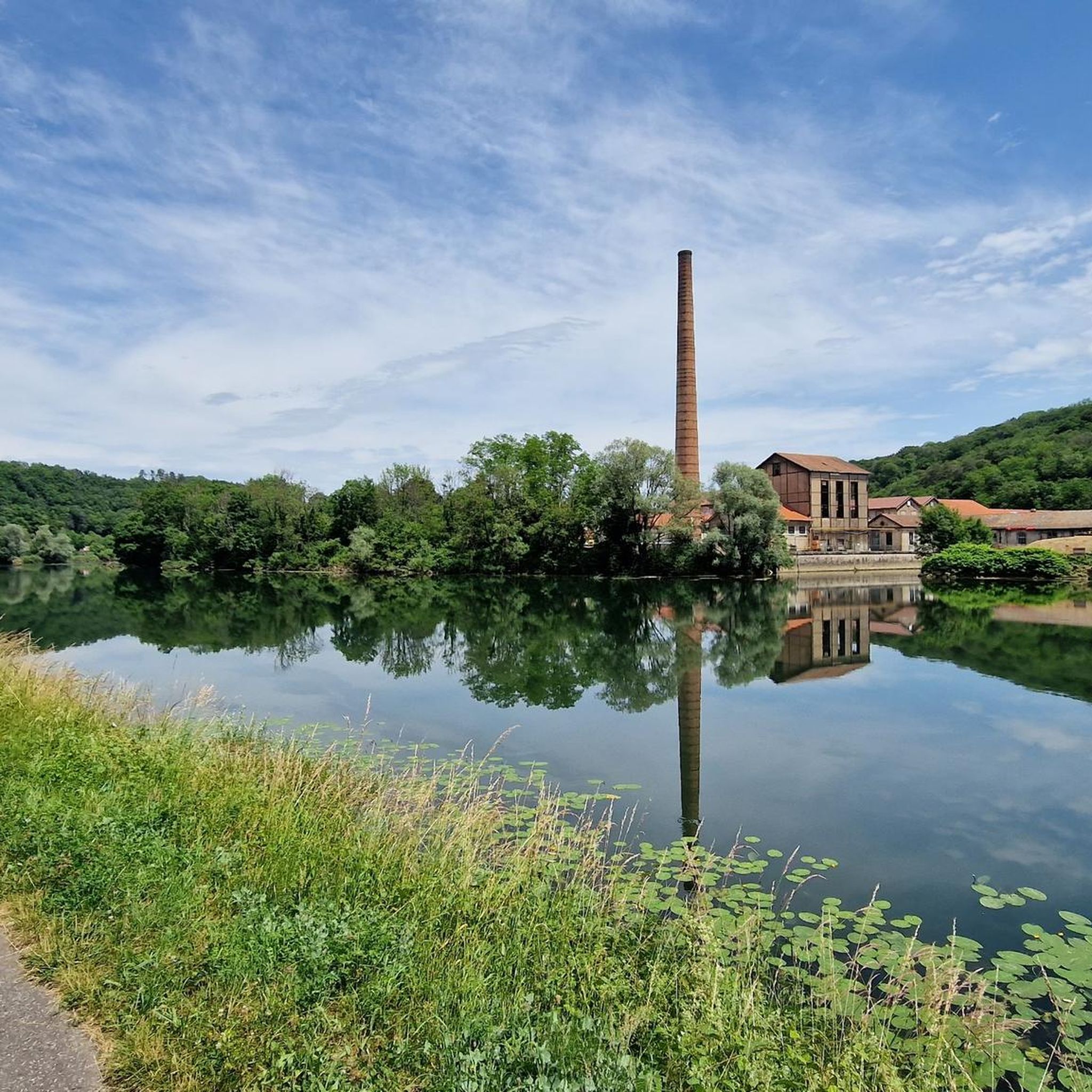
The terrain around Osselle-Routelle is quite varied, featuring a blend of forested paths, secondary roads, and scenic routes along waterways like the Doubs River and the Rhône-Rhin Canal. You'll encounter hilly forests and both paved and unpaved surfaces, making it ideal for gravel biking.
What is the difficulty level of gravel biking routes in Osselle-Routelle?
The routes in Osselle-Routelle cater to various skill levels. You'll find approximately 25 moderate routes and 20 more difficult trails, ensuring there's something for everyone from intermediate riders to those seeking a challenge.
Are there any longer gravel routes for experienced riders?
Yes, for experienced riders looking for a longer challenge, consider the Saint-Vit done well done route. This difficult trail spans 30.5 miles (49.0 km) and involves significant elevation gain, typically taking over 4 hours to complete.
What natural features or landmarks can I see along the gravel bike trails?
Many routes offer views of the Doubs River and the Rhône-Rhin Canal. You might also pass by the intriguing Thoraise Tunnel with its unique 'water curtain' or explore the rich flora of the Bois d'Ambre. The famous Osselle Caves are also nearby, offering a fascinating geological experience.
Are there any scenic viewpoints on the gravel routes?
Yes, some routes offer expansive vistas. For example, the area features a Statue of the Virgin viewpoint that provides wide views of the Doubs river bend and the surrounding countryside. The Fort de Planoise also offers a great vantage point.
Are there any circular gravel bike routes available?
Absolutely. Many routes are designed as loops, allowing you to start and finish in the same location. An example is the Thoraise Canal Tunnel – Thoraise Lock loop from Torpes - Boussières, which is a moderate 16.0 miles (25.8 km) path exploring local waterways.
What is the best time of year for gravel biking in Osselle-Routelle?
The region is enjoyable for gravel biking through much of the year. Spring and autumn offer pleasant temperatures and beautiful scenery with changing foliage. Summer is also popular, especially with the nearby Osselle-Routelle Beach providing a refreshing spot for swimming after a ride.
Are there family-friendly gravel biking options?
While many routes are moderate to difficult, the presence of the EuroVelo 6 cycleway, which crosses the region, suggests well-maintained paths that can be suitable for families, especially sections along the canal banks. Look for routes with lower elevation gains and shorter distances for a more relaxed family outing.
Where can I find refreshments or places to stay near the trails?
The region has various amenities. For example, the Ranchot Island Campsite is a facility located near some of the cycling routes. You'll also find cafes and small eateries in the towns and villages along the Doubs River and canal.
What do other gravel bikers enjoy most about gravel biking in Osselle-Routelle?
The area is highly rated by the komoot community, with an average score of 4.2 stars. Reviewers often praise the diverse terrain, the scenic beauty of the Doubs river, and the varied landscapes that combine forested paths with quiet secondary roads.
Is parking available near the gravel bike trails?
Yes, parking is generally available in the towns and villages that serve as starting points for many of the routes, such as Saint-Vit, Torpes, Boussières, and Grandfontaine. Specific parking information can often be found on individual route descriptions.
Can I reach the trails using public transport?
While specific public transport options directly to trailheads might vary, the region is part of the Bourgogne-Franche-Comté area, which has a regional transport network. Checking local bus or train schedules to larger towns like Besançon, which is near some routes, would be advisable for connecting to the trail areas.
Most popular routes around Osselle-Routelle
Most popular attractions around Osselle-Routelle

Get inspired with the komoot mobile app


Explore more
Browse the best Gravel rides in other regions.
