The best gravel rides around Les Avenières-Veyrins-Thuellin
4.6
(19)
102
riders
11
rides
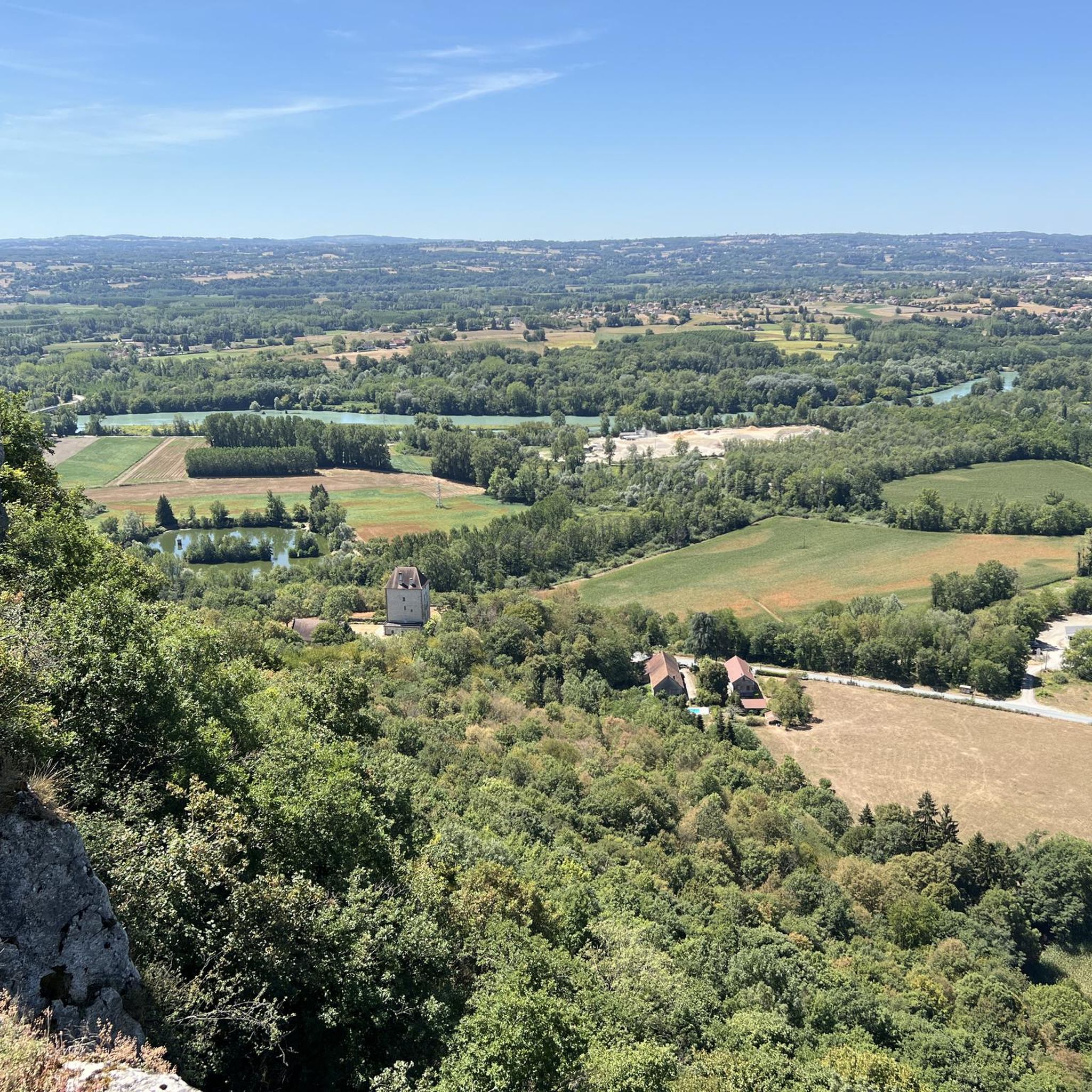
Gravel biking around Les Avenières-Veyrins-Thuellin is situated in the Isère department of southeastern France, along the Rhône River. The terrain features a mix of riverine landscapes, including the Rhône's "lônes" (old meanders), and diverse natural environments within the French Haut-Rhône National Nature Reserve. The region, part of the Balcons du Dauphiné, offers varied landscapes from riverbanks to agricultural roads and low-traffic rural paths, traversing forests and plateaus.
Best gravel bike trails around Les Avenières-Veyrins-Thuellin
- The most popular gravel bike trail…
Last updated: November 2, 2026
5.0
(7)
39
riders
Moderate gravel ride. Good fitness required. Mostly paved surfaces.
4.3
(6)
16
riders
44.3km
02:33
150m
150m
Moderate gravel ride. Good fitness required. Mostly paved surfaces.

4.0
(2)
8
riders
33.0km
02:04
200m
190m
Moderate gravel ride. Good fitness required. Mostly paved surfaces.
5.0
(1)
5
riders
17.7km
01:08
70m
70m
Easy gravel ride. Mostly paved surfaces.
5.0
(1)
6
riders
Easy gravel ride. Mostly paved surfaces.
Get access to more routes and recommendations from other explorers.
Already have an account?
Our route recommendations are based on thousands of hikes, rides, and runs completed by other people on komoot.
Start today with a free account
Your next adventure awaits.

Tips from the Community

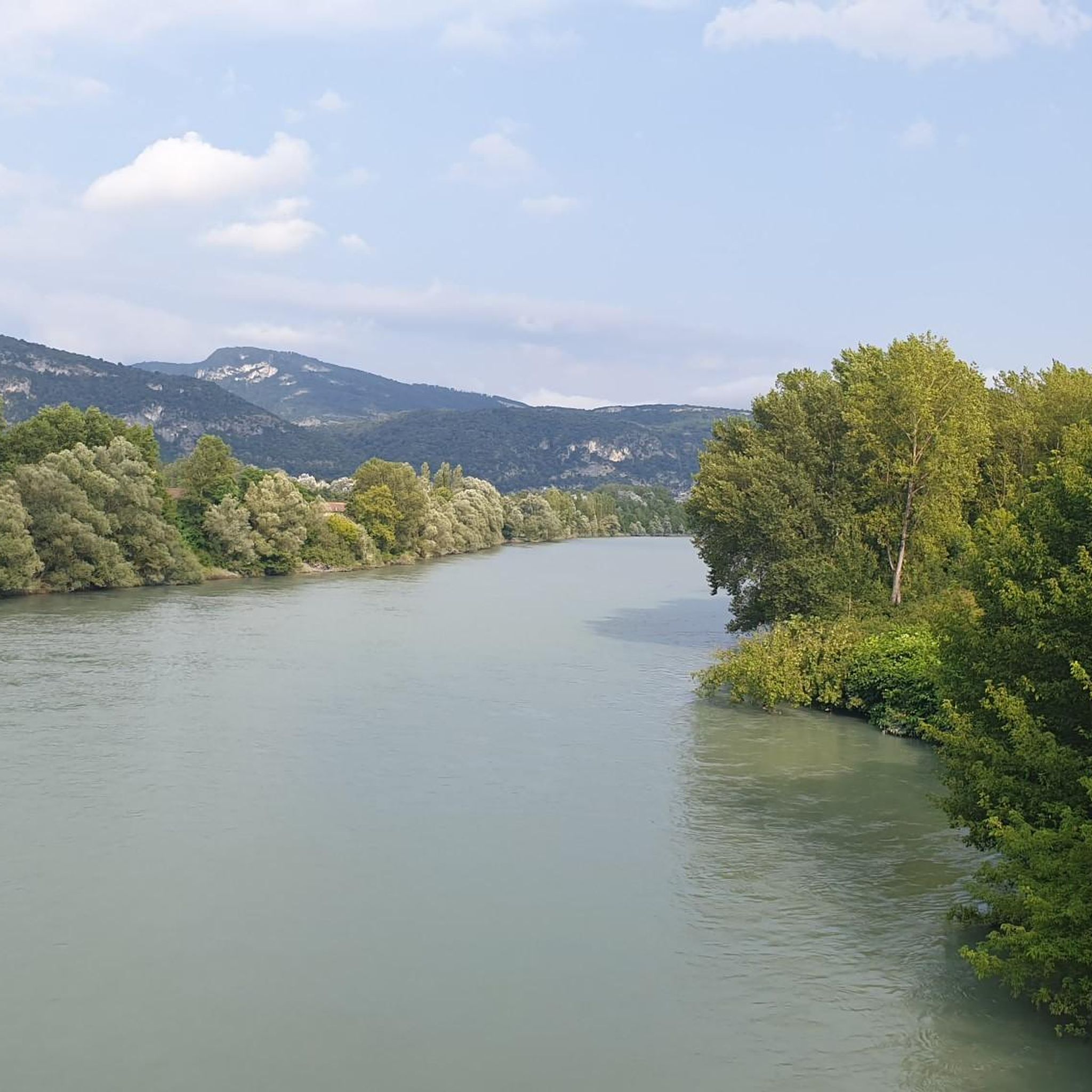
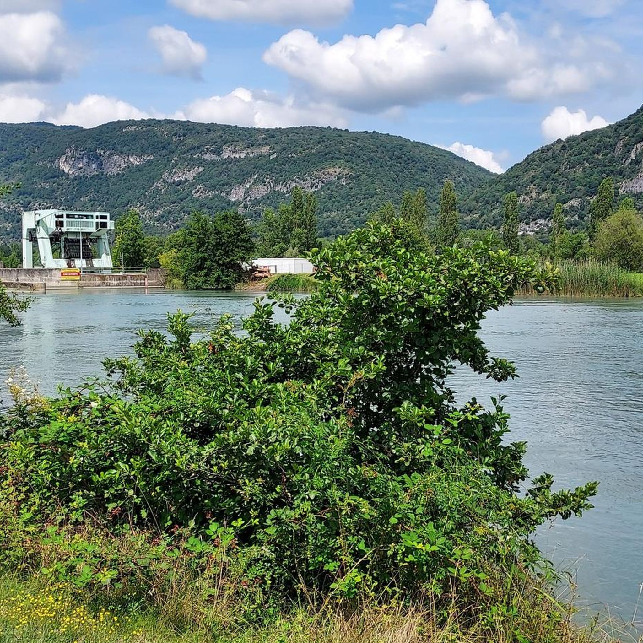
The trail runs along the Guiers river to its confluence with the Rhône, on the edge of Savoie.
0
0
The trail runs along the Guiers river to its confluence with the Rhône, on the edge of Savoie.
0
0
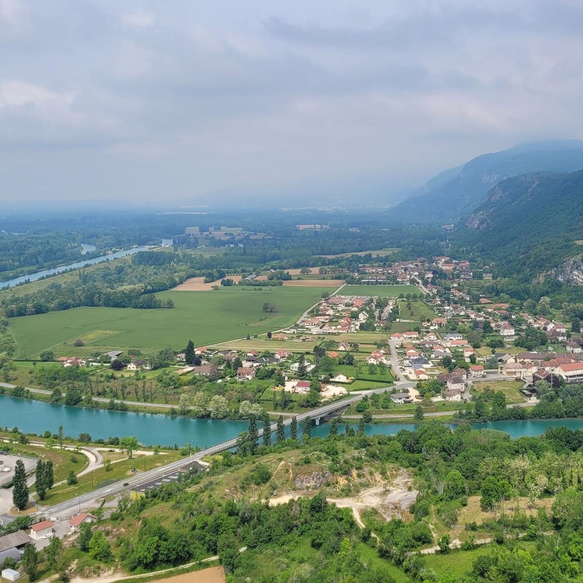
For a long time, this bridge marked the political border between the Kingdom of France (Dauphiné side) and the States of Savoy. In 1822, a border stone (stone no. 5) had been set in its center to demarcate the two territories. This historic stone has since been moved to the Place des Tilleuls in the village, where it serves as a fountain.
0
0
The site is freely accessible on foot and offers four major marked routes to gently explore its riches.
0
0
The area is located on the border between the departments of Isère and Ain, right next to the Pont d’Évieu. A specific ViaRhôna link allows you to reach the center of the commune of Les Avenières directly from this point via small country roads.
0
0

The Via Rhona in the direction of Belley. Magnificent cycle path
1
0

here I replenished my drink supply again
0
0
a very nice section for us cyclists
0
0
Frequently Asked Questions
How many gravel bike trails are available in Les Avenières-Veyrins-Thuellin?
There are over 15 gravel bike trails in Les Avenières-Veyrins-Thuellin, offering a diverse range of experiences. The komoot community has explored more than 200 routes in the area.
What kind of terrain can I expect on gravel bike trails in Les Avenières-Veyrins-Thuellin?
The terrain is varied, featuring riverine landscapes along the Rhône, including its 'lônes' (old meanders), extensive greenways, and low-traffic agricultural roads. You'll find a mix of flat sections and some challenging climbs as the region borders the Alps and Dauphiné territories.
What is the best time of year for gravel biking in this region?
The region is generally pleasant for gravel biking from spring through autumn. While specific seasonal details aren't provided, the diverse landscapes and river proximity suggest enjoyable rides during milder weather. Always check local weather conditions before heading out.
Are there gravel routes suitable for beginners or families?
Yes, the network offers options for different ability levels. While some routes are moderate to difficult, you can find easier sections, especially along the greenways and the ViaRhôna. For example, the Crémieu–Morestel Greenway – Troglodyte in Cremieu. loop from Morestel is a moderate route that leads through greenways and rural landscapes.
Are there challenging gravel routes for experienced riders?
Absolutely. For experienced riders seeking a challenge, routes like the Savière Canal – Savière Canal loop from Groslée-Saint-Benoit offer a difficult 96.9 km ride exploring the canal system and river environment. Another difficult option is the Groslée Bridge – Virignin footbridge loop from Groslée-Saint-Benoit, which includes significant elevation changes.
Can I find routes with scenic viewpoints or natural attractions?
Yes, the area is rich in natural beauty. You can find routes with views of the Rhône from places like the Belvédère du Site des Fils. The Haut-Rhône National Nature Reserve also offers unique natural settings for exploration.
Are there any waterfalls or lakes accessible by gravel bike?
Yes, the region boasts beautiful natural spots. You can find routes that pass by the impressive Glandieu Waterfall and the scenic Lac d'Ambléon, offering picturesque stops during your ride.
Is there parking available near the gravel bike trails?
While specific parking locations for each trail are not detailed, the region is generally well-equipped for outdoor activities. Many trailheads in rural areas and near attractions often provide designated parking. It's advisable to check the starting point of your chosen route for specific parking information.
Do any gravel routes connect to the ViaRhôna?
Yes, the region benefits from its proximity to the ViaRhôna cycle path, offering a 5 km shared path connection. This allows cyclists to explore the area alongside the Rhône river, providing picturesque views and an excellent way to link up with other routes. The ViaRhôna Cycle Path Along the Rhône Near Brens is a notable highlight.
Are there any circular gravel bike routes?
Yes, many of the gravel routes in the area are designed as loops. For instance, the Virignin footbridge – Virignin la Balme footbridge loop from Brangues is a moderate 73.5 km circular path offering varied terrain and river crossings.
What do other cyclists say about gravel biking in Les Avenières-Veyrins-Thuellin?
The area is highly rated by the komoot community, with an average score of 4.6 stars from over 26 reviews. Cyclists often praise the varied terrain, the scenic river views, and the network of greenways and low-traffic agricultural roads that make for an enjoyable gravel biking experience.
Are there places to eat or stay near the gravel bike routes?
Les Avenières-Veyrins-Thuellin and its surrounding villages offer various amenities. While specific cafes or accommodations directly on the trails are not listed, the region caters to tourists with options for dining and lodging. For more information on local services, you might consult the local tourism office.
Most popular routes around Les Avenières-Veyrins-Thuellin
Most popular attractions around Les Avenières-Veyrins-Thuellin

Get inspired with the komoot mobile app


Explore more
Browse the best Gravel rides in other regions.
