The best gravel rides around Val-D'Arcomie
4.7
(5)
35
riders
10
rides
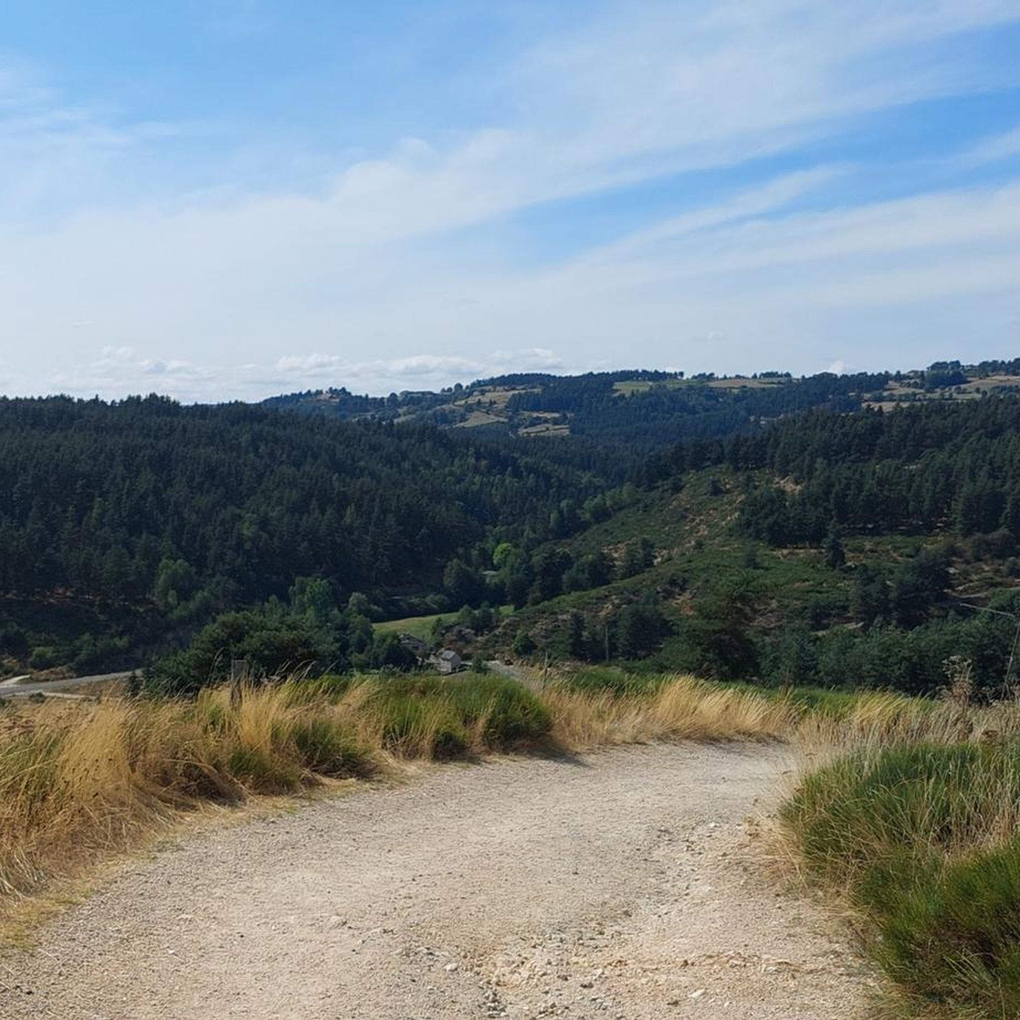
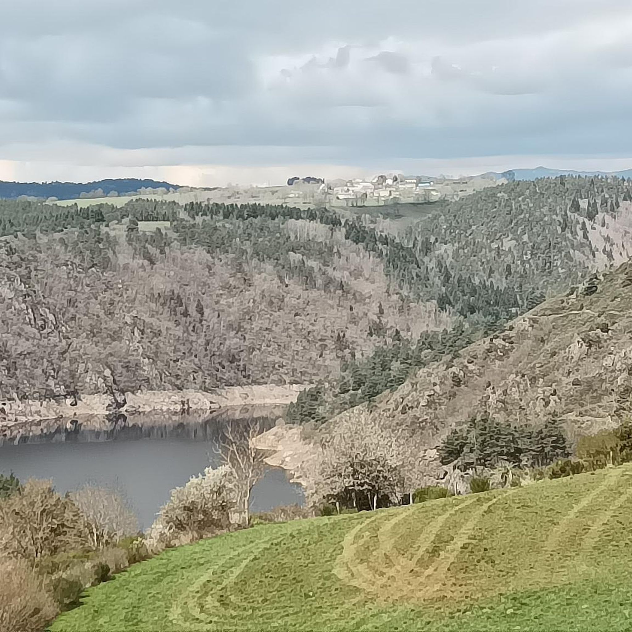
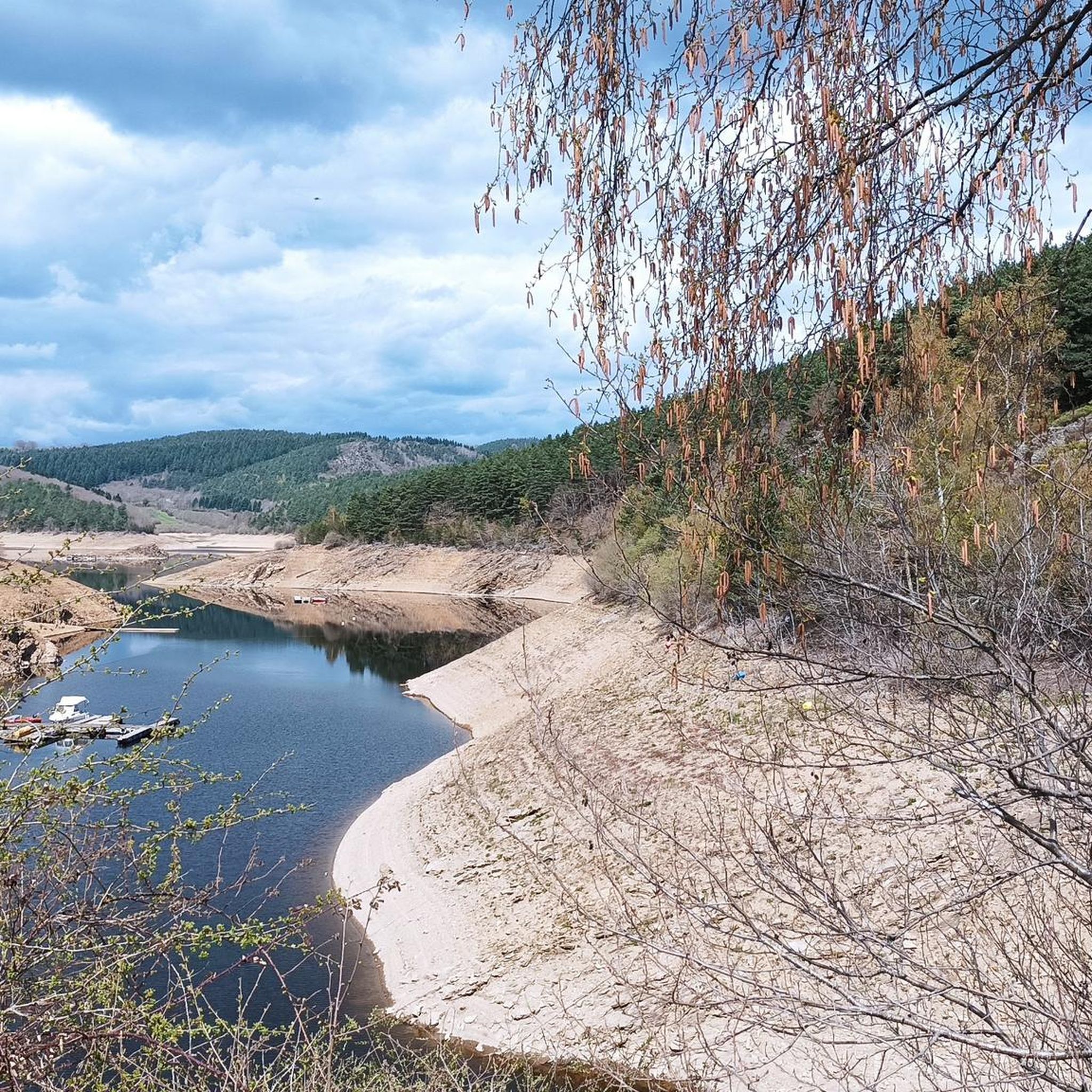
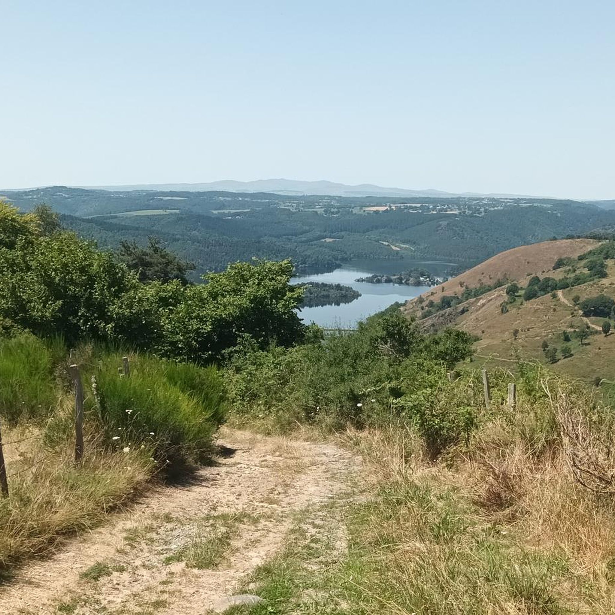
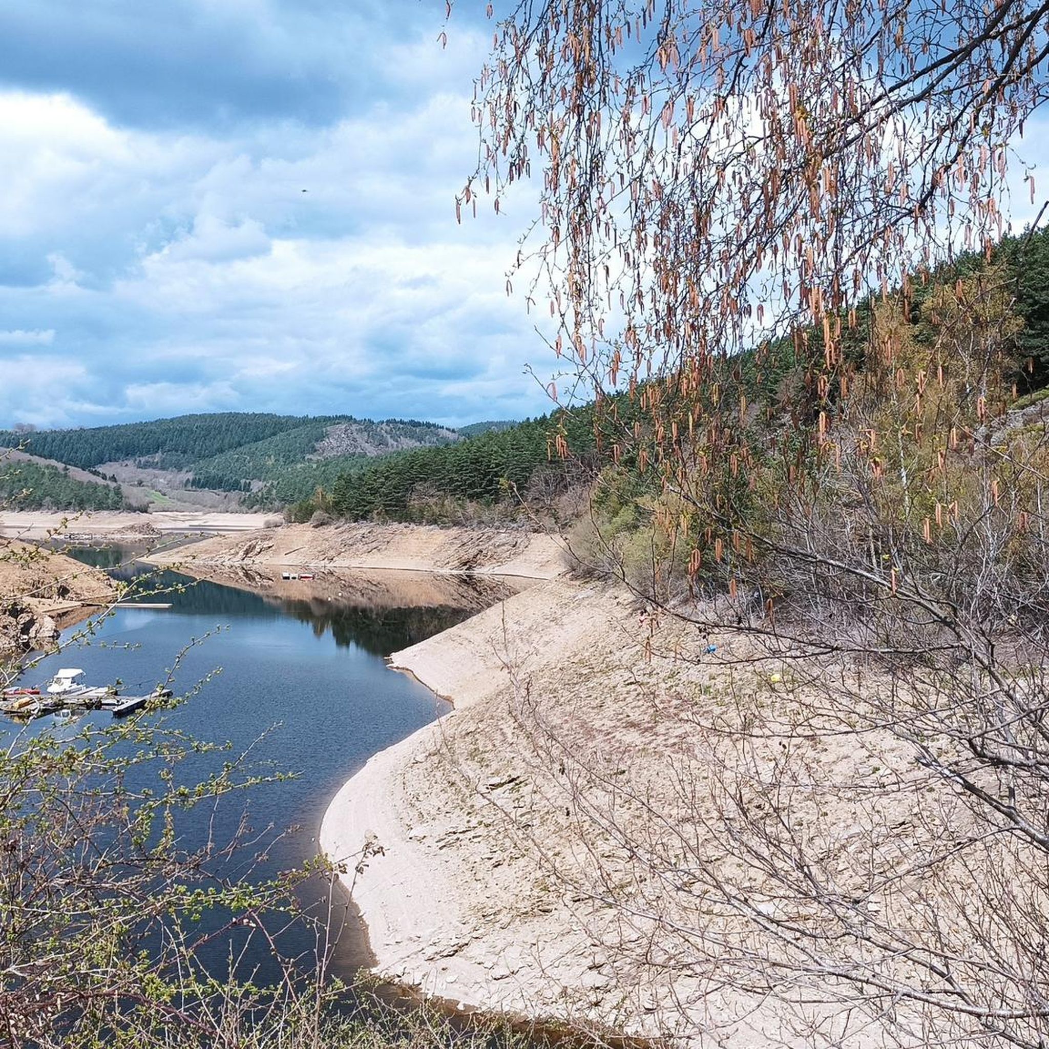
Gravel biking around Val-D'Arcomie offers diverse terrain within the Cantal department of the Auvergne-Rhône-Alpes region. The area features river valleys, expansive lakes, and mountainous landscapes shaped by volcanic activity, including the Margeride massif. Altitudes within the municipality range from 726m to 1087m, providing varied ascents and descents. This topography creates a network of forest tracks, high plateaus, and less-trafficked paths suitable for gravel cycling.
Best gravel bike trails around Val-D'Arcomie
- The most popular gravel bike trail is Fournels Village –…
Last updated: July 2, 2026
5.0
(2)
13
riders
52.6km
04:07
980m
980m
Hard gravel ride. Very good fitness required. Mostly paved surfaces. Suitable for all skill levels.
3
riders
85.4km
06:20
1,460m
1,460m
Hard gravel ride. Very good fitness required. Mostly paved surfaces. Suitable for all skill levels.

Sign up for free
4.0
(2)
6
riders
Hard gravel ride. Very good fitness required. Mostly paved surfaces. Suitable for all skill levels.
2
riders
43.1km
03:41
950m
950m
Hard gravel ride. Very good fitness required. Mostly paved surfaces. Suitable for all skill levels.
2
riders
14.4km
01:32
500m
500m
Hard gravel ride. Very good fitness required. Mostly paved surfaces. Suitable for all skill levels.
Get access to more routes and recommendations from other explorers.
Sign up for free
Already have an account?
Our route recommendations are based on thousands of hikes, rides, and runs completed by other people on komoot.
Start today with a free account
Your next adventure awaits.
Login or Signup
Tips from the Community

Pretty modest-sized castle, it's a change from the big imposing castles, this one is almost like a large villa and it has its charm!
0
0

I confirm, only happiness on rough but vast and quiet tracks, sometimes deliciously wooded, for us e-mountain bikes very useful that day. Be careful, few markings and quite a few side paths, enough to come back 👍 and explore. On this mid-October day we were alone in the world, a rare pleasure...
0
0

Historical wealth - Magnificent landscapes - Slightly difficult hike, good physical condition required.
0
0

Saint-Chély-d'Apcher and its surrounding area are a must-see. You can come and stroll along the ramparts and through the ancient streets of the historic center, and admire the statues of the Beast of Gévaudan. Foodies can stock up on local products in the many small shops.
1
0
Mont Mouchet is a peak that is part of the Margeride massif. There, you'll find very rocky areas and other more wooded areas, composed of beech and fir forests. As a result, the landscapes are fabulous. Mont Mouchet is also a site classified as a High Place of the Resistance in Auvergne. From here, you can enjoy a superb 360° panorama.
0
0
The Mont Mouchet Museum and Memorial pay tribute to Lucien and Pierrot, who, in 1944, joined one of France's five maquis. They committed to preventing the German army stationed to the south from advancing toward Normandy. Through a tour of authentic objects, documents, photos, and videos, you will discover the historical events that brought Mont Mouchet to life.
0
0
Very nice hike, I recommend starting in the opposite direction in order to finish by going down the scree rather than going up... otherwise the hike is mainly on shaded paths...
0
0

6km pass with an average gradient of 4% and sections of over 10%. A superb path with breathtaking views of the Aubrac.
0
0
Frequently Asked Questions
How many gravel bike trails are available in Val-D'Arcomie?
Val-D'Arcomie offers a selection of 11 gravel bike trails, providing diverse options for exploring the region's unique landscapes. While most are challenging, there is one moderate route available.
What kind of terrain can I expect on gravel bike trails in Val-D'Arcomie?
You'll encounter a varied topography, including river valleys, expansive lakes, and mountainous landscapes shaped by volcanic activity, particularly within the Margeride massif. Routes often feature forest tracks, high plateaus, and less-trafficked paths, offering both challenging climbs and scenic descents. The region is known for its 'pure, unspoilt beauty' with rolling hills and views of dormant volcanoes.
What is the best time of year for gravel biking in Val-D'Arcomie?
The Auvergne region, including Val-D'Arcomie, is generally best enjoyed for outdoor activities during the warmer months, typically from late spring through early autumn (May to October). This period offers more stable weather conditions and allows for full appreciation of the scenic landscapes.
Are there any easy gravel bike trails suitable for beginners in Val-D'Arcomie?
While most of the gravel routes in Val-D'Arcomie are rated as difficult, there is one moderate trail available. For those seeking a less strenuous ride, it's advisable to check the elevation profiles and distances carefully. The region's extensive network of 'Rando Pedestre (ou VTT)' trails, often suitable for gravel bikes, might also offer some gentler sections.
What interesting sights or landmarks can I see while gravel biking in Val-D'Arcomie?
The region is rich in natural and historical attractions. You might encounter the iconic Garabit Viaduct spanning the Truyère valley, or cycle past picturesque lakes like Lake Grandval and Lac de Mallet. Historical sites include the impressive Alleuze Castle and the Roc-Saint-Pierre chapel. Other points of interest include Saint-Flour, The Fairy Gate, and the Valadour Footbridge, Chaliers.
Are there any routes that offer panoramic views?
Yes, the volcanic and mountainous terrain of Val-D'Arcomie, part of the Auvergne region, is renowned for its panoramic views. Routes often traverse high plateaus and offer vistas of rolling hills and the dramatic Truyère Valley. For example, the National Monument to the Maquis – Viewpoint at Mont Mouchet loop from Lalo specifically highlights a viewpoint.
Can I find circular gravel bike routes in the area?
Yes, many of the gravel bike trails in Val-D'Arcomie are designed as loops, allowing you to start and finish at the same point. Examples include the Fournels Village – Saint-Chély-d'Apcher loop from Fournels and the Ridge – Ruynes-en-Margeride loop from Puech de Jourde.
What are the typical elevation gains on gravel routes in Val-D'Arcomie?
Given the region's diverse topography, including altitudes ranging from 726m to 1087m within the municipality, you can expect significant elevation gains. Difficult routes often feature climbs of 800-1200 meters. For instance, the Malzieu-Ville – the medieval village of Malzieu loop from Le Malzieu-Ville has an elevation gain of over 1200 meters.
What do other gravel bikers enjoy the most about gravel biking in Val-D'Arcomie?
The area is highly rated by the komoot community, with an average score of 4.75 stars from over 6 reviews. Riders often praise the diverse terrain, from river valleys to volcanic landscapes, and the opportunity to explore less-trafficked paths and forest tracks. The challenging nature of many routes also appeals to those seeking a rewarding adventure.
Are there family-friendly gravel biking options in Val-D'Arcomie?
While many routes are rated difficult, the broader Hautes Terres du Cantal region, which includes Val-D'Arcomie, offers a network of trails. For family-friendly options, it's best to look for shorter, less elevated sections or explore the 'Rando Pedestre (ou VTT)' circuits which may have easier segments suitable for a family outing. Always check the route details for distance and elevation before heading out.
Where can I find parking for gravel bike trails in Val-D'Arcomie?
Many villages in the Val-D'Arcomie area, such as Saint Just and Loubaresse, offer amenities including parking. For specific trailheads, it's recommended to check the starting points of individual routes on komoot, as parking information is often provided there. Generally, you can find parking in or near the towns where routes begin, like Fournels or Ruynes-en-Margeride.
Is public transport available to access gravel bike trails in Val-D'Arcomie?
Public transport options directly to remote trailheads in Val-D'Arcomie can be limited, as is common in rural mountainous regions. It's advisable to plan your trip with a car for maximum flexibility. However, some larger towns in the vicinity might have bus services, which could potentially connect to areas closer to certain routes. Always check local transport schedules in advance.
Most popular routes around Val-D'Arcomie
Most popular attractions around Val-D'Arcomie

Get inspired with the komoot mobile app


Explore more
Browse the best Gravel rides in other regions.
