The best gravel rides around Bissy-La-Mâconnaise
4.2
(16)
242
riders
15
rides
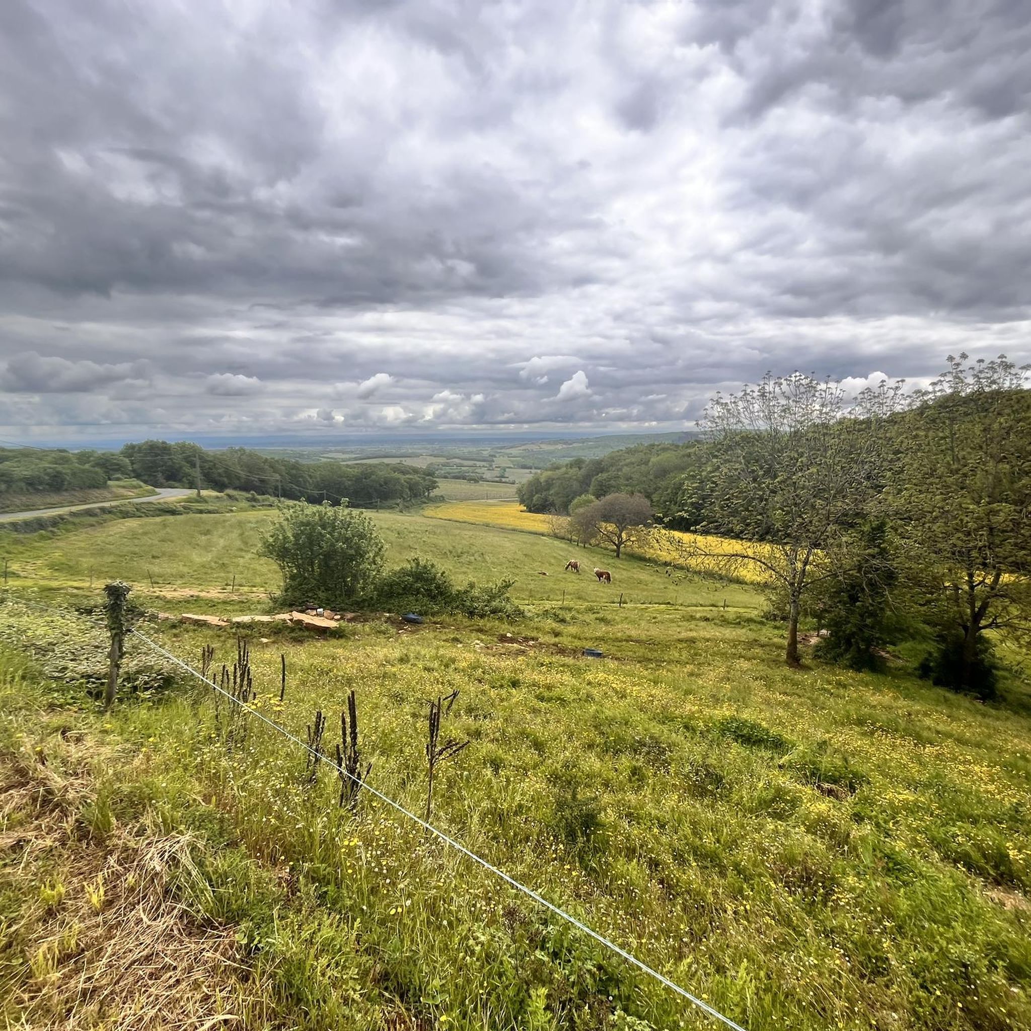
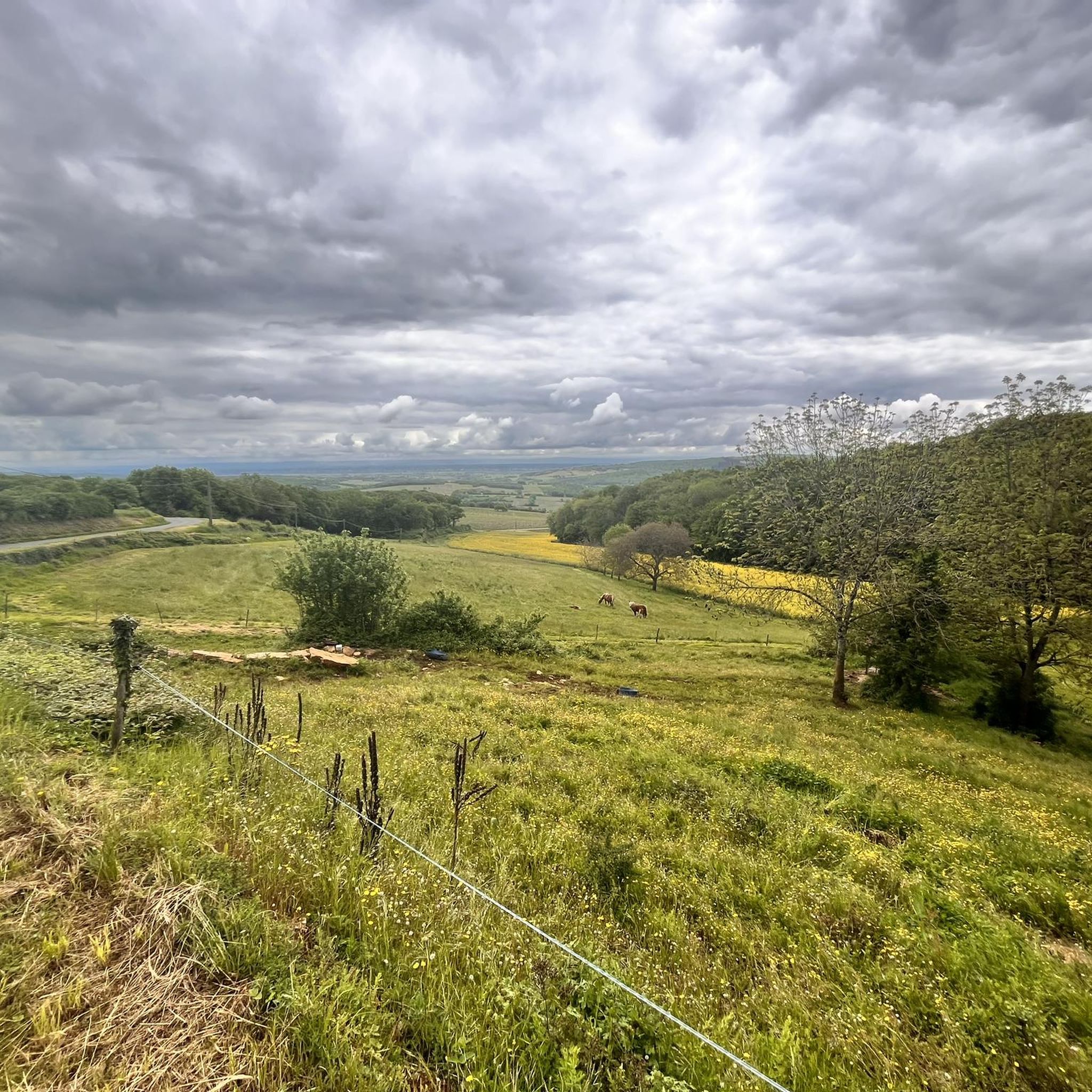
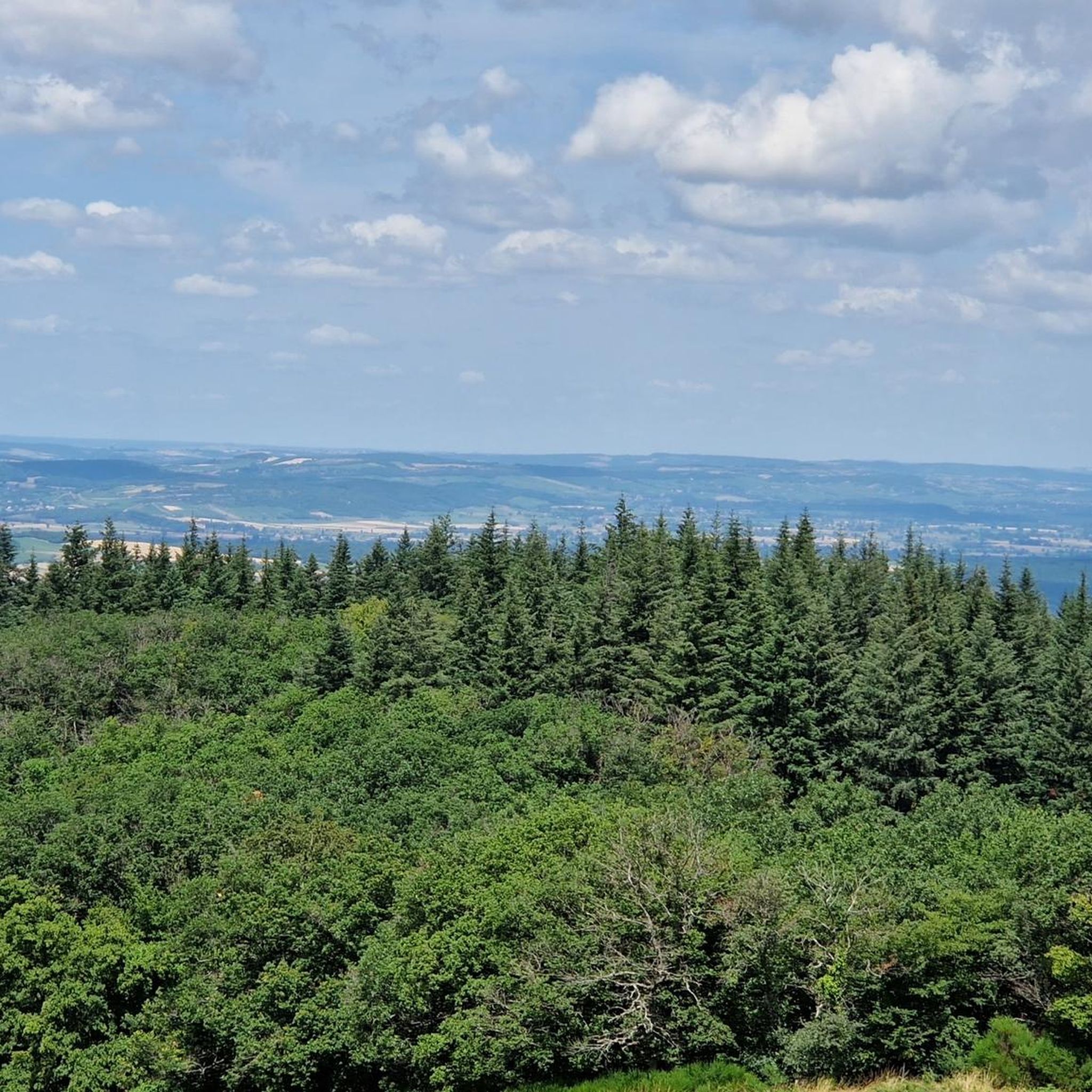
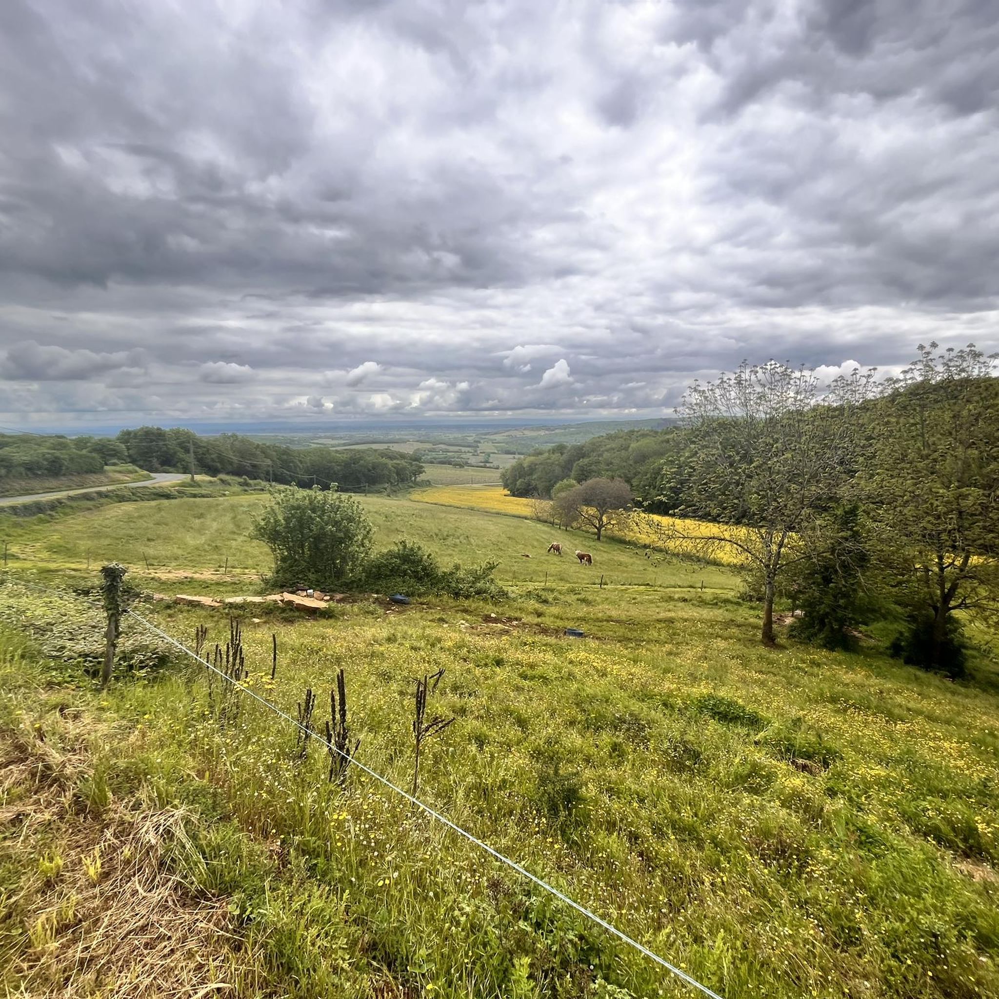
Gravel biking around Bissy-La-Mâconnaise offers varied topography, with elevations ranging from 243 to 530 meters, providing both ascents and descents. The region features a rural landscape characterized by expansive meadows, dense woods, and extensive vineyards. Routes often combine paved and unpaved sections, traversing vine-covered hills and country roads within the Mâconnais wine region. This area in the Saône-et-Loire department of Burgundy provides diverse terrain for gravel cyclists.
Best gravel bike trails around Bissy-La-Mâconnaise
- The most popular gravel bike trail is…
Last updated: July 3, 2026
3.3
(3)
76
riders
67.6km
05:40
1,320m
1,320m
Hard gravel ride. Very good fitness required. You may need to push your bike for some segments of this route.
4.5
(2)
14
riders
Hard gravel ride. Very good fitness required. Mostly paved surfaces. Suitable for all skill levels.

Sign up for free
5.0
(2)
28
riders
94.1km
05:28
910m
900m
Hard gravel ride. Very good fitness required. Mostly paved surfaces. Suitable for all skill levels.
4.5
(2)
7
riders
Hard gravel ride. Very good fitness required. Mostly paved surfaces. Suitable for all skill levels.
5.0
(1)
17
riders
Moderate gravel ride. Good fitness required. Mostly paved surfaces. Suitable for all skill levels.
Get access to more routes and recommendations from other explorers.
Sign up for free
Already have an account?
Our route recommendations are based on thousands of hikes, rides, and runs completed by other people on komoot.
Start today with a free account
Your next adventure awaits.
Login or Signup
Tips from the Community

Magnificent ride mostly in the shade on level, smooth ground.
1
0
The imposing Chateau can only be viewed from the outside.
1
0
The historic washhouse of Collonges (often also referred to as Lavoir de Cruzille), located in the French municipality of Cruzille in the Saône-et-Loire department in the Burgundy region. Such covered public wash places (French: Lavoir) were built in the 18th and 19th centuries in many French villages to make it easier for women to wash clothes. The building in the selected area has an open front with striking stone columns and a forelying fountain basin with a decorative pillar in the middle.
1
0
The historic church Église Saint-Pierre de Cruzille originally dates from the early 12th century and was built in the Romanesque style. Despite numerous renovations over the centuries, the church has retained its overall Romanesque character.
1
0
In this small town with its surrounding endless vineyards, everyone seems to live from viticulture.
1
0
An idyllic, paved cycle path directly on the riverbank. It is a section of the well-known French long-distance cycle route „La Voie Bleue - Moselle-Saône Radweg" (Route V50) along the Saône. The entire long-distance cycle route covers around 700 kilometers from the Luxembourg border town of Apach (near the tripoint) to Lyon. The Saône section follows the natural meanders of the Saône, passing meadows, historic villages, and well-known wine-growing regions such as Mâcon. The route is mostly flat on former towpaths.
0
0
An idyllic, asphalted cycle path right on the riverbank. This is a section of the well-known French long-distance cycle route "La Voie Bleue - Moselle-Saône Radweg" (Route V50) along the Saône. The entire long-distance cycle route runs for around 700 kilometers from the French border town of Apach (near the tripoint) to Lyon. The Saône section follows the natural meanders of the Saône, passing meadows, historic villages, and well-known wine-growing regions such as Mâcon. The route runs mostly flat on former towpaths.
0
0
The Plan d'Eau de Fleurville (also known as Gravière de Fleurville) is a beautiful recreational and natural lake in the Saône-et-Loire department. The body of water is located directly on the border of the municipalities of Saint-Albain and Fleurville on the Saône. It is a former gravel pit that has been renatured and is today an important refuge for biodiversity as well as a popular excursion destination. The lake is equipped with picnic tables, fishing piers, and observation points. It is an excellent place for hiking, cycling (near the Voie Bleue cycle path), and birdwatching (e.g. for storks and migratory birds).
0
0
Frequently Asked Questions
What kind of terrain can I expect on gravel bike trails around Bissy-La-Mâconnaise?
The gravel bike trails in Bissy-La-Mâconnaise offer a diverse mix of terrain. You'll encounter both paved and unpaved sections, winding through vine-covered hills, expansive meadows, and dense woods. The region's topography, with elevations ranging from 243 to 530 meters, ensures varied routes with both challenging ascents and rewarding descents.
Are there gravel bike routes suitable for beginners or those looking for an easier ride?
While many routes in the area feature challenging climbs, there are options for moderate skill levels. For instance, the Between Fleurville and Tournus – Between Tournus and Mâcon loop from Fleurville is a moderate 54.0 km path that offers scenic vineyard and river views without extreme difficulty.
What historical landmarks or points of interest can I see along the gravel bike trails?
The region is rich in history. Many routes pass by significant sites. You might encounter the 12th-century Romanesque Église Saint-Cyr-et-Sainte-Julitte in Bissy-la-Mâconnaise itself, or vestiges of a Roman road near Charcuble. Nearby, you can visit the magnificent Cormatin Castle, known for its grand architecture and gardens, or the historic towns of Cluny and Tournus with their protected centers and abbeys.
Are there any circular gravel bike routes in the Bissy-La-Mâconnaise area?
Yes, several popular routes are designed as loops, allowing you to start and end at the same point. A great example is the challenging Fleurville Castle – View of Royer loop from Fleurville - Pont-de-Vaux, which covers 64.2 km and offers varied terrain.
What do other gravel bikers say about the trails in Bissy-La-Mâconnaise?
The gravel biking routes in Bissy-La-Mâconnaise are highly rated by the komoot community, with an average score of 4.1 stars from over 10 reviews. Riders frequently praise the diverse landscapes, including vineyards and undulating hills, and the combination of challenging sections with beautiful, quiet paths.
Can I find routes that offer panoramic views or scenic viewpoints?
Absolutely. The undulating Mâconnais landscape naturally provides many opportunities for scenic views. Routes like the Chapelle Saint-Criat – Mount Saint-Romain loop from Azé lead through elevated areas, offering expansive panoramas of the surrounding vineyards and countryside.
What is the best time of year for gravel biking in Bissy-La-Mâconnaise?
The region is beautiful throughout much of the year. Spring and autumn generally offer pleasant temperatures and vibrant scenery, with blooming vineyards in spring and rich colors in autumn. Summer can be warm, but early mornings or late afternoons are often ideal. Winter rides are possible, but be prepared for cooler, potentially wetter conditions.
Are there any family-friendly gravel biking options in the area?
While many routes feature significant elevation changes, some sections or shorter loops might be suitable for families with older children or those comfortable with moderate distances. Look for routes that stick to flatter vineyard paths or less technical sections. Always check the route details for elevation and surface type to ensure it matches your family's ability.
Are there options for longer, more challenging gravel bike tours?
Yes, Bissy-La-Mâconnaise is well-suited for longer, more demanding gravel rides. Many of the 13 available tours are classified as difficult, with significant elevation gains. For example, the Greenway of Southern Burgundy – Cluny loop from Péronne is a challenging 66.7 km route that takes around 4 hours 45 minutes to complete.
Where can I find parking for gravel biking trails in Bissy-La-Mâconnaise?
Parking is generally available in the villages and towns that serve as starting points for many routes. For example, you can often find parking in Fleurville, Azé, or Saint-Maurice-de-Satonnay, which are common access points for the gravel trails. It's advisable to check specific starting points for designated parking areas.
Is it possible to access gravel bike trails using public transport in Bissy-La-Mâconnaise?
Public transport options directly to trailheads might be limited in this rural region. However, larger towns nearby like Tournus or Mâcon, which are accessible by train, could serve as starting points for longer rides into the Bissy-La-Mâconnaise area. From these towns, you might need to cycle or arrange local transport to reach specific trail access points.
Are there any cafes or restaurants along the gravel bike routes?
While the routes often traverse rural areas, you'll find opportunities for refreshments in the charming villages and towns scattered throughout the Mâconnais region. Planning your route to pass through places like Cluny, Tournus, or even smaller hamlets can provide chances to stop for a coffee, a meal, or to refill water bottles.
Most popular routes around Bissy-La-Mâconnaise
Most popular attractions around Bissy-La-Mâconnaise

Get inspired with the komoot mobile app


Explore more
Browse the best Gravel rides in other regions.
