The best gravel rides around Pruzilly
4.8
(21)
119
riders
25
rides
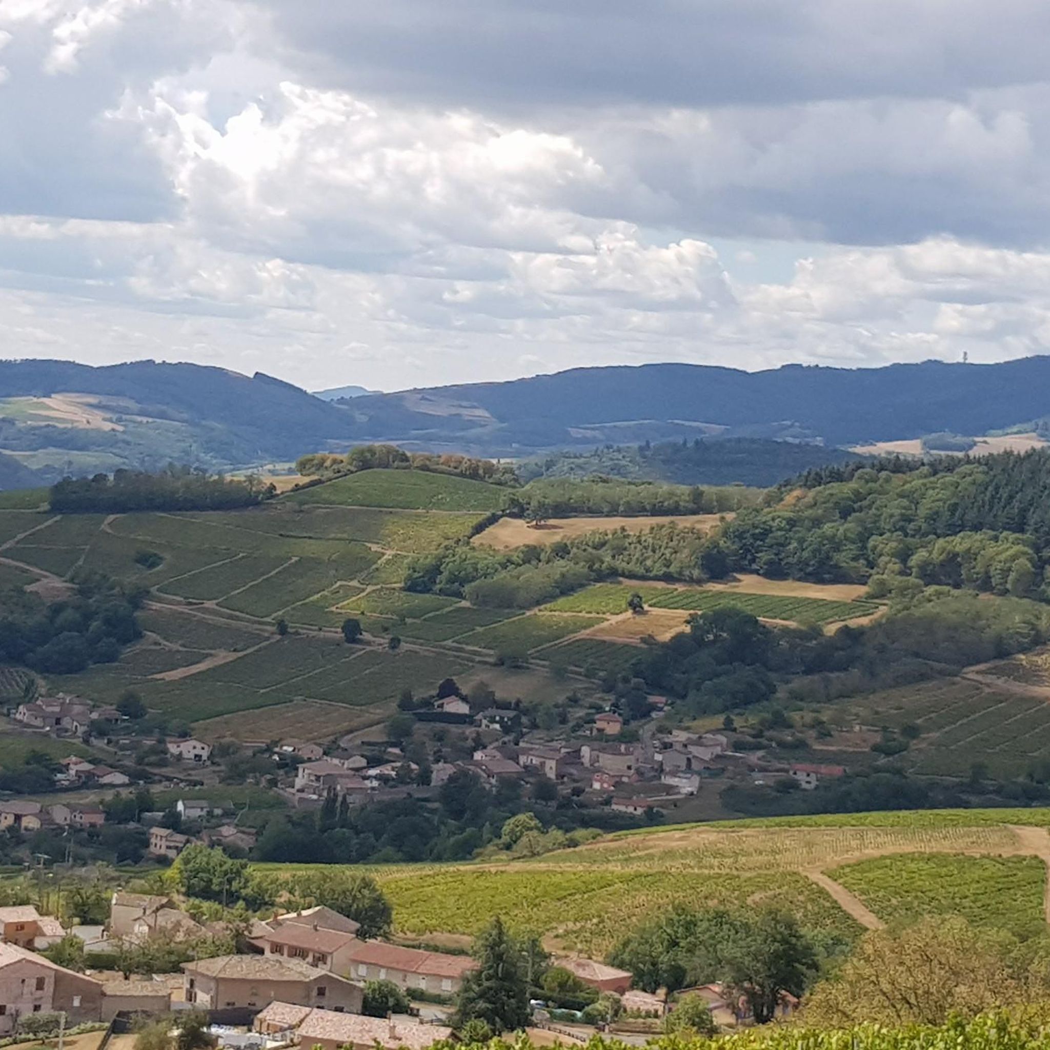
Gravel biking around Pruzilly offers a diverse landscape characterized by river valleys, rolling hills, and agricultural areas. The region features routes along the Saône river and its tributaries, providing relatively flat sections. Further inland, routes ascend towards various "cols" and "mounts," indicating more challenging terrain with significant elevation changes. This mix of waterways and elevated areas creates varied conditions suitable for different gravel biking preferences.
Best gravel bike trails around Pruzilly
- The most popular gravel bike trail is La Voie…
Last updated: July 3, 2026
4.8
(4)
32
riders
85.0km
04:19
100m
100m
Moderate gravel ride. Good fitness required. Mostly paved surfaces. Suitable for all skill levels.
4.7
(7)
46
riders
191km
09:36
530m
530m
Hard gravel ride. Very good fitness required. Mostly paved surfaces. Suitable for all skill levels.

Sign up for free
4.8
(5)
8
riders
37.4km
02:21
180m
180m
Moderate gravel ride. Good fitness required. Mostly paved surfaces. Suitable for all skill levels.
5.0
(1)
4
riders
49.5km
03:52
1,050m
1,050m
Hard gravel ride. Very good fitness required. Mostly paved surfaces. Suitable for all skill levels.
5.0
(1)
4
riders
31.8km
02:35
600m
600m
Hard gravel ride. Very good fitness required. Mostly paved surfaces. Suitable for all skill levels.
Get access to more routes and recommendations from other explorers.
Sign up for free
Already have an account?
Our route recommendations are based on thousands of hikes, rides, and runs completed by other people on komoot.
Start today with a free account
Your next adventure awaits.
Login or Signup
Tips from the Community

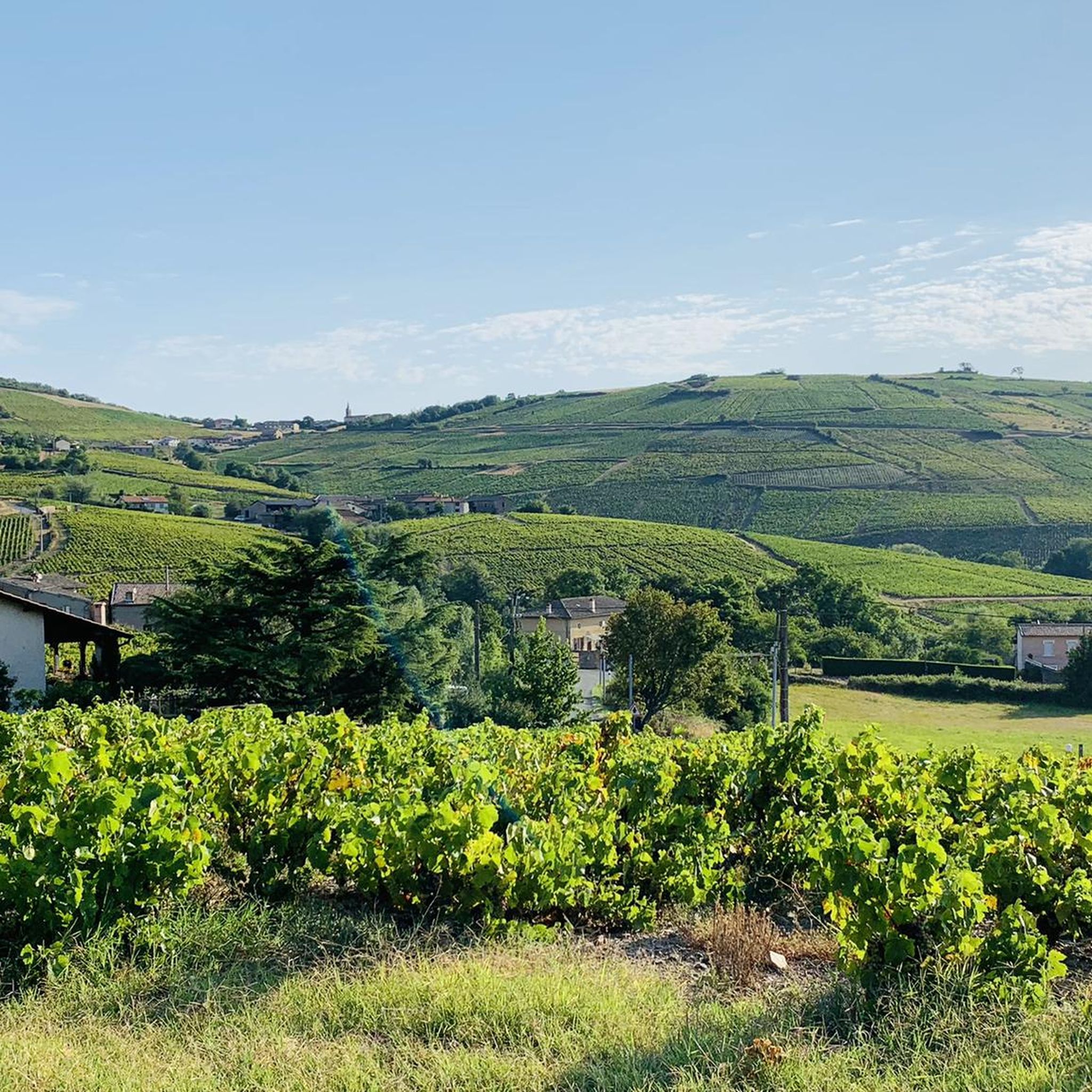
The Rock of Solutré is a world-famous, 493-meter-high limestone rock in the south of the Burgundy region. It is located amidst the picturesque vineyards of the municipality of Solutré-Pouilly. The region is officially designated as a Grand Site de France. The hike to the summit is easy to moderate and very doable for families. It takes about 1 hour for the entire loop (approx. 4 kilometers round trip). The elevation gain is around 100 to 140 meters from the official parking lot on well-maintained paths with information panels, although there are many steps.
1
0
Although the pass is located in France and is not extremely high, its name translates to "Siberia Pass". The name goes back to the often very cold, snow-rich winds and the harsh weather conditions in winter.
1
0
An idyllic, asphalted cycle path right on the riverbank. This is a section of the well-known French long-distance cycle route "La Voie Bleue - Moselle-Saône Radweg" (Route V50) along the Saône. The entire long-distance cycle route runs for around 700 kilometers from the French border town of Apach (near the tripoint) to Lyon. The Saône section follows the natural meanders of the Saône, passing meadows, historic villages, and well-known wine-growing regions such as Mâcon. The route runs mostly flat on former towpaths.
0
0
The Voie Verte (Green Way) is a former, paved railway line. At the starting point in Charnay-lès-Mâcon is the Vélo-Gare du Mâconnais - a former train station, which today serves as a tourist office and bicycle rental.
1
0
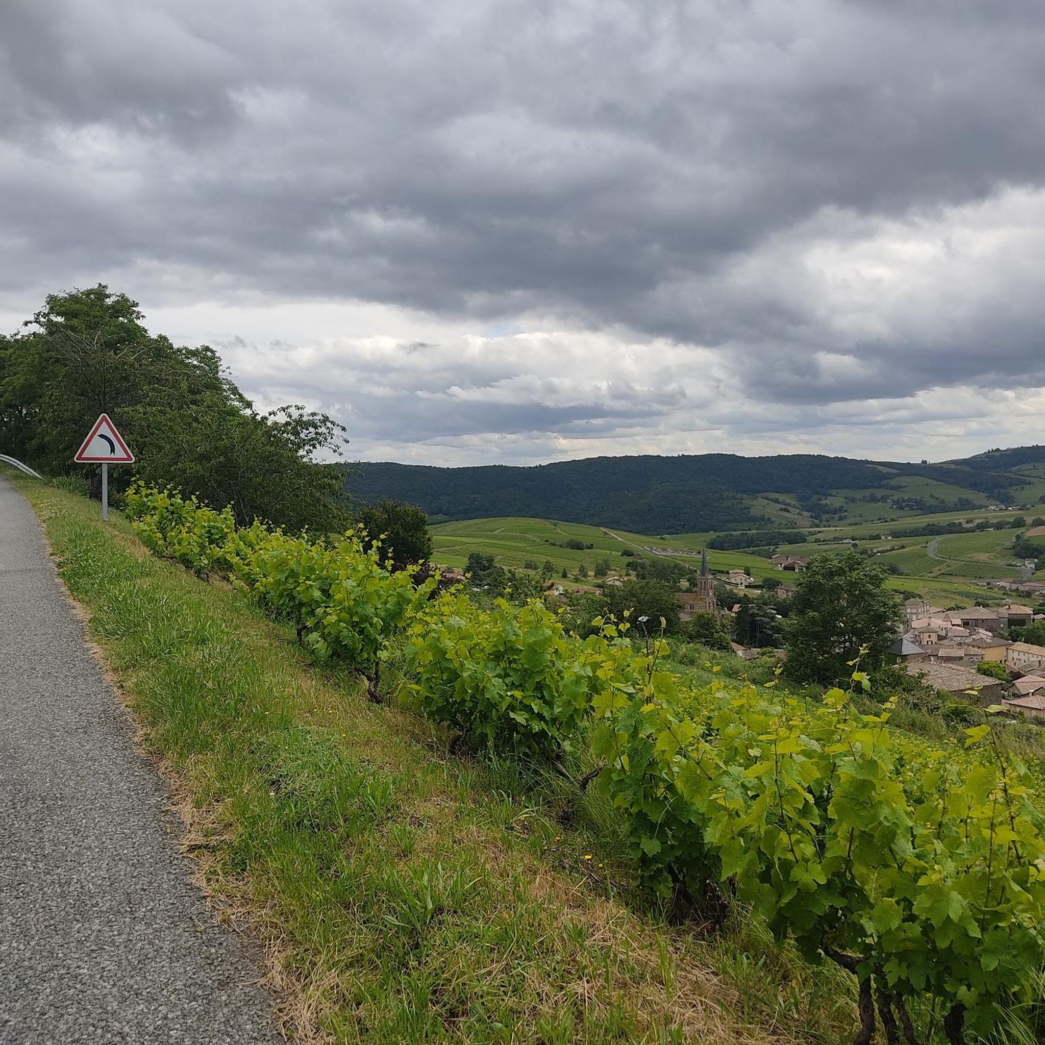
The Col de Gerbet (612 m) is an idyllic mountain pass in the French wine-growing region of Beaujolais. Depending on the starting point, various roads with little traffic lead up to the pass via the D137. From Juliénas (south-east approach): This route is 7.3 kilometers long. It overcomes 342 meters of altitude with a steady, moderate gradient of 4.7% on average. The road winds through shady forest sections. From La Croix Blanche (west approach): A tougher variant 4.5 kilometers long. Here you conquer 270 meters of altitude with an average gradient of 6% and ramps of up to 11%.
1
0

Along the Saône runs the unfortunately often unpaved, patchy Voie Bleu ("Blue Way"). Incidentally, there is only one Voie Bleu, unlike the Voies Vertes. From Wikivoyage.
1
0

Beautiful cycle path directly along the Saone.
0
0

Frequently Asked Questions
How many gravel bike trails are available around Pruzilly?
There are over 15 gravel bike routes in the Pruzilly area, catering to various skill levels. You'll find a mix of easy, moderate, and challenging options to explore the diverse landscape.
Are there any easy gravel bike trails suitable for beginners or families in Pruzilly?
Yes, Pruzilly offers several easy gravel bike trails. For a gentle ride, consider the Camping de Thoissey – La Saône, great cycle routes 👍 loop from Crêches-sur-Saône, which is 20.5 km long and features minimal elevation gain, perfect for a relaxed outing.
What are the options for more advanced gravel bikers looking for a challenge?
Advanced riders will find plenty to enjoy. The region features routes with significant climbs towards various 'cols' and 'mounts'. A challenging option is the Mount Pouilly – Col de la Grange du Bois loop from Charnay-lès-Mâcon, which covers 30.1 km with over 570 meters of elevation gain.
Are there any gravel bike routes that offer scenic viewpoints?
Absolutely. The hilly terrain around Pruzilly provides excellent opportunities for scenic views. You can find stunning vistas from locations like Rémont Mountain and Mount Pouilly, which are often incorporated into longer routes.
What kind of terrain can I expect on gravel bike trails in Pruzilly?
The terrain is quite varied. You'll encounter relatively flat sections along the Saône river and its tributaries, as well as rolling hills and more significant ascents towards various 'cols' and 'mounts' further inland. Routes also pass through agricultural landscapes, offering a mix of surfaces.
Are there any circular gravel bike routes in the Pruzilly area?
Yes, many of the gravel bike routes in Pruzilly are designed as loops, allowing you to start and finish at the same point. For example, the La Saône, great cycle routes 👍 loop from Crêches-sur-Saône is a popular 37.4 km circular path along the river.
What natural attractions can I see along the gravel bike trails near Pruzilly?
The region boasts impressive natural monuments. You can cycle past or near iconic landmarks such as Roche de Solutré and Vergisson Rock, both offering dramatic geological formations and historical significance.
What do other gravel bikers say about the trails in Pruzilly?
The gravel bike trails in Pruzilly are highly regarded by the komoot community, with an average rating of 4.8 out of 5 stars from over 10 reviews. Riders often praise the diverse scenery, the mix of riverside paths and challenging climbs, and the overall quality of the routes.
Is it possible to access the gravel bike trails using public transport?
While Pruzilly itself is a smaller village, many routes start from nearby towns like Crêches-sur-Saône or Mâcon-Loché-TGV, which are more accessible by public transport, including train services. From these points, you can easily connect to the gravel network.
Are there any long-distance gravel biking options in the area?
For those seeking a longer adventure, the region offers extensive routes. The La Voie Bleue – Beauregard loop from Crêches-sur-Saône is a substantial 148.8 km trail that follows a significant portion of the scenic La Voie Bleue, providing an epic day out on the bike.
What is the best time of year for gravel biking in Pruzilly?
Spring and autumn generally offer the most pleasant conditions for gravel biking in Pruzilly, with milder temperatures and beautiful scenery. Summer can be enjoyable, but be prepared for warmer weather, especially on exposed sections. Winter riding is possible, but some trails might be muddy or require more robust gear.
Are there any routes that pass through interesting towns or villages where I could stop for a break?
Yes, several routes traverse charming local villages. While specific cafe stops are not always highlighted, routes often pass through settlements like Tramayes or near Saint-Jacques-des-Arrêts, where you might find local amenities for a break.
Most popular attractions around Pruzilly

Get inspired with the komoot mobile app


Explore more
Browse the best Gravel rides in other regions.
