The best gravel rides around Angoustrine-Villeneuve-Des-Escaldes
4.6
(25)
635
riders
80
rides
Gravel biking around Angoustrine-Villeneuve-Des-Escaldes offers routes through the high valleys of the Pyrenees. The region is characterized by mountainous terrain, with a mix of forested areas, open plateaus, and river valleys. Gravel bike trails in this area often feature significant elevation changes, providing challenging climbs and descents. The landscape includes views of peaks and access to remote natural settings.
Best gravel bike trails around Angoustrine-Villeneuve-Des-Escaldes
- The most popular gravel bike trail is Estret d'Isòvol Trail – Trail to the Bridge…
Last updated: July 3, 2026
5.0
(1)
42
riders
46.4km
03:07
480m
480m
Hard gravel ride. Very good fitness required. Mostly paved surfaces. Suitable for all skill levels.
22
riders
45.3km
03:16
530m
530m
Hard gravel ride. Very good fitness required. You may need to push your bike for some segments of this route.

Sign up for free
5.0
(3)
74
riders
47.8km
03:22
1,190m
1,190m
Hard gravel ride. Very good fitness required. Mostly paved surfaces. Suitable for all skill levels.
13
riders
Hard gravel ride. Very good fitness required. Mostly paved surfaces. Suitable for all skill levels.
5.0
(1)
11
riders
27.5km
02:30
690m
690m
Hard gravel ride. Very good fitness required. Mostly paved surfaces. Suitable for all skill levels.
Get access to more routes and recommendations from other explorers.
Sign up for free
Already have an account?
Our route recommendations are based on thousands of hikes, rides, and runs completed by other people on komoot.
Start today with a free account
Your next adventure awaits.
Login or Signup
Popular around Angoustrine-Villeneuve-Des-Escaldes

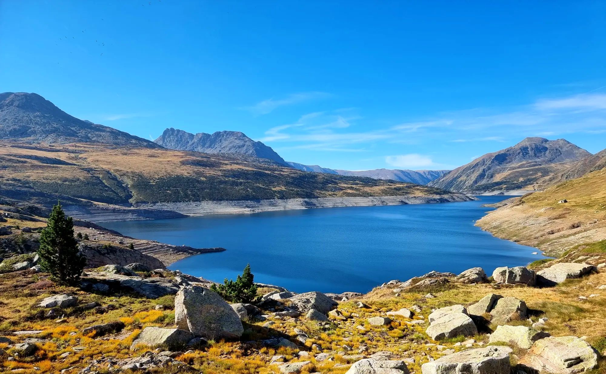
Haute Route Pyrénéenne – Pyrenees Crossing
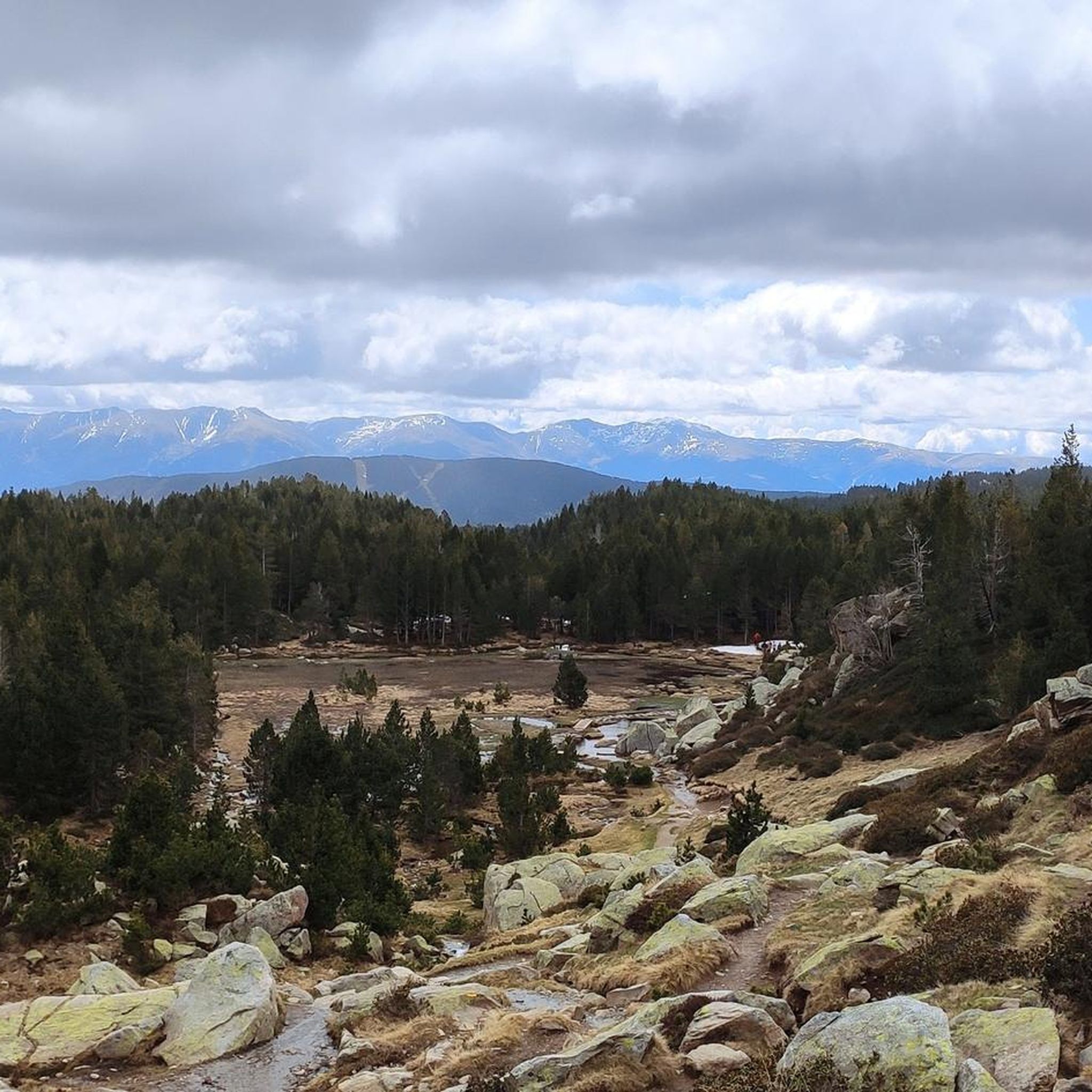
Tour des Pérics – Carlit and Grand Péric variants
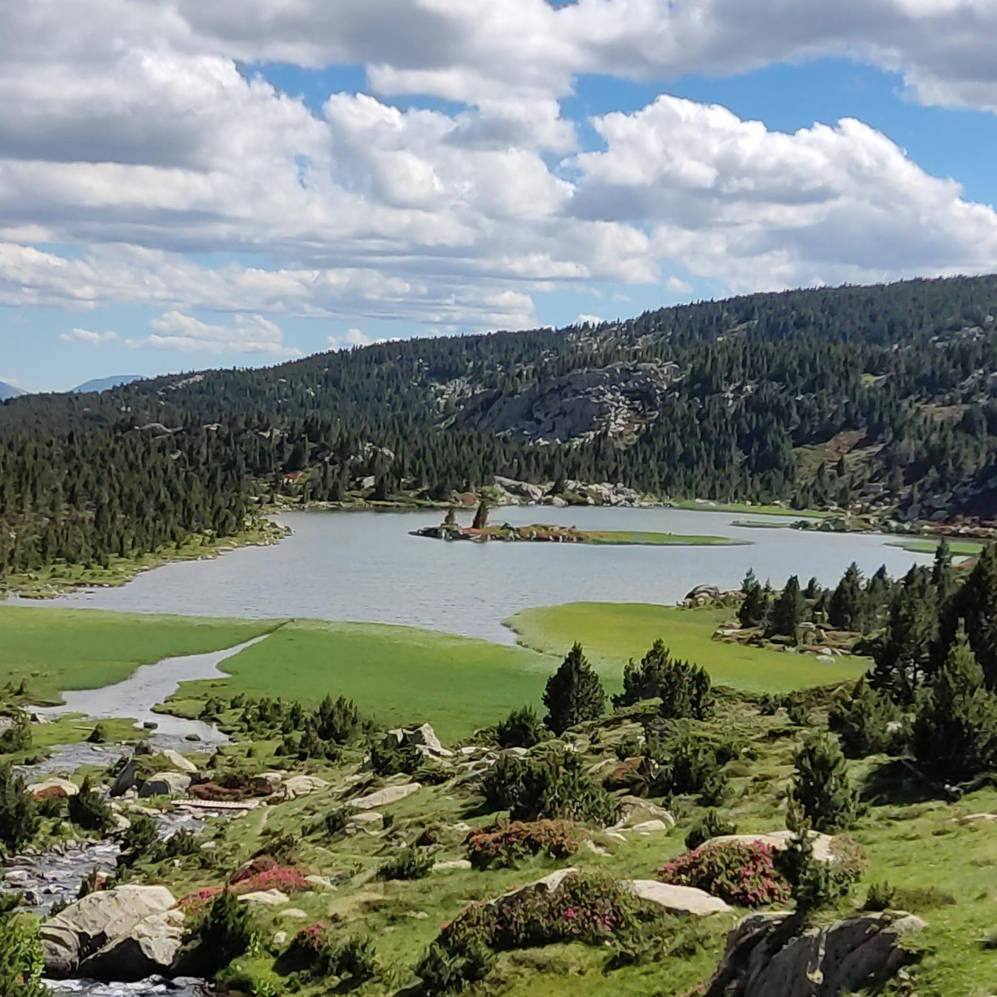
Hiking around Angoustrine-Villeneuve-Des-Escaldes
Cycling around Angoustrine-Villeneuve-Des-Escaldes
Running Trails around Angoustrine-Villeneuve-Des-Escaldes
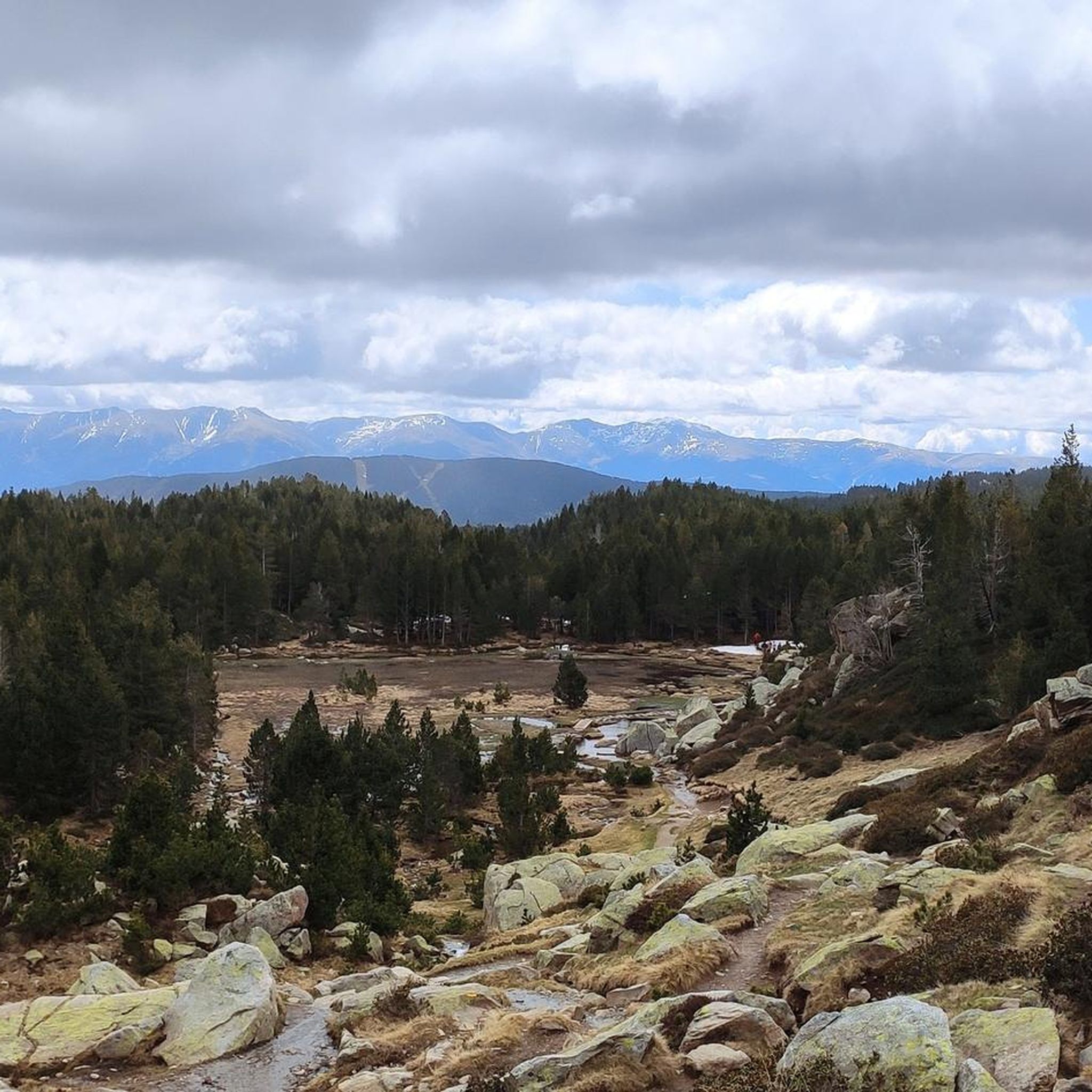
Road Cycling Routes around Angoustrine-Villeneuve-Des-Escaldes
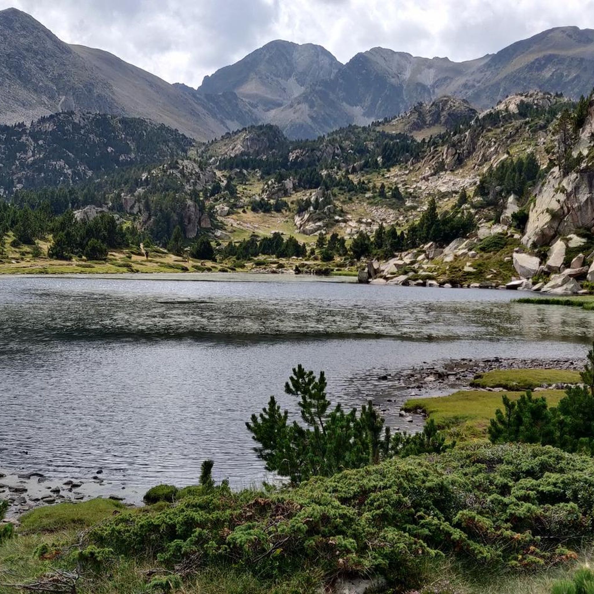
MTB Trails around Angoustrine-Villeneuve-Des-Escaldes
Mountain Hikes around Angoustrine-Villeneuve-Des-Escaldes
Other adventures around Angoustrine-Villeneuve-Des-Escaldes


Tips from the Community


Helmet and good physical condition required! Beautiful views at the Mirador.
0
0

The small and cosy Feixa refuge is located in the Catalan region of Cerdanya, at an altitude of 2,160 metres. It has just 12 places to stay overnight, but it has a shower service, meals and a bar.
0
0

A fantastic route, with wonderful scenery
1
0

It is a beautiful chapel next to the town of Bolvir, which in turn is next to one of the best hotels in Spanish Cerdanya. This chapel marks the beginning of one of the 2 variants (the hardest, along a narrow but in perfect condition road) to reach Guils, and later to the Guils - Fontanera cross-country ski resort.
1
0

Frequently Asked Questions
How many gravel bike trails are available around Angoustrine-Villeneuve-Des-Escaldes?
There are nearly 100 gravel bike trails in the Angoustrine-Villeneuve-Des-Escaldes region, offering a wide range of options for different skill levels. The majority of these routes are considered difficult, providing a significant challenge for experienced riders.
Are there any easy gravel bike trails suitable for beginners or families?
While the region is known for its challenging terrain, there are a few easier options. You can find around 9 routes classified as easy. For a moderate option that is less demanding than many in the area, consider the Path from Llívia to Ur – Path from Llivia to Ur loop from Estació inferior, which is 14.2 miles (22.9 km) long.
What is the best time of year for gravel biking in Angoustrine-Villeneuve-Des-Escaldes?
The best time for gravel biking in this high-altitude Pyrenean region is typically from late spring to early autumn (May to October). During these months, the weather is generally more stable, and trails are clear of snow. Always check local weather forecasts, especially for mountain conditions, before heading out.
Are there any long-distance gravel biking options in the area?
Yes, many routes in Angoustrine-Villeneuve-Des-Escaldes offer substantial distances. For a longer ride, the Ski station viewpoint – Refugi de la Feixa (2,160 m) loop from Puigcerdà covers 29.7 miles (47.8 km) with significant elevation gain, providing a full day's adventure.
What kind of attractions or landmarks can I see along the gravel bike trails?
The region is rich in natural beauty and high-altitude features. Many routes offer views of prominent peaks like the Summit of Pic Carlit or mountain passes such as Col de la Perche (1,579 m). You might also encounter huts like Cabane de Rouzet, offering scenic stops.
Are the gravel bike routes in Angoustrine-Villeneuve-Des-Escaldes typically circular?
Many of the gravel bike routes in this area are designed as loops, allowing you to start and finish at the same point. For example, the popular Estret d'Isòvol Trail – Trail to the Bridge loop from Bourg-Madame is a circular route, as is the Path from Llívia to Ur – Path from Llivia to Ur loop from Estavar.
What are the parking options like for gravel biking in this region?
Parking availability varies by trailhead. In smaller villages or near popular starting points, you can often find designated parking areas. For routes starting from towns like Bourg-Madame or Puigcerdà, there are usually more established parking facilities. Always check the specific route details on komoot for recommended starting points and parking information.
Are there any advanced or challenging gravel cycling routes for experienced riders?
Absolutely. The Angoustrine-Villeneuve-Des-Escaldes region is characterized by mountainous terrain, with 56 out of 97 routes classified as difficult. These often feature significant elevation changes and varied surfaces. The Pla de les Forques – Puigcerdá CP2 of The Capitals loop from Estació superior is a challenging 19.2-mile (30.9 km) route through mountain landscapes.
What do other gravel bikers enjoy most about gravel biking in Angoustrine-Villeneuve-Des-Escaldes?
The area is highly rated by the komoot community, with an average score of 4.6 stars from over 20 reviews. Reviewers often praise the stunning Pyrenean landscapes, the challenging climbs, and the sense of remote adventure offered by the varied terrain, from forested sections to open plateaus.
Is Angoustrine-Villeneuve-Des-Escaldes suitable for winter gravel biking?
Winter gravel biking in this high-mountain region can be challenging due to snow and ice, especially at higher elevations. Many trails may be impassable or require specialized equipment. It's generally recommended to stick to lower-altitude routes if attempting winter rides and always check current conditions and avalanche warnings before planning a trip.
Are the gravel trails in Angoustrine-Villeneuve-Des-Escaldes dog-friendly?
Many trails in the Pyrenees are generally dog-friendly, especially if your dog is accustomed to long distances and varied terrain. However, it's crucial to keep dogs on a leash, especially in areas with livestock or wildlife, and to be mindful of local regulations in national parks or protected areas. Always carry enough water for both yourself and your dog.
Can I find cafes or places to refuel along the gravel bike routes?
While some routes pass through or near villages where you might find cafes or small shops, many of the trails venture into remote mountain areas with limited services. It's always advisable to carry sufficient water, snacks, and any necessary supplies for your ride. Plan your route to include stops in towns if you rely on external refueling.
Most popular routes around Angoustrine-Villeneuve-Des-Escaldes
Most popular attractions around Angoustrine-Villeneuve-Des-Escaldes

Get inspired with the komoot mobile app


Explore more
Browse the best Gravel rides in other regions.
