The best gravel rides around Caurel
4.5
(22)
104
riders
7
rides
Gravel biking around Caurel offers diverse landscapes within Brittany's Argoat region, characterized by a mix of natural beauty and cultural heritage. The area features picturesque tow paths along the Blavet River and integrated greenways, providing varied terrain for cyclists. The region also provides access to Lac de Guerlédan and its surrounding "voie verte," offering relatively flat or gently undulating paths. This combination of natural features and established cycling networks makes Caurel suitable for gravel biking.
Best gravel bike trails around…
Last updated: July 3, 2026
3.3
(4)
14
riders
56.6km
03:34
320m
320m
Moderate gravel ride. Good fitness required. Mostly paved surfaces. Suitable for all skill levels.
5.0
(2)
12
riders
33.5km
02:16
250m
250m
Moderate gravel ride. Good fitness required. Mostly paved surfaces. Suitable for all skill levels.

Sign up for free
5.0
(1)
7
riders
57.6km
04:21
770m
770m
Hard gravel ride. Very good fitness required. Mostly paved surfaces. Suitable for all skill levels.
15
riders
38.1km
02:19
340m
340m
Moderate gravel ride. Good fitness required. Mostly paved surfaces. Suitable for all skill levels.
5.0
(1)
8
riders
35.3km
02:34
340m
340m
Moderate gravel ride. Good fitness required. Mostly paved surfaces. Suitable for all skill levels.
Get access to more routes and recommendations from other explorers.
Sign up for free
Already have an account?
Our route recommendations are based on thousands of hikes, rides, and runs completed by other people on komoot.
Start today with a free account
Your next adventure awaits.
Login or Signup



Tips from the Community

The sight of hundreds of war graves is moving, but it also inspires confidence in a Europe that has learned from the tragedies of its history.
0
0

Now part of the Collection https://www.komoot.com/de-de/collection/3600632/-naturdenkmaeler-besondere-baeume-und-weitere-schaetze-der-natur
0
0
Now part of the Collection https://www.komoot.com/de-de/collection/3600632/-naturdenkmaeler-besondere-baeume-und-weitere-schaetze-der-natur
0
0

Sure, it's not really a mountain bike destination, but you should definitely take the time, it's worth it.
1
0

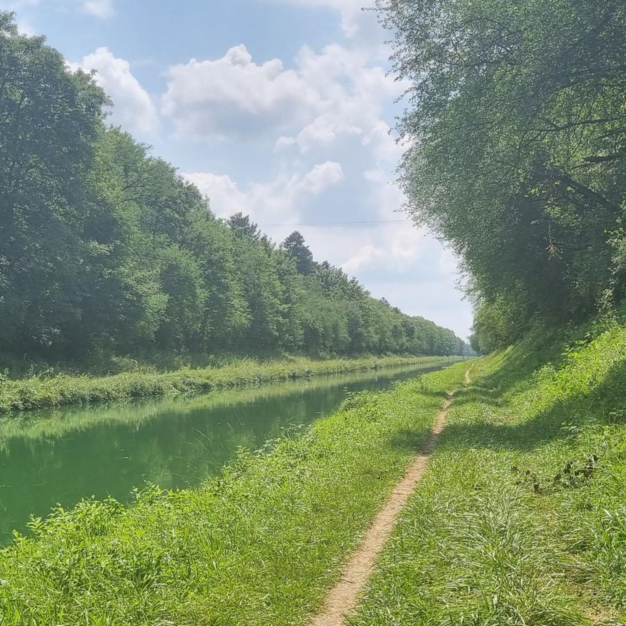
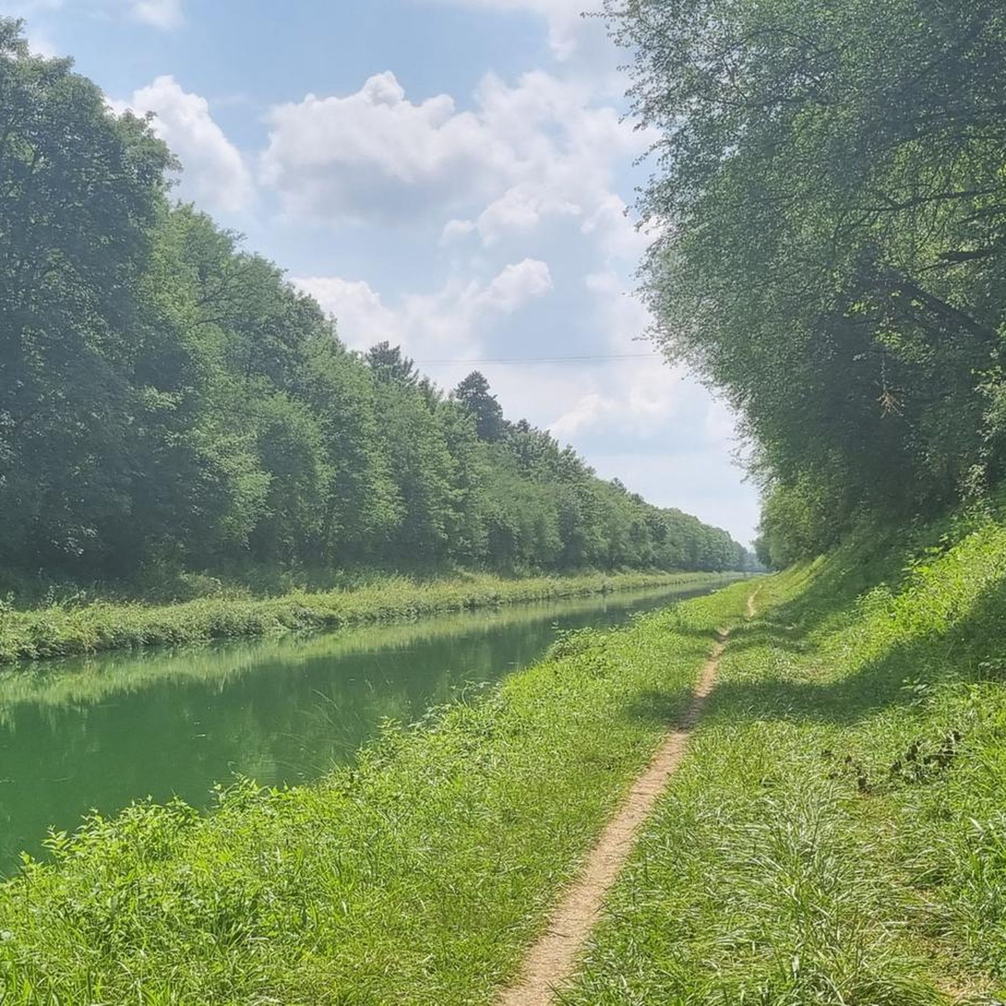
While staying on the asphalt, you can cover more than 24 km. From the St. Brice Courcelles side, you can go up to La Neuvillette, then to Courcy, it's an unpaved road (passable but not for road bikes). After Courcy, there's asphalt up to Berry au Ferry (this allows you to discover the Sapigneul Owl, about 150 m on dirt road). On the other side, after Sillery, you can continue to Beaumont (asphalt). Then, on a dirt road passable by mountain bike, you can go to the Billy Arch, where the canal passes through a tunnel.
0
0

The discovery was partially accidental - earlier column finds in 1840 during market hall construction had hinted at Roman remains, but no excavations were undertaken at that time, making the 1922 discovery all the more significant for understanding Reims' Roman heritage.
4
0
An underground U-shaped gallery that formed part of the northern section of the Roman forum around 100 AD, located beneath the current Forum Square in downtown Reims. This ancient structure features stone pillars with notches that once supported wooden frameworks dividing the space into compartments, with decorated stucco walls and a barrel-vaulted ceiling made of brick mortar. The gallery was discovered in 1922 during construction work and classified as a historical monument in 1923, though major restoration didn't occur until 1982 when it was finally opened to the public.
2
0
From its inauguration, residents criticized the fountain's weak water flow of only 12 liters per second, and the nude naiads representing the rivers caused public controversy. During World War II, German occupiers removed the bronze statue, but remarkably the fountain remained intact despite 60% of Reims being destroyed during the war.
4
3
Frequently Asked Questions
How many gravel bike trails are available in Caurel?
Caurel offers a good selection of gravel biking routes, with over 10 trails available. These routes cater to various skill levels, ensuring there's something for everyone.
What is the general difficulty level of gravel biking in Caurel?
The gravel biking trails in Caurel range from moderate to difficult. While there are a few easier options, the majority of routes provide a good challenge, often featuring varied terrain and some elevation changes.
What kind of terrain can I expect on Caurel's gravel bike trails?
You can expect a diverse mix of terrain. Caurel's routes often combine picturesque tow paths along the Blavet River with integrated greenways. You'll encounter both paved and unpaved segments, typical of the Argoat region's varied landscapes.
Are there any circular gravel bike routes in Caurel?
Yes, Caurel offers several circular routes. The region is known for loops like the 'Guerlédan Dam – Landroanec Beach loop' and the 'Bon-Repos Abbey – Saint-Gelven station loop', allowing you to start and finish at the same point.
What natural features or landmarks can I see while gravel biking in Caurel?
Caurel's gravel routes are rich in natural beauty and cultural heritage. You can expect scenic views along the Blavet River, and routes often pass by significant landmarks such as the Guerlédan Dam and the historic Bon-Repos Abbey.
Is Caurel suitable for family-friendly gravel biking?
Yes, Caurel has options suitable for families. The region's greenways and some of the tow paths offer dedicated, often traffic-free, and mostly paved surfaces, which can be ideal for a more relaxed family outing.
What do other gravel bikers enjoy most about Caurel?
The area is highly rated by the komoot community, with an average score of 4.6 stars from over 29 reviews. Riders often praise the diverse landscapes, the combination of natural beauty with cultural sites like Bon-Repos Abbey, and the well-maintained cycling networks.
When is the best time of year to go gravel biking in Caurel?
Brittany generally offers pleasant cycling conditions from spring through autumn. The varied terrain of Caurel can be enjoyed in milder weather, but always check local weather forecasts before heading out, especially for unpaved sections.
Are there any long-distance gravel cycling routes in Caurel?
While specific long-distance routes are not detailed, Caurel is integrated into regional and national cycling networks, including greenways. This connectivity allows for the potential to link multiple routes for longer rides, exploring the wider Argoat region.
Are there cafes or pubs near the gravel bike trails in Caurel?
The region of Caurel and surrounding towns in Brittany offer local amenities. While specific establishments along every trail aren't listed, you'll typically find cafes and pubs in nearby villages and towns, perfect for a refreshment stop.
What are the elevation gains like on Caurel's gravel trails?
Given the diverse terrain of the Argoat region, you can expect varied elevation gains. Some routes will be relatively flat, especially along river paths, while others, particularly those venturing into more undulating landscapes, will include more significant climbs and descents.
Can I access Caurel's gravel trails using public transport?
Access to rural areas like Caurel by public transport can be limited. It's advisable to research local bus or train services to nearby towns and then plan your route to the trailheads. Bringing your bike on public transport may also have restrictions.
Most popular attractions around Caurel

Get inspired with the komoot mobile app


Explore more
Browse the best Gravel rides in other regions.
