The best gravel rides around Sankt Quirin
4.7
(4)
58
riders
16
rides
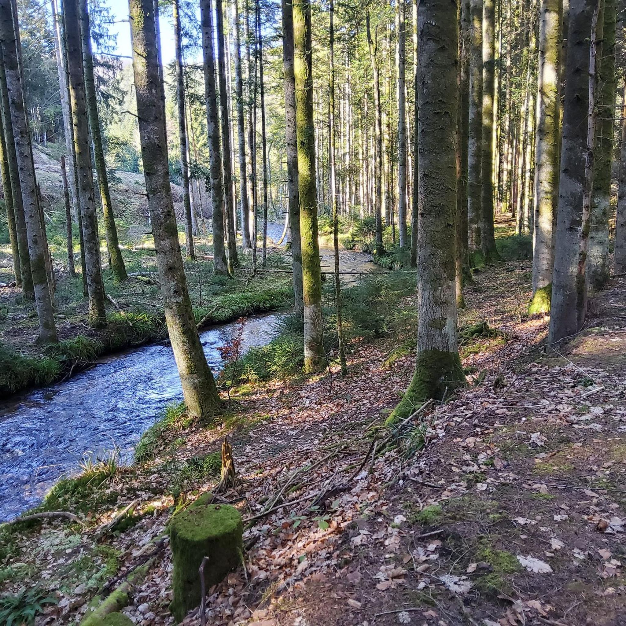
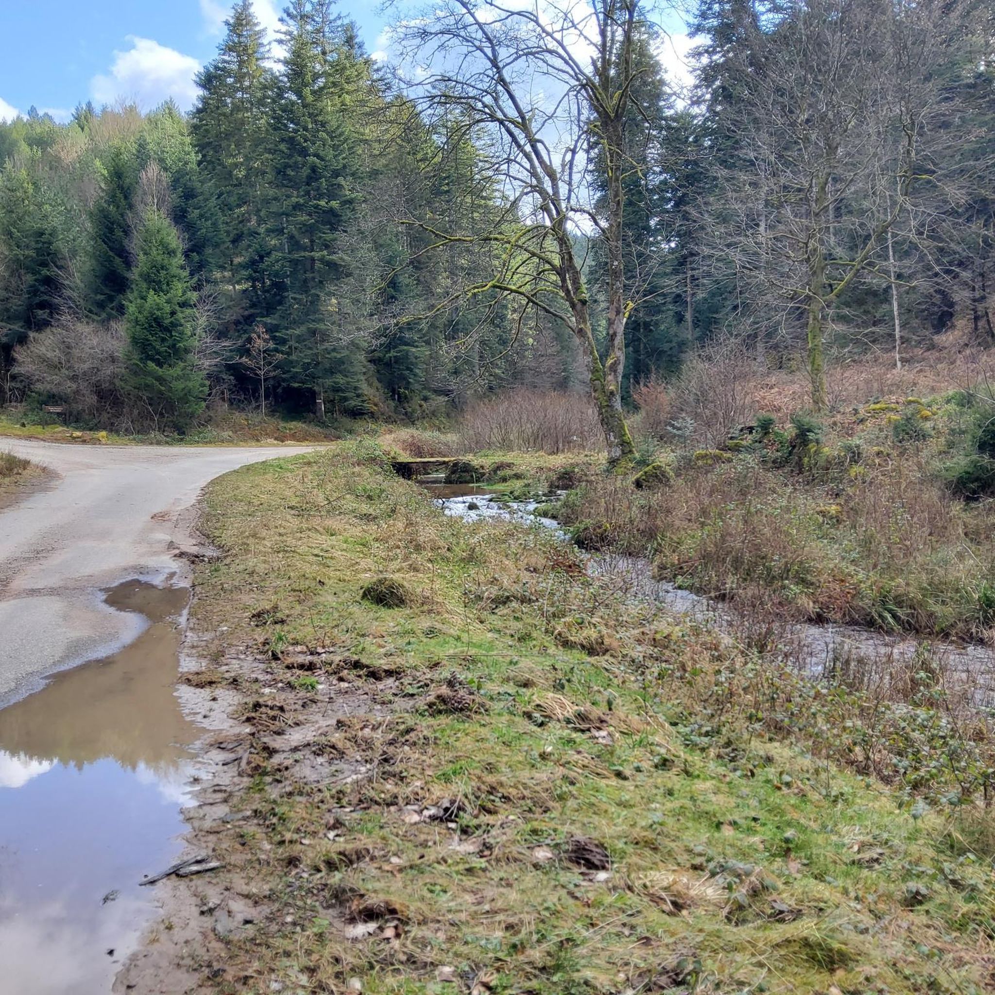
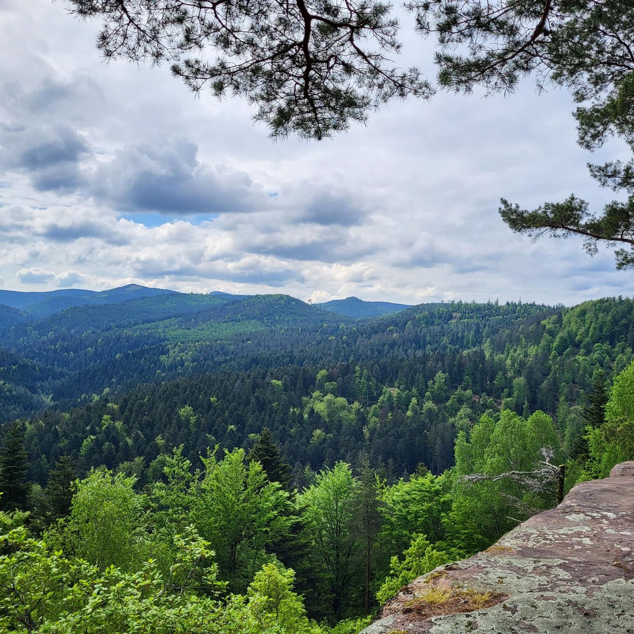
Gravel biking around Sankt Quirin offers a diverse landscape characterized by dense woodlands, rolling hills, and significant elevation changes. The region features a mix of forest paths and open terrain, providing varied surfaces for gravel cyclists. Many routes traverse areas with notable natural features and offer views of the surrounding countryside. The terrain often includes challenging climbs and descents, making it suitable for experienced riders.
Best gravel bike trails around Sankt Quirin
- The most popular gravel bike trail is Abreschviller,…
Last updated: August 27, 2026
13
riders
80.9km
06:51
1,770m
1,770m
Hard gravel ride. Very good fitness required. Mostly paved surfaces. Suitable for all skill levels.
5.0
(1)
13
riders
30.8km
01:54
380m
380m
Moderate gravel ride. Good fitness required. Mostly paved surfaces. Suitable for all skill levels.

Sign up for free
10
riders
52.7km
04:33
1,170m
1,170m
Hard gravel ride. Very good fitness required. Mostly paved surfaces. Suitable for all skill levels.
4.0
(2)
7
riders
43.0km
03:45
1,070m
1,070m
Hard gravel ride. Very good fitness required. Mostly paved surfaces. Suitable for all skill levels.
4.0
(1)
4
riders
37.6km
03:20
980m
980m
Hard gravel ride. Very good fitness required. You may need to push your bike for some segments of this route.
Get access to more routes and recommendations from other explorers.
Sign up for free
Already have an account?
Our route recommendations are based on thousands of hikes, rides, and runs completed by other people on komoot.
Start today with a free account
Your next adventure awaits.
Login or Signup
Tips from the Community

Very good place to stop for refreshments!
0
0

The visit of the little train is worth the detour!
0
0

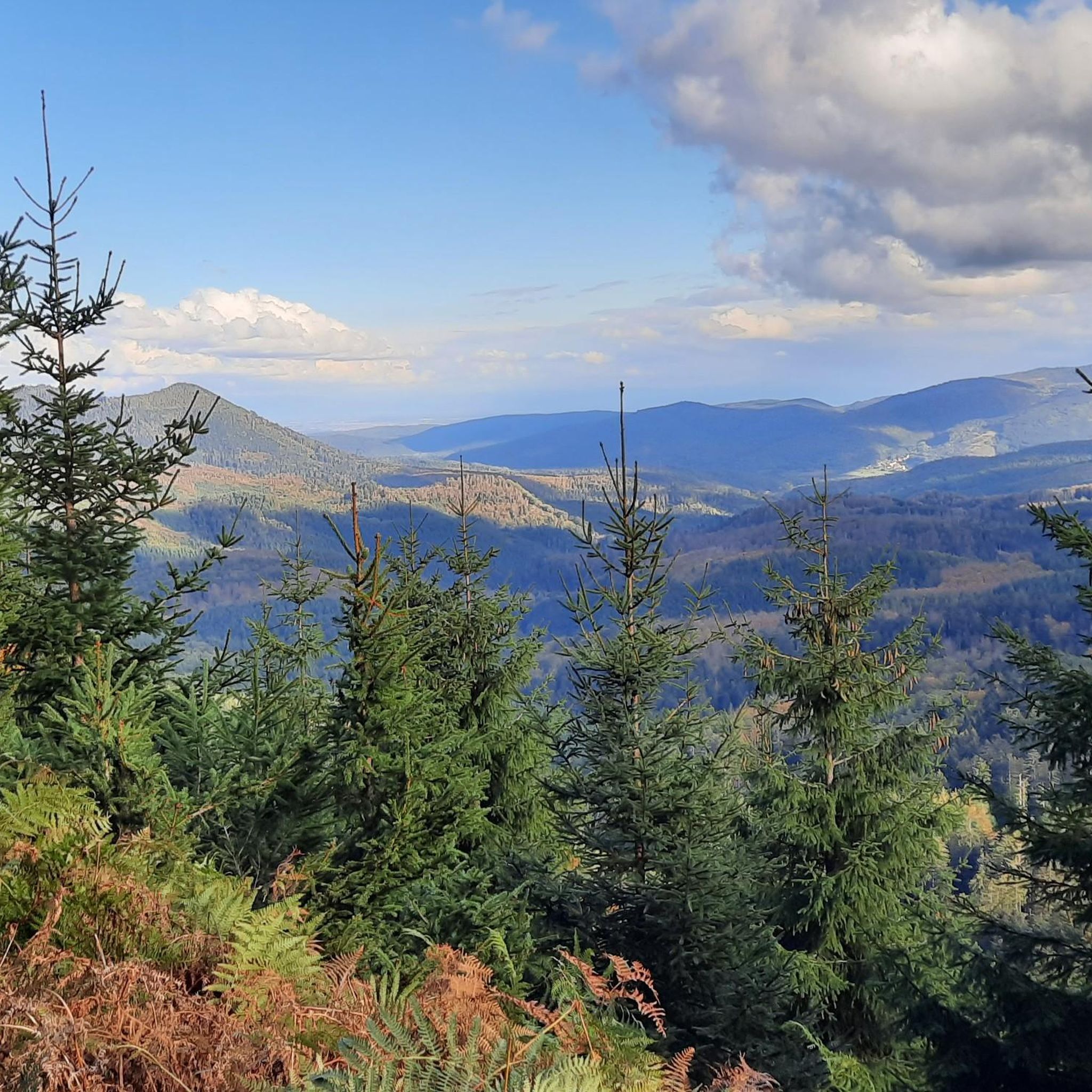
Champ du Feu, at 1099 meters, is the highest mountain in the Bas-Rhin department of the Vosges in Alsace. It lies between the towns of Belmont and Le Hohwald and consists of an extensive high plateau with forests, meadows, and moorlands. The area is a popular nature and recreational area. In summer, it is mainly used for hiking, mountain biking, and nature observation. In winter, there is a small ski area with cross-country trails and simple slopes for winter sports. The brook La Serva originates from Champ du Feu, later forming the Cascade de la Serva. In clear weather, the summit offers wide views over the Vosges, the Rhine plain, and as far as the Black Forest. The area is particularly known for its tranquil nature, high moors, sunrises and starry skies, as well as well-marked hiking trails.
0
0


Especially in the southeast of the park you can enjoy cycling.
0
0

Beautiful hiking destination, there is also a cycling route
0
0

Shelter of the Vosges Club Pays de Dabo from 2018
1
0
Secret meeting place of François Mitterrand and Helmut Kohl in 1984
0
0
Frequently Asked Questions
What is the general difficulty level of gravel bike trails around Sankt Quirin?
The gravel biking trails around Sankt Quirin are predominantly challenging. Out of 14 available routes, 11 are classified as difficult, and 3 are moderate. The region is characterized by dense woodlands, significant elevation changes, and varied terrain, often including demanding climbs and descents. This makes it particularly suitable for experienced riders seeking a robust challenge.
Are there any long-distance gravel bike routes in the Sankt Quirin area?
Yes, Sankt Quirin offers several long-distance gravel bike routes. One notable option is the Abreschviller, a pretty village – Hengst Pass and Dabo loop from Abreschviller, which spans over 80 kilometers (50 miles) and features significant elevation gain, taking approximately 8 hours to complete.
Where can I find parking for gravel biking near Sankt Quirin?
While specific parking locations for each route are not always detailed, many gravel bike trails in the Sankt Quirin area, especially those starting from villages like Abreschviller or Bertrambois, typically have public parking available near the trailheads or in the village centers. It's advisable to check local signage upon arrival.
Is it possible to access gravel bike trails around Sankt Quirin using public transport?
Public transport options to access specific trailheads in the Sankt Quirin region can be limited, as many routes venture into more remote, forested areas. However, some routes may be accessible from larger towns or villages that have bus or train connections. We recommend checking local public transport schedules for connections to starting points like Abreschviller Station.
Are there family-friendly gravel bike trails suitable for all ages around Sankt Quirin?
The gravel bike trails around Sankt Quirin are generally quite demanding, with a majority classified as difficult and the remainder as moderate. The terrain often involves significant climbs and descents, making it less ideal for very young children or beginners. Riders should be prepared for a challenging experience.
Are dogs allowed on the gravel bike routes in Sankt Quirin?
Generally, dogs are welcome on trails in the Sankt Quirin region, especially in natural and forested areas. However, it's always best to keep your dog on a leash, particularly in areas with wildlife or near livestock, and to check for any specific local regulations or signage along the routes. Always carry water for your dog and clean up after them.
What is the best time of year for gravel biking in Sankt Quirin?
The best time for gravel biking in Sankt Quirin is typically from spring through autumn (April to October). During these months, the weather is generally milder, and the trails are less likely to be affected by snow or ice, which can make the challenging terrain even more difficult. Summer offers lush greenery, while autumn provides beautiful foliage.
What kind of views or natural landmarks can I expect on the gravel bike routes?
The gravel bike routes in Sankt Quirin offer diverse natural scenery, including dense woodlands, rolling hills, and varied landscapes. You might encounter notable natural features like the Hengst Pass or the Fairy Rock. The region also features interesting highlights such as the Falkenfels Cliffs or the Geisterfelsen, offering unique geological formations and viewpoints.
What do other gravel bikers enjoy most about gravel biking in Sankt Quirin?
The komoot community highly rates the gravel biking experience in Sankt Quirin, with an average score of 4.8 stars from over 9 reviews. Riders often praise the challenging terrain, the diverse landscapes ranging from dense forests to open countryside, and the significant elevation changes that make for a rewarding ride. The well-maintained paths and the sense of adventure are frequently highlighted.
Are there any circular gravel bike trails available in Sankt Quirin?
Yes, many of the gravel bike routes in Sankt Quirin are designed as circular trails, allowing you to start and end at the same point. An example is the Center Park The Three Forests – Fairy Rock loop from Bertrambois, a moderate 31.6 km (19.6 miles) route that takes you through forested areas and past the notable Fairy Rock.
Are there any moderate gravel bike trails for those looking for a less intense ride?
While most trails are difficult, there are a few moderate options available. For instance, the Abreschviller Station 🚂 – Abreschviller, a pretty village loop from Abreschviller is a 44.5 km (27.6 miles) trail that offers a moderate challenge through forested and village landscapes, typically completed in under 5 hours.
What kind of facilities or points of interest can be found along the trails?
Along the gravel bike trails in Sankt Quirin, you might encounter various points of interest. These can include shelters and huts like the Schubert Stone and Shelter at Col Entre les Deux Donons or the Colbéry shelter, which can be useful for breaks. Some routes also pass through charming villages where you might find cafes or small shops.
Most popular routes around Sankt Quirin
Most popular attractions around Sankt Quirin

Get inspired with the komoot mobile app


Explore more
Browse the best Gravel rides in other regions.
