The best gravel rides around Remelfangen
3.0
(1)
29
riders
3
rides
Gravel bike trails around Remelfangen are situated within a region characterized by rolling hills, extensive vineyards, and the picturesque Rems Valley. The terrain offers diverse options, ranging from moderate to difficult, with routes that may include significant elevation gains. Cyclists can expect paths traversing vineyards, following the Rems River, and leading through orchards, forests, and meadows. This area provides a varied landscape for gravel biking, often requiring good fitness levels.
Best gravel bike trails around Remelfangen
- The most popular gravel…
Last updated: August 27, 2026
11
riders
54.7km
04:02
450m
450m
Moderate gravel ride. Good fitness required. Mostly paved surfaces. Suitable for all skill levels.
7
riders
45.7km
03:01
480m
480m
Hard gravel ride. Very good fitness required. Mostly paved surfaces. Suitable for all skill levels.

Sign up for free
3.0
(1)
4
riders
14.8km
01:02
210m
210m
Moderate gravel ride. Good fitness required. Mostly paved surfaces. Suitable for all skill levels.
2
riders
Moderate gravel ride. Good fitness required. Mostly paved surfaces. Suitable for all skill levels.
1
riders
Moderate gravel ride. Good fitness required. Mostly paved surfaces. Suitable for all skill levels.
Our route recommendations are based on thousands of hikes, rides, and runs completed by other people on komoot.
Start today with a free account
Your next adventure awaits.
Login or Signup

Tips from the Community


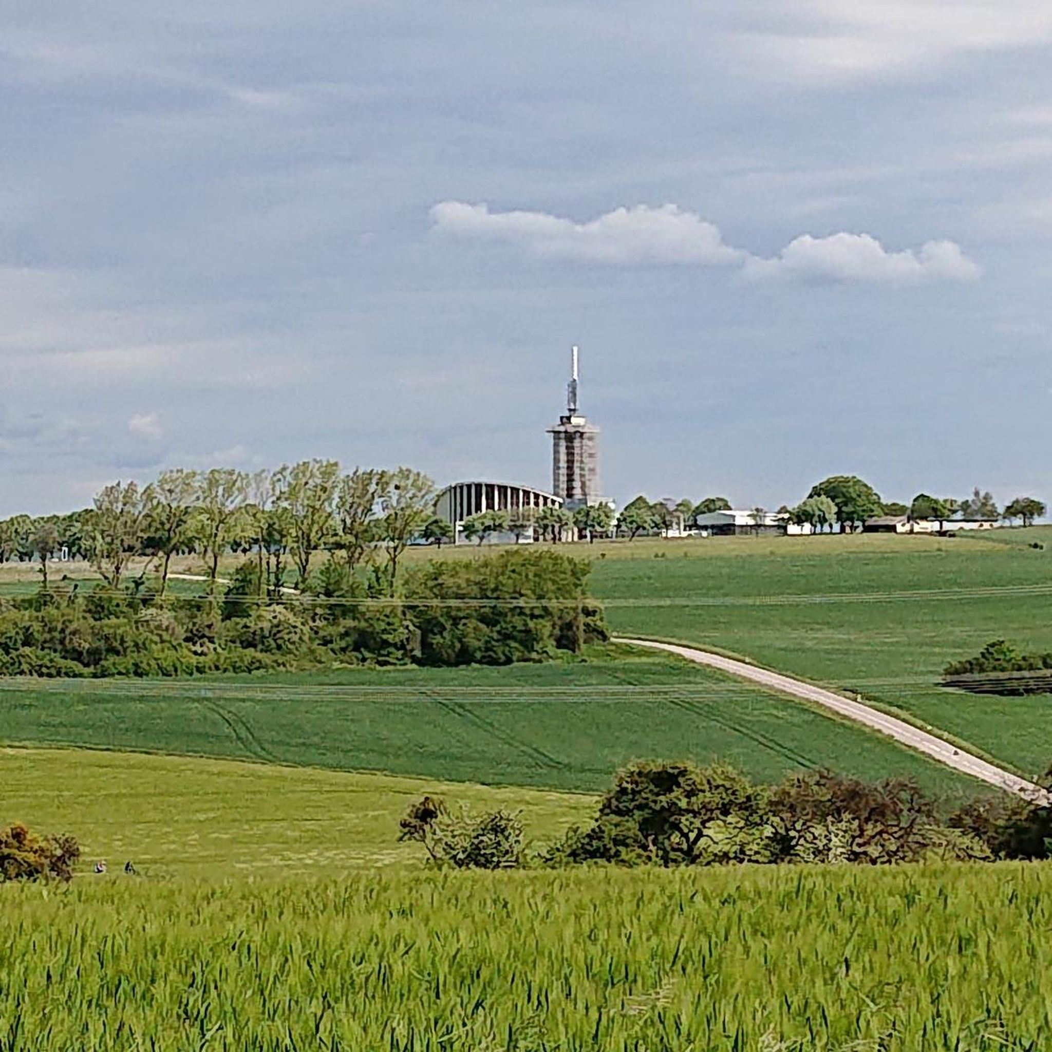
A popular vantage point and landmark of the municipality of Überherrn is the monument 'For the Great Europeans'
1
0

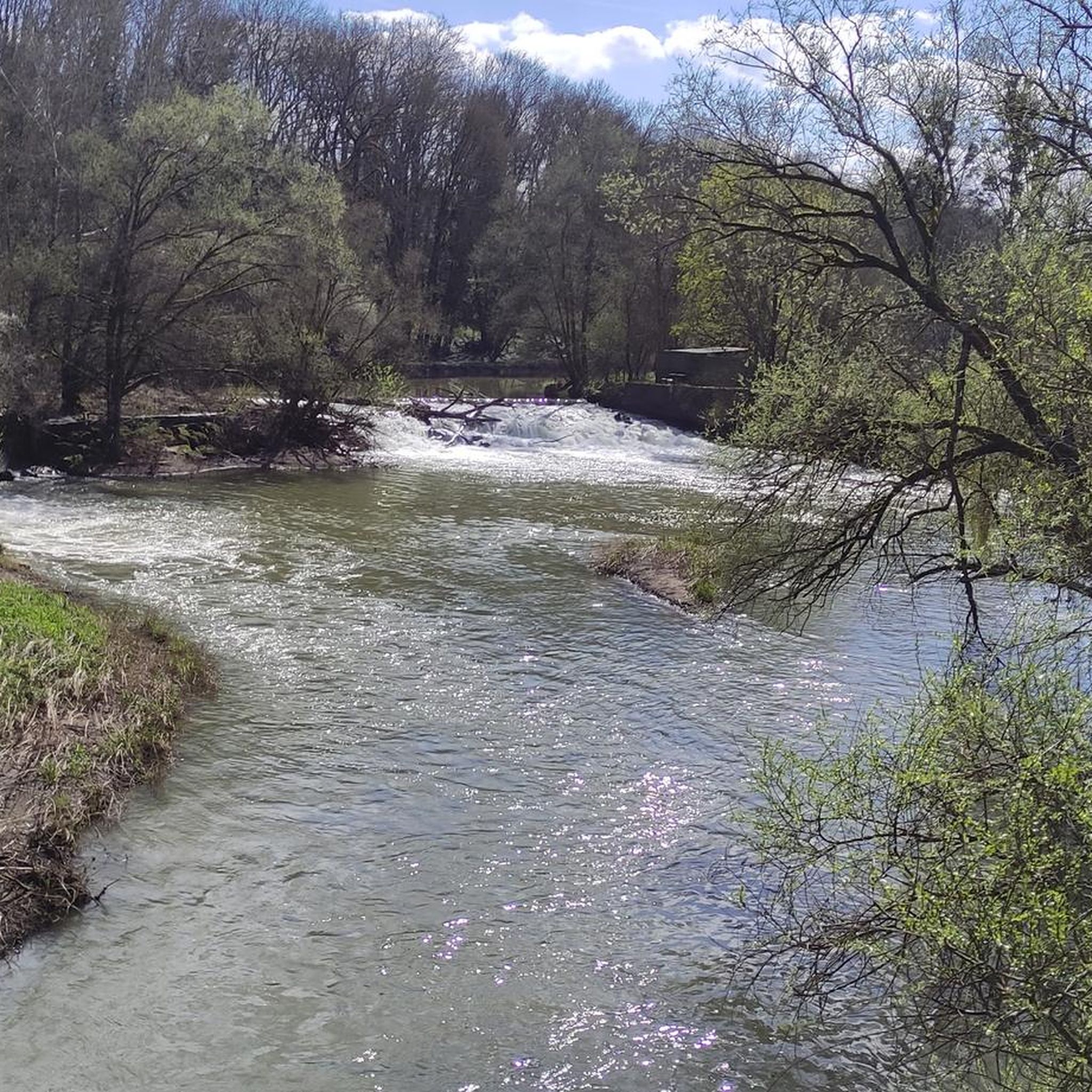
The Bisten is a charming river that widens at this point to offer a beautiful view of a body of water in the middle of the woods.
0
0

Inaugurated in May 1970, this monument is intended to "express the European-democratic attitude of the border population on both sides of the border." The two pylons represent the countries of Germany and France, which have been at war with each other for centuries. The metal bars in the upper area symbolize the friendship that developed after the Second World War.
0
0

Lots of nettles and thorns, but still OK
1
0

We asked ourselves what that was😀
2
0

A popular viewing point and at the same time a landmark of the municipality of Überherrn is the monument 'For the Great Europeans' (in short: Europe Monument) in Berus. In 1970 it was erected here on one of the highest points in the entire region on the initiative of the former Saarland Finance Minister and Überherrn citizen Helmut Bulle by the 'Association for the Erection of a Monument for the Great Europeans' as a symbol of German-French reconciliation. On July 2, 1966, former Chancellor Konrad Adenauer broke ground. The monument with a memorial plaque for the statesmen Konrad Adenauer, Robert Schuman and Alcide de Gasperi was unveiled in May 1970. Helmut Bulle, Josef Besch and Paul Henri Spaak are other personalities who have been honored with a plaque. The wide view over the valleys and forests of Lorraine and the wonderful view over the Saar valley invite you to admire the border region ‘at a glance’.🚵♂️🌄
1
0
Frequently Asked Questions
How many gravel bike trails are available around Remelfangen?
There are currently 4 gravel bike trails available around Remelfangen, offering a mix of moderate and difficult options for various skill levels.
What kind of terrain can I expect on gravel bike trails near Remelfangen?
The terrain around Remelfangen features rolling hills, extensive vineyards, and the picturesque Rems Valley. You'll encounter paths traversing vineyards, following the Rems River, and leading through orchards, forests, and meadows. Some routes involve significant elevation gains, requiring good fitness.
Are there any challenging gravel bike routes for experienced riders?
Yes, for experienced riders seeking a challenge, routes like the Bunker Trail – Warndtweiher loop from Vœlfling-lès-Bouzonville are available. This difficult 45.7 km trail features notable elevation changes and varied surfaces, taking approximately 3 hours to complete.
Are there any moderate gravel bike routes suitable for a less intense ride?
Absolutely. You can enjoy moderate routes such as the St. Oranna Pilgrimage Chapel – Europe Monument, Berus loop from Villing. This 14.8 km path offers scenic views and can be completed in about 1 hour and 2 minutes.
Are there any circular gravel bike routes around Remelfangen?
Yes, all the gravel bike routes listed for Remelfangen are circular. For example, the Europasender Felsberg-Berus – St. Oranna Pilgrimage Chapel loop from Vœlfling-lès-Bouzonville is a 31.5 km circular trail leading through varied landscapes.
What natural attractions or viewpoints can I find along the gravel routes?
While riding, you can discover natural features like the Ihner Bach. For scenic views, consider visiting the Hirnberg Observation Tower, which offers panoramic vistas of the surrounding landscape.
Are there any historical sites or landmarks to explore near the trails?
Yes, the region offers several historical points of interest. You might encounter the Gallo-Roman Spring Sanctuary Sudelfels or the Celtic Burial Mound in Saar-Hunsrück Nature Park. The Celtic Farmstead Reconstruction is also a notable site.
What is the typical duration for a gravel bike ride in this area?
The duration varies depending on the route's length and difficulty. Moderate routes like the St. Oranna Pilgrimage Chapel – Europe Monument, Berus loop from Villing can take just over an hour, while more challenging ones, such as the Bunker Trail – Warndtweiher loop from Vœlfling-lès-Bouzonville, can take around 3 hours.
Are there any routes that pass by lakes or water features?
Yes, some routes offer views of water features. For instance, the Europe Monument, Berus – Lake Bisten loop from Berviller-en-Moselle passes by Lake Bisten. Additionally, the ASV Ihn-Leidingen Pond Recreation Area is nearby.
What do other gravel bikers say about the trails in Remelfangen?
The gravel bike trails around Remelfangen are rated by the komoot community with an average score of 3.0 stars. Riders appreciate the varied terrain, which includes rolling hills, vineyards, and river valleys, offering options for different ability levels.
What is the best time of year for gravel biking in the Remelfangen area?
The Rems-Murr-Kreis, where Remelfangen is located, offers beautiful scenery throughout the warmer months. Spring and autumn are particularly pleasant for gravel biking, with comfortable temperatures and vibrant landscapes through the vineyards and Rems Valley. Summer is also suitable, but be prepared for potentially warmer weather.
Most popular routes around Remelfangen
Most popular attractions around Remelfangen

Get inspired with the komoot mobile app


Explore more
Browse the best Gravel rides in other regions.
