The best gravel rides around Saint-Alyre-Ès-Montagne
4.6
(7)
84
riders
11
rides
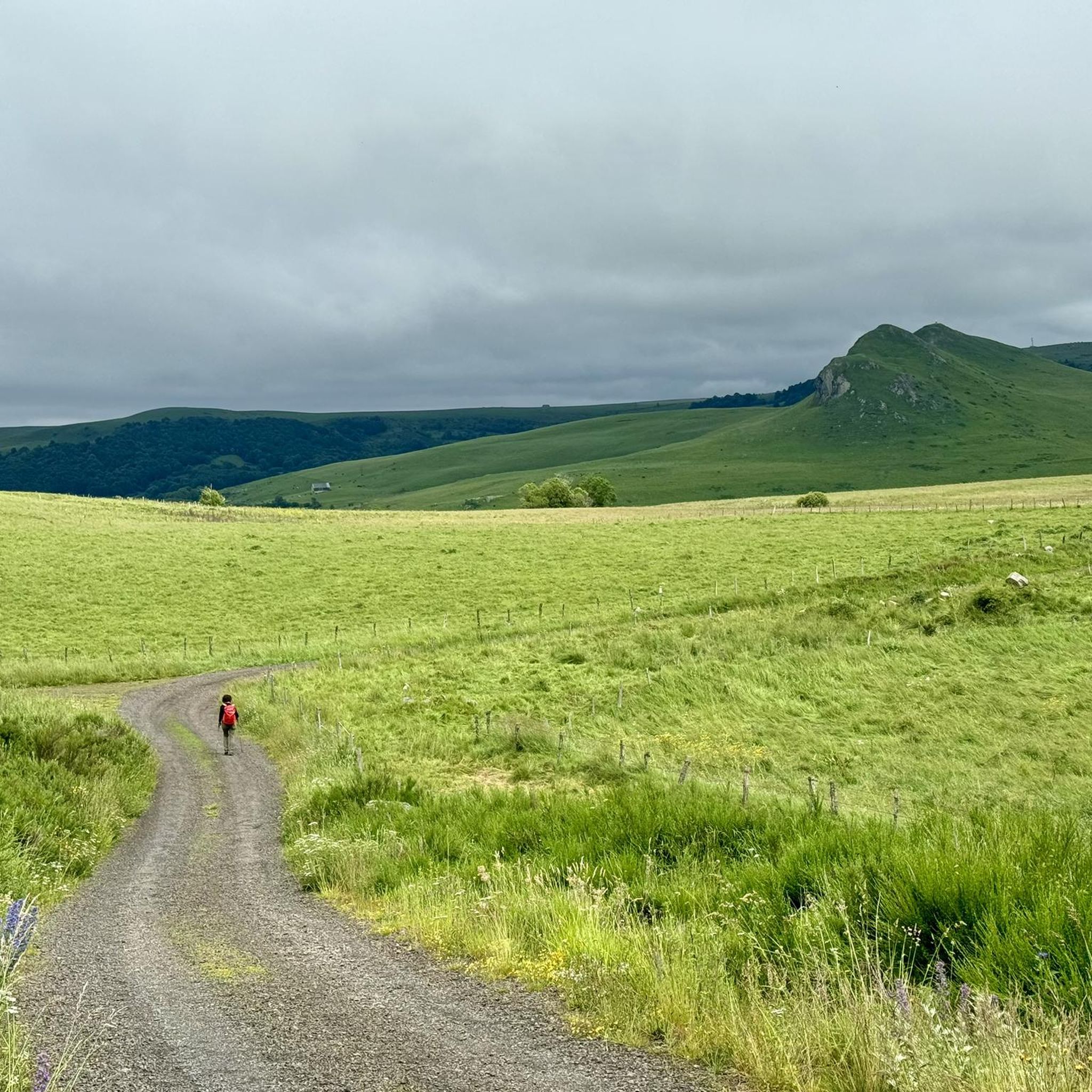
Gravel biking around Saint-Alyre-Ès-Montagne offers routes through the diverse and unspoiled natural landscapes of the Cézallier massif and the Natural Regional Park of the Volcanoes of Auvergne. The terrain is characterized by a volcanic and mountainous massif with rolling, verdant hills, often exceeding 1,400 meters in elevation. The region features several lakes, including Lake Bourdouze and Lac Saint-Alyre, alongside protected peat bogs and the Saillant Waterfall. These physical features provide varied conditions for gravel biking.
Best gravel bike trails around…
Last updated: November 2, 2026
4.5
(2)
16
riders
61.4km
04:13
1,140m
1,150m
Hard gravel ride. Very good fitness required. Mostly paved surfaces.
32
riders
87.9km
06:14
1,790m
1,790m
Hard gravel ride. Very good fitness required. Mostly paved surfaces.

5.0
(1)
10
riders
57.8km
04:04
1,090m
1,090m
Hard gravel ride. Very good fitness required. Mostly paved surfaces.
5.0
(1)
7
riders
123km
08:29
2,350m
2,350m
Hard gravel ride. Very good fitness required. Mostly paved surfaces.
3.0
(1)
3
riders
27.9km
01:55
460m
460m
Hard gravel ride. Very good fitness required. Mostly paved surfaces.
Get access to more routes and recommendations from other explorers.
Already have an account?
Our route recommendations are based on thousands of hikes, rides, and runs completed by other people on komoot.
Start today with a free account
Your next adventure awaits.
Popular around Saint-Alyre-Ès-Montagne
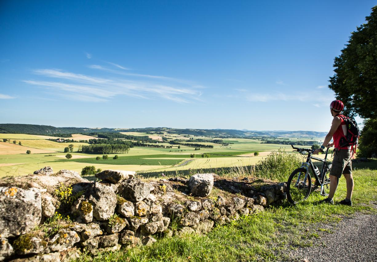
The Grande traversée du Massif Central by gravel bike
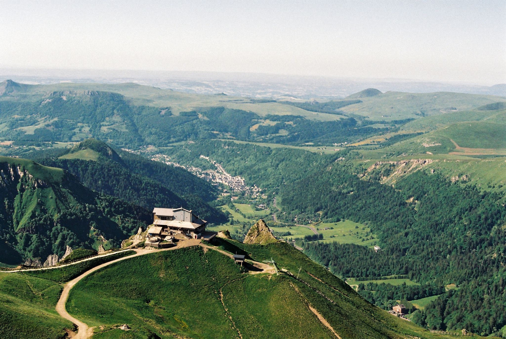
Crossing the volcanoes of Auvergne – Stromboliens, peléens and maars
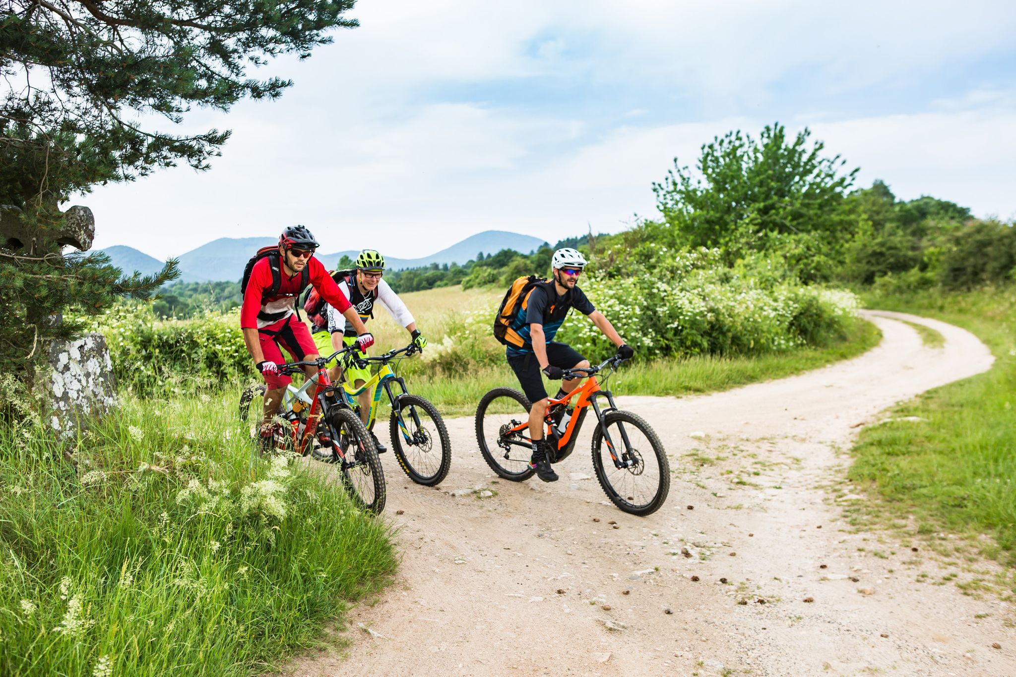
Conquering the trails – Auvergne by MTB
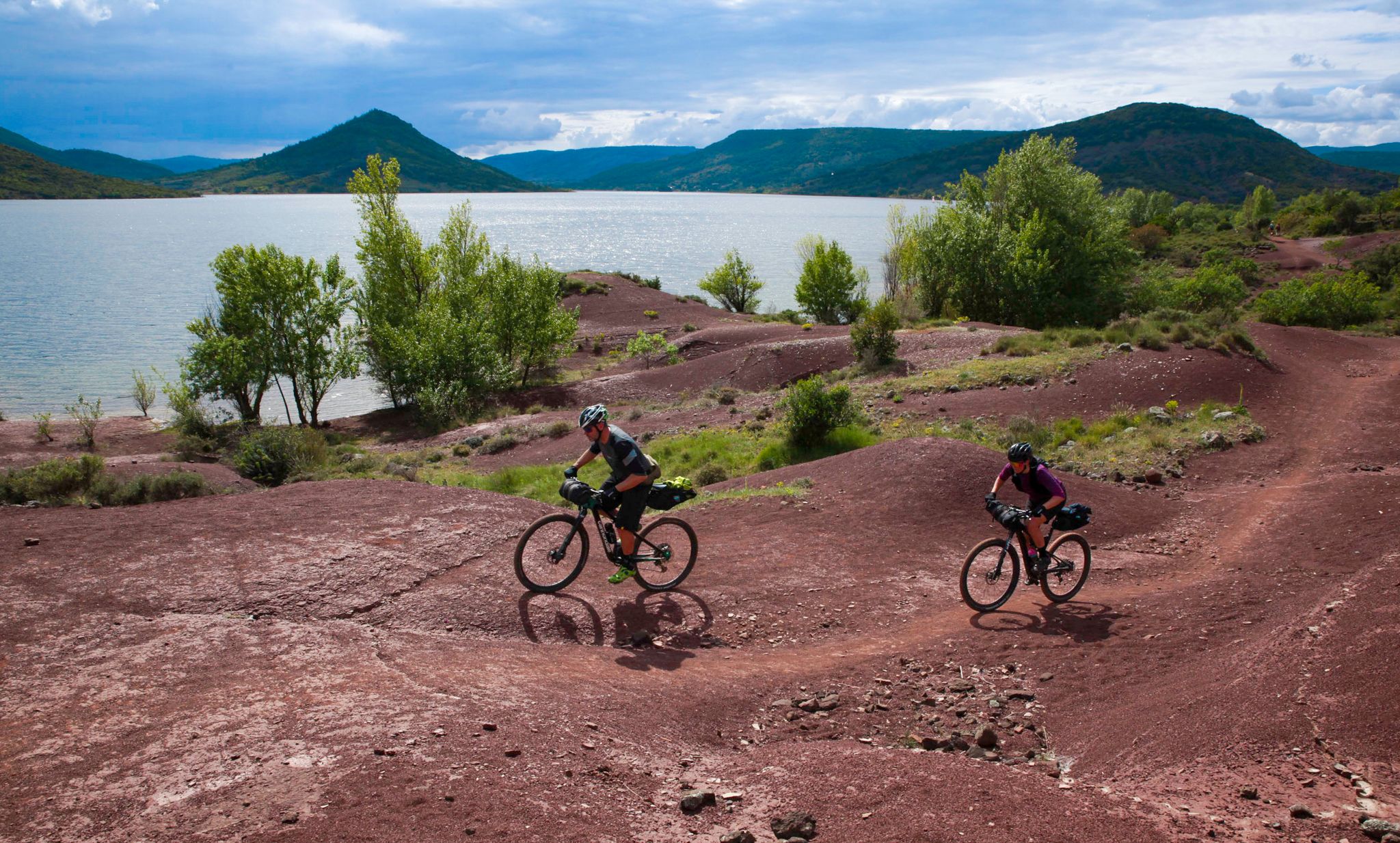
The Great Crossing of France's Massif Central by mountain bike
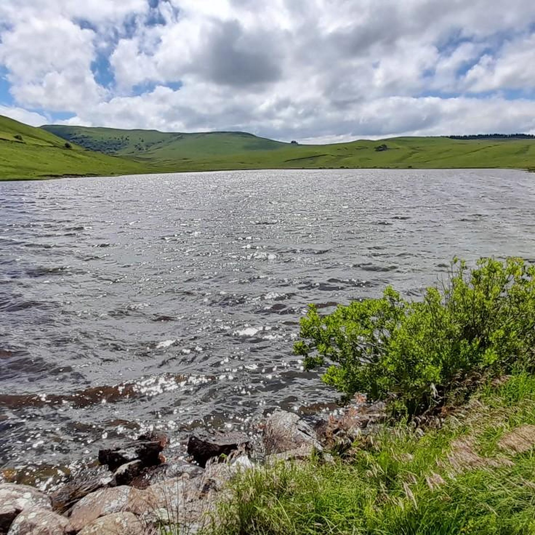
Road Cycling Routes around Saint-Alyre-Ès-Montagne
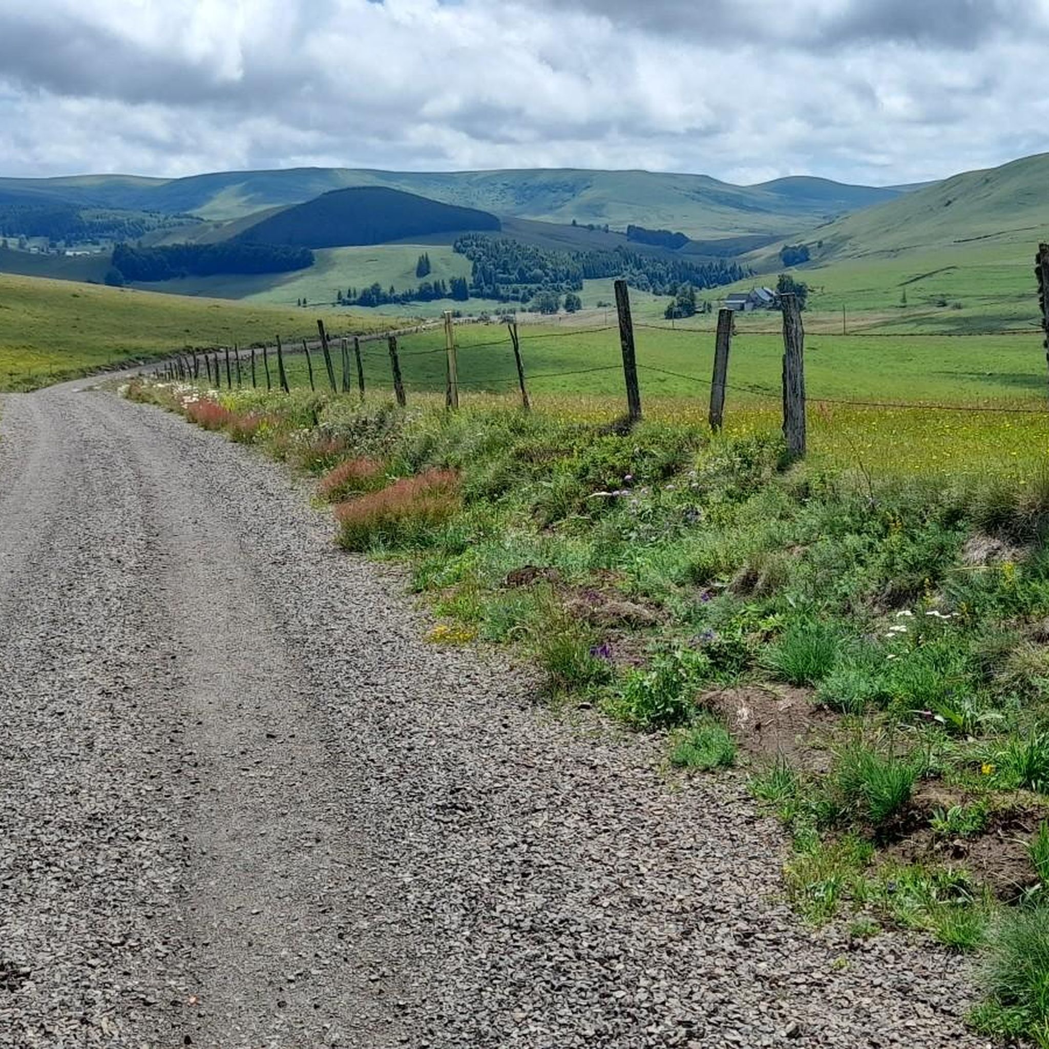
Hiking around Saint-Alyre-Ès-Montagne
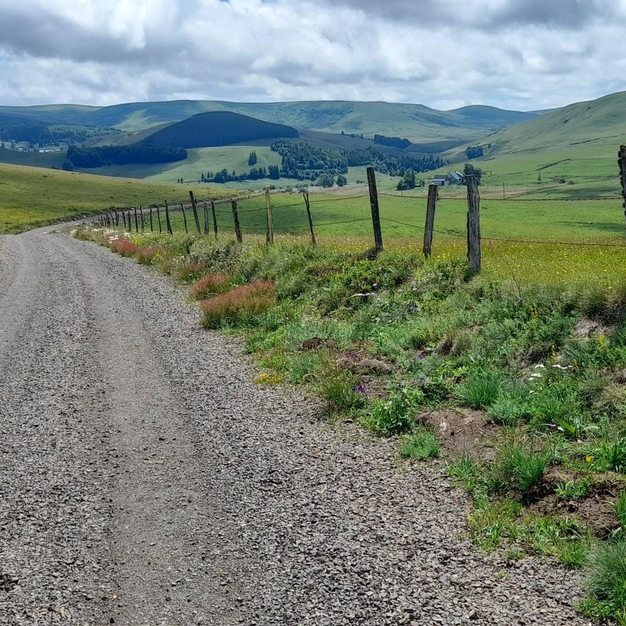
MTB Trails around Saint-Alyre-Ès-Montagne
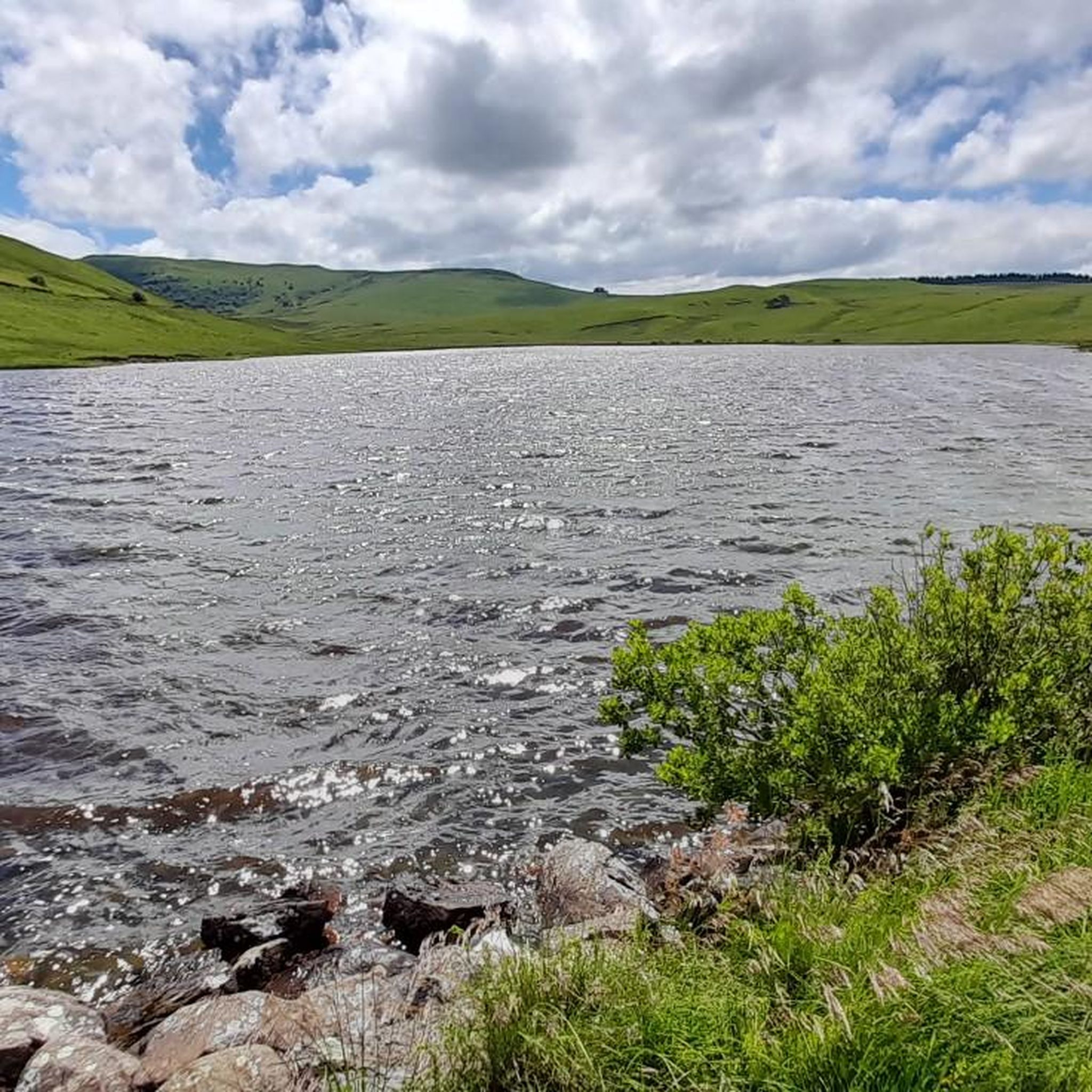
Cycling around Saint-Alyre-Ès-Montagne
Running Trails around Saint-Alyre-Ès-Montagne
Other adventures around Saint-Alyre-Ès-Montagne


Tips from the Community

Very beautiful route The Volcanoes
0
0

The view is magnificent and the path is smooth.
0
0

Not too difficult, I did it on a mountain bike.
0
0


Superb climb on gravel path. Nestled in the middle of green expanses, this path offers a breathtaking panorama!
0
0
Frequently Asked Questions
How many gravel bike trails are available around Saint-Alyre-ès-Montagne?
There are 16 gravel bike routes in the Saint-Alyre-ès-Montagne region. These routes primarily cater to experienced riders, with 5 classified as moderate and 11 as difficult, offering diverse challenges through the volcanic and mountainous terrain.
What kind of terrain can I expect on gravel bike trails in Saint-Alyre-ès-Montagne?
The terrain around Saint-Alyre-ès-Montagne is characterized by a volcanic and mountainous massif with rolling, verdant hills, often exceeding 1,400 meters in elevation. You'll encounter a mix of well-maintained tracks and country roads, providing varied conditions and magnificent views within the Cézallier massif and the Natural Regional Park of the Volcanoes of Auvergne.
Are there any long-distance gravel biking routes in the area?
Yes, the region is part of "La Grande traversée du Massif Central en gravel." For a significant challenge, consider the La Godivelle – Chamaroux Pass loop from La Godivelle, which spans 98.9 km and typically takes over 9 hours to complete, leading through high-altitude terrain.
What natural features or landmarks can I see along the gravel bike trails?
The trails offer access to stunning natural features. You can explore areas around volcanic lakes like La Godivelle and Lake Bourdouze, as well as protected peat bogs. The Saillant Waterfall, a magnificent 20-meter cascade, is another prominent natural attraction in the heart of the Cézalliers mountains. Additionally, you'll find several mountain passes such as Col de Chamaroux and Volpilière Pass offering panoramic views.
Are there any circular gravel routes available?
Yes, many routes are designed as loops. For instance, the Fortunier Pass – Montée Paillasseyre loop from Pradiers is a popular 63.8 km circular route, and the La Godivelle – La Godivelle loop from La Godivelle offers a 68.1 km exploration around the village and its lakes.
What is the difficulty level of gravel biking in Saint-Alyre-ès-Montagne?
Gravel biking in Saint-Alyre-ès-Montagne is generally challenging. Most routes are rated as difficult, with significant elevation gains through the mountainous landscape. There are also a few moderate options, but no easy trails are listed, making it more suitable for experienced gravel bikers.
What do other gravel bikers say about the routes in Saint-Alyre-ès-Montagne?
The routes in Saint-Alyre-ès-Montagne are highly rated by the komoot community, with an average score of 4.0 stars. Over 40 gravel bikers have used komoot to explore the varied terrain, often praising the immersive experience in the changing landscapes and the pure, wild beauty of the Cézallier massif.
Can I find routes that pass through charming villages?
Yes, some routes, like the La Godivelle – La Godivelle loop from La Godivelle, explore the area around La Godivelle, an isolated village known for preserving its character and offering cultural insights alongside its natural beauty.
Are there any shorter, challenging gravel routes for a quicker ride?
If you're looking for a shorter but still difficult ride, the La Godivelle – Chamaroux Pass loop from La Godivelle is a 32.7 km route that can be completed in under 3 hours, offering a concentrated experience of the region's challenging terrain.
What are the highest points reached on these gravel trails?
The region is known for its significant altitudes, with many areas exceeding 1,400 meters. Routes often traverse mountain passes such as Col de Vestizoux (1317 m) and Col de Montgreleix (1238 m), providing extensive climbs and rewarding views.
Is Saint-Alyre-ès-Montagne suitable for gravel biking as part of a larger tour?
Absolutely. Saint-Alyre-ès-Montagne is strategically located within the Cézallier massif and the Natural Regional Park of the Volcanoes of Auvergne, making it an excellent base or a key segment for longer gravel biking adventures, including sections of "La Grande traversée du Massif Central en gravel."
Most popular routes around Saint-Alyre-Ès-Montagne
Most popular attractions around Saint-Alyre-Ès-Montagne

Get inspired with the komoot mobile app


Explore more
Browse the best Gravel rides in other regions.
