The best gravel rides around Leyweiler
4.5
(2)
62
riders
25
rides
Gravel biking around Leyweiler offers a network of routes traversing a landscape characterized by rolling terrain and a mix of rural paths and tracks. The region features several ponds and former industrial areas, providing varied scenery for cyclists. Elevation changes are present, with some routes including significant climbs and descents.
Best gravel bike trails around Leyweiler
- The most popular gravel bike trail is Sarralbe Town Centre – Étang d hirchbach loop from Farschviller, a 52.7 miles (84.8 km) trail…
Last updated: August 27, 2026
14
riders
84.9km
05:31
690m
690m
Hard gravel ride. Very good fitness required. Mostly paved surfaces. Suitable for all skill levels.
4.0
(1)
12
riders
56.3km
03:27
450m
450m
Moderate gravel ride. Good fitness required. Mostly paved surfaces. Suitable for all skill levels.

Sign up for free
8
riders
46.7km
02:57
390m
390m
Moderate gravel ride. Good fitness required. Mostly paved surfaces. Suitable for all skill levels.
5.0
(1)
4
riders
32.5km
02:21
280m
280m
Moderate gravel ride. Good fitness required. Mostly paved surfaces. Suitable for all skill levels.
6
riders
65.1km
04:38
570m
570m
Hard gravel ride. Very good fitness required. You may need to push your bike for some segments of this route.
Get access to more routes and recommendations from other explorers.
Sign up for free
Already have an account?
Our route recommendations are based on thousands of hikes, rides, and runs completed by other people on komoot.
Start today with a free account
Your next adventure awaits.
Login or Signup


Tips from the Community

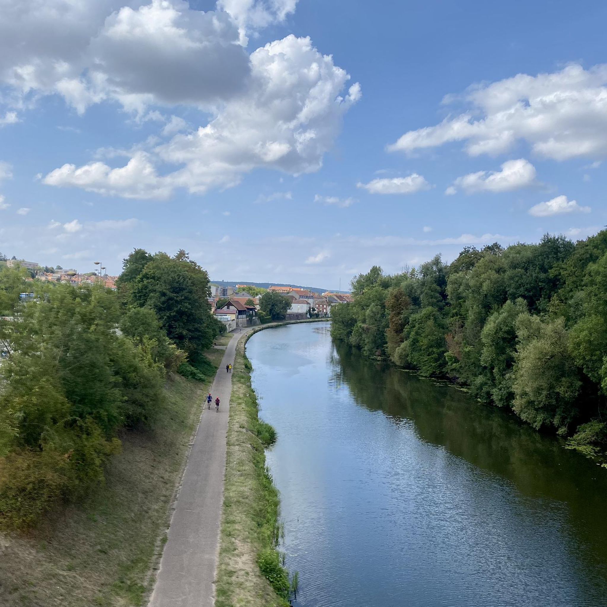
Here the canal was led across a river by means of a bridge
0
0

Viewpoint from one of the many bunkers along the Marginot Line. On a clear day, the view from here is fantastic, stretching all the way to the nearby Vosges Mountains. Even the Donon and Dabo peaks are easily visible to the naked eye. This shady spot with its bench is also perfect for a short break.
0
0

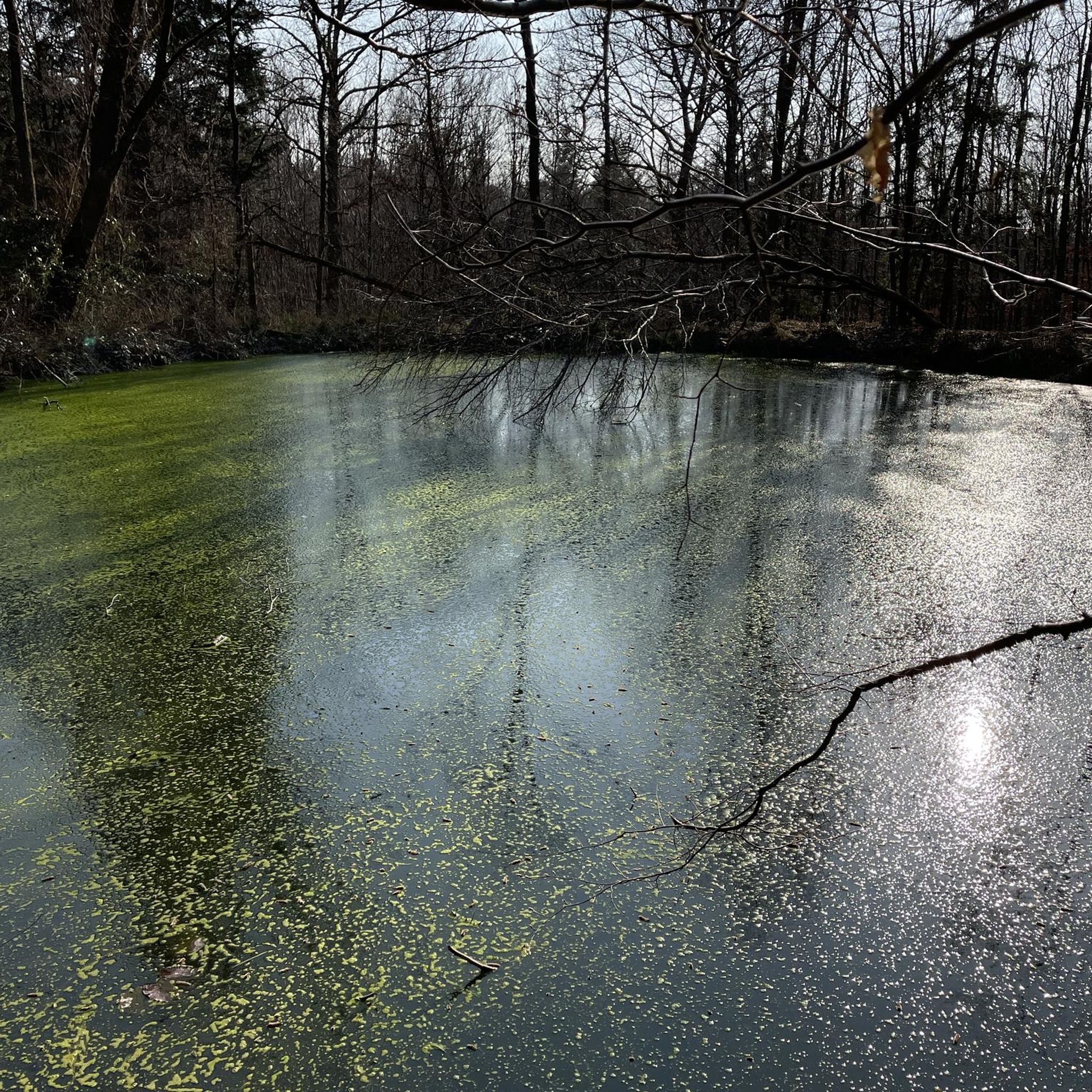
The Hoste Bas pond borders the Hoste Haut pond. It was part of the Maginot Line defense system. Today, they are home to numerous species of fish, much to the delight of anglers.
0
1
The cycle path runs along the Sarralbe river stop. There are picnic tables for a break.
0
0
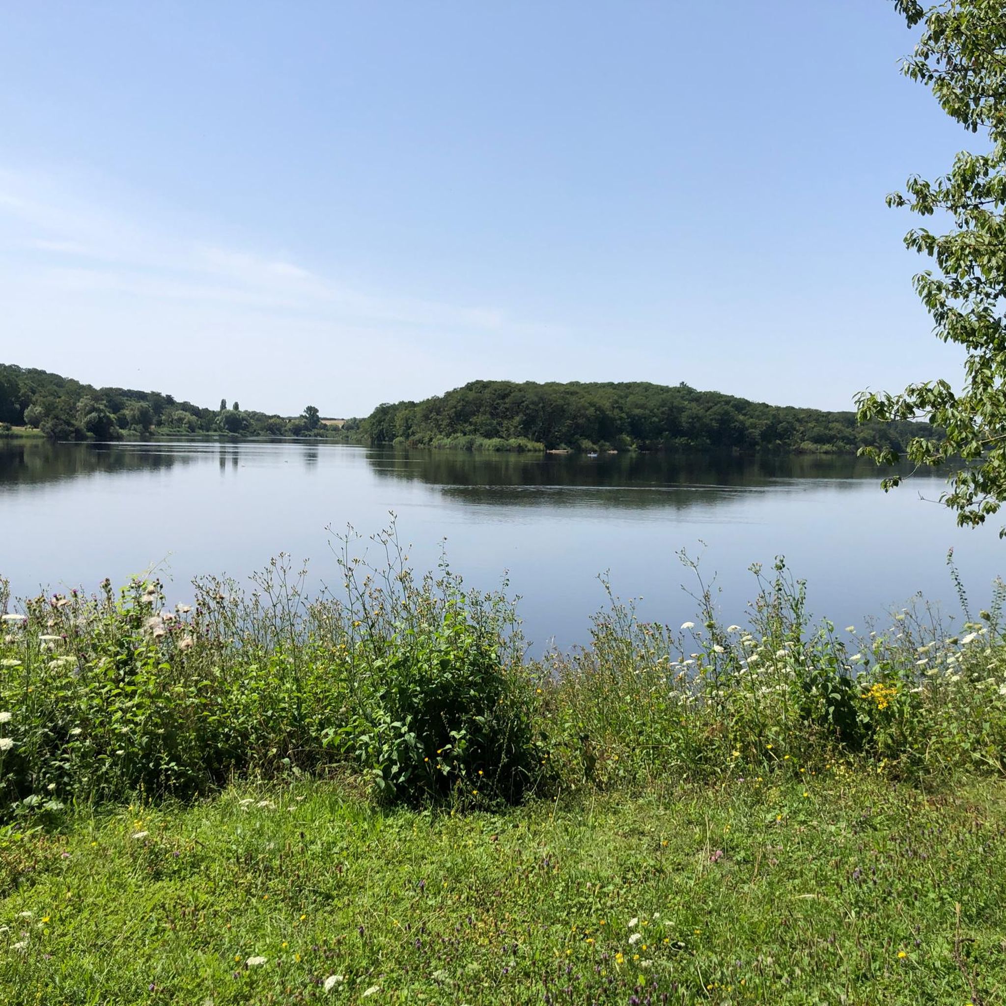
The Welschof Pond is a little corner of paradise for fishermen and ducks. It was built in the 1930s to serve as a reservoir for the Maginot Line's defensive flood control system.
2
0
The Diefenbach Pond covers 75 hectares and is one of the must-see sites along the aquatic Maginot Line. It is home to a wide variety of wildlife. It's not uncommon to encounter ducks, geese, and herons on the banks while strolling.
0
0

Farébersviller (German: Pfarrebersweiler) is a French commune with 5,316 inhabitants (1 January 2021) in the Moselle department in the Grand Est region (until 2015 Lorraine). It belongs to the arrondissement of Forbach-Boulay-Moselle, the canton of Freyming-Merlebach and the Freyming-Merlebach municipal association founded in 2001. Pfarrebersweiler belonged to the Duchy of Lorraine since 1581, which fell to France according to a treaty after the death of Stanislaus I on 23 February 1766. From 1871, following the defeat in the Franco-Prussian War, Pfarrebersweiler was part of the Imperial Territory of Alsace-Lorraine within the German Empire. After losing the First World War, the German Empire had to cede Alsace-Lorraine to France again under the terms of the Treaty of Versailles. After a further 22 years, German troops marched into the town again. Thus, Farébersviller, now Pfarrebersweiler again, was effectively annexed like the rest of Alsace-Lorraine. The town returned to France in 1944 and was given its French name again.
1
0

Impressive church in the town with the beautiful city gate.
2
0
Frequently Asked Questions
How many gravel bike trails are available around Leyweiler?
There are over 30 gravel bike routes documented on komoot for the Leyweiler region, offering a diverse range of options for cyclists. These include 1 easy, 18 moderate, and 15 difficult trails.
Are there any easy or beginner-friendly gravel bike routes in Leyweiler?
Yes, while many routes feature rolling terrain, there is at least one easy gravel bike route available. For those new to gravel biking or looking for a more relaxed ride, we recommend exploring options that specifically mention lower elevation gains and shorter distances.
What are the elevation profiles like on gravel bike routes around Leyweiler?
The Leyweiler region is characterized by rolling terrain, meaning you can expect a mix of climbs and descents. Some routes, like the challenging Mine Wendel – La Mine, Carreau Wendel loop from Farschviller, feature significant elevation changes, with over 800 meters of ascent, providing a good workout for experienced riders.
Are there any family-friendly gravel biking options in the area?
For families, it's best to look for routes categorized as 'easy' or 'moderate' with shorter distances and less demanding elevation profiles. While specific 'family-friendly' designations aren't always present, the region's network of rural paths offers potential for enjoyable rides away from heavy traffic. Consider routes that pass by ponds for scenic, flatter sections.
What kind of scenery can I expect on the gravel bike trails in Leyweiler?
Gravel biking around Leyweiler offers varied scenery, including rural paths, tracks traversing rolling hills, and picturesque pond landscapes. You'll also encounter areas with industrial heritage, such as those near the Mine Wendel – La Mine, Carreau Wendel loop from Farschviller, providing a unique blend of natural and historical sights.
Are there any circular gravel bike routes around Leyweiler?
Yes, many of the gravel bike routes in the Leyweiler area are designed as loops, allowing you to start and end at the same point. Examples include the Sarralbe Town Centre – Étang d hirchbach loop from Farschviller and the Étang de Welschhof – Welschhof Pond loop from Grundviller, which are popular choices among local riders.
What are some notable attractions or points of interest along the gravel routes?
The region features several points of interest. You can ride past beautiful bodies of water like the Lower Hoste Pond or the Étang de Diebling. Other highlights include the Farébersviller Memorial and Stone Bridge and the serene Bonne Fontaine Chapel and Spring of Hoste.
Are there routes that pass by lakes or ponds?
Absolutely. The Leyweiler area is known for its numerous ponds. Routes often incorporate these scenic water features, such as the Étang de Welschhof – Welschhof Pond loop from Grundviller, which offers views of Welschhof Pond. Other notable ponds you might encounter include Lower Hoste Pond and Hirbach Pond.
What is the best time of year to go gravel biking in Leyweiler?
The best time for gravel biking in Leyweiler is typically during the spring, summer, and early autumn months when the weather is milder and the trails are generally dry. These seasons offer pleasant temperatures and vibrant natural scenery, making for an enjoyable riding experience.
What do other gravel bikers say about the routes in Leyweiler?
The komoot community frequently explores Leyweiler's varied terrain, with over 40 gravel bikers having used komoot to discover the area. Riders often praise the diverse landscape, which combines rural tracks, pond-side paths, and rolling hills, offering something for different ability levels.
Are there any challenging gravel bike routes for advanced riders?
Yes, Leyweiler offers several challenging routes for experienced gravel bikers. For instance, the Sarralbe Town Centre – Étang d hirchbach loop from Farschviller is a difficult 84.8 km trail with significant elevation, connecting urban areas with natural pond landscapes and requiring a good level of fitness.
Can I find routes that offer viewpoints or scenic overlooks?
While specific 'viewpoint' highlights are not explicitly listed for every route, the rolling hills and varied terrain of Leyweiler naturally provide numerous opportunities for scenic overlooks. Routes that traverse higher ground or pass by larger ponds, such as the Farschviller Pond – Monument of the Forest Path loop from Farschviller, are likely to offer picturesque vistas of the surrounding countryside.
Most popular attractions around Leyweiler

Get inspired with the komoot mobile app


Explore more
Browse the best Gravel rides in other regions.
