The best gravel rides around Préchac
4.8
(12)
339
riders
23
rides
Gravel biking around Préchac offers varied terrain, characterized by extensive pine forests, gently rolling landscapes, and the Ciron River valley. The region is situated within the vast Landes forest and borders the Regional Natural Park of Landes de Gascogne, providing a rich natural environment. Routes often traverse through river valleys, mountain passes, and converted railway paths, featuring significant elevation changes.
Best gravel bike trails around Préchac
- The most popular gravel bike trail is Soulor Panorama – Soum Lake loop from…
Last updated: July 3, 2026
4.7
(3)
66
riders
59.2km
05:20
1,590m
1,590m
Hard gravel ride. Very good fitness required. Mostly paved surfaces. Suitable for all skill levels.
4.5
(4)
30
riders
42.7km
03:44
1,180m
1,180m
Hard gravel ride. Very good fitness required. Mostly paved surfaces. Suitable for all skill levels.

Sign up for free
5.0
(1)
76
riders
52.7km
04:19
1,460m
1,460m
Hard gravel ride. Very good fitness required. Mostly paved surfaces. Suitable for all skill levels.
15
riders
76.5km
06:54
2,250m
2,250m
Hard gravel ride. Very good fitness required. Mostly paved surfaces. Suitable for all skill levels.
5.0
(1)
49
riders
82.0km
06:35
2,600m
2,610m
Hard gravel ride. Very good fitness required. Mostly paved surfaces. Suitable for all skill levels.
Get access to more routes and recommendations from other explorers.
Sign up for free
Already have an account?
Our route recommendations are based on thousands of hikes, rides, and runs completed by other people on komoot.
Start today with a free account
Your next adventure awaits.
Login or Signup
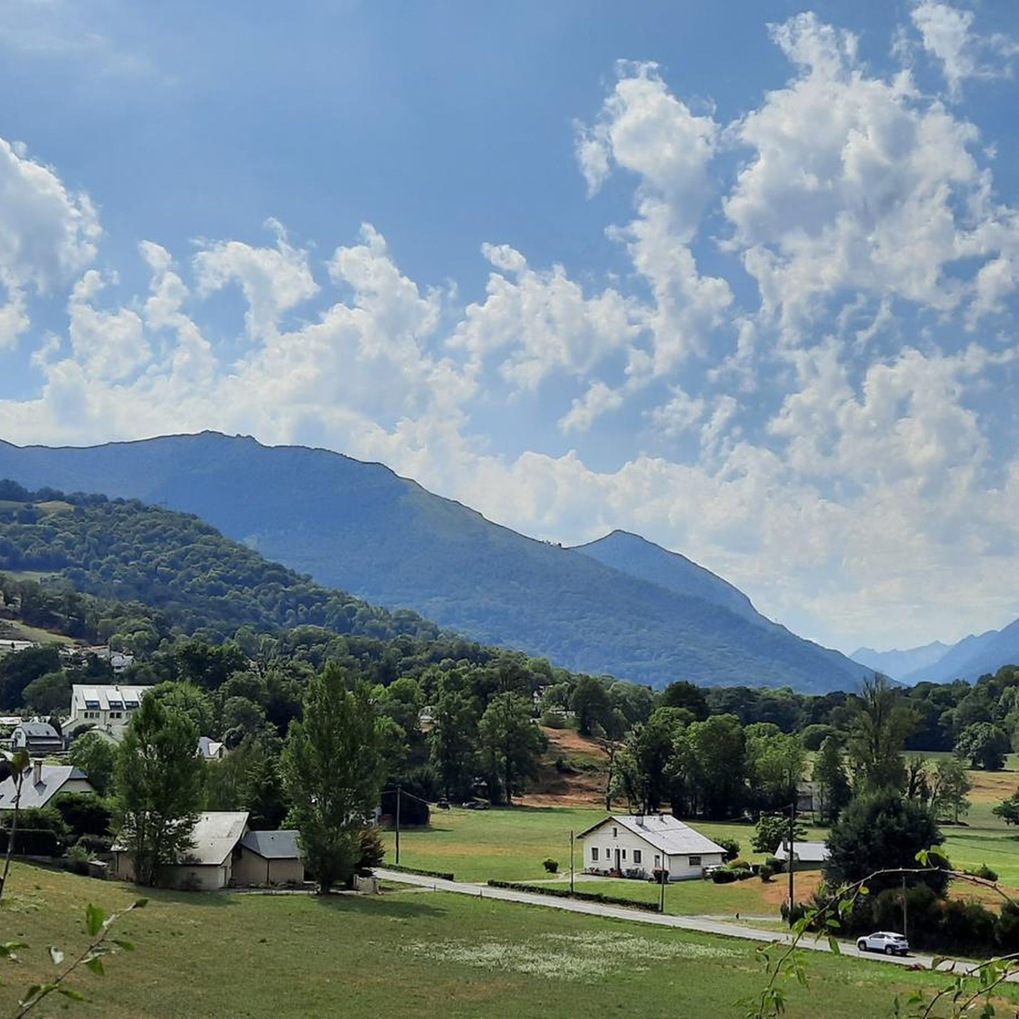

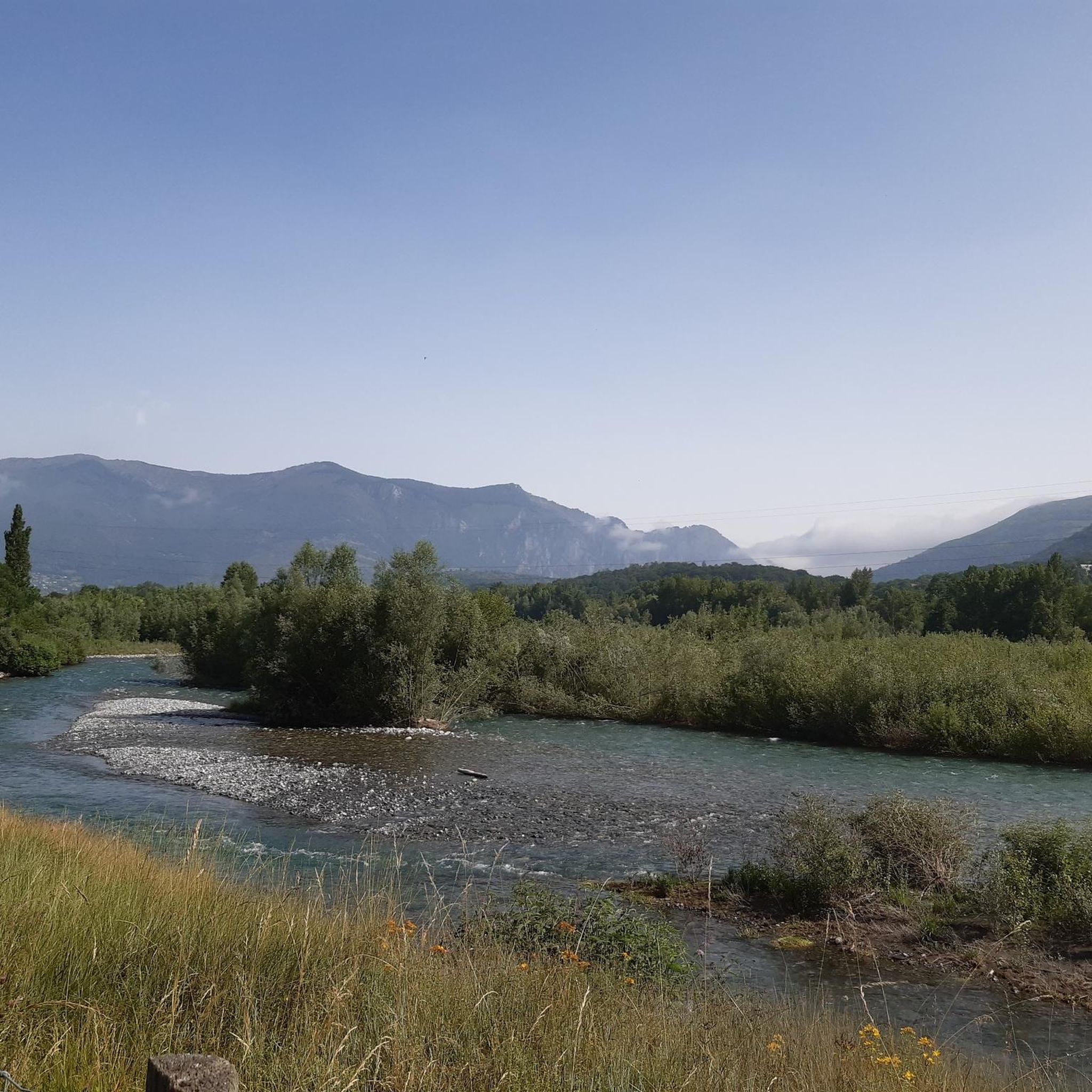
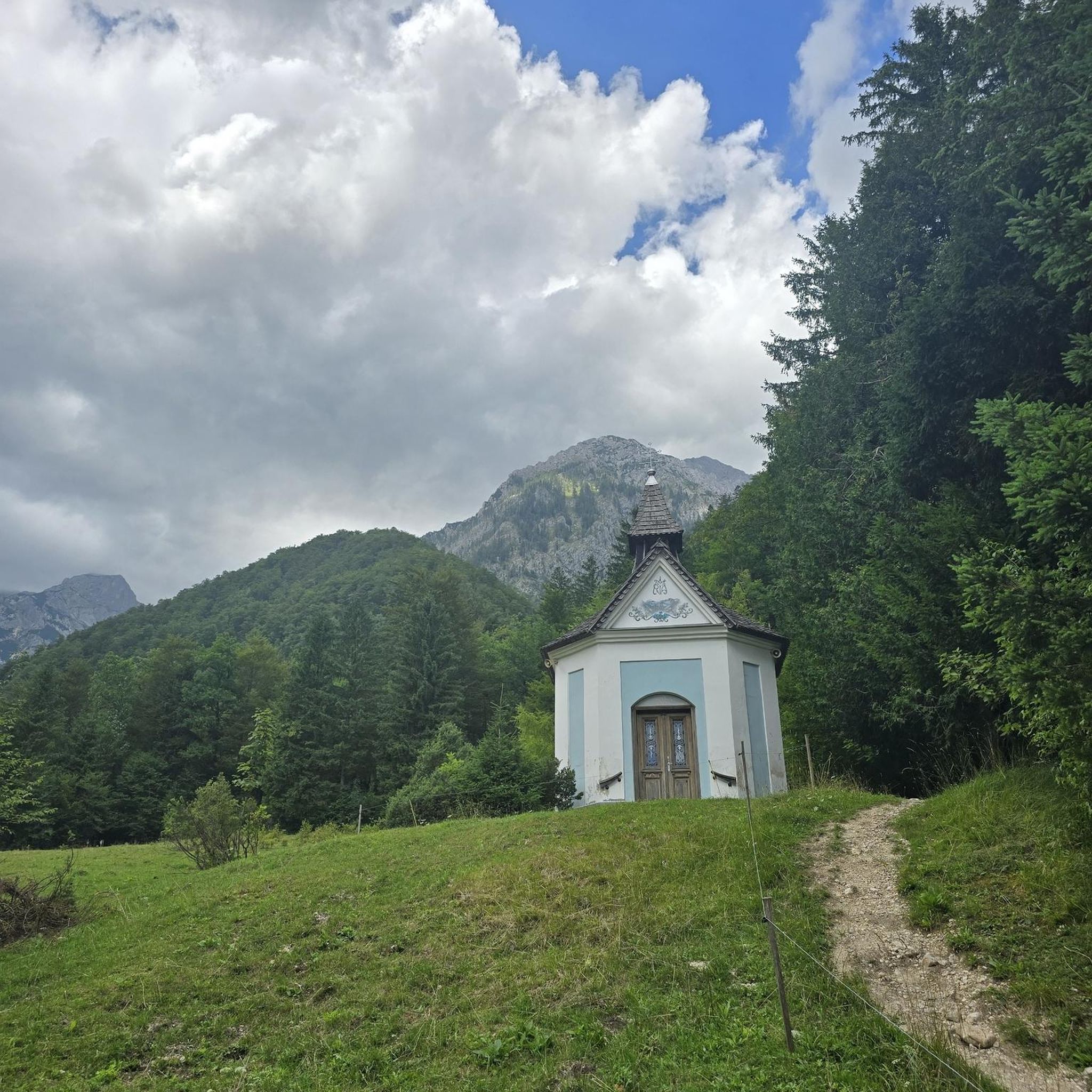
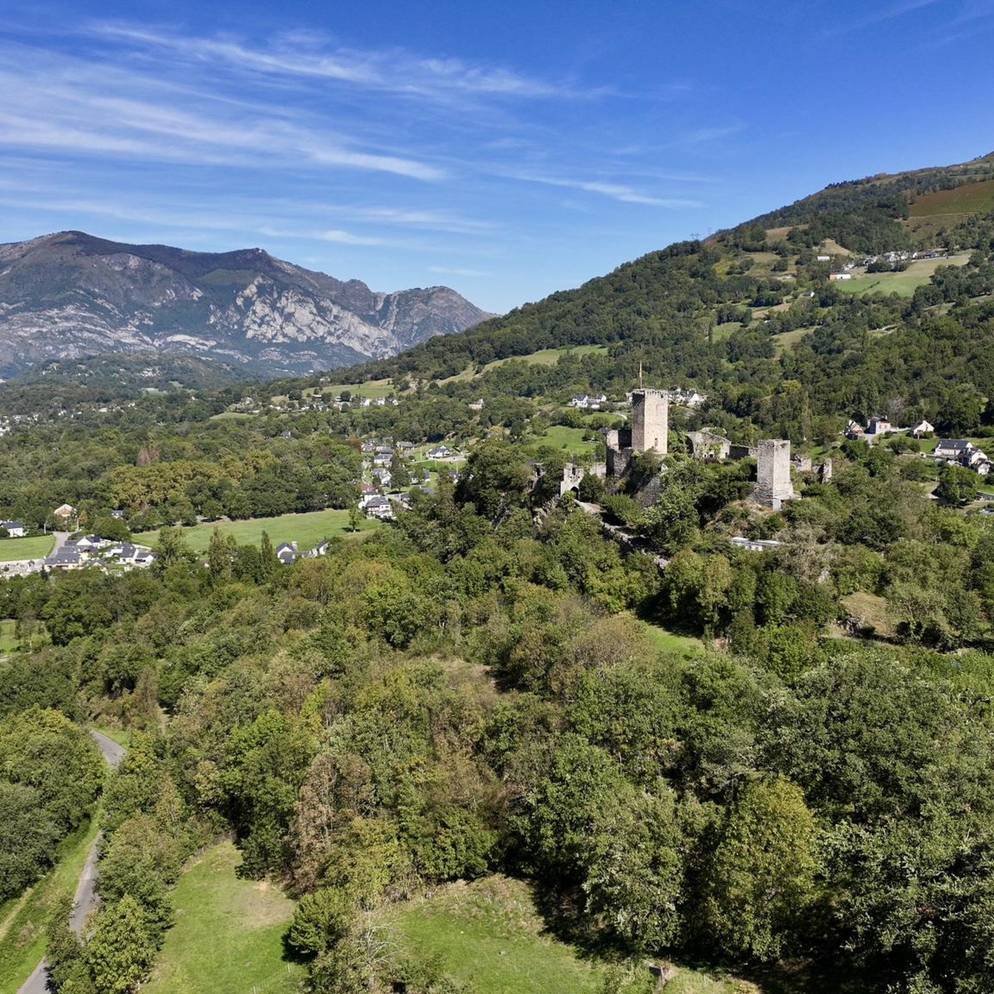

Tips from the Community


A gentle, narrow climb. From the west, the gradient is consistently high, with no respite. The asphalt is in good condition on both sides, making it easy to descend as well.
0
0

Nice climb, few cars, be careful on the descent, the asphalt is smooth but the grip is not the best, moreover some bends close. A great champion fell here during a TdF.
0
0

Very beautiful greenway at the foot of the mountains!
0
0
Beautiful spot on the greenway: in addition they left the toilets functional with toilet paper, and also a drinking water point: perfect!
0
0

A very nice climb. Be careful because there's a steep section. Check the altitude.
0
0
Frequently Asked Questions
What is the general difficulty level of gravel biking trails around Préchac?
Gravel biking around Préchac is characterized by significant elevation changes, with many routes traversing mountain passes and river valleys. The majority of the trails, 23 out of 28, are rated as difficult, offering challenging climbs and rewarding descents. There are also a few easy and moderate options available for those seeking a less strenuous ride.
Are there any beginner-friendly gravel bike trails in the Préchac area?
While most routes are challenging, there are a couple of easier options available. These trails typically feature more gradual gradients, often following river valleys or converted railway paths, providing a good introduction to gravel biking in the region.
What are the typical lengths and durations of gravel bike trails near Préchac?
The gravel bike trails around Préchac vary in length and duration. For instance, the Soulor Panorama – Soum Lake loop from Argelès-Gazost is about 36.6 miles (58.9 km) and takes around 6 hours 10 minutes. Shorter options like the Railroad cycle path near Argeles – Cauterets loop from Argelès-Gazost cover 22.1 miles (35.6 km) in about 3 hours 7 minutes, while longer, more demanding routes can extend up to 46.6 miles (75 km).
Are there circular gravel bike routes available in Préchac?
Yes, many of the gravel bike routes around Préchac are designed as loops, allowing you to start and finish in the same location. Examples include the Argeles Gazost – Bridge over the Gave de Pau loop from Argelès-Gazost and the Couraduque Pass – Spandelles Pass loop from Argelès-Gazost, which offer varied terrain and scenic views.
What is the best time of year for gravel biking in Préchac?
The best time for gravel biking in Préchac is generally from spring through autumn. During these seasons, the weather is more stable, and the mountain passes are typically clear of snow, offering optimal conditions for exploring the region's diverse terrain. Summer can be warm, so early morning rides are often preferred.
What are the winter conditions like for gravel cycling around Préchac?
Winter conditions in Préchac, particularly in higher elevations and mountain passes, can be challenging due to snow and ice. Many routes may become impassable or require specialized equipment. Lower elevation paths along river valleys might remain accessible, but it's always advisable to check local weather forecasts and trail conditions before heading out.
Are there any viewpoints or scenic spots along the gravel bike trails near Préchac?
Absolutely. The region is known for its panoramic views. Routes like the Soulor Panorama – Soum Lake loop from Argelès-Gazost offer stunning vistas. You'll also encounter numerous natural highlights such as Mount de Gez, Alian Peak, and Lake Isaby, providing excellent photo opportunities and places to rest.
Are there any cafes or places to stop for refreshments along the gravel routes?
While specific cafes directly on every trail segment are not guaranteed, many routes pass through or near villages and towns like Argelès-Gazost, where you can find various amenities, including cafes, bakeries, and restaurants. Planning your route with potential stops in mind is recommended.
What do other gravel bikers enjoy most about the trails in Préchac?
The gravel biking experience in Préchac is highly rated by the komoot community, with an average score of 4.7 stars from over 20 reviews. Riders frequently praise the varied terrain, the challenging climbs, and the stunning natural landscapes, particularly the river valleys and mountain pass views. The unique perspective offered by routes following former railway lines is also a highlight for many.
Are there any hidden gem gravel routes or less-trafficked trails in the area?
Beyond the popular routes, the region offers many lesser-known paths that provide a sense of solitude and discovery. Exploring the network of forest roads and agricultural tracks away from the main valleys can reveal quiet sections and unexpected views. The Old Betharram bridge – Spandelles Pass loop from Ayzac-Ost, for example, offers a challenging yet rewarding journey through varied landscapes that might feel more off the beaten path.
Is parking available near the gravel bike trailheads in Préchac?
Parking is generally available in the towns and villages that serve as common starting points for these routes, such as Argelès-Gazost. Many routes begin from accessible locations with public parking facilities. It's always a good idea to check specific starting points on your chosen route for detailed parking information.
Most popular routes around Préchac
Most popular attractions around Préchac

Get inspired with the komoot mobile app


Explore more
Browse the best Gravel rides in other regions.
