The best gravel rides around Roquetaillade
4.5
(2)
13
riders
6
rides
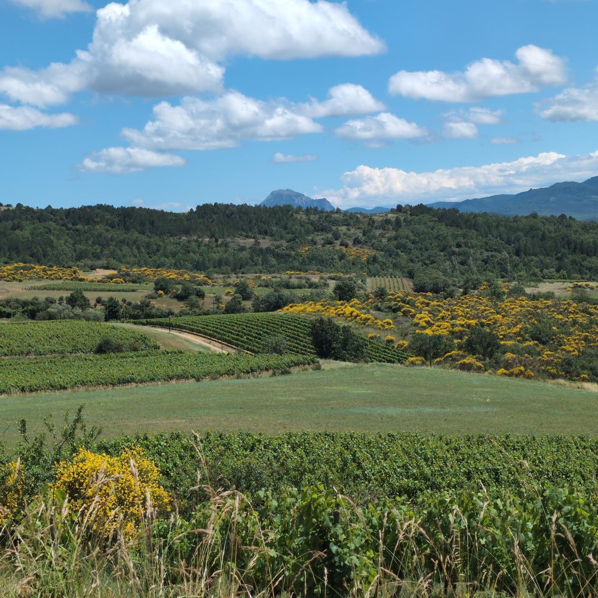
Gravel biking around Roquetaillade offers diverse terrain in Southern Gironde, France. The region is characterized by pine forests, extensive vineyards, and agricultural plains, providing varied landscapes for cycling. The Garonne River and the rocky spur upon which Château de Roquetaillade stands contribute to the varied elevation and scenic backdrops. The area features greenways, including those built on former railway lines, which offer a mix of packed earth, crushed stone, and quieter paved sections suitable for gravel bikes.
Best gravel bike…
Last updated: July 2, 2026
4.0
(1)
1
riders
29.3km
02:24
660m
660m
Hard gravel ride. Very good fitness required. You may need to push your bike for some segments of this route.
5
riders
67.4km
04:34
980m
980m
Hard gravel ride. Very good fitness required. Mostly paved surfaces. Suitable for all skill levels.

Sign up for free
5.0
(1)
2
riders
105km
07:51
1,580m
1,580m
Hard gravel ride. Very good fitness required. Mostly paved surfaces. Suitable for all skill levels.
2
riders
36.4km
02:54
790m
790m
Hard gravel ride. Very good fitness required. Mostly paved surfaces. Suitable for all skill levels.
2
riders
52.4km
03:41
900m
900m
Hard gravel ride. Very good fitness required. Mostly paved surfaces. Suitable for all skill levels.
Our route recommendations are based on thousands of hikes, rides, and runs completed by other people on komoot.
Start today with a free account
Your next adventure awaits.
Login or Signup
Tips from the Community

Small pass with Puivert castle in sight during the climb
0
0
At the 4th bend, much easier and shaded. Pleasant little pass.
0
0

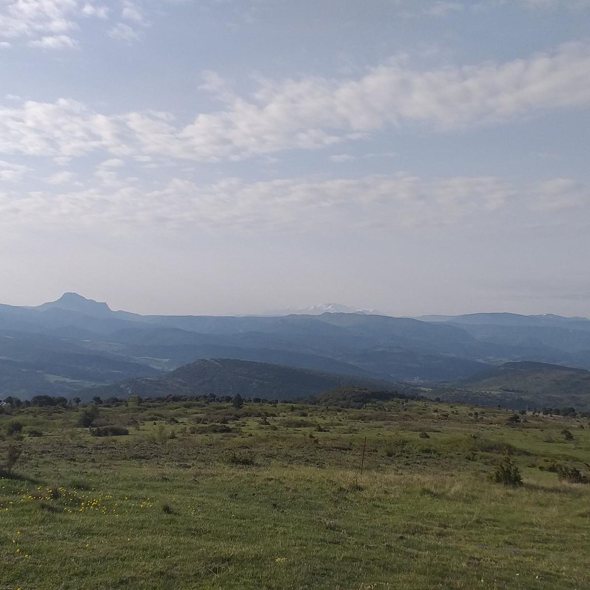
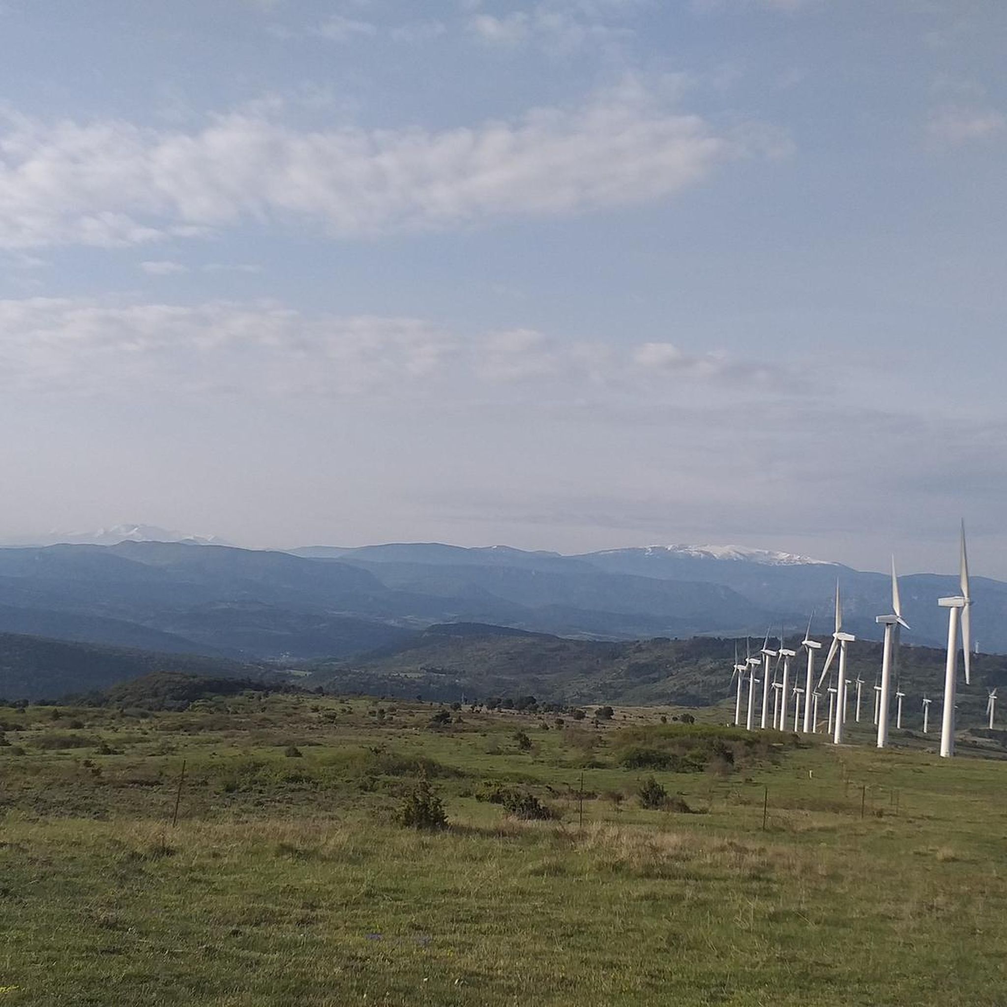
The Col de Festes and its view of the snow-capped Pyrenees in the distance: the perfect picnic break! The best thing is to take the path that starts from the summit for 200m and you will find yourself in peace and quiet with a beautiful view!
0
0
Nice climb with beautiful landscapes on the sleeping forest. Gentle climb, it's not too difficult even if it lasts a few kilometers, we don't really see them pass!
0
0
I really enjoyed this little road in the forest! Beautiful landscapes, and it's calm, relaxing!
0
0
Magnificent view on both sides of this bridge! We appreciate the wide and shallow Aude, exposed pebbles and the greenery around! It is really very beautiful!
0
0

Puivert is located between Razès to the north and the Sault region to the south. It is part of Quercorb. The name of this small natural region of Languedoc is not very well known. On the other hand, the commune itself is famous.
0
0
This superb greenway follows the route of an old railway line. At this precise location, you benefit from the unexpected freshness of a tunnel. The landscapes of pretty villages and the passage near old railway stations follow one another.
1
0
Frequently Asked Questions
How many gravel bike trails are available around Roquetaillade?
There are 7 gravel bike trails available around Roquetaillade. These routes offer diverse terrain, from the Bazadaise Forest to vineyards and agricultural plains, providing a range of experiences for gravel bikers.
What is the general difficulty level of gravel biking trails in Roquetaillade?
The gravel biking trails around Roquetaillade are generally challenging. Out of the 7 available routes, 6 are classified as difficult, with significant elevation gain. There is also 1 moderate route available for those seeking a slightly less strenuous ride.
Are there any family-friendly gravel biking routes near Roquetaillade?
While many routes in the area are classified as difficult, the region's greenways, such as the former railway line around Château de Roquetaillade, can offer flatter sections suitable for families. It's best to check individual route details for specific terrain and elevation to ensure it matches your family's ability.
What kind of landscapes can I expect to see while gravel biking in Roquetaillade?
Gravel biking in Roquetaillade offers a rich variety of landscapes. You'll ride through the dense Bazadaise Forest with its deciduous and coniferous woods, vast vineyards, and agricultural plains. The routes also feature views of the Garonne River and the rocky spur where Château de Roquetaillade stands, providing a picturesque backdrop for your ride.
What are some notable landmarks or viewpoints along the gravel bike trails?
Many routes offer spectacular viewpoints overlooking the historic Château de Roquetaillade. You might also pass by former train stations, traditional tobacco drying sheds, and picturesque churches. For specific points of interest, consider routes that pass near Festes Pass or Brau Peak, which offer scenic vistas.
Where can I park my car when accessing gravel bike trails in Roquetaillade?
Parking is generally available in the villages and towns near the trailheads. For routes starting from specific locations like Gaja-et-Villedieu or Limoux, you can typically find parking in the town centers or designated public parking areas. When planning your ride, check the starting point of your chosen route for the most convenient parking options.
What is the best time of year to go gravel biking in Roquetaillade?
The region experiences a mild climate, making spring and autumn ideal for gravel biking. During these seasons, the weather is pleasant, and the natural scenery, from blooming vineyards to autumnal forests, is particularly beautiful. Summers can be warm, so early mornings or late afternoons are recommended if riding during peak season.
Are there any circular gravel bike routes in the area?
Yes, several routes are designed as loops, allowing you to start and finish in the same location. For example, the Place de la République – Blanquette de Limoux loop from Gaja-et-Villedieu is a popular circular option. Another is the Our Lady of Marceille – Place de la République loop from Limoux.
What do other gravel bikers enjoy most about gravel biking in Roquetaillade?
The area is highly rated by the komoot community, with an average score of 4.0 stars. Reviewers often praise the diverse terrain, which combines challenging forest paths with scenic vineyard routes, and the opportunity to explore the region's rich cultural heritage, including its historic castles and rural villages.
Are there any cafes or restaurants suitable for cyclists in Roquetaillade or nearby villages?
The commune of Mazères and neighboring villages maintain an authentic rural character, offering charming local establishments. You'll find cafes and restaurants where you can refuel. Look for options in the small towns you pass through, such as Limoux or Pieusse, which are common starting points for routes like the Béteille lock – Canal du Midi loop from Pieusse.
Can I bring my dog on the gravel biking trails in Roquetaillade?
Many natural areas and trails in France are generally dog-friendly, especially if your dog is well-behaved and kept on a leash. However, specific regulations can vary, particularly in protected areas or private lands. It's always advisable to check local signage or specific route descriptions for any restrictions regarding dogs.
What is the longest gravel bike route available in Roquetaillade?
The longest gravel bike route in the area is the Festes Pass – Tougnets Pass loop from Limoux, covering approximately 64.7 km (40.2 miles). This difficult route also features the highest elevation gain, making it a significant challenge for experienced riders.
Is public transport available to access the gravel biking trails in Roquetaillade?
While Roquetaillade itself is a small village, larger nearby towns like Limoux may offer public transport connections. From these towns, you might be able to cycle to the trailheads. However, direct public transport to specific trail starting points can be limited, so planning your journey with a car or considering bike-friendly taxi services might be more practical.
Most popular routes around Roquetaillade
Most popular attractions around Roquetaillade

Get inspired with the komoot mobile app


Explore more
Browse the best Gravel rides in other regions.
