The best gravel rides around Saint-Hilaire
4.0
(11)
45
riders
10
rides
Gravel biking around Saint-Hilaire offers diverse terrain within a UNESCO Biosphere Reserve, centered around Mont Saint-Hilaire, a prominent hill rising 414 meters. The region features extensive forests, including old-growth deciduous areas, and varied landscapes that transition from agricultural lands with orchards and vineyards to the natural trails of the Gault Nature Reserve. Riders can expect a mix of paved and unpaved surfaces, traversing through woodlands and alongside the Richelieu River plains.
Best gravel bike trails around Saint-Hilaire
- The most popular…
Last updated: July 2, 2026
4.0
(1)
1
riders
29.3km
02:24
660m
660m
Hard gravel ride. Very good fitness required. You may need to push your bike for some segments of this route.
3
riders
29.0km
02:04
390m
390m
Hard gravel ride. Good fitness required. You may need to push your bike for some segments of this route.

Sign up for free
3
riders
52.7km
03:33
510m
510m
Hard gravel ride. Very good fitness required. Mostly paved surfaces. Suitable for all skill levels.
3
riders
Moderate gravel ride. Good fitness required. Mostly paved surfaces. Suitable for all skill levels.
3.5
(2)
3
riders
53.5km
03:25
410m
410m
Hard gravel ride. Good fitness required. You may need to push your bike for some segments of this route.
Get access to more routes and recommendations from other explorers.
Sign up for free
Already have an account?
Our route recommendations are based on thousands of hikes, rides, and runs completed by other people on komoot.
Start today with a free account
Your next adventure awaits.
Login or Signup
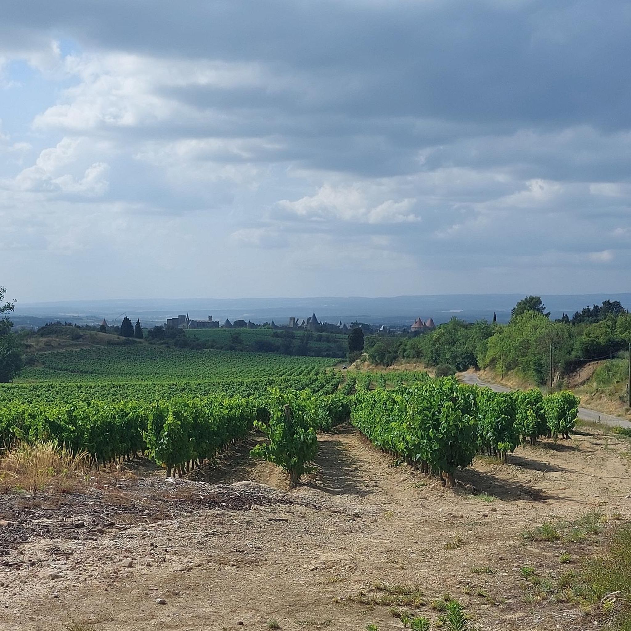
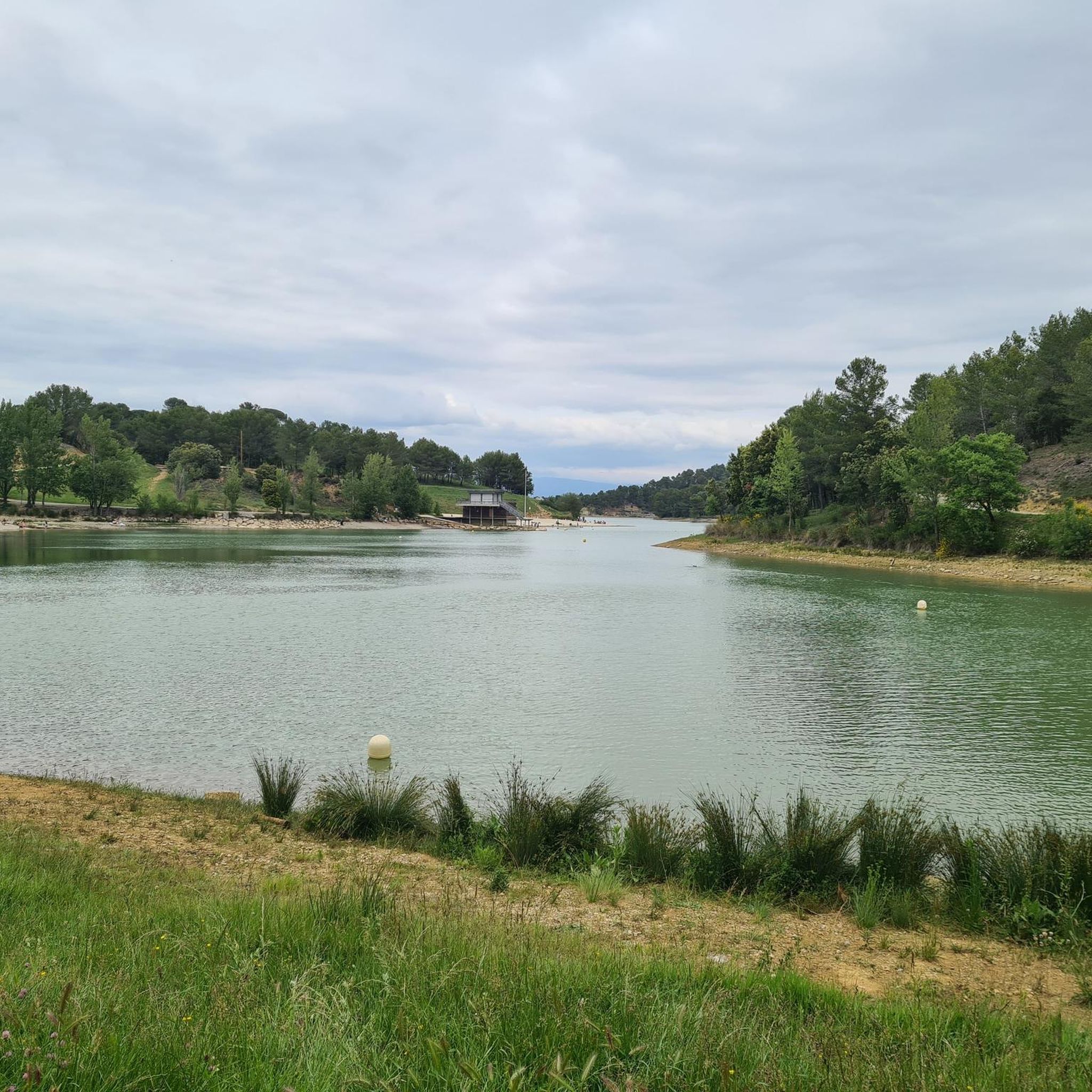
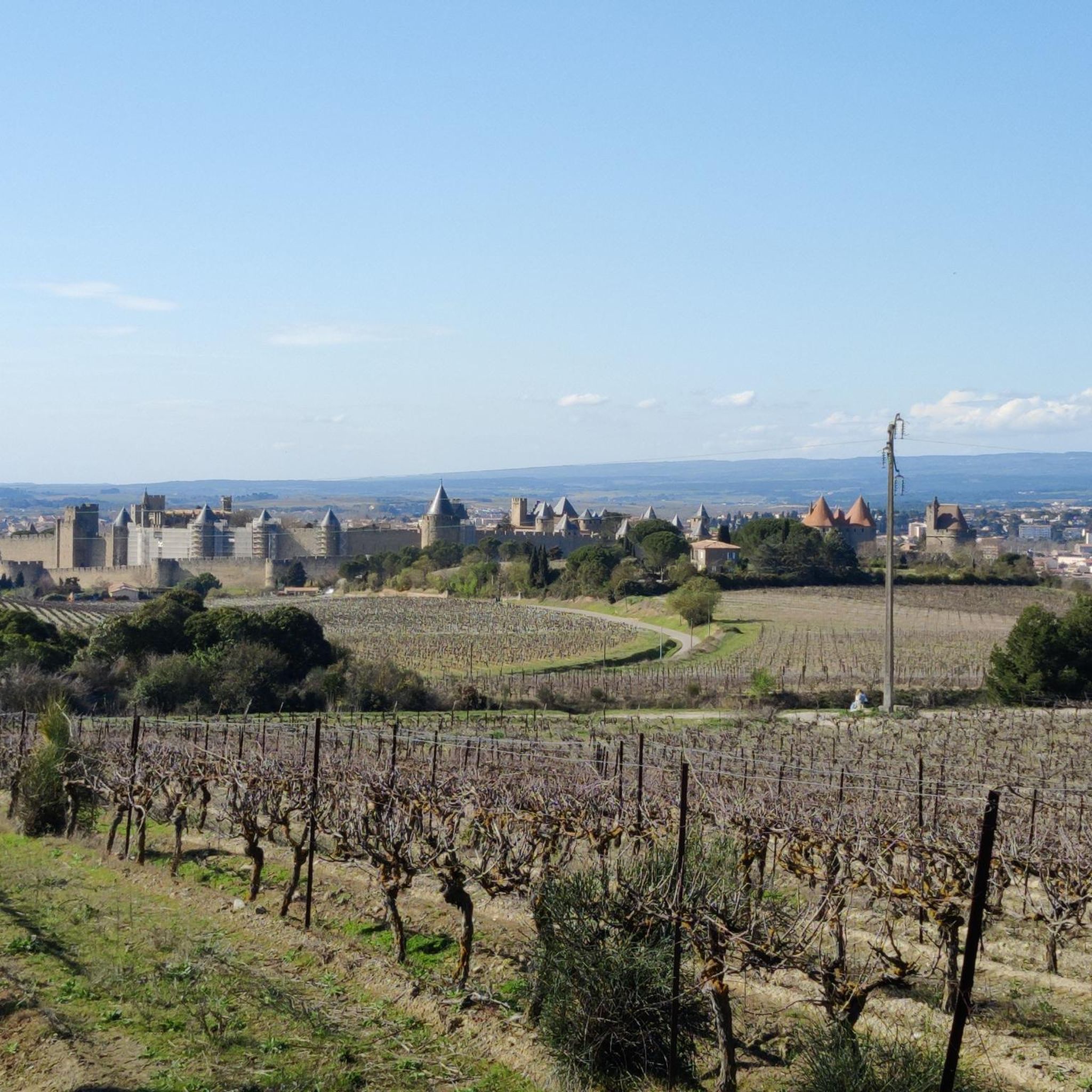
Tips from the Community

Hello Cormé, If you look to the left on the way there and to the right on the way back, you will see the same thing 😂 I'm joking of course and you are right, loop tracks are nicer.
0
0

During the canal's construction, Pierre-Paul Riquet allowed streams to flow into the canal. Excess water was discharged through weirs. This system generated alluvial deposits that silted up the canal and disrupted navigation. By 1685, boats were having difficulty navigating in many places. In 1686, King Louis XIV entrusted Vauban with an inspection of the Canal du Midi (then called the Royal Canal of Languedoc). This aqueduct has three arches. At low water levels, the Orbiel River flows only under the western arch. During floods, it overflows its banks, and sometimes the three arches are no longer sufficient to maintain the flow. In the most severe floods, the structure can be completely submerged, as was the case in 2018.
0
0

For years I have been passing by you, you whose age is immeasurable. Some would call you venerable (I will have to look up the dictionary to determine whether or not I am included in this group). What I do know is that you existed long before me, and I hope you will exist long after me.
1
0

Beautiful location near Aragon. Ideal for gravel riding.
0
0

The pizzeria is nice, open from 12 o'clock
0
0

Never go back down to the valley on the countryside side. They let the dogs loose without warning!
0
0

Magnificent view on both sides of this bridge! We appreciate the wide and shallow Aude, exposed pebbles and the greenery around! It is really very beautiful!
0
0

"Carcassonne, located in the south of France between Montpellier and Toulouse, was founded in the 6th century BC by Iberian Celts. The Romans turned the hill into a castle by building a protective wall. In the 5th century, the Visigoths conquered the city, and in the 8th century the Arabs, who drove them out in 759. In the 12th century, Count Trencavel built a count's castle on the highest point of the hill on parts of the Roman city wall. Carcassonne became a central element in the defense system on France's border with Aragon. In the middle of the 13th century, the dilapidated wall was protected by a second outer city wall." With these words, the website for the television series "Treasures of the World - Heritage of Humanity" describes the city that is a UNESCO World Heritage Site. The 15-minute film is available – but only in German – in the ARD media library under the following link => https://www.ardmediathek.de/video/schaetze-der-welt/carcassonne-frankreich-folge-125/swr/Y3JpZDovL3N3ci5kZS83MTc1NzUw
0
0
Frequently Asked Questions
What kind of terrain can I expect on gravel bike trails around Mont-Saint-Hilaire?
Gravel biking around Mont-Saint-Hilaire offers a diverse mix of surfaces. You'll encounter both paved and unpaved sections, traversing through extensive forests, agricultural lands with orchards and vineyards, and natural trails within the Gault Nature Reserve. The region is characterized by varied elevation changes, from flat plains alongside the Richelieu River to the slopes of Mont Saint-Hilaire itself.
How many gravel bike trails are available in the Mont-Saint-Hilaire area?
There are 10 gravel bike trails documented in the Mont-Saint-Hilaire area. These routes offer a range of experiences, from moderate to difficult, ensuring options for various skill levels.
Are there challenging gravel routes for experienced riders?
Yes, Mont-Saint-Hilaire offers several challenging routes. For instance, the Col du Poteau – Post collar loop from Palaja is a difficult 61.5 km trail with over 1000 meters of elevation gain. Another demanding option is the Place de la République – Blanquette de Limoux loop from Gaja-et-Villedieu, which includes significant climbs over its 28.8 km.
What are some notable landmarks or viewpoints I can see while cycling?
The region offers several points of interest. You might encounter the dramatic Dieppe cliffs, which reach nearly 175 meters high. For specific viewpoints, consider visiting Brau Peak. The area also features the central Lac Hertel, encircled by the mountain's summits, and the Gault Nature Reserve itself is a significant natural landmark.
What do other gravel bikers enjoy most about the trails in Mont-Saint-Hilaire?
The gravel bike trails in Mont-Saint-Hilaire are highly rated by the komoot community, with an average score of 4.0 stars from over 7 reviews. Reviewers often praise the diverse terrain, which transitions from forested paths to agricultural lands, and the varied elevation changes that provide engaging rides.
Are there any long-distance gravel routes in the area?
Yes, there are several longer routes. The Col du Poteau – Post collar loop from Palaja is a substantial 61.5 km trail. Another option is the Canal du Midi Stone Marker – Les Moulins du Pont loop from Lavalette, which covers 52.2 km through diverse landscapes.
Can I find routes that offer views of the Richelieu River?
Yes, many routes in the Mont-Saint-Hilaire area traverse the surrounding plains, which include areas alongside the Richelieu River. The region's diverse landscapes often transition from forested areas to agricultural lands, providing opportunities for views of the river and its surroundings.
What is the best time of year for gravel biking in Mont-Saint-Hilaire?
Mont-Saint-Hilaire is suitable for gravel biking across multiple seasons. The region's diverse topography and extensive trail network are enjoyable in spring, summer, and fall. In colder months, some trails transform for winter sports, so checking local conditions is advisable.
Are there any routes that pass through vineyards or orchards?
Yes, the Mont-Saint-Hilaire region is known for its agritourism, featuring numerous apple orchards and vineyards. Many gravel biking routes traverse these agricultural lands, offering scenic rides through the countryside and opportunities to experience local produce.
What is the significance of Mont Saint-Hilaire as a natural area?
Mont Saint-Hilaire is a UNESCO Biosphere Reserve, recognized since 1978 for its unique natural features. It protects over a thousand hectares of primeval forest, including some of Quebec's last remnants of old-growth deciduous forest, and is home to diverse flora and fauna, including many endangered species.
Are there any routes that offer a good mix of forest and open views?
Absolutely. The gravel routes around Mont-Saint-Hilaire are defined by their varied landscapes. You can expect to ride through dense woodlands, particularly within the Gault Nature Reserve, and then emerge into open agricultural fields, offering panoramic views of the surrounding plains and the Richelieu River. The View of La Cité de Carcassonne – Fresquel Lock loop from Lavalette is an example of a route that offers diverse scenery.
Are there any routes that are more moderate in difficulty?
While many routes are classified as difficult, there are also moderate options available. Out of the 10 routes, 4 are categorized as moderate, providing a less strenuous experience while still allowing you to explore the region's beauty. These routes offer a good balance for riders looking for a less intense challenge.
Most popular routes around Saint-Hilaire
Most popular attractions around Saint-Hilaire

Get inspired with the komoot mobile app


Explore more
Browse the best Gravel rides in other regions.
