The best gravel rides around Rodemachern
4.5
(28)
265
riders
34
rides
Gravel biking around Rodemachern offers a network of routes through varied terrain. The region is characterized by extensive forests, rolling hills, and open landscapes, providing diverse conditions for gravel cyclists. Routes often traverse woodland paths and rural roads, with elevation changes typical of the area's topography.
Best gravel bike trails around Rodemachern
- The most popular gravel bike trail is Tomb of the Cavalier – La Borne des Quatre Seigneurs loop from Évrange, a 26.2 miles (42.1 km) trail that…
Last updated: July 3, 2026
3.0
(3)
27
riders
42.0km
02:57
570m
570m
Hard gravel ride. Very good fitness required. Mostly paved surfaces. Suitable for all skill levels.
5.0
(1)
16
riders
71.3km
05:13
940m
940m
Hard gravel ride. Very good fitness required. Mostly paved surfaces. Suitable for all skill levels.

Sign up for free
5.0
(1)
16
riders
Moderate gravel ride. Good fitness required. Mostly paved surfaces. Suitable for all skill levels.
10
riders
23.7km
01:55
270m
270m
Moderate gravel ride. Good fitness required. Mostly paved surfaces. Suitable for all skill levels.
4.4
(7)
12
riders
Moderate gravel ride. Good fitness required. Mostly paved surfaces. Suitable for all skill levels.
Get access to more routes and recommendations from other explorers.
Sign up for free
Already have an account?
Our route recommendations are based on thousands of hikes, rides, and runs completed by other people on komoot.
Start today with a free account
Your next adventure awaits.
Login or Signup
Tips from the Community

Funny Captions to Read on the Bulletin Board
0
0

🛡️ **Ouvrage de Kobenbusch – Mighty Fortification of the Maginot Line** The **Ouvrage de Kobenbusch**, located south of Cattenom near the Luxembourg border, is one of the large underground fortifications of the **Maginot Line**. It was built between 1930 and 1935 and consisted of several combat blocks, underground connecting tunnels, a barracks, ammunition depots, and machine rooms – on several levels, anchored deep in the limestone. ⚙️ Particularly noteworthy: The technical systems were designed to be self-sufficient for months – including power generation, ventilation, a kitchen, and a hospital. The fort was occupied without a fight during World War II, continued to be used in part after the war, and is now privately owned. 🚷 It's **not open to the public**, but some ventilation towers and blockhouses are still visible in the forest near the D64 road (between Cattenom and Berg-sur-Moselle). **Tip:** For Maginot fans, a walk through the forest is worthwhile – with a little research, you'll find several bunker remains. Respect barriers, as some entrances are unstable or secured.
1
0
🛡️ **Ouvrage du Galgenberg – A Deep Look into the Maginot Line** The **Ouvrage de Galgenberg** is a large underground fortification of the **Maginot Line**, located south of Cattenom. It was built between 1930 and 1935 and served to defend the French border against Germany. The complex consists of several **combat bunkers**, **barracks**, **tunnels**, and **supply facilities** located deep underground. During the Cold War, the fort was modernized and remained in active use until the 1980s. 🔦 Today, it is accessible for guided tours (registration only), including a view of the original equipment: rails, power supply, ventilation systems, and gun emplacements. **Tip:** Ideal for military and history buffs – bring warm clothing, as it's chilly inside! Guided tours with former soldiers or experts are particularly impressive.
1
0
🏰 Château de Malbrouck (Manderen-Ritzing) A magnificent 15th-century hilltop castle, once the first settlement of Marlborough ("Malbrouck") in 1705. Today, it has been lovingly restored (1991–1998) and is home to changing exhibitions, festivals, and medieval events. Tip: Combine your visit with a walk around the castle—take time to admire the towers, exhibitions, and seasonal events. Ideal for families, history buffs, and culture enthusiasts!
6
0

The Roman Villa Borg is a fascinating open-air archaeological museum. Built as a fully reconstructed villa rustica based on a Roman model, it provides visitors with an authentic picture of life in the Roman Empire. The complex features faithful replicas and archaeological finds that bring the past to life. A special highlight is the Roman tavern, where you can enjoy historical dishes. The workshops also offer unique insights into ancient craftsmanship, which you can experience up close.
0
0

Before the construction of the washhouse, the washerwomen of Peppange used a small pond in a backwater of the Alzette in the middle of the valley, on the border between the two districts of Peppange and Berchem. In 1894, the municipality of Roeser had the washhouse built with a surrounding wall and roof next to the road leading to Hellange.
0
0

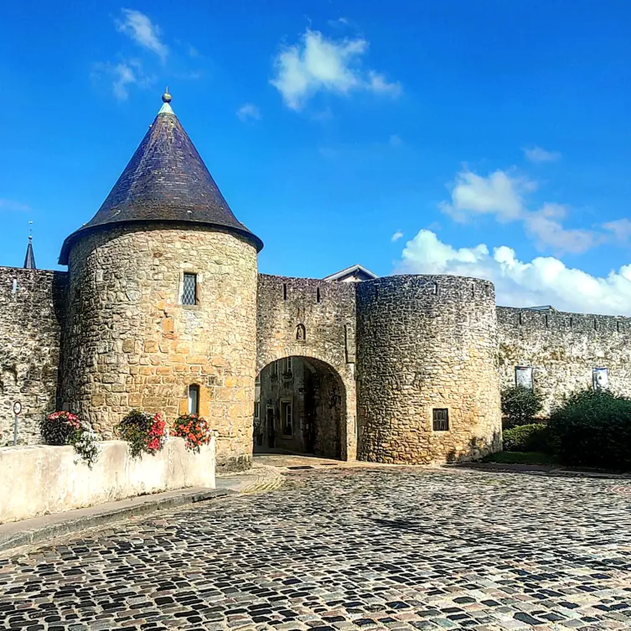
Very beautiful castle with sometimes exciting exhibitions and events. At an event organized by the University of Metz, I was able to experience an interesting tour there with a great dinner in the large hall. The meal was accompanied by a lute ensemble.
8
0

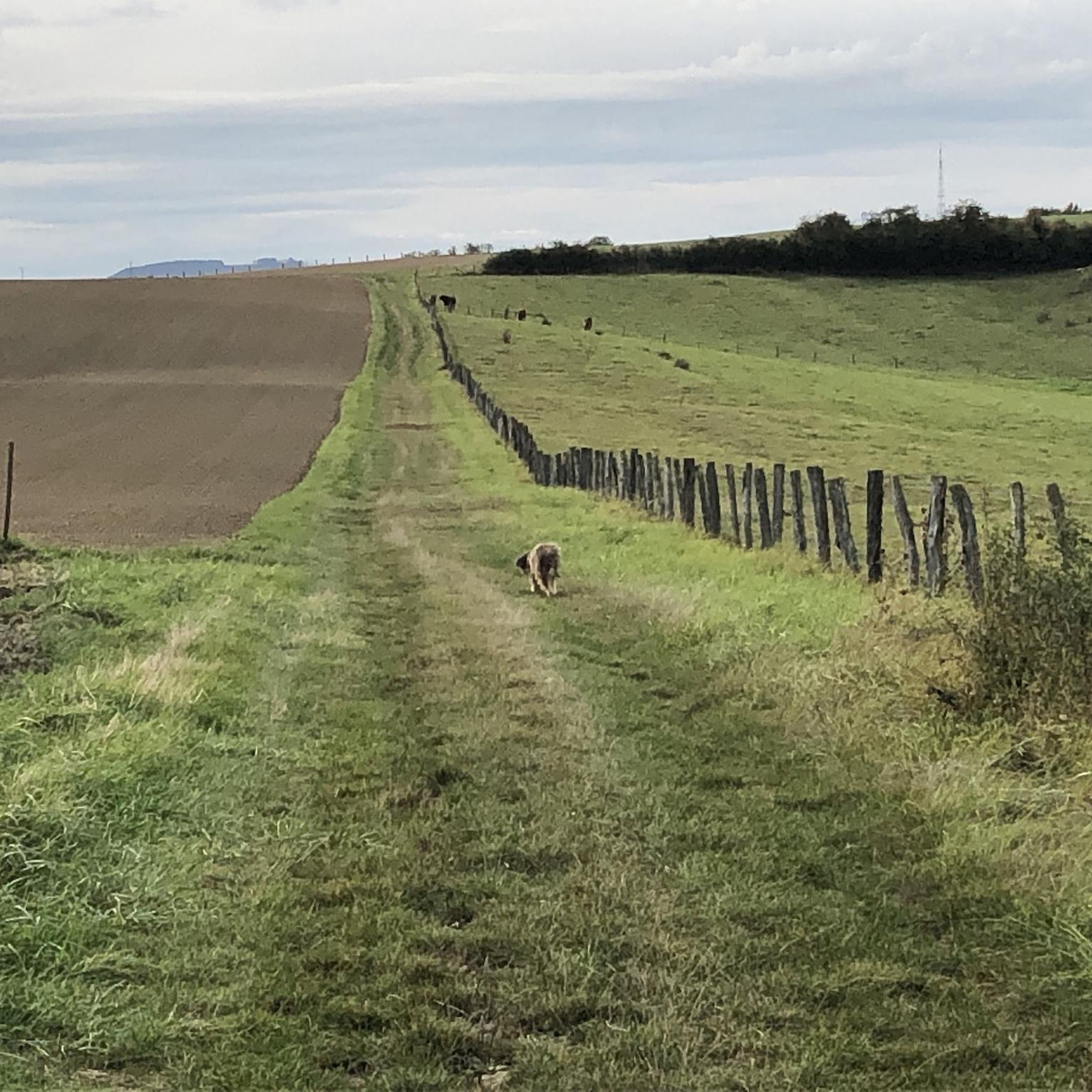
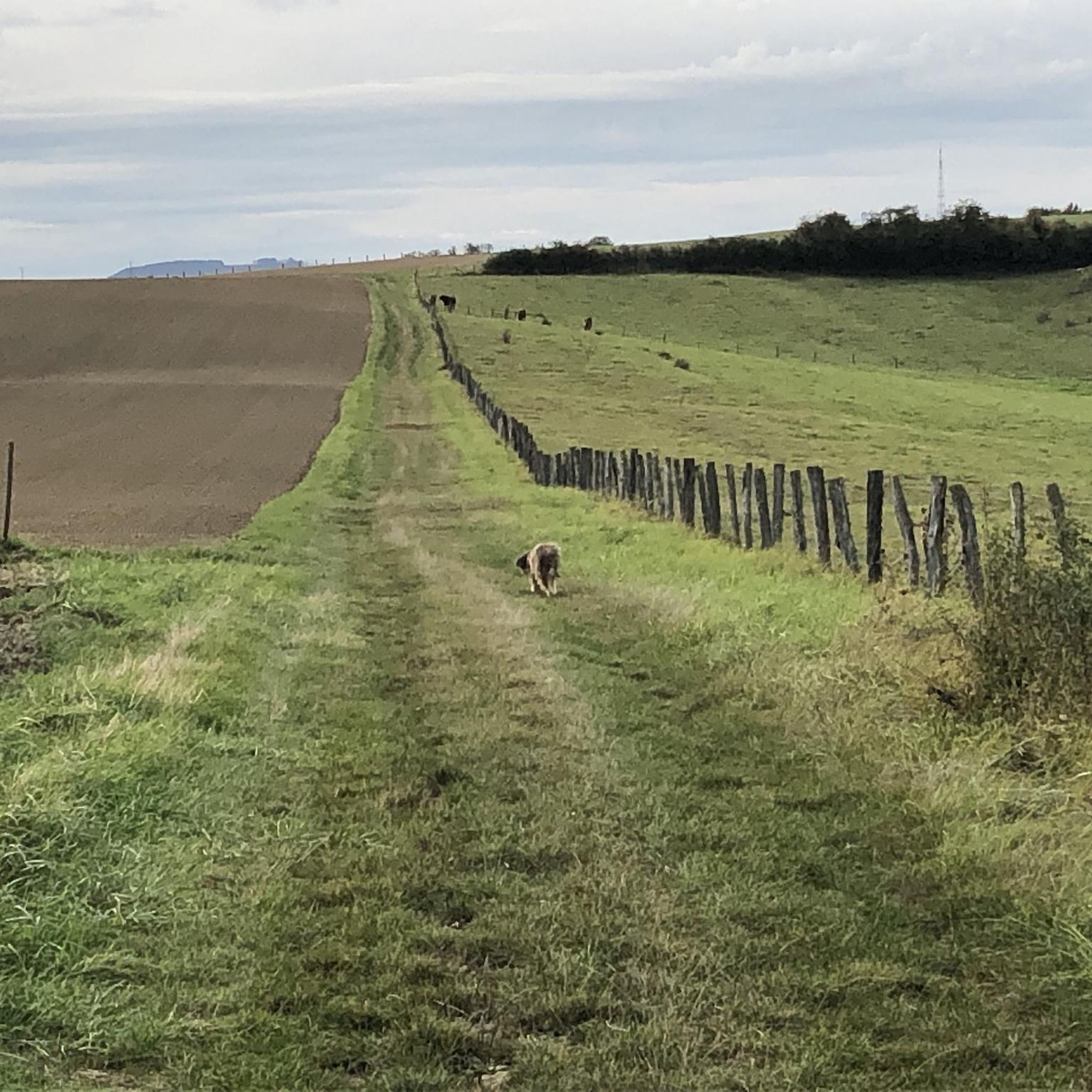
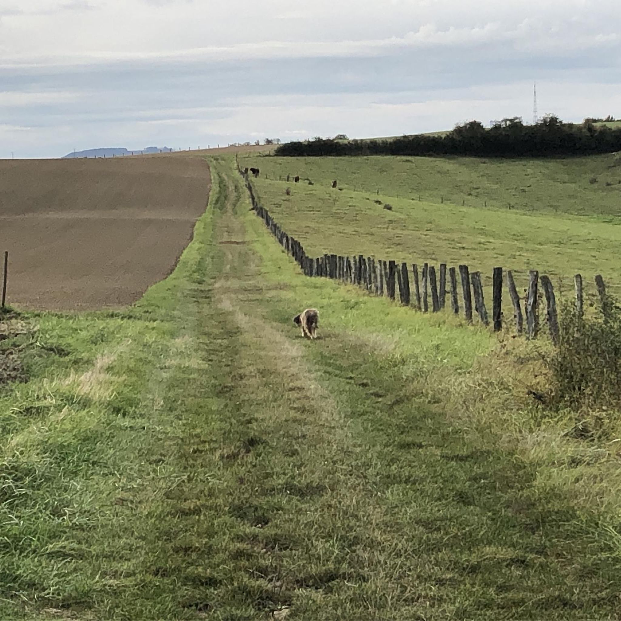
Rolling gravel passage, a delight!
0
0
Frequently Asked Questions
How many gravel bike trails are available around Rodemachern?
Rodemachern offers a good selection of gravel biking routes, with over 50 trails available for exploration. These routes cater to various skill levels, from moderate to difficult, ensuring there's something for every gravel cyclist.
Are there any beginner-friendly gravel bike routes in Rodemachern?
While many routes in Rodemachern are moderate to difficult, there are a few options suitable for beginners or those looking for an easier ride. For example, the region features routes with less elevation gain and shorter distances, perfect for getting started. Always check the individual tour details on komoot for specific difficulty ratings.
What kind of terrain can I expect on gravel bike trails near Rodemachern?
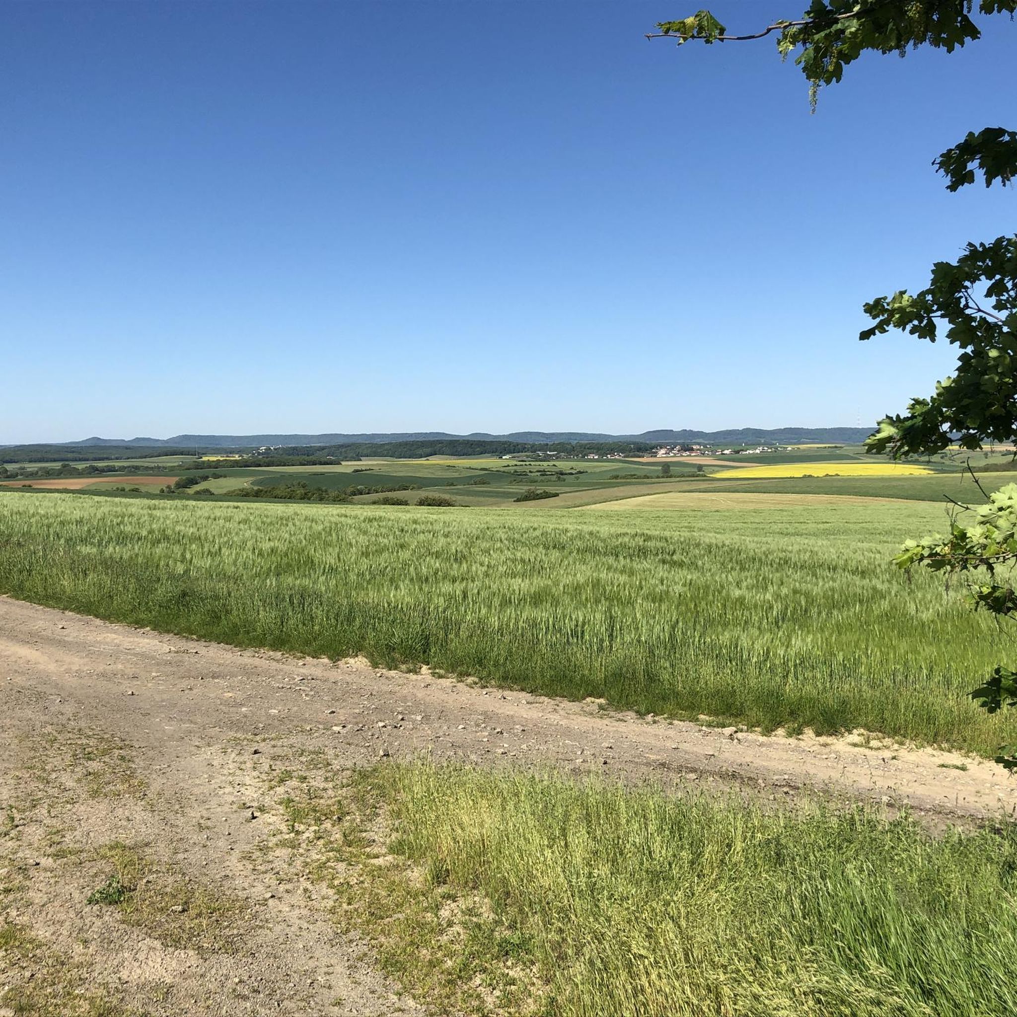
The gravel bike trails around Rodemachern are characterized by a diverse mix of terrain. You'll encounter extensive forests, rolling hills, and open landscapes. Routes often traverse woodland paths, rural roads, and dedicated gravel tracks, providing varied conditions and scenic views typical of the region's topography.
Are there any long-distance gravel bike routes for experienced riders?
Yes, for those seeking a longer challenge, Rodemachern offers several routes. A notable option is the Tomb of the Cavalier – La Borne des Quatre Seigneurs loop from Évrange, which spans over 42 km and features significant elevation changes, making it a demanding ride for experienced gravel bikers.
Can I find circular gravel bike routes in the Rodemachern area?
Absolutely. Many of the gravel bike routes around Rodemachern are designed as loops, allowing you to start and end at the same point. An excellent example is the Forêt Domaniale de Garche – Ouvrage du Kobenbusch loop from Breistroff-la-Grande, which takes you through dense forest areas and past historical fortifications on a circular path.
What are some interesting landmarks or attractions I can see along the gravel routes?
The Rodemachern area is rich in history and natural beauty. Along your rides, you might encounter historical markers, viewpoints, and natural monuments. Consider exploring routes that pass near the Perl Three-Country View — Monument and Viewpoint or the unique Stromberg Limestone Cliffs. The region also has various other highlights like the Schengen European Museum and Border Monuments.
What is the best time of year to go gravel biking in Rodemachern?
The best time for gravel biking in Rodemachern is typically from spring through autumn (April to October). During these months, the weather is generally mild, and the trails are in good condition. While winter riding is possible, some paths might be muddy or icy, especially in forested areas, so always check local conditions.
Are there any routes that offer great viewpoints or scenic overlooks?
Yes, the rolling hills and varied landscapes of Rodemachern provide several opportunities for scenic views. The Forest Trail – View of Southern Luxembourg loop from Évrange is a good option for those seeking panoramic vistas, as its name suggests it offers views towards Southern Luxembourg.
What do other gravel bikers say about the trails in Rodemachern?
The gravel biking routes in Rodemachern are highly regarded by the komoot community, boasting an average rating of 4.3 stars from over 20 reviews. Cyclists often praise the diverse terrain, the tranquility of the extensive forests, and the well-maintained paths that make for an enjoyable riding experience.
Are there any gravel routes that are particularly suitable for families?
For families or those looking for a more relaxed pace, consider routes that are shorter and have less challenging elevation profiles. While specific 'family-friendly' designations aren't always explicit, looking for routes marked as 'moderate' with distances under 25 km, such as the Forêt Domaniale de Garche loop from Boust, can be a good starting point. Always review the full tour details for suitability.
Where can I find parking for gravel biking routes in Rodemachern?
Many gravel biking routes in the Rodemachern area start from villages or trailheads where public parking is often available. For specific parking information, it's best to check the individual tour pages on komoot, as they frequently include details about starting points and nearby parking facilities.
Can I access gravel bike trails in Rodemachern using public transport?
While direct public transport access to every trailhead might vary, some starting points in larger towns or villages near Rodemachern may be reachable by bus or train. For detailed public transport options to specific route starting points, it's advisable to consult local transport schedules or the information provided on individual komoot tour pages.
Most popular routes around Rodemachern
Most popular attractions around Rodemachern

Get inspired with the komoot mobile app


Explore more
Browse the best Gravel rides in other regions.
