The best gravel rides around Niederham
4.4
(17)
232
riders
51
rides
Gravel biking around Niederham offers a diverse range of riding experiences across varied terrain. The region provides a mix of surfaces suitable for gravel bikes, from easier paths to more challenging ascents. While specific geographical features are not detailed, the area supports off-road cycling with its varied landscapes. This network of routes caters to different ability levels, providing options for exploration.
Best gravel bike trails around Niederham
- The most popular gravel bike trail is Ouvrage du Kobenbusch – Passerelle de ľEurope loop from Thionville, a moderate 26.6 miles (42.7 km) trail that takes about 2 hours 45 minutes to complete. This route features varied terrain with an elevation gain of 972 feet (296 meters).
- Another top favourite among local gravel bikers is Charles le Téméraire cycle route – Path to Montzel loop from Thionville, a difficult 62.5 miles (100.6 km) path. This route offers extensive exploration opportunities with significant elevation changes.
- Local gravel bikers also love the Malbrouck Castle – Château de Malbrouck loop from Hettange-Grande, a 66.8 miles (107.5 km) trail leading through diverse landscapes, often completed in about 7 hours 2 minutes.
- Gravel biking around Niederham is defined by its extensive network of routes, offering options for different ability levels, from shorter, easier rides to longer, more challenging adventures.
- The routes in Niederham are highly rated by the komoot community with an average score of 4.4 stars from over 9 reviews. More than 145 gravel bikers have used komoot to explore Niederham's varied terrain.
Last updated: July 3, 2026
5.0
(1)
26
riders
79.0km
05:09
770m
770m
Hard gravel ride. Very good fitness required. Mostly paved surfaces. Suitable for all skill levels.
4.5
(2)
14
riders
98.8km
06:56
1,000m
1,000m
Hard gravel ride. Very good fitness required. Mostly paved surfaces. Suitable for all skill levels.

Sign up for free
15
riders
92.1km
06:14
880m
880m
Hard gravel ride. Very good fitness required. You may need to push your bike for some segments of this route.
5.0
(1)
8
riders
49.2km
03:39
640m
640m
Hard gravel ride. Very good fitness required. You may need to push your bike for some segments of this route.
10
riders
44.0km
02:51
310m
310m
Moderate gravel ride. Good fitness required. Mostly paved surfaces. Suitable for all skill levels.
Get access to more routes and recommendations from other explorers.
Sign up for free
Already have an account?
Our route recommendations are based on thousands of hikes, rides, and runs completed by other people on komoot.
Start today with a free account
Your next adventure awaits.
Login or Signup
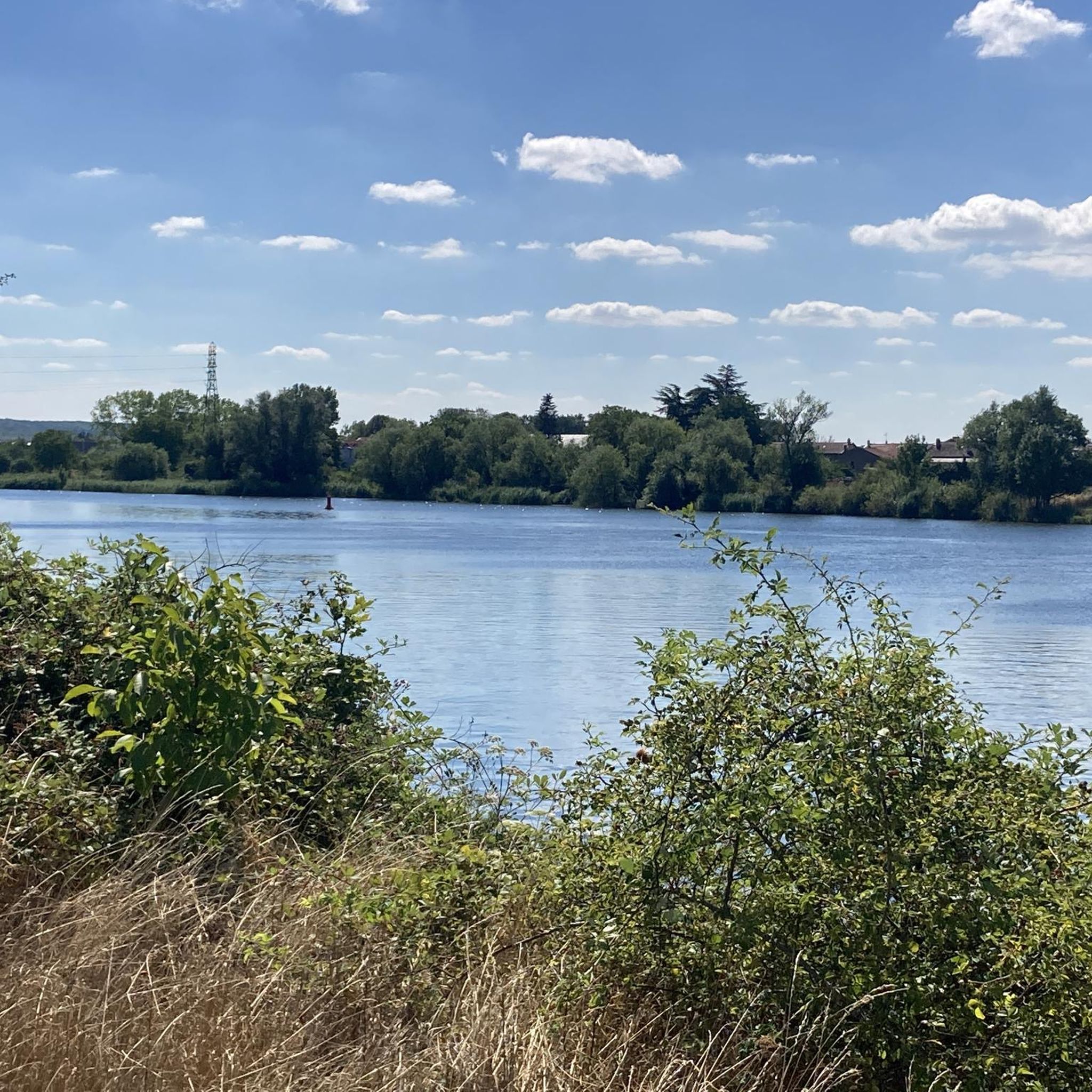
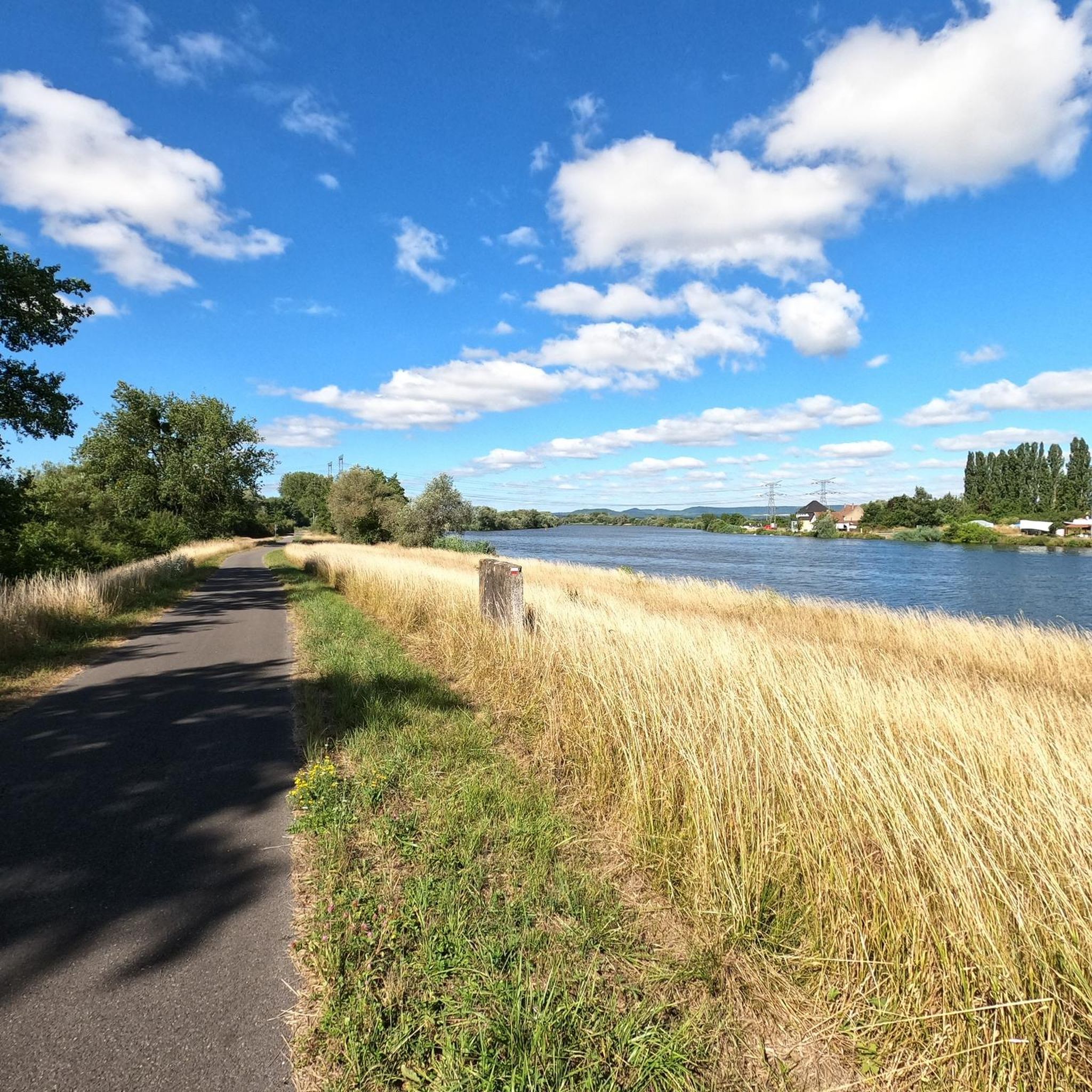
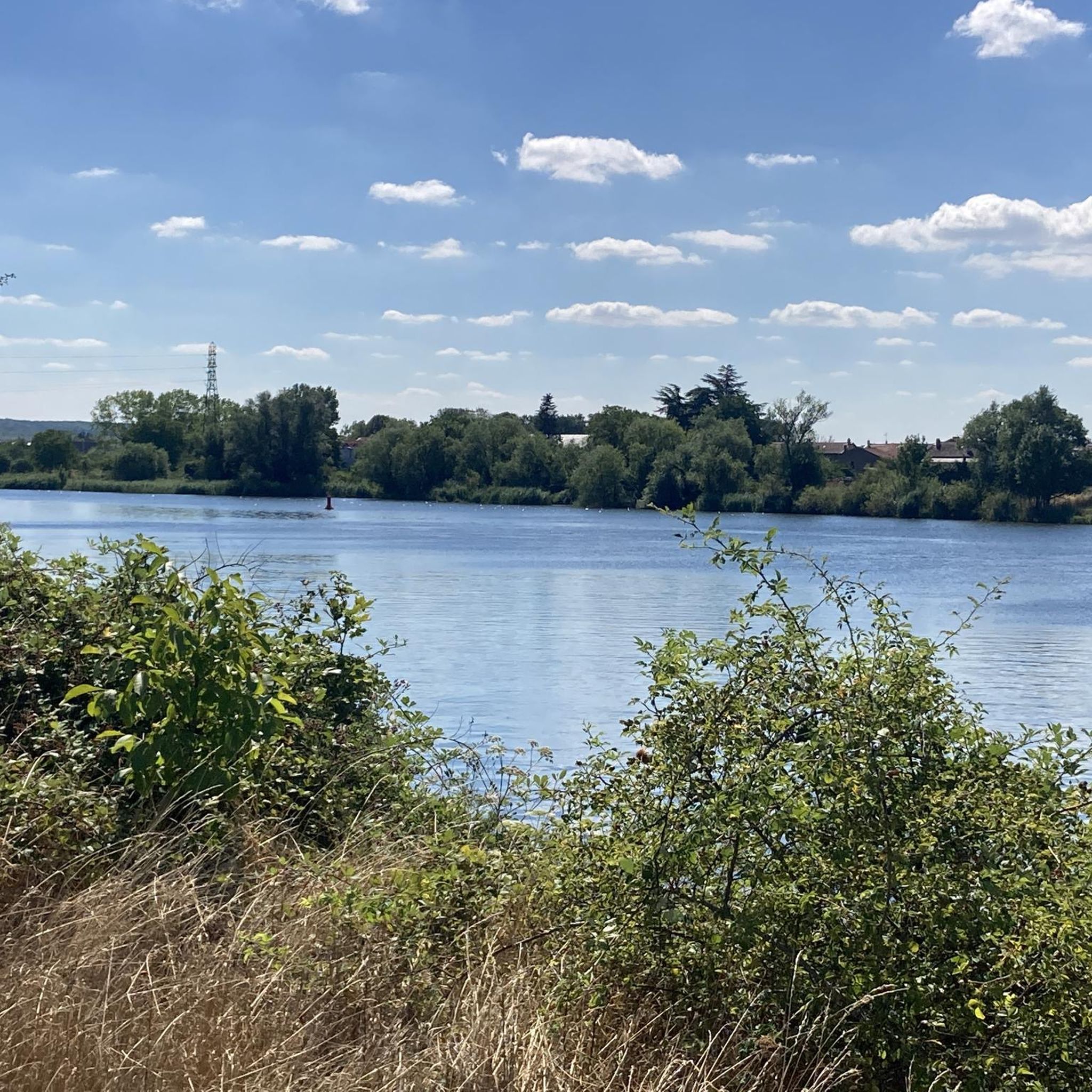
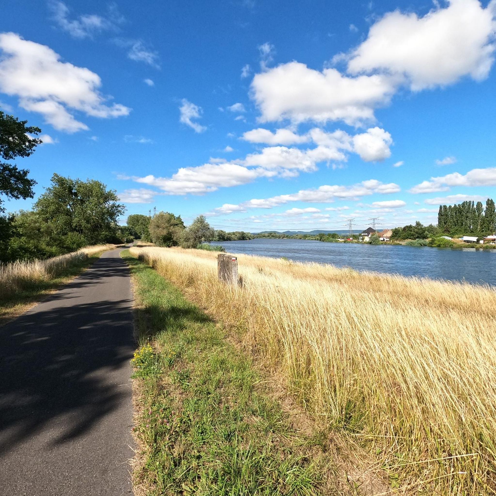
Tips from the Community

The cycle path rides really well
0
0

This is a spot with tracks going in all directions on old military trenches. There are transitions of all sizes and at least one small drop.
0
0

🛡️ **Ouvrage de Kobenbusch – Mighty Fortification of the Maginot Line** The **Ouvrage de Kobenbusch**, located south of Cattenom near the Luxembourg border, is one of the large underground fortifications of the **Maginot Line**. It was built between 1930 and 1935 and consisted of several combat blocks, underground connecting tunnels, a barracks, ammunition depots, and machine rooms – on several levels, anchored deep in the limestone. ⚙️ Particularly noteworthy: The technical systems were designed to be self-sufficient for months – including power generation, ventilation, a kitchen, and a hospital. The fort was occupied without a fight during World War II, continued to be used in part after the war, and is now privately owned. 🚷 It's **not open to the public**, but some ventilation towers and blockhouses are still visible in the forest near the D64 road (between Cattenom and Berg-sur-Moselle). **Tip:** For Maginot fans, a walk through the forest is worthwhile – with a little research, you'll find several bunker remains. Respect barriers, as some entrances are unstable or secured.
1
0
🛡️ **Ouvrage du Galgenberg – A Deep Look into the Maginot Line** The **Ouvrage de Galgenberg** is a large underground fortification of the **Maginot Line**, located south of Cattenom. It was built between 1930 and 1935 and served to defend the French border against Germany. The complex consists of several **combat bunkers**, **barracks**, **tunnels**, and **supply facilities** located deep underground. During the Cold War, the fort was modernized and remained in active use until the 1980s. 🔦 Today, it is accessible for guided tours (registration only), including a view of the original equipment: rails, power supply, ventilation systems, and gun emplacements. **Tip:** Ideal for military and history buffs – bring warm clothing, as it's chilly inside! Guided tours with former soldiers or experts are particularly impressive.
1
0
🧱 **Tour aux Puces** – Thionville's Oldest Building** The **Tour aux Puces** ("Powder Tower") is a medieval fortified tower dating back to the 11th century – and the oldest surviving building in the city. Originally part of a castle complex, it has served over time as a defense tower, a prison, and now houses a **City Museum** with an archaeological collection. 🏺 Inside, you'll find exhibits from Roman, medieval, and early modern periods – from ceramics to weapons to religious objects. The tower probably got its name from a mistranslation from German to French (“Powder Tower” became “Powder Tower”). **Tip:** The tower is cool and quiet – perfect on hot days. From the top, you have a small but excellent view over the old town. Combine it with the Belfry and the Église Saint-Maximin for a historical tour.
2
0

This emblematic 14-sided tower stands on a 2.5 to 3 m high circular foundation, in which many authors have suggested the remains of a Carolingian chapel. The tower is said to have actually been the keep of a castle built by the Counts of Luxembourg in the 16th century, corresponding to the size of the present castle courtyard. It served successively as a residence and last refuge in the event of an attack, as an armory, a prison, and finally, in 1905, as a museum.
2
0

Since 2024, overnight accommodation has also been available here. Ideal for groups, there are 18 beds.
2
0

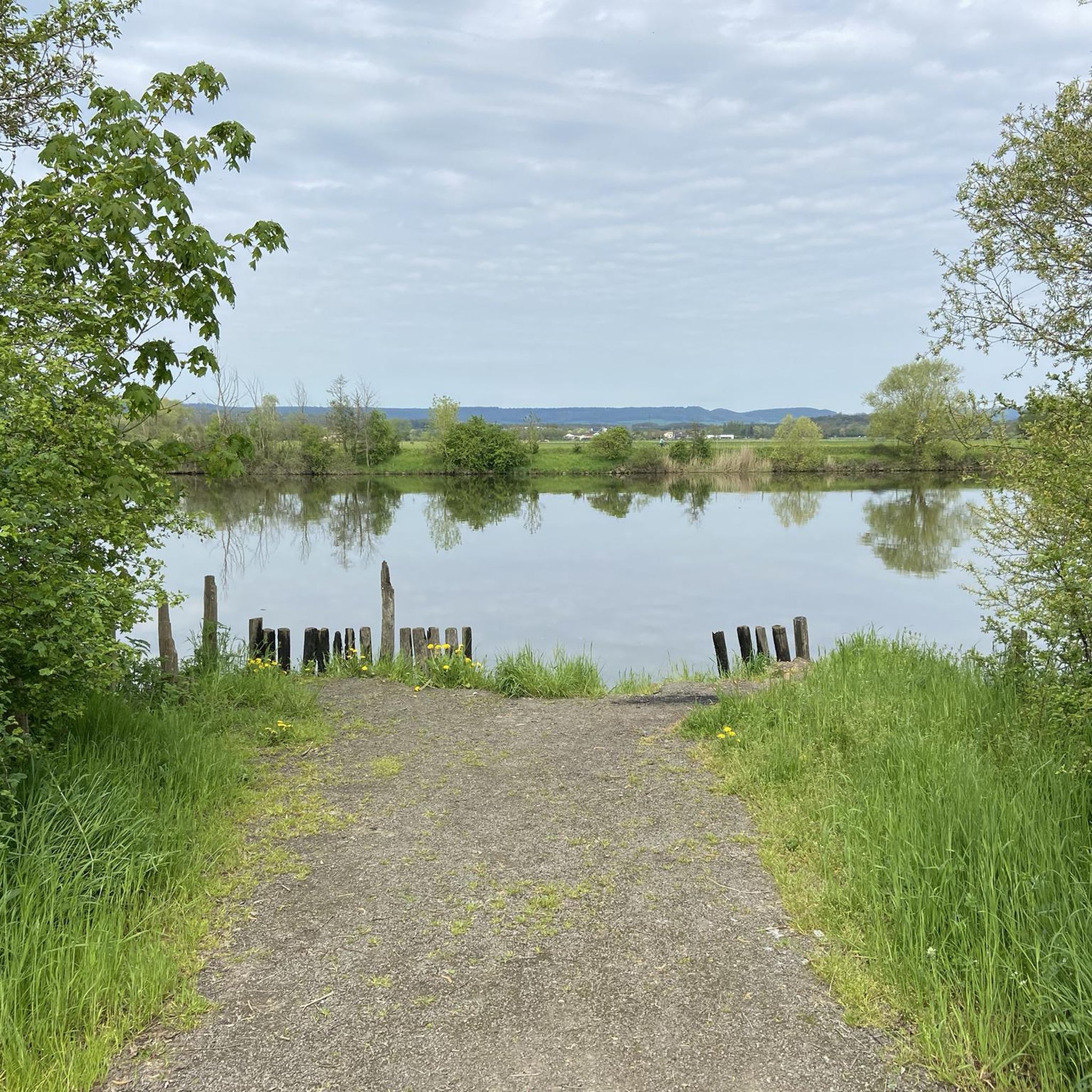
very peaceful place in the middle of the forest! to discover in every season
1
0
Frequently Asked Questions
How many gravel bike trails are available around Niederham?
There are over 80 gravel bike routes around Niederham, offering a wide variety of experiences. This includes more than 40 moderate routes and over 30 challenging options for experienced riders.
What kind of terrain can I expect on gravel bike trails in Niederham?
The routes around Niederham feature diverse terrain suitable for gravel biking, ranging from easier paths to more challenging ascents. You'll find a mix of surfaces that make for engaging off-road cycling.
Are there any long-distance gravel routes for extended rides?
Yes, for those looking for longer adventures, Niederham offers routes extending over 60 miles (100 km), providing extensive exploration opportunities and multi-hour rides.
What do other gravel bikers say about the trails in Niederham?
The gravel biking routes in Niederham are highly rated by the komoot community, with an average score of 4.4 stars from over 25 reviews. More than 300 gravel bikers have used komoot to explore the varied terrain, often praising the extensive network of routes and diverse options for all ability levels.
Are there any circular gravel bike routes around Niederham?
Many of the gravel routes around Niederham are designed as loops, allowing you to start and finish at the same point. For example, the challenging Lake at Yutz Aeroparc – Moulun loop from Stuckange is a great option, as is the moderate Richemont lock – Along the Moselle loop from Yutz.
What are some interesting landmarks or attractions I can see along the gravel routes?
You can discover several historical and scenic points of interest. Consider exploring the Castle of the Dukes of Lorraine or the impressive Rodemack Castle. The Ouvrage du Kobenbusch, a historical site, is also accessible.
Are there any routes suitable for beginners or those looking for an easier ride?
While many routes are moderate to difficult, there are options for easier rides. The region offers 4 easy routes, and many of the moderate trails can be enjoyed at a relaxed pace. For example, the Ouvrage du Kobenbusch – Passerelle de ľEurope loop from Thionville is a moderate route that offers a good balance.
Can I find routes that pass through towns or offer cafe stops?
While specific cafe stops are not detailed for every route, many trails, especially those that follow river paths or pass near settlements like Thionville, offer opportunities to find refreshments. The Passerelle de ľEurope – Old Lock Bridge loop from Thionville, for instance, starts and ends in a town where amenities are available.
Are there any routes that follow specific cycle paths or historical routes?
Yes, some routes incorporate established paths. The Moselle Cycle Route – Charles le Téméraire cycle route loop from Thionville is a great example, allowing you to ride along the Moselle and experience a well-known cycle route.
What is the most challenging gravel route in the area?
For a significant challenge, consider the Passerelle de ľEurope – Old Lock Bridge loop from Thionville. This route is nearly 100 km long with substantial elevation gain, making it one of the more demanding options for experienced gravel bikers.
Are there any viewpoints along the gravel trails?
Yes, you can find scenic viewpoints. For example, the View of Château des Ducs de Lorraine and Sierck-les-Bains offers a picturesque vista that could be incorporated into a ride.
Most popular attractions around Niederham

Get inspired with the komoot mobile app


Explore more
Browse the best Gravel rides in other regions.
