The best gravel rides around Enschweiler
3.0
(1)
15
riders
5
rides
Gravel biking around Enschweiler offers routes through a landscape characterized by rolling hills, forested sections, and open rural areas. The region features varied terrain, including paths near historical fortifications and quiet zones. Elevation gains on routes indicate a mix of challenging climbs and more gradual ascents, suitable for experienced gravel bikers. The area's network of trails provides opportunities to explore both natural and historical points of interest.
Best gravel bike trails around Enschweiler
- The most popular gravel bike trail is…
Last updated: August 26, 2026
4
riders
39.7km
02:49
440m
440m
Hard gravel ride. Good fitness required. You may need to push your bike for some segments of this route.
3
riders
36.6km
02:46
490m
490m
Hard gravel ride. Very good fitness required. Mostly paved surfaces. Suitable for all skill levels.

Sign up for free
2
riders
65.9km
04:16
590m
590m
Hard gravel ride. Very good fitness required. Mostly paved surfaces. Suitable for all skill levels.
3.0
(1)
3
riders
39.5km
02:32
440m
440m
Moderate gravel ride. Good fitness required. Mostly paved surfaces. Suitable for all skill levels.
1
riders
31.3km
01:59
260m
260m
Moderate gravel ride. Good fitness required. Mostly paved surfaces. Suitable for all skill levels.
Our route recommendations are based on thousands of hikes, rides, and runs completed by other people on komoot.
Start today with a free account
Your next adventure awaits.
Login or Signup
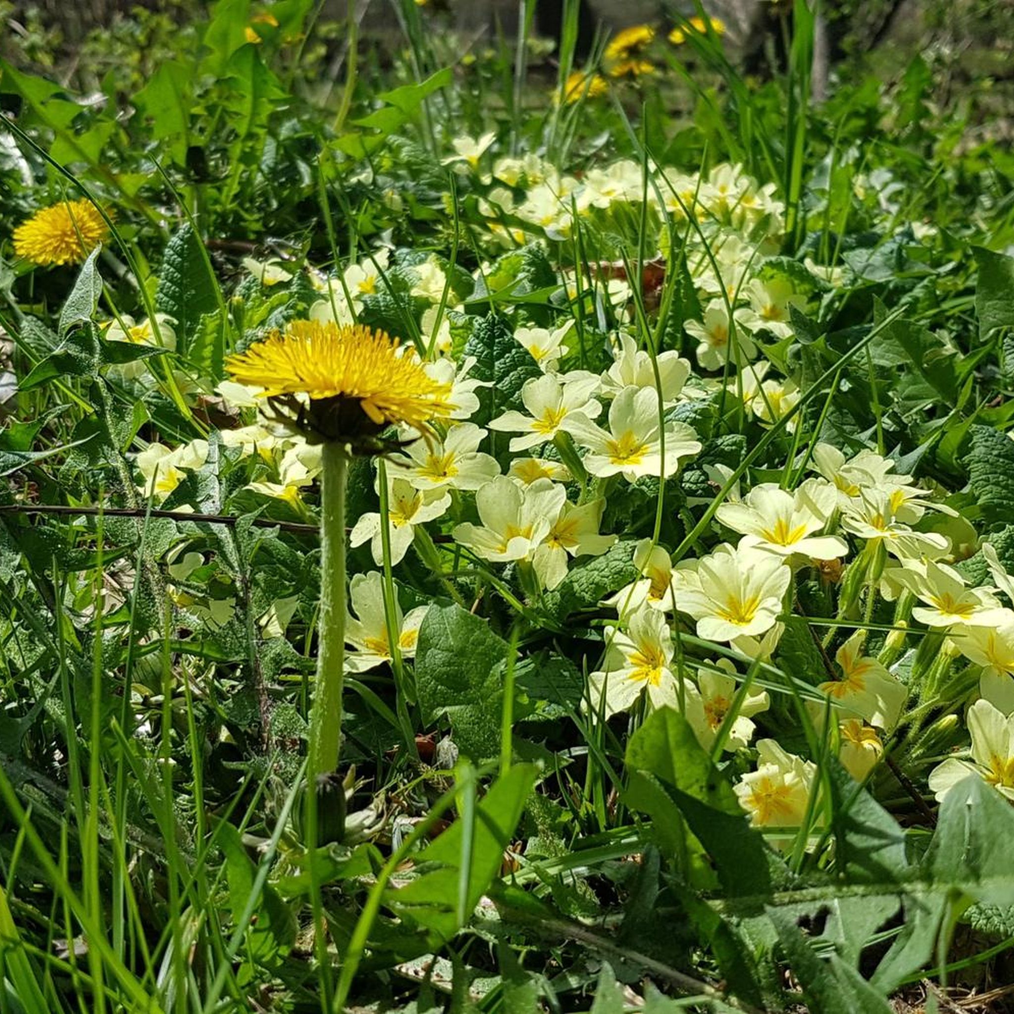
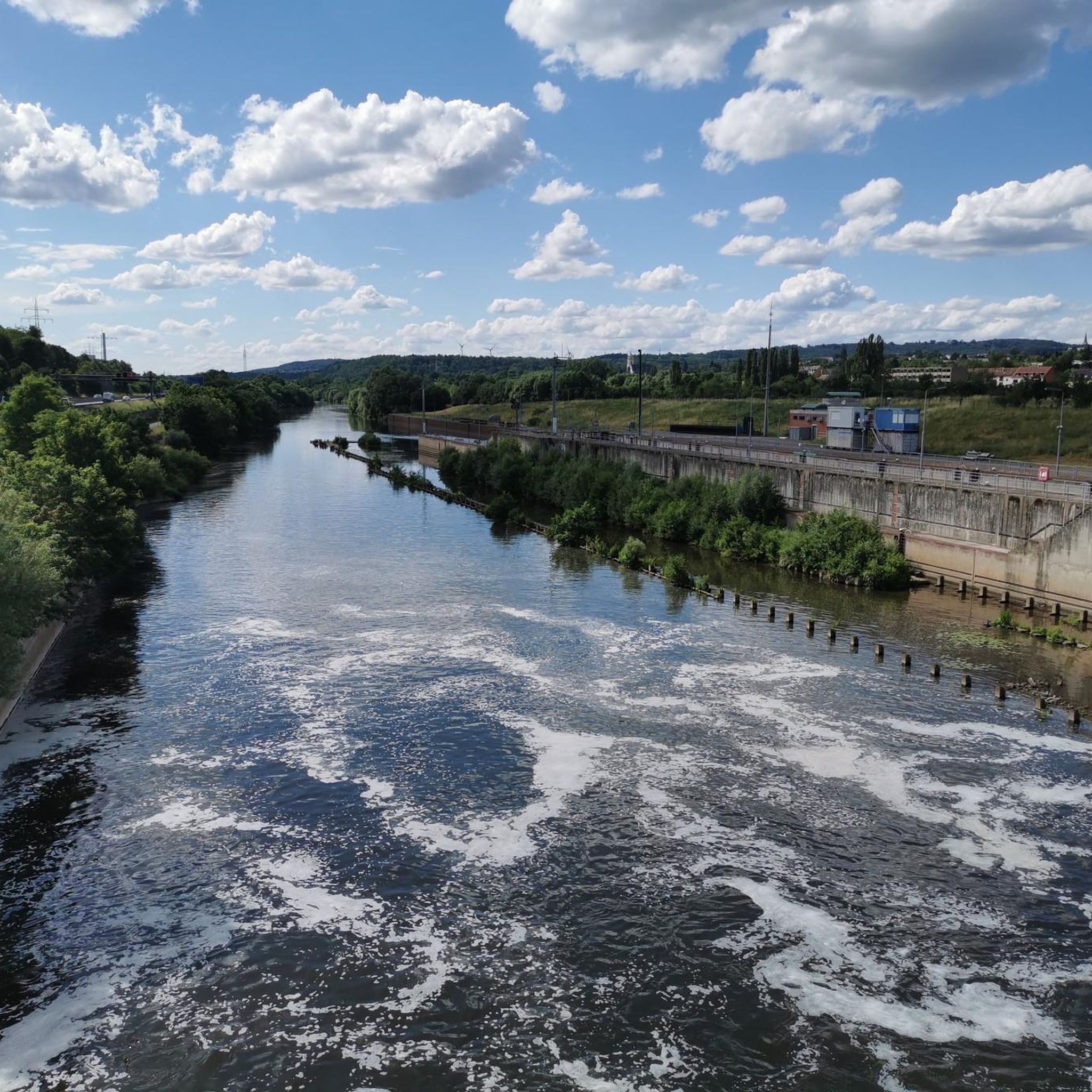

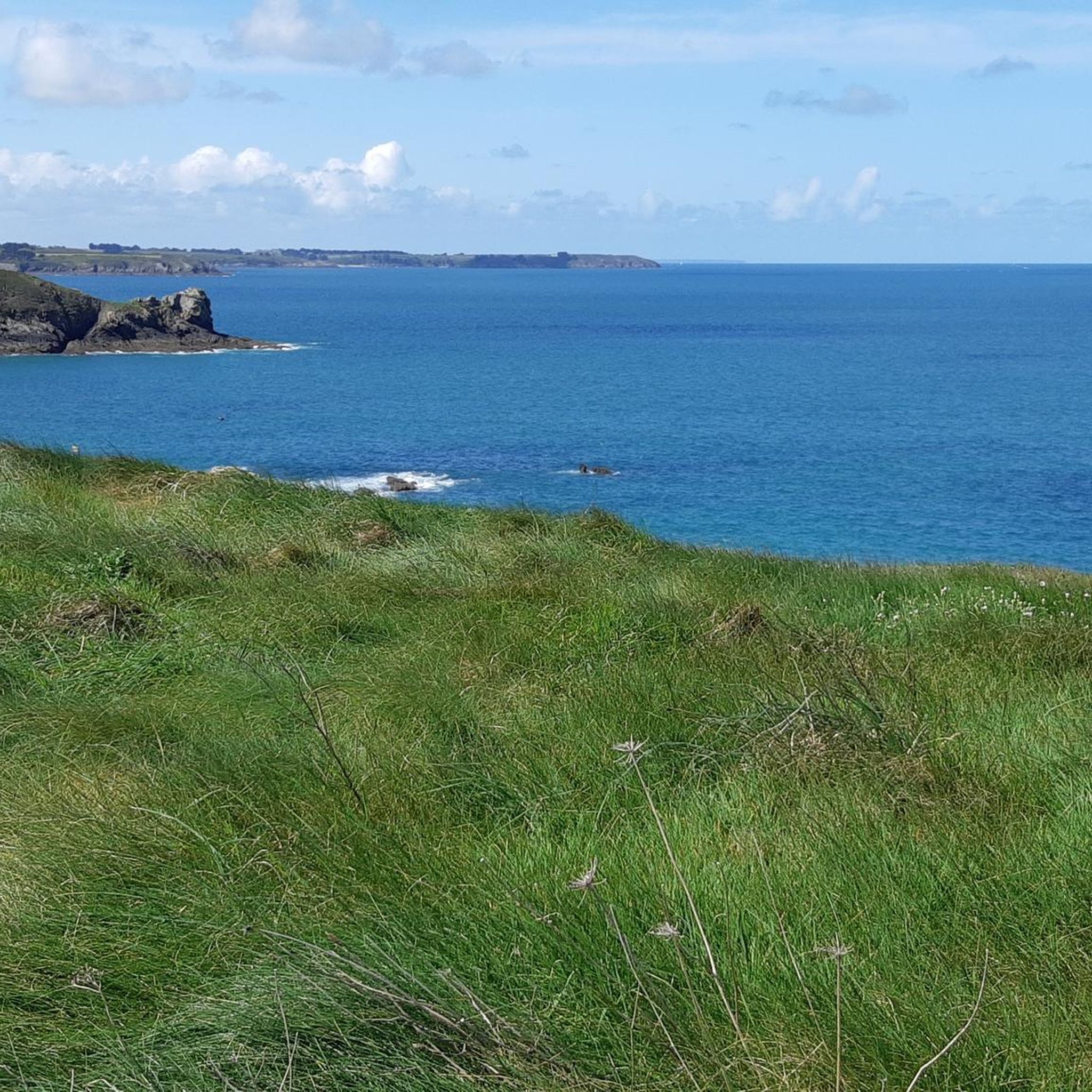
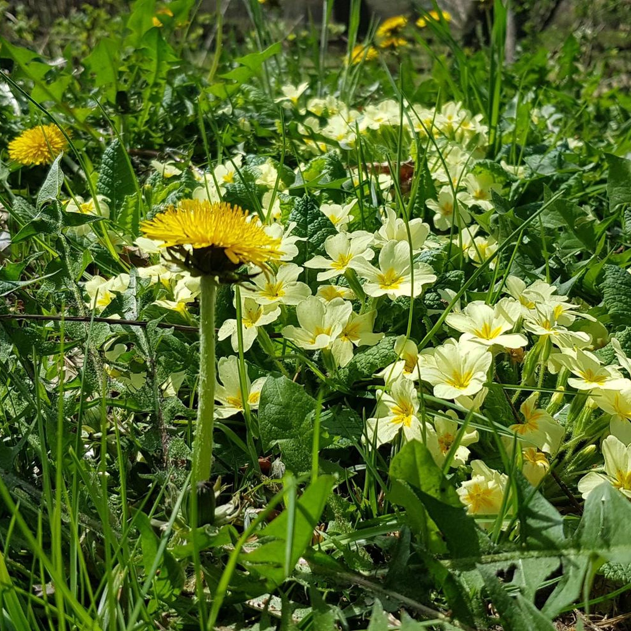
Tips from the Community

Monument to the fallen of both world wars 🕊
0
0

It’s a shame that some farmers plow sections of the road.
0
0

The Maginot Line: The French Wall | ARTE https://youtu.be/Bvtxa08ysgc For those who would like to know more about the Maginot Line: de.wikipedia.org/wiki/Liste_der_Ouvrages_der_Maginot-Linie
1
0

Excellent playground with many forest paths. Not far away, the Hussards hill has several mountain bike trails.
0
0

One of the large ponds in the area, here with a beautiful view 🇫🇷🛥️
0
0
Memorial to the fallen of the two world wars 🕊️
0
0

Entering the buildings prohibited 🚫
0
0
Frequently Asked Questions
How many gravel bike trails are available around Enschweiler?
There are 5 gravel bike routes documented around Enschweiler on komoot, offering a variety of experiences for different skill levels.
Are there any beginner-friendly gravel bike routes in Enschweiler?
While many routes around Enschweiler feature significant elevation gains, there are options that are classified as 'moderate' difficulty. For instance, the Harprich's storks – War Memorial and Clock Tower loop from Adelange is a moderate 20.6-mile (33.2 km) route with less elevation gain compared to others, making it a good choice for those looking for a less strenuous ride.
What kind of terrain can I expect on gravel bike trails in Enschweiler?
The terrain around Enschweiler is characterized by rolling hills, forested sections, and open rural areas. You'll encounter a mix of paths, including those near historical fortifications and quiet zones, providing varied surfaces for gravel biking.
Are there challenging gravel bike routes for experienced riders?
Yes, Enschweiler offers several challenging routes. The Ouvrage de l'Einseling – Silcence Zone loop from Teting is a difficult 24.6-mile (39.7 km) trail with significant elevation gain, passing by historical sites and providing a demanding ride.
What is the best time of year for gravel biking in Enschweiler?
The region's rolling hills and forested paths are generally enjoyable from spring through autumn. While specific winter conditions can vary, the varied terrain means that some routes may be accessible even in colder months, though caution is advised.
Are there any gravel bike routes that offer scenic viewpoints?
Many routes traverse open landscapes and elevated sections, providing scenic views of the surrounding countryside. The Silcence Zone – Ouvrage de l'Einseling loop from Teting, for example, offers a challenging ride through varied terrain, including forested sections and open landscapes that often reveal expansive vistas.
Are the gravel bike routes in Enschweiler typically loop trails?
Yes, all the gravel bike routes listed for Enschweiler are designed as loops, allowing you to start and finish at the same point without needing to arrange transport back.
What is the longest gravel bike route available in Enschweiler?
The longest gravel bike route is the Ouvrage de l'Einseling – Silcence Zone loop from Teting, which spans 24.6 miles (39.7 km) and typically takes around 3 hours and 22 minutes to complete.
What do other gravel bikers say about the routes in Enschweiler?
The gravel biking routes in Enschweiler are highly rated by the komoot community, with an average score of 3.25 stars from over 3 reviews. Riders often appreciate the varied terrain, including forested sections and open countryside, and the opportunities to explore historical points of interest.
Are there any routes that pass by historical sites or fortifications?
Yes, the region is known for its historical context. Routes like the Ouvrage de l'Einseling – Crossroads Oderfang loop from Faulquemont lead through rural areas and past key junctions, often near historical fortifications, offering a blend of natural beauty and historical exploration.
Is parking generally available near the starting points of these routes?
While specific parking information for each route is best checked on the individual tour page, many routes around Enschweiler originate from towns like Teting or Faulquemont, where public parking options are typically available.
Most popular routes around Enschweiler

Get inspired with the komoot mobile app


Explore more
Browse the best Gravel rides in other regions.
