The best gravel rides around Autry
12
riders
10
rides
Gravel biking around Autry offers routes through a landscape characterized by rolling hills and rural paths. The region features varied terrain, including forested sections and open countryside, with notable elevation changes across its trails. These routes often connect historical points of interest and provide a diverse experience for gravel cyclists.
Best gravel bike trails around Autry
- The most popular gravel bike trail is Autry Campsite – Continue from Condé to Servon loop from Chatel-Chéhéry, a 25.0 miles (40.3 km)…
Last updated: July 3, 2026
2
riders
40.3km
02:44
450m
450m
Moderate gravel ride. Good fitness required. Mostly paved surfaces. Suitable for all skill levels.
1
riders
46.2km
03:02
540m
530m
Hard gravel ride. Very good fitness required. Mostly paved surfaces. Suitable for all skill levels.

Sign up for free
2
riders
68.6km
04:49
770m
760m
Hard gravel ride. Very good fitness required. Mostly paved surfaces. Suitable for all skill levels.
1
riders
67.9km
04:33
770m
760m
Hard gravel ride. Very good fitness required. Mostly paved surfaces. Suitable for all skill levels.
1
riders
67.4km
04:20
830m
820m
Hard gravel ride. Very good fitness required. Mostly paved surfaces. Suitable for all skill levels.
Get access to more routes and recommendations from other explorers.
Sign up for free
Already have an account?
Our route recommendations are based on thousands of hikes, rides, and runs completed by other people on komoot.
Start today with a free account
Your next adventure awaits.
Login or Signup

Tips from the Community

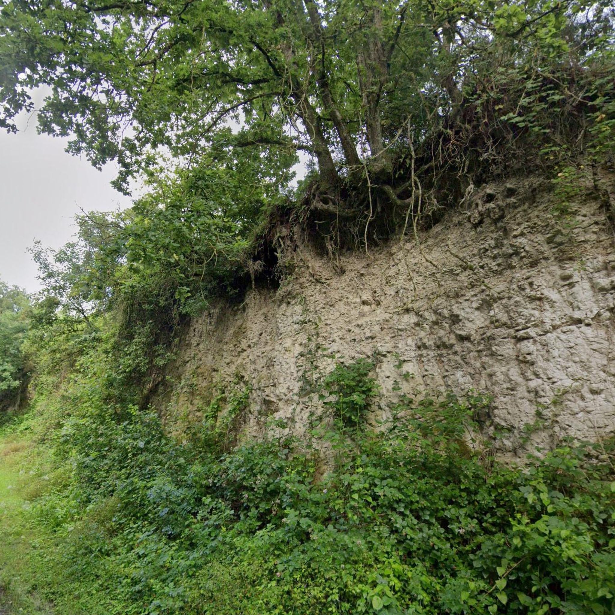
At this location, deep in the Argonne Forest, a unit of the American 77th Division was surrounded by German troops on October 2, 1918. For five days, the so-called Lost Battalion held out under difficult conditions, cut off from supplies and communications. Only a third of the soldiers survived.
7
0
The Lost Battalion Memorial is located in the Charlevaux Ravine near Binarville, on the D66, and commemorates the heroic struggle of some 554 American soldiers of the 77th Infantry Division who were surrounded by German troops during the Meuse-Argonne Offensive in October 1918. Led by Major Charles Whittlesey, these men held out for six days, cut off from supplies and communications, with only carrier pigeons as a means of contact. The most famous of these, Cher Ami, saved the battalion by delivering a crucial message despite being wounded, which stopped friendly fire.
8
0
Just outside Binarville, at the crossroads of the D21 and D66, the Monument "Aux Morts du 9e Régiment de Cuirassiers" commemorates the courage of the French cavalrymen who fell in 1918 during the fierce fighting in the Argonne. Once proudly mounted on horseback, these cuirassiers fought on foot in the dense forests surrounding the village, leaving a lasting legacy of bravery and sacrifice. This silent, powerful memorial is an unexpected stopover full of history in the heart of the countryside. 🪖🌲
7
0
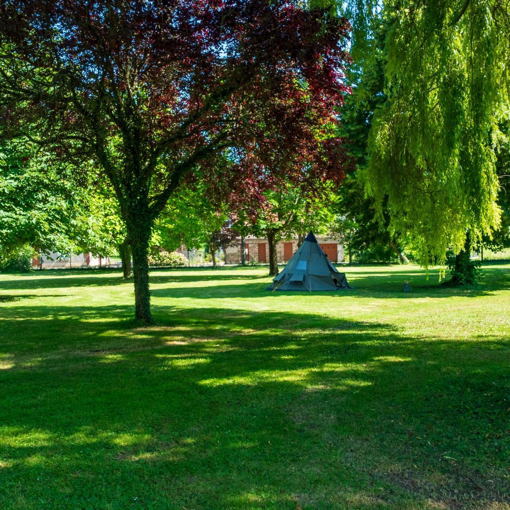
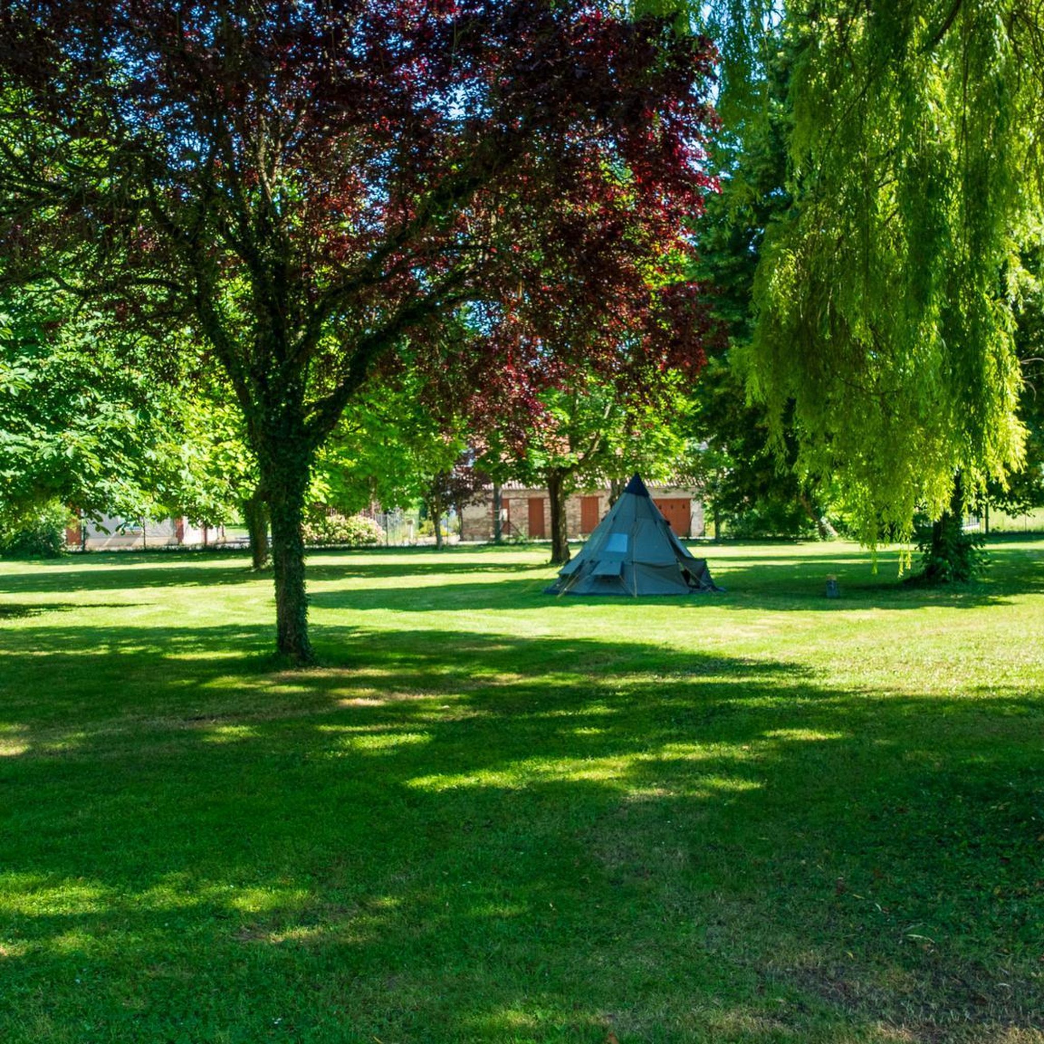
Super quiet campsite with everything you need, but no extras. Shouldn't be for that price.
9
0
Cunel is a commune in the Meuse department of France, in the Grand Est region. It has about 50 inhabitants and an area of 9.64 km². It is located on the River Aire and is part of the canton of Clermont-en-Argonne. Cunel has a tragic history, linked to the First World War. The village was completely destroyed during the Battle of Verdun in 1916, when it was one of the targets of the German attack. The village was later rebuilt at a different location, approximately 500 meters from the original site. One of the monuments that recall this period is the Monument aux Morts, a memorial to the fallen soldiers, designed by the sculptor Paul Moreau-Vauthier.
5
0
Romagne-sous-Montfaucon was heavily fought over in the First World War. The small museum is definitely worth it. Owner and driving force is the Dutchman Jean-Paul de Vries
7
0
This small German cemetery is in stark contrast to the American one a little further on. The German Military Cemetery in Romagne-sous-Montfaucon, also known as Deutscher Soldatenfriedhof Romagne-sous-Montfaucon and Romagne-sous-Montfaucon Cimetière Militaire Allemand, was established in 1914 at the start of the First World War, but saw its heaviest use during the Battle of Verdun in 1916. The cemetery is located 220 meters north of the village center along the road to Bantheville. It contains 1,407 German and eight French soldiers who fell during the First World War in northwestern France.
6
0
The Château de Marcq, also known as Château Mercier, is located in the municipality of Marcq, in the Ardennes department of France. The castle was built by the master blacksmith Nicolas Deruë. The gate of the castle bears the date 1760, which probably corresponds to the year in which the building was built1. The oldest plan is a facade view of the courtyard, made at the end of the 18th century for the addition of two side pavilions
5
0
Frequently Asked Questions
How many gravel bike trails are available around Autry?
There are 11 gravel bike routes documented on komoot for the Autry region. These routes offer a variety of experiences, from moderate to difficult, catering to different skill levels.
What is the typical difficulty level for gravel biking in Autry?
Gravel biking around Autry is characterized by routes of moderate to difficult ability levels. While there are 3 moderate routes, the majority (8 routes) are classified as difficult, featuring significant elevation changes and varied terrain.
Are there any beginner-friendly gravel bike trails in Autry?
While many routes in Autry are rated as difficult, there are 3 moderate routes that might be more suitable for beginners or those looking for a less strenuous ride. These routes still involve rolling hills and rural paths, so a basic level of fitness is recommended.
What are the average distances and durations for gravel bike routes in Autry?
The gravel bike routes in Autry vary significantly in length and duration. For example, the Autry Campsite – Continue from Condé to Servon loop from Chatel-Chéhéry is about 25 miles (40.3 km) and takes around 2 hours 42 minutes, while the La Samaritaine Campsite – Mercier Castle loop from Cornay stretches to 42.6 miles (68.6 km) and can take over 5 hours to complete.
Are there any circular gravel bike routes around Autry?
Yes, many of the gravel bike routes in Autry are designed as loops, offering a convenient way to start and finish your ride in the same location. Examples include the Château de Grandpré – Grandpré loop from Cornay and the La Samaritaine Campsite – Château de Grandpré loop from Cornay.
What kind of scenery can I expect on gravel bike trails in Autry?
The gravel bike trails around Autry offer diverse scenery, characterized by rolling hills, rural paths, and forested sections. You'll often find yourself cycling through open countryside, past historical sites, and near charming villages, providing a rich visual experience.
Are there any historical sites or landmarks along the gravel bike routes?
Yes, the routes often connect historical points of interest. For instance, the Château de Grandpré – Grandpré loop from Cornay traverses sections near the historic Château de Grandpré. Other notable attractions in the wider area include the village of Grandpré and the Sergeant York trail.
What do other gravel bikers enjoy most about the Autry region?
Komoot users who have explored Autry's gravel trails often appreciate the varied terrain, which includes both forested sections and open countryside. The routes are known for their rolling hills and rural paths, offering a diverse and engaging cycling experience.
What is the longest gravel bike route available in Autry?
The longest gravel bike route documented in Autry is the La Samaritaine Campsite – Mercier Castle loop from Cornay, which covers a distance of 42.6 miles (68.6 km) and typically takes around 5 hours 43 minutes to complete.
Are there any routes that pass through or near specific towns or villages?
Many routes originate from or pass near local villages. For example, the Romagne-sous-Montfaucon – Grandpré loop from Cornay starts from Cornay and explores the areas around Romagne-sous-Montfaucon and Grandpré, allowing you to experience the local rural charm.
What kind of terrain should I expect on the more difficult gravel routes?
The more difficult gravel routes in Autry, such as the La Samaritaine Campsite – Château de Grandpré loop from Cornay, feature significant elevation changes and a mix of surfaces. Expect challenging climbs through rolling hills, along rural paths, and through forested areas, requiring good bike handling skills and stamina.
Most popular attractions around Autry

Get inspired with the komoot mobile app


Explore more
Browse the best Gravel rides in other regions.
