The best gravel rides around Boust
4.4
(43)
302
riders
61
rides
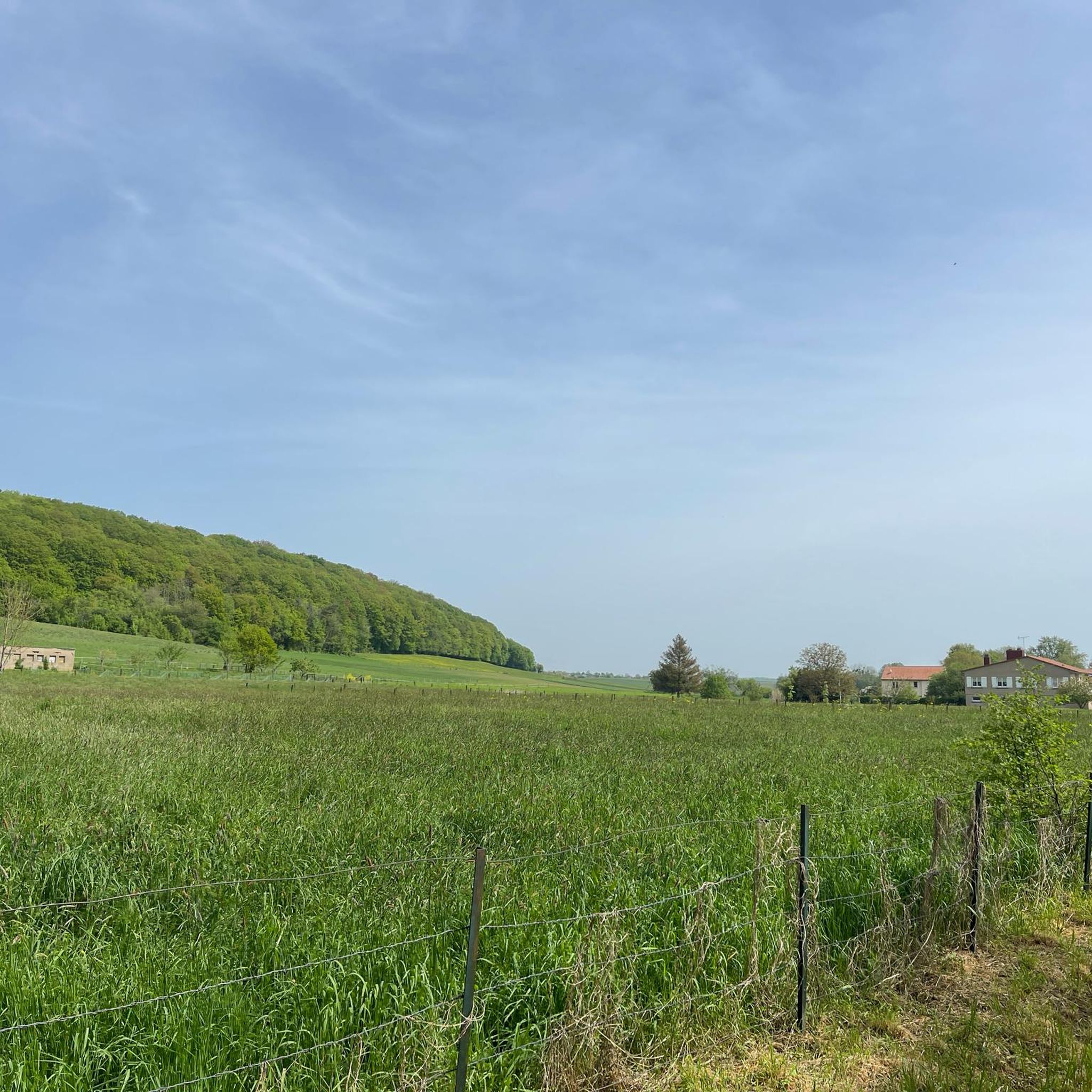
Gravel biking around Boust offers a diverse landscape for riders, characterized by varied terrain and natural features. The region features a network of routes that traverse forests and open areas, with elevation gains that include both gentle ascents and more sustained climbs. While some routes feature hills under 200 meters, others present more significant elevation changes, providing a range of experiences for gravel bikers. The area's trails are suitable for exploring the local environment.
Best gravel bike trails around Boust
…Last updated: July 3, 2026
4.0
(2)
24
riders
Moderate gravel ride. Good fitness required. Mostly paved surfaces. Suitable for all skill levels.
8
riders
12.8km
00:58
190m
190m
Moderate gravel ride. Good fitness required. Mostly paved surfaces. Suitable for all skill levels.

Sign up for free
5.0
(1)
16
riders
Moderate gravel ride. Good fitness required. Mostly paved surfaces. Suitable for all skill levels.
10
riders
23.7km
01:55
270m
270m
Moderate gravel ride. Good fitness required. Mostly paved surfaces. Suitable for all skill levels.
13
riders
Moderate gravel ride. Good fitness required. Mostly paved surfaces. Suitable for all skill levels.
Get access to more routes and recommendations from other explorers.
Sign up for free
Already have an account?
Our route recommendations are based on thousands of hikes, rides, and runs completed by other people on komoot.
Start today with a free account
Your next adventure awaits.
Login or Signup
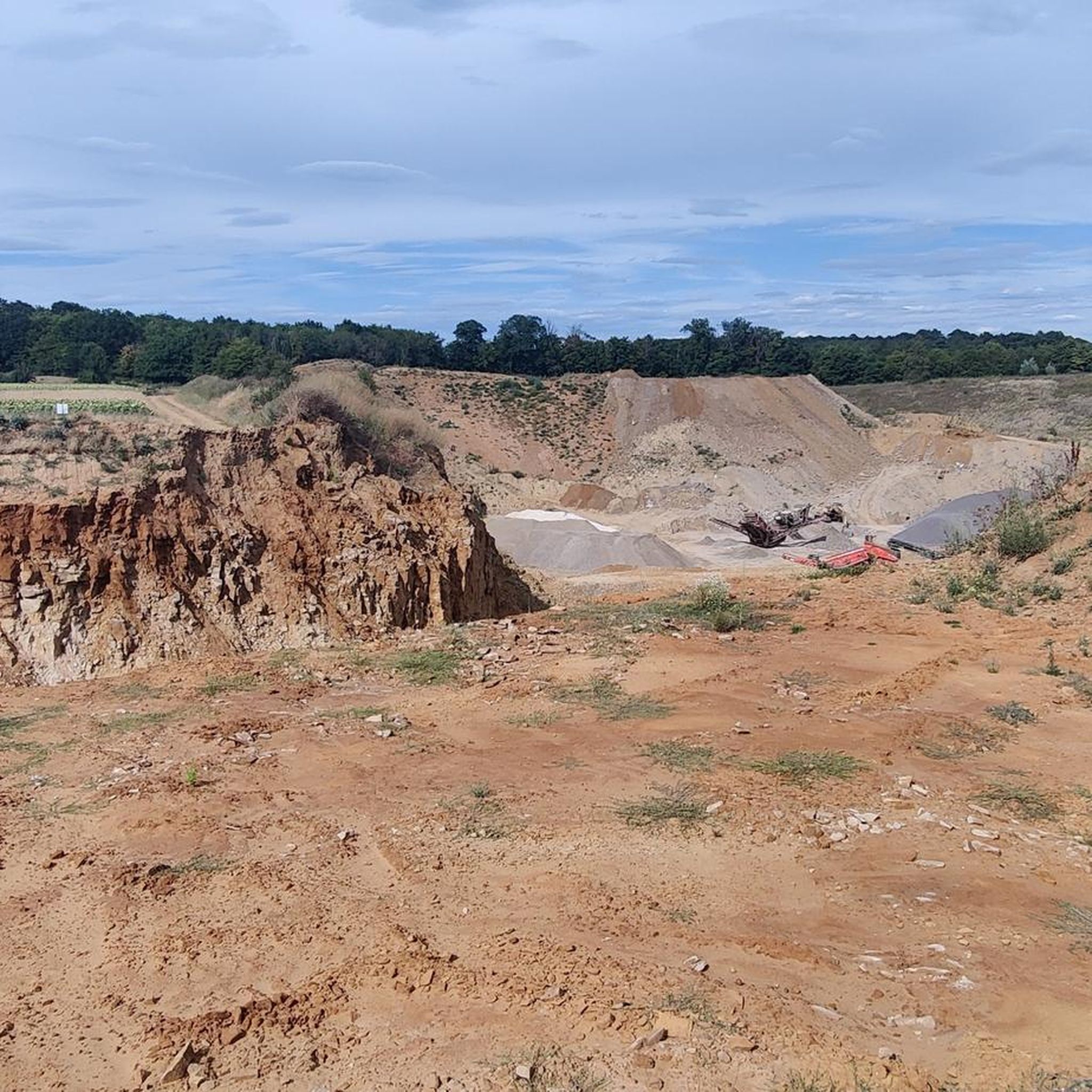
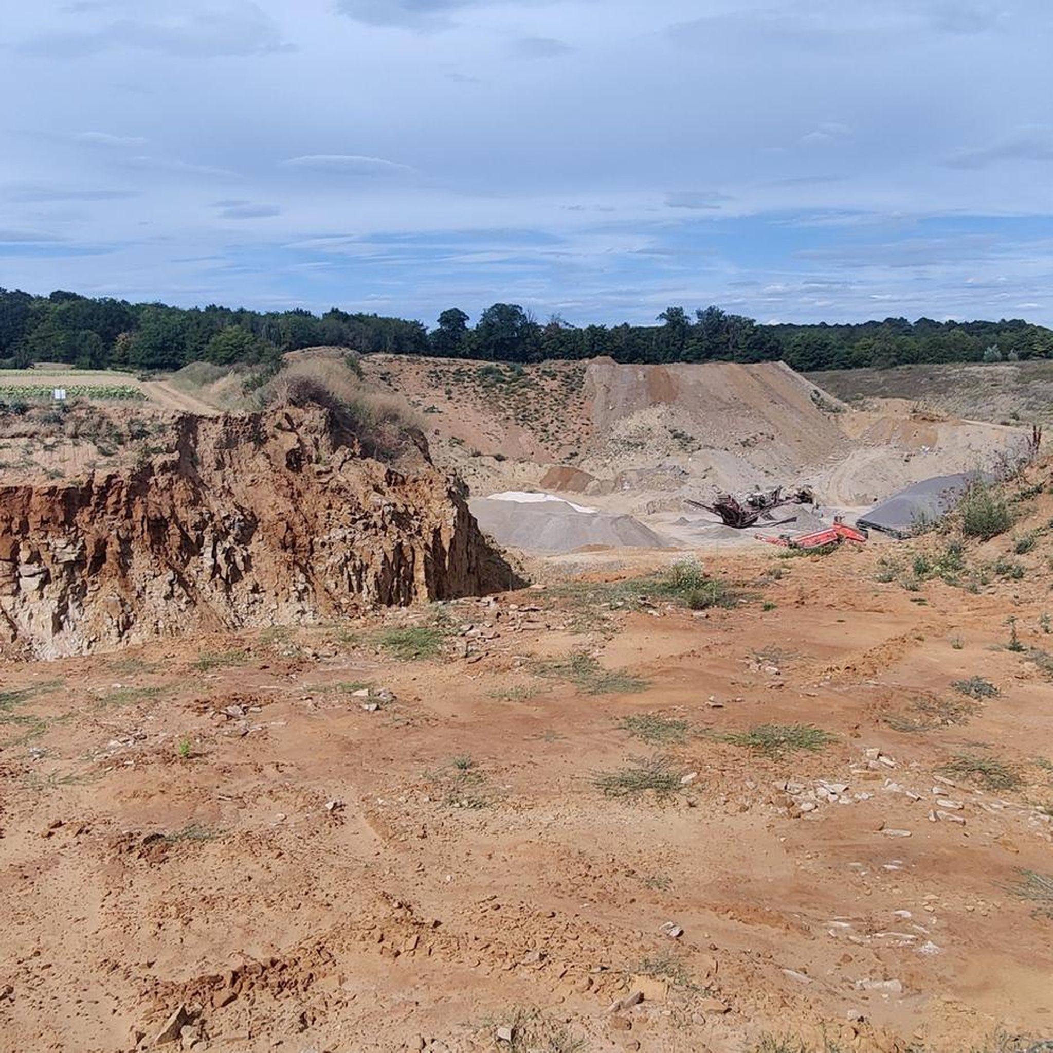
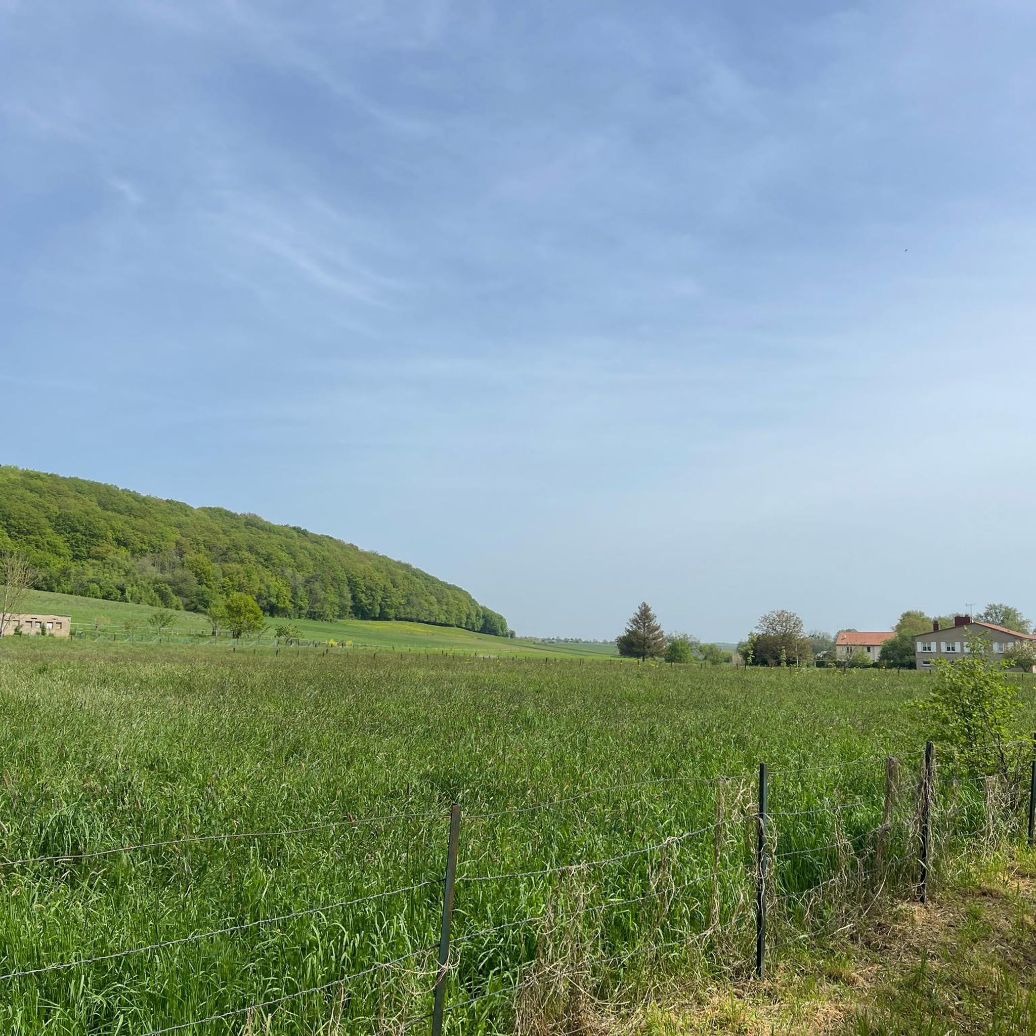
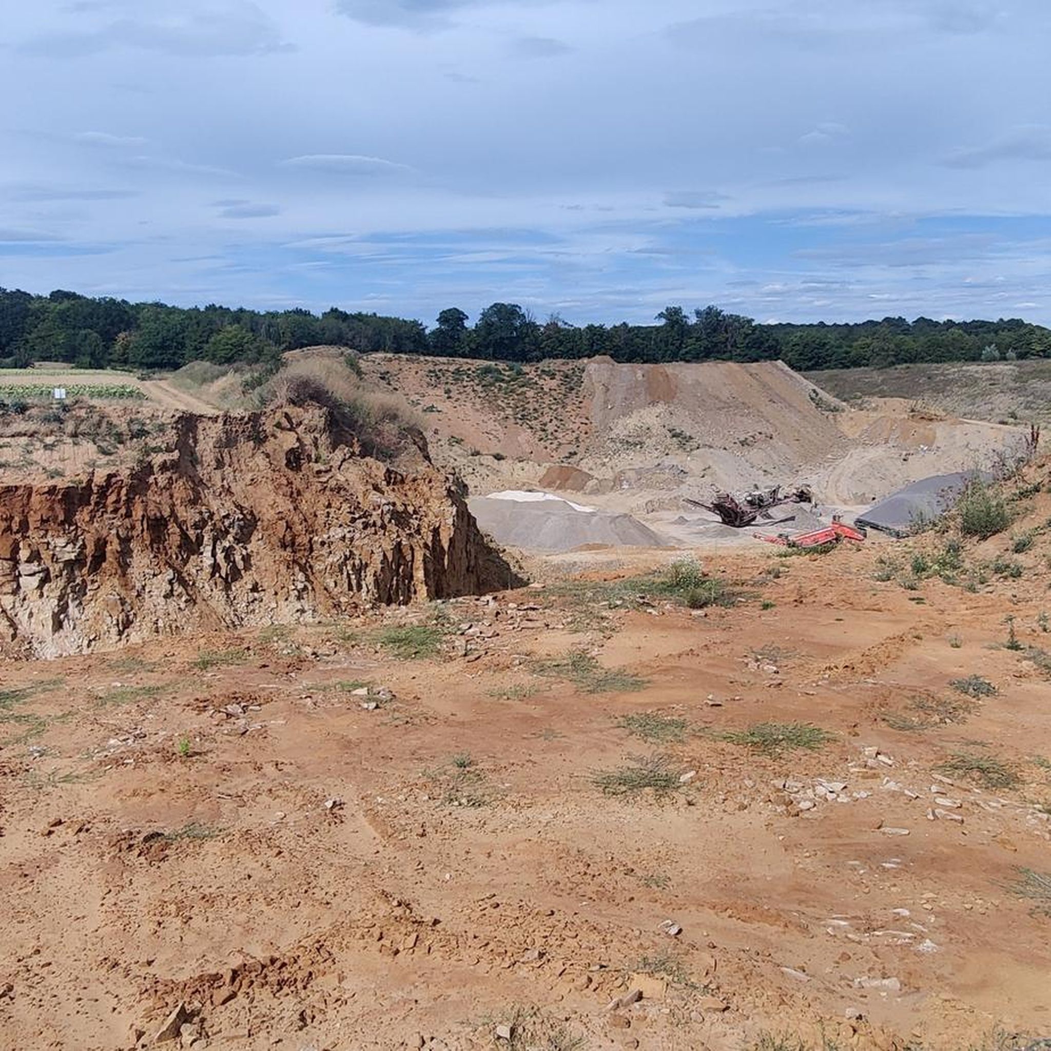
Tips from the Community

Funny Captions to Read on the Bulletin Board
0
0

🛡️ **Ouvrage de Kobenbusch – Mighty Fortification of the Maginot Line** The **Ouvrage de Kobenbusch**, located south of Cattenom near the Luxembourg border, is one of the large underground fortifications of the **Maginot Line**. It was built between 1930 and 1935 and consisted of several combat blocks, underground connecting tunnels, a barracks, ammunition depots, and machine rooms – on several levels, anchored deep in the limestone. ⚙️ Particularly noteworthy: The technical systems were designed to be self-sufficient for months – including power generation, ventilation, a kitchen, and a hospital. The fort was occupied without a fight during World War II, continued to be used in part after the war, and is now privately owned. 🚷 It's **not open to the public**, but some ventilation towers and blockhouses are still visible in the forest near the D64 road (between Cattenom and Berg-sur-Moselle). **Tip:** For Maginot fans, a walk through the forest is worthwhile – with a little research, you'll find several bunker remains. Respect barriers, as some entrances are unstable or secured.
1
0
🛡️ **Ouvrage du Galgenberg – A Deep Look into the Maginot Line** The **Ouvrage de Galgenberg** is a large underground fortification of the **Maginot Line**, located south of Cattenom. It was built between 1930 and 1935 and served to defend the French border against Germany. The complex consists of several **combat bunkers**, **barracks**, **tunnels**, and **supply facilities** located deep underground. During the Cold War, the fort was modernized and remained in active use until the 1980s. 🔦 Today, it is accessible for guided tours (registration only), including a view of the original equipment: rails, power supply, ventilation systems, and gun emplacements. **Tip:** Ideal for military and history buffs – bring warm clothing, as it's chilly inside! Guided tours with former soldiers or experts are particularly impressive.
1
0

Rolling gravel passage, a delight!
0
0

Slightly hidden at the end of the street "Impasse du vieux pont"
1
0

Free tokens are available at the tourist information office or you can insert 50 cents. Many thanks to those responsible for setting up this beautiful station.
1
0


In Dudelange, at the start and end point of the RedRock Mountainbike Trails Haard Red & Black, you can wash your mountain bike. The station is right next to the Barozzi Stadium, rue Reiteschopp, and works with the help of tokens. You can get the tokens for free at: Syndicat d'initiative et de Tourisme de Dudelange (17, rue du Commerce L-3450 Dudelange, T +352 26 52 26 20 | info@visitdudelange.lu)
2
0
Frequently Asked Questions
How many gravel bike trails are available around Boust?
There are over 85 gravel biking routes around Boust, offering a wide range of options for different skill levels. This includes 2 easy routes, 49 moderate routes, and 34 difficult routes, ensuring there's a trail for every rider.
What kind of terrain can I expect on gravel bike trails in Boust?
Gravel biking around Boust features diverse terrain, including forested paths and open landscapes. You'll encounter varied elevation profiles, from gentle ascents to more sustained climbs. The region's trails offer a mix of surfaces suitable for gravel bikes.
Are there any family-friendly gravel bike trails in Boust?
While the guide primarily lists moderate and difficult routes, the region does offer some easier options. For example, the Forest Trail – Dudelange Water Tower loop from Dudelange-Usines is a moderate 12.8 km path that winds through forested areas, offering a shorter ride suitable for those looking for a less strenuous outing. Always check the route details for specific suitability.
What do other gravel bikers enjoy most about the trails in Boust?
The gravel biking routes in Boust are highly rated by the komoot community, with an average score of 4.1 stars from over 50 reviews. Riders often praise the varied terrain, the scenic forested paths, and the range of options available for different ability levels.
Are there any circular gravel bike routes around Boust?
Yes, many of the gravel bike trails around Boust are designed as loops. For instance, the popular Tomb of the Cavalier – La Borne des Quatre Seigneurs loop from Dudelange-Usines is a 34.1 km circular route, and the Forêt Domaniale de Garche – Ouvrage du Kobenbusch loop from Breistroff-la-Grande is another excellent loop option.
What are some notable landmarks or attractions I can see along the gravel bike trails?
The Boust region is rich in historical and natural attractions. You can explore several castles, such as Rodemack Castle or the Château de Preisch gate. Natural highlights include the Mondorf-les-Bains Thermal Park and the Red Cliff of the Former Iron Mine, offering diverse points of interest during your ride.
Are there any routes with significant elevation gain for advanced riders?
Yes, for advanced riders seeking more challenging climbs, routes like the Trolljagd Trail – Op der Haardt Cliff, Dudelange loop from Volmerange-les-Mines offer significant elevation changes, with nearly 450 meters of ascent over its 30.8 km distance. These routes provide a more strenuous experience with rewarding views.
What is the typical duration for a gravel bike ride in Boust?
Ride durations vary significantly depending on the route and your pace. Shorter, moderate routes like the Forest Trail – Dudelange Water Tower loop from Dudelange-Usines can be completed in under an hour, while longer, more challenging trails such as the Trolljagd Trail – Dudelange Radio Tower loop from Escherange might take around 2.5 hours or more.
Are there any gravel routes that offer scenic viewpoints?
Many routes in the Boust area traverse varied landscapes that offer scenic views. The region is known for its picturesque natural features, including views of Vichy and the Allier river, as well as expansive forested areas. Keep an eye out for viewpoints along trails that climb to higher elevations.
What are the easiest gravel bike trails for beginners in Boust?
While most listed routes are moderate, there are a few easier options. The region's terrain includes gentle ascents and descents, with some routes featuring elevation gains under 200 meters. Look for routes described as 'easy' or shorter 'moderate' loops if you're a beginner, and always check the elevation profile before you go.
Can I find gravel bike trails that pass through forested areas?
Absolutely. Gravel biking around Boust is largely defined by its forested paths. Many routes, such as the Forest Trail – Dudelange Water Tower loop from Dudelange-Usines and the Forêt Domaniale de Garche – Ouvrage du Kobenbusch loop from Breistroff-la-Grande, wind through dense woodlands, offering shaded and scenic riding experiences.
Most popular attractions around Boust

Get inspired with the komoot mobile app


Explore more
Browse the best Gravel rides in other regions.
