The best gravel rides around Großtänchen
5.0
(1)
42
riders
12
rides
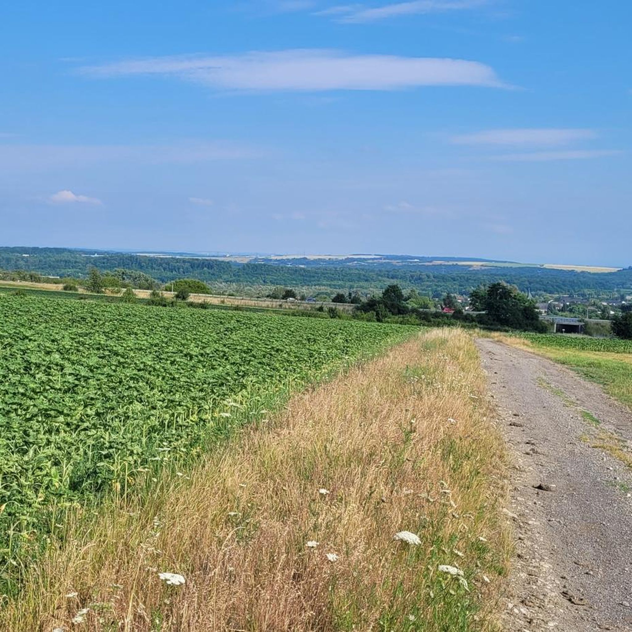
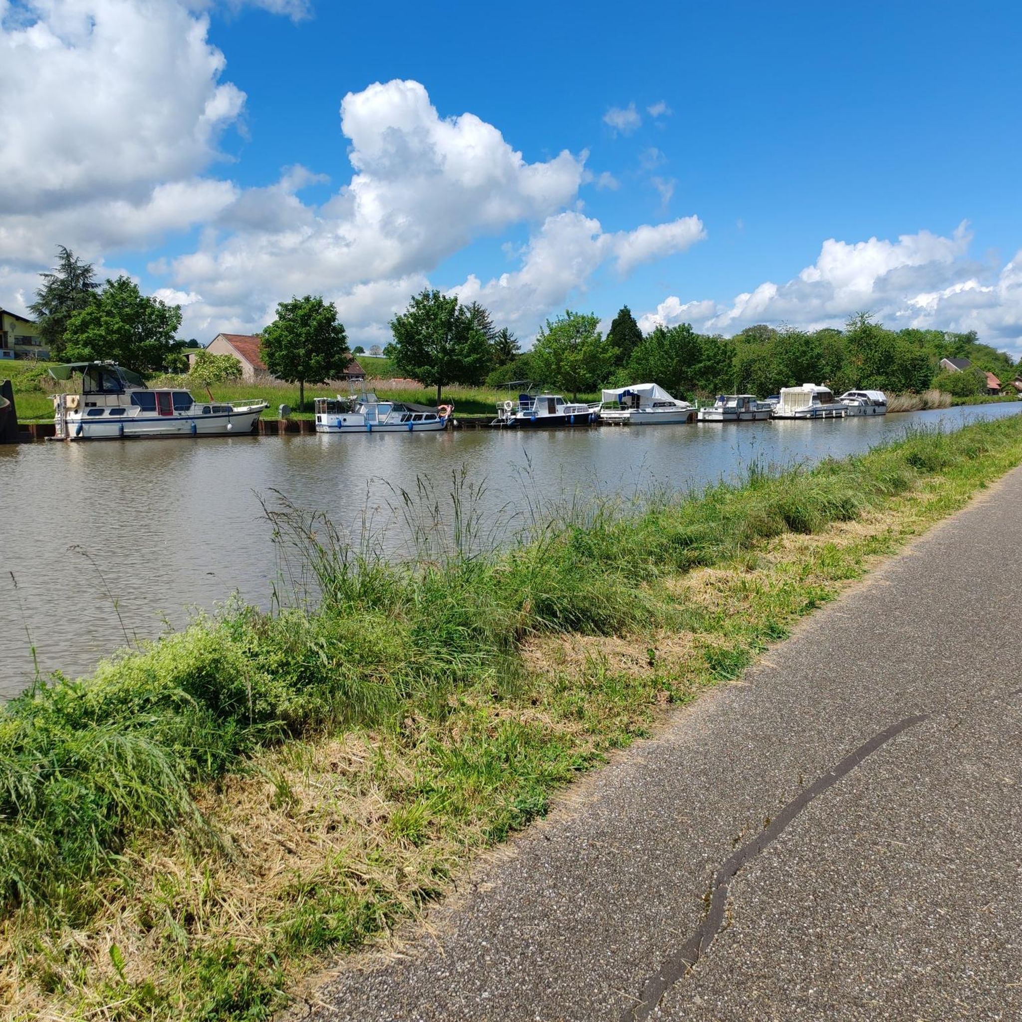
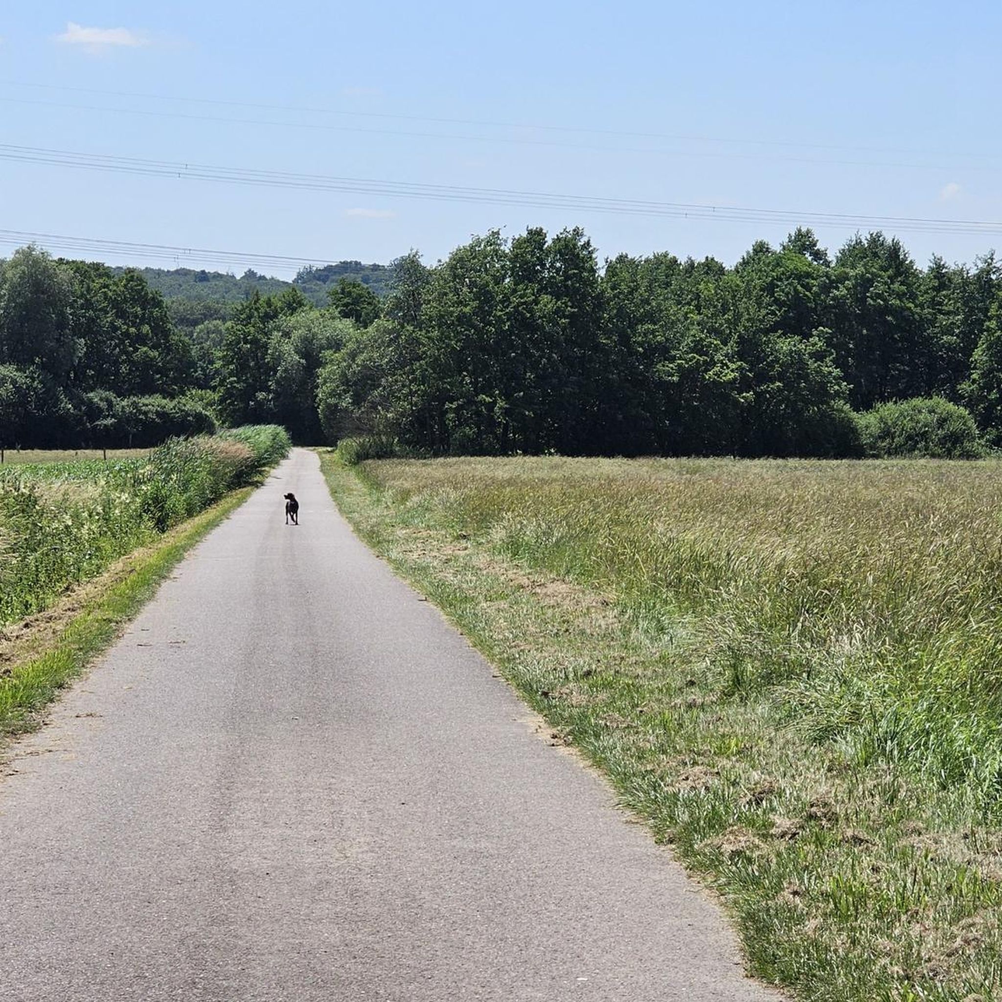
Gravel biking around Großtänchen offers a diverse landscape characterized by rolling hills, extensive forests, and numerous ponds. The region features varied terrain suitable for off-road cycling, including forest tracks and paths around water bodies. Elevation gains on many routes indicate a challenging yet rewarding experience for gravel bikers. This area provides a mix of natural beauty and historical points of interest along its trails.
Best gravel bike trails around Großtänchen
- The most popular gravel bike trail is Diefenbacher Pond –…
Last updated: August 27, 2026
5
riders
57.9km
03:47
670m
670m
Hard gravel ride. Very good fitness required. Mostly paved surfaces. Suitable for all skill levels.
6
riders
65.1km
04:38
570m
570m
Hard gravel ride. Very good fitness required. You may need to push your bike for some segments of this route.

Sign up for free
4
riders
39.7km
02:49
440m
440m
Hard gravel ride. Good fitness required. You may need to push your bike for some segments of this route.
3
riders
36.6km
02:46
490m
490m
Hard gravel ride. Very good fitness required. Mostly paved surfaces. Suitable for all skill levels.
4
riders
26.1km
01:44
270m
270m
Moderate gravel ride. Good fitness required. Mostly paved surfaces. Suitable for all skill levels.
Get access to more routes and recommendations from other explorers.
Sign up for free
Already have an account?
Our route recommendations are based on thousands of hikes, rides, and runs completed by other people on komoot.
Start today with a free account
Your next adventure awaits.
Login or Signup


Tips from the Community

The circuit is easy. I did it with an e-MTB.
0
0

Distant view as far as the Vosges Mountains
0
0

A very beautiful renaturalized pit or quarry. A cool gateway for cyclists.
0
0

The Maginot Line: The French Wall | ARTE https://youtu.be/Bvtxa08ysgc For those who would like to know more about the Maginot Line: de.wikipedia.org/wiki/Liste_der_Ouvrages_der_Maginot-Linie
1
0

The Hoste Bas pond borders the Hoste Haut pond. It was part of the Maginot Line defense system. Today, they are home to numerous species of fish, much to the delight of anglers.
0
1
The Diefenbach Pond covers 75 hectares and is one of the must-see sites along the aquatic Maginot Line. It is home to a wide variety of wildlife. It's not uncommon to encounter ducks, geese, and herons on the banks while strolling.
0
0
Excavation is difficult to find because it is overgrown and therefore completely unspectacular
1
0

Excellent playground with many forest paths. Not far away, the Hussards hill has several mountain bike trails.
0
0
Frequently Asked Questions
What kind of terrain can I expect on gravel bike trails in Großtänchen?
Gravel biking around Großtänchen offers a diverse landscape characterized by rolling hills, extensive forests, and numerous ponds. You'll encounter varied terrain suitable for off-road cycling, including forest tracks and paths around water bodies. The routes often feature undulating terrain and elevation gains, providing a rewarding experience.
Are there any easy gravel bike trails in Großtänchen suitable for beginners?
While Großtänchen is known for its challenging routes, there are several moderate gravel bike trails available. These routes offer a good balance for riders with some experience, but true 'easy' trails are not a primary feature of the region's gravel biking network. Most routes are classified as moderate to difficult.
What are some notable landmarks or points of interest I might see along the gravel routes?
The Großtänchen region combines natural beauty with historical points of interest. While riding, you might encounter historical sites such as the Saint-Nabor Abbey Church of Saint-Avold, a 17th Century Calvary, or the Chapel of the Holy Cross Saint Avold. Many routes also pass by scenic ponds and through dense woodlands.
Can I access gravel bike trailheads in Großtänchen using public transport?
Yes, some starting points for gravel bike routes in the Großtänchen area are accessible by public transport. For example, the town of Saint-Avold, a common starting point for several routes, has the Saint-Avold SNCF station, making it a convenient option for reaching the trails.
Are there any circular gravel bike routes in Großtänchen?
Many of the gravel bike routes in Großtänchen are designed as loops, offering convenient circular journeys. For instance, the Diefenbacher Pond – Lower Hoste Pond loop from Saint-Jean-Rohrbach and the Ouvrage de l'Einseling – Silcence Zone loop from Teting are popular circular options.
What is the best time of year for gravel biking in Großtänchen?
The region's diverse landscape with forests and ponds makes it enjoyable across multiple seasons. Spring and autumn generally offer pleasant temperatures and beautiful scenery, with vibrant foliage or blooming nature. Summer can also be great, especially in the shaded forest sections. Winter conditions might vary, so checking local weather is always recommended.
Where can I find parking for gravel biking in Großtänchen?
While specific parking areas for every trailhead are not detailed, common starting points for routes include towns like Saint-Jean-Rohrbach, Teting, and Saint-Avold. It's advisable to look for public parking facilities within these towns or near the designated starting points of your chosen route.
What do other gravel bikers enjoy most about gravel biking in Großtänchen?
The komoot community highly rates the gravel biking experience in Großtänchen, with an average score of 5.0 stars. Riders often praise the region's dense woodlands, scenic ponds, and the undulating terrain that provides a good challenge. The mix of natural beauty and varied routes is frequently highlighted.
Are there any less crowded gravel biking alternatives in Großtänchen?
With 15 different gravel bike routes available, including 5 moderate and 10 difficult options, you can often find less crowded alternatives by exploring routes beyond the most popular ones. Consider trails that might be slightly longer or have more elevation gain if you're looking for a quieter experience, as these tend to attract fewer riders.
What kind of difficulty can I expect from gravel bike trails in Großtänchen?
The gravel bike trails in Großtänchen are primarily categorized as moderate to difficult. You'll find 5 moderate routes and 10 difficult routes, indicating that many trails involve significant elevation gains and varied terrain suitable for experienced gravel bikers looking for a challenge.
Are there any gravel bike routes that explore historical fortifications?
Yes, the Großtänchen area features routes that incorporate historical elements. For example, the Ouvrage de l'Einseling – Silcence Zone loop from Teting is a difficult trail that specifically features historical fortifications alongside varied natural scenery.
How long do gravel bike rides in Großtänchen typically take?
The duration of gravel bike rides in Großtänchen varies significantly depending on the route's length and difficulty. For instance, a difficult route like the Diefenbacher Pond – Lower Hoste Pond loop from Saint-Jean-Rohrbach (61.8 km) can take around 5 hours 20 minutes, while a moderate one like the Crossroads Oderfang – Kahlenberg Run loop from Saint-Avold (26.1 km) might take about 2 hours 13 minutes.
Most popular routes around Großtänchen
Most popular attractions around Großtänchen

Get inspired with the komoot mobile app


Explore more
Browse the best Gravel rides in other regions.
