The best gravel rides around Kleintänchen
4.0
(1)
64
riders
17
rides
Gravel biking around Kleintänchen offers a network of routes traversing a landscape characterized by rolling hills and numerous ponds. The region features varied terrain, including paths that pass through rural areas and near historical sites. Elevations typically range from moderate climbs to more challenging ascents, providing diverse experiences for gravel cyclists. The area's natural features, including forests and country roads, make it suitable for exploring on two wheels.
Best gravel bike trails around Kleintänchen
- The most popular gravel bike trail…
Last updated: May 22, 2026
8
riders
46.7km
02:57
390m
390m
Moderate gravel ride. Good fitness required. Mostly paved surfaces. Suitable for all skill levels.
5
riders
Hard gravel ride. Very good fitness required. You may need to push your bike for some segments of this route.

Sign up for free
3
riders
49.3km
03:21
370m
370m
Moderate gravel ride. Good fitness required. Mostly paved surfaces. Suitable for all skill levels.
3
riders
44.1km
02:49
310m
310m
Moderate gravel ride. Good fitness required. Mostly paved surfaces. Suitable for all skill levels.
7
riders
41.4km
02:38
300m
300m
Moderate gravel ride. Good fitness required. Mostly paved surfaces. Suitable for all skill levels.
Get access to more routes and recommendations from other explorers.
Sign up for free
Already have an account?
Our route recommendations are based on thousands of hikes, rides, and runs completed by other people on komoot.
Start today with a free account
Your next adventure awaits.
Login or Signup

Tips from the Community

Viewpoint from one of the many bunkers along the Marginot Line. On a clear day, the view from here is fantastic, stretching all the way to the nearby Vosges Mountains. Even the Donon and Dabo peaks are easily visible to the naked eye. This shady spot with its bench is also perfect for a short break.
0
0

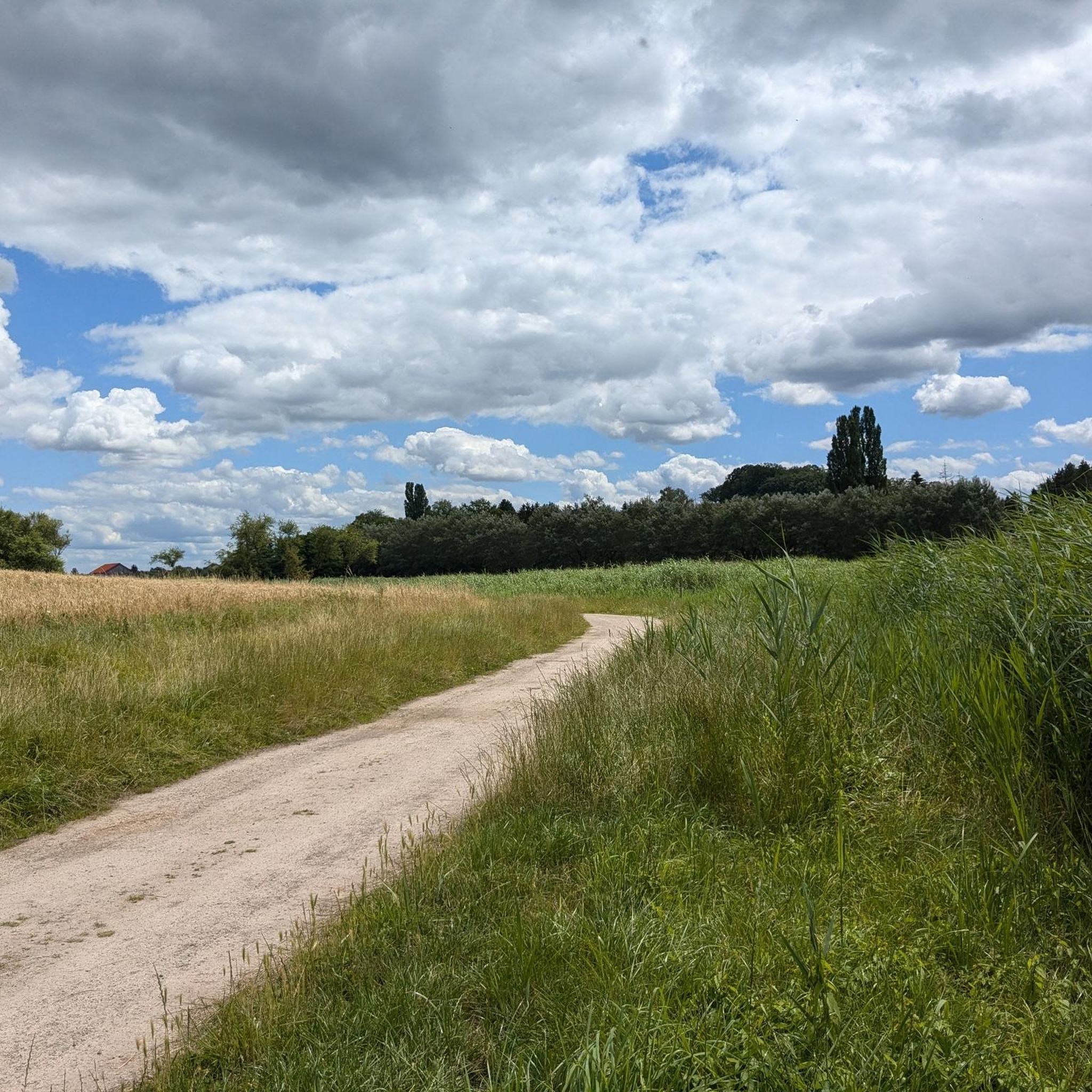
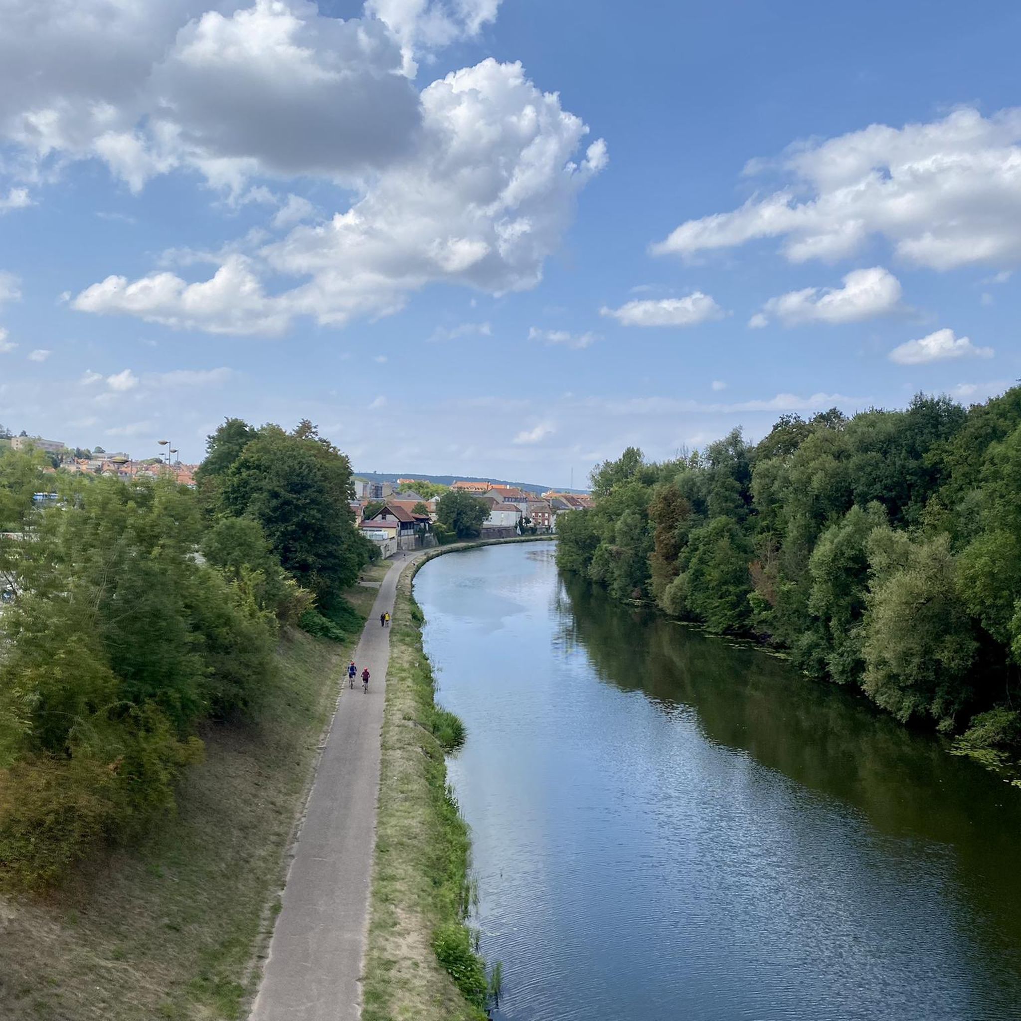
A varied route where you walk between paths and forest tracks, towpath, cycle path, easy crossing of a small village and 2 slightly more tedious urban crossings where you will have to be extra vigilant with regard to traffic.
0
0

When I passed the ordeal was no longer there 🤷🏻♀️
1
0

A former bunker of the Maginol Line, very worth seeing and interesting.
1
0
A very beautiful sandstone cross from the 17th century.
1
0

The Hoste Bas pond borders the Hoste Haut pond. It was part of the Maginot Line defense system. Today, they are home to numerous species of fish, much to the delight of anglers.
0
1
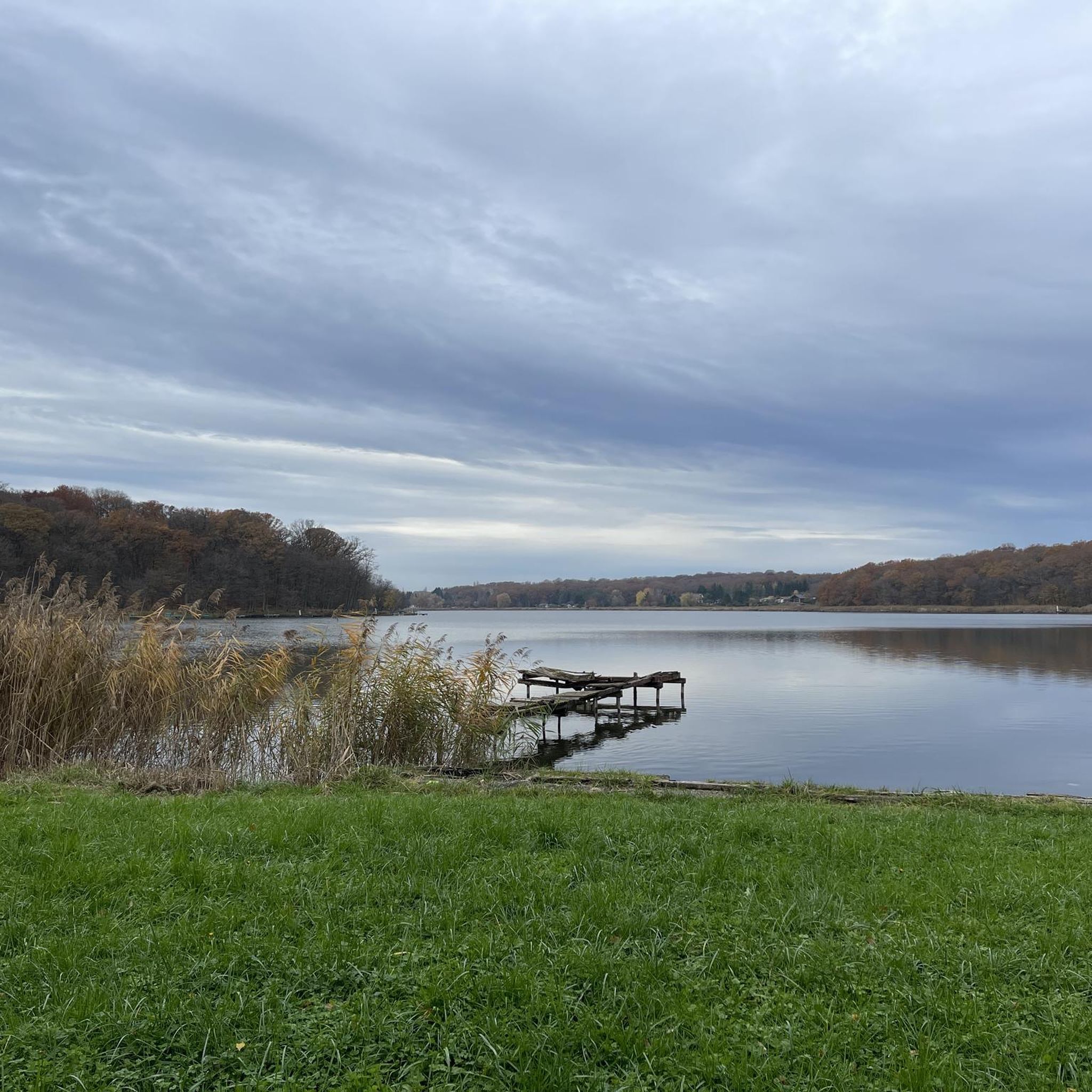
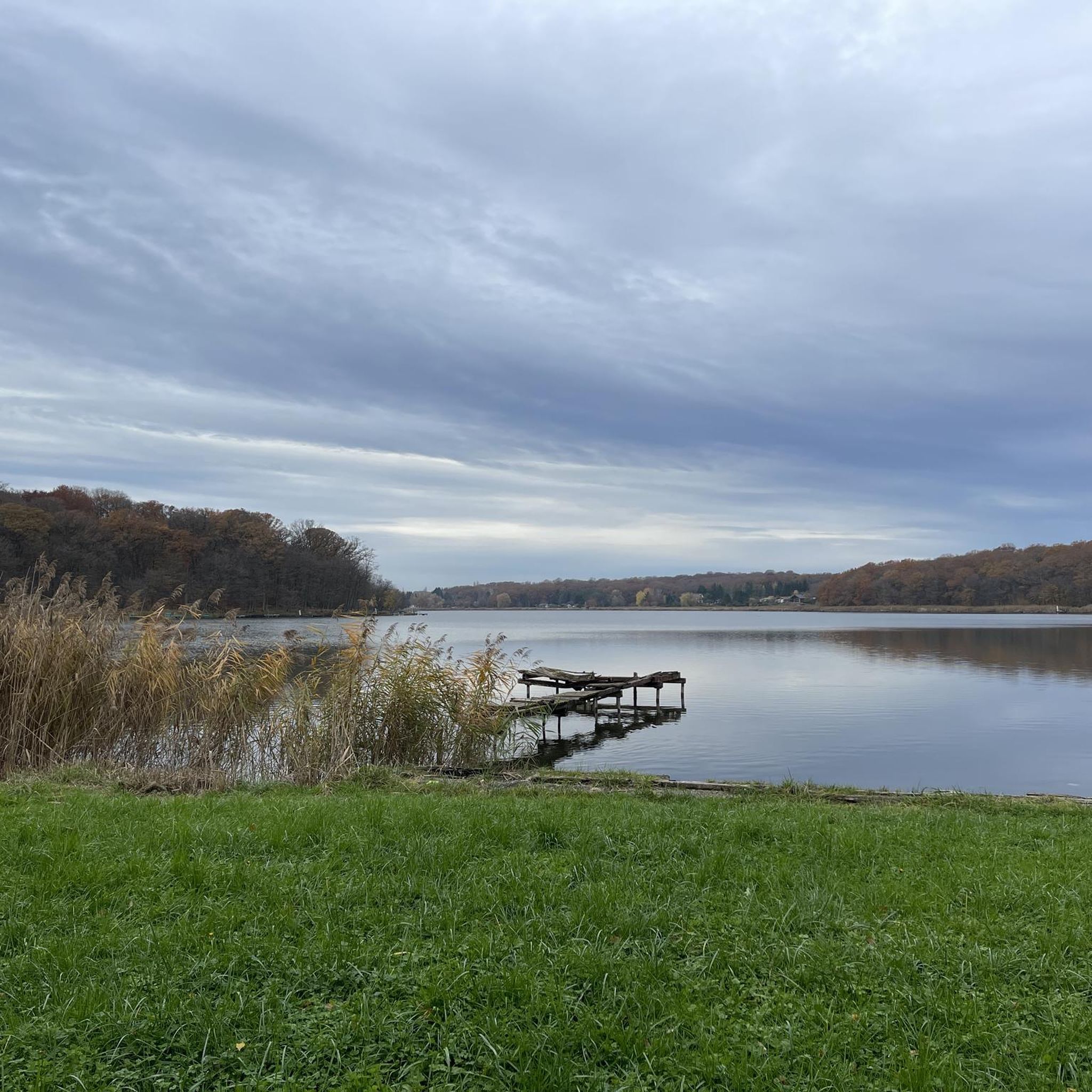
The Welschof Pond is a little corner of paradise for fishermen and ducks. It was built in the 1930s to serve as a reservoir for the Maginot Line's defensive flood control system.
1
0
The Diefenbach Pond covers 75 hectares and is one of the must-see sites along the aquatic Maginot Line. It is home to a wide variety of wildlife. It's not uncommon to encounter ducks, geese, and herons on the banks while strolling.
0
0
Frequently Asked Questions
How many gravel bike trails are available in Kleintänchen?
Kleintänchen offers a diverse network of over 20 gravel bike trails, catering to various skill levels from easy to difficult. This includes 15 moderate and 4 difficult routes, ensuring there's something for every gravel cyclist.
Are there any beginner-friendly gravel bike routes in Kleintänchen?
Yes, Kleintänchen has options suitable for beginners. While most routes are moderate, there is at least one easy trail available. These routes typically feature rolling hills and paths through rural areas, providing a pleasant introduction to gravel biking in the region.
What kind of terrain can I expect on the gravel bike trails around Kleintänchen?
The terrain around Kleintänchen is characterized by rolling hills and numerous ponds, offering varied scenery. You'll encounter paths through rural areas, near historical sites, and alongside bodies of water. Elevations range from moderate climbs to more challenging ascents, providing a diverse experience.
Are there any circular gravel bike routes in the area?
Many of the gravel bike routes around Kleintänchen are designed as loops, allowing you to start and finish at the same point. For example, the Étang de Welschhof – Welschhof Pond loop from Grundviller is a popular circular option, offering scenic views around Welschhof Pond.
What are some of the longer gravel bike routes in Kleintänchen?
For those seeking longer rides, the Diefenbacher Pond – Lower Hoste Pond loop from Saint-Jean-Rohrbach is a challenging 38.4 miles (61.8 km) trail. Another substantial option is the Sarralbe Town Centre – Diefenbacher Pond loop from Saint-Jean-Rohrbach, which covers 35.4 miles (57.0 km).
What can I see along the gravel bike trails in Kleintänchen?
The routes often pass by scenic natural features and points of interest. You can expect to see several ponds, such as Welschhof Pond and Lower Hoste Pond. Some trails also lead through rural landscapes with views of the surrounding countryside.
Are there any historical or cultural landmarks accessible by gravel bike?
Yes, some routes offer glimpses of historical sites. For instance, the Maginot Line Bunker MC 24 – Rémering Les Puttelanges loop from Holving allows you to explore the area near a historical bunker. You might also encounter the Bonne Fontaine Chapel and Spring of Hoste on certain trails.
What do other gravel bikers enjoy most about the trails in Kleintänchen?
The komoot community highly rates the gravel biking experience in Kleintänchen, with an average score of 4.5 stars. Riders often appreciate the varied terrain, the network of routes connecting ponds and rural areas, and the options available for different ability levels. Over 80 gravel bikers have used komoot to explore the region.
Where can I find parking or trailheads for these routes?
Many routes are designed as loops starting from towns or villages, implying accessible parking. For example, routes like the View of Insming – Altviller loop begin from Saint-Jean-Rohrbach, and others from Grundviller or Holving, which typically offer public parking options.
What is the best season for gravel biking in Kleintänchen?
Given the region's rolling hills and numerous ponds, spring and autumn are generally ideal for gravel biking, offering pleasant temperatures and vibrant scenery. Summer can also be enjoyable, though it's advisable to start earlier to avoid the midday heat. Winter riding is possible, but conditions may vary, with potential for mud or ice.
Are there any challenging gravel bike routes in Kleintänchen?
Yes, for experienced riders seeking a challenge, Kleintänchen offers 4 difficult routes. These trails feature more significant elevation gains and longer distances, such as the Diefenbacher Pond – Lower Hoste Pond loop from Saint-Jean-Rohrbach, which includes over 545 meters of ascent.
Can I expect to see wildlife while gravel biking in Kleintänchen?
Riding through the rural areas and near the numerous ponds of Kleintänchen provides opportunities for wildlife spotting. Keep an eye out for local birds and other small animals, especially during quieter times of the day or on less frequented paths.
Most popular routes around Kleintänchen
Most popular attractions around Kleintänchen

Get inspired with the komoot mobile app


Explore more
Browse the best Gravel rides in other regions.
