The best gravel rides around Holwinge
63
riders
39
rides
Gravel biking around Holwinge features a diverse landscape characterized by rolling hills, river valleys, and numerous ponds and lakes. The region offers a mix of unpaved roads, forest paths, and agricultural tracks suitable for gravel bikes. Elevations are moderate, with routes often following natural water features and traversing varied terrain. This makes Holwinge a suitable destination for exploring different types of gravel bike specific terrain.
Best gravel bike trails around Holwinge
- The most popular gravel bike trail is Border Bridge…
Last updated: May 22, 2026
5.0
(1)
17
riders
76.1km
04:28
790m
790m
Hard gravel ride. Very good fitness required. Mostly paved surfaces. Suitable for all skill levels.
12
riders
84.9km
05:31
690m
690m
Hard gravel ride. Very good fitness required. Mostly paved surfaces. Suitable for all skill levels.

Sign up for free
4.0
(1)
10
riders
56.3km
03:27
450m
450m
Moderate gravel ride. Good fitness required. Mostly paved surfaces. Suitable for all skill levels.
6
riders
79.7km
05:00
860m
860m
Hard gravel ride. Very good fitness required. You may need to push your bike for some segments of this route.
8
riders
46.7km
02:57
390m
390m
Moderate gravel ride. Good fitness required. Mostly paved surfaces. Suitable for all skill levels.
Get access to more routes and recommendations from other explorers.
Sign up for free
Already have an account?
Our route recommendations are based on thousands of hikes, rides, and runs completed by other people on komoot.
Start today with a free account
Your next adventure awaits.
Login or Signup
Tips from the Community

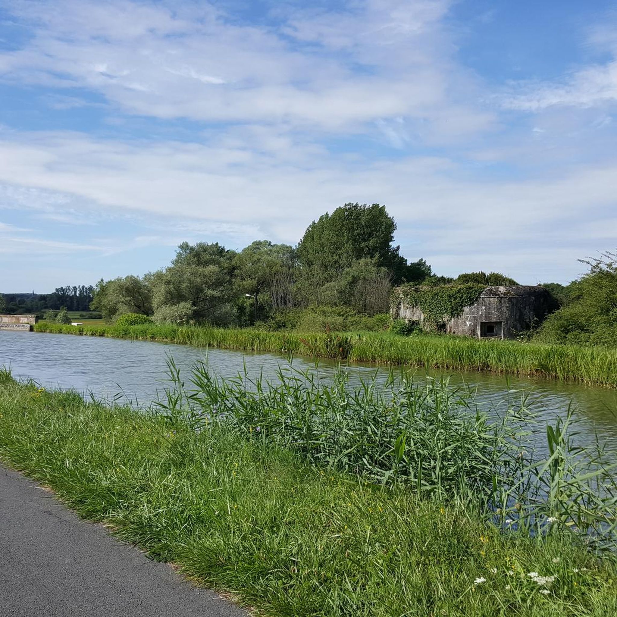
Viewpoint from one of the many bunkers along the Marginot Line. On a clear day, the view from here is fantastic, stretching all the way to the nearby Vosges Mountains. Even the Donon and Dabo peaks are easily visible to the naked eye. This shady spot with its bench is also perfect for a short break.
0
0

Distant view as far as the Vosges Mountains
0
0

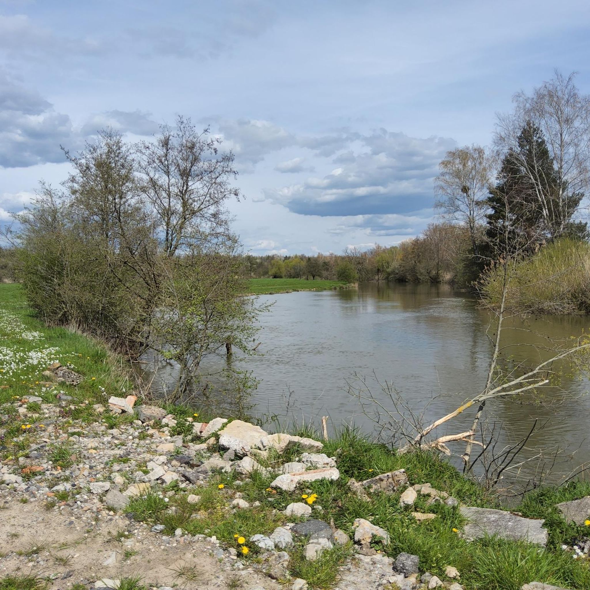
This reddish-brown wooden bridge safely crosses the Blies River and connects the hiking trails on both sides of the border. Surrounded by lush greenery, it offers an idyllic view of the river and invites you to pause for a moment. 💡 Tip: Pause for a moment in the middle of the bridge – from here, you can often spot ducks, fish, or even the shy kingfisher.
2
0

The Blies is the dominant river here and the bridge leads from D to Frk and back and connects.
1
0

Information about the Kleinblittersdorf municipal forest
0
0

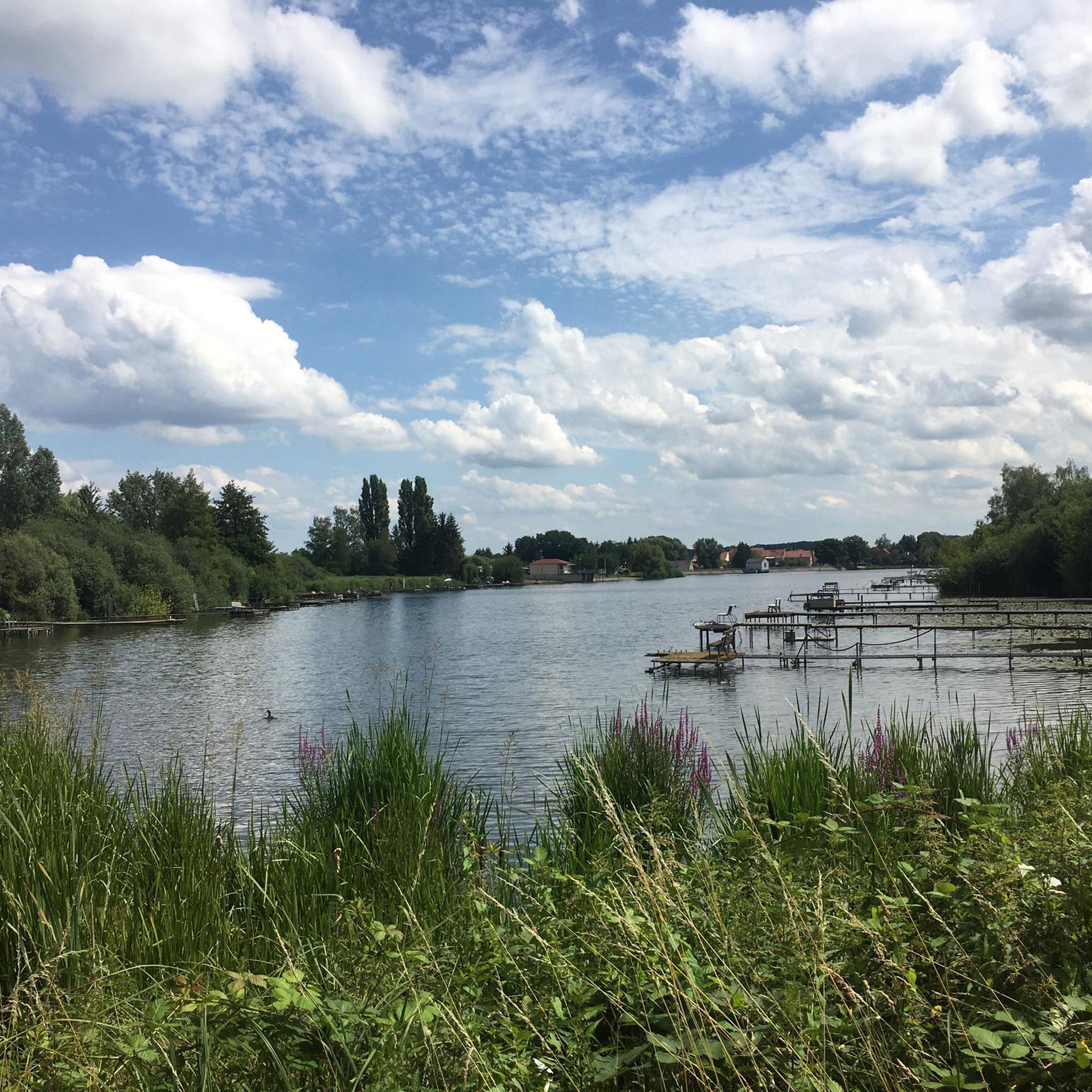
A very beautiful renaturalized pit or quarry. A cool gateway for cyclists.
0
0


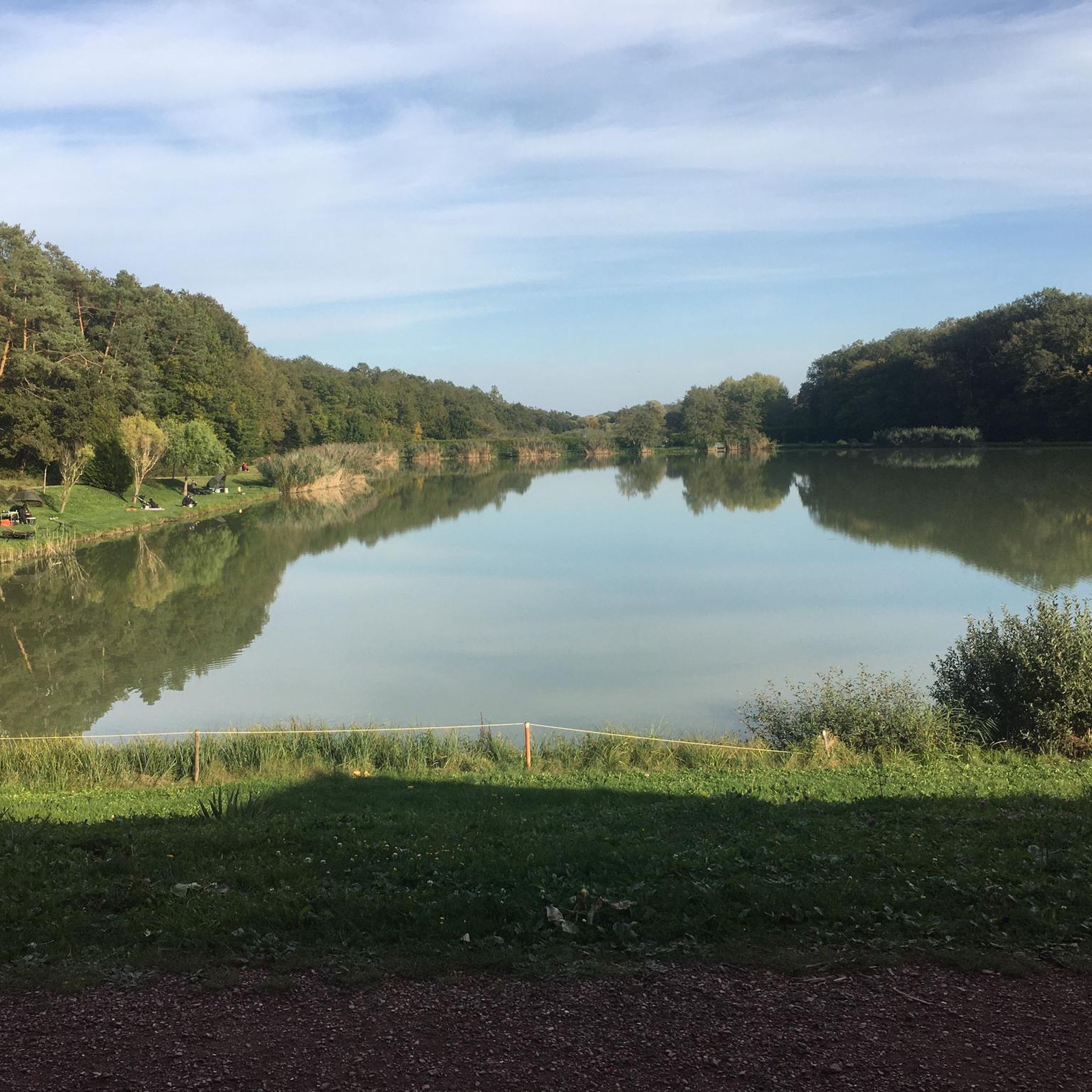
The Hoste Bas pond borders the Hoste Haut pond. It was part of the Maginot Line defense system. Today, they are home to numerous species of fish, much to the delight of anglers.
0
1
Frequently Asked Questions
What kind of terrain can I expect on gravel bike trails around Holwinge?
Gravel biking around Holwinge offers a diverse landscape featuring rolling hills, river valleys, and numerous ponds and lakes. You'll encounter a mix of unpaved roads, forest paths, and agricultural tracks. Elevations are generally moderate, with routes often following natural water features and traversing varied terrain.
How many gravel bike routes are available in the Holwinge area?
There are over 50 gravel bike routes available around Holwinge, catering to various skill levels. This includes 3 easy routes, 30 moderate routes, and 24 difficult routes, ensuring options for everyone from beginners to experienced riders.
Are there any family-friendly gravel biking options in Holwinge?
While specific 'family-friendly' routes aren't explicitly detailed, the region does offer 3 easy and 30 moderate routes. These might be suitable for families depending on their experience level. Routes that follow river valleys or pass by ponds, like the Welschhof Pond – Saar River at Saargemünd (Sarreguemines) loop from Hundling, often provide gentler gradients and scenic views.
What are some scenic viewpoints or landmarks I can see along the gravel routes?
Many routes in Holwinge offer scenic views, particularly those that follow river valleys or pass by the region's numerous ponds and lakes. Notable natural features include Welschhof Pond, Hirbach Pond, and the Saar River. You might also pass through areas like Sarralbe Town Centre or see historical elements like the Saar Coal Canal at Dieding.
Are there any loop gravel cycling routes around Holwinge?
Yes, many of the gravel routes in Holwinge are designed as loops. For example, the challenging Dragonerweg – Southern Bliesgau loop from Hundling and the moderate Étang de Welschhof – Welschhof Pond loop from Grundviller are popular circular options that allow you to start and end in the same location.
What do other gravel bikers say about the trails in Holwinge?
The gravel biking routes in Holwinge are highly rated by the komoot community, with an average score of 4.4 stars from over 5 reviews. More than 100 gravel bikers have explored the varied terrain, often praising the diverse landscapes, from river valleys and forested sections to open agricultural areas.
Are there any challenging gravel bike routes for experienced riders?
Absolutely. Holwinge offers 24 difficult gravel bike routes for experienced riders. A notable challenging option is the Sarralbe Town Centre – Étang d hirchbach loop from Farschviller, which covers over 50 miles and features significant elevation changes through varied countryside.
Can I find routes that pass by lakes or ponds in Holwinge?
Yes, the Holwinge region is characterized by numerous ponds and lakes, and many gravel routes incorporate these natural features. You can find routes that pass by Welschhof Pond, Étang de Diebling, and Hirbach Pond, offering beautiful waterside views.
What is the typical elevation gain on gravel bike trails in Holwinge?
The elevation profiles vary across Holwinge's gravel trails. While some routes feature moderate climbs, others, particularly the difficult ones, can have significant elevation gains. For instance, the Warndtweiher – Barrois Quarry loop from Hundling involves over 850 meters of ascent.
Are there any routes that follow rivers or canals?
Yes, the region's landscape includes river valleys, and some routes follow these natural corridors. The Welschhof Pond – Saar River at Saargemünd (Sarreguemines) loop from Hundling, for example, follows the Saar River, offering picturesque riverside cycling. You can also find sections along the Cycle path along the Saar.
What types of surfaces are common on Holwinge's gravel routes?
You can expect a mix of surfaces suitable for gravel bikes, including unpaved roads, forest paths, and agricultural tracks. This variety contributes to the diverse gravel biking experience in Holwinge.
Most popular attractions around Holwinge

Get inspired with the komoot mobile app


Explore more
Browse the best Gravel rides in other regions.
