The best gravel rides around Saint-Étienne-De-Lugdarès
4.5
(31)
210
riders
4
rides
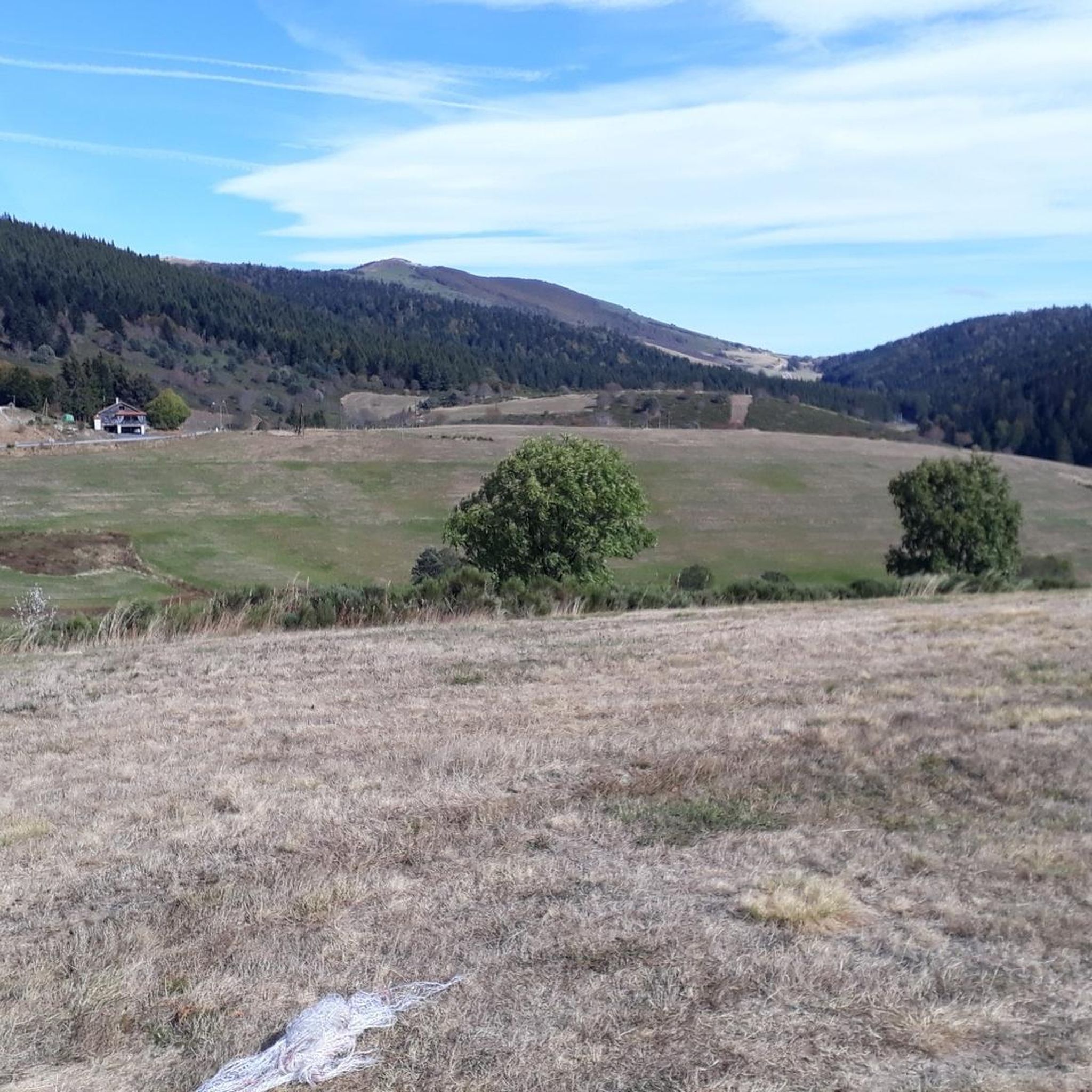
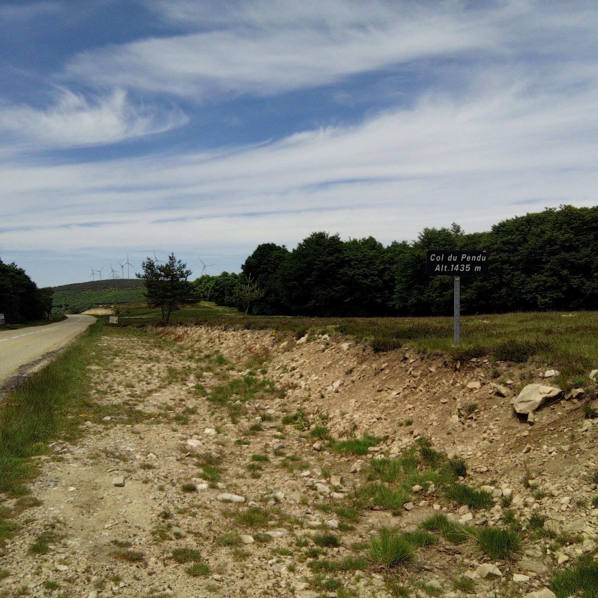
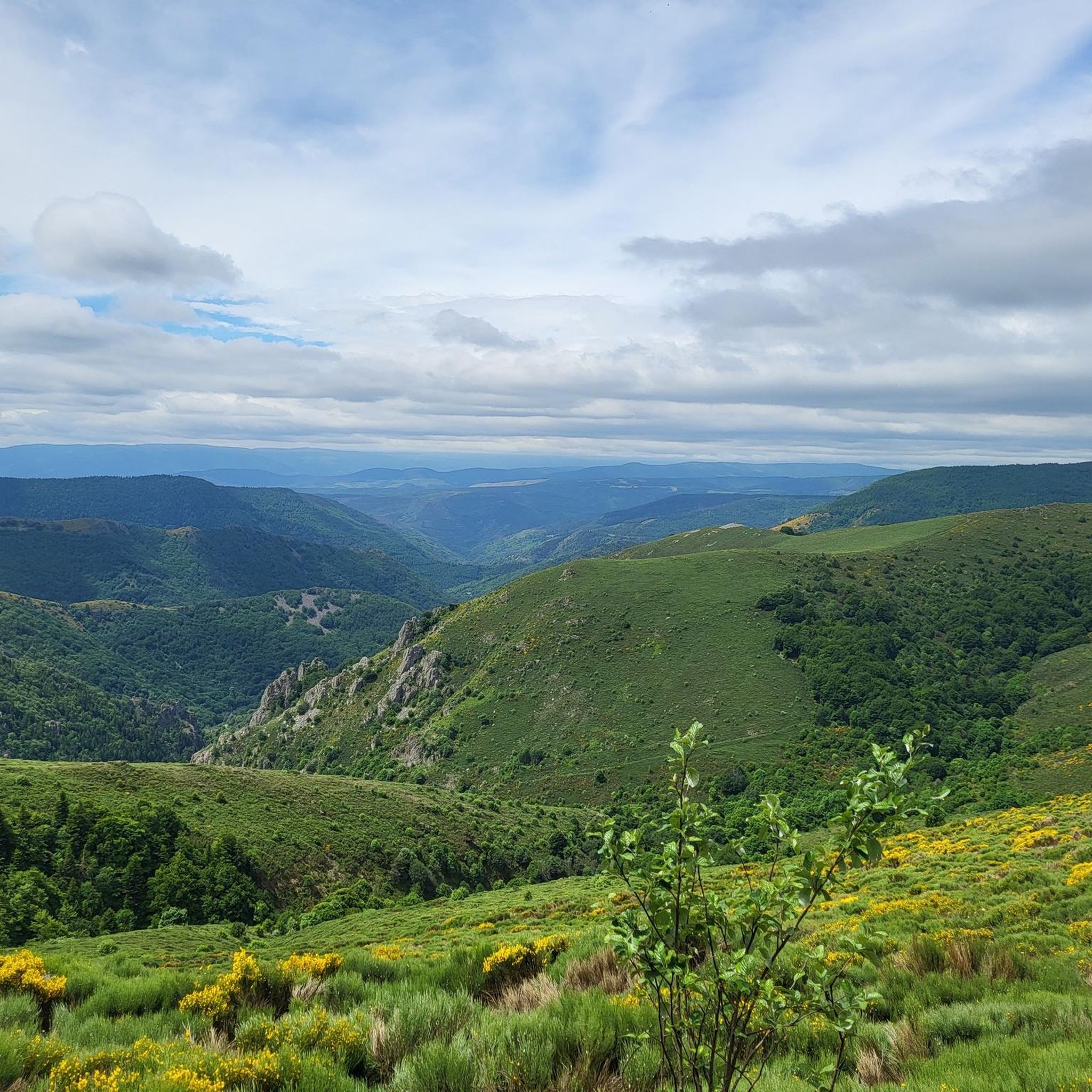
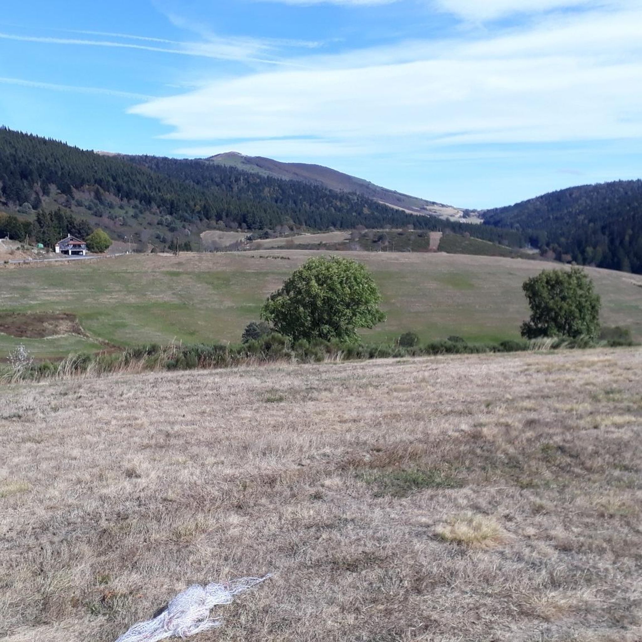
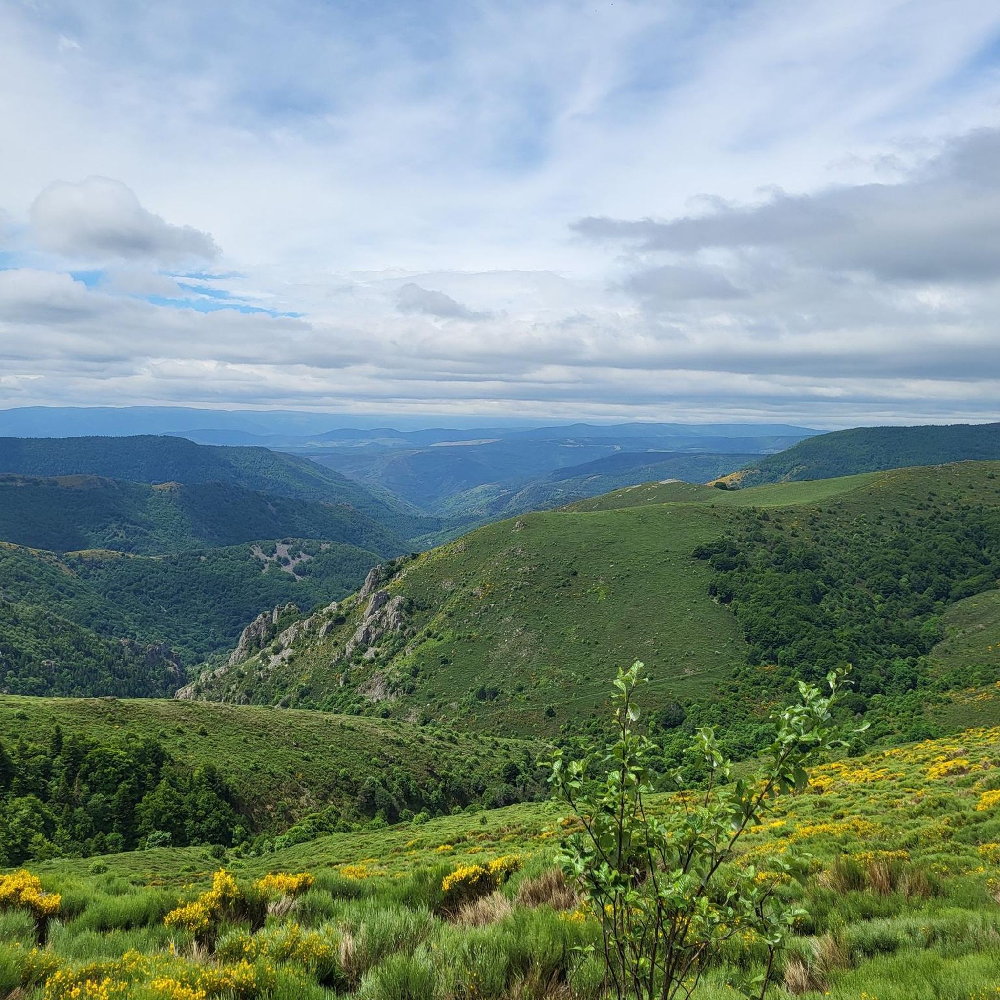
Gravel bike trails around Saint-Étienne-De-Lugdarès are found within the Massif Central mountain range, offering diverse and rugged landscapes. The region features varied terrain, including unpaved segments, shaped by its volcanic past and granite formations. Situated at the core of the Massif du Tanargue, the area presents a transitional landscape between volcanic peaks and the Cévennes, with significant elevation changes. River valleys, such as the picturesque Masmejean, also contribute to the varied routes available for gravel biking.
Best gravel bike trails…
Last updated: November 2, 2026
4.4
(9)
59
riders
41.3km
02:49
450m
450m
Hard gravel ride. Very good fitness required. Mostly paved surfaces.
5.0
(4)
18
riders
40.5km
02:55
590m
590m
Hard gravel ride. Very good fitness required. Mostly paved surfaces.

12
riders
66.5km
04:50
980m
980m
Hard gravel ride. Very good fitness required. Mostly paved surfaces.
4.3
(6)
17
riders
27.5km
02:05
420m
420m
Moderate gravel ride. Good fitness required. Mostly paved surfaces.
16
riders
90.1km
06:59
1,510m
1,510m
Hard gravel ride. Very good fitness required. Mostly paved surfaces.
Our route recommendations are based on thousands of hikes, rides, and runs completed by other people on komoot.
Start today with a free account
Your next adventure awaits.
Tips from the Community

These ruins once housed the Choisinets castle and orphanage. The construction of this unusual building spanned the entire second millennium. The ruins of two towers dating from the 12th and 17th centuries are still in good condition, testifying to the various architectural influences.
0
0

Lac de Charpal lies at an altitude of 1,360 meters amidst raised bogs, forests, and heathland. This artificial reservoir, built in the 1930s, supplies Mende with drinking water. Today, it is a tranquil retreat, popular for hiking, nature observation, and its protected flora and fauna.
0
0
Lac de Charpal lies at an altitude of 1,360 meters amidst raised bogs, forests, and heathland. This artificial reservoir, built in the 1930s, supplies Mende with drinking water. Today, it is a tranquil retreat, popular for hiking, nature observation, and its protected flora and fauna.
0
0

Market on Tuesdays (summer) and Saturdays
0
0
There we found the Meteil bread seller (a mixture of rye and sourdough) from the previous day's market in Costaros, under the market hall. Producers of fruit and vegetables, cheeses, and charcuterie. Everything for an ideal picnic.
0
0
Rehabilitation work in progress. Please note that the site is not on the route. You must take a 200m detour from the intersection with the statue of Saint Germaine.
0
0

Very nice walk, the first part is a little difficult to access the lake because of the big difference in altitude. But the tour of the lake is very pleasant, and accessible with children (10 years old)
0
0

Frequently Asked Questions
What kind of terrain can I expect on gravel bike trails around Saint-Étienne-De-Lugdarès?
The gravel bike trails around Saint-Étienne-De-Lugdarès are characterized by mountainous terrain and varied surfaces, including unpaved segments. The region's volcanic past and granite formations contribute to a rugged landscape with significant elevation changes, offering challenging yet rewarding routes for riders.
Are there any family-friendly gravel bike routes in the area?
The gravel routes around Saint-Étienne-De-Lugdarès generally involve significant elevation gains and are best suited for riders with good to very good fitness levels. While there isn't a specific route highlighted as 'family-friendly' in the data, families with experienced riders might enjoy shorter sections or explore the picturesque valley of Masmejean, keeping in mind the overall challenging nature of the terrain.
Can I bring my dog on the gravel bike trails?
Many natural trails in the Ardèche region are dog-friendly, but it's always best to check local regulations for specific paths. Given the mountainous and sometimes rugged terrain, ensure your dog is fit enough for the ride and that you carry enough water for both of you. Always keep dogs on a leash, especially near livestock or in protected areas.
What are some notable natural attractions or landmarks I can see while gravel biking?
The region offers stunning natural beauty. You can experience the transitional landscape of the Massif du Tanargue, shaped by volcanic origins, and enjoy high-altitude views of the Ardèche and Lozère mountains. The picturesque valley of Masmejean, with its beautiful river, also provides scenic routes. For specific points of interest, consider visiting Auradoux Pond.
Are there any historical sites or cultural points of interest along the routes?
Yes, the area is rich in history. You can explore sites like the impressive Gothic church, known as 'the Cathedral of the Mountain,' built from granite and polychrome volcanic stones. Other historical attractions include Luc Castle, a medieval fortress, and the ruins of Mazan-l'Abbaye, a 12th-century abbey that also features contemporary art installations.
What is the best time of year for gravel biking in Saint-Étienne-De-Lugdarès?
The region's average elevation of 1033 meters means it can offer cooler temperatures, especially during summer. Spring and autumn generally provide pleasant conditions for gravel biking, with comfortable temperatures and vibrant scenery. Winters can be cold, with nearby stations offering winter sports, so check local weather and trail conditions if planning a winter ride.
Are there any circular gravel bike routes available?
Yes, several circular gravel bike routes are available. For example, you can explore the Lake Naussac – View of Lac de Naussac loop from Langogne, a challenging 66.4 km route with substantial elevation gain. Another option is the Langogne commune – Pradelles loop from Langogne, a 46.6 km path offering varied landscapes.
What is the general difficulty level of gravel biking in this region?
Gravel biking around Saint-Étienne-De-Lugdarès is generally considered difficult. The routes feature significant elevation gains and varied terrain, making them best suited for riders with good to very good fitness levels. For instance, the View of Lake Naussac – Lake Naussac loop from Langogne involves over 570 meters of climbing.
What do other gravel bikers enjoy most about the trails in Saint-Étienne-De-Lugdarès?
The area is highly rated by the komoot community, with an average score of 4.5 stars from over 19 reviews. Riders often praise the diverse and rugged landscapes, the challenging climbs, and the stunning views of Lake Naussac and the surrounding mountains. The unique volcanic geology and varied surfaces also contribute to a rewarding experience.
Are there options for longer distance or bikepacking routes?
While specific bikepacking routes are not detailed, the region's mountainous terrain and network of trails, including connections to long-distance hiking routes like GR4, GR7, and Stevenson trails, suggest potential for linking routes for longer adventures. The challenging nature of the routes, such as the 66.4 km Lake Naussac – View of Lac de Naussac loop from Langogne, provides a good foundation for multi-day planning.
Is there parking available at the trailheads?
While specific parking locations for each trailhead are not detailed, Saint-Étienne-De-Lugdarès is a commune that supports outdoor activities. It is generally advisable to look for parking in or near the main villages or designated outdoor activity areas, such as Langogne, which serves as a common starting point for several routes.
How accessible are the gravel bike trails by public transport?
Information on direct public transport access to specific trailheads is limited. The region is rural, and public transport options might be infrequent. It's recommended to plan your journey in advance and consider starting points in larger towns like Langogne, which may have better transport links, and then cycling to the trailheads.
Most popular routes around Saint-Étienne-De-Lugdarès
Most popular attractions around Saint-Étienne-De-Lugdarès

Get inspired with the komoot mobile app


Explore more
Browse the best Gravel rides in other regions.
