The best gravel rides around Maisnières
4.3
(5)
30
riders
7
rides
Gravel biking around Maisnières offers access to diverse landscapes within the Somme department, characterized by the Somme Valley's tranquil rivers and marshlands. The region features a mix of paved and unpaved surfaces, including forest trails and sections influenced by the nearby Somme Bay. This topography provides varied terrain for gravel cyclists, from flat river paths to routes with moderate elevation changes.
Best gravel bike trails around Maisnières
- The most popular gravel bike trail is Cycle path along the Canal Somme – Kanal der Somme loop from Valines, a 54.1 miles (87.0 km) trail that takes 6 hours 0 minutes to complete. This difficult route follows the canal, offering extensive views of the Somme Valley.
- Another top favourite among local gravel bikers is The Somme canalised – Around Long Lock loop from Cerisy-Buleux, a moderate 34.4 miles (55.3 km) path. This route explores the canalized Somme, passing by historical locks and riverine scenery.
- Local gravel bikers also love the Wooden Bridge on Forest Trail – V1 Launch Site of Guerville loop from Longroy - Gamaches, a 22.7 miles (36.5 km) trail leading through forest paths and past the V1 Launch Site, often completed in about 2 hours 51 minutes.
- Gravel biking around Maisnières is defined by river valleys, marshland environments, and forest trails. The network offers options for different ability levels, from moderate to difficult.
- The routes in Maisnières are highly rated by the komoot community with an average score of 4.5 stars from more than 4 reviews. More than 30 gravel bikers have used komoot to explore Maisnières's varied terrain.
Last updated: July 2, 2026
4.5
(2)
12
riders
85.8km
05:01
480m
480m
Hard gravel ride. Very good fitness required. Mostly paved surfaces. Suitable for all skill levels.
4.5
(2)
6
riders
55.3km
03:06
280m
280m
Moderate gravel ride. Good fitness required. Mostly paved surfaces. Suitable for all skill levels.

Sign up for free
3
riders
Moderate gravel ride. Good fitness required. Mostly paved surfaces. Suitable for all skill levels.
4.0
(1)
2
riders
19.8km
01:29
240m
240m
Moderate gravel ride. Good fitness required. Mostly paved surfaces. Suitable for all skill levels.
3
riders
Moderate gravel ride. Good fitness required. Mostly paved surfaces. Suitable for all skill levels.
Get access to more routes and recommendations from other explorers.
Sign up for free
Already have an account?
Our route recommendations are based on thousands of hikes, rides, and runs completed by other people on komoot.
Start today with a free account
Your next adventure awaits.
Login or Signup
Tips from the Community

Hourdel Lighthouse is a lighthouse on the common Cayeux-sur-Mer, it is built on the south side of the Bay of Somme, at the end of the point of Hourdel.
4
0

Steam train from St Valéry, allows you to return to Noyelles station to take a TER
0
0

take a right and a nice little detour
0
0
There are other routes nearby.
0
0

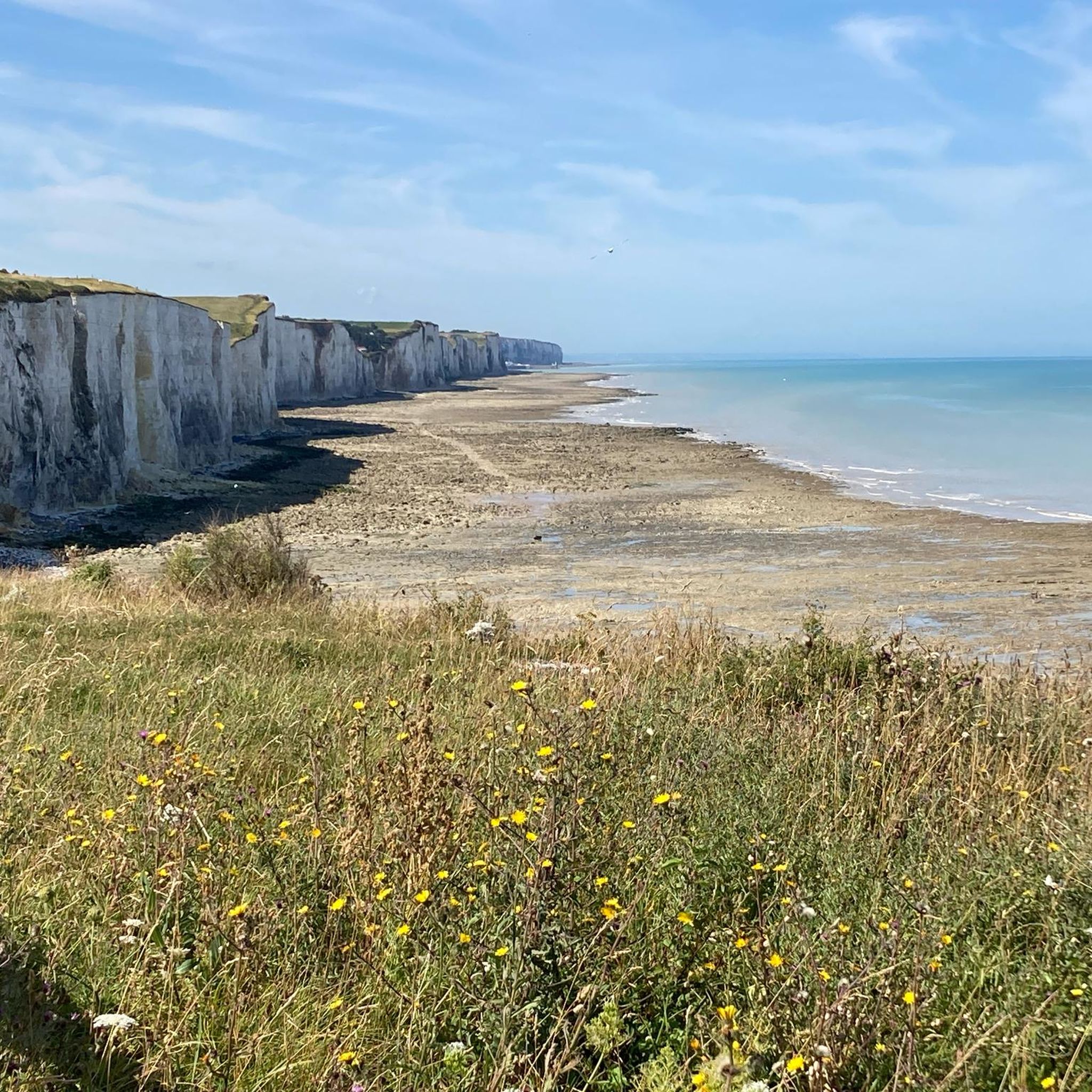
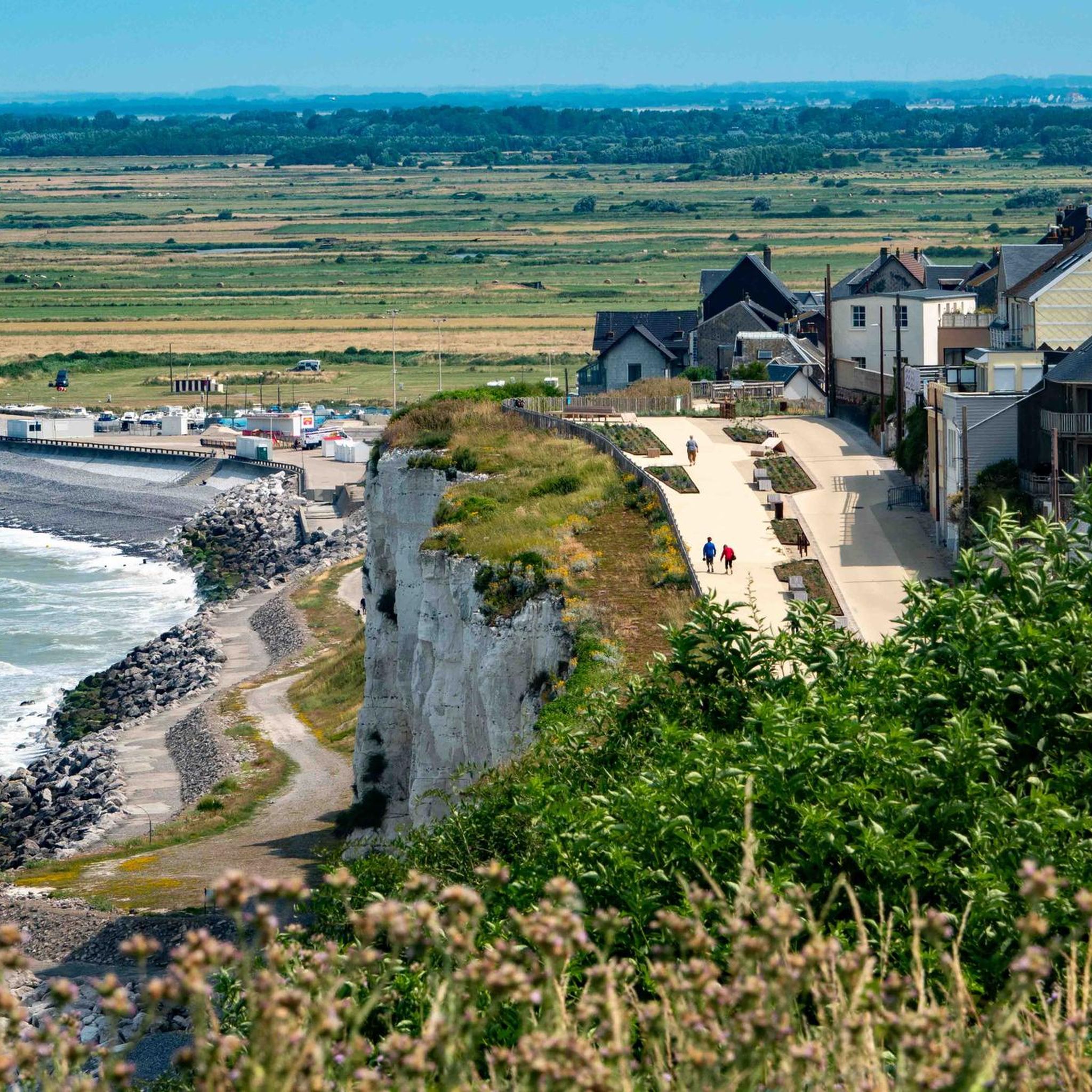
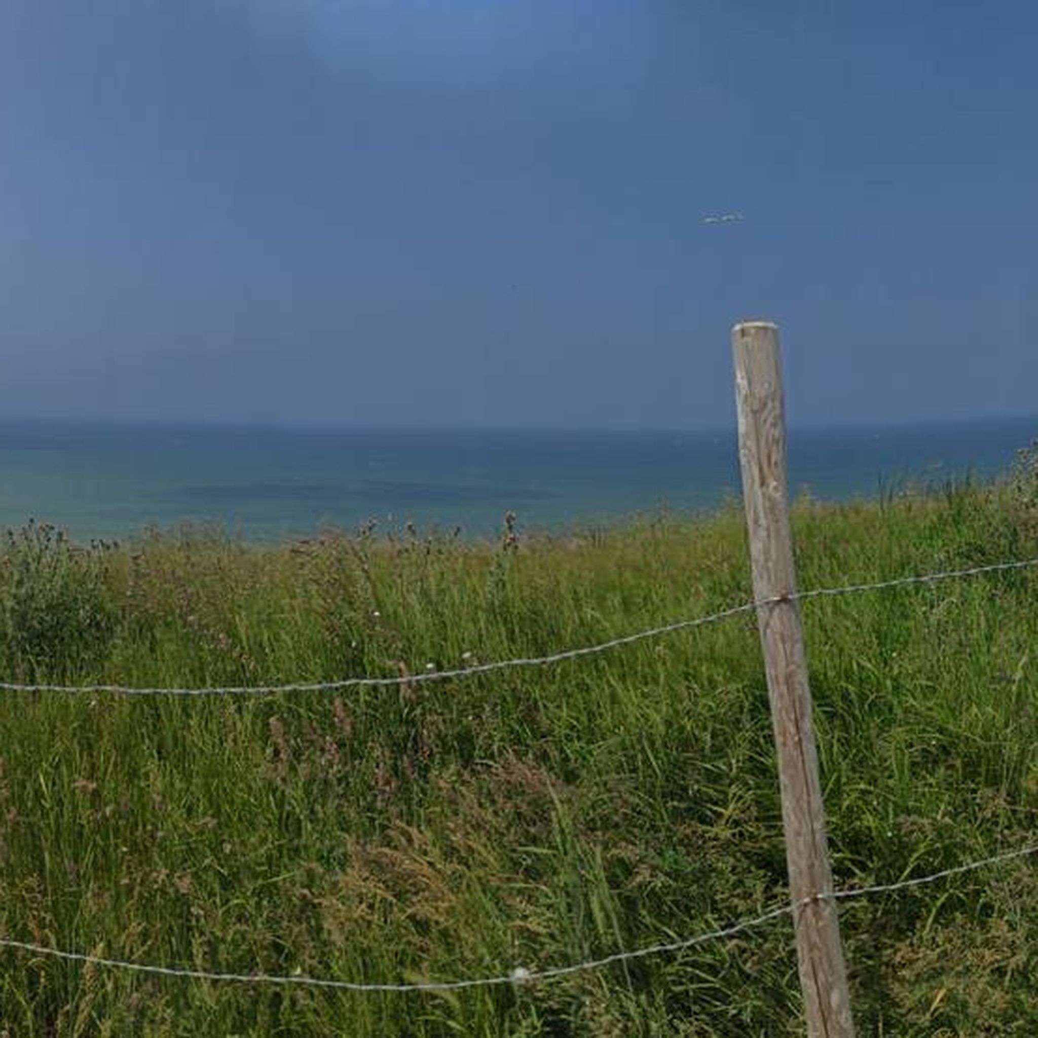
The cliffs are made of chalk and are impressive to look at.
3
0

Beautiful view over the Somme.
1
0

The cliffs around the beach of Ault are composed of chalk from the Upper Cretaceous, more precisely from the Turonian and Coniacian (around 83 million years ago to 90 million years ago). They are strewn with flint nodules which highlight the subhorizontal stratification planes (the formation of flint has already been discussed in Discovery of the geology of the cliffs of Étretat, presentation of an excursion from the beach of Tilleul (Antifer) to the Porte d'Amont (Étretat Nord)). The relative proportion of chalk and flint is around 90-95% chalk to 5-10% flint. Flint horizons are stratigraphic markers. On the cliffs of Ault, the regular flint band called Seven Sisters is recognizable and characterizes the boundary between the Middle Coniacian and the Upper Coniacian (around 87 million years ago). The boundary between the lower and middle Coniacian is marked by the Shoreham 2 marl level, which is more difficult to identify. These lithostratigraphic markings allow in particular the correlation of distant deposits, such as between the Normandy and Picardy coasts, or between the French and English coasts.
2
0
Frequently Asked Questions
What kind of terrain can I expect on gravel bike trails around Maisnières?
The gravel bike trails around Maisnières offer a varied landscape, primarily characterized by the tranquil rivers and marshlands of the Somme Valley. You'll encounter a mix of paved and unpaved surfaces, including sections along canal towpaths, forest trails, and paths influenced by the nearby Somme Bay. While many routes follow river valleys, some also feature moderate elevation changes, providing a diverse riding experience.
Are there gravel bike routes suitable for beginners in Maisnières?
While most routes in Maisnières are rated moderate to difficult, the region's network of paths along the Somme Valley offers sections that can be enjoyed by less experienced riders. These often feature flatter terrain along riverbanks. For a moderate option, consider The Somme canalised – Around Long Lock loop from Cerisy-Buleux, which explores riverine scenery over 34.4 miles (55.3 km).
How many gravel bike trails are available around Maisnières?
There are over 10 curated gravel bike routes available around Maisnières, offering a range of distances and difficulties. These routes are highly rated by the komoot community, with an average score of 4.5 stars.
What are the typical distances and elevations for gravel rides in this area?
Gravel rides around Maisnières vary significantly in length and elevation. You can find shorter routes like the Wooden Bridge on Forest Trail – V1 Launch Site of Guerville loop from Longroy - Gamaches at 22.7 miles (36.5 km) with about 370 meters of elevation gain. Longer, more challenging options, such as the Cycle path along the Canal Somme – Kanal der Somme loop from Longroy - Gamaches, can extend to 95.4 miles (153.5 km) with over 1000 meters of climbing.
Are there any family-friendly gravel biking options near Maisnières?
The Somme Valley cycle route, which passes through the broader region, offers many sections on towpaths that are largely paved and suitable for families. While some parts may be rougher, these generally provide a safe and scenic environment away from traffic, ideal for family outings. Look for routes that stick close to the canal for the most family-friendly experience.
Can I bring my dog on the gravel bike trails around Maisnières?
Many of the natural trails and paths in the Somme Valley and surrounding areas are suitable for cycling with dogs, provided they are well-behaved and kept under control, ideally on a leash. Always be mindful of local regulations, wildlife, and other trail users. Ensure your dog is fit enough for the distance and terrain.
What is the best time of year for gravel biking in Maisnières?
The best time for gravel biking in Maisnières is generally from spring through autumn (April to October). During these months, the weather is milder, and the natural landscapes, including the riverine and marshland environments, are at their most vibrant. Winter rides are possible but may involve colder temperatures and potentially muddier conditions on unpaved sections.
Are there any interesting landmarks or historical sites along the gravel bike routes?
Yes, the area around Maisnières is rich in history and natural beauty. Many routes can incorporate sites like the V1 Launch Site of Guerville, a historical point of interest. The Somme Valley itself is dotted with historical treasures, including elements related to World War I, and charming villages. You might also encounter natural features like the Marais de Gousseauville.
Where can I find parking for gravel biking near Maisnières?
Parking is generally available in the towns and villages that serve as starting points for many of the routes. For example, routes often begin from locations like Valines, Cerisy-Buleux, or Longroy - Gamaches, where you can typically find public parking areas. Always check local signage for any restrictions.
What do other gravel bikers enjoy the most about gravel biking in Maisnières?
The area is highly rated by the komoot community, with an average score of 4.5 stars. Reviewers often praise the diverse terrain, from peaceful river paths to forest trails, and the opportunity to explore both natural beauty and historical sites. The mix of paved and unpaved surfaces is frequently highlighted as ideal for gravel bikes.
Are there any circular gravel bike routes around Maisnières?
Yes, many of the gravel bike routes around Maisnières are designed as loops, allowing you to start and finish in the same location. Examples include the The Somme canalised – Around Long Lock loop from Cerisy-Buleux and the Wooden Bridge on Forest Trail – V1 Launch Site of Guerville loop from Longroy - Gamaches, offering convenient options for exploration.
Can I access Maisnières and its cycling routes using public transport with my bike?
While Maisnières itself is a smaller commune, the broader Hauts-de-France region and the Somme Valley have some public transport options. Regional trains (TER) in France often allow bikes, though conditions and space can vary, especially during peak times. It's advisable to check the specific train operator's policy for carrying bikes before planning your journey. For more general information on cycling in the Somme Valley, you can refer to resources like France Vélo Tourisme.
Most popular routes around Maisnières
Most popular attractions around Maisnières

Get inspired with the komoot mobile app


Explore more
Browse the best Gravel rides in other regions.
