The best gravel rides around Montfort-L'Amaury
4.1
(18)
150
riders
26
rides
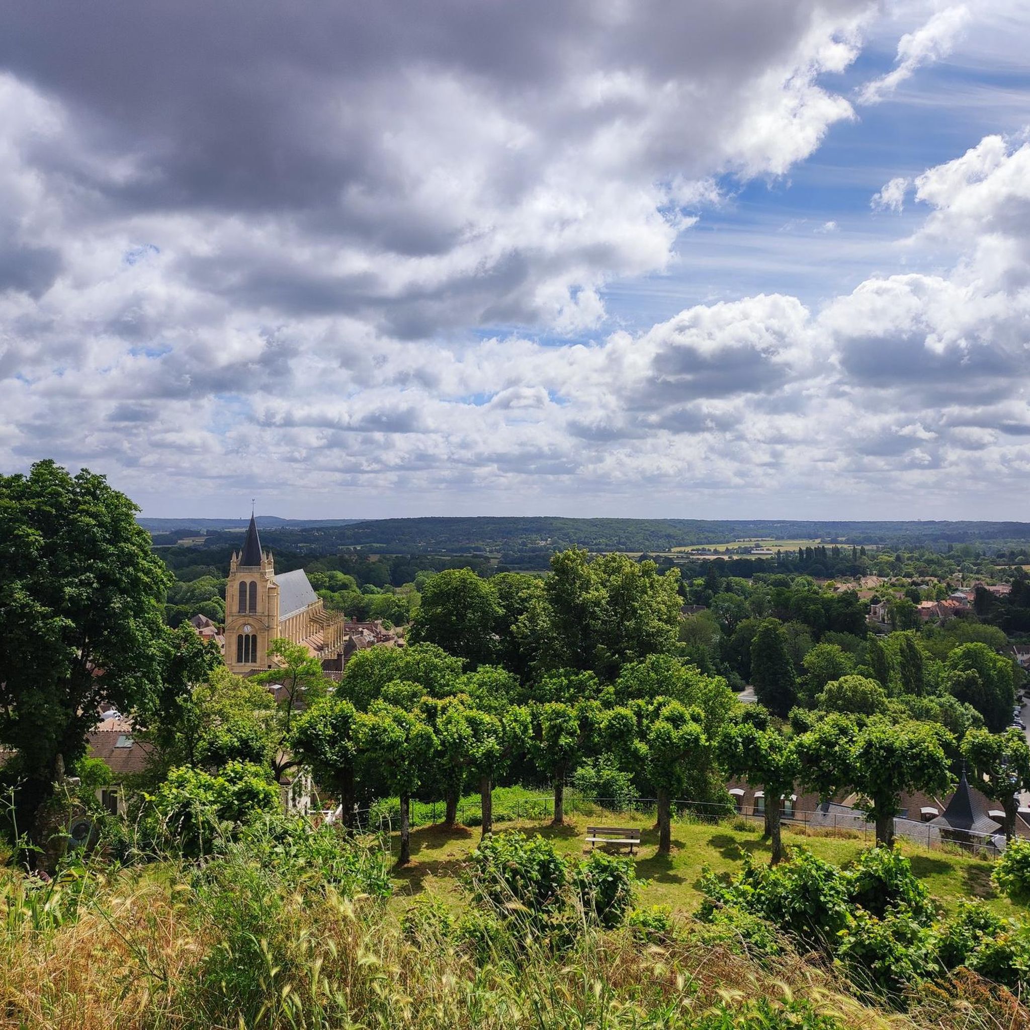
Gravel biking around Montfort-L'Amaury offers a network of routes through varied terrain. The region is characterized by extensive woodlands, including Sainte-Apolline Forest, and features numerous ponds and small hills. These routes often connect natural landscapes with historical points of interest, providing diverse riding experiences.
Best gravel bike trails around Montfort-L'Amaury
- The most popular gravel bike trail is Bassin de Pissaloup – Saint-Quentin Pond loop from Villiers - Neauphle - Pontchartrain, a 25.0 miles (40.2 km) trail that takes 2…
Last updated: July 3, 2026
4.0
(3)
26
riders
Moderate gravel ride. Good fitness required. Mostly paved surfaces. Suitable for all skill levels.
5.0
(3)
22
riders
Moderate gravel ride. Good fitness required. Mostly paved surfaces. Suitable for all skill levels.

Sign up for free
12
riders
Moderate gravel ride. Good fitness required. Mostly paved surfaces. Suitable for all skill levels.
3.5
(2)
6
riders
34.8km
02:19
300m
300m
Moderate gravel ride. Good fitness required. Mostly paved surfaces. Suitable for all skill levels.
4.0
(1)
4
riders
Hard gravel ride. Good fitness required. You may need to push your bike for some segments of this route.
Get access to more routes and recommendations from other explorers.
Sign up for free
Already have an account?
Our route recommendations are based on thousands of hikes, rides, and runs completed by other people on komoot.
Start today with a free account
Your next adventure awaits.
Login or Signup
Other adventures around Montfort-L'Amaury

Tips from the Community

Cycle path that allows you to stay away from this road where motorists drive fast, so an extra safety for us cyclists.
1
0

A rarity, cycle paths in the forest. Very, very few roots crossing it. Often, there is a parallel path for mountain bikers.
0
0


table in a marshy area with a small bike park with cool bumps
0
0

In the heart of the village of Villiers Saint Frédéric, a porch marks the entrance to the old castle. It leads to the old town hall, now the municipal library, and to the church. Behind us, the new town hall.
0
0
This small table is in the oldest large circle. A large table is located in the new small star. An old table, called the "débotter" table, on which the king sat so that his large hunting boots could be put on, it also served as a snack table and also, and perhaps especially by climbing onto it by a circular bench, as an observatory in the center of a star. The small table of Beynes seems the oldest, it is a large circular block, split in the middle and supported by four terminals. The large table is more ornate with the inscription "remade in 1783", and its top bears the indication of the roads, also serving as an orientation table. This assignment is unique, moreover the inscription "Route d'Auteuil" does not correspond to the star where it is, but to the Grand Rond. It is reasonable to think that the table from Ste Appoline (Plaisir) was brought there first, while the one from Beynes was being remade, then the tablets were reversed, and this is how the large table is in the small star and gives the orientations of the Grand Rond.
0
0

Quite calm lake, ideal for a short break.
0
0
Celtic Gaul left to the northwest of Saint-Léger the largest known dolmen in the Paris region. Measuring approximately six cubic meters and between fifteen and twenty tonnes, it is known as the Ardoue stone or Ardroue and is located in the ancient carnute forest.
0
0
Frequently Asked Questions
What is the overall difficulty level of gravel biking around Montfort-L'Amaury?
The gravel bike trails around Montfort-L'Amaury primarily feature moderate difficulty. Out of 33 available routes, 20 are rated as moderate, offering a balanced challenge for most riders. There are also 12 more difficult routes for experienced cyclists, and one easier option.
Are there any long-distance gravel cycling routes in the Montfort-L'Amaury area?
Yes, several routes offer longer distances. For example, the Bassin de Pissaloup – Saint-Quentin Pond loop covers 40.2 km, and the Plaisir Church – Plaisir Castle loop is 39.7 km long, providing substantial rides through the region's varied terrain.
What kind of scenery can I expect on gravel bike trails near Montfort-L'Amaury?
The region is characterized by extensive woodlands, including the Sainte-Apolline Forest, numerous serene ponds, and gentle rolling hills. Many routes also connect natural landscapes with historical points of interest, offering a diverse and scenic riding experience.
Are there any beginner-friendly gravel bike trails in Montfort-L'Amaury?
While most routes are moderate, there is one designated easy route available. For those new to gravel biking, starting with a shorter, less hilly moderate route like the Sainte-Apolline Forest – Wood-carved totem pole loop (30.7 km) could be a good introduction, as it offers manageable elevation changes.
Are there any circular gravel bike routes around Montfort-L'Amaury?
Yes, many of the gravel bike routes in the area are designed as loops. Examples include the Bassin de Pissaloup – Saint-Quentin Pond loop and the Anne of Brittany Tower – Hollande Pond loop, allowing you to start and finish at the same point.
What are some interesting landmarks or attractions to see along the gravel bike trails?
The trails often pass by historical sites and natural beauty spots. You might encounter places like the Vaux-de-Cernay Road and Vaux-de-Cernay Abbey, the Notre-Dame du Chêne Chapel, or various ponds such as Rompu Pond and Étang de Hollande.
What do other gravel bikers enjoy most about the Montfort-L'Amaury area?
The area is highly rated by the komoot community, with an average score of 4.3 stars from over 20 reviews. Riders often praise the diverse terrain, the extensive woodlands, and the serene ponds that define the routes, providing a rewarding experience for various skill levels.
Are there any routes that feature significant climbs or more challenging terrain?
Yes, for more advanced riders, there are 12 difficult routes available. One example that includes a notable ascent is the 18% hill – Sainte-Apolline Forest loop, which offers a more demanding experience within the Sainte-Apolline Forest.
Are there any gravel bike routes that pass by lakes or ponds?
Absolutely. The region is known for its numerous ponds. Routes like the Bassin de Pissaloup – Saint-Quentin Pond loop navigate around local ponds, and the Anne of Brittany Tower – Hollande Pond loop specifically features the Étang de Hollande.
What is the best time of year for gravel biking in Montfort-L'Amaury?
While specific seasonal conditions can vary, the extensive woodlands and varied terrain make Montfort-L'Amaury enjoyable for gravel biking across many seasons. Spring and autumn generally offer pleasant temperatures and beautiful scenery, while summer can be great for longer days. Always check local weather conditions before heading out.
Are there options for family-friendly gravel biking in the area?
Given that most routes are moderate, families with some cycling experience should find suitable options. The single easy route is ideal for beginners, and some of the shorter moderate loops through the forests and around ponds can also be enjoyable for families looking for a less strenuous ride.
Most popular routes around Montfort-L'Amaury
Most popular attractions around Montfort-L'Amaury

Get inspired with the komoot mobile app


Explore more
Browse the best Gravel rides in other regions.
