The best gravel rides around Neuhäusel
4.4
(56)
298
riders
52
rides
Gravel biking around Neuhäusel offers diverse terrain within Germany's Westerwald district, characterized by rolling hills, dense forests, and river valleys. The region provides a mix of natural beauty and varied surfaces, including forest paths, gravel trails, and paved sections. This landscape allows for off-road cycling experiences across different fitness and skill levels. Many routes feature mostly paved surfaces, making them suitable for gravel bikes.
Best gravel bike trails around Neuhäusel
- The most popular gravel bike trail is Greffern Marina –…
Last updated: November 3, 2026
4.8
(4)
15
riders
44.1km
02:18
60m
60m
Moderate gravel ride. Good fitness required. Mostly paved surfaces.
4.0
(1)
20
riders
Easy gravel ride. Mostly paved surfaces.

5.0
(1)
24
riders
149km
07:41
250m
250m
Hard gravel ride. Very good fitness required. Mostly paved surfaces.
4.7
(7)
16
riders
Moderate gravel ride. Good fitness required. Mostly paved surfaces.
4.5
(2)
12
riders
Moderate gravel ride. Good fitness required. Mostly paved surfaces.
Get access to more routes and recommendations from other explorers.
Already have an account?
Our route recommendations are based on thousands of hikes, rides, and runs completed by other people on komoot.
Start today with a free account
Your next adventure awaits.


Tips from the Community


The Rhine is one of the most important rivers in Europe and has a length of approximately 1,233 km. Its source lies in the Swiss Alps, where it originates from several mountain streams. From there, it first flows through Switzerland and then partly forms the border between Germany and France, before continuing through Germany and finally the Netherlands. Near Rotterdam, the Rhine divides into several distributaries and finally reaches the North Sea. Its drainage basin is very large (approx. 185,000 km²) and includes many tributaries such as the Moselle, Main, or Neckar. The Rhine has great importance for Europe: Shipping: One of the most important waterways in the world for trade and transport Economy: Connection of many industrial and port cities Nature: Habitat for numerous animal and plant species Energy: Utilization through hydropower in the Alpine regions Due to its location and use, the Rhine is considered one of the most important lifelines of Central Europe.
1
0
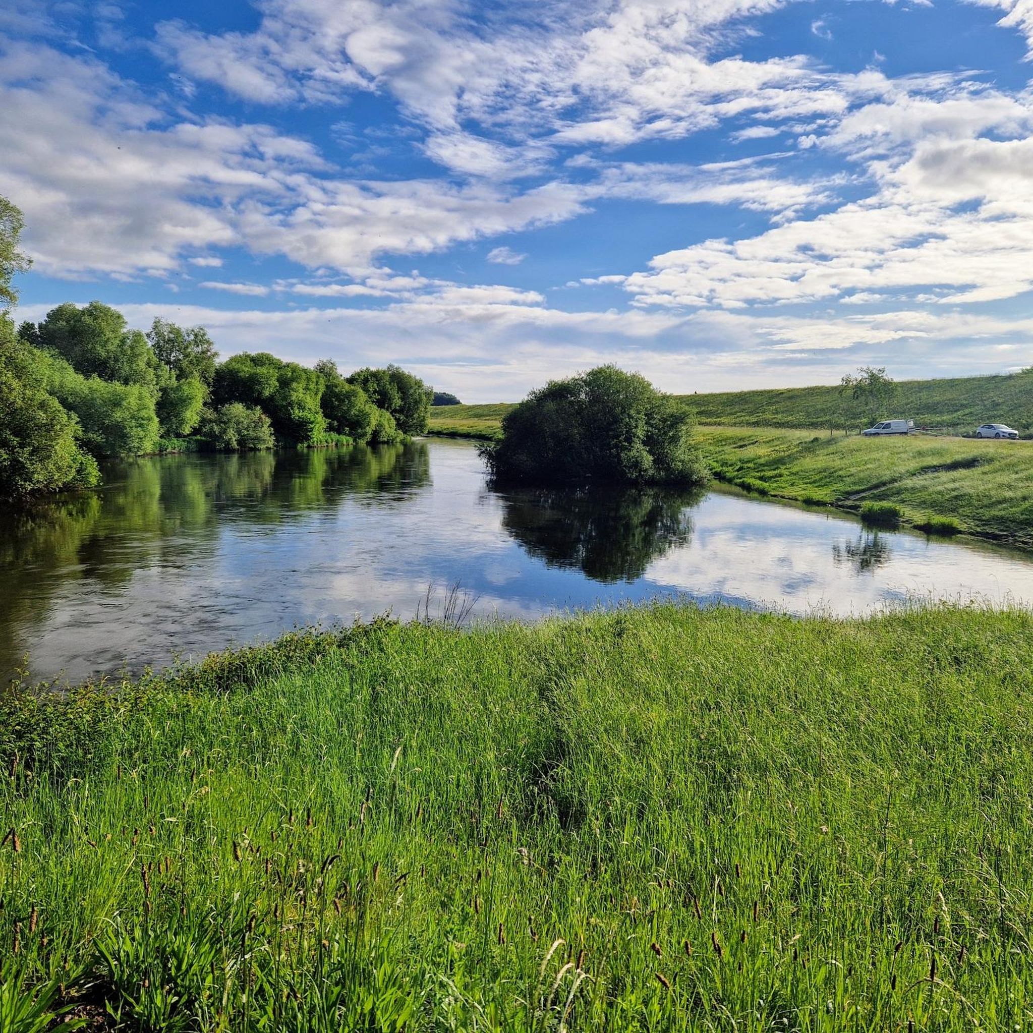
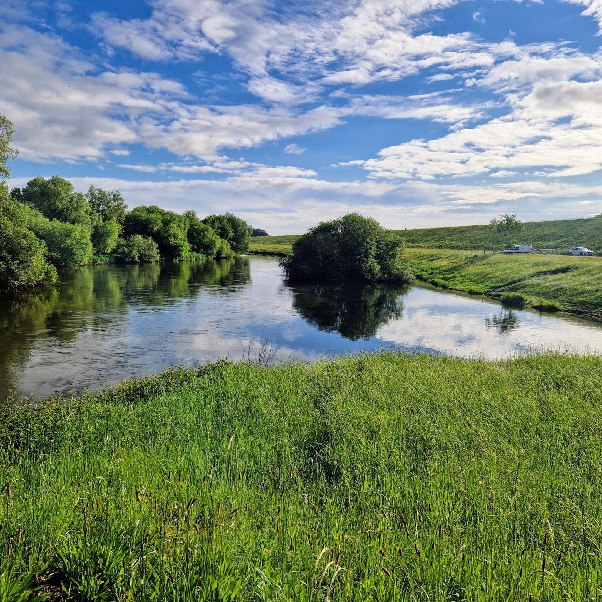
The Altrhein near Plittersdorf is a former arm of the Rhine, which was separated from the main current by the Rhine regulation in the 19th century (also called Rhine straightening). Today, the Altrhein is a calm, mostly slow-flowing or stagnant body of water in the Rhine floodplain near Plittersdorf. It is surrounded by floodplain forests, meadows, and small bodies of water. This natural landscape offers many animal and plant species an important habitat, for example birds such as herons and swans, as well as various fish species. In the past, the Rhine flowed directly past Plittersdorf and often led to floods. The course of the river was changed by the straightening, and the Altrhein was preserved as a "remnant" of the old Rhine. Today, it has above all ecological significance and also serves as a recreational area for people.
0
0

Beautiful sandy beach - good for swimming here, if the beach isn't underwater due to high water levels 😉
3
0
A museum ship that was still in operation until 1989. A great photo opportunity. And of course, there are information panels about the history of eel fishing on the Rhine.
6
0

Beautiful area, well-developed cycle path.
1
0


you always meet nice people again and again
0
0
Frequently Asked Questions
How many gravel bike trails are available around Neuhäusel?
Neuhäusel offers a wide selection of routes, with over 70 gravel bike trails to explore. These routes cater to various skill levels, from easy paths to more challenging rides.
What kind of terrain can I expect on gravel bike trails near Neuhäusel?
The terrain around Neuhäusel is quite varied, characterized by rolling hills, dense forests, and picturesque river valleys. You'll encounter a mix of forest paths, dedicated gravel trails, and some paved sections, providing a diverse riding experience.
What do other gravel bikers enjoy most about the trails in Neuhäusel?
The komoot community highly rates the gravel biking experience in Neuhäusel, with an average score of 4.5 stars from over 65 reviews. Riders often praise the varied terrain and the immersive experience in nature, away from congested roads.
Are there any easy gravel bike trails suitable for beginners or families?
Yes, Neuhäusel offers 20 easy gravel bike routes. While specific family-friendly routes aren't detailed, easy trails are generally suitable for those with less experience or families. For a moderate option, consider the Greffern Marina – Greffern Marina loop from Sinzheim Nord, which is 24.0 miles (38.6 km) long and often completed in about 2 hours 27 minutes.
What are some of the more challenging gravel bike routes in the area?
For experienced riders seeking a challenge, Neuhäusel has 22 difficult routes. A notable option is the Old Rhine in the Rastatt Rhine Floodplain – Flood Protection Dike loop from Sinzheim, a demanding 99.5 miles (160.1 km) trail that takes nearly 11 hours to complete. Another challenging route is the Shaded Cycle Path – La Wantzenau Wetland loop from Sessenheim, covering 77.8 miles (125.2 km) through wetland areas.
What kind of natural features or landmarks can I see along the gravel routes?
The region around Neuhäusel is rich in natural beauty and historical sites. While riding, you might encounter scenic river valleys and dense forests. Nearby attractions include historical castles like Rastatt Palace and Rastatt Castle and Garden, as well as natural monuments like the Avenue of Bald Cypress Trees, Schlosspark Rastatt. The broader Rhineland-Palatinate region also features gorgeous stream landscapes.
Are there any circular gravel bike routes available?
Yes, many of the gravel bike trails around Neuhäusel are designed as loops, allowing you to start and end at the same point. For example, the Old Rhine in the Rastatt Rhine Floodplain – Sandy Beach at Goldkanal loop from Sinzheim is a moderate 52.3 miles (84.2 km) circular route.
What is the best time of year for gravel biking in Neuhäusel?
Neuhäusel, located in the Westerwald district, offers enjoyable gravel biking throughout much of the year. Spring and autumn typically provide pleasant temperatures and beautiful scenery. While winter biking is possible, be prepared for colder conditions and potentially wet or icy trails, especially in forested areas.
Are there places to stop for refreshments or rest along the trails?
While specific cafes or pubs directly on every trail are not listed, the region has various huts and shelters that can serve as resting points. For instance, you might find places like the Willi Drapp Hut or the Lauftreff Wooden Shelter. It's always a good idea to carry sufficient water and snacks, especially on longer rides.
What are the options for parking when gravel biking in Neuhäusel?
While specific parking locations for each trailhead are not detailed, Neuhäusel and its surrounding towns generally offer public parking facilities. Many routes, especially those starting from towns like Sinzheim or Sessenheim, will have accessible parking nearby. It's advisable to check local parking information for your chosen starting point.
Can I reach the gravel biking areas around Neuhäusel using public transport?
Neuhäusel is part of Germany's well-connected public transport network. Depending on your starting point, you may be able to reach trailheads via local bus services or regional trains to nearby towns. Planning your route in advance with public transport schedules is recommended.
Are there any specific regulations or permits required for gravel biking in the Westerwald region?
Generally, no special permits are required for gravel biking on designated trails in the Westerwald region. However, it's always important to respect local regulations, stay on marked paths, and be mindful of nature and other trail users. For more general information about experiencing nature in Rhineland-Palatinate, you can visit rlp-tourismus.com.
Most popular attractions around Neuhäusel

Get inspired with the komoot mobile app


Explore more
Browse the best Gravel rides in other regions.
